Elevation of Simmons Rd, Prescott, WA, USA
Location: United States > Washington > Walla Walla County > Prescott >
Longitude: -118.622545
Latitude: 46.433999
Elevation: 289m / 948feet
Barometric Pressure: 0KPa
Related Photos:
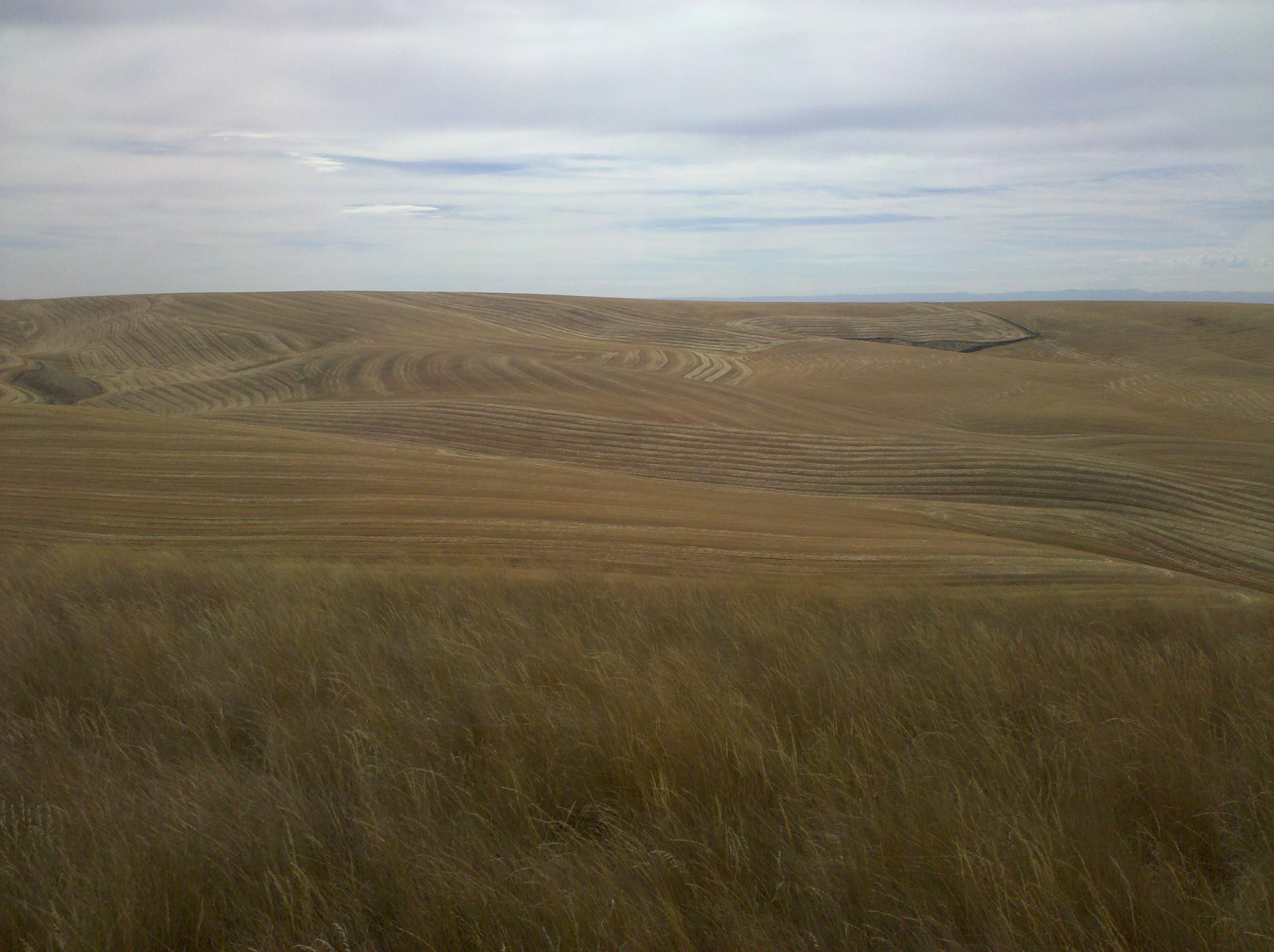
The view from Cell Phone Hill
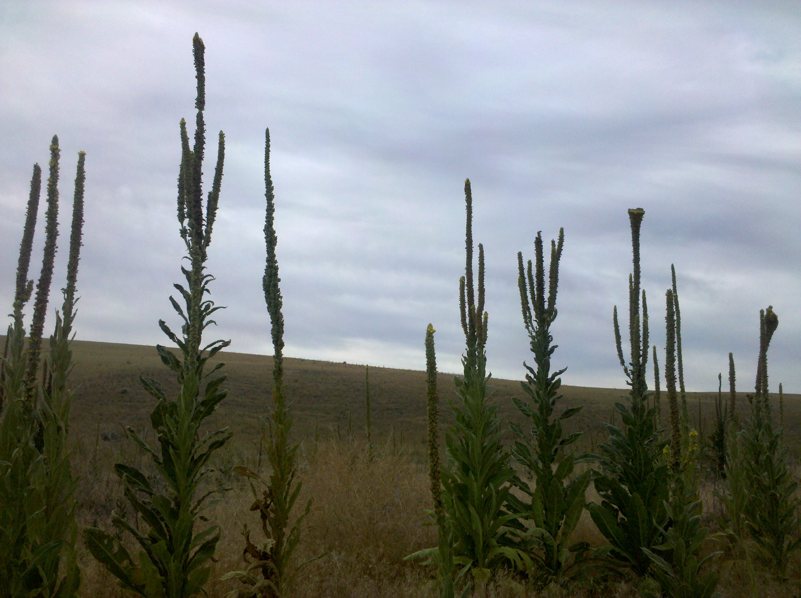
Still plenty of these guys around

"a 7,000 acre island of juniper and 100 foot sand dunes..."
Columbia Plateau

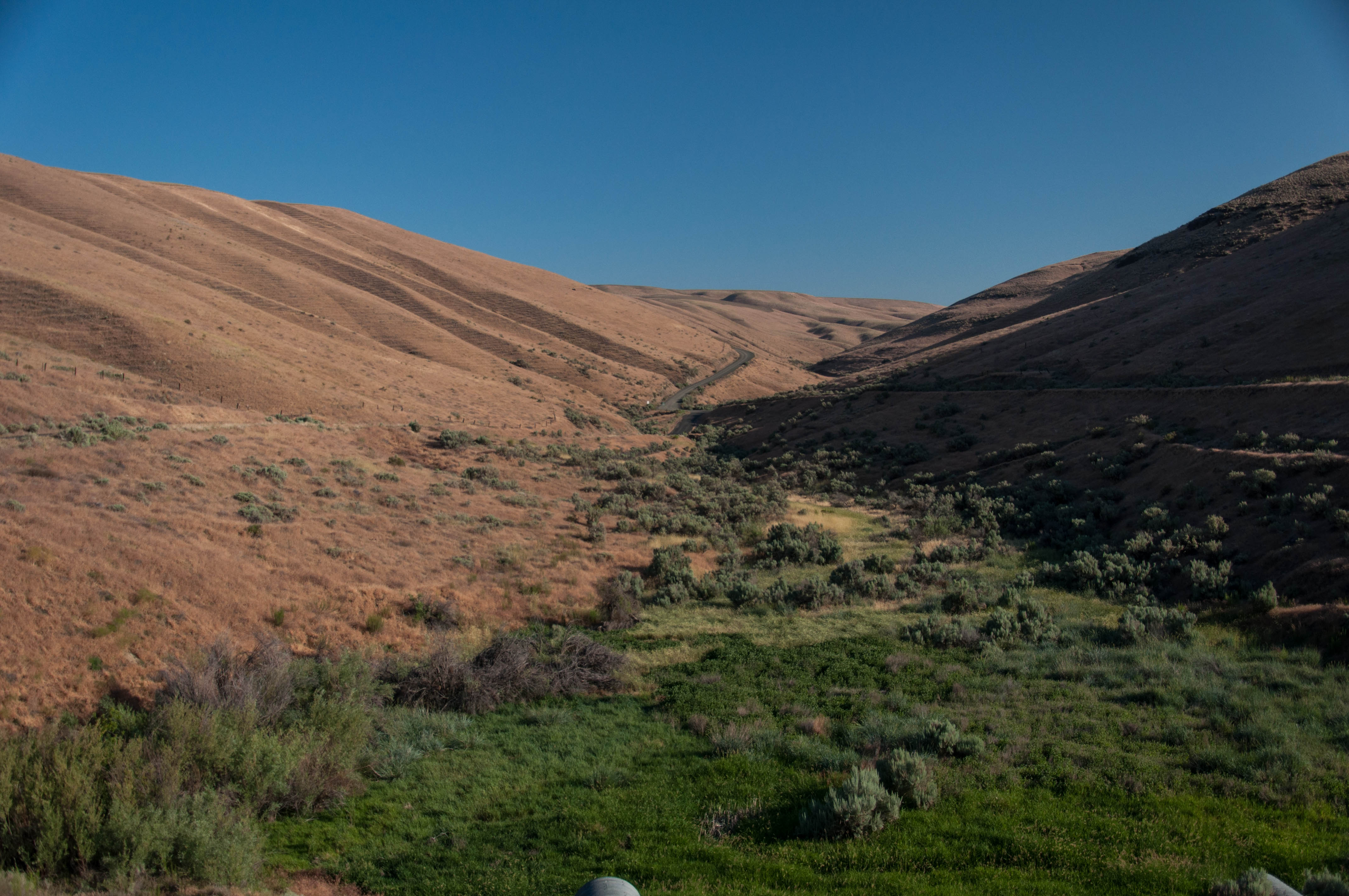
Truck Trail

Road Through The Desert
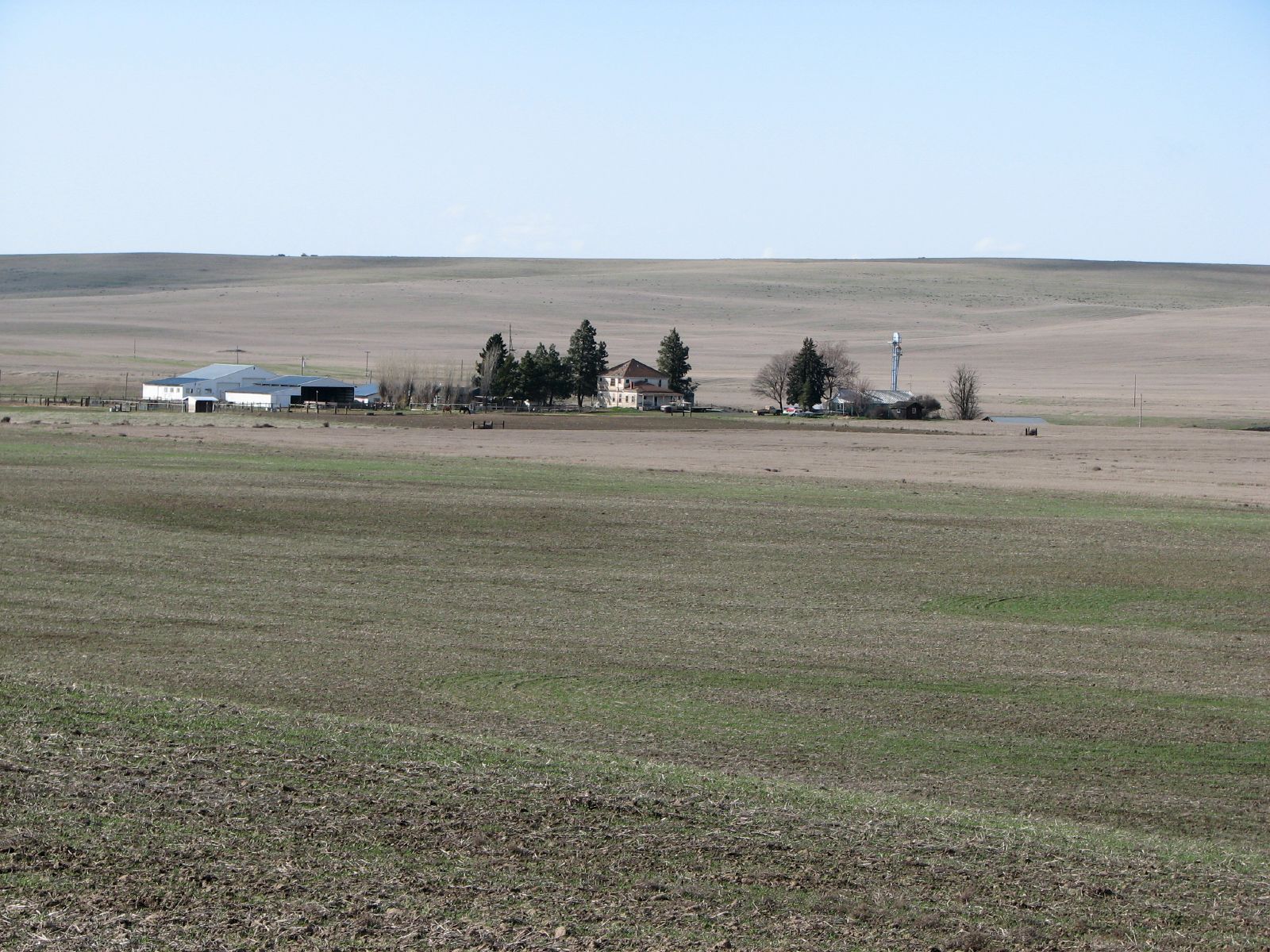
Hoffman Farmstead
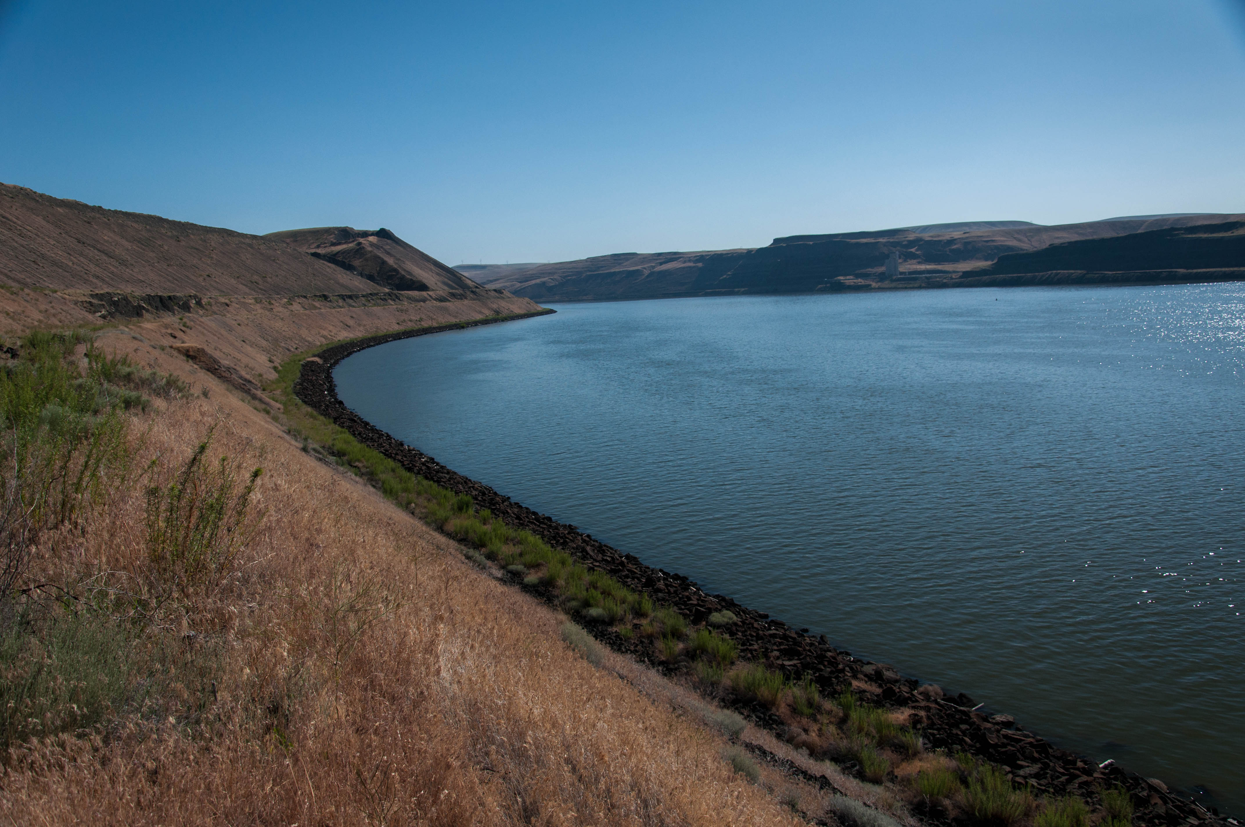
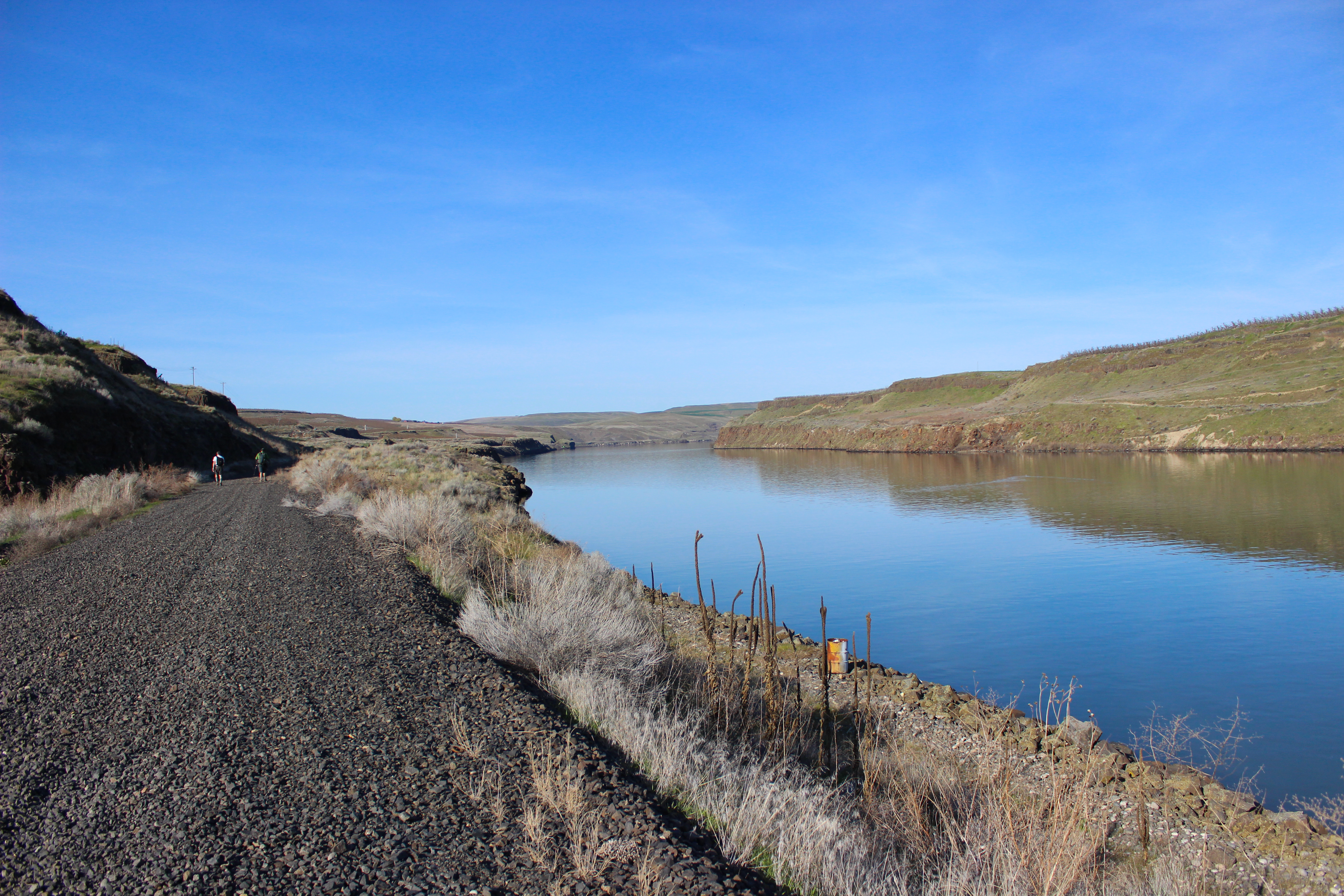
Along Snake River- Lake Sacajawea
Along Snake River
Topographic Map of Simmons Rd, Prescott, WA, USA
Find elevation by address:

Places near Simmons Rd, Prescott, WA, USA:
100 Burr Canyon Rd
31 Wallace Walker Rd, Pasco, WA, USA
Kahlotus
Franklin County
Lyons Ferry Rd, Prescott, WA, USA
Columbia Rd, Mesa, WA, USA
South Roxboro Road
Eltopia
Hatton
Bronson St, Hatton, WA, USA
Washtucna
Palouse Falls
5240 Eltopia West Rd
Adams County
Lind
33 E Larch St, Othello, WA, USA
Othello
691 S Canal Rd
N Power Plant Loop, Richland, WA, USA
Braeburn Pl NW, Soap Lake, WA, USA
Recent Searches:
- Elevation of Pasing, Munich, Bavaria, 81241, Germany
- Elevation of 24, Auburn Bay Crescent SE, Auburn Bay, Calgary, Alberta, T3M 0A6, Canada
- Elevation of Denver, 2314, Arapahoe Street, Five Points, Denver, Colorado, 80205, USA
- Elevation of Community of the Beatitudes, 2924, West 43rd Avenue, Sunnyside, Denver, Colorado, 80211, USA
- Elevation map of Litang County, Sichuan, China
- Elevation map of Madoi County, Qinghai, China
- Elevation of 3314, Ohio State Route 114, Payne, Paulding County, Ohio, 45880, USA
- Elevation of Sarahills Drive, Saratoga, Santa Clara County, California, 95070, USA
- Elevation of Town of Bombay, Franklin County, New York, USA
- Elevation of 9, Convent Lane, Center Moriches, Suffolk County, New York, 11934, USA
- Elevation of Saint Angelas Convent, 9, Convent Lane, Center Moriches, Suffolk County, New York, 11934, USA
- Elevation of 131st Street Southwest, Mukilteo, Snohomish County, Washington, 98275, USA
- Elevation of 304, Harrison Road, Naples, Cumberland County, Maine, 04055, USA
- Elevation of 2362, Timber Ridge Road, Harrisburg, Cabarrus County, North Carolina, 28075, USA
- Elevation of Ridge Road, Marshalltown, Marshall County, Iowa, 50158, USA
- Elevation of 2459, Misty Shadows Drive, Pigeon Forge, Sevier County, Tennessee, 37862, USA
- Elevation of 8043, Brightwater Way, Spring Hill, Williamson County, Tennessee, 37179, USA
- Elevation of Starkweather Road, San Luis, Costilla County, Colorado, 81152, USA
- Elevation of 5277, Woodside Drive, Baton Rouge, East Baton Rouge Parish, Louisiana, 70808, USA
- Elevation of 1139, Curtin Street, Shepherd Park Plaza, Houston, Harris County, Texas, 77018, USA