Elevation of Bronson St, Hatton, WA, USA
Location: United States > Washington > Adams County > Hatton >
Longitude: -118.8288045
Latitude: 46.7765364
Elevation: 340m / 1115feet
Barometric Pressure: 0KPa
Related Photos:
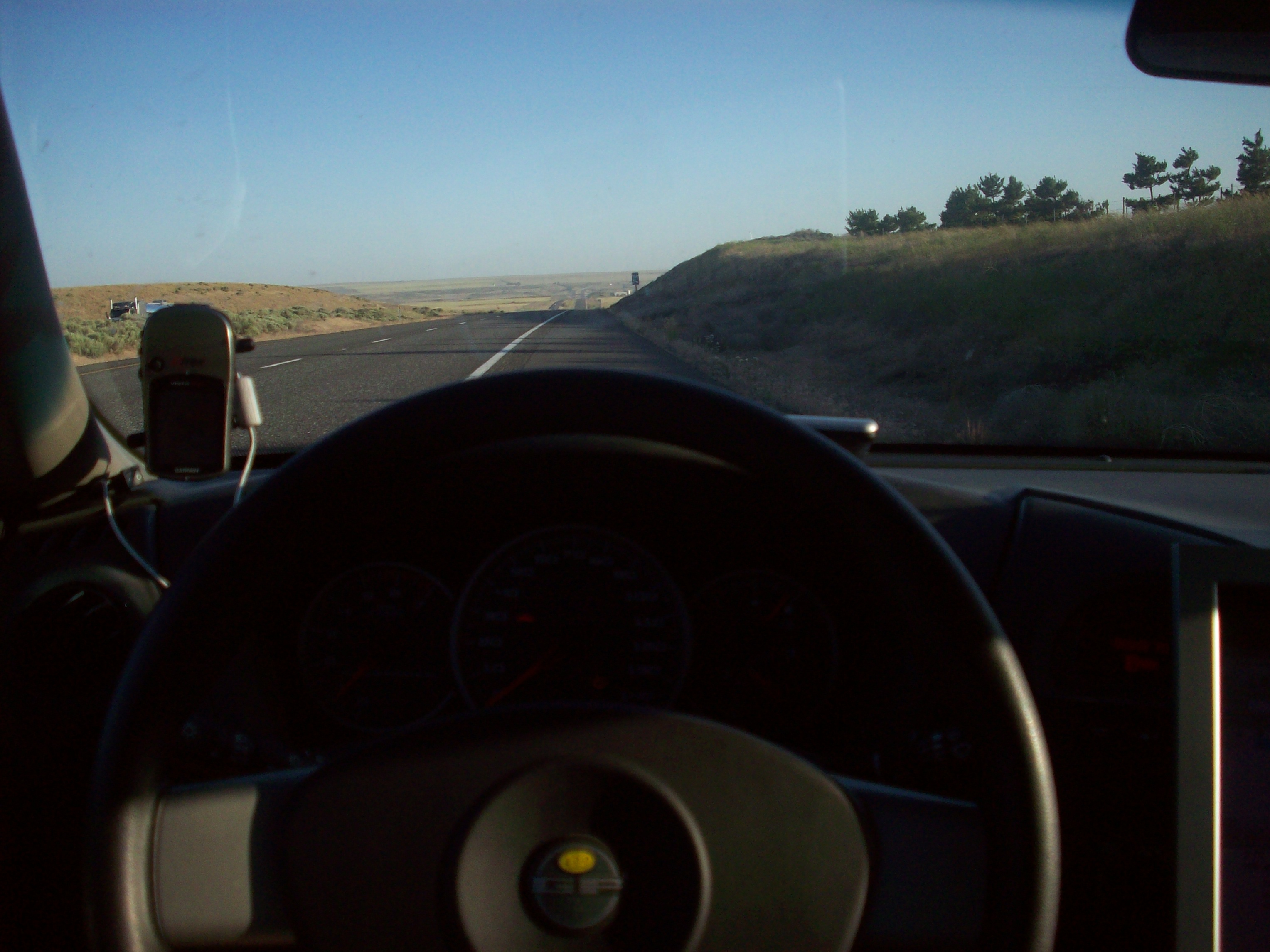
Gps and view

Tree Farm

Drive Hard

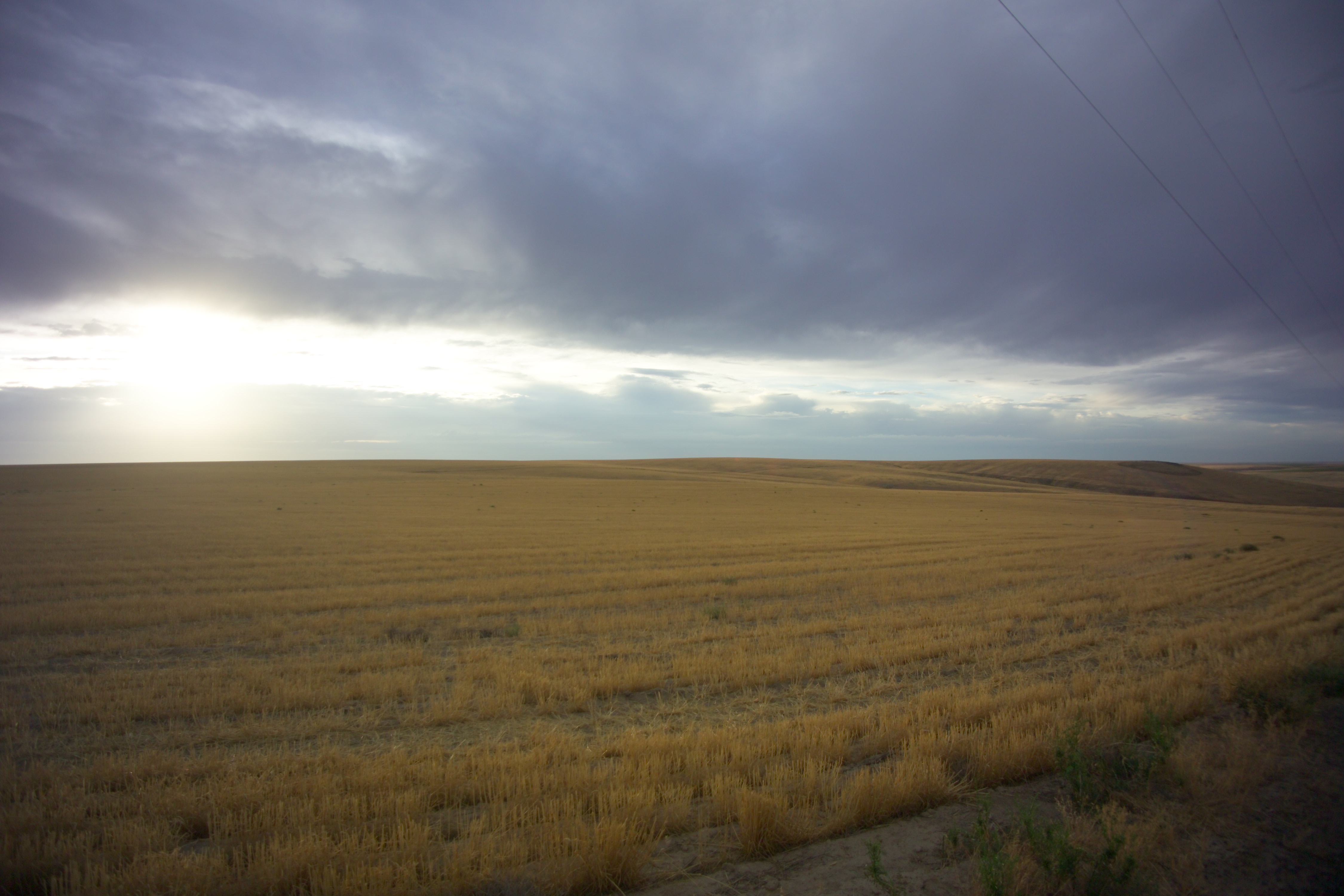
High Desert Morning
Near Servia, Washington
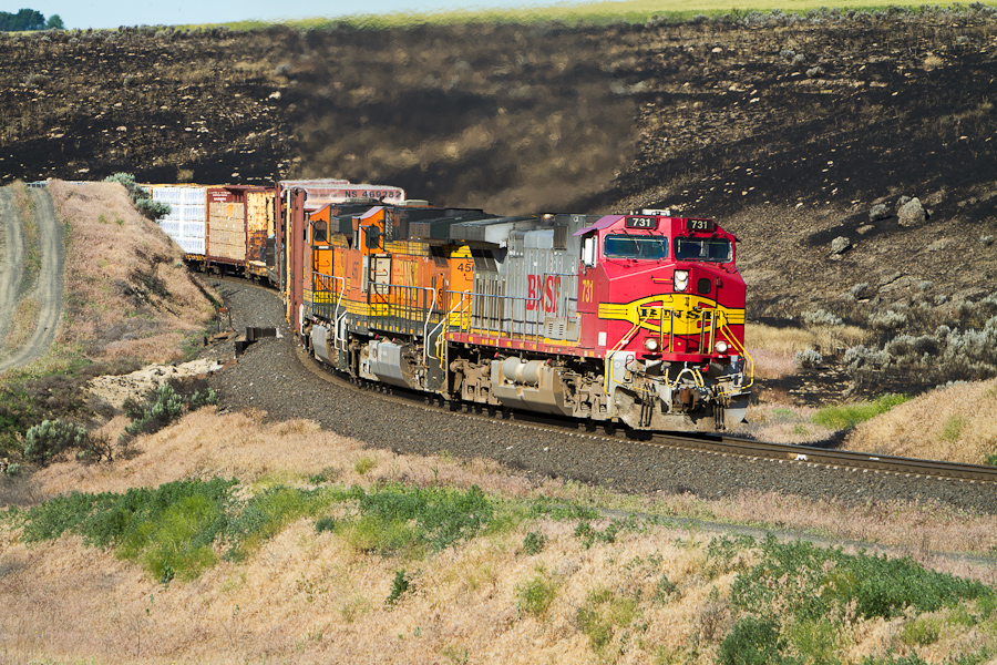
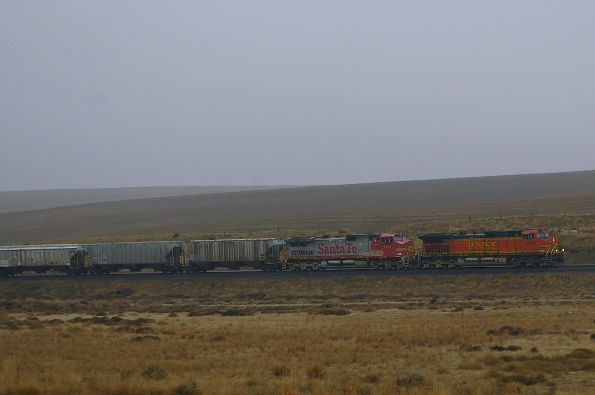
Normal Ops
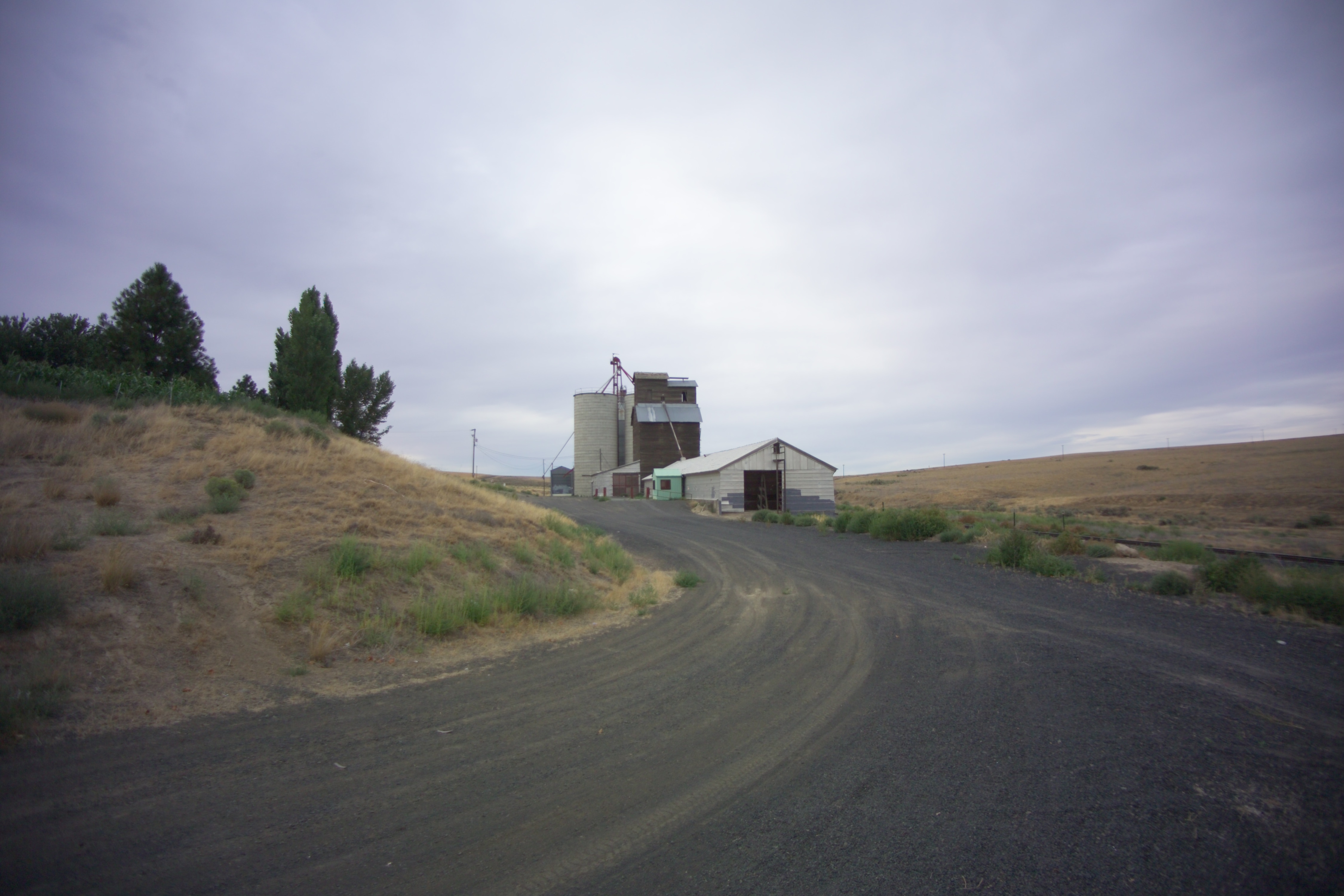
Schlomer, Washington
Schlomer, Washington
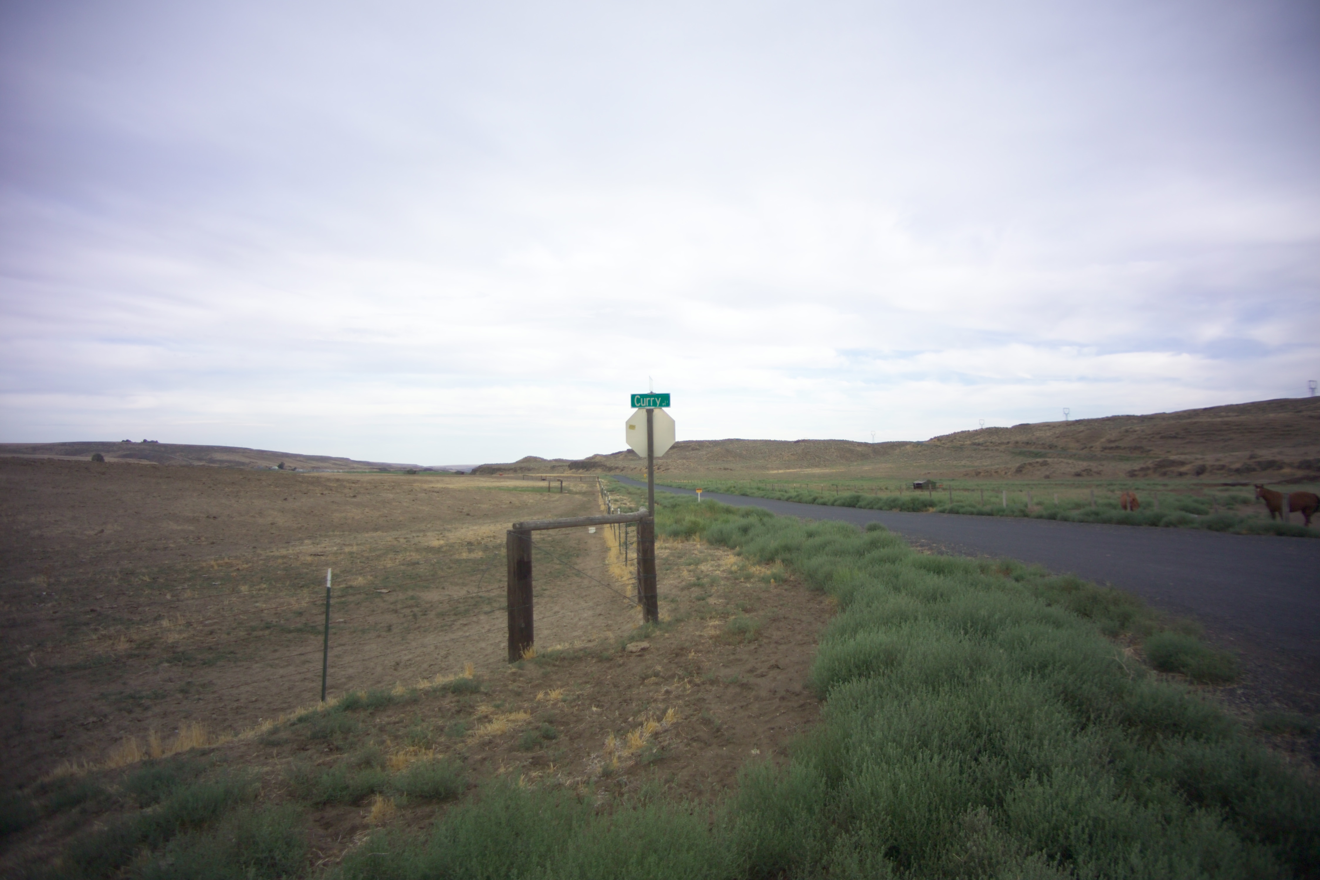
Curry, Washington
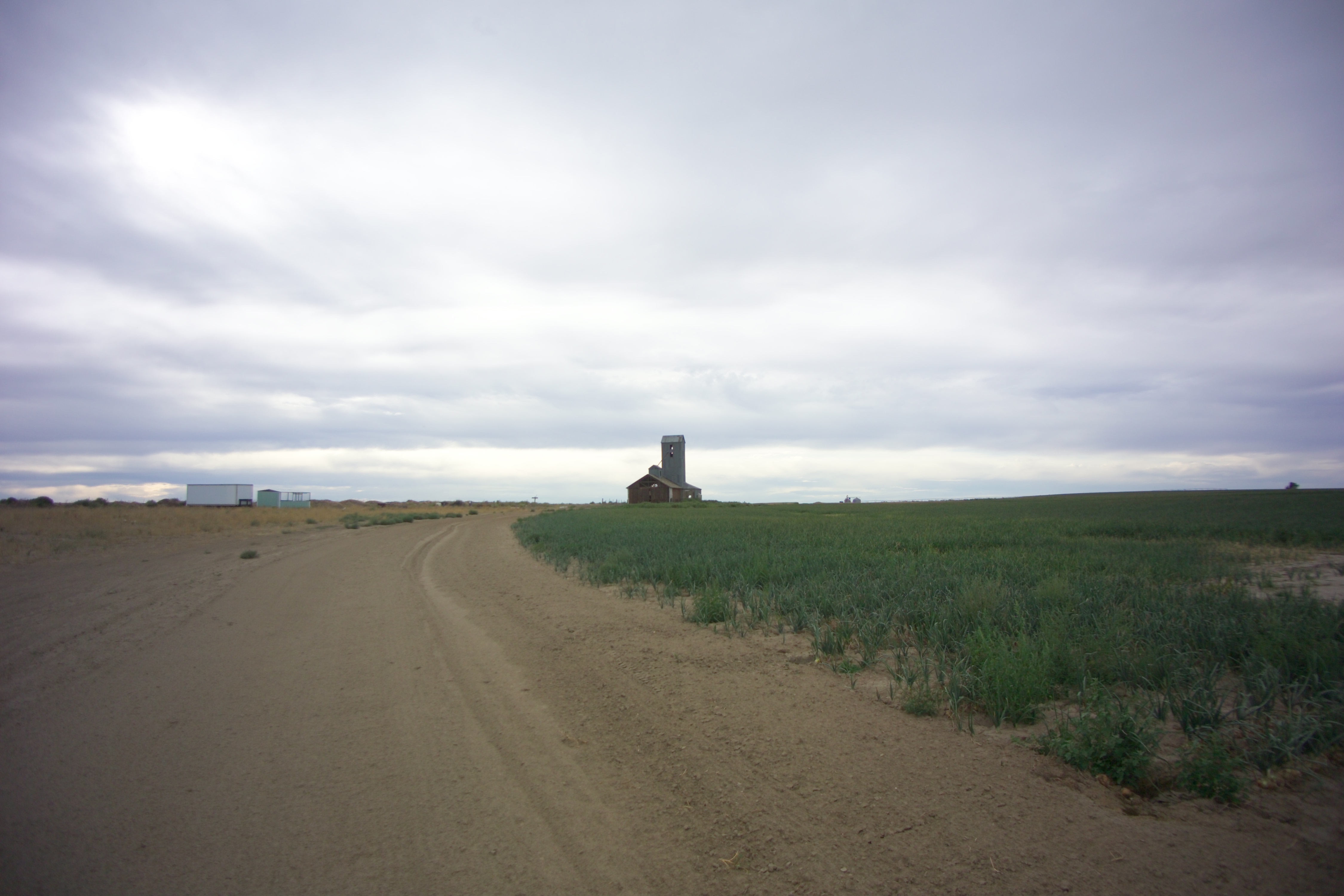
Schlomer, Washington
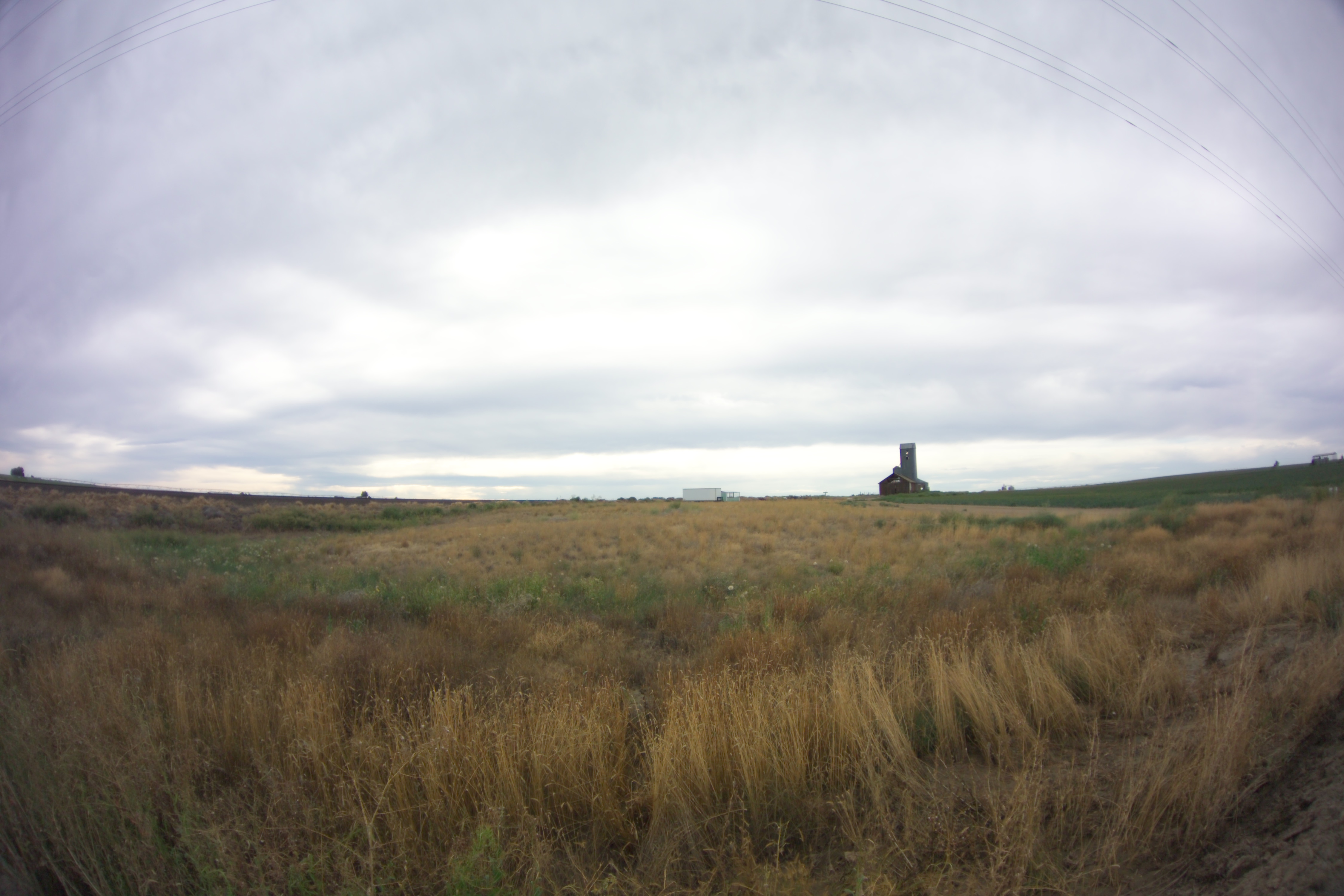
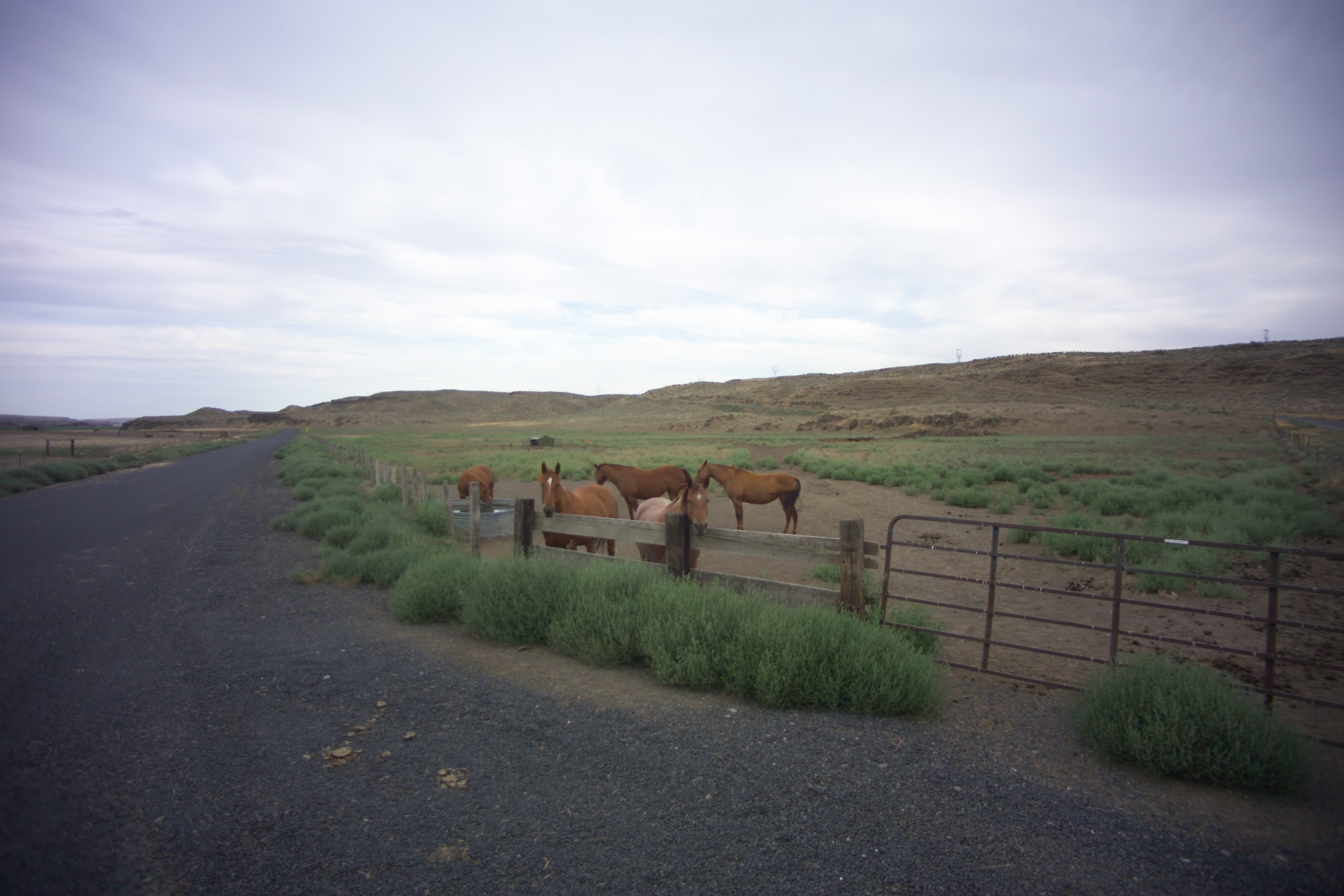
Hatton, Washington
Curry, Washington
Curry, Washington
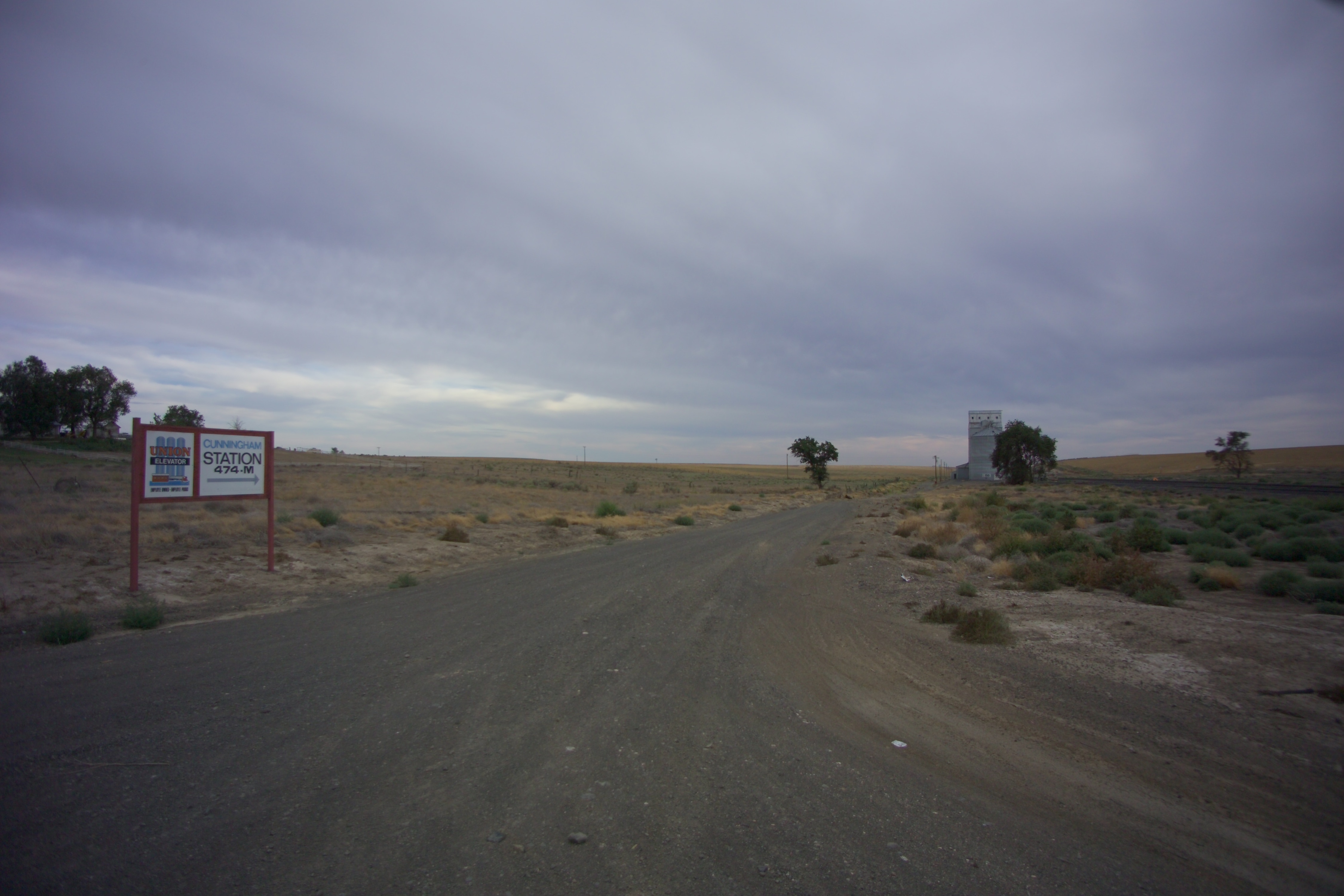
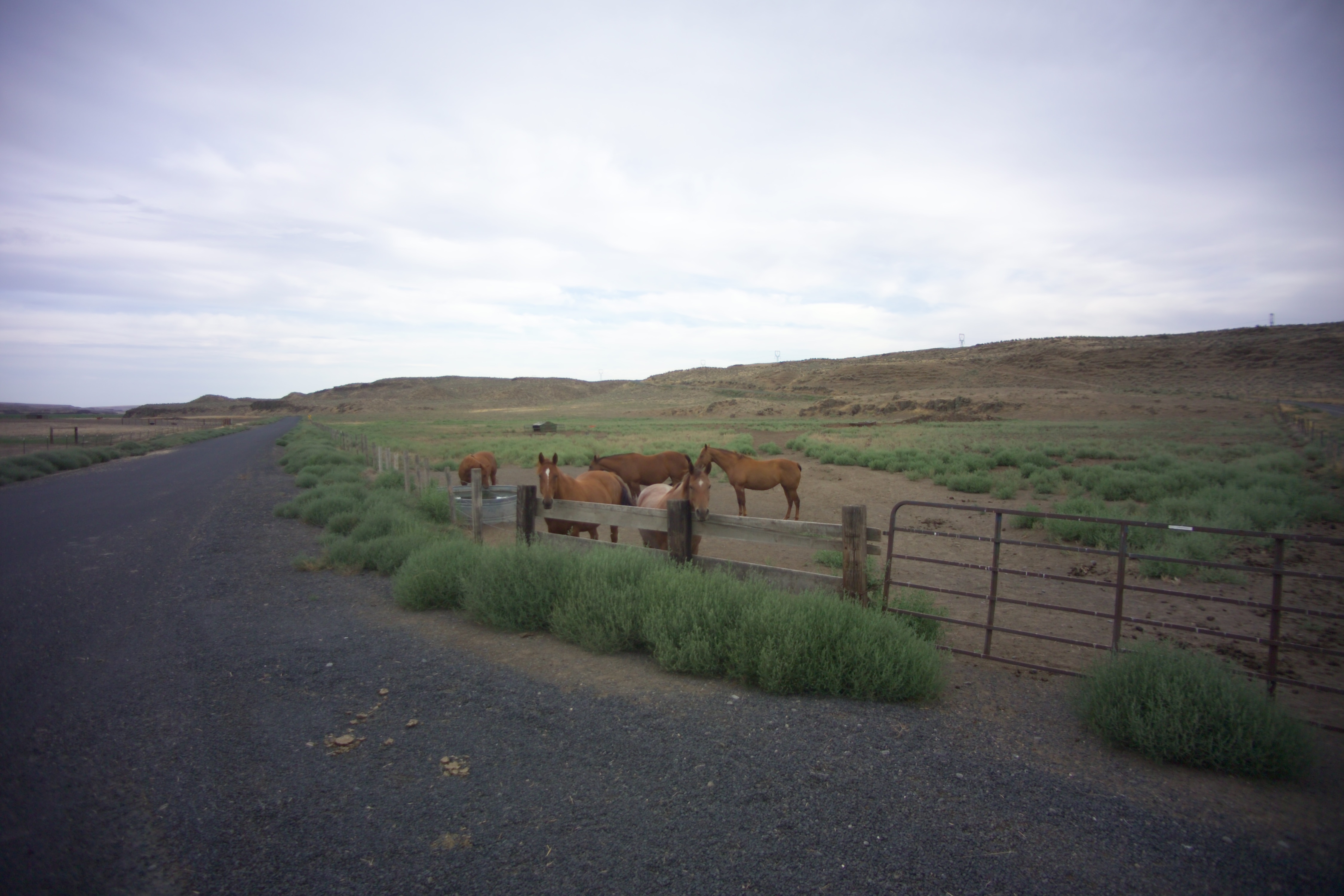
Cunningham, Washington
X-KALBND-04
Schlomer, Washington

2014-09-12 18;12;54

Near Schlomer, Washington

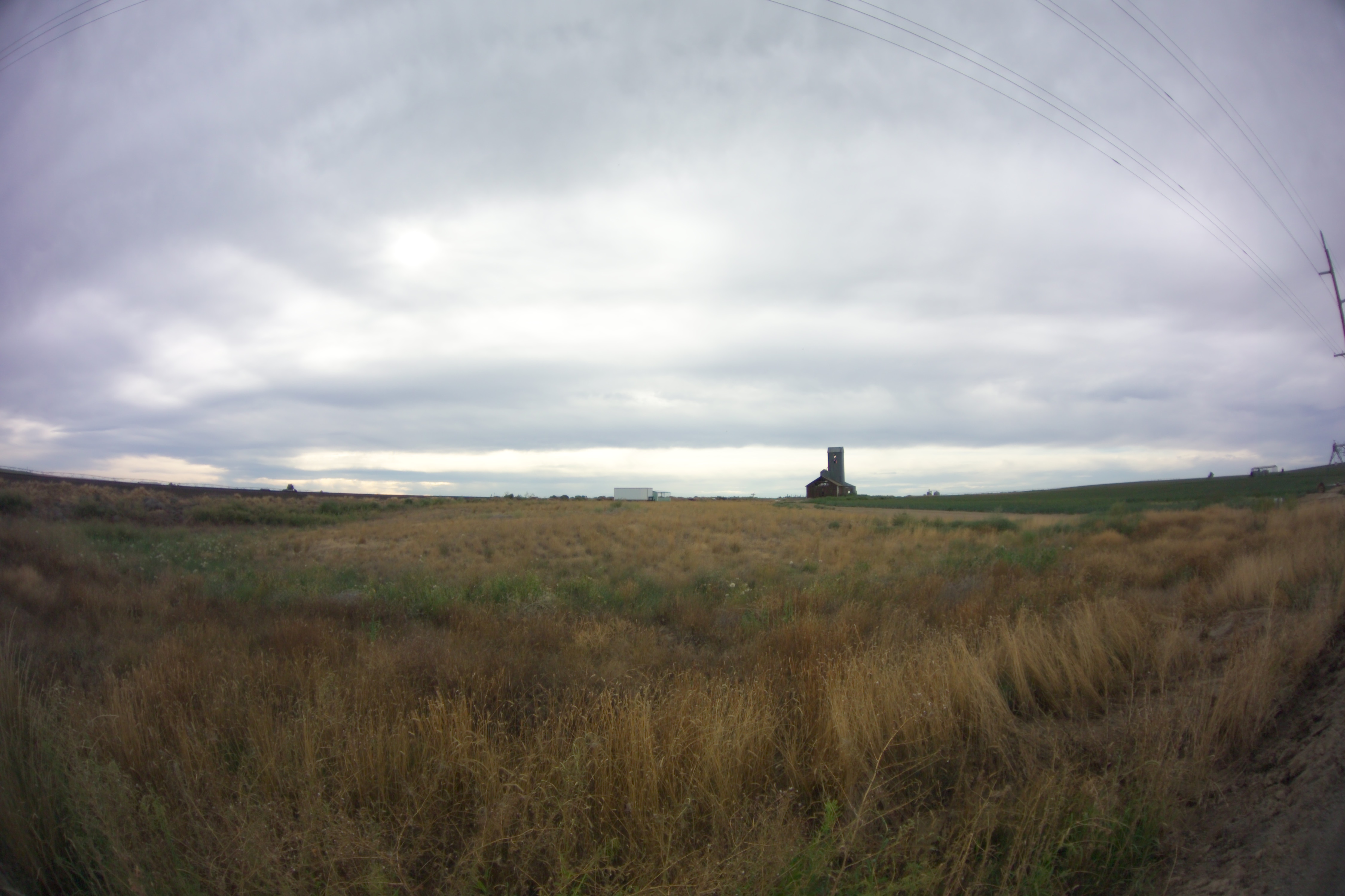
Bleak Horizons
Topographic Map of Bronson St, Hatton, WA, USA
Find elevation by address:

Places near Bronson St, Hatton, WA, USA:
Hatton
South Roxboro Road
Columbia Rd, Mesa, WA, USA
Franklin County
Lind
Kahlotus
Braeburn Pl NW, Soap Lake, WA, USA
100 Burr Canyon Rd
31 Wallace Walker Rd, Pasco, WA, USA
33 E Larch St, Othello, WA, USA
Othello
Adams County
691 S Canal Rd
Eltopia
Simmons Rd, Prescott, WA, USA
5240 Eltopia West Rd
Rd 2 Ne & Rd O Ne
13558 N Frontage Rd
2nd St NE, Moses Lake, WA, USA
1720 Rd N Ne
Recent Searches:
- Elevation of Denver, 2314, Arapahoe Street, Five Points, Denver, Colorado, 80205, USA
- Elevation of Community of the Beatitudes, 2924, West 43rd Avenue, Sunnyside, Denver, Colorado, 80211, USA
- Elevation map of Litang County, Sichuan, China
- Elevation map of Madoi County, Qinghai, China
- Elevation of 3314, Ohio State Route 114, Payne, Paulding County, Ohio, 45880, USA
- Elevation of Sarahills Drive, Saratoga, Santa Clara County, California, 95070, USA
- Elevation of Town of Bombay, Franklin County, New York, USA
- Elevation of 9, Convent Lane, Center Moriches, Suffolk County, New York, 11934, USA
- Elevation of Saint Angelas Convent, 9, Convent Lane, Center Moriches, Suffolk County, New York, 11934, USA
- Elevation of 131st Street Southwest, Mukilteo, Snohomish County, Washington, 98275, USA
- Elevation of 304, Harrison Road, Naples, Cumberland County, Maine, 04055, USA
- Elevation of 2362, Timber Ridge Road, Harrisburg, Cabarrus County, North Carolina, 28075, USA
- Elevation of Ridge Road, Marshalltown, Marshall County, Iowa, 50158, USA
- Elevation of 2459, Misty Shadows Drive, Pigeon Forge, Sevier County, Tennessee, 37862, USA
- Elevation of 8043, Brightwater Way, Spring Hill, Williamson County, Tennessee, 37179, USA
- Elevation of Starkweather Road, San Luis, Costilla County, Colorado, 81152, USA
- Elevation of 5277, Woodside Drive, Baton Rouge, East Baton Rouge Parish, Louisiana, 70808, USA
- Elevation of 1139, Curtin Street, Shepherd Park Plaza, Houston, Harris County, Texas, 77018, USA
- Elevation of 136, Sellers Lane, Repton, Monroe County, Alabama, 36475, USA
- Elevation of 12914, Elmington Drive, Lakewood Forest, Houston, Harris County, Texas, 77429, USA