Elevation of Hatton, WA, USA
Location: United States > Washington > Adams County >
Longitude: -118.8263881
Latitude: 46.7759744
Elevation: 327m / 1073feet
Barometric Pressure: 0KPa
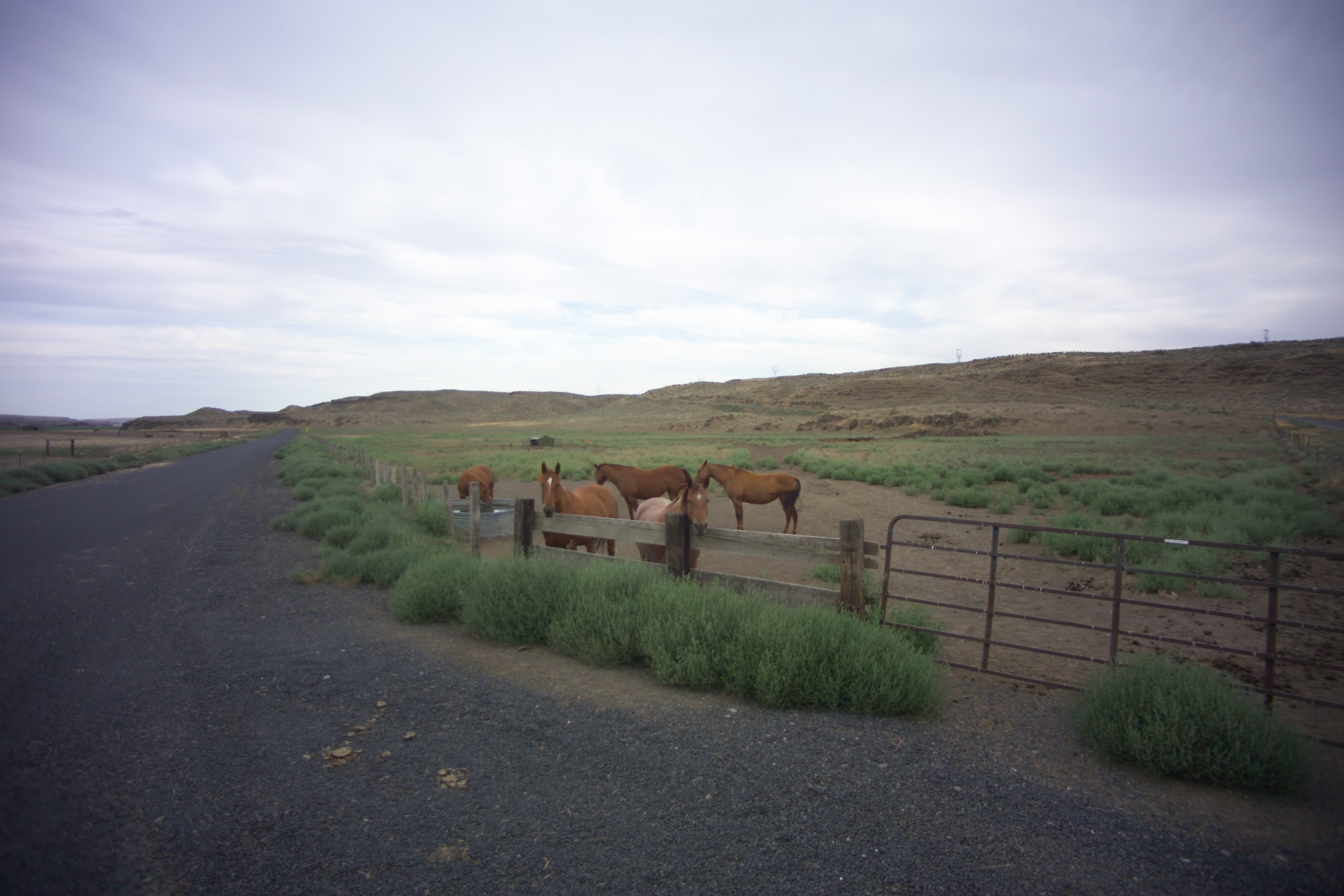
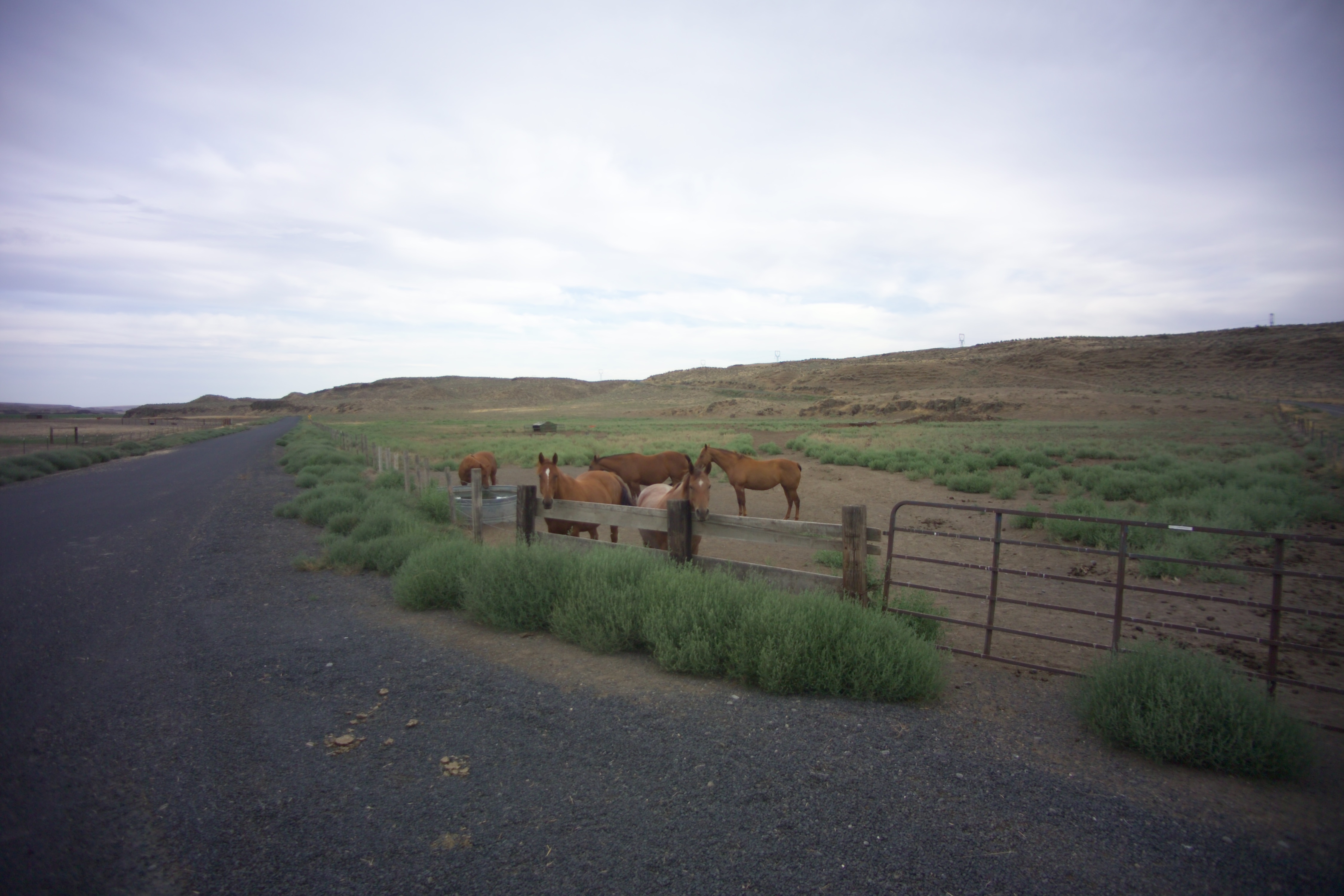
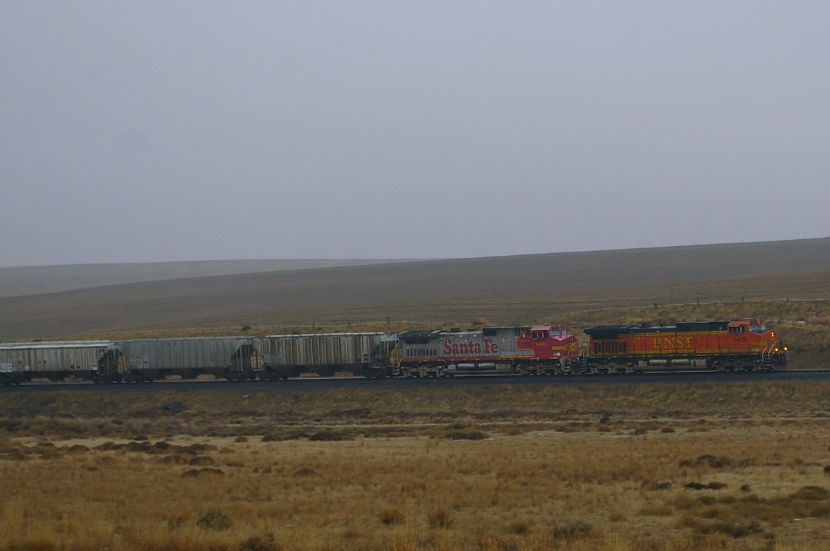
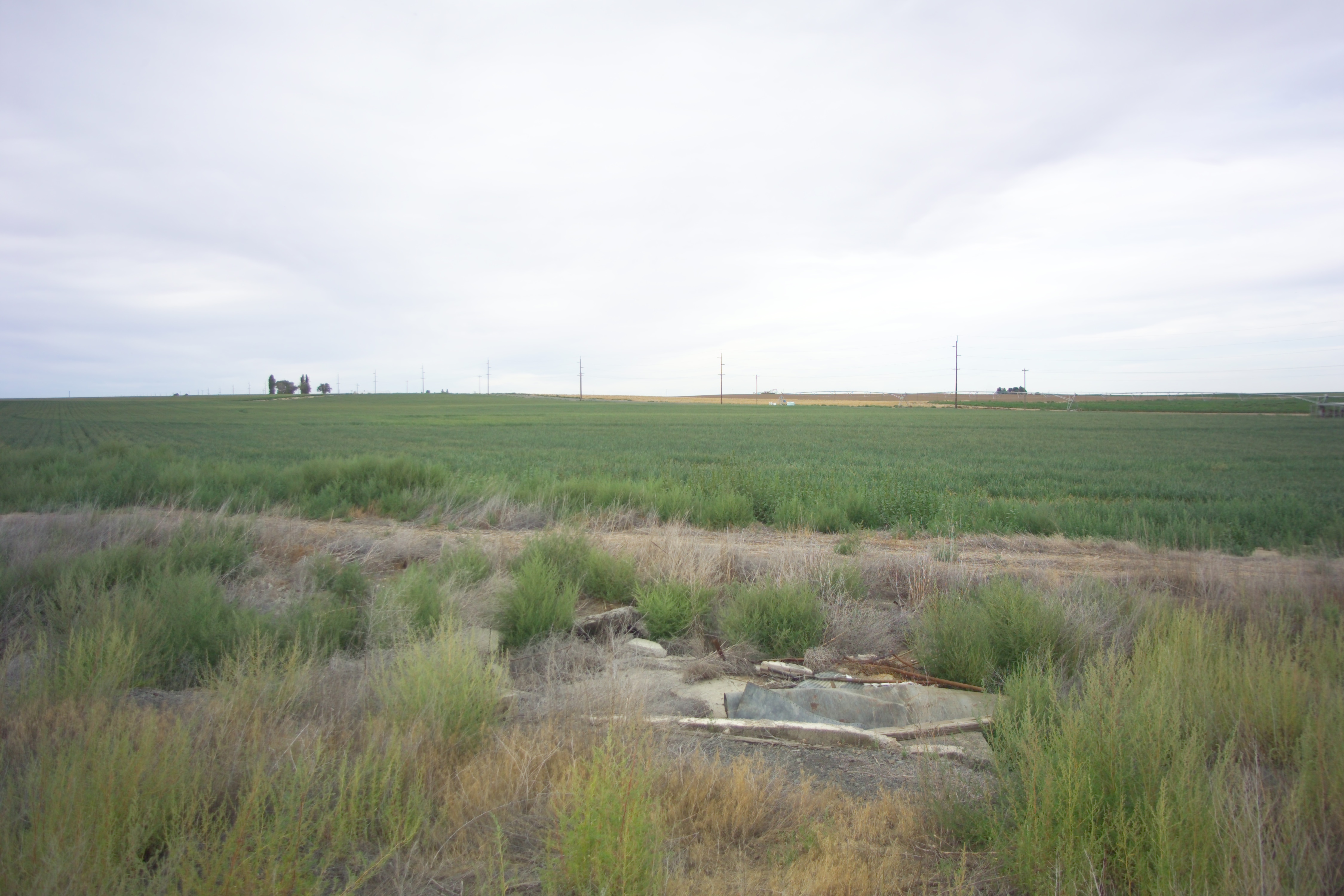
Related Photos:
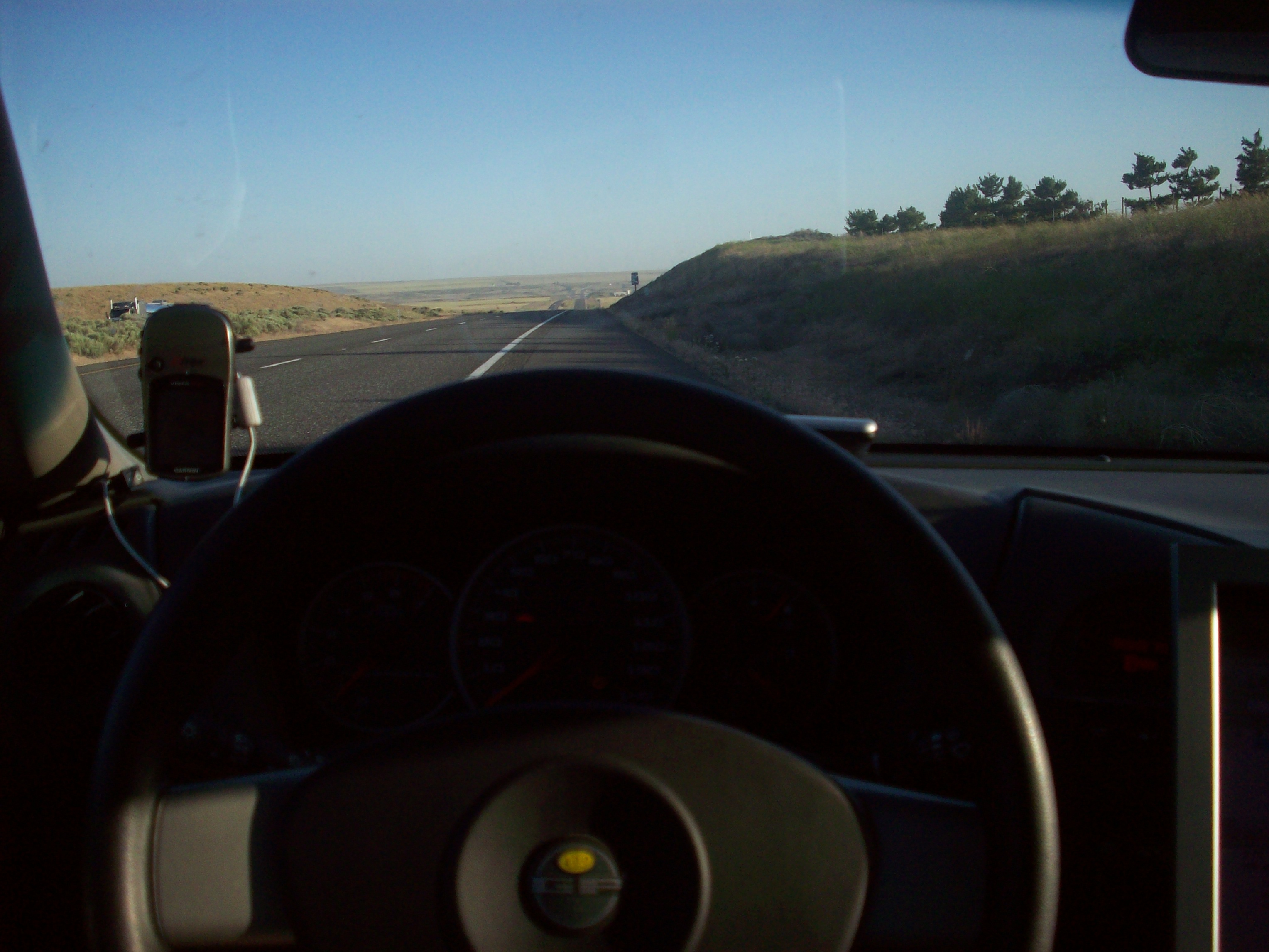
Gps and view

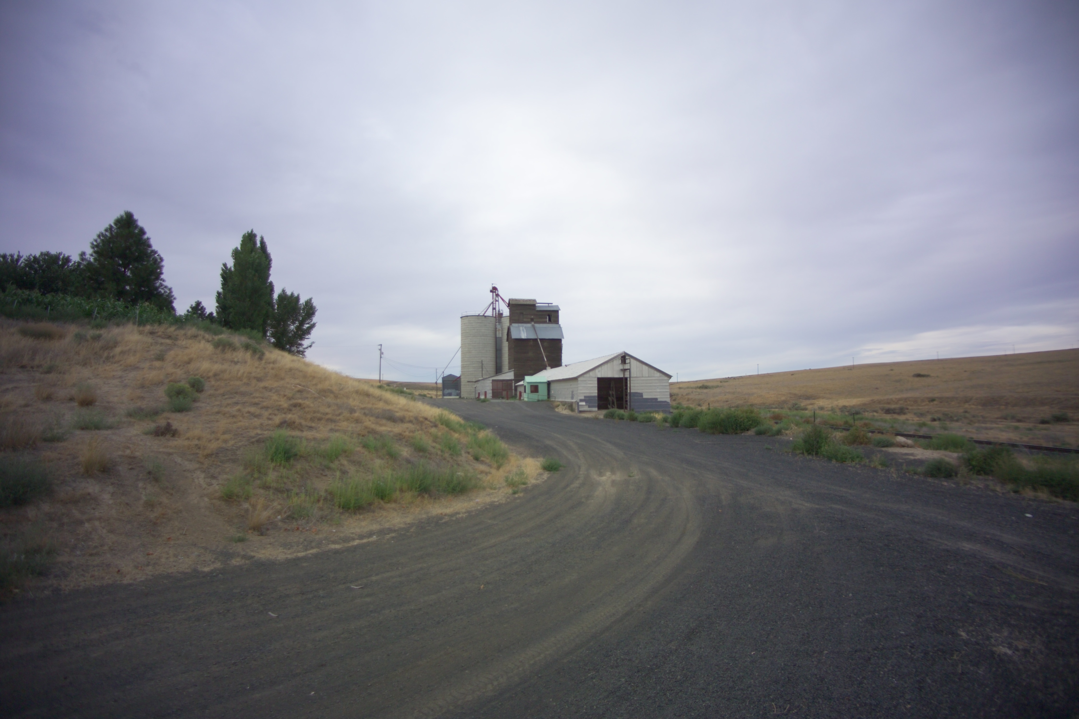
Tree Farm

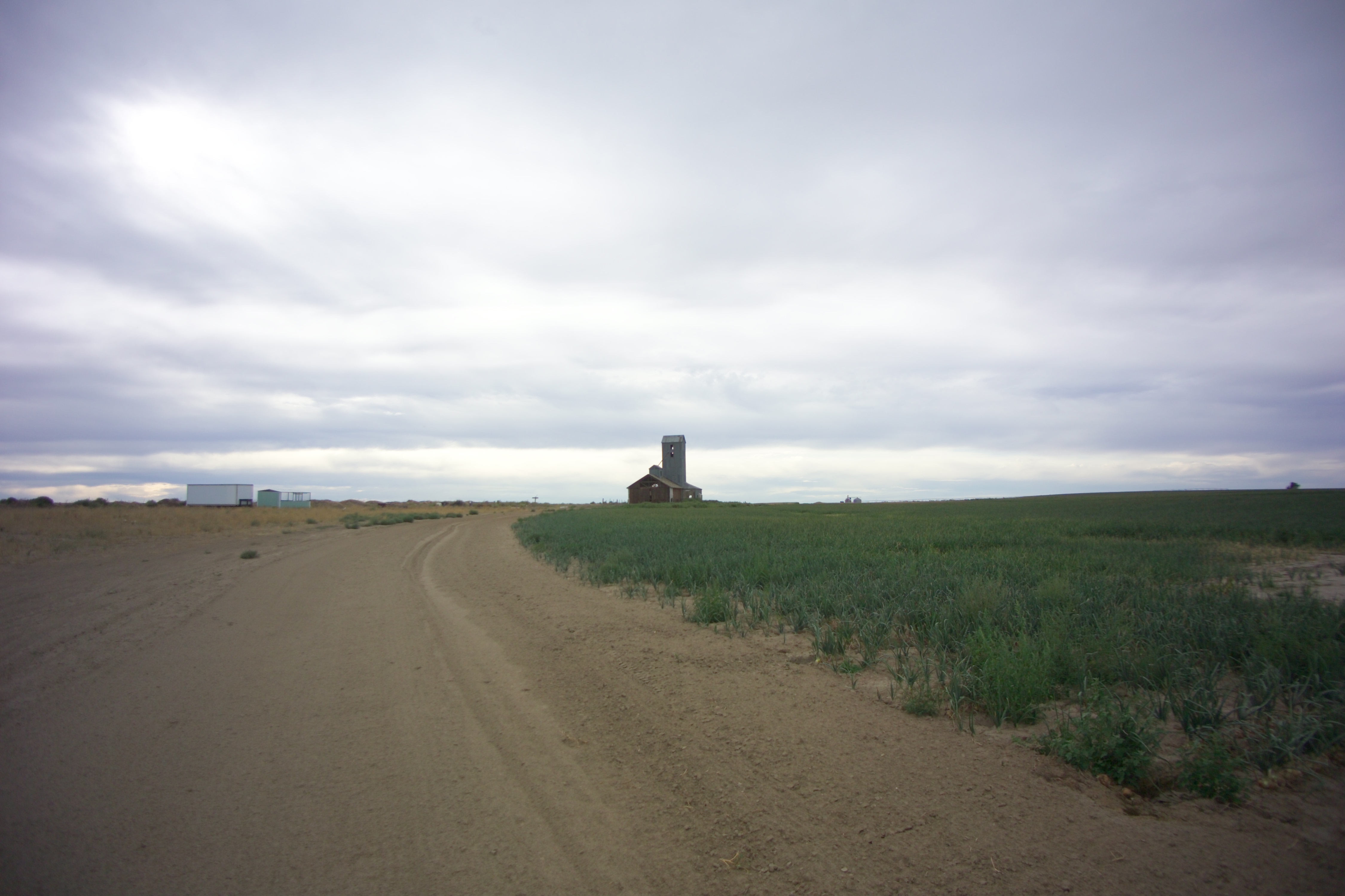
Drive Hard

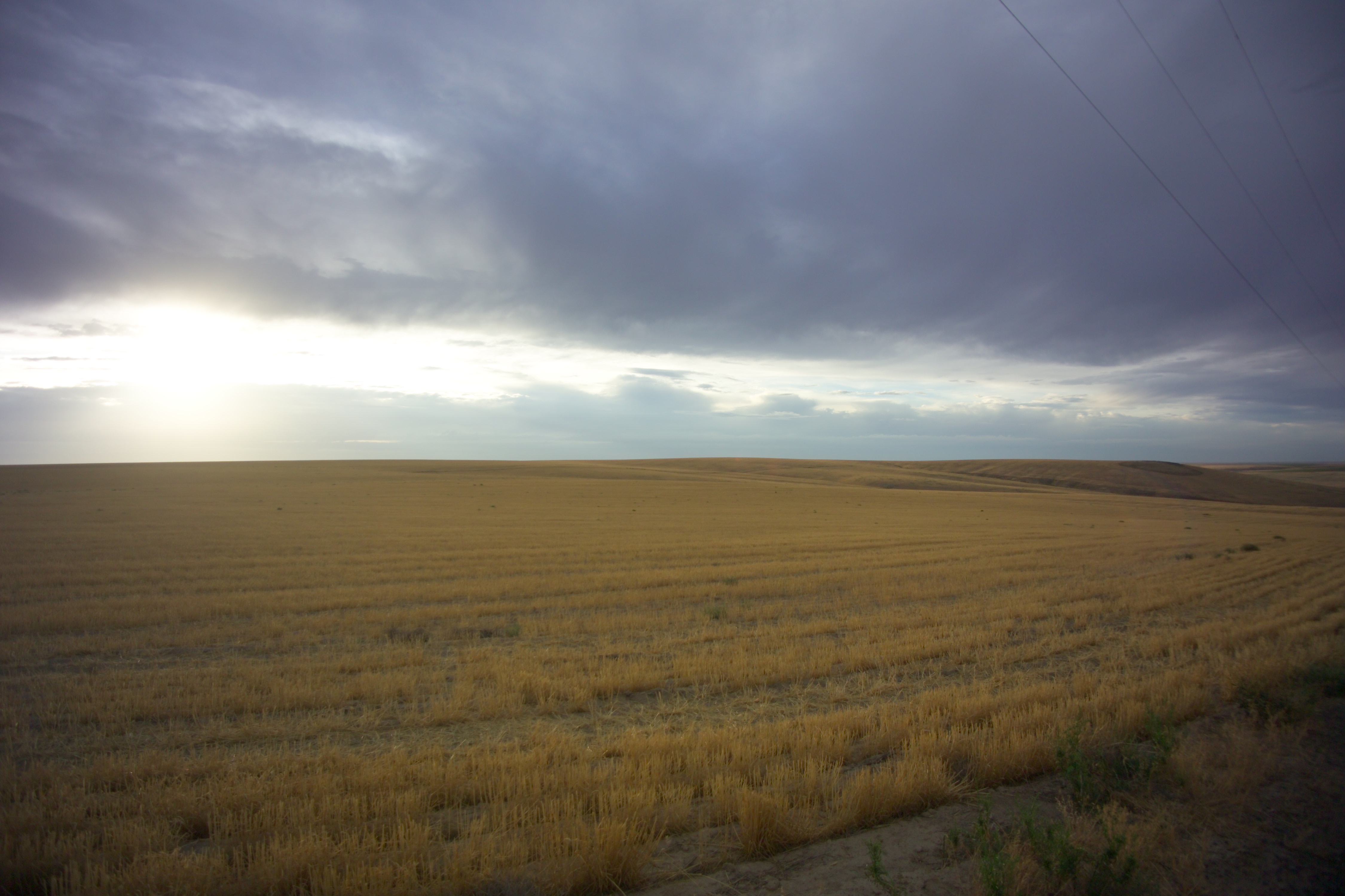
High Desert Morning
Near Servia, Washington
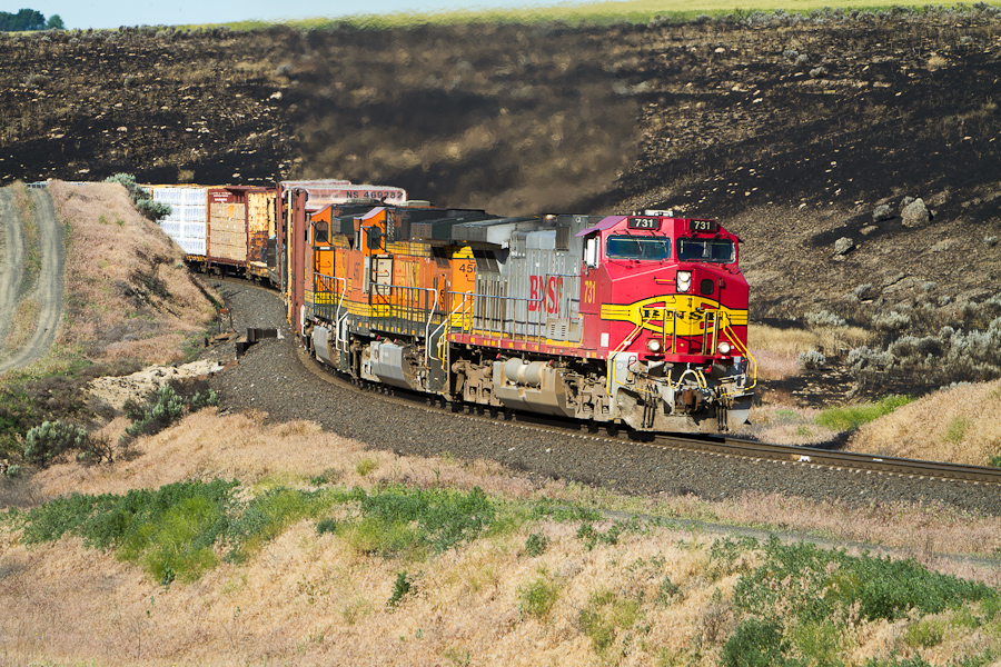
Normal Ops
Schlomer, Washington
Schlomer, Washington
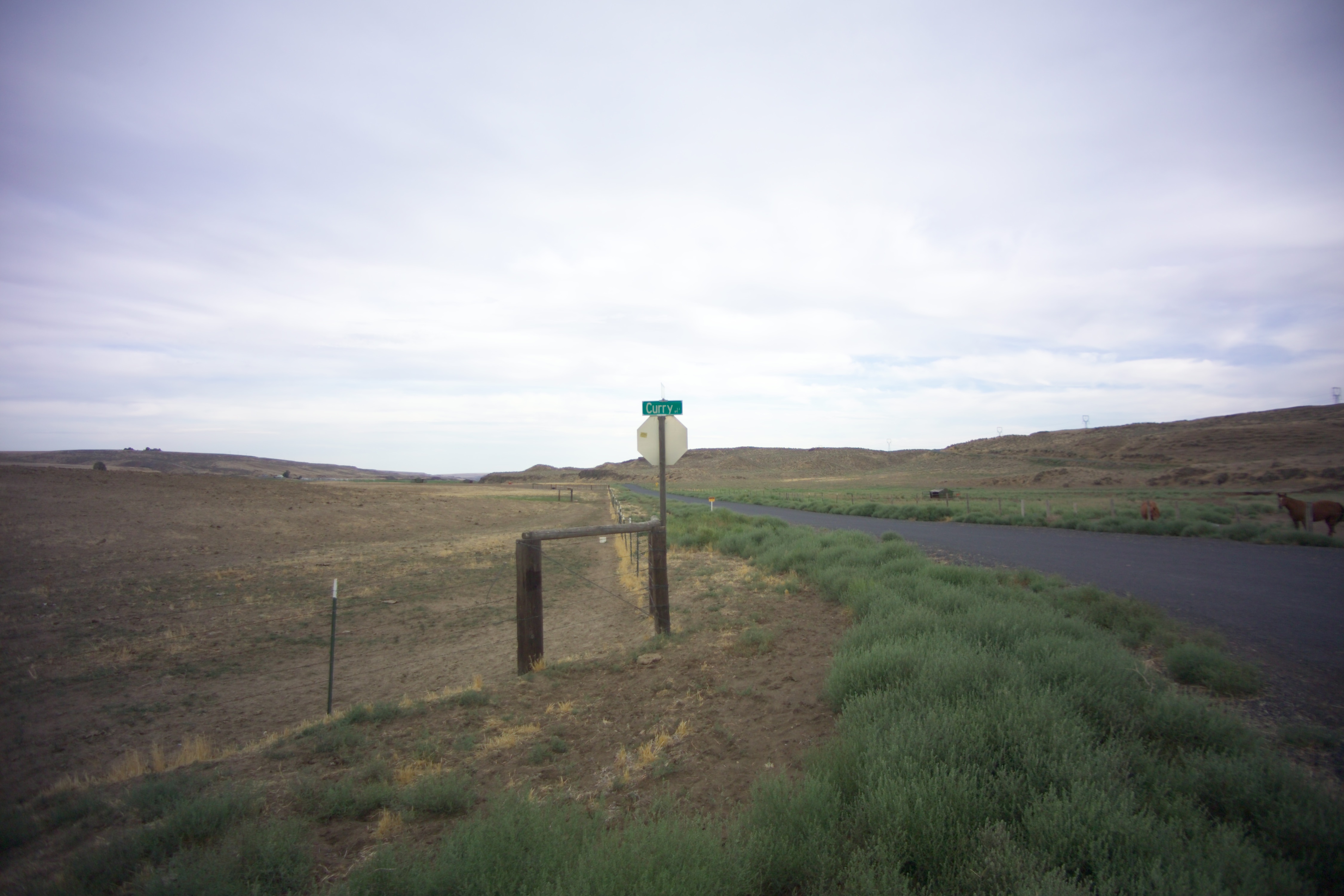
Curry, Washington
Schlomer, Washington
Hatton, Washington
Curry, Washington
Curry, Washington
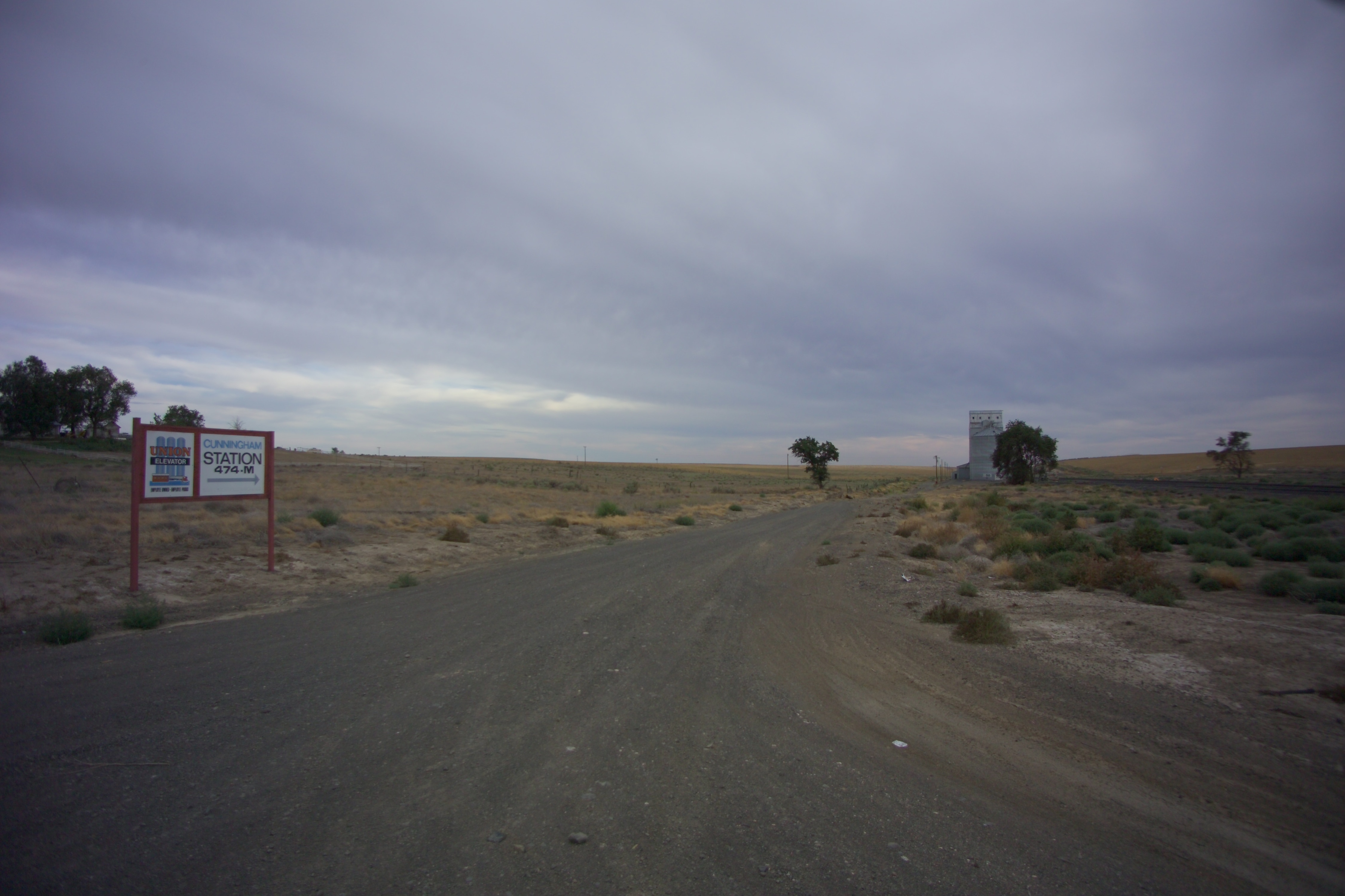
Cunningham, Washington
X-KALBND-04
Schlomer, Washington

2014-09-12 18;12;54

Near Schlomer, Washington
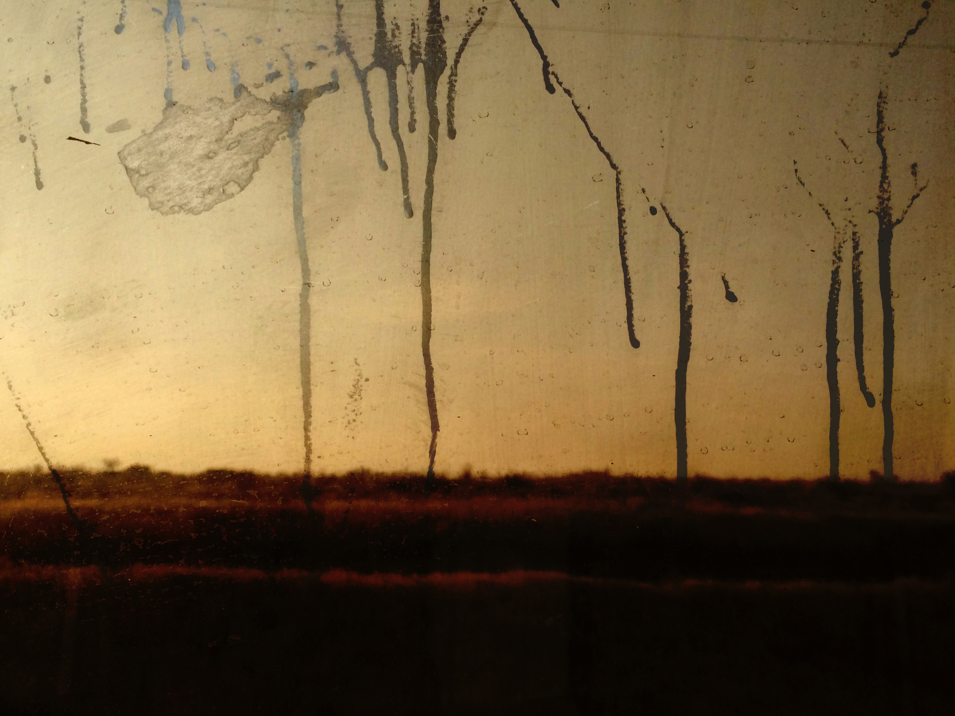
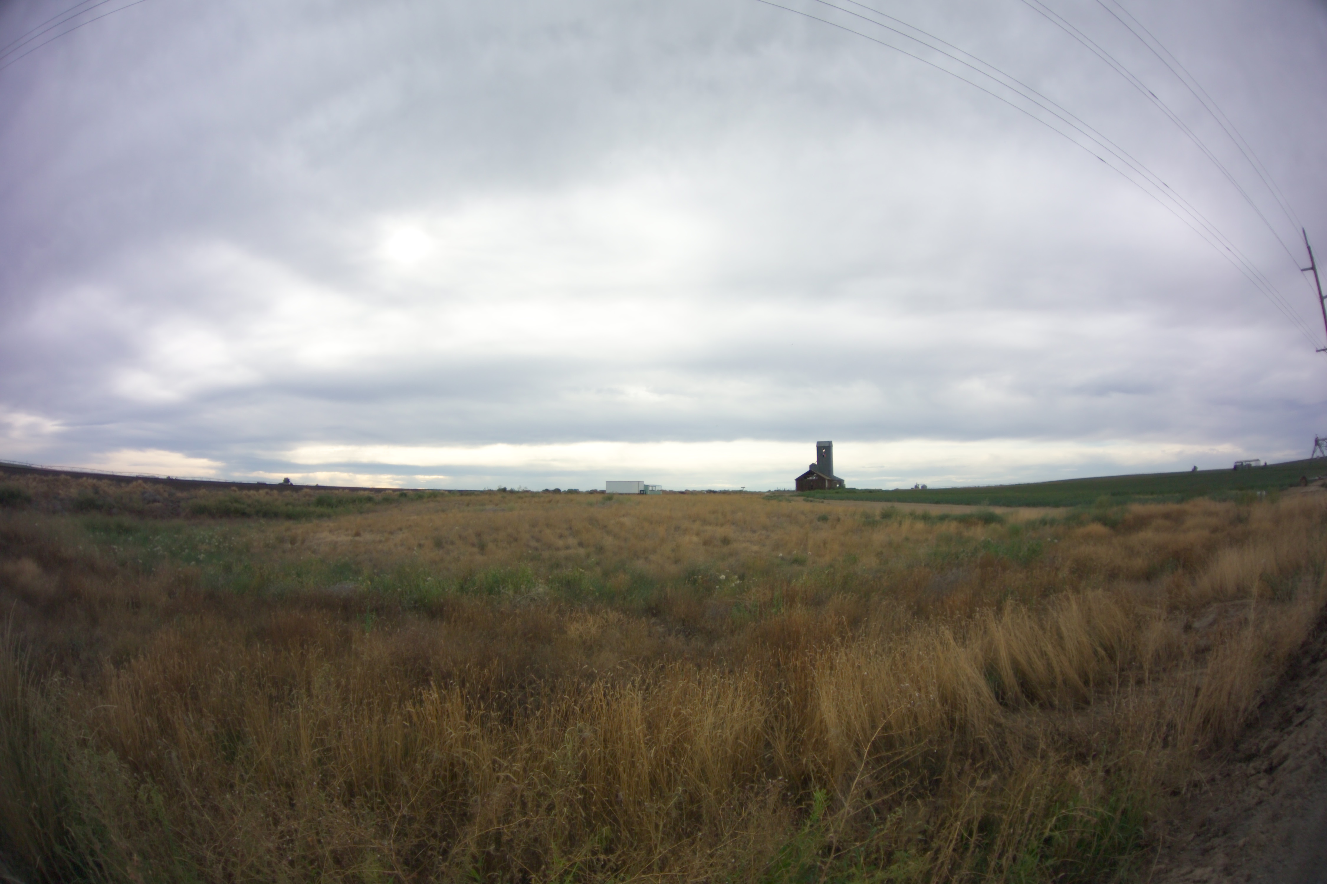
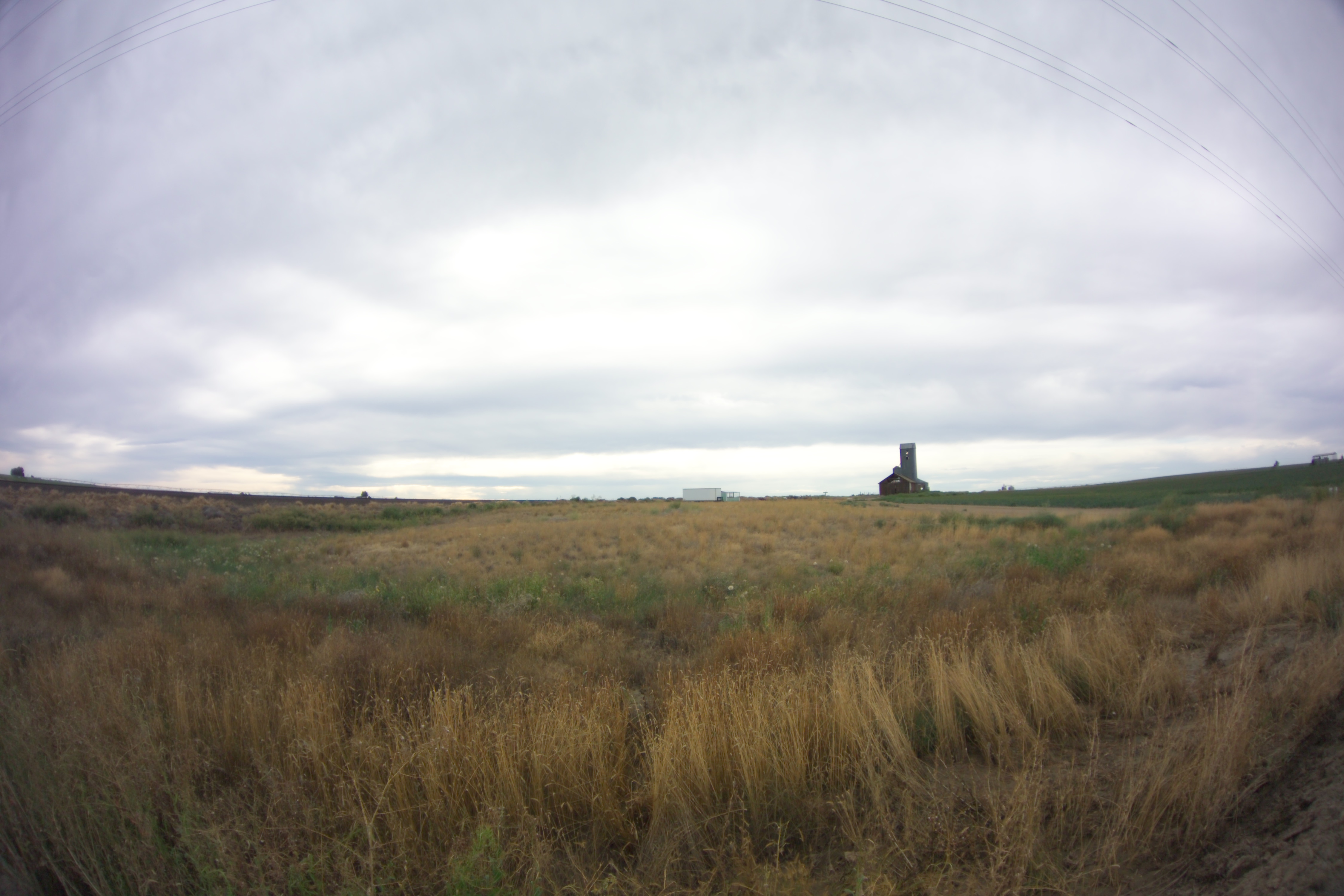
Bleak Horizons
Topographic Map of Hatton, WA, USA
Find elevation by address:

Places in Hatton, WA, USA:
Places near Hatton, WA, USA:
Bronson St, Hatton, WA, USA
South Roxboro Road
Columbia Rd, Mesa, WA, USA
Franklin County
Lind
Kahlotus
100 Burr Canyon Rd
Braeburn Pl NW, Soap Lake, WA, USA
31 Wallace Walker Rd, Pasco, WA, USA
Adams County
33 E Larch St, Othello, WA, USA
Othello
691 S Canal Rd
Eltopia
Simmons Rd, Prescott, WA, USA
5240 Eltopia West Rd
Rd 2 Ne & Rd O Ne
13558 N Frontage Rd
2nd St NE, Moses Lake, WA, USA
1720 Rd N Ne
Recent Searches:
- Elevation map of Greenland, Greenland
- Elevation of Sullivan Hill, New York, New York, 10002, USA
- Elevation of Morehead Road, Withrow Downs, Charlotte, Mecklenburg County, North Carolina, 28262, USA
- Elevation of 2800, Morehead Road, Withrow Downs, Charlotte, Mecklenburg County, North Carolina, 28262, USA
- Elevation of Yangbi Yi Autonomous County, Yunnan, China
- Elevation of Pingpo, Yangbi Yi Autonomous County, Yunnan, China
- Elevation of Mount Malong, Pingpo, Yangbi Yi Autonomous County, Yunnan, China
- Elevation map of Yongping County, Yunnan, China
- Elevation of North 8th Street, Palatka, Putnam County, Florida, 32177, USA
- Elevation of 107, Big Apple Road, East Palatka, Putnam County, Florida, 32131, USA
- Elevation of Jiezi, Chongzhou City, Sichuan, China
- Elevation of Chongzhou City, Sichuan, China
- Elevation of Huaiyuan, Chongzhou City, Sichuan, China
- Elevation of Qingxia, Chengdu, Sichuan, China
- Elevation of Corso Fratelli Cairoli, 35, Macerata MC, Italy
- Elevation of Tallevast Rd, Sarasota, FL, USA
- Elevation of 4th St E, Sonoma, CA, USA
- Elevation of Black Hollow Rd, Pennsdale, PA, USA
- Elevation of Oakland Ave, Williamsport, PA, USA
- Elevation of Pedrógão Grande, Portugal