Elevation map of Franklin County, WA, USA
Location: United States > Washington >
Longitude: -118.86723
Latitude: 46.4937363
Elevation: 307m / 1007feet
Barometric Pressure: 98KPa
Elevation Map:
Satellite Map:
Related Photos:
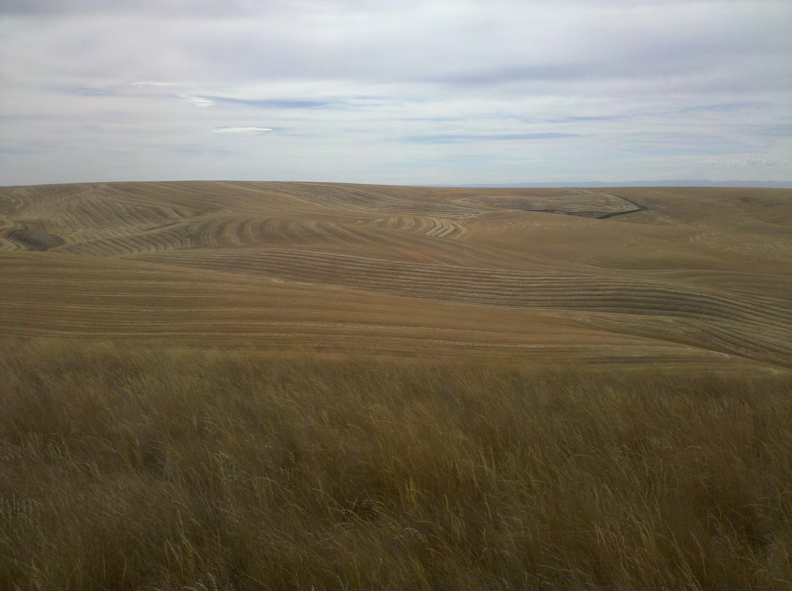
The view from Cell Phone Hill
view out

Rabbit & The All Seeing Eye

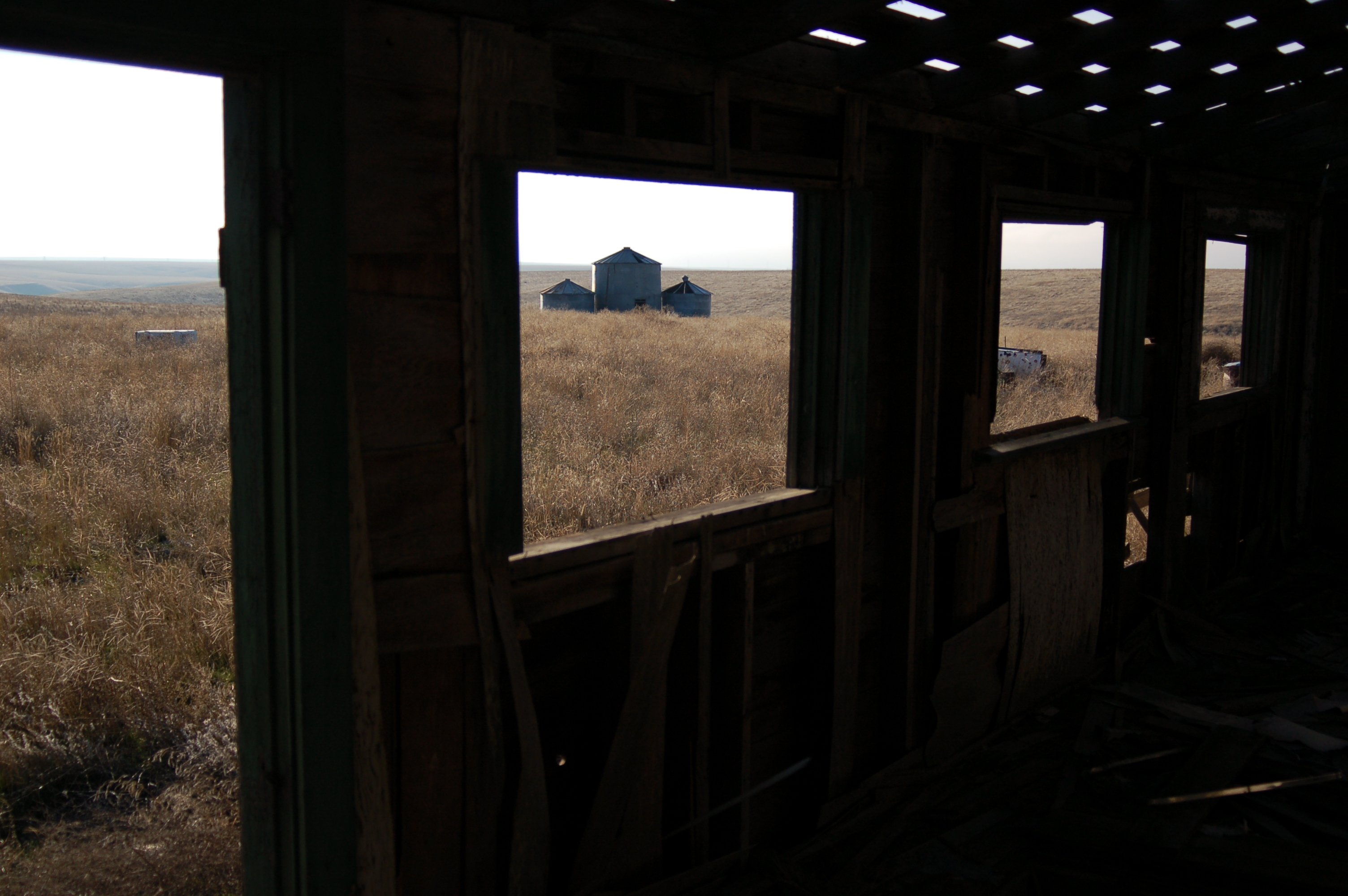
Cattle Ranch
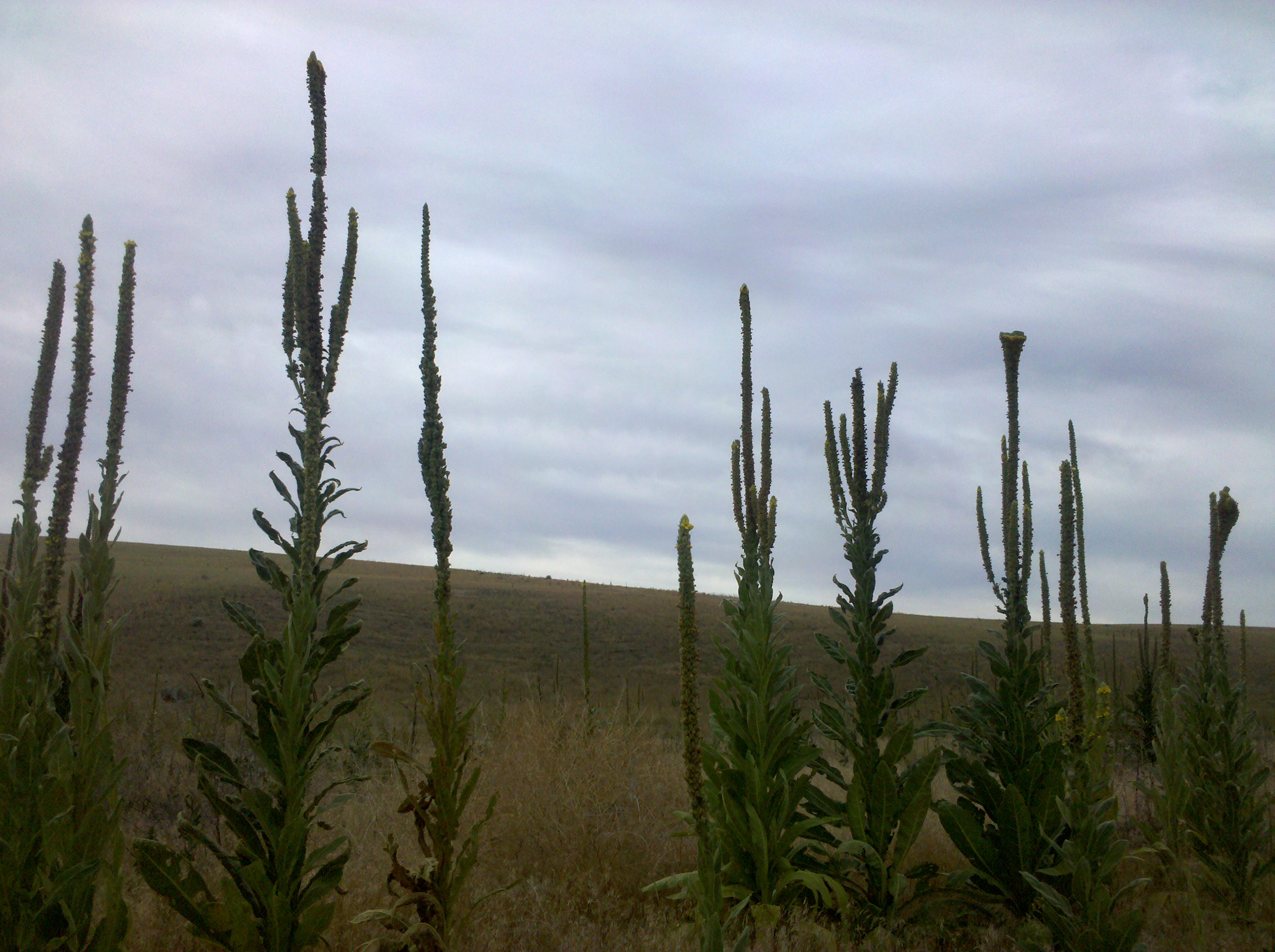
Still plenty of these guys around

"a 7,000 acre island of juniper and 100 foot sand dunes..."

Road Through The Desert
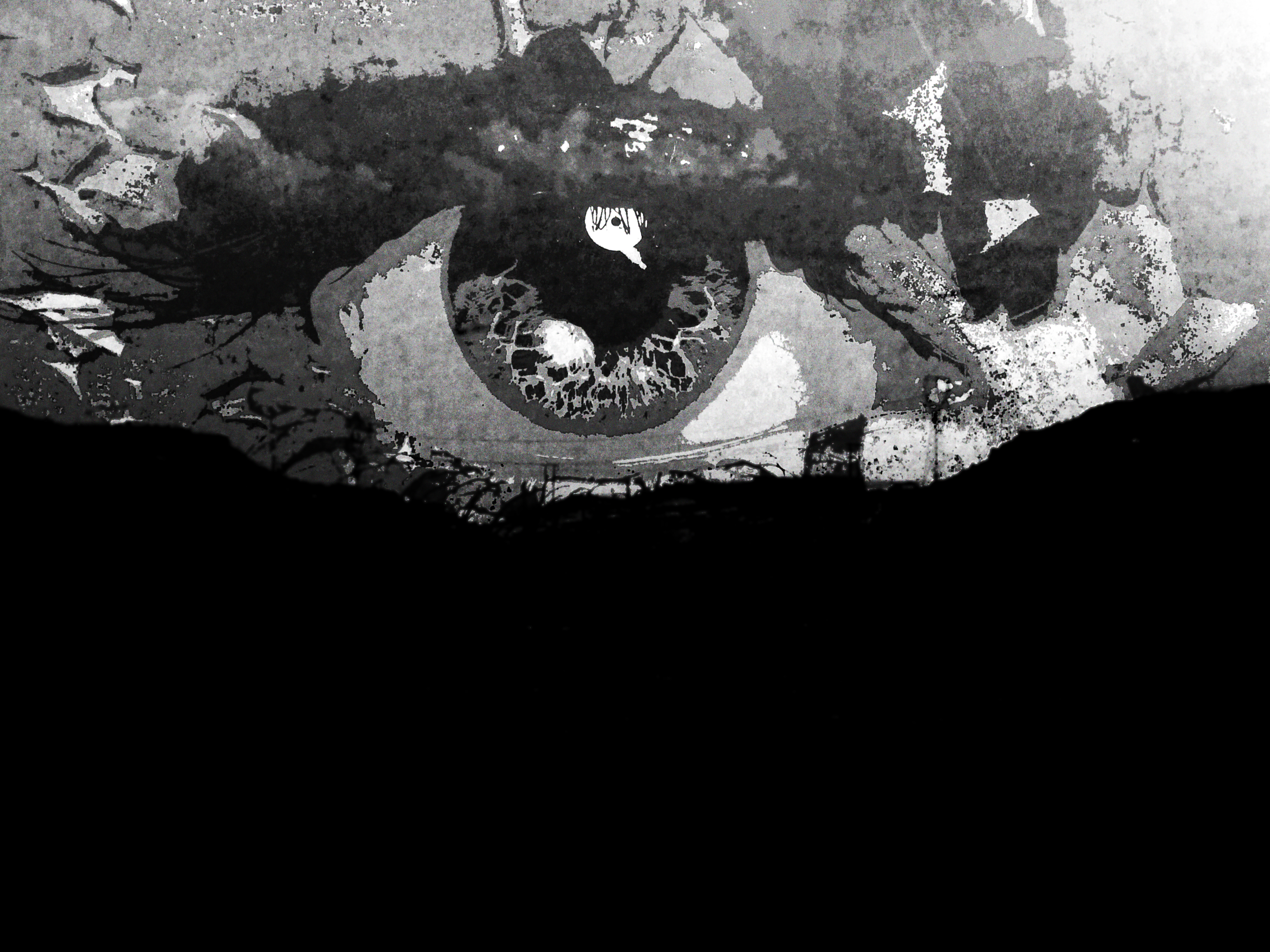
Eye on the Horizon
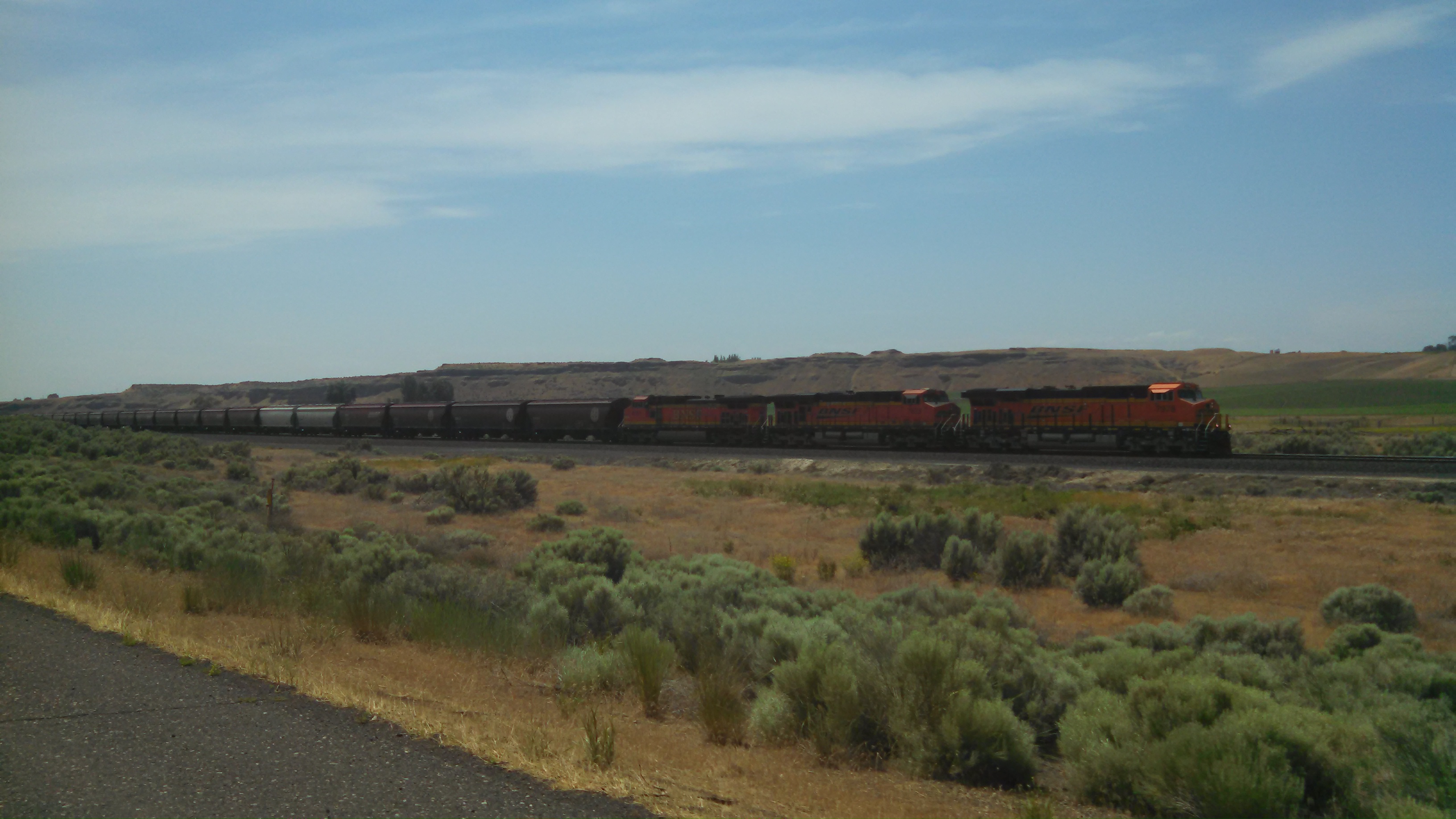
BNSF Grainger
Topographic Map of Franklin County, WA, USA
Find elevation by address:

Places in Franklin County, WA, USA:
Places near Franklin County, WA, USA:
Eltopia
Columbia Rd, Mesa, WA, USA
100 Burr Canyon Rd
5240 Eltopia West Rd
Simmons Rd, Prescott, WA, USA
South Roxboro Road
Hatton
Bronson St, Hatton, WA, USA
31 Wallace Walker Rd, Pasco, WA, USA
Kahlotus
N Power Plant Loop, Richland, WA, USA
33 E Larch St, Othello, WA, USA
Othello
691 S Canal Rd
Lyons Ferry Rd, Prescott, WA, USA
Braeburn Pl NW, Soap Lake, WA, USA
Lind
Adams County
Washtucna
Hanford Site
Recent Searches:
- Elevation of Corso Fratelli Cairoli, 35, Macerata MC, Italy
- Elevation of Tallevast Rd, Sarasota, FL, USA
- Elevation of 4th St E, Sonoma, CA, USA
- Elevation of Black Hollow Rd, Pennsdale, PA, USA
- Elevation of Oakland Ave, Williamsport, PA, USA
- Elevation of Pedrógão Grande, Portugal
- Elevation of Klee Dr, Martinsburg, WV, USA
- Elevation of Via Roma, Pieranica CR, Italy
- Elevation of Tavkvetili Mountain, Georgia
- Elevation of Hartfords Bluff Cir, Mt Pleasant, SC, USA