Elevation of N Power Plant Loop, Richland, WA, USA
Location: United States > Washington > Benton County >
Longitude: -119.31611
Latitude: 46.464065
Elevation: 136m / 446feet
Barometric Pressure: 100KPa
Elevation Map:
Satellite Map:
Related Photos:

Horn Rapids

365-project-day-37
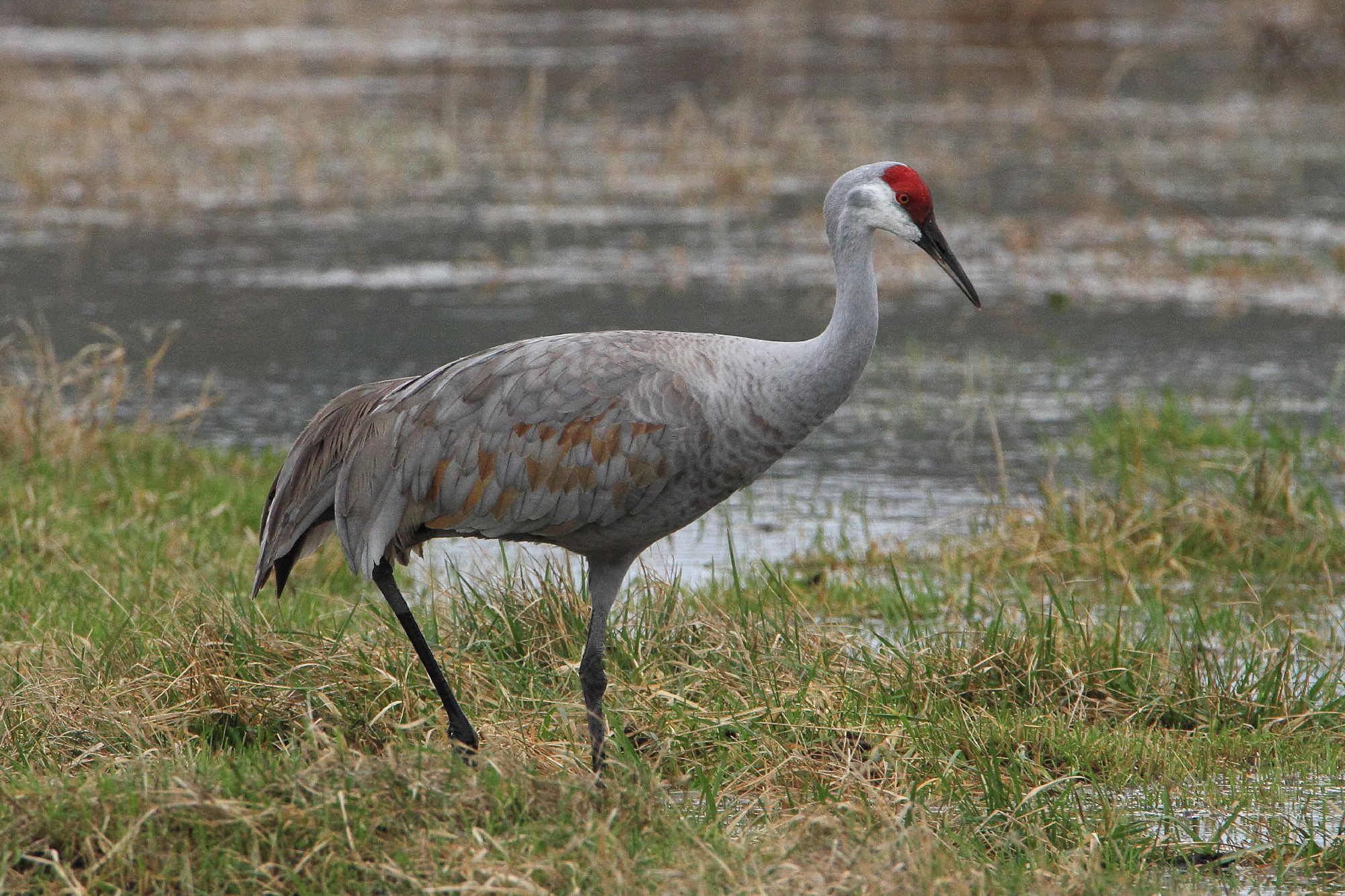
Sandhill crane, Grus canadensis
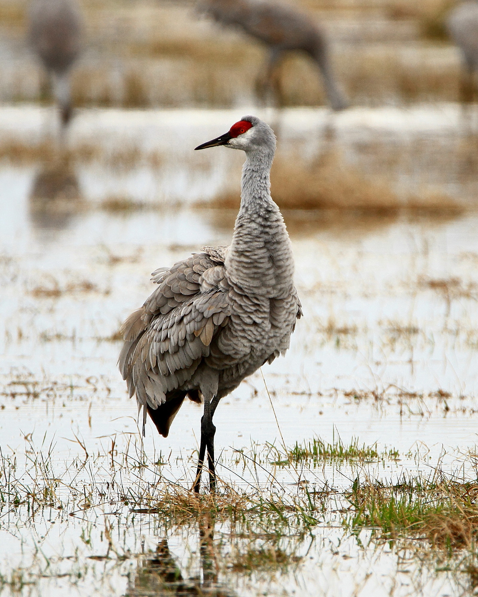
Fluffed up sandhill crane, Grus canadensis

Hanford Walk

Stopping For A Hike

Sandhill crane, Grus canadensis

EMSL exterior view -- winter 2008

Filled the view finder!

Columbia River - Washington

Nick Risinger's Night Sky photo on PNNL's MURAL display

View from top of training tower

View from top of training tower

View from the apartment
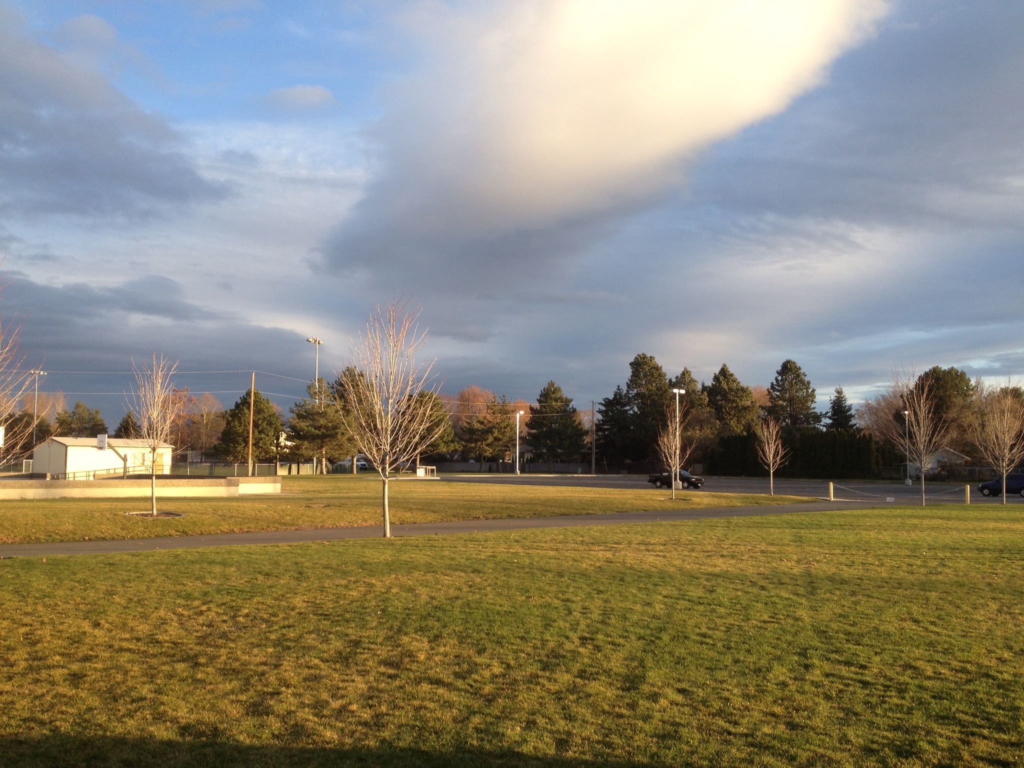
Friday after school
Richland, Washington

Blackbird. _H041555
on stage. _H342263 (2)
2011-02-09_13-43-50_26
Sunset over Rattlesnake Mountain.

The cows are waiting to get me! :o

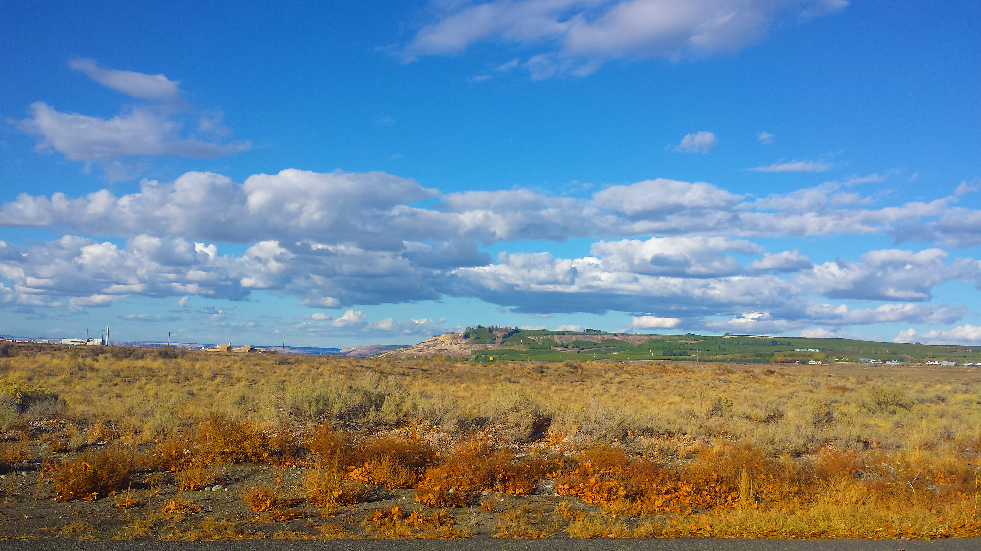
Washington Farmland

Desert sunset with nuclear plant

Battelle Auditorium cooling ponds.

Picture 085
Slowing the Water Down

Part of the Hanford complex

Bromus tectorum near the Hanford Nuclear Reservation

img_0911.jpg

Fishing @ the Columbia River

Bromus tectorum near the Hanford Nuclear Reservation

Farmland and such
Topographic Map of N Power Plant Loop, Richland, WA, USA
Find elevation by address:

Places near N Power Plant Loop, Richland, WA, USA:
Hanford Site
5240 Eltopia West Rd
Eltopia
691 S Canal Rd
33 E Larch St, Othello, WA, USA
Othello
Franklin County
Columbia Rd, Mesa, WA, USA
Crab Creek
South Roxboro Road
Braeburn Pl NW, Soap Lake, WA, USA
Bronson St, Hatton, WA, USA
Hatton
3211 W Wapato Dr
Prichard Rd, Moses Lake, WA, USA
12976 N Frontage Rd
13558 N Frontage Rd
100 Burr Canyon Rd
1600 S Beaumont Dr
1720 Rd N Ne
Recent Searches:
- Elevation of Corso Fratelli Cairoli, 35, Macerata MC, Italy
- Elevation of Tallevast Rd, Sarasota, FL, USA
- Elevation of 4th St E, Sonoma, CA, USA
- Elevation of Black Hollow Rd, Pennsdale, PA, USA
- Elevation of Oakland Ave, Williamsport, PA, USA
- Elevation of Pedrógão Grande, Portugal
- Elevation of Klee Dr, Martinsburg, WV, USA
- Elevation of Via Roma, Pieranica CR, Italy
- Elevation of Tavkvetili Mountain, Georgia
- Elevation of Hartfords Bluff Cir, Mt Pleasant, SC, USA