Elevation of Monona, IA, USA
Location: United States > Iowa > Clayton County >
Longitude: -91.4241426
Latitude: 43.0300894
Elevation: 336m / 1102feet
Barometric Pressure: 0KPa
Related Photos:

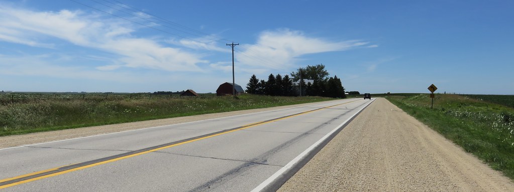
SOO 6062 - Monona IA

HFF Numerous types

facing south east
KCS 4034 West
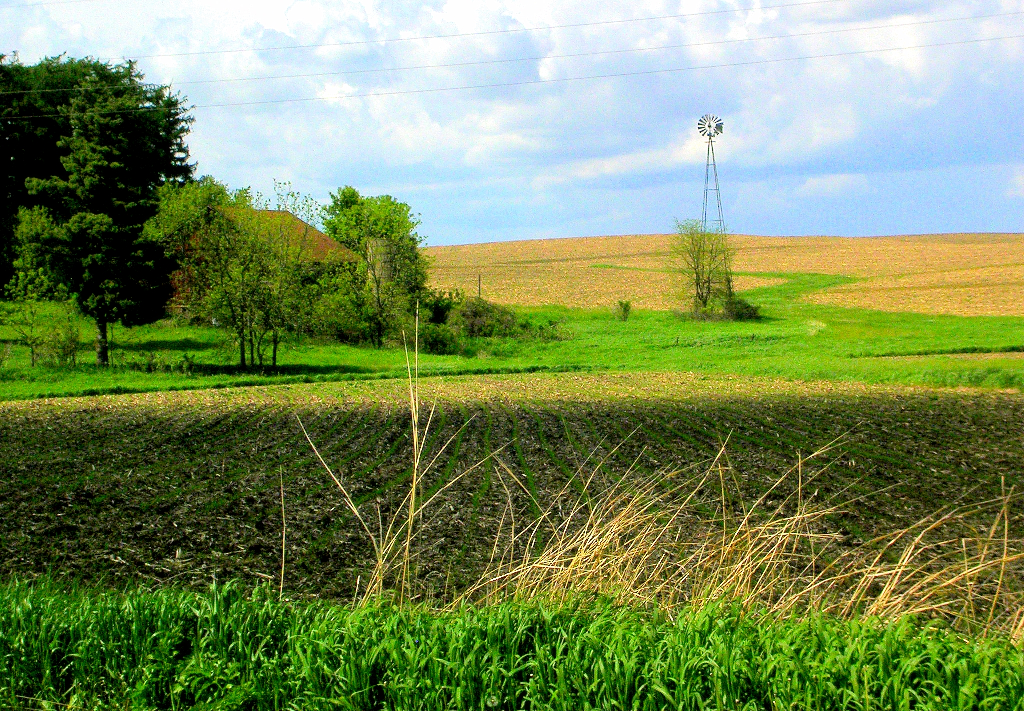
Spring Planting & Windmill
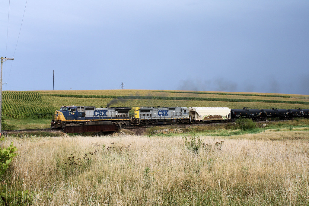
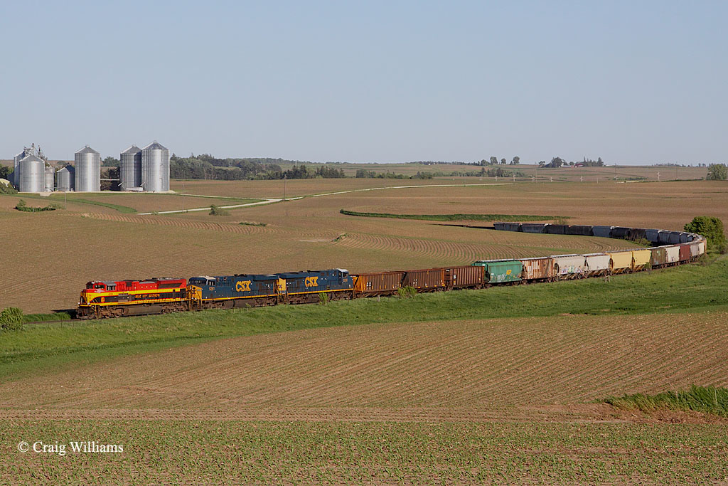
CSX #7716 Heads Westbound Thru the Cornfields of NE Iowa

Starting Off Good
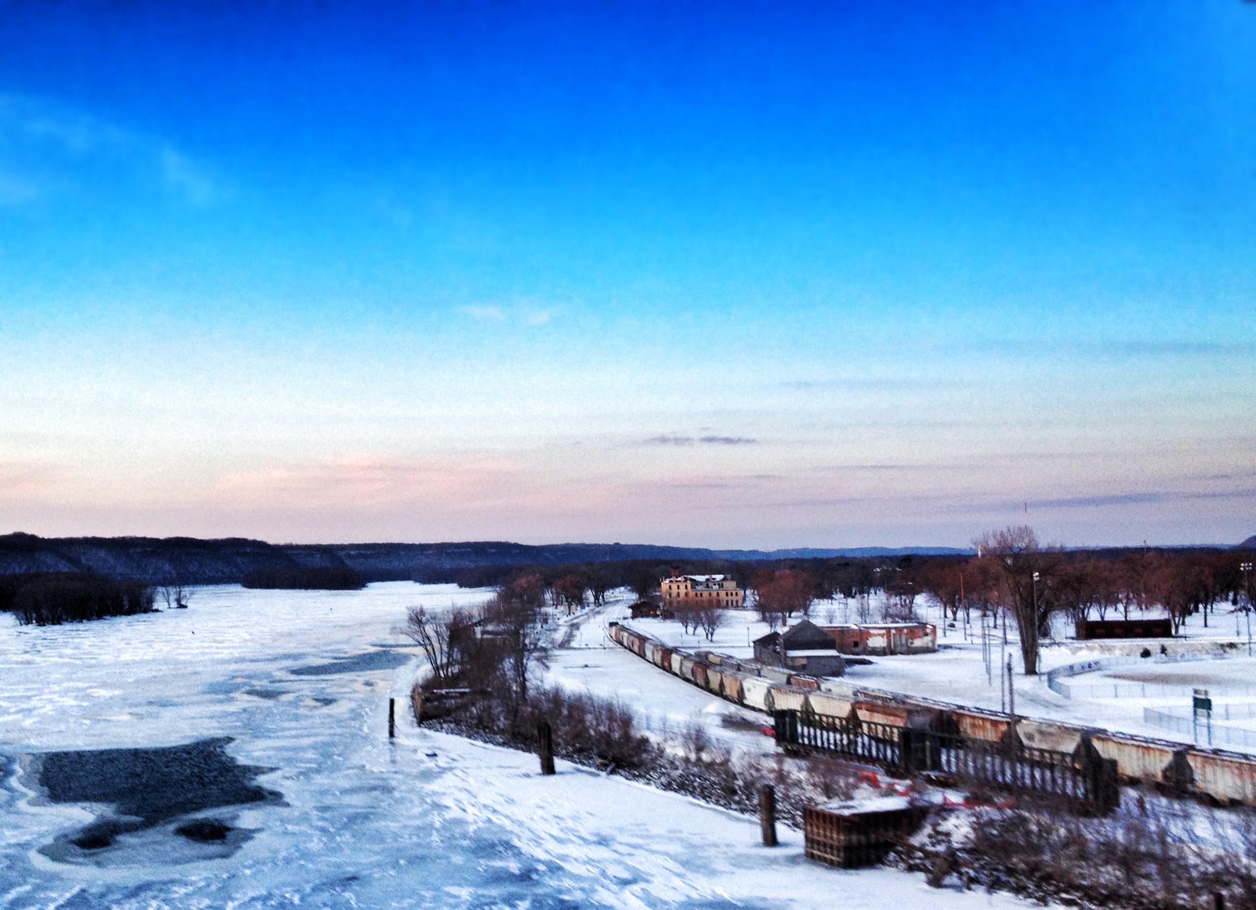
Crossing the Mississippi River at Prairie du Chien

Looking across the field...

The Toddmobile

alfalfa field
Northeastern Iowa Landscape (Clayton County, Iowa)
Topographic Map of Monona, IA, USA
Find elevation by address:

Places in Monona, IA, USA:
Places near Monona, IA, USA:
Broadview Ave, Luana, IA, USA
Luana
Postville
S Lawler St, Postville, IA, USA
Boardman
Post
807 N Main St
600 Livingood Springs Rd
Allamakee County
Center St, Elgin, IA, USA
Elgin
Elgin
Elgin
th Ave, Castalia, IA, USA
Waukon
15 Allamakee St NW, Waukon, IA, USA
Pleasant Valley
Pleasant Valley
Frankville Rd, Postville, IA, USA
W Greene St, Castalia, IA, USA
Recent Searches:
- Elevation of 8, Rue de Bécancour, Blainville, Thérèse-De Blainville, Quebec, J7B1N2, Canada
- Elevation of Wilmot Court North, 163, University Avenue West, Northdale, Waterloo, Region of Waterloo, Ontario, N2L6B6, Canada
- Elevation map of Panamá Province, Panama
- Elevation of Balboa, Panamá Province, Panama
- Elevation of San Miguel, Balboa, Panamá Province, Panama
- Elevation of Isla Gibraleón, San Miguel, Balboa, Panamá Province, Panama
- Elevation of 4655, Krischke Road, Schulenburg, Fayette County, Texas, 78956, USA
- Elevation of Carnegie Avenue, Downtown Cleveland, Cleveland, Cuyahoga County, Ohio, 44115, USA
- Elevation of Walhonding, Coshocton County, Ohio, USA
- Elevation of Clifton Down, Clifton, Bristol, City of Bristol, England, BS8 3HU, United Kingdom
- Elevation map of Auvergne-Rhône-Alpes, France
- Elevation map of Upper Savoy, Auvergne-Rhône-Alpes, France
- Elevation of Chamonix-Mont-Blanc, Upper Savoy, Auvergne-Rhône-Alpes, France
- Elevation of 908, Northwood Drive, Bridge Field, Chesapeake, Virginia, 23322, USA
- Elevation map of Nagano Prefecture, Japan
- Elevation of 587, Bascule Drive, Oakdale, Stanislaus County, California, 95361, USA
- Elevation of Stadion Wankdorf, Sempachstrasse, Breitfeld, Bern, Bern-Mittelland administrative district, Bern, 3014, Switzerland
- Elevation of Z024, 76, Emil-von-Behring-Straße, Marbach, Marburg, Landkreis Marburg-Biedenkopf, Hesse, 35041, Germany
- Elevation of Gaskill Road, Hunts Cross, Liverpool, England, L24 9PH, United Kingdom
- Elevation of Speke, Liverpool, England, L24 9HD, United Kingdom