Elevation of 15 Allamakee St NW, Waukon, IA, USA
Location: United States > Iowa > Allamakee County > Makee > Waukon >
Longitude: -91.4752843
Latitude: 43.2697407
Elevation: 378m / 1240feet
Barometric Pressure: 0KPa
Related Photos:
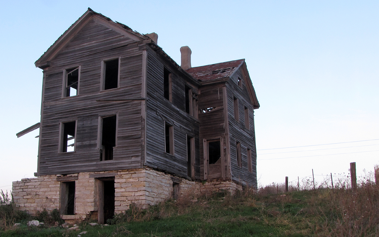
The House on the Hill

Iowa, Winneshiek County- Frankville, Frankville Stone School (858-2)
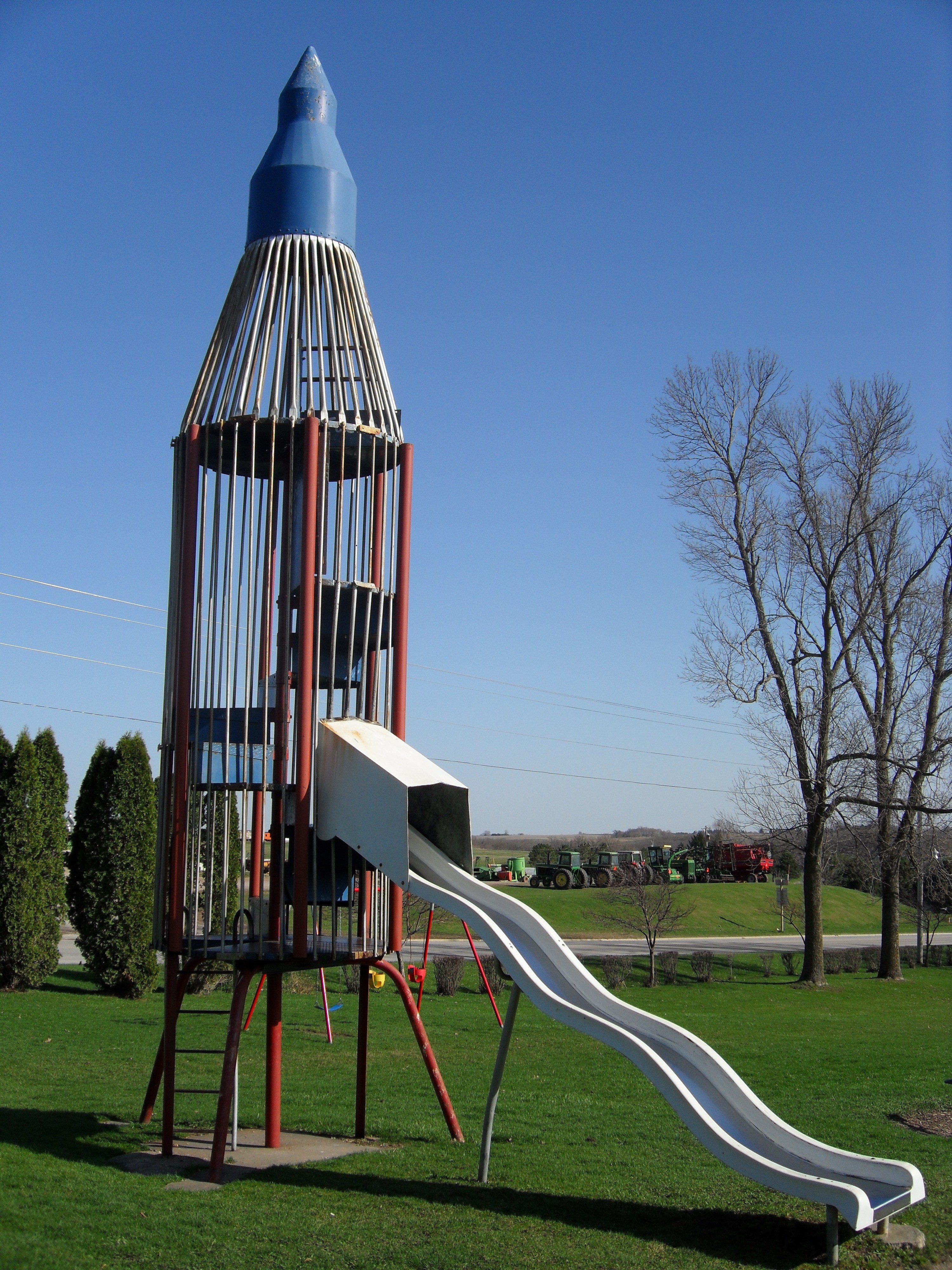
Rocket Slide
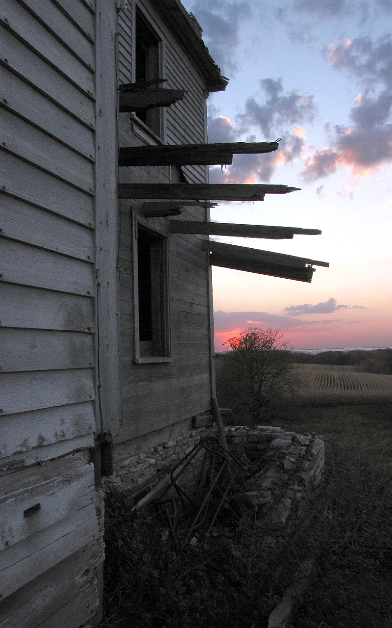
The House on the Hill

American kestrel rear view near Rossville IA 854A3379
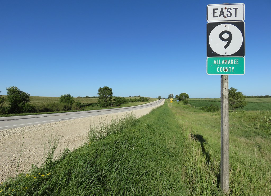
Entering Allamakee County (Allamakee County, Iowa)
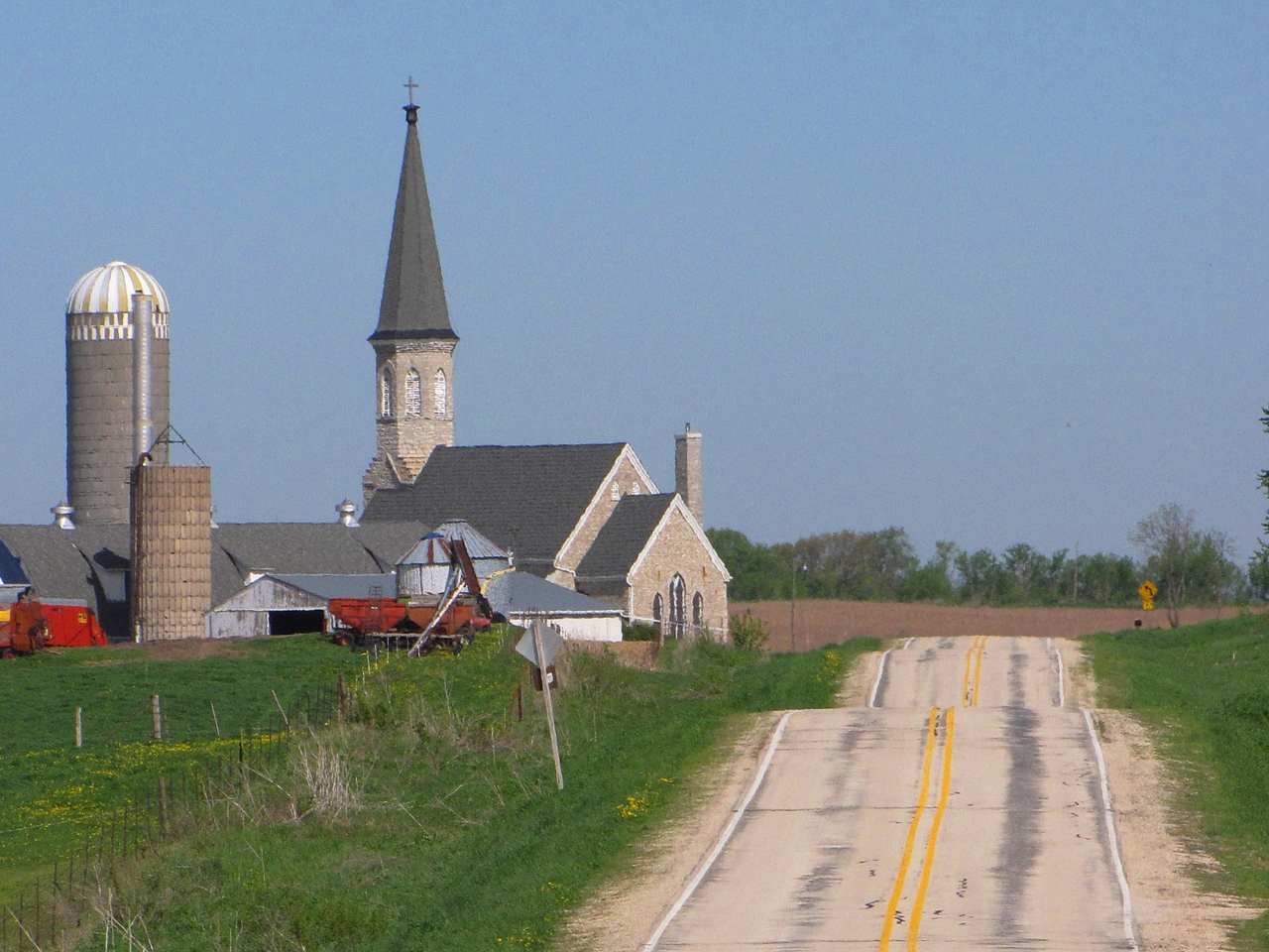
Steeples and Silos

chipping sparrow at Waukon City Park IA 854A7196
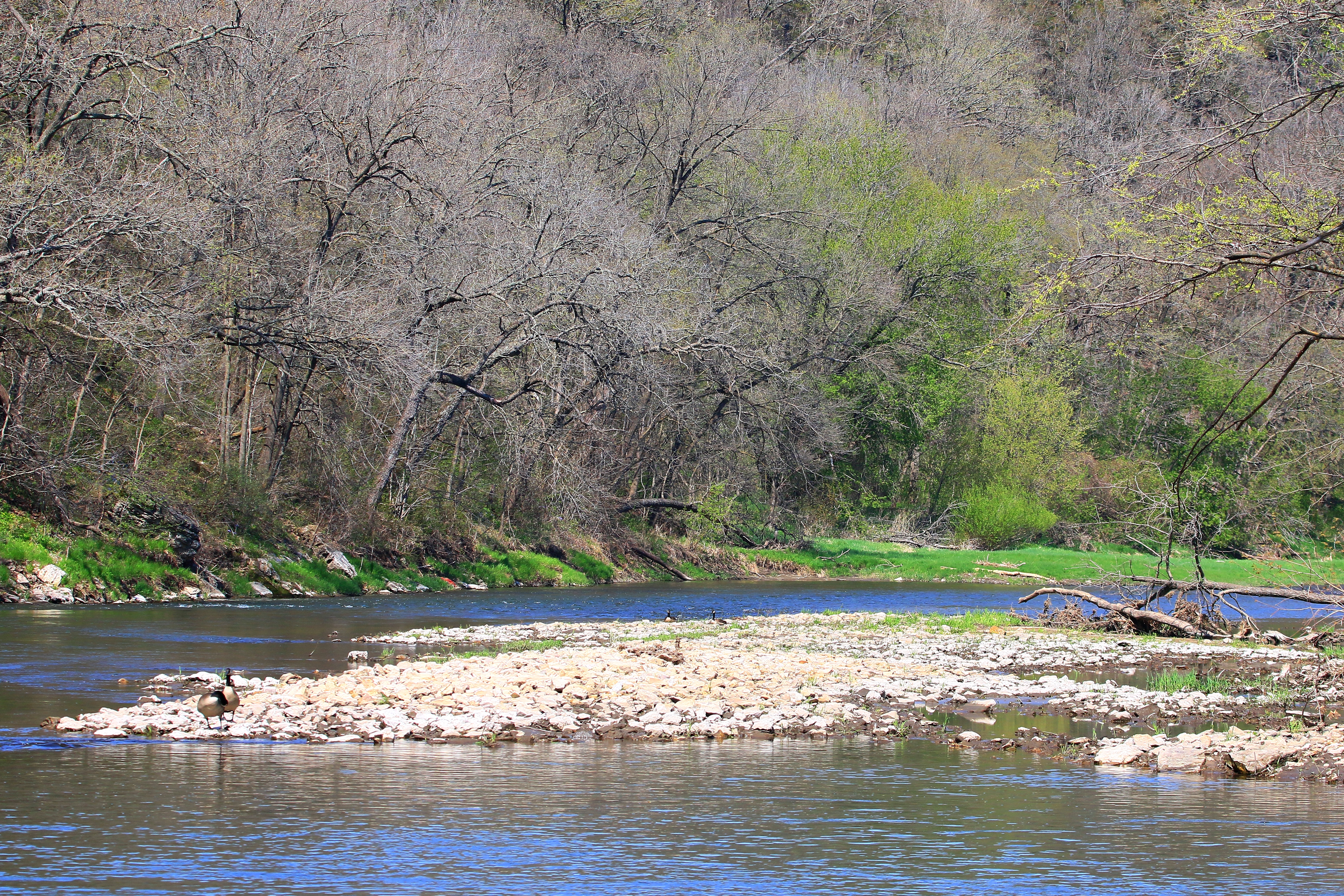
Upper Iowa River near Decorah IA 854A1371
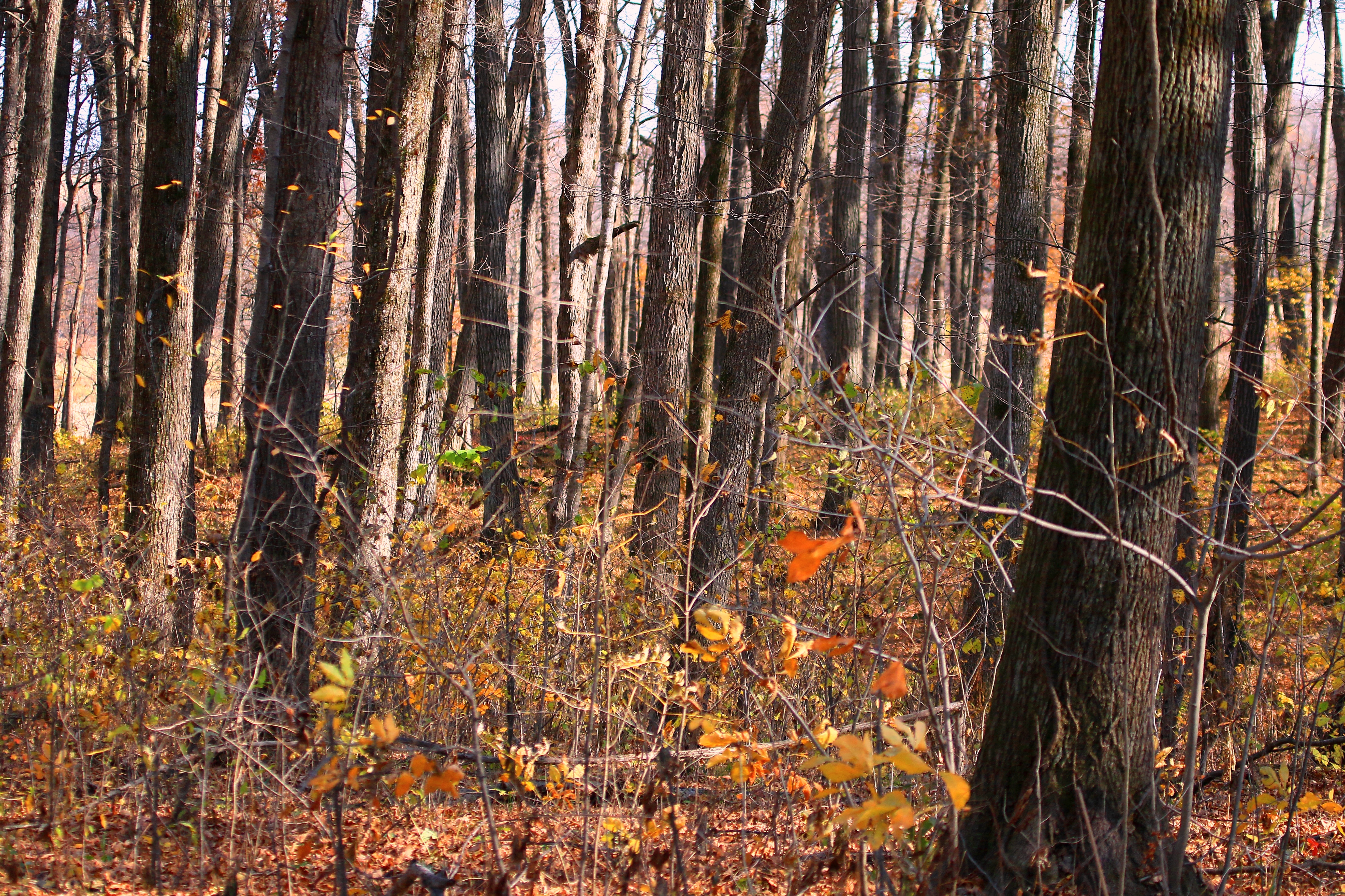
sugar maple tree trunks in Marilie Forest IA 854A4063
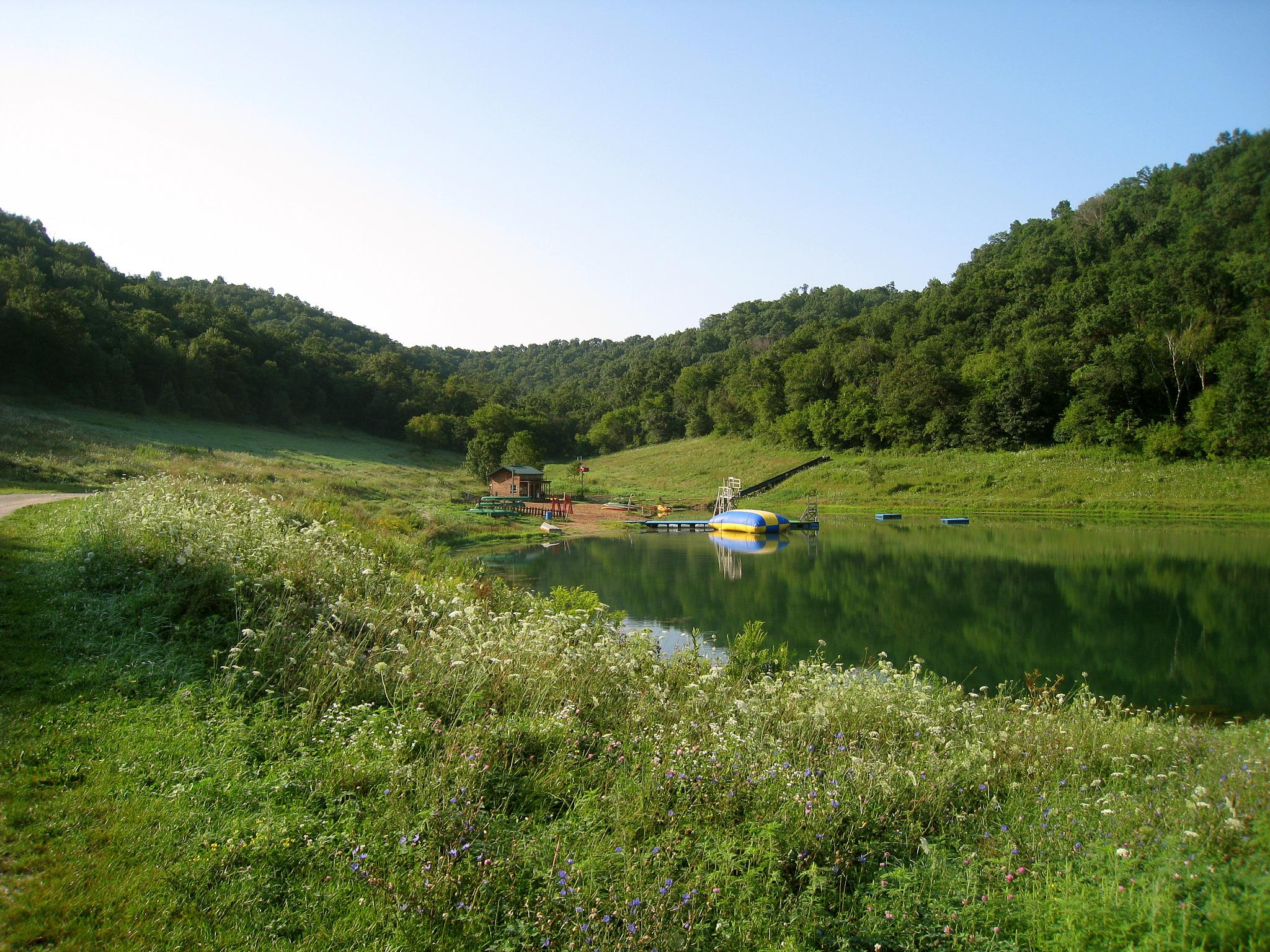
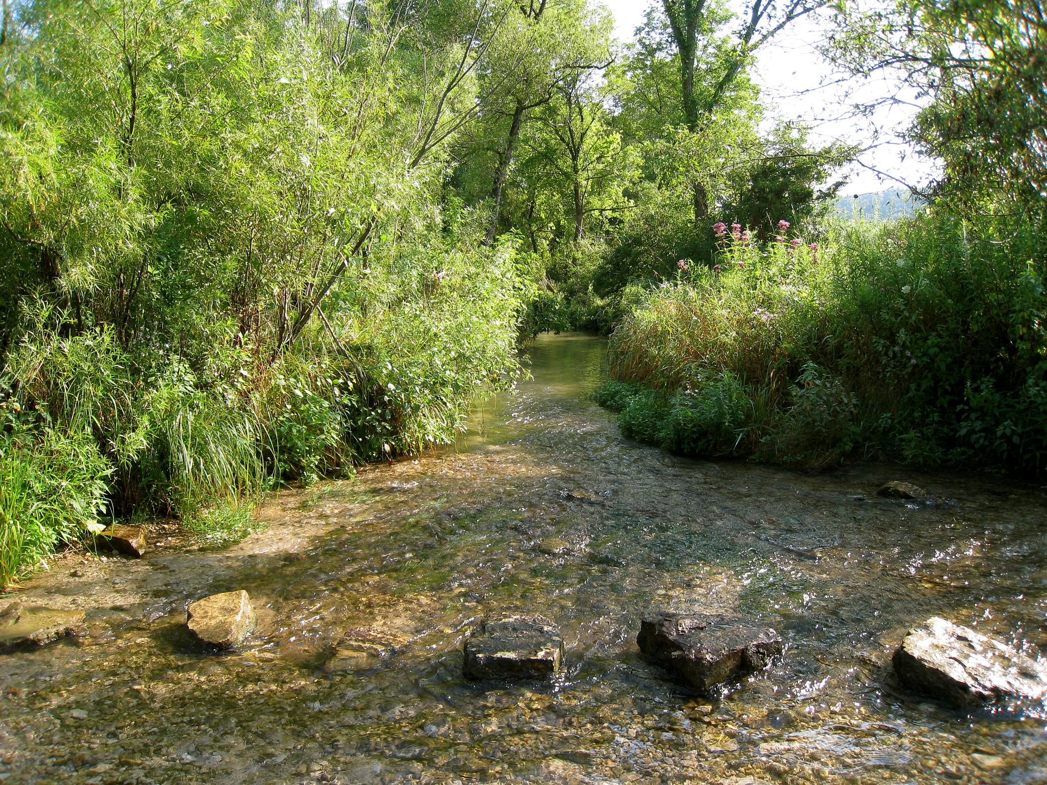
My Favorite Swimming Hole
Living Water

common yellowthroat juvenile at Canoe Creek WMA IA 854A6465
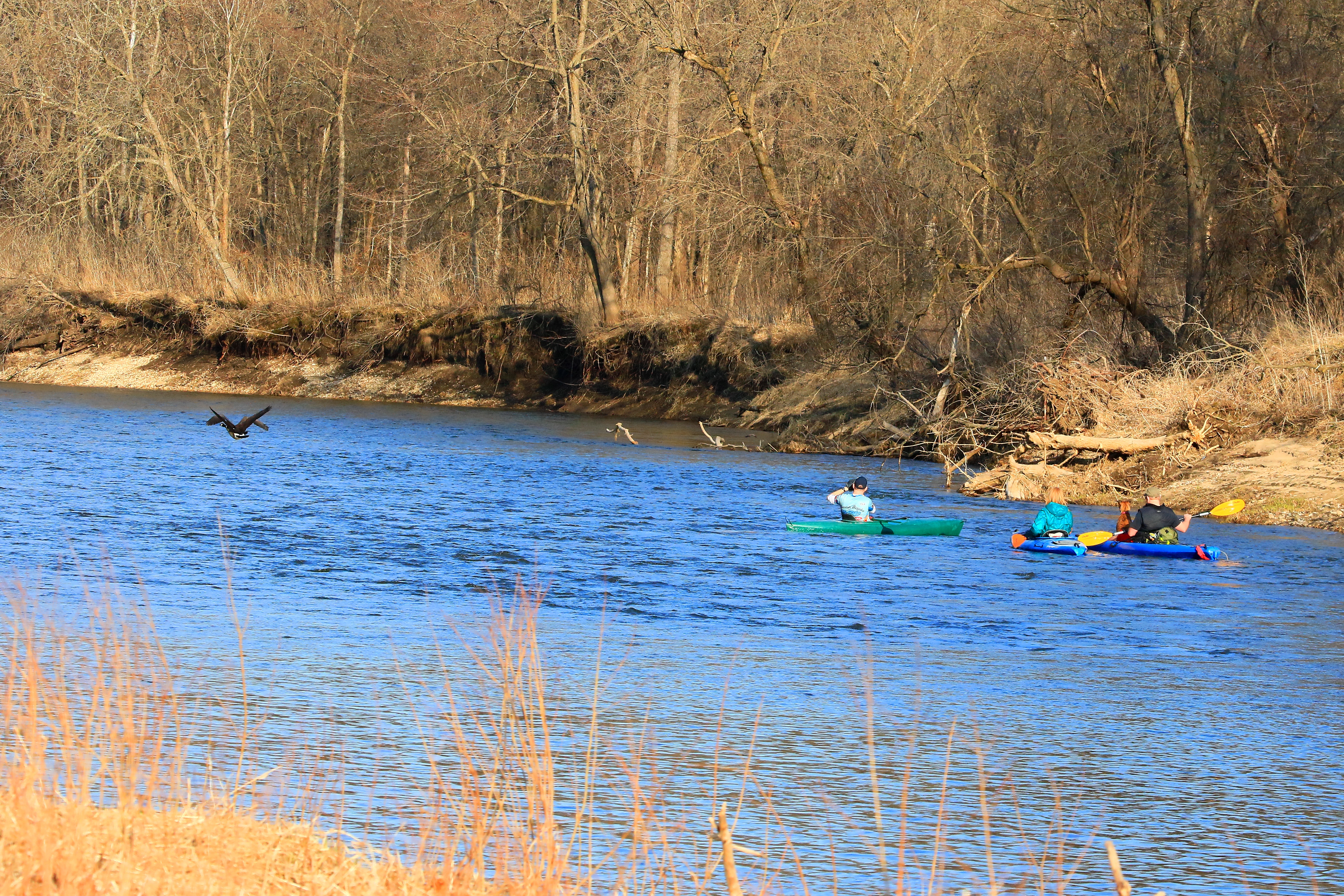
kayakers & Canada geese near Decorah IA 854A8615

Virginia waterleaf at Marilie Woods IA 854A8783

song sparrow at Canoe Creek WMA IA 854A6461
Topographic Map of 15 Allamakee St NW, Waukon, IA, USA
Find elevation by address:

Places near 15 Allamakee St NW, Waukon, IA, USA:
Waukon
Allamakee County
Makee
76 Co Hwy A52, Waukon, IA, USA
600 Livingood Springs Rd
Old Stage Rd, Waukon, IA, USA
Frankville Rd, Postville, IA, USA
Post
th St, Decorah, IA, USA
th Ave, Castalia, IA, USA
Glenwood
Frankville
S Lawler St, Postville, IA, USA
Postville
1576 134th Ave
Pleasant
Luana
Broadview Ave, Luana, IA, USA
3305 Paint Creek Rd
Maple Ave, Eitzen, MN, USA
Recent Searches:
- Elevation map of Greenland, Greenland
- Elevation of Sullivan Hill, New York, New York, 10002, USA
- Elevation of Morehead Road, Withrow Downs, Charlotte, Mecklenburg County, North Carolina, 28262, USA
- Elevation of 2800, Morehead Road, Withrow Downs, Charlotte, Mecklenburg County, North Carolina, 28262, USA
- Elevation of Yangbi Yi Autonomous County, Yunnan, China
- Elevation of Pingpo, Yangbi Yi Autonomous County, Yunnan, China
- Elevation of Mount Malong, Pingpo, Yangbi Yi Autonomous County, Yunnan, China
- Elevation map of Yongping County, Yunnan, China
- Elevation of North 8th Street, Palatka, Putnam County, Florida, 32177, USA
- Elevation of 107, Big Apple Road, East Palatka, Putnam County, Florida, 32131, USA
- Elevation of Jiezi, Chongzhou City, Sichuan, China
- Elevation of Chongzhou City, Sichuan, China
- Elevation of Huaiyuan, Chongzhou City, Sichuan, China
- Elevation of Qingxia, Chengdu, Sichuan, China
- Elevation of Corso Fratelli Cairoli, 35, Macerata MC, Italy
- Elevation of Tallevast Rd, Sarasota, FL, USA
- Elevation of 4th St E, Sonoma, CA, USA
- Elevation of Black Hollow Rd, Pennsdale, PA, USA
- Elevation of Oakland Ave, Williamsport, PA, USA
- Elevation of Pedrógão Grande, Portugal