Elevation of Allamakee County, IA, USA
Location: United States > Iowa >
Longitude: -91.443469
Latitude: 43.2430754
Elevation: 339m / 1112feet
Barometric Pressure: 0KPa
Related Photos:

Iowa, Winneshiek County- Frankville, Frankville Stone School (858-2)
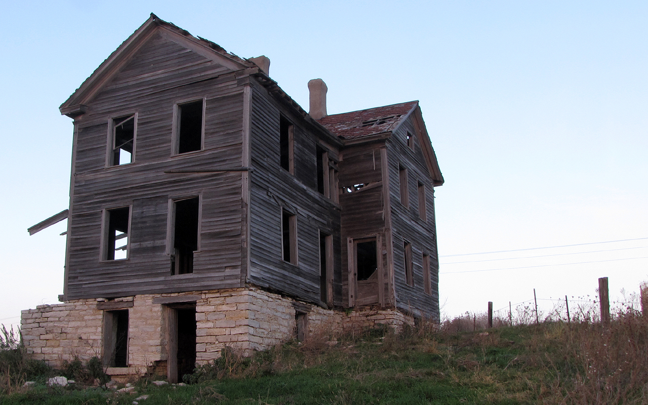
The House on the Hill
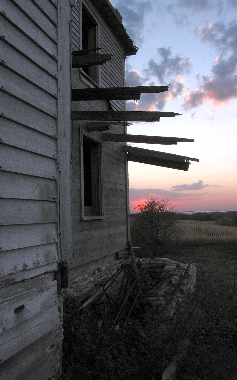
The House on the Hill
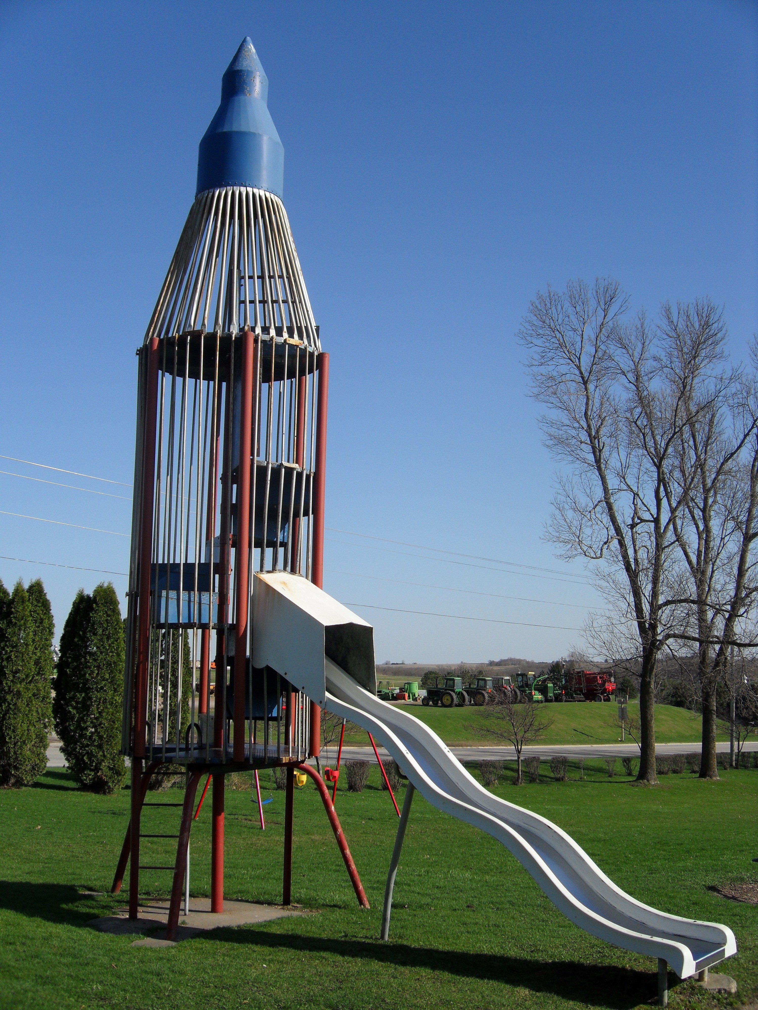
Rocket Slide

American kestrel rear view near Rossville IA 854A3379

chipping sparrow at Waukon City Park IA 854A7196
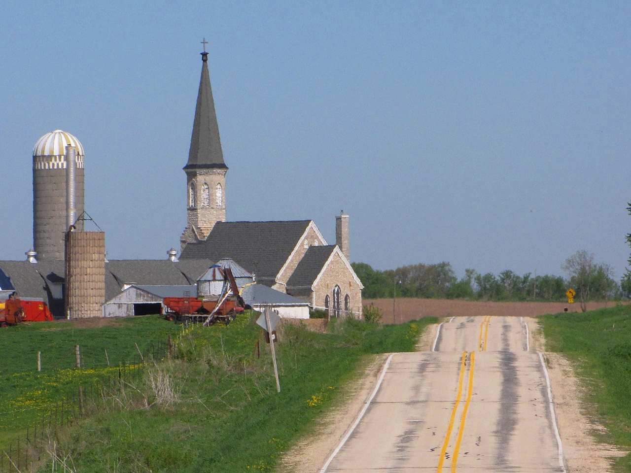
Steeples and Silos
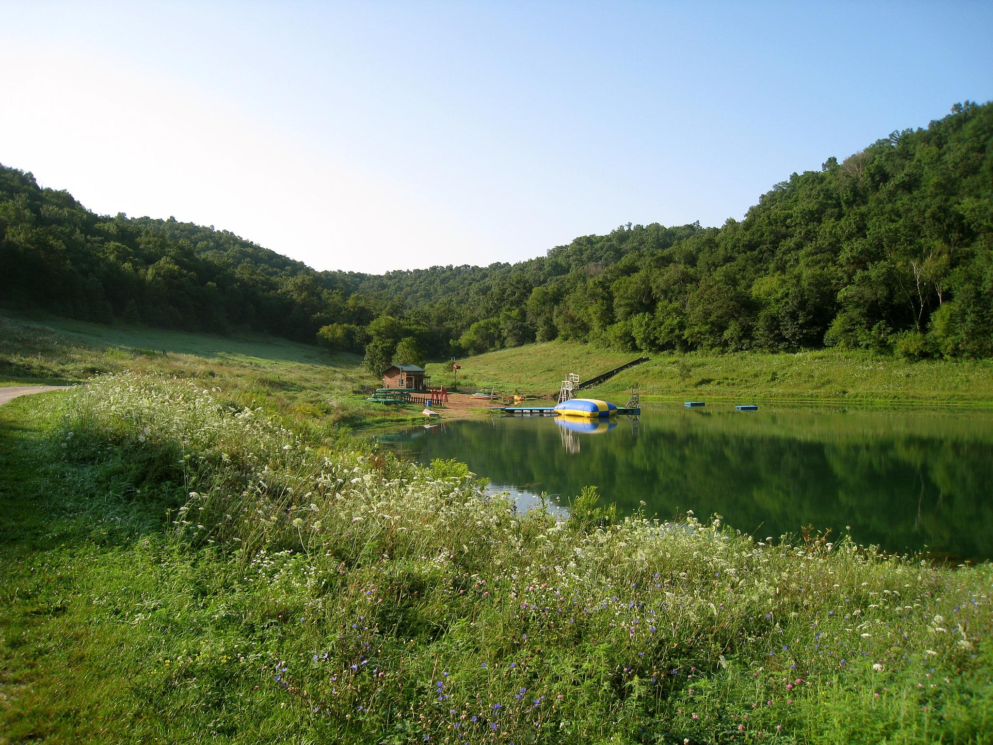
My Favorite Swimming Hole
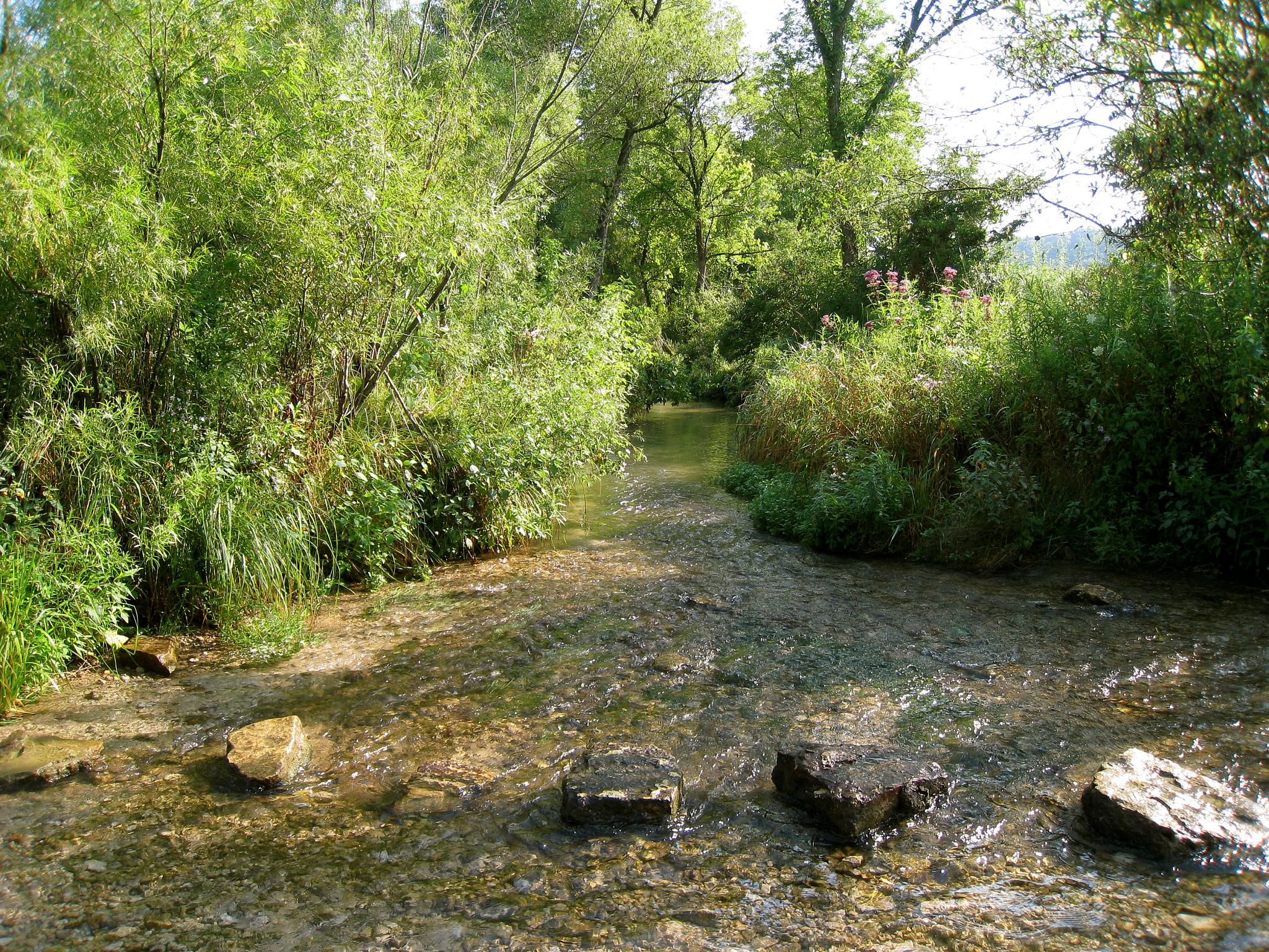
Living Water
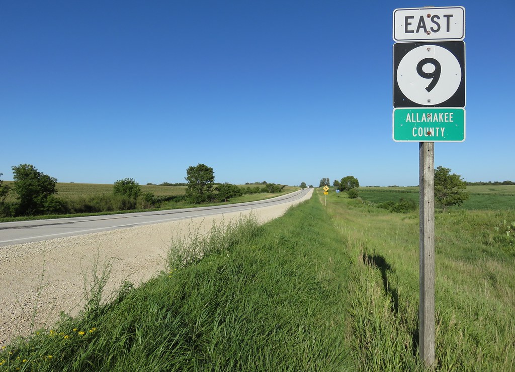
Entering Allamakee County (Allamakee County, Iowa)
Topographic Map of Allamakee County, IA, USA
Find elevation by address:

Places in Allamakee County, IA, USA:
Places near Allamakee County, IA, USA:
15 Allamakee St NW, Waukon, IA, USA
Waukon
Makee
76 Co Hwy A52, Waukon, IA, USA
600 Livingood Springs Rd
Post
Old Stage Rd, Waukon, IA, USA
Frankville Rd, Postville, IA, USA
Luana
Broadview Ave, Luana, IA, USA
th Ave, Castalia, IA, USA
S Lawler St, Postville, IA, USA
Postville
th St, Decorah, IA, USA
Monona
Frankville
Glenwood
1576 134th Ave
Pleasant
Maple Ave, Eitzen, MN, USA
Recent Searches:
- Elevation of Pasing, Munich, Bavaria, 81241, Germany
- Elevation of 24, Auburn Bay Crescent SE, Auburn Bay, Calgary, Alberta, T3M 0A6, Canada
- Elevation of Denver, 2314, Arapahoe Street, Five Points, Denver, Colorado, 80205, USA
- Elevation of Community of the Beatitudes, 2924, West 43rd Avenue, Sunnyside, Denver, Colorado, 80211, USA
- Elevation map of Litang County, Sichuan, China
- Elevation map of Madoi County, Qinghai, China
- Elevation of 3314, Ohio State Route 114, Payne, Paulding County, Ohio, 45880, USA
- Elevation of Sarahills Drive, Saratoga, Santa Clara County, California, 95070, USA
- Elevation of Town of Bombay, Franklin County, New York, USA
- Elevation of 9, Convent Lane, Center Moriches, Suffolk County, New York, 11934, USA
- Elevation of Saint Angelas Convent, 9, Convent Lane, Center Moriches, Suffolk County, New York, 11934, USA
- Elevation of 131st Street Southwest, Mukilteo, Snohomish County, Washington, 98275, USA
- Elevation of 304, Harrison Road, Naples, Cumberland County, Maine, 04055, USA
- Elevation of 2362, Timber Ridge Road, Harrisburg, Cabarrus County, North Carolina, 28075, USA
- Elevation of Ridge Road, Marshalltown, Marshall County, Iowa, 50158, USA
- Elevation of 2459, Misty Shadows Drive, Pigeon Forge, Sevier County, Tennessee, 37862, USA
- Elevation of 8043, Brightwater Way, Spring Hill, Williamson County, Tennessee, 37179, USA
- Elevation of Starkweather Road, San Luis, Costilla County, Colorado, 81152, USA
- Elevation of 5277, Woodside Drive, Baton Rouge, East Baton Rouge Parish, Louisiana, 70808, USA
- Elevation of 1139, Curtin Street, Shepherd Park Plaza, Houston, Harris County, Texas, 77018, USA