Elevation of Postville, IA, USA
Location: United States > Iowa > Allamakee County > Post >
Longitude: -91.5682015
Latitude: 43.084702
Elevation: 360m / 1181feet
Barometric Pressure: 0KPa
Related Photos:

HFF Numerous types

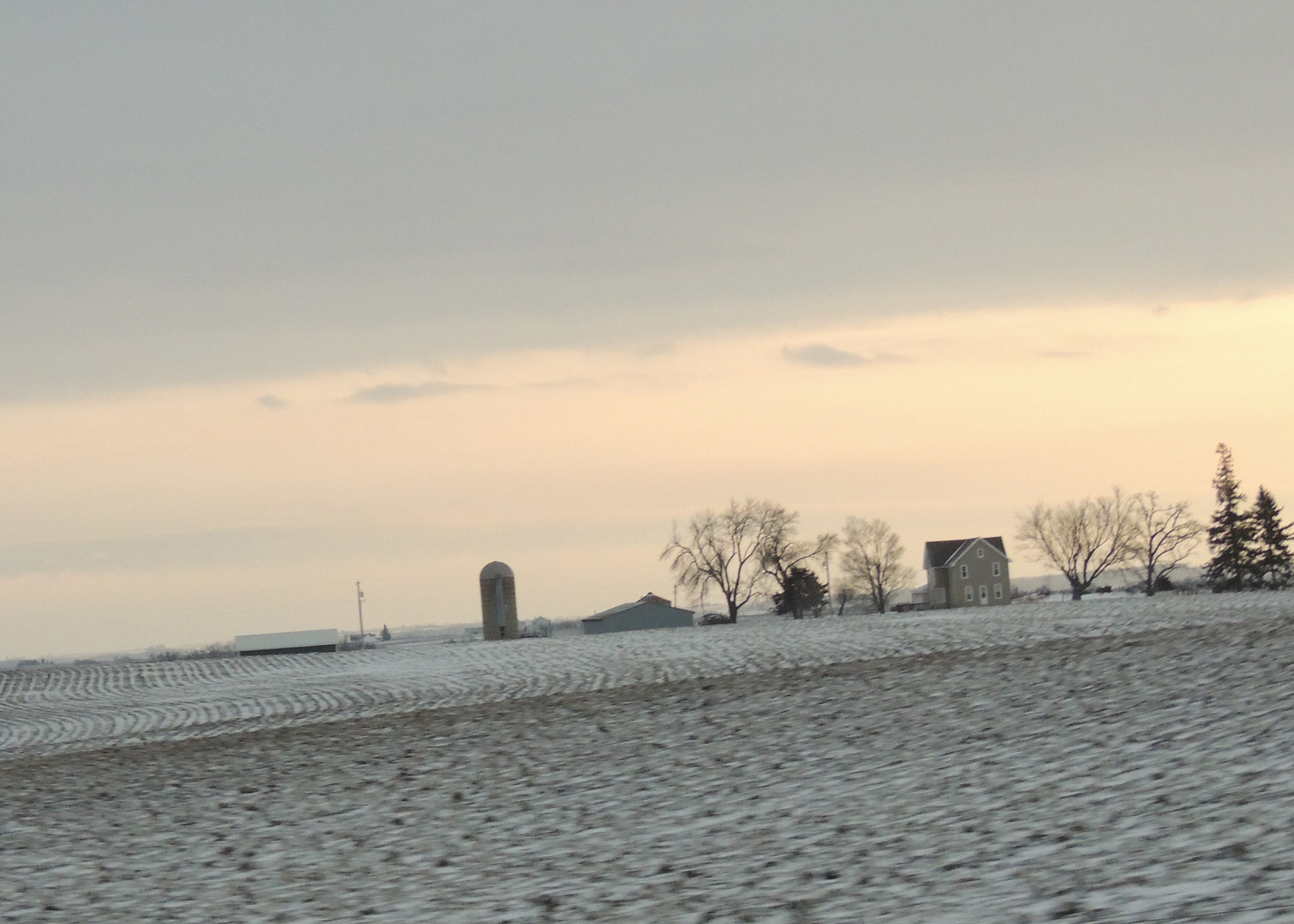
Iowa, Winneshiek County- Frankville, Frankville Stone School (858-2)

facing south east

Looking across the field...
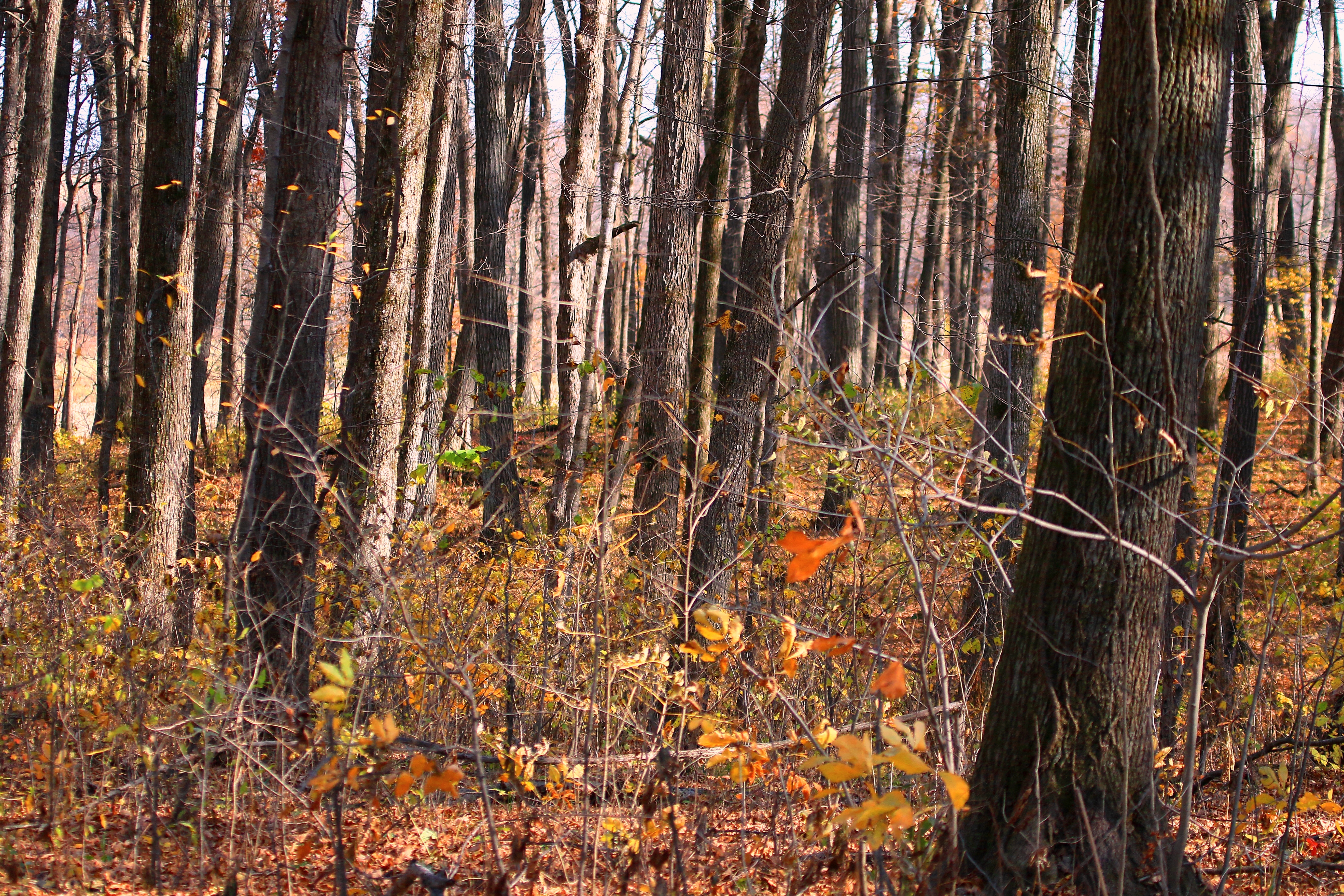
sugar maple tree trunks in Marilie Forest IA 854A4063
IA/MN trip

alfalfa field
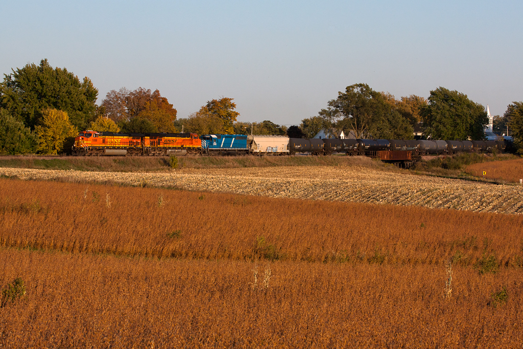
BNSF 5368 - Unit Ethanol Train - Castalia, IA
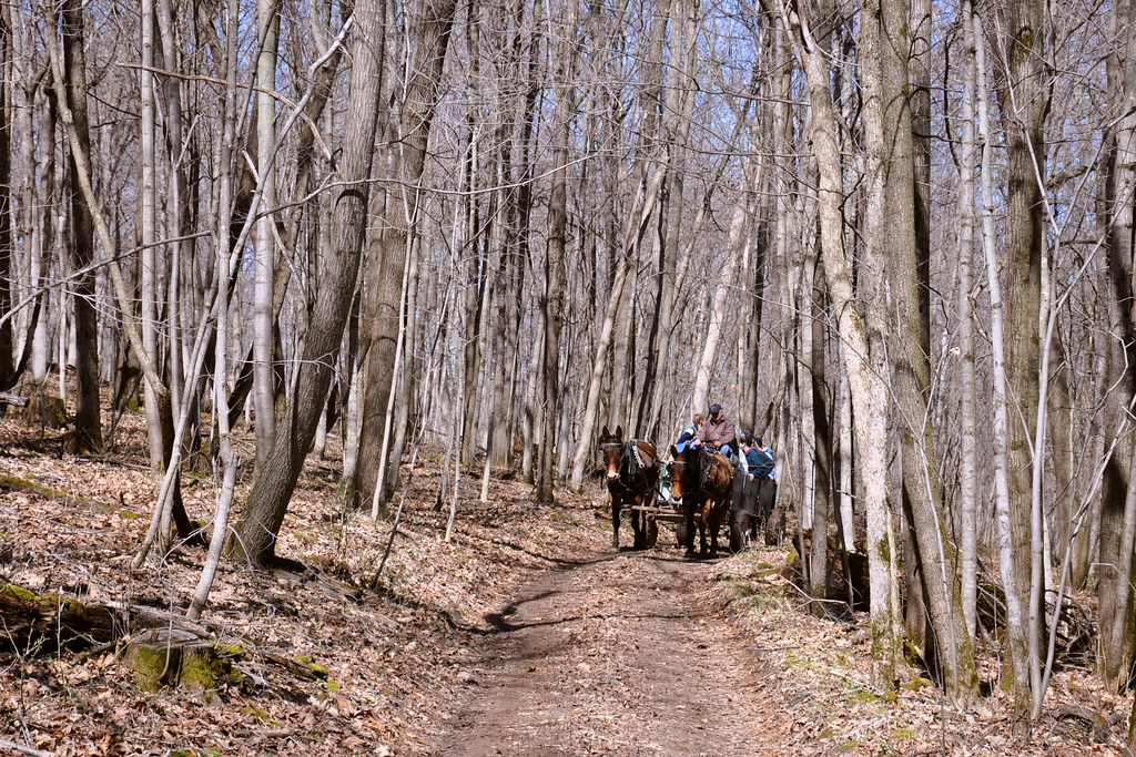
Maple Tour
Topographic Map of Postville, IA, USA
Find elevation by address:

Places in Postville, IA, USA:
Places near Postville, IA, USA:
S Lawler St, Postville, IA, USA
Post
600 Livingood Springs Rd
th Ave, Castalia, IA, USA
W Greene St, Castalia, IA, USA
Frankville Rd, Postville, IA, USA
Luana
1576 134th Ave
Broadview Ave, Luana, IA, USA
Center St, Elgin, IA, USA
Elgin
Elgin
Elgin
Monona
Pleasant Valley
Pleasant Valley
Frankville
Old Stage Rd, Waukon, IA, USA
Allamakee County
Waukon
Recent Searches:
- Elevation map of Greenland, Greenland
- Elevation of Sullivan Hill, New York, New York, 10002, USA
- Elevation of Morehead Road, Withrow Downs, Charlotte, Mecklenburg County, North Carolina, 28262, USA
- Elevation of 2800, Morehead Road, Withrow Downs, Charlotte, Mecklenburg County, North Carolina, 28262, USA
- Elevation of Yangbi Yi Autonomous County, Yunnan, China
- Elevation of Pingpo, Yangbi Yi Autonomous County, Yunnan, China
- Elevation of Mount Malong, Pingpo, Yangbi Yi Autonomous County, Yunnan, China
- Elevation map of Yongping County, Yunnan, China
- Elevation of North 8th Street, Palatka, Putnam County, Florida, 32177, USA
- Elevation of 107, Big Apple Road, East Palatka, Putnam County, Florida, 32131, USA
- Elevation of Jiezi, Chongzhou City, Sichuan, China
- Elevation of Chongzhou City, Sichuan, China
- Elevation of Huaiyuan, Chongzhou City, Sichuan, China
- Elevation of Qingxia, Chengdu, Sichuan, China
- Elevation of Corso Fratelli Cairoli, 35, Macerata MC, Italy
- Elevation of Tallevast Rd, Sarasota, FL, USA
- Elevation of 4th St E, Sonoma, CA, USA
- Elevation of Black Hollow Rd, Pennsdale, PA, USA
- Elevation of Oakland Ave, Williamsport, PA, USA
- Elevation of Pedrógão Grande, Portugal