Elevation of Pleasant Valley, IA, USA
Location: United States > Iowa > Fayette County >
Longitude: -91.656637
Latitude: 42.949211
Elevation: 292m / 958feet
Barometric Pressure: 98KPa
Elevation Map:
Satellite Map:
Related Photos:

HFF Numerous types

Romper Room '09 - Wadena

Romper Room '09 - Wadena

Romper Room '09 - Wadena

facing south east

alfalfa field
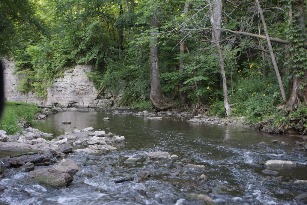
Echo Valley State Park
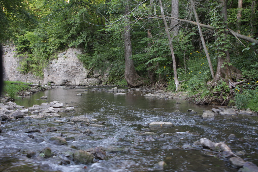
Echo Valley State Park
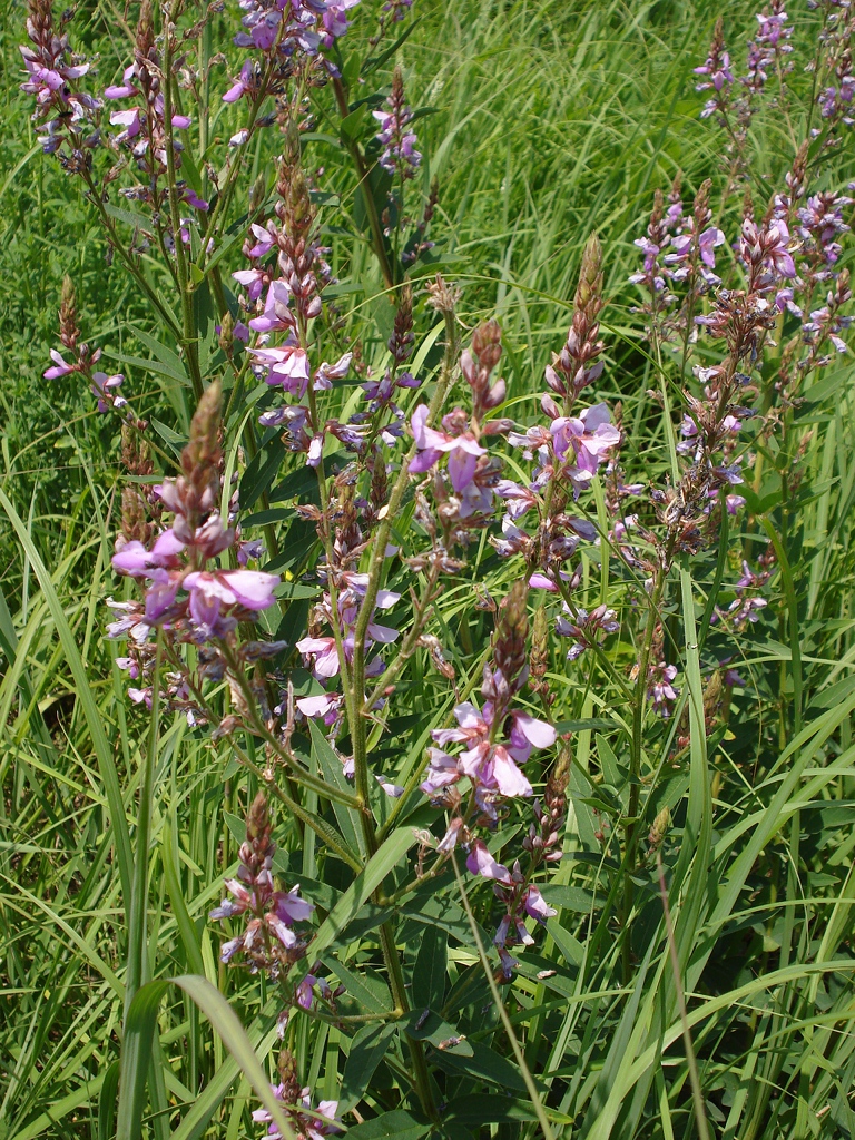
Desmodium canadense
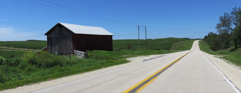
Northeast Iowa Landscape (Fayette County, Iowa)
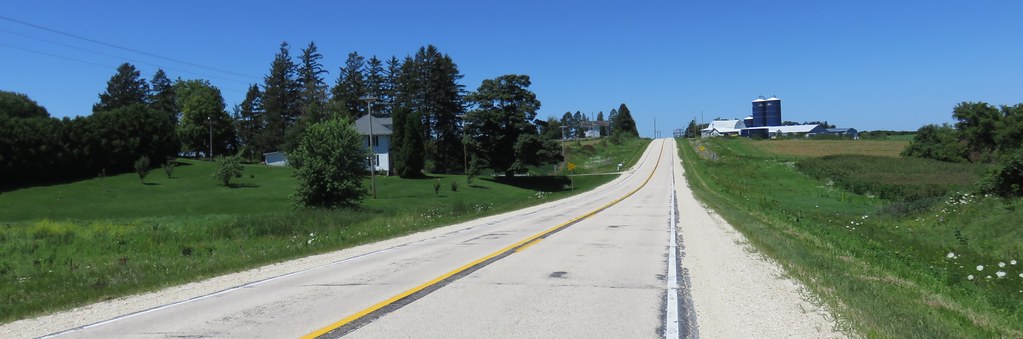
Northeast Iowa Landscape (Fayette County, Iowa)
Topographic Map of Pleasant Valley, IA, USA
Find elevation by address:

Places in Pleasant Valley, IA, USA:
Places near Pleasant Valley, IA, USA:
Pleasant Valley
Elgin
Elgin
Elgin
Center St, Elgin, IA, USA
Postville
S Lawler St, Postville, IA, USA
W Greene St, Castalia, IA, USA
Post
th Ave, Castalia, IA, USA
1576 134th Ave
Luana
600 Livingood Springs Rd
Broadview Ave, Luana, IA, USA
Frankville Rd, Postville, IA, USA
Boardman
Monona
Fayette County
807 N Main St
Co Rd B32, Fort Atkinson, IA, USA
Recent Searches:
- Elevation of Corso Fratelli Cairoli, 35, Macerata MC, Italy
- Elevation of Tallevast Rd, Sarasota, FL, USA
- Elevation of 4th St E, Sonoma, CA, USA
- Elevation of Black Hollow Rd, Pennsdale, PA, USA
- Elevation of Oakland Ave, Williamsport, PA, USA
- Elevation of Pedrógão Grande, Portugal
- Elevation of Klee Dr, Martinsburg, WV, USA
- Elevation of Via Roma, Pieranica CR, Italy
- Elevation of Tavkvetili Mountain, Georgia
- Elevation of Hartfords Bluff Cir, Mt Pleasant, SC, USA