Elevation of S Lawler St, Postville, IA, USA
Location: United States > Iowa > Allamakee County > Post > Postville >
Longitude: -91.568366
Latitude: 43.0849065
Elevation: 361m / 1184feet
Barometric Pressure: 97KPa
Elevation Map:
Satellite Map:
Related Photos:

Iowa, Winneshiek County- Frankville, Frankville Stone School (858-2)

HFF Numerous types

facing south east

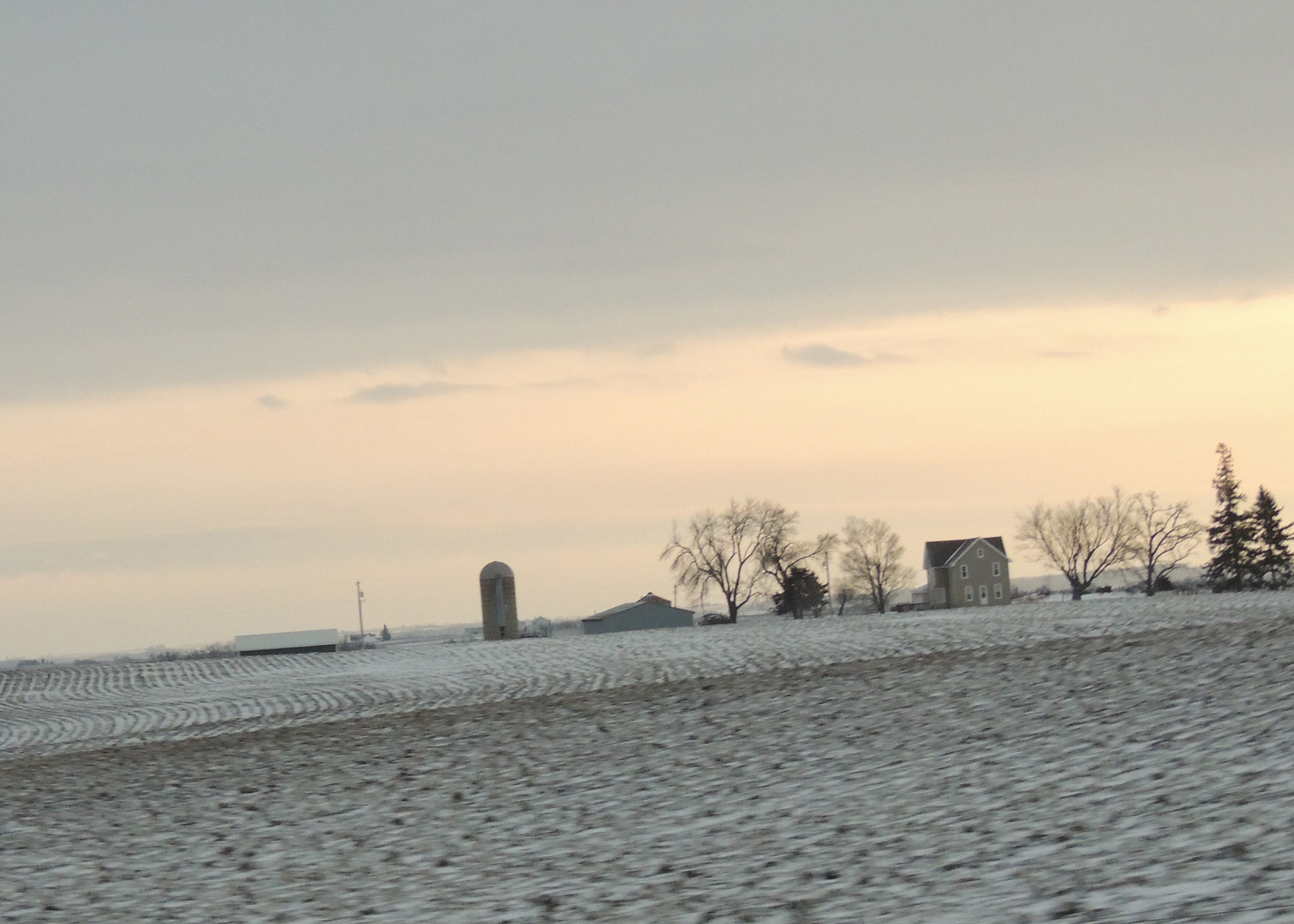
Looking across the field...
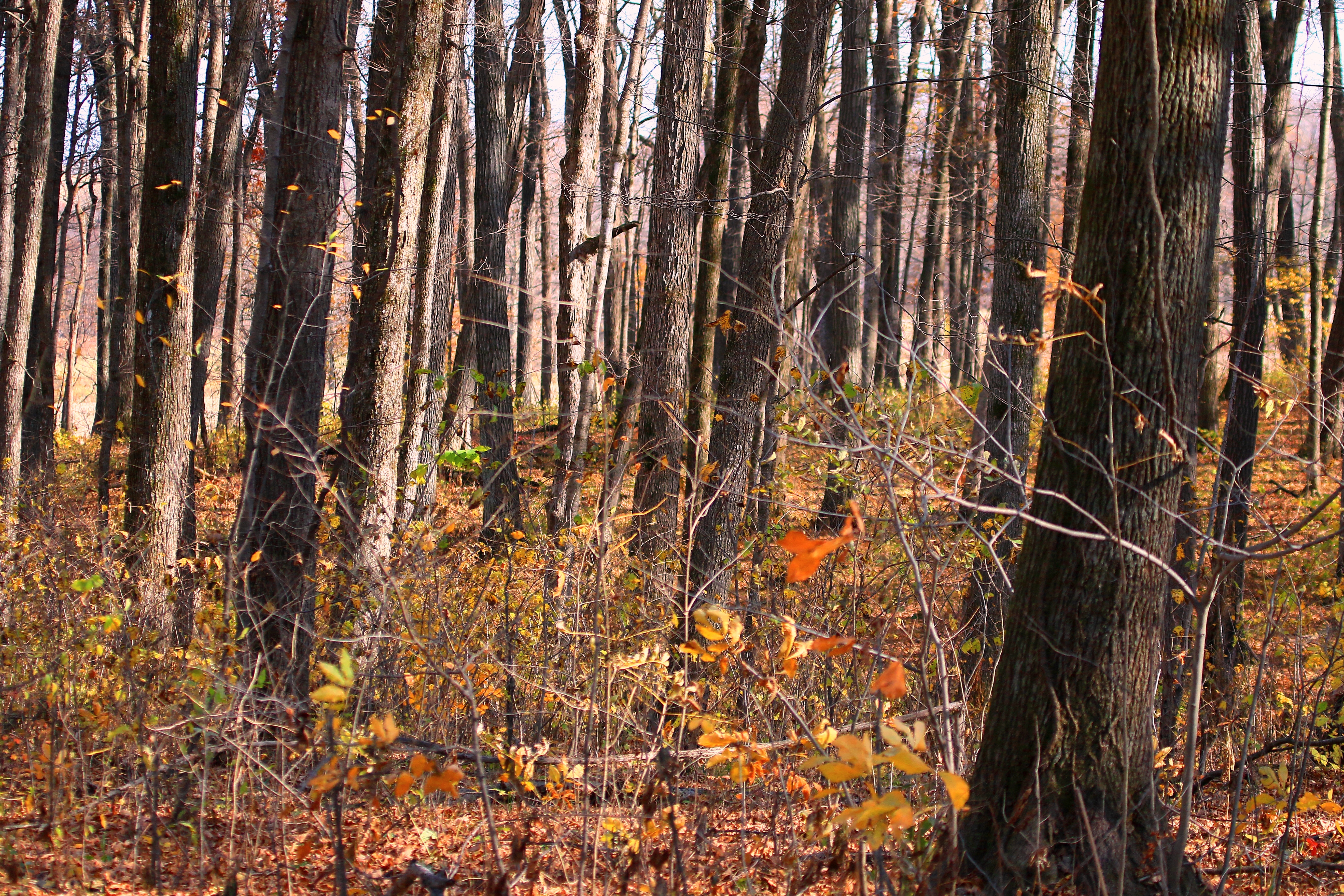
sugar maple tree trunks in Marilie Forest IA 854A4063
IA/MN trip

alfalfa field
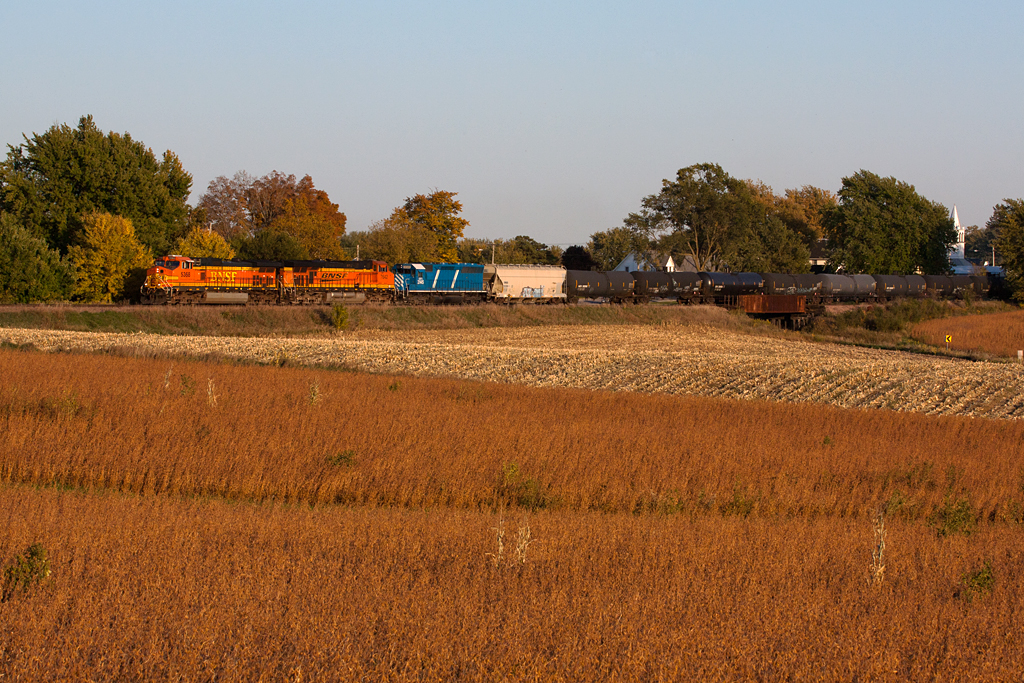
BNSF 5368 - Unit Ethanol Train - Castalia, IA
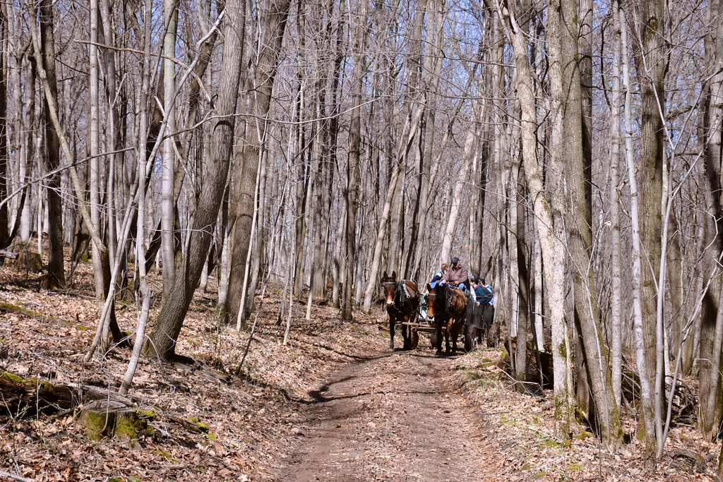
Maple Tour
Topographic Map of S Lawler St, Postville, IA, USA
Find elevation by address:

Places near S Lawler St, Postville, IA, USA:
Postville
Post
600 Livingood Springs Rd
th Ave, Castalia, IA, USA
W Greene St, Castalia, IA, USA
Frankville Rd, Postville, IA, USA
Luana
1576 134th Ave
Broadview Ave, Luana, IA, USA
Center St, Elgin, IA, USA
Elgin
Elgin
Elgin
Monona
Pleasant Valley
Pleasant Valley
Frankville
Old Stage Rd, Waukon, IA, USA
Allamakee County
Waukon
Recent Searches:
- Elevation of Corso Fratelli Cairoli, 35, Macerata MC, Italy
- Elevation of Tallevast Rd, Sarasota, FL, USA
- Elevation of 4th St E, Sonoma, CA, USA
- Elevation of Black Hollow Rd, Pennsdale, PA, USA
- Elevation of Oakland Ave, Williamsport, PA, USA
- Elevation of Pedrógão Grande, Portugal
- Elevation of Klee Dr, Martinsburg, WV, USA
- Elevation of Via Roma, Pieranica CR, Italy
- Elevation of Tavkvetili Mountain, Georgia
- Elevation of Hartfords Bluff Cir, Mt Pleasant, SC, USA