Elevation of Clayton County, IA, USA
Location: United States > Iowa >
Longitude: -91.289103
Latitude: 42.7785285
Elevation: 258m / 846feet
Barometric Pressure: 98KPa
Elevation Map:
Satellite Map:
Related Photos:
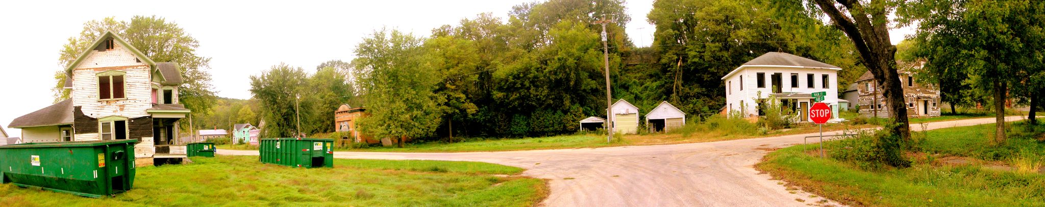
Elkport Panorama
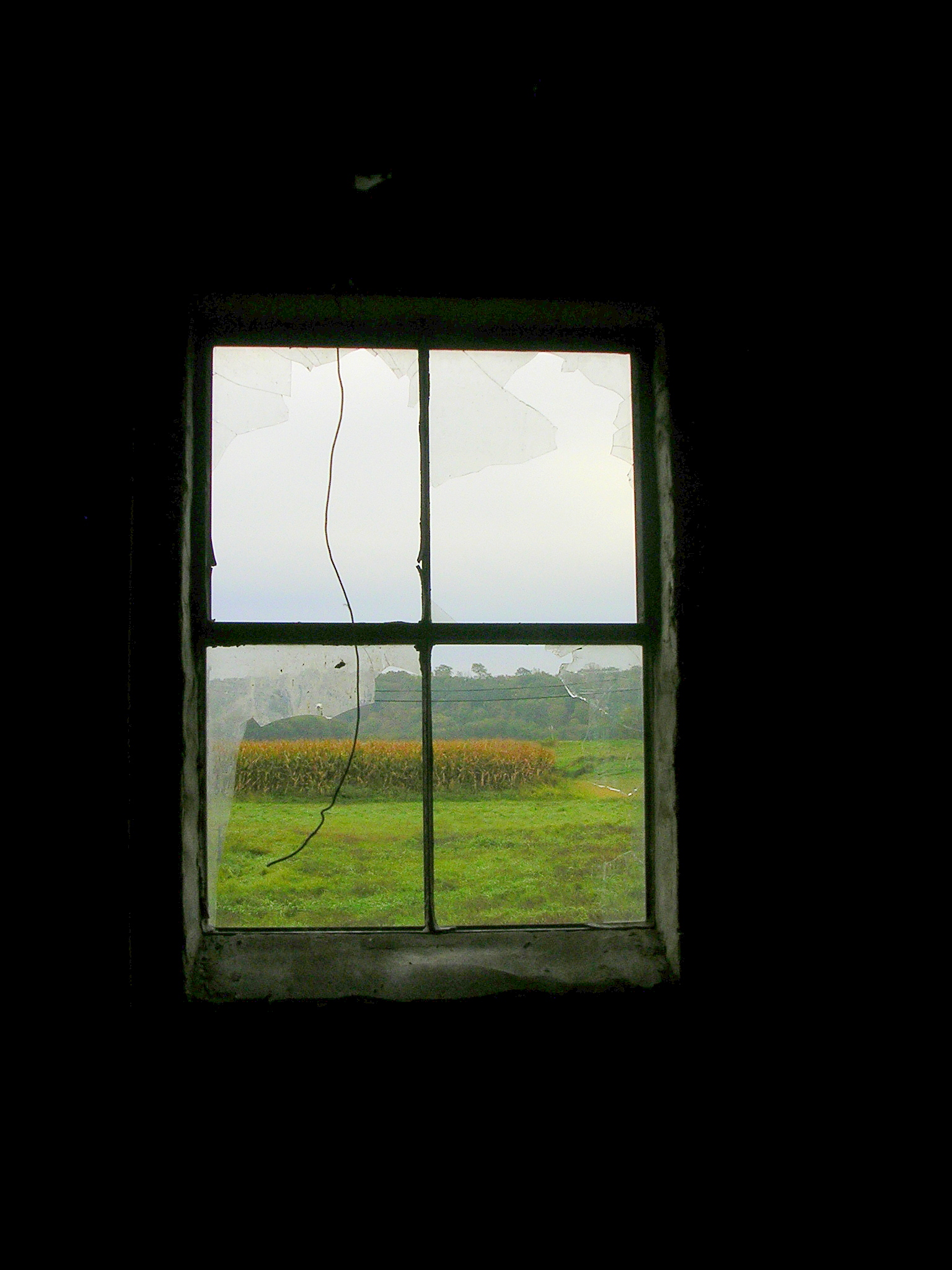
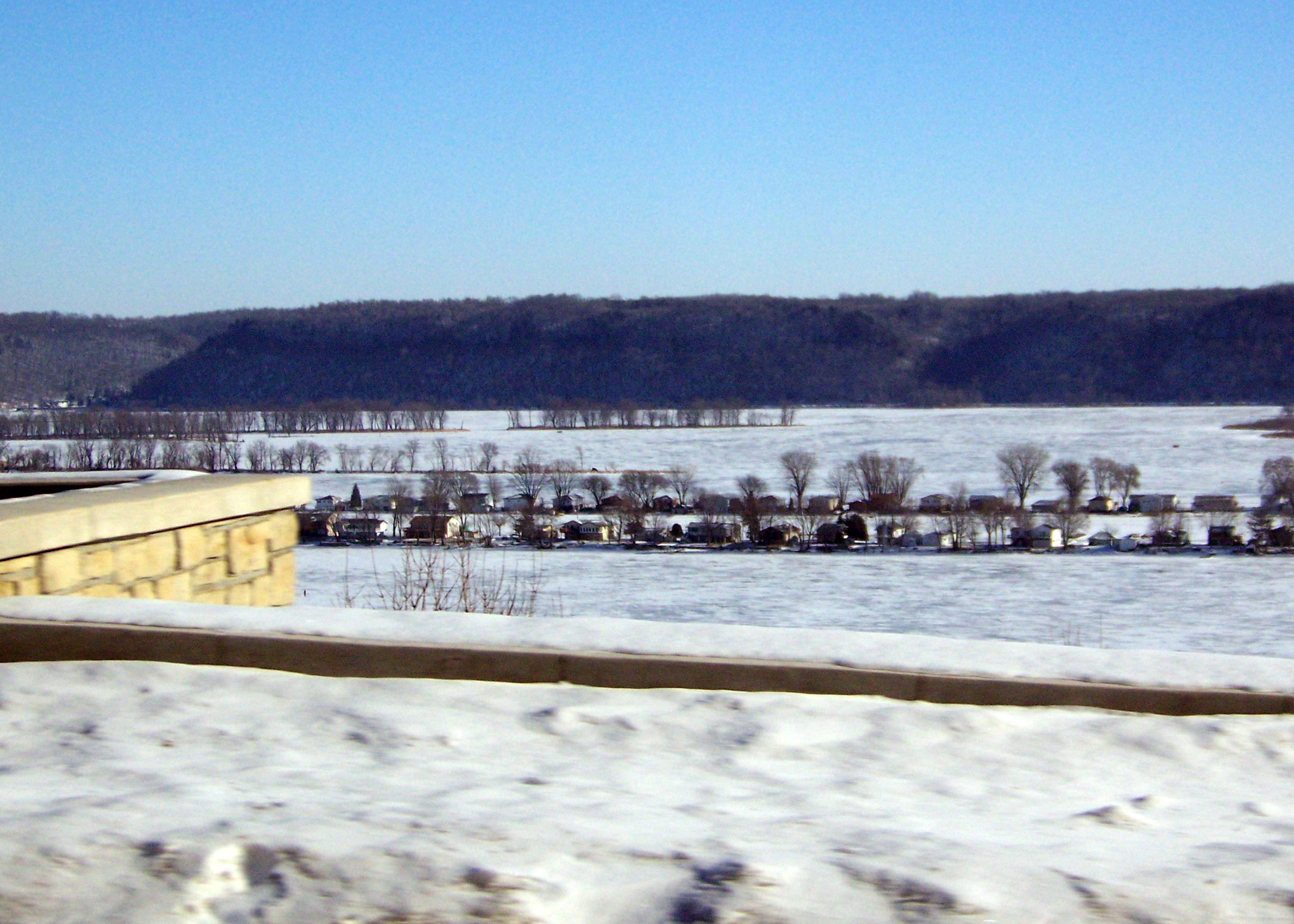
Last View from Elkport

photo.JPG

photo.JPG

South view (Guttenberg IA)
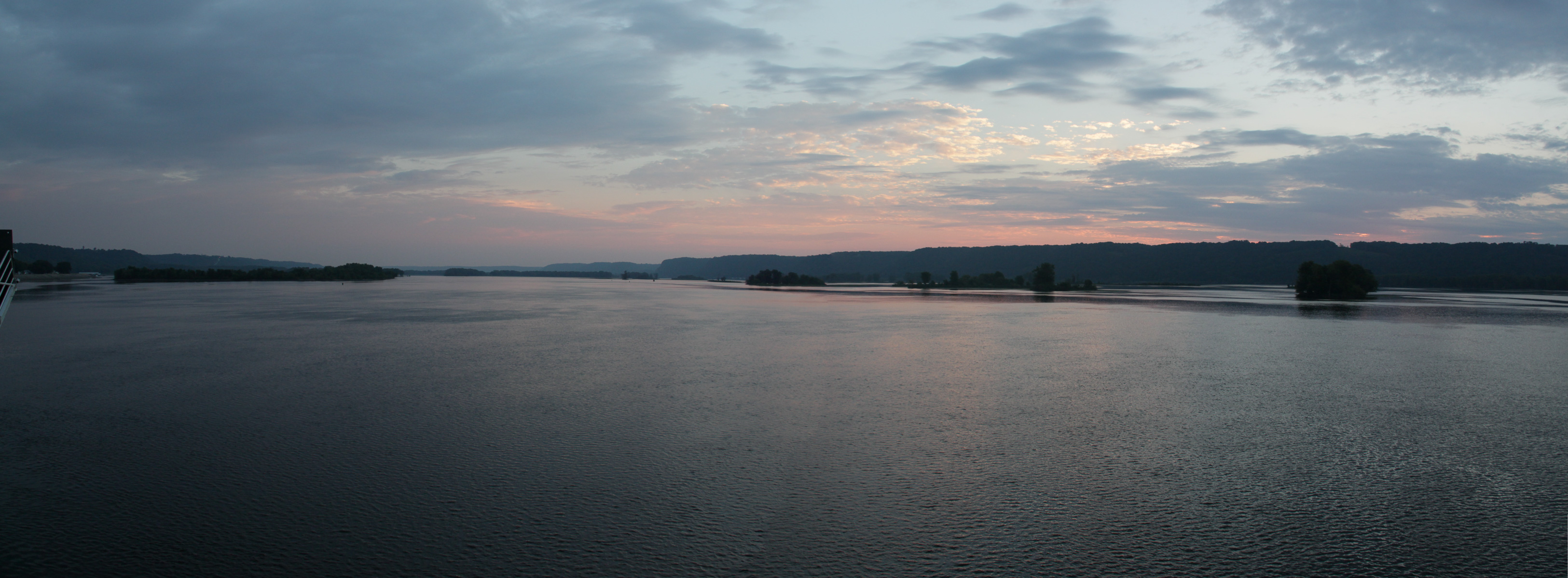
Up River View

North view (Guttenberg IA)
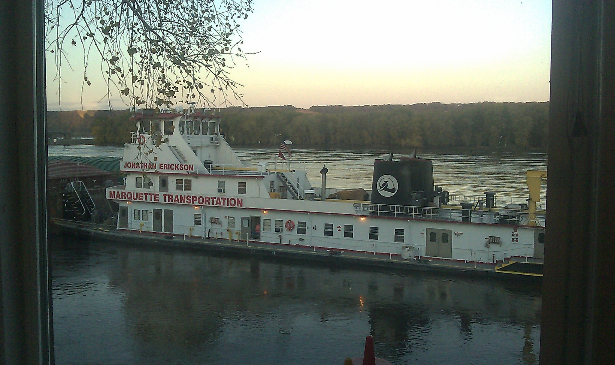
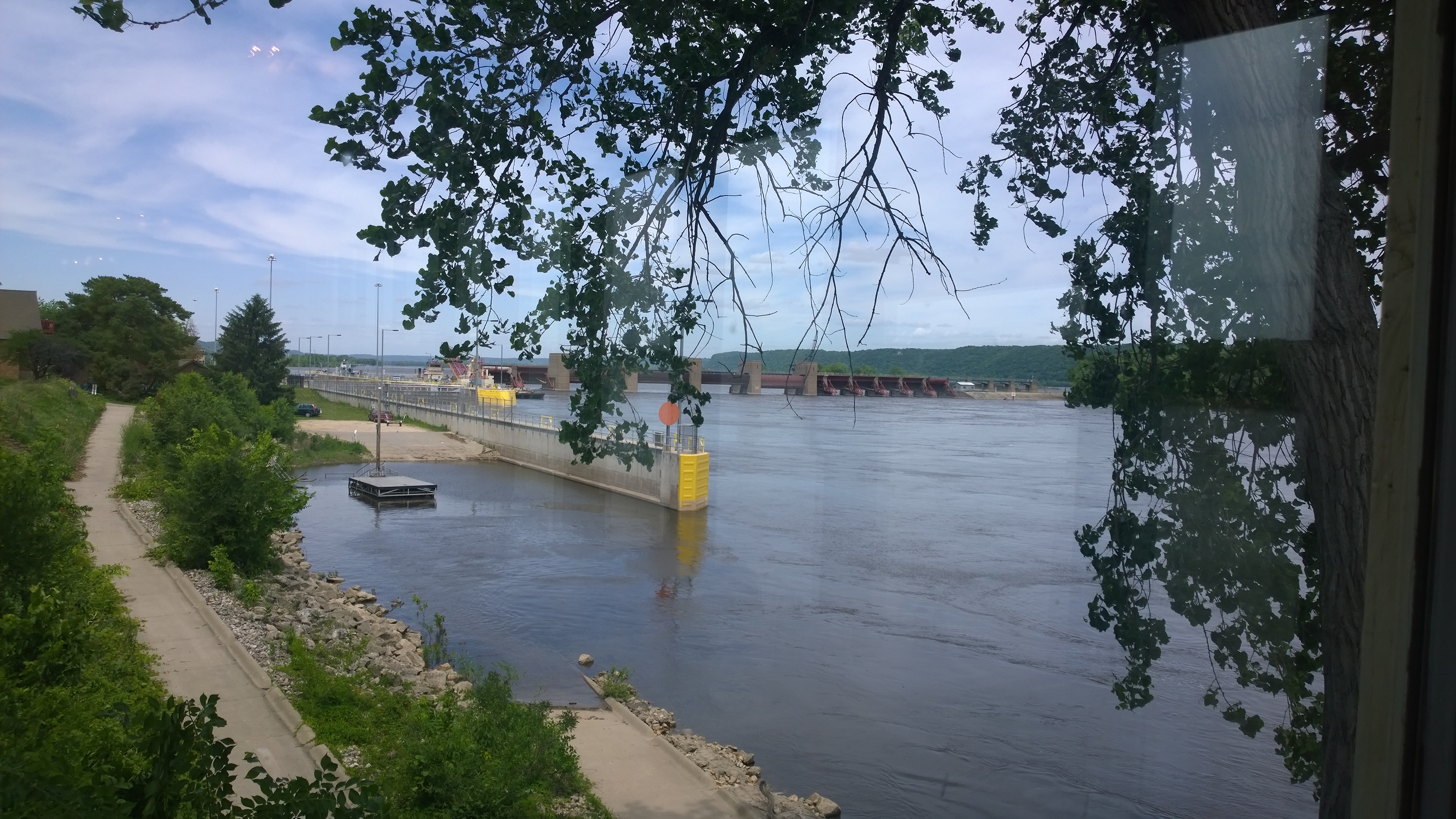
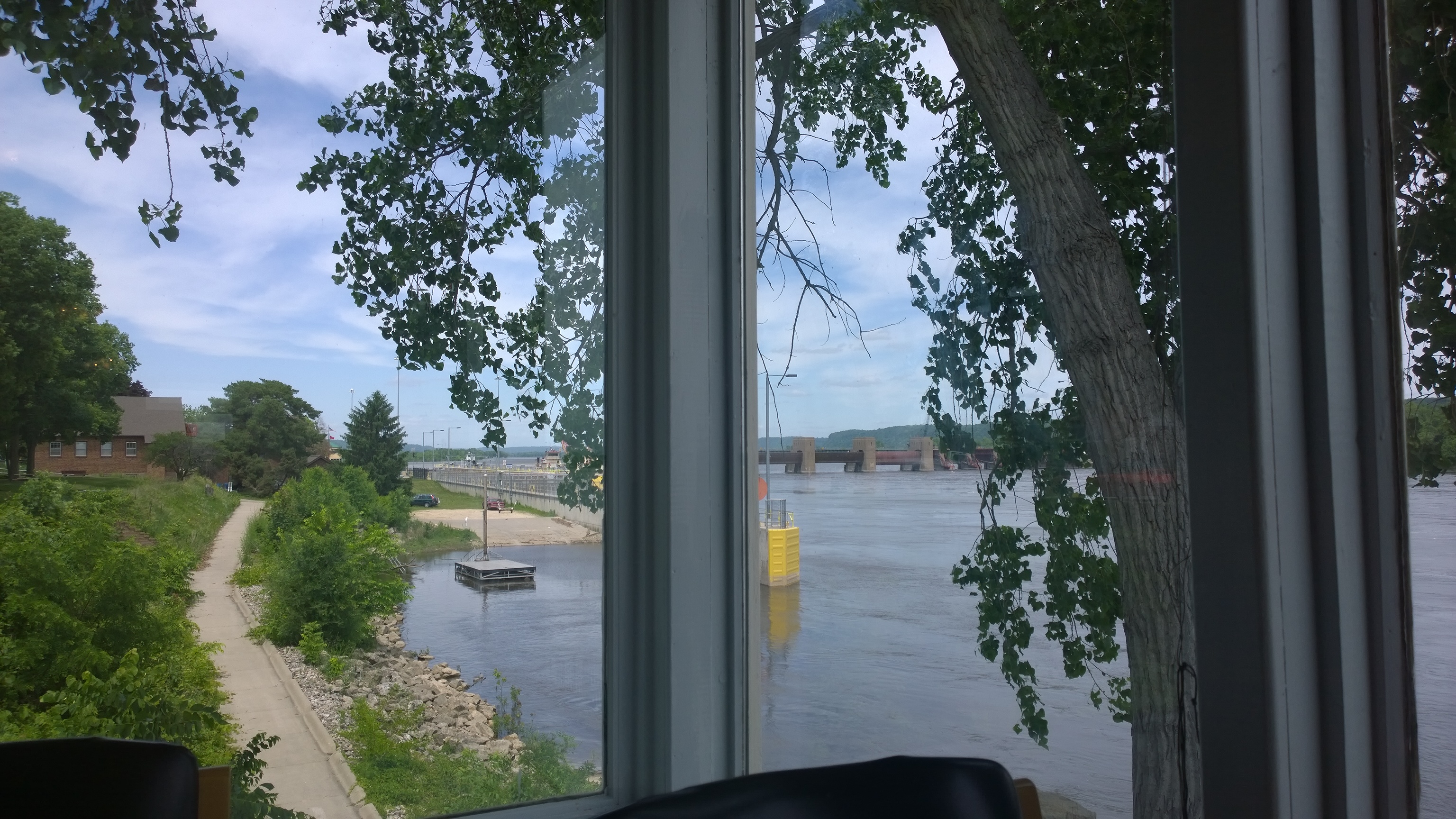
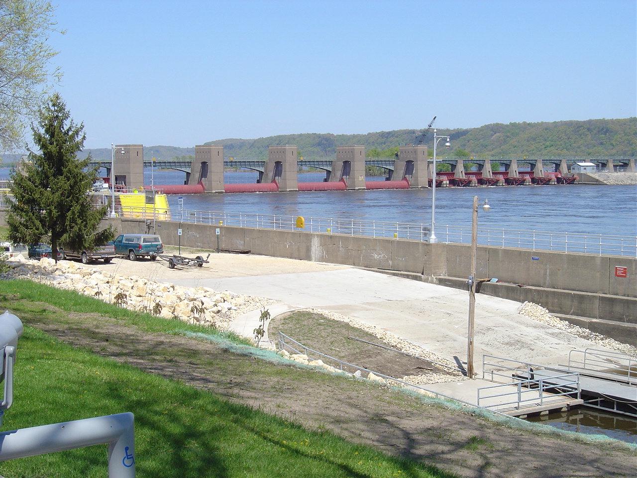
Mississippi Barge in Guttenburg, Iowa

Mississippi view through the trees (IA)
View of the Mississippi from Riverview Cafe in Bellevue, Iowa
View from lunch at the Riverview Cafe in Bellevue Iowa

Eagle View Motel
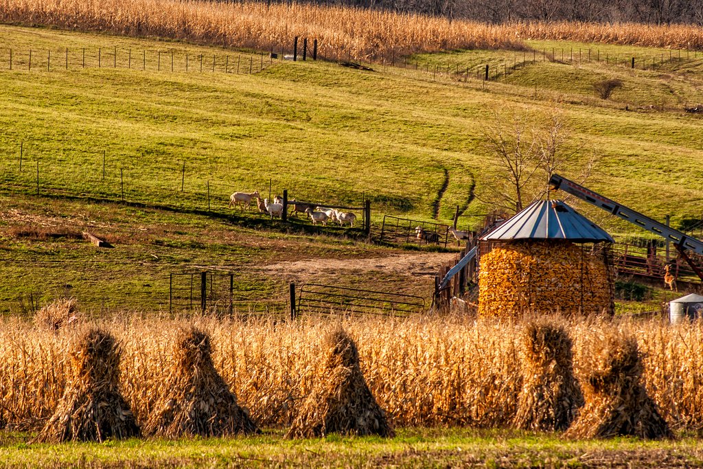
Amish Corn Harvest
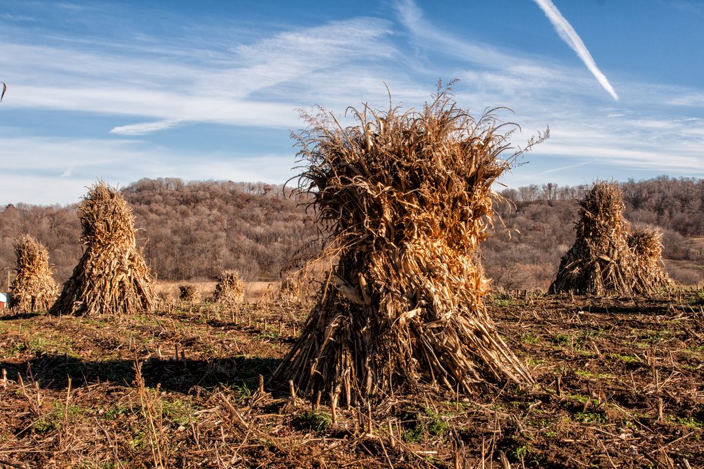
Corn Shocks

T Bunting Farm
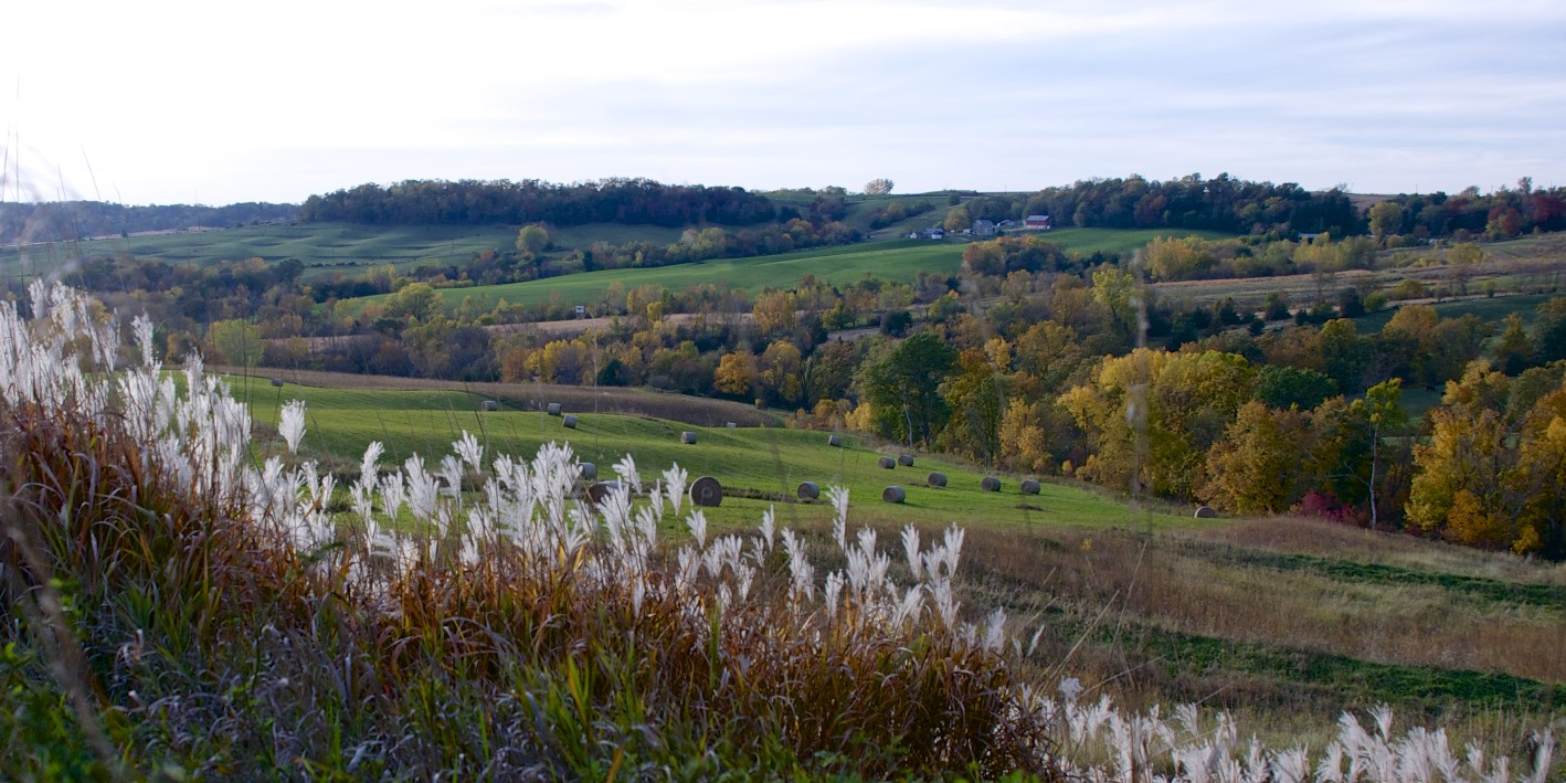
Iowa Hills & Trees Autumn
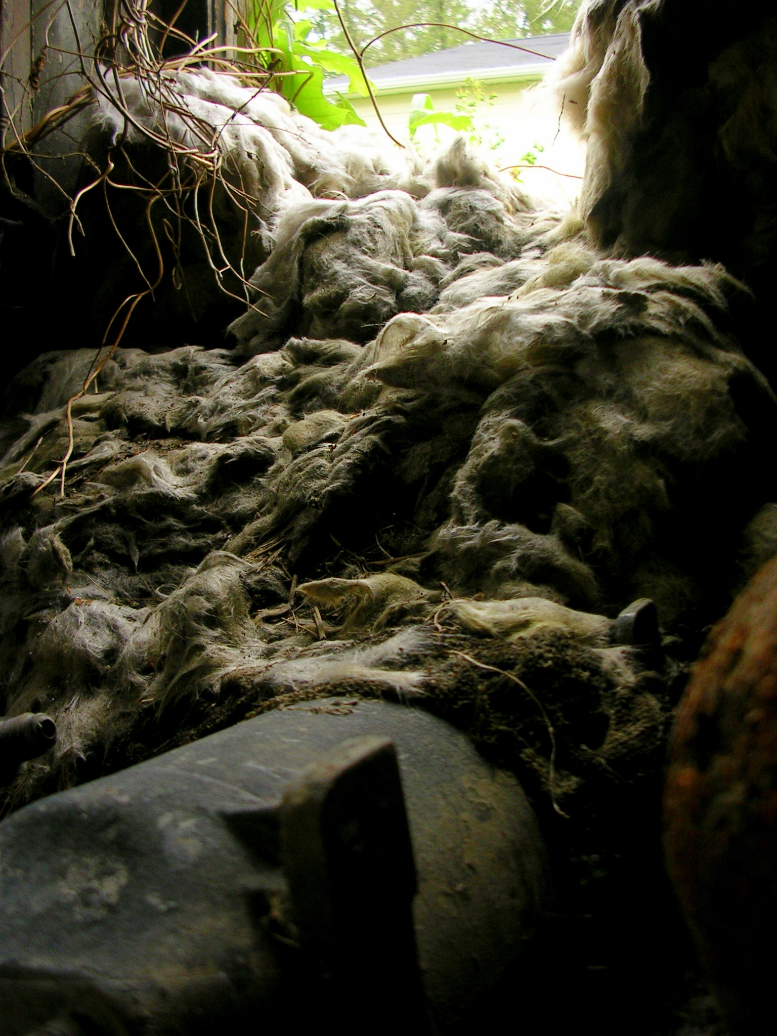
Insulation Meltdown
July 23 2006 036
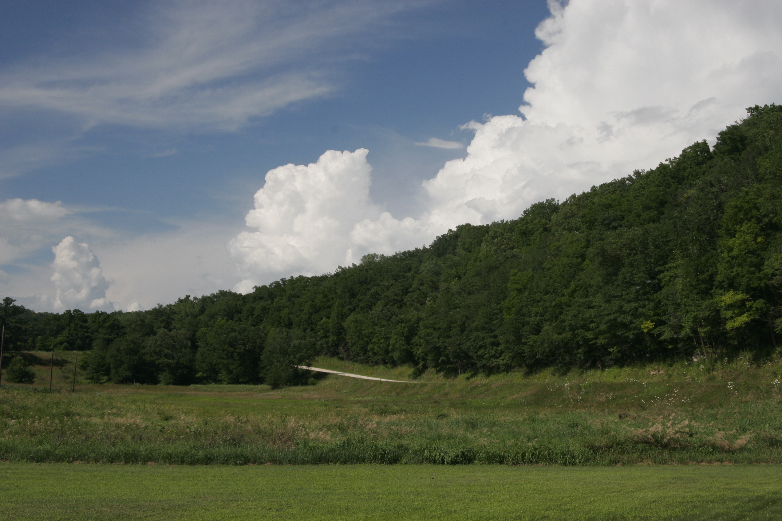
IA/MN trip

Sunrise (as posted from iPhone)

Water Lily - 10:46am

Turkey River, Elkader, iowa
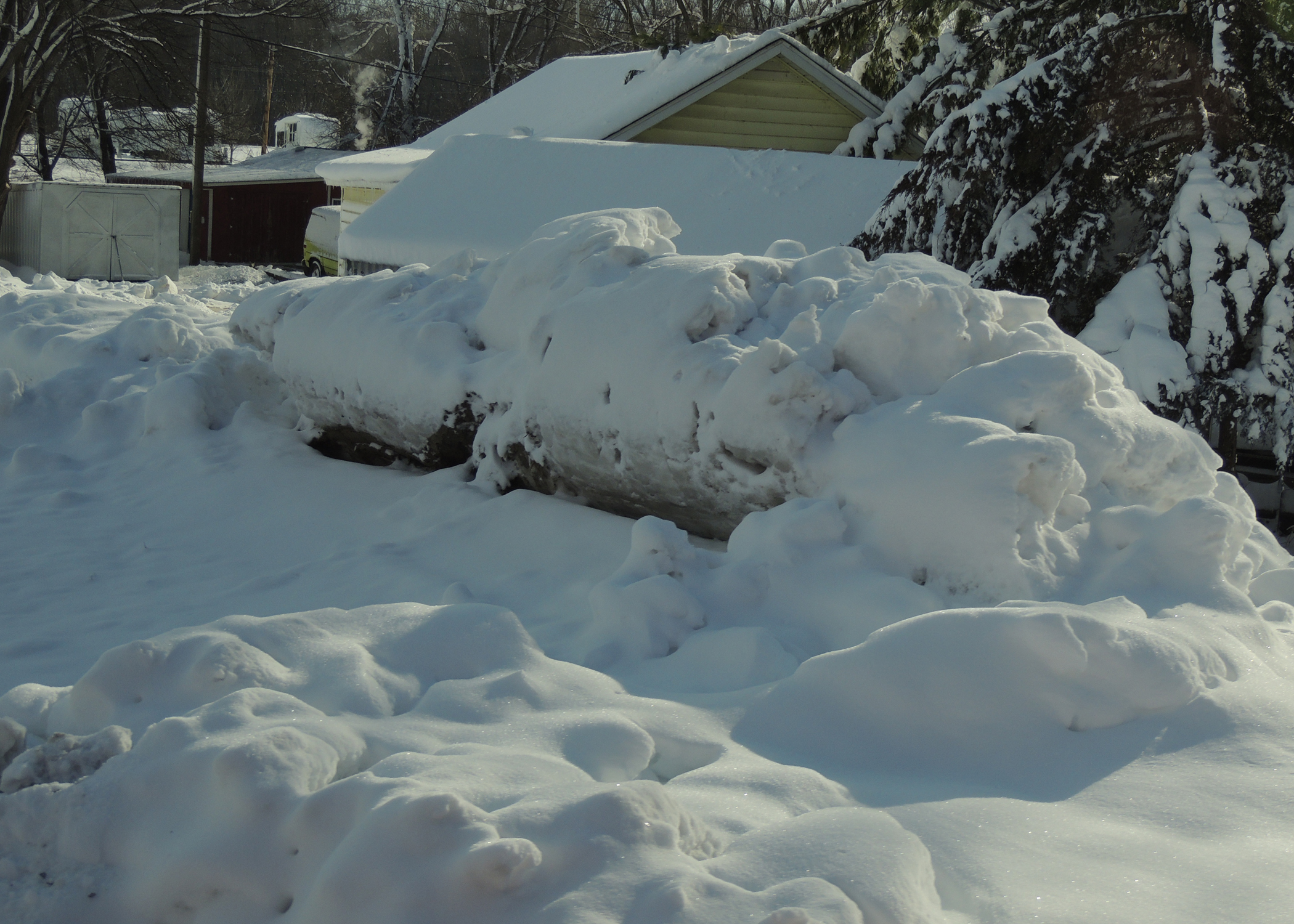
12/31/08 Iowa
Guttenburg IA 2005
Elkader Iowa, Clayton County IA

Islands in the Stream
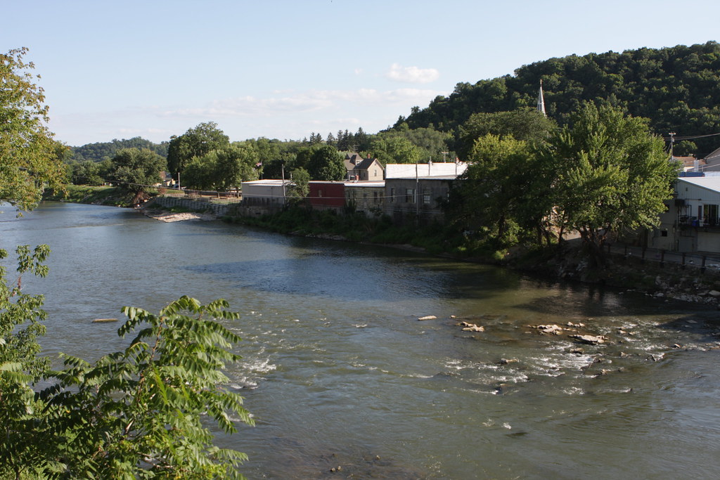
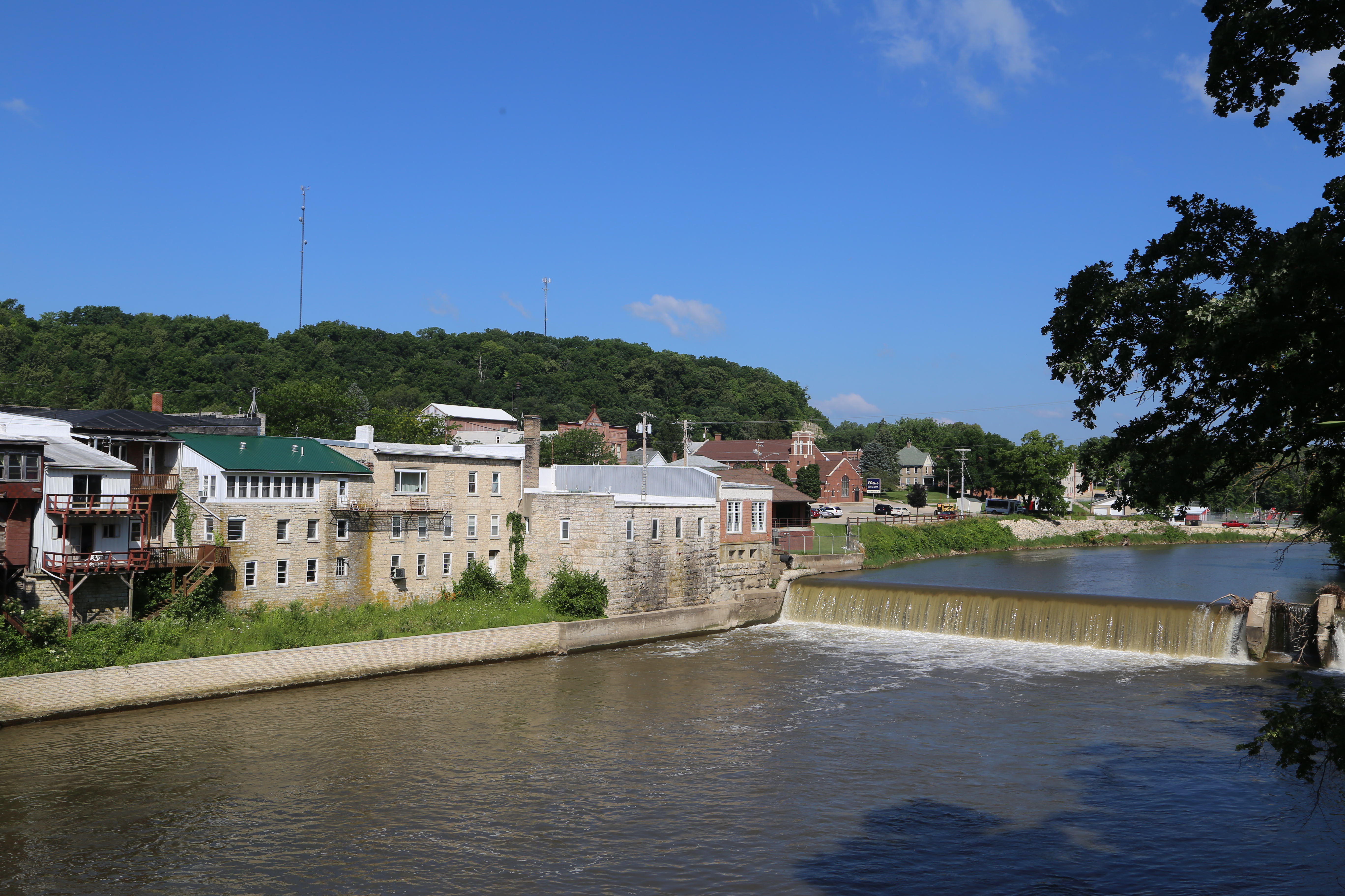
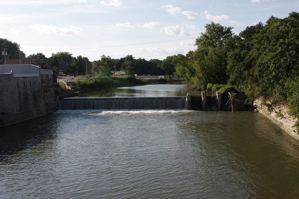
Turkey River through Elkader, Iowa
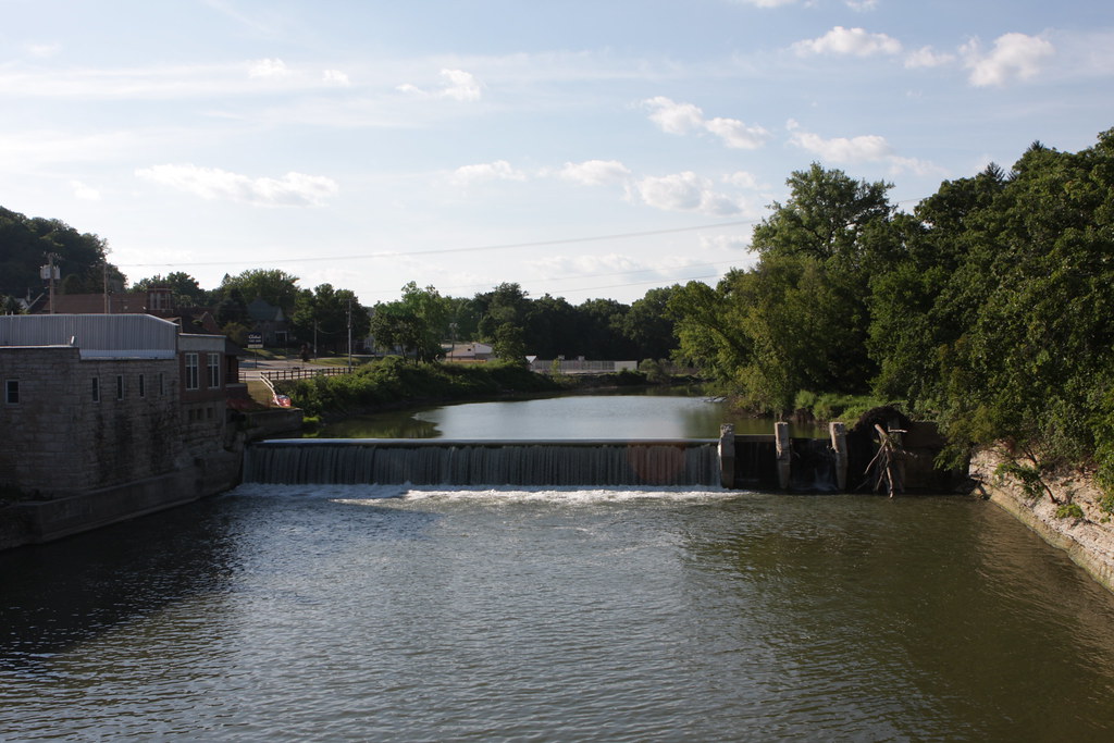
Turkey River through Elkader, Iowa
Turkey River through Elkader, Iowa
Topographic Map of Clayton County, IA, USA
Find elevation by address:

Places in Clayton County, IA, USA:
Lodomillo
Mendon
Jefferson
Boardman
Buena Vista
Monona
Read
Cass
US-18, McGregor, IA, USA
Farmersburg
Millville
Places near Clayton County, IA, USA:
Motor Mill Historic Site
Read
Jefferson
Elkader
N 1st St, Elkader, IA, USA
E Union St, Edgewood, IA, USA
Edgewood
37331 Mahogany Ave
Guttenberg
322 N River Park Dr
Main St, Guttenberg, IA, USA
37331 Mesquite Rd
113 Abel Dr
37856 Graham Rd
36856 Graham Rd
Farmersburg
16749 Us-52
16749 Us-52
Jackley Ln, Bagley, WI, USA
US-18, McGregor, IA, USA
Recent Searches:
- Elevation of Corso Fratelli Cairoli, 35, Macerata MC, Italy
- Elevation of Tallevast Rd, Sarasota, FL, USA
- Elevation of 4th St E, Sonoma, CA, USA
- Elevation of Black Hollow Rd, Pennsdale, PA, USA
- Elevation of Oakland Ave, Williamsport, PA, USA
- Elevation of Pedrógão Grande, Portugal
- Elevation of Klee Dr, Martinsburg, WV, USA
- Elevation of Via Roma, Pieranica CR, Italy
- Elevation of Tavkvetili Mountain, Georgia
- Elevation of Hartfords Bluff Cir, Mt Pleasant, SC, USA