Elevation of Marlinton, WV, USA

Location: United States > West Virginia > Pocahontas County > Edray >

Longitude: -80.094509

Latitude: 38.2234533

Elevation: 648m / 2126feet

Barometric Pressure: 94KPa

Elevation Map:

elevation map of Marlinton, WV, USA
Satellite Map:

Satellite map of Marlinton, WV, USA
Related Photos:

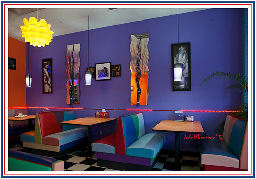
october restaurants westvirginia 2012 snakshak pocahontascounty marlinton buildinginteriors canon24105l retrodecor october2012
Back to the '50s
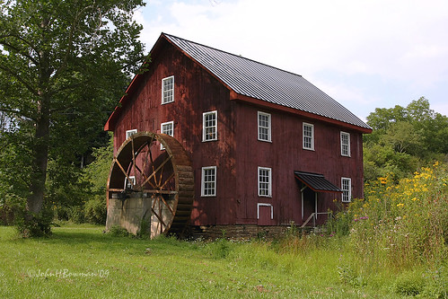
august westvirginia mills weatheredwood 2009 pocahontascounty nrhp canon24105l mcneelmill
McNeel Mill, front - West Virginia
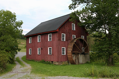
august westvirginia mills weatheredwood 2009 pocahontascounty nrhp canon24105l mcneelmill
McNeel Mill, rear - West Virginia
old trees light red orange moon house art halloween window farmhouse photoshop dark geotagged big decay digitalart surreal haunted creepy computerart aw allrightsreserved redrum bloodmoon photoshopart bloodred rcvernors wowiekazowie bloodredmoon collectivedreamjournal pickyourpoisonchallenges thechallengefactory ayresmi copyright©rickchildersdigitalmedia2007allrightsreserved
Blood Red Moon
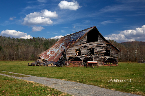
october barns oldbarns westvirginia weatheredwood tinroof 2012 rustyandcrusty mountainviews pocahontascounty greatskies canon24105l derelictbarns october2012
Barn, Beyond Revival
wv westvirginia mustache swag marlinton roadkillfestival
#70s_swag
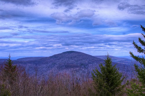
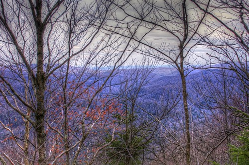
winter snow mountains scenery wv hdr highlandscenichighway pentaxk7
A View from Black Mountain in February
moon lake night geotagged westvirginia geo:lat=38305429 geo:lon=7994339
IMG_1525.JPG
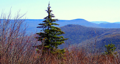
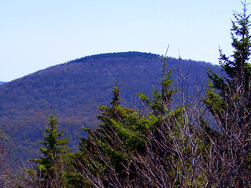
mountains spring scenery wv hdr highlandscenichighway pentaxk7
A View from Black Mountain in Spring
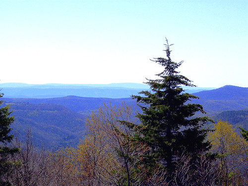
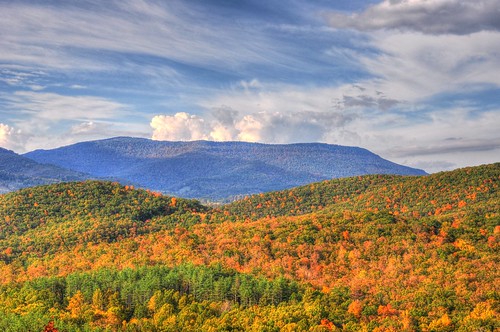
mountains nature forest landscape geotagged spring highlands high highway scenery view altitude scenic wv pines national westvirginia vista overlook pocahontas monongahela monongahelanationalforest pocahontascounty blackbearmountain rcvernors
A view from the top
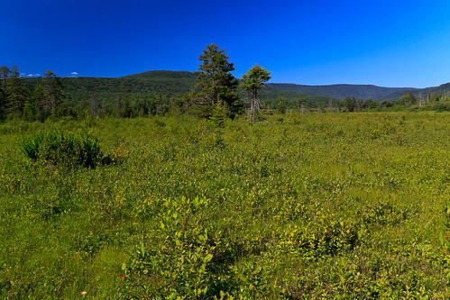
westvirginia bog scenicviews monongahelanationalforest cranberryglades
Cranberry Glades Botanical Area
bear mountains west nature forest wonderful landscape geotagged spring highlands high highway scenery view altitude scenic wv pines national vista overlook pocahontas monongahela “black highway” “west county” mountain” “wild forest” rcvernors virginia” “highlands “monongahela “pocahontas
A view from the top
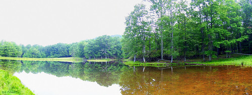
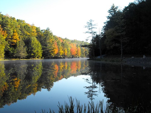
lake reflection tree water landscape pond woods scenery panoramic wv westvirginia woodrow pocahontascounty rcvernors
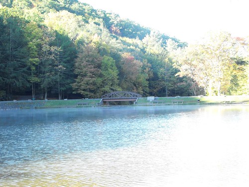
Panoramic Pond
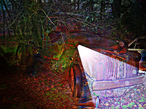
old photoshop altered truck dark geotagged one digitalart rusty computerart modified headlight allrightsreserved photoshopart rcvernors
One Headlight
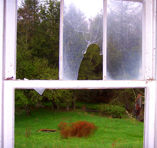
old house mountains abandoned broken window glass rural geotagged gloomy decay farm panes sharp wv rainy westvirginia woodrow pocahontascounty wildwonderfulwestvirginia rcvernors
View From The Kitchen Sink
trees mountains nature forest spring scenery wv vista wilderness hdr monongahelanationalforest
Beyond the Red-bud
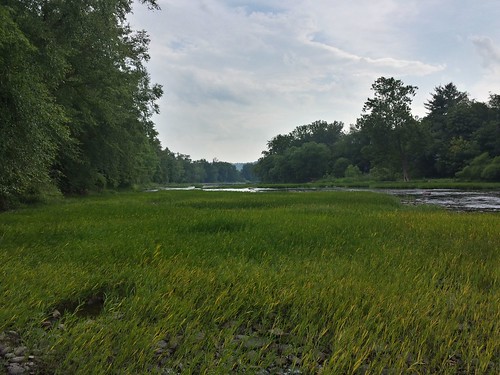
county bridge autumn trees reflection fall water leaves bike bicycle river bicycling path trail wv westvirginia pocahontas railstotrails conservancy grt railtrail greenbrierrivertrail watoga
View of the Greenbrier River from the Watoga Bridge
bear mountains west nature forest wonderful landscape geotagged spring highlands high highway scenery view altitude scenic wv pines national vista overlook pocahontas monongahela “black highway” “west county” mountain” “wild forest” rcvernors virginia” “highlands “monongahela “pocahontas
A view from the top
county geotagged cabin wv pocahontas rcvernors
The View From The Cabin's Bathroom
county west mill point virginia photo pentax picture places structure historic wv national register pocahontas mcneel k10d 3089ed1
McNeel Mill -- Rear view
westvirginia greenbrier
View of the Greenbrier River
Break Thru
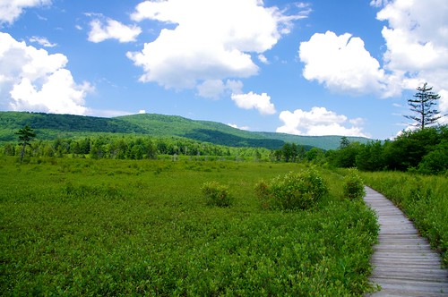
wv boardwalk monongahelanationalforest cranberryglades
Cranberry Glades in West Virginia
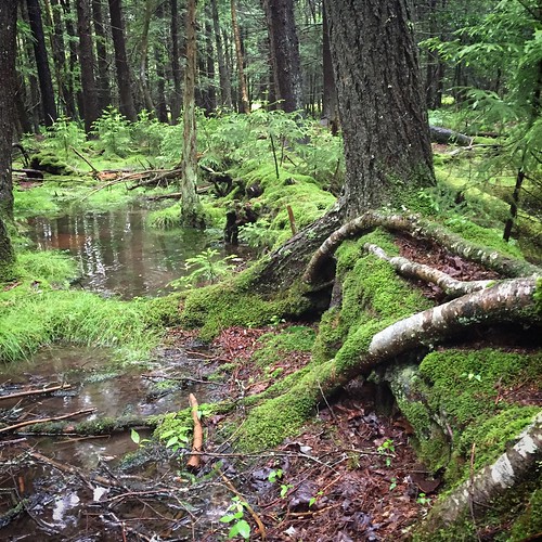
west forest virginia moss highlands woods flooding wv lush mossy pocahontas decayingtree iphone6
Tree Upon Fallen Tree
panorama wv hdr pocahontascounty photomatixpro cranberrybackcountry panoedit pentaxk3
Cranberry Back Country along the Cow Pasture Trail
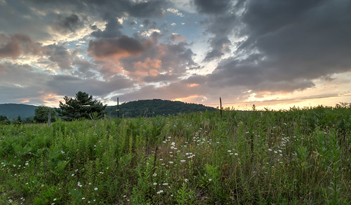
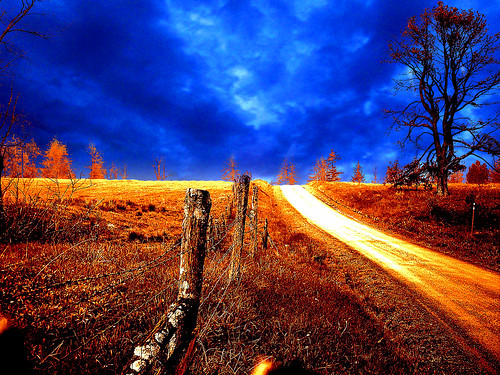
orange art field clouds digital photoshop altered landscape geotagged golden scenery digitalart surreal wv westvirginia computerart modified aw allrightsreserved photoshopart artisticexpression pocahontascounty rcvernors abigfave woodrowwv
Golden Daze
DSCF0001.JPG
DSCF0002.JPG
camping westvirginia firetower senecastateforest nationalradioquietzone
Dirt Road Hills
Highland Scenic Highway WV - 2016-05-28 (4)
Seneca State Forest WV - 2016-05-28 (10)
county morning horse mist west fog virginia photo pentax picture wv pocahontas marlinton k10d 3041ed1
Horses in the fog
day cloudy ngc npc pwfall
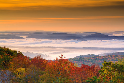
Sunrise Fog Over Marlinton
Highland Scenic Highway WV - 2016-05-28 (74)
Highland Scenic Highway WV - 2016-05-28 (46)
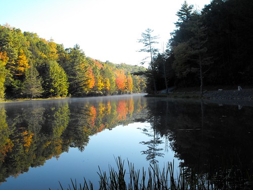
mist lake geotagged westvirginia geo:lat=38305564 geo:lon=79943047
IMG_1528.JPG
red mountains field clouds barn sunrise pond fences scene
West Virginia Dawn
trip morning light vacation tree sunshine fog pine forest landscape geotagged moss woods scenery wv westvirginia soe aw allrightsreserved johndenver pocahontascounty rcvernors
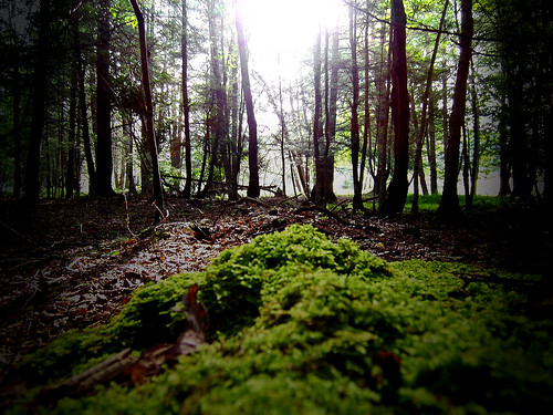
Sunshine On My Shoulder Makes Me Happy
tree forest geotagged westvirginia hollow geo:lat=3830537 geo:lon=79943449
DSC_9563.JPG
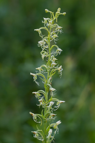
Ragged Fringed Orchid
Seneca State Forest WV - 2016-05-28 (16)
DSCF0012.JPG