Elevation of Locust Hill Inn, Cabin and Pub, Locust Hill, Marlinton, WV, USA

Location: United States > West Virginia > Pocahontas County > Edray > Marlinton >

Longitude: -80.081888

Latitude: 38.219031

Elevation: 677m / 2221feet

Barometric Pressure: 93KPa

Elevation Map:

elevation map of Locust Hill Inn, Cabin and Pub, Locust Hill, Marlinton, WV, USA
Satellite Map:

Satellite map of Locust Hill Inn, Cabin and Pub, Locust Hill, Marlinton, WV, USA

Related Photos:

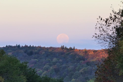
photosbymch landscape moonset sunrise mountains littlelaureloverlook highlandscenichighway monongahelanationalforest westvirginia usa canon 5dmkiii 2016 fullmoon fallcolors autumn outdoors fall
Moonset over the Fall Colors from Little Laurel
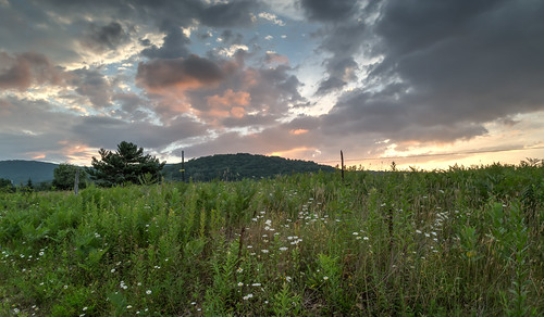
photosbymch landscape sunset longexposure mountains monongahelanationalforest highlandscenichighway westvirginia usa canon 5dmkiv 2017 fall autumn outdoors surreal goldenhour clouds
Sunset Over Scenic West Virginia
Fall In Full Swing
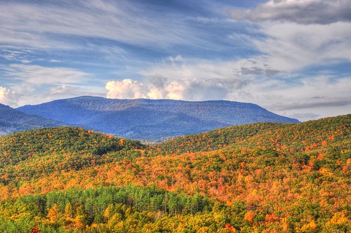
panorama landscape wv hdr pocahontascounty hdrextremes hdrlandscape pentaxk3
A View from WV's Highland Scenic Highway
old trees light red orange moon house art halloween window farmhouse photoshop dark geotagged big decay digitalart surreal haunted creepy computerart aw allrightsreserved redrum bloodmoon photoshopart bloodred rcvernors wowiekazowie bloodredmoon collectivedreamjournal pickyourpoisonchallenges thechallengefactory ayresmi copyright©rickchildersdigitalmedia2007allrightsreserved
Blood Red Moon
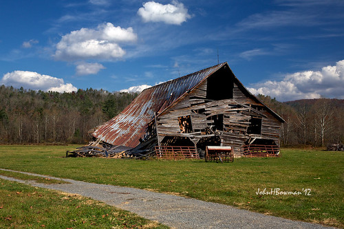
october barns oldbarns westvirginia weatheredwood tinroof 2012 rustyandcrusty mountainviews pocahontascounty greatskies canon24105l derelictbarns october2012
Barn, Beyond Revival
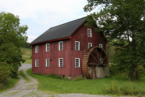
westvirginia pocahontascounty mills mcneelmill nrhp waterwheels weatheredwood august2009 august 2009 canon24105l
McNeel Mill, rear - West Virginia
october restaurants westvirginia 2012 snakshak pocahontascounty marlinton buildinginteriors canon24105l retrodecor october2012
Back to the '50s
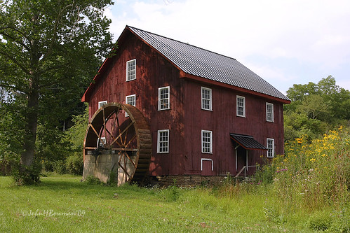
westvirginia pocahontascounty mills mcneelmill nrhp waterwheels weatheredwood august2009 august 2009 canon24105l
McNeel Mill, front - West Virginia
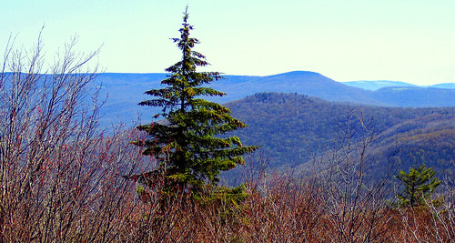
mountains nature forest landscape geotagged spring highlands high highway scenery view altitude scenic wv pines national westvirginia vista overlook pocahontas monongahela monongahelanationalforest pocahontascounty blackbearmountain rcvernors
A view from the top
mountains spring scenery wv hdr highlandscenichighway pentaxk7
A View from Black Mountain in Spring
bear mountains west nature forest wonderful landscape geotagged spring highlands high highway scenery view altitude scenic wv pines national vista overlook pocahontas monongahela “black highway” “west county” mountain” “wild forest” rcvernors virginia” “highlands “monongahela “pocahontas
A view from the top
winter snow mountains scenery wv hdr highlandscenichighway pentaxk7
A View from Black Mountain in February
old photoshop altered truck dark geotagged one digitalart rusty computerart modified headlight allrightsreserved photoshopart rcvernors
One Headlight
trees mountains nature forest spring scenery wv vista wilderness hdr monongahelanationalforest
Beyond the Red-bud
bear mountains west nature forest wonderful landscape geotagged spring highlands high highway scenery view altitude scenic wv pines national vista overlook pocahontas monongahela “black highway” “west county” mountain” “wild forest” rcvernors virginia” “highlands “monongahela “pocahontas
A view from the top
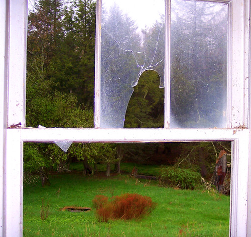
old house mountains abandoned broken window glass rural geotagged gloomy decay farm panes sharp wv rainy westvirginia woodrow pocahontascounty wildwonderfulwestvirginia rcvernors
View From The Kitchen Sink
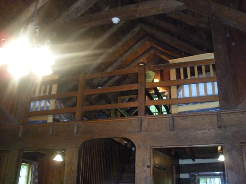
cabin westvirginia ccc civilianconservationcorps cabin7 watoga
Loft, Watoga Cabin #7 (2237)
bear mountains west nature forest wonderful landscape geotagged spring highlands high highway scenery view altitude scenic wv pines national vista overlook pocahontas monongahela “black highway” “west county” mountain” “wild forest” rcvernors virginia” “highlands “monongahela “pocahontas
A view from the top
road flowers house abandoned nature farmhouse landscape scenery pavement decay low pointofview wv westvirginia wildflower ruraldecay woodrow blacktop pocahontascounty
In The Road
county geotagged cabin wv pocahontas rcvernors
The View From The Cabin's Bathroom
westvirginia watogastatepark pocahontascounty kayak reflection autumn fall trees
Watoga State Park
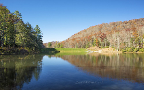
outdoor november lake fall autumn hills trees reflection sky serene scenic westvirginia watogastatepark pocahontascounty
November at Watoga
overyonder rickchilders rcvernors wv westvirginia overlook mountains pocahontascountywv trees rural farms countryliving
Over Yonder
summer green wet clouds farmhouse wv rainy westvirginia summertime lush humid countryroads abandonedfarmhouse rcvernors woodrowwv rickchilders pocahontascountywv jordonroad highcountryfarmhouse woodrowunincorporated
High Country Farmhouse
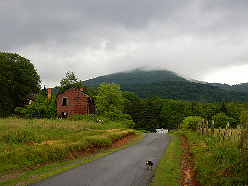
apocahontascountyroad rcvernors rickchilders pocahontascountywv raining rainy dreary flooding 20160621 oldfarmhouse oldfarm lavadascabin cloudy green lush wet wildwonderfulwestvirginia road countryroad mountains appalachianmountains wvhills
A Pocahontas County Road
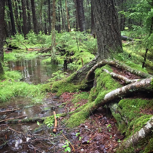
west forest virginia moss highlands woods flooding wv lush mossy pocahontas decayingtree iphone6
Tree Upon Fallen Tree
Break Thru
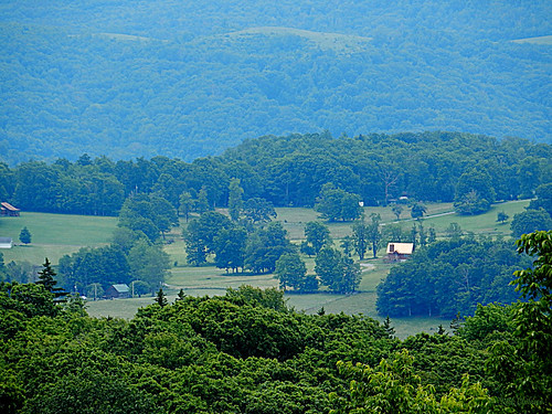
trees houses sunset sky panorama mountains color green nature yellow horizontal forest landscape outdoors countryside town us haze scenery warm day glow moody village unitedstates country scenic nobody hills westvirginia valley below overlook rectangle hillsboro highrock pocahontascounty marlinton
Down in the Valley
appalachia cranberryglades highlands highway150 us150 westvirginia autumn clouds color colorful day fall forest highland highway light nature outdoors pine rectangle road scenery scenic sky trees hillsboro unitedstates us
The Highland Scenic Highway in Autumn
orange art field clouds digital photoshop altered landscape geotagged golden scenery digitalart surreal wv westvirginia computerart modified aw allrightsreserved photoshopart artisticexpression pocahontascounty rcvernors abigfave woodrowwv
Golden Daze
panorama wv hdr pocahontascounty photomatixpro cranberrybackcountry panoedit pentaxk3
Cranberry Back Country along the Cow Pasture Trail
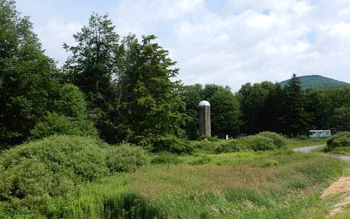
nocropsonthefarm rcvernors rickchilders silo farm abandonedfarm formersheepfarm pocahontascountywv westvirginia wv field weeds mobilehome mountaincabin highcountry jordonroad woodrowwv marlintonwv
No Crops On The Farm
day cloudy ngc npc pwfall
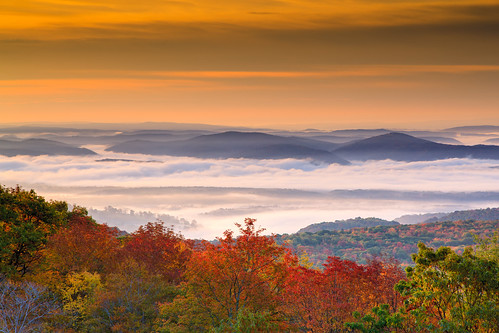
Sunrise Fog Over Marlinton
trip morning light vacation tree sunshine fog pine forest landscape geotagged moss woods scenery wv westvirginia soe aw allrightsreserved johndenver pocahontascounty rcvernors
Sunshine On My Shoulder Makes Me Happy
camping westvirginia firetower senecastateforest nationalradioquietzone
Dirt Road Hills
mountains tree silhouette forest fence matt landscape woods scenery rail nationalforest wv westvirginia split overlook aw monongahela almostheaven rcvernors highrocktrail
Highrock Trail Overlook
barn rural forest decay rusty hills ruraldecay briar tinroof fallingdown appalachianmountains oldbarn rustytin pocahontascounty ©allrightsreserved notmaintained photoshopenhanced rcvernors woodrowwv rickchilders boundfortheground jordonroad lensflarebyphotoshop
Bound For The Ground
usa grass barn rural cattle eveningsun farm country nationalforest wv westvirginia hay appalachianmountains almostheavenwestvirginia monongahelanationalforest wildwonderfulwestvirginia ©allrightsreserved rcvernors smallbarn woodrowwv rickchilders pocahontascountywv highlandfields
Highland Fields