Elevation of Gordon Dilley Road, Gordon Dilley Rd, Marlinton, WV, USA
Location: United States > West Virginia > Pocahontas County > Edray > Marlinton >
Longitude: -79.944663
Latitude: 38.2604949
Elevation: 837m / 2746feet
Barometric Pressure: 92KPa
Elevation Map:
Satellite Map:
Related Photos:
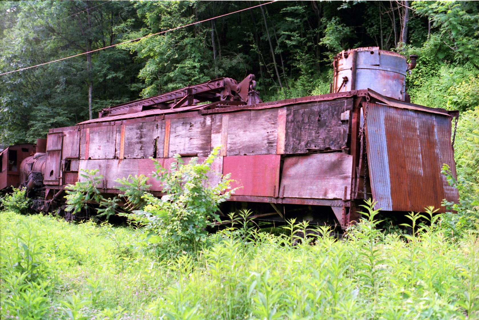
Steam Powered Log Skidder before restoration
#70s_swag

Back to the '50s
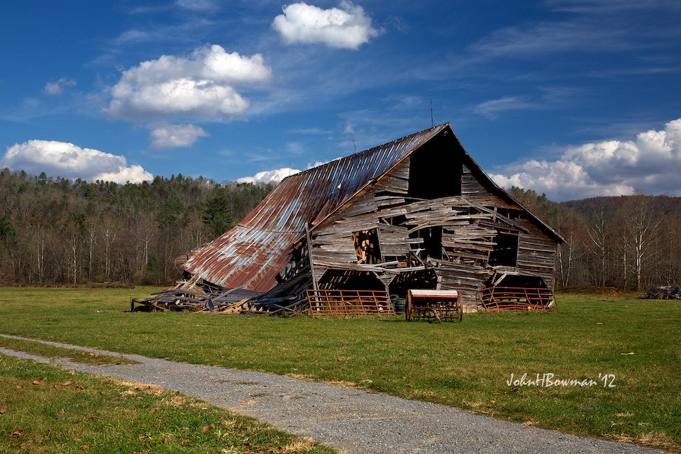
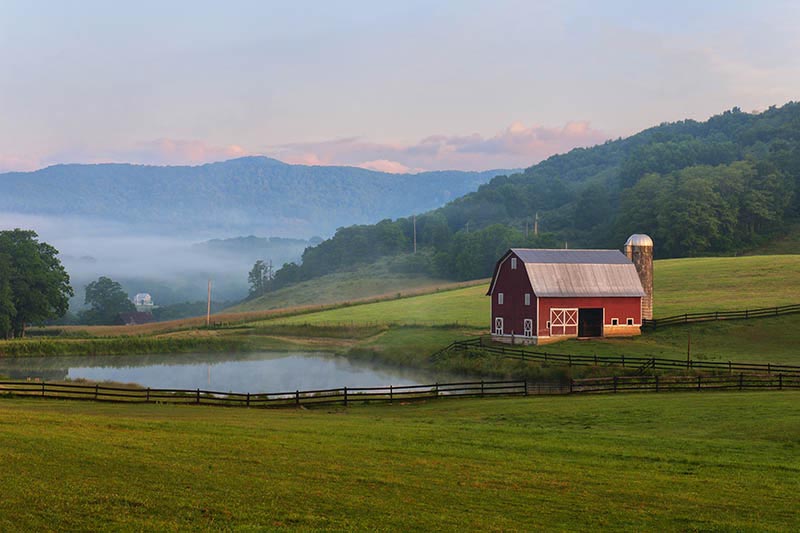
Barn, Beyond Revival

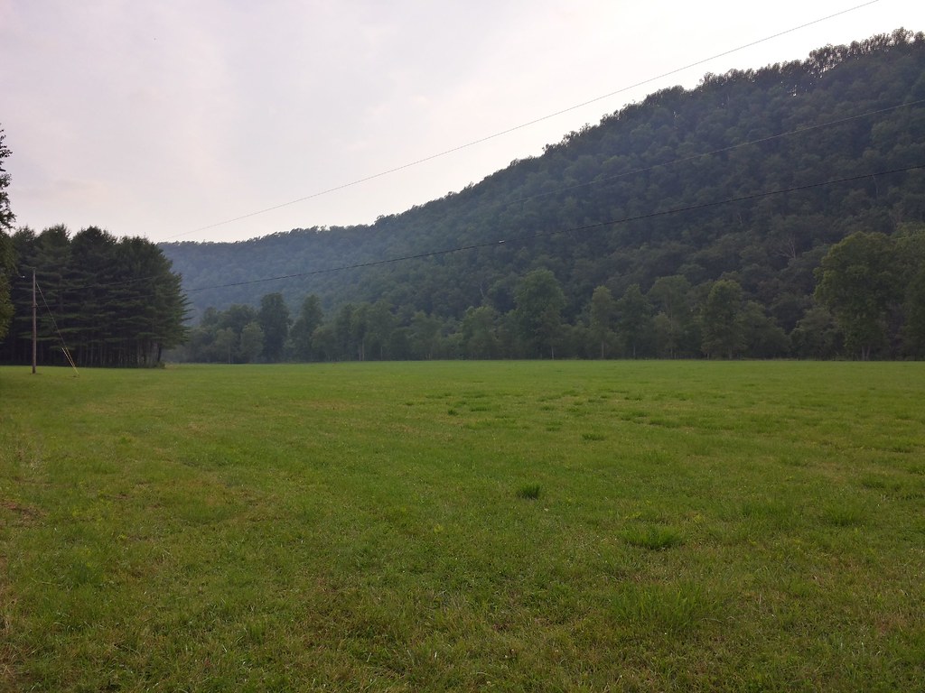
Scenic Extreme
CassRR-5186.jpg
IMG_1525.JPG

Pushing the load
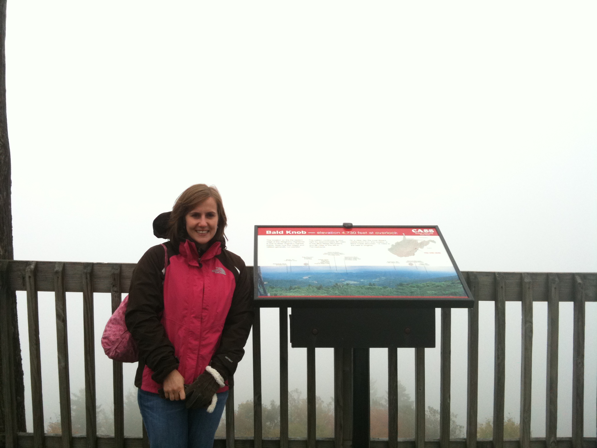
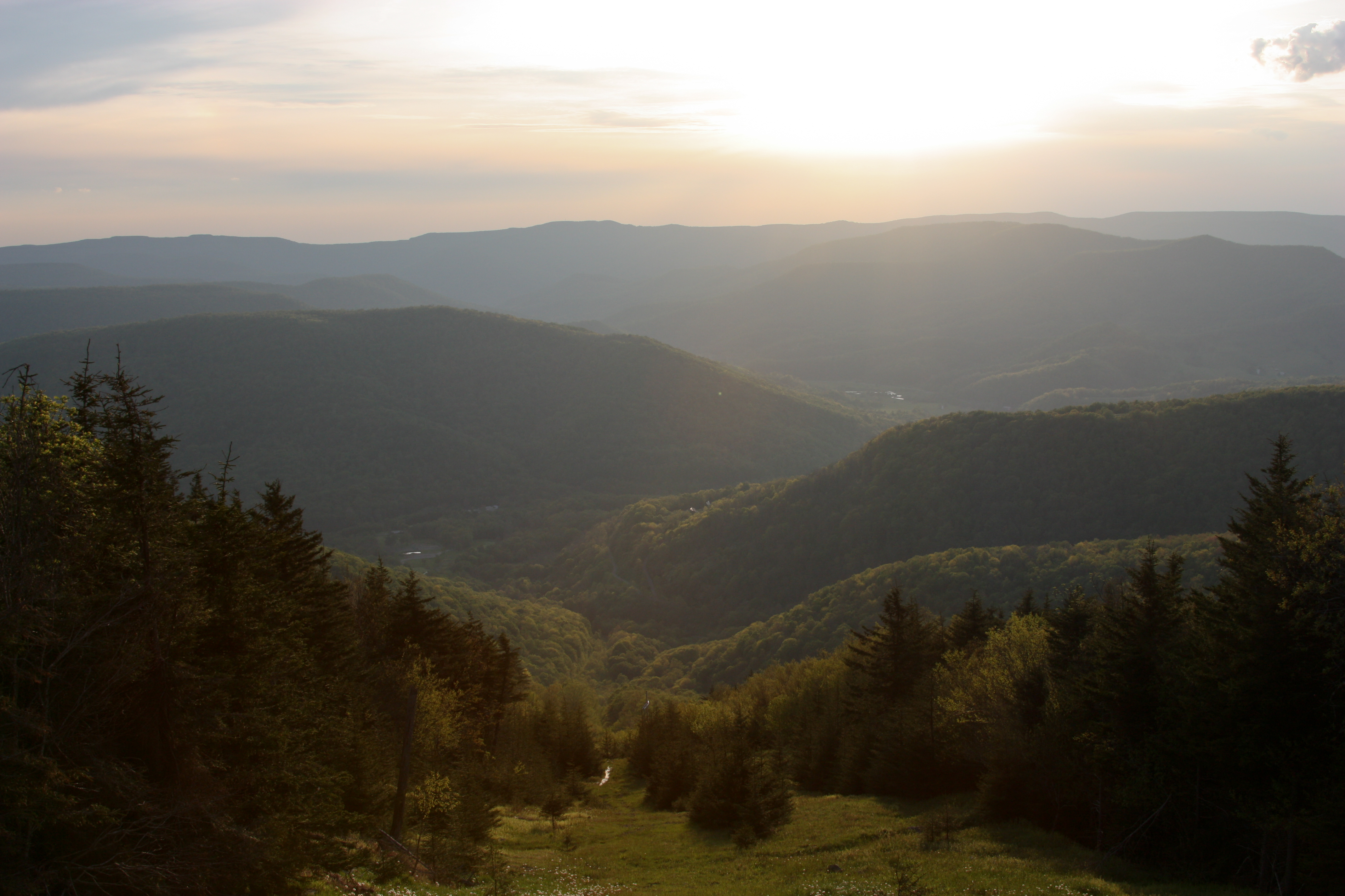
4010 View Near Bald Knob
3450 River View
A view from the Cab
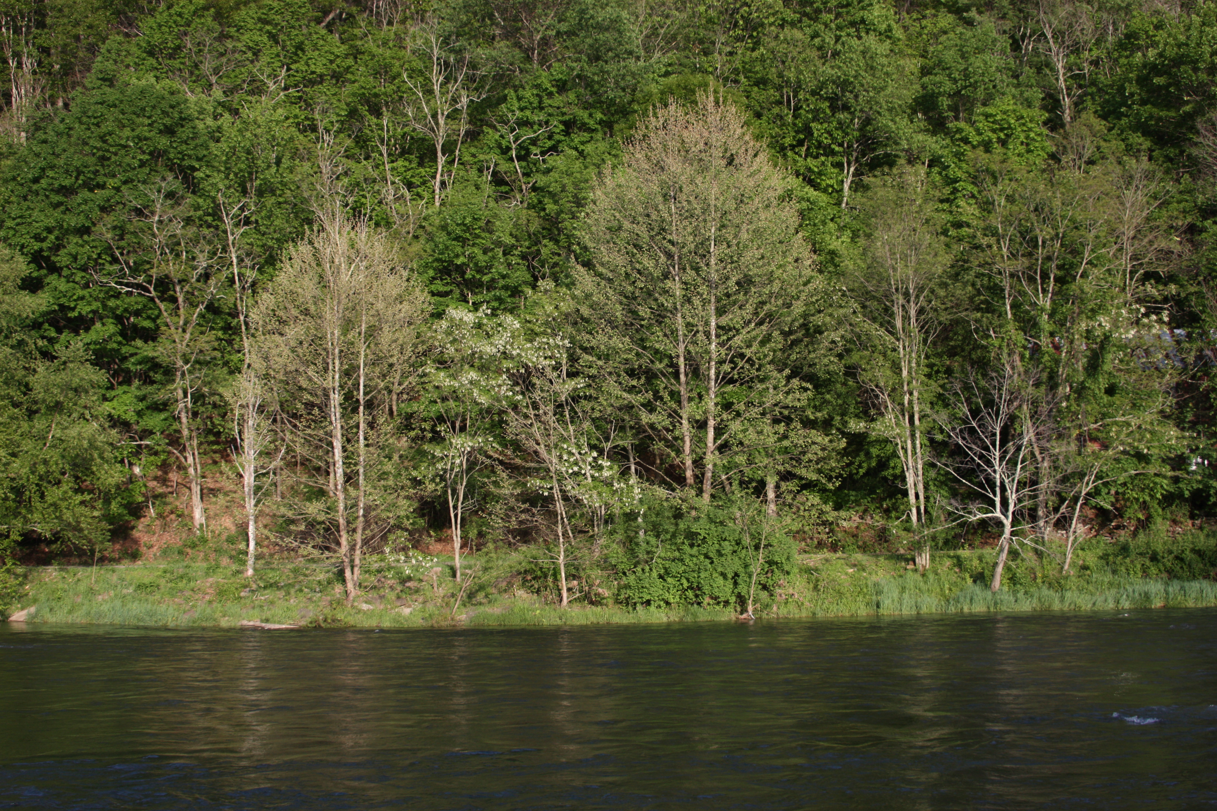
3510 River View

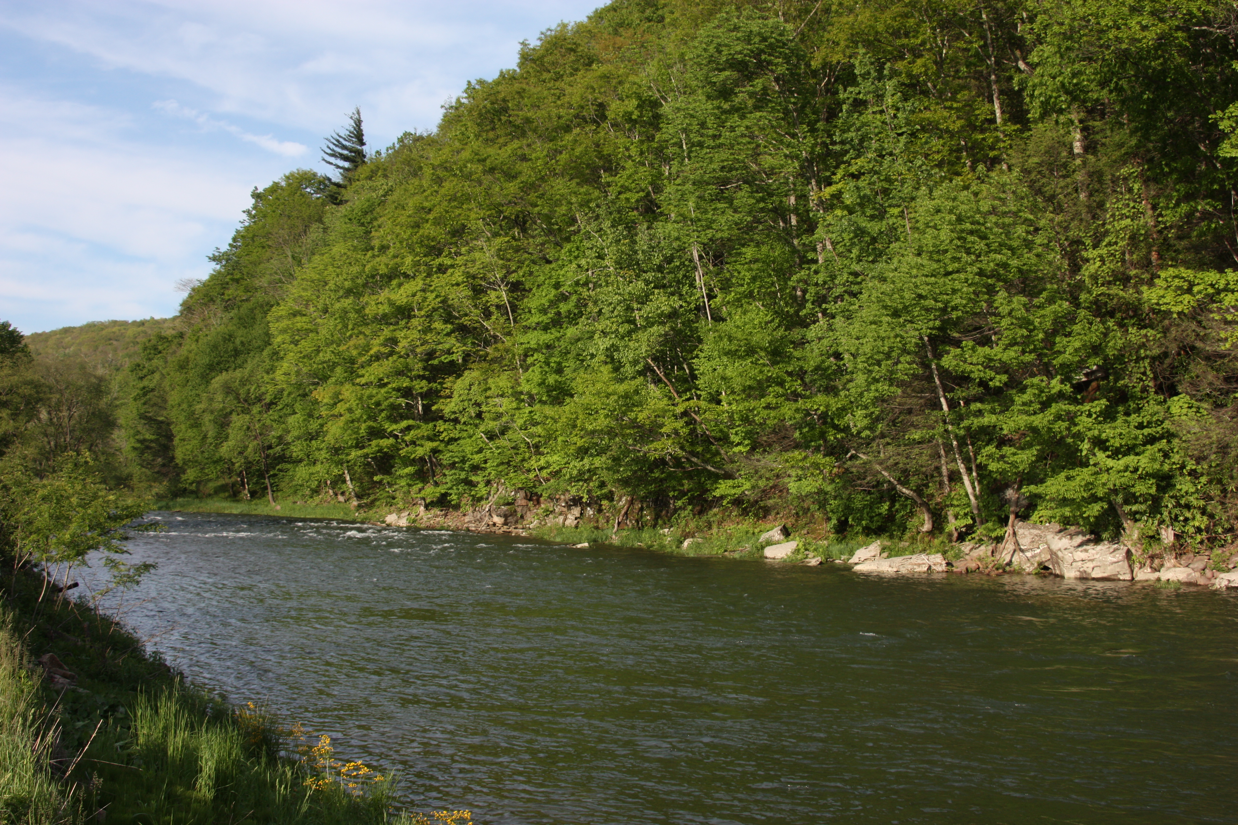
View of the Greenbrier River
3469 River View
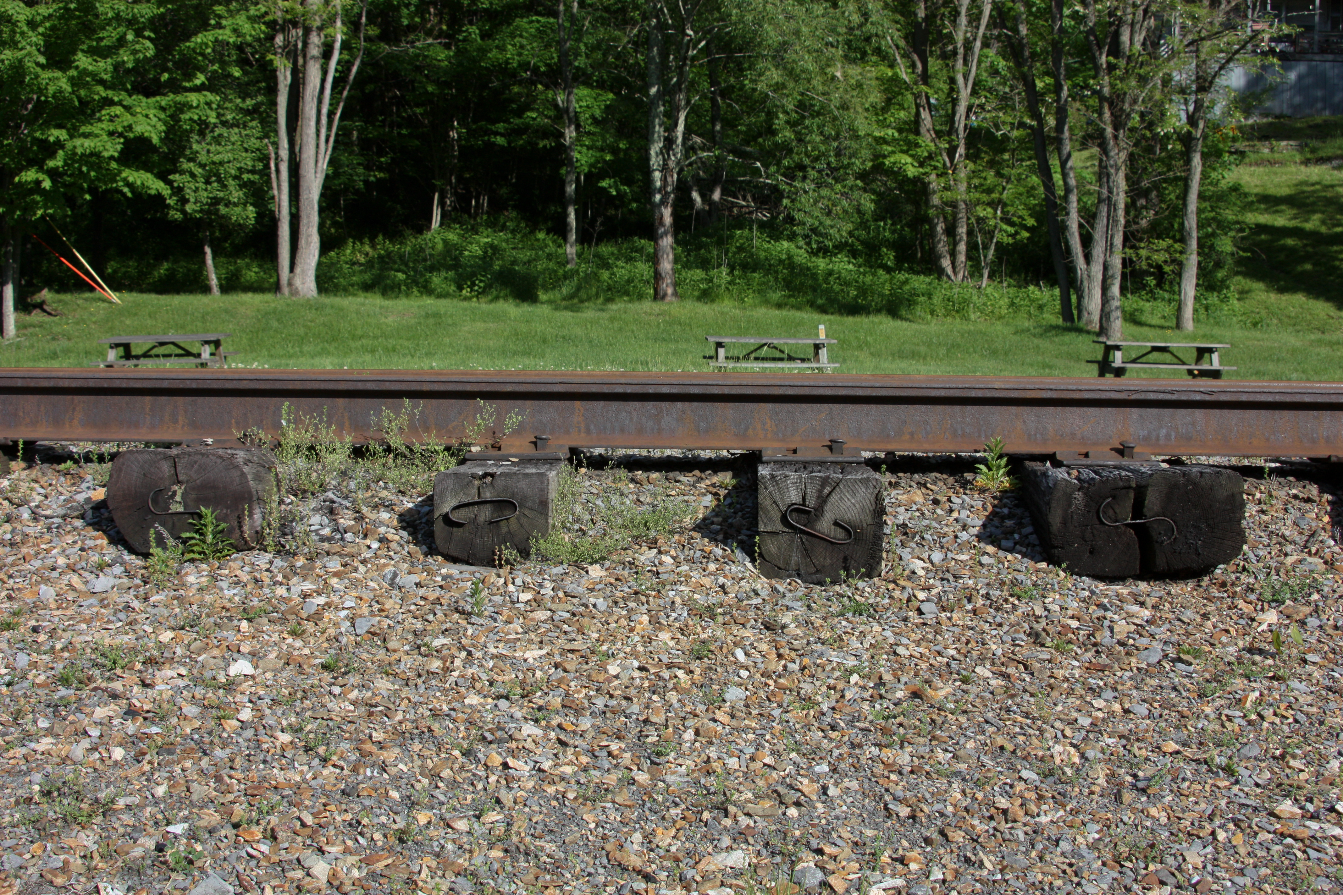
3628-1 Profile View of Rail
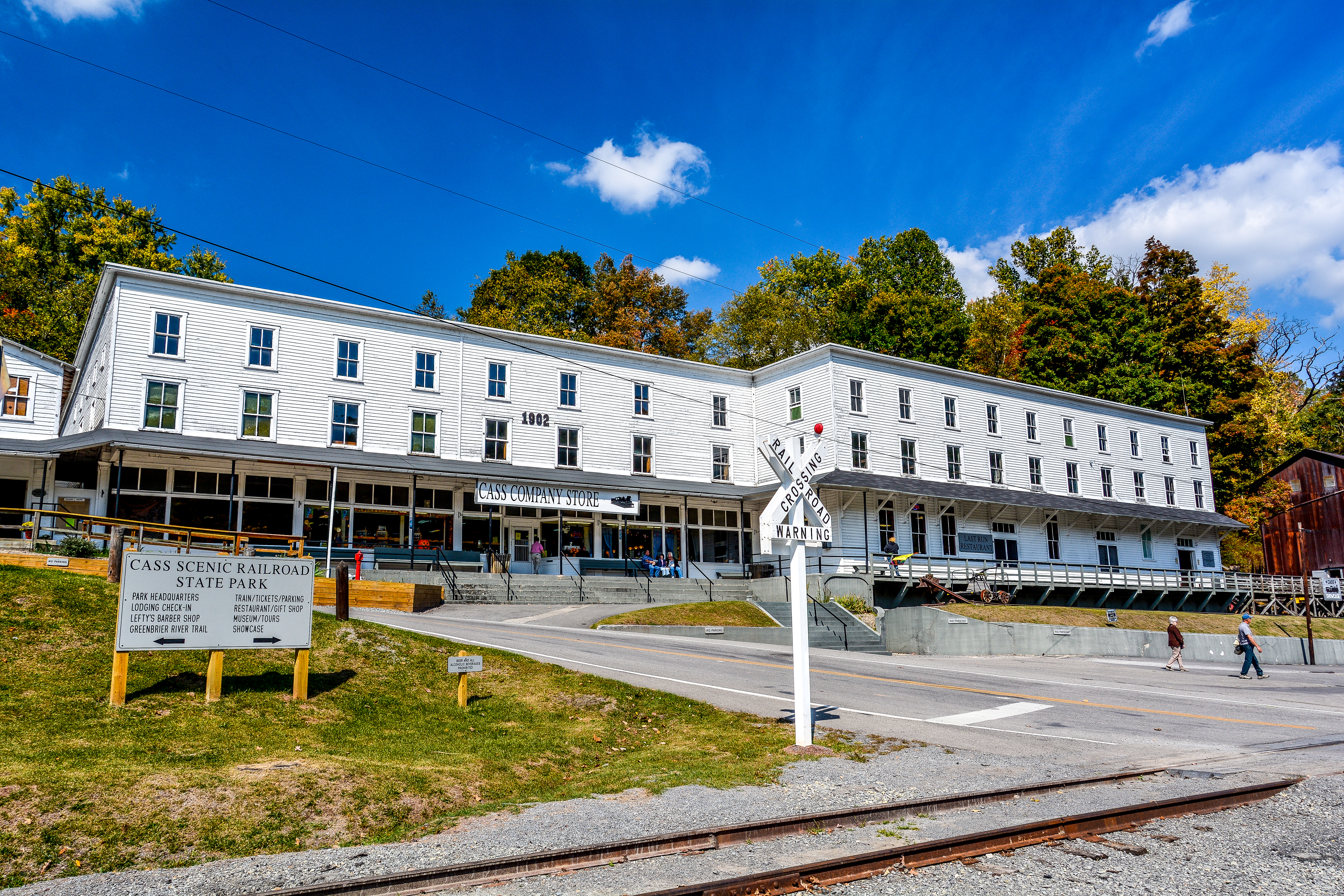
Cass Railroad
What a pretty view
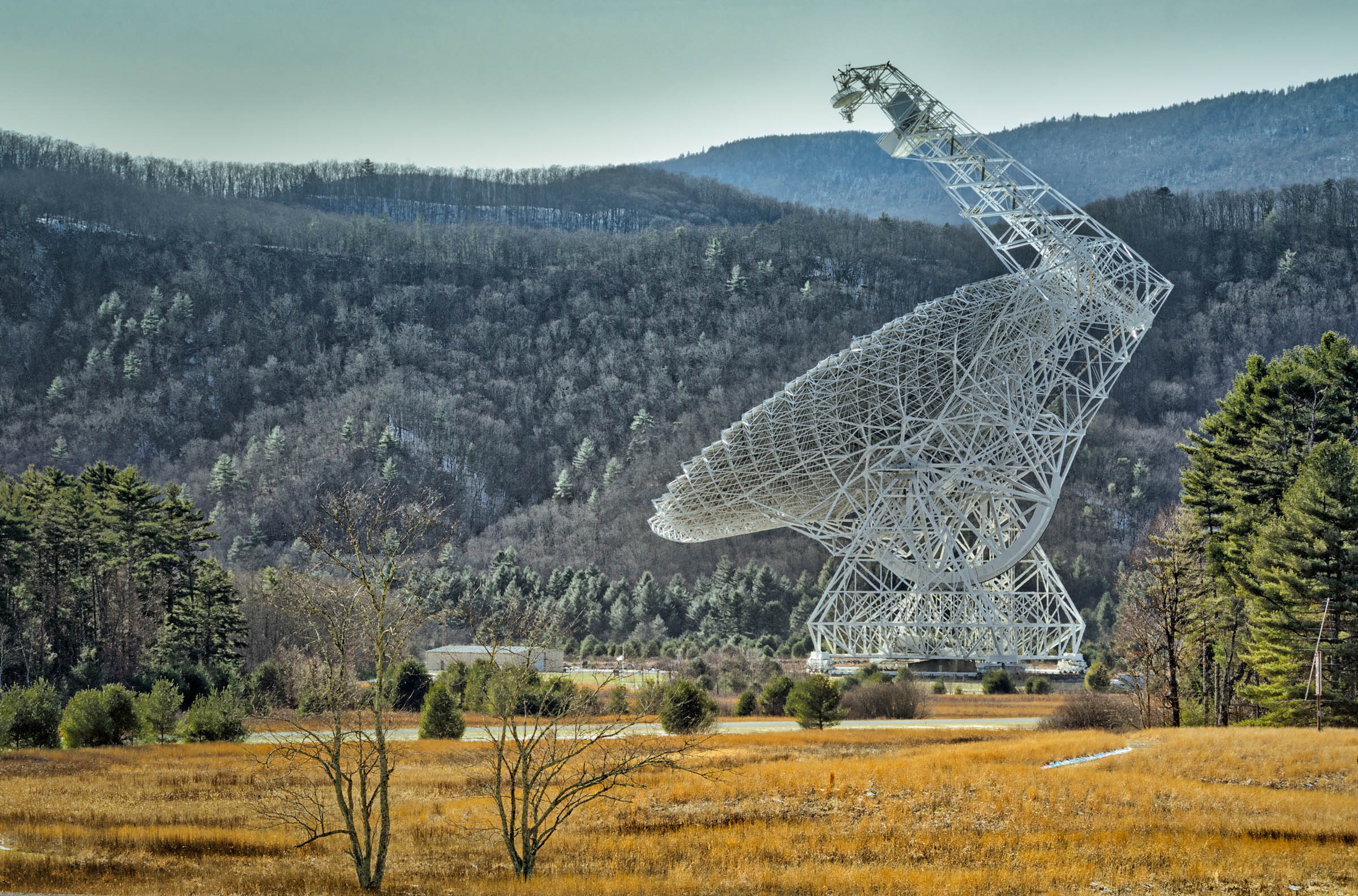
Late Winter Radio Signals
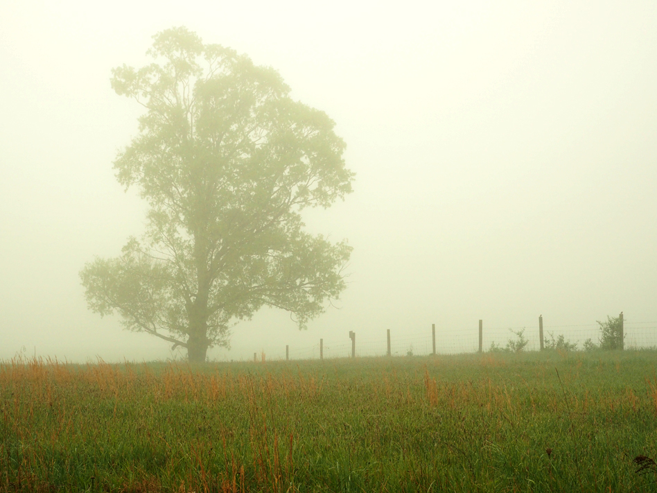
Photo Workshop -JOE 24

Of Long Ago
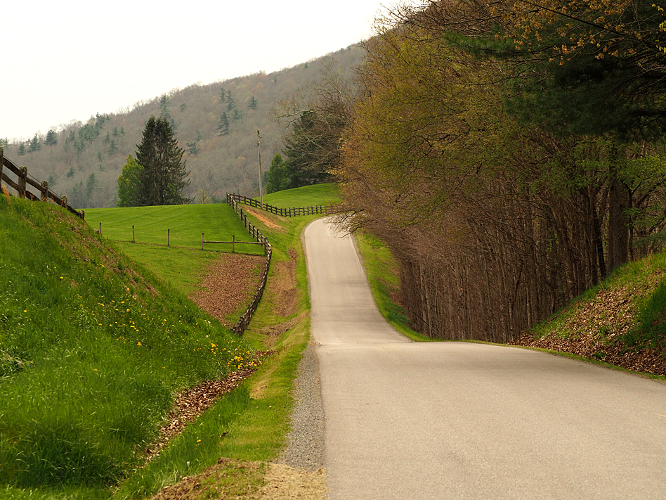
Photo Workshop -JOE 18

Photo Workshop -JOE 17
DSCF0002.JPG
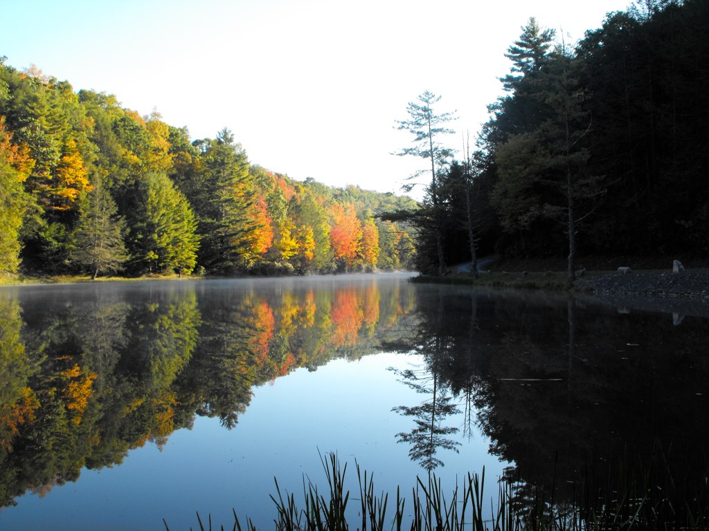
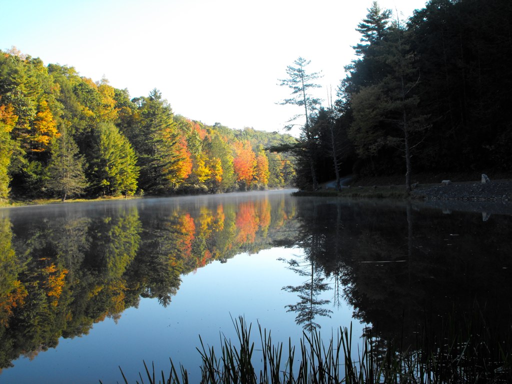
Sunrise Fog Over Marlinton
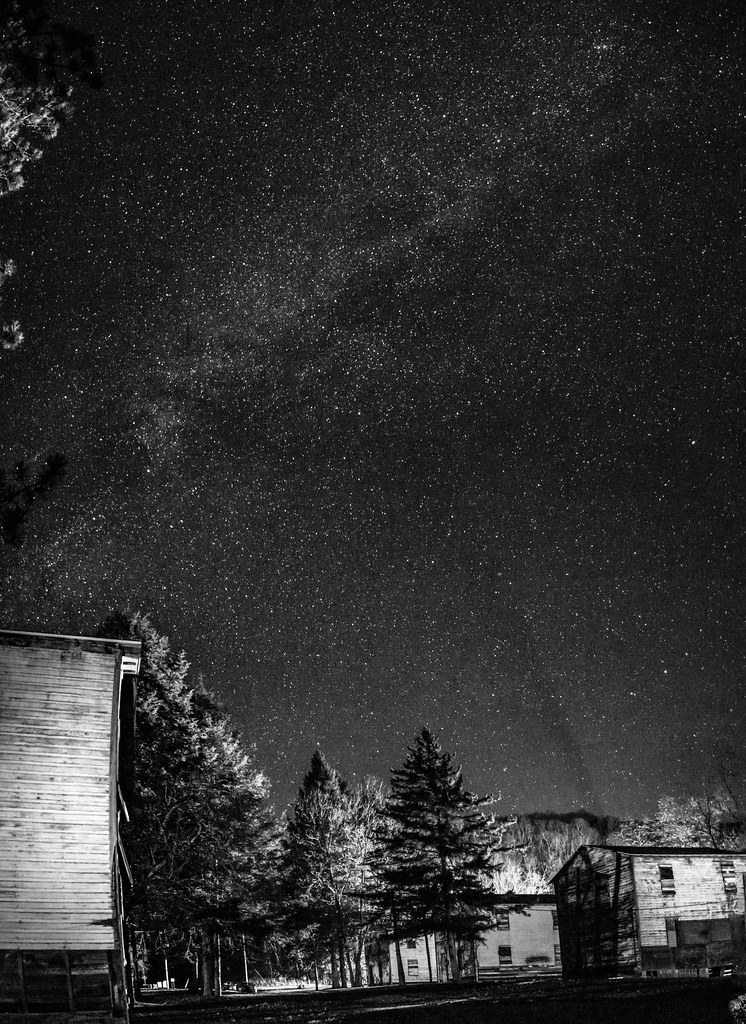
A Night Out in Slabtown
DSCF0001.JPG
Dirt Road Hills
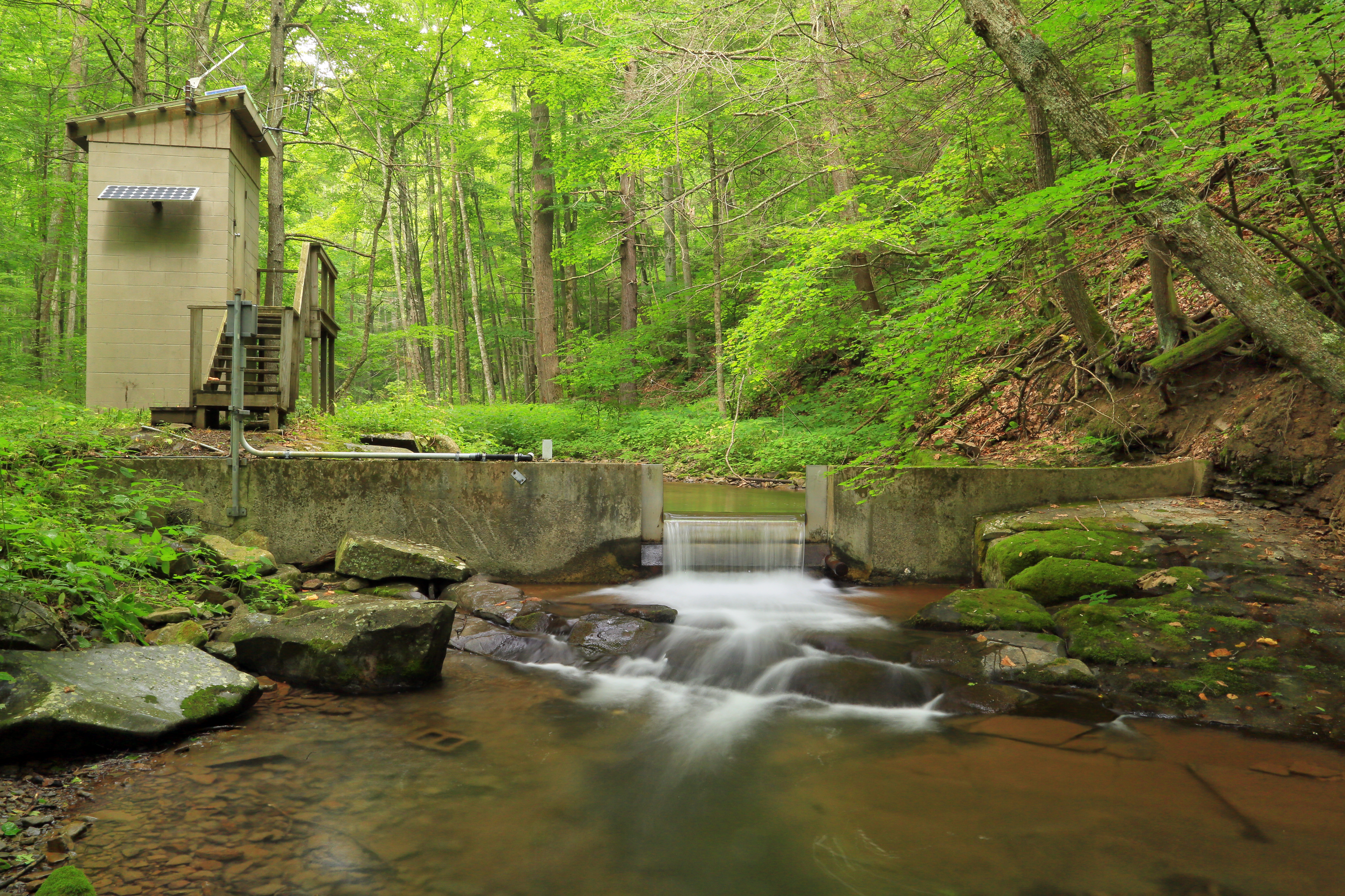
U.S. Geological Survey, Stream Gage, Little Back Creek, Little Mountain, George Washington National Forest, Bath County, Virginia 2

Seneca State Forest WV - 2016-05-28 (10)
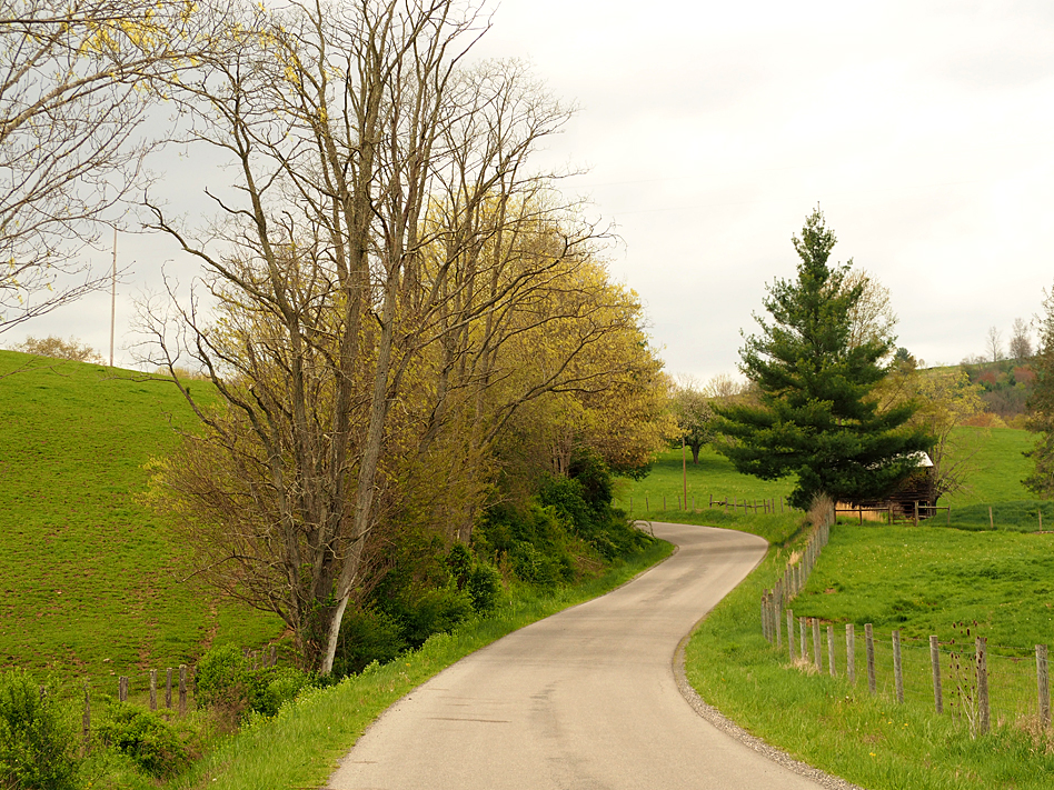
Photo Workshop -JOE 20
DSC_9563.JPG
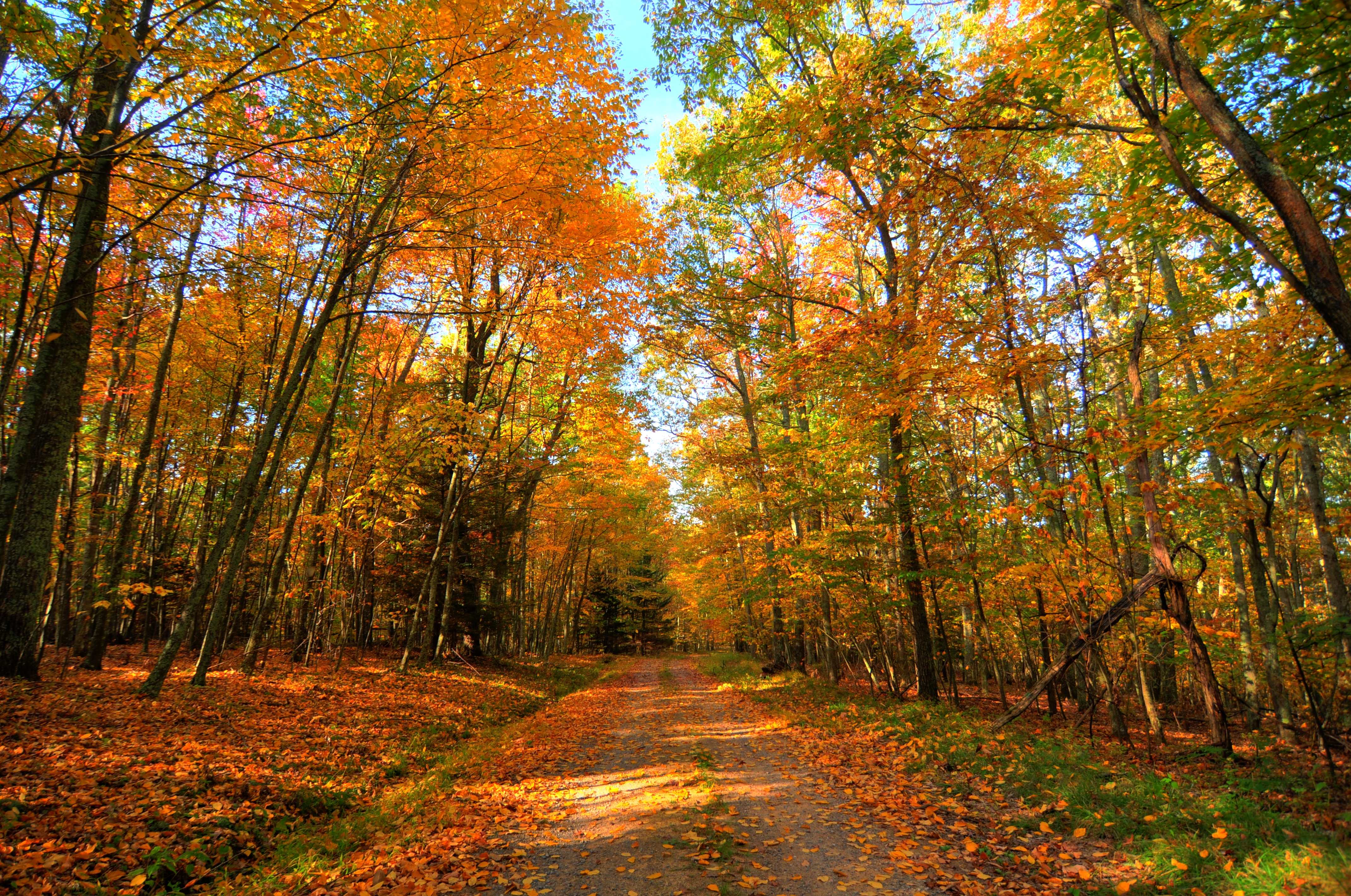
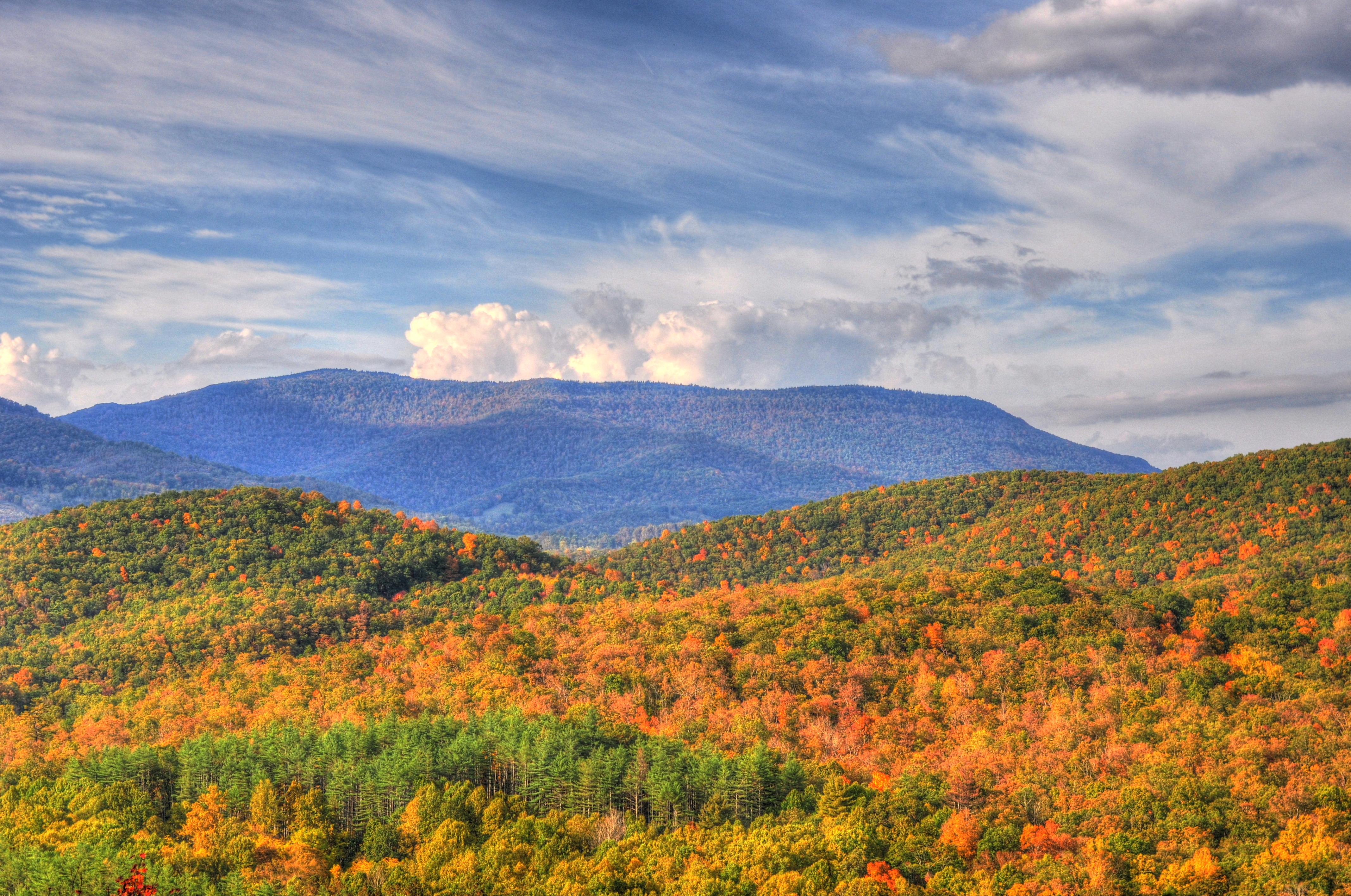
Fall in West Virginia
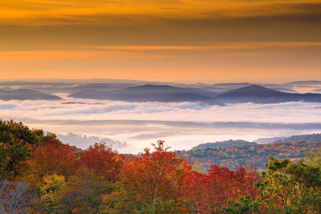
West Virginia Dawn
IMG_1528.JPG
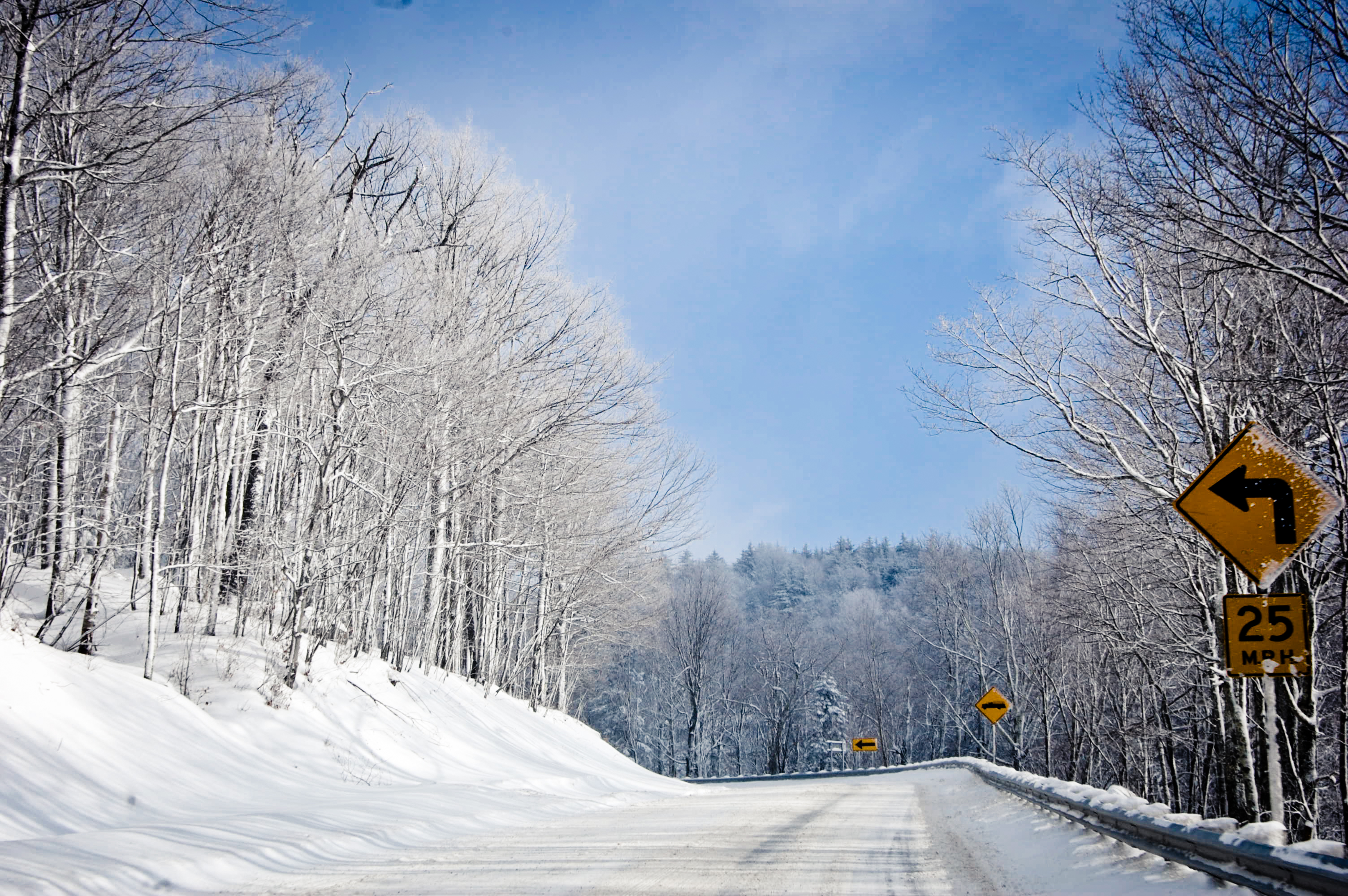
Road to Showshoe

Seneca State Forest WV - 2016-05-28 (16)
3569-1 Sunset on Snowshoe Mountain

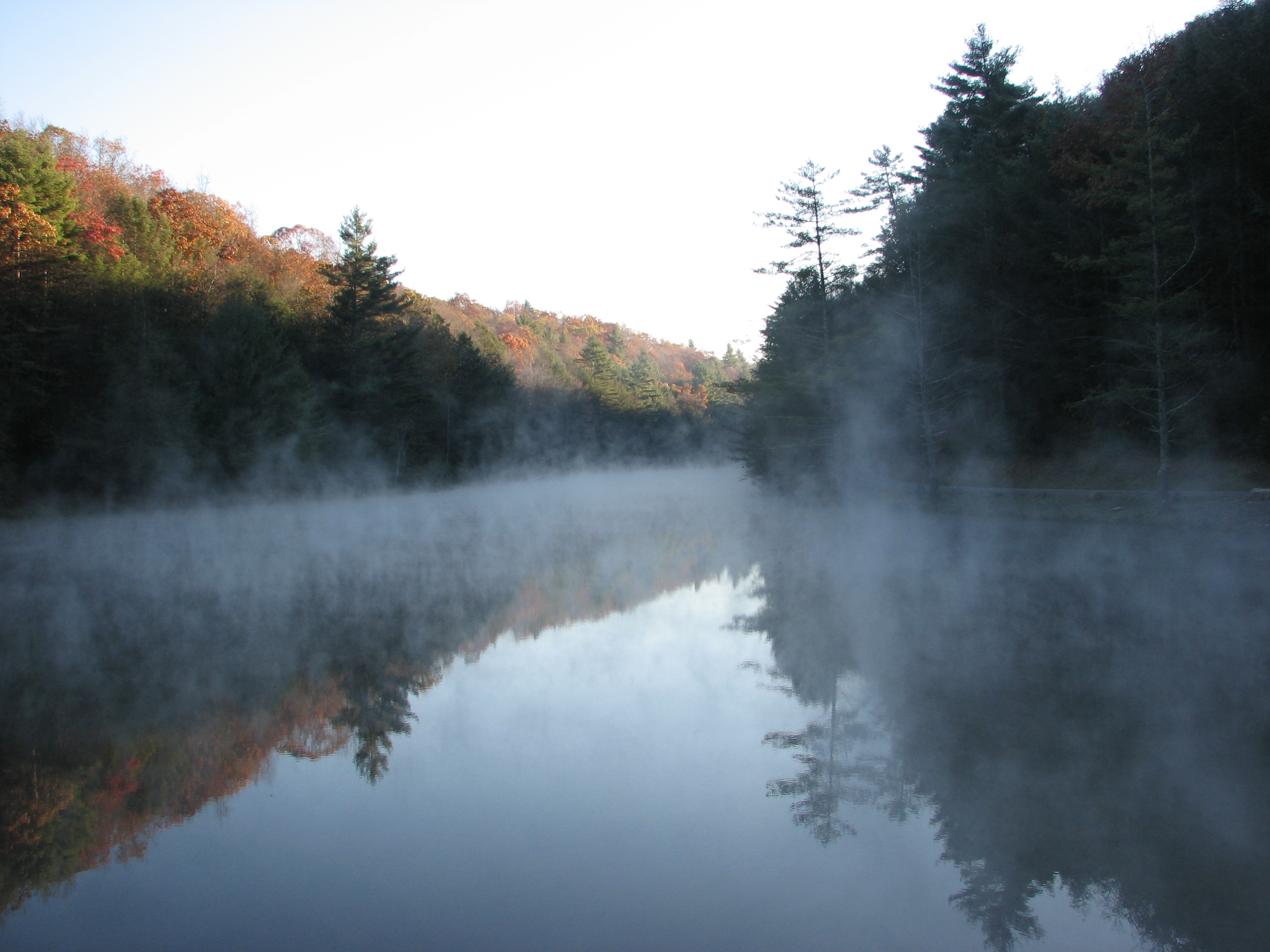
West Virginia Mists
Topographic Map of Gordon Dilley Road, Gordon Dilley Rd, Marlinton, WV, USA
Find elevation by address:

Places near Gordon Dilley Road, Gordon Dilley Rd, Marlinton, WV, USA:
Gordon Dilley Road
Gordon Dilley Road
Gordon Dilley Road
Gordon Dilley Road
Gordon Dilley Road
2850 Odding Gay Rd
Frost
Huntersville
Pocahontas County
6234 Edray Rd
3000 Beaver Creek Rd
Big Back Creek Road
Locust Hill Inn, Cabin And Pub
Sunrise
Sunrise
1018 10th St
20518 Seneca Trail
Marlinton
918 2nd Ave
96 Caribbean Ln
Recent Searches:
- Elevation of Corso Fratelli Cairoli, 35, Macerata MC, Italy
- Elevation of Tallevast Rd, Sarasota, FL, USA
- Elevation of 4th St E, Sonoma, CA, USA
- Elevation of Black Hollow Rd, Pennsdale, PA, USA
- Elevation of Oakland Ave, Williamsport, PA, USA
- Elevation of Pedrógão Grande, Portugal
- Elevation of Klee Dr, Martinsburg, WV, USA
- Elevation of Via Roma, Pieranica CR, Italy
- Elevation of Tavkvetili Mountain, Georgia
- Elevation of Hartfords Bluff Cir, Mt Pleasant, SC, USA