Elevation of 96 Caribbean Ln, Marlinton, WV, USA
Location: United States > West Virginia > Pocahontas County > Edray > Marlinton >
Longitude: -80.099801
Latitude: 38.2427828
Elevation: 692m / 2270feet
Barometric Pressure: 93KPa
Elevation Map:
Satellite Map:
Related Photos:
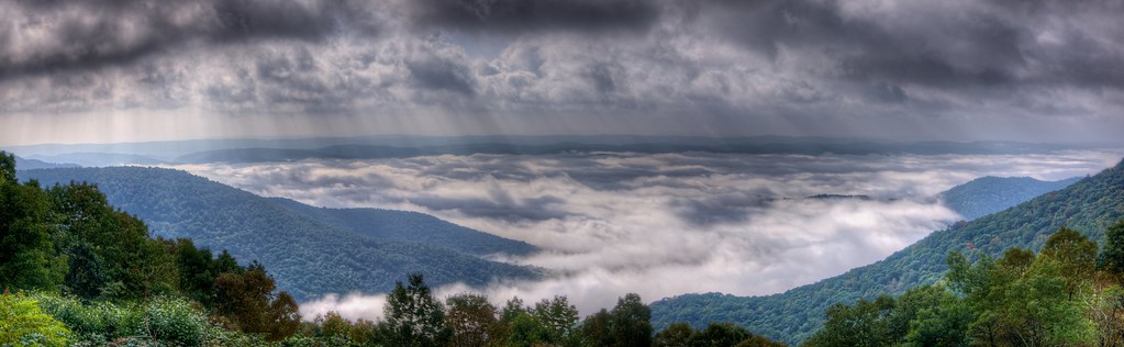
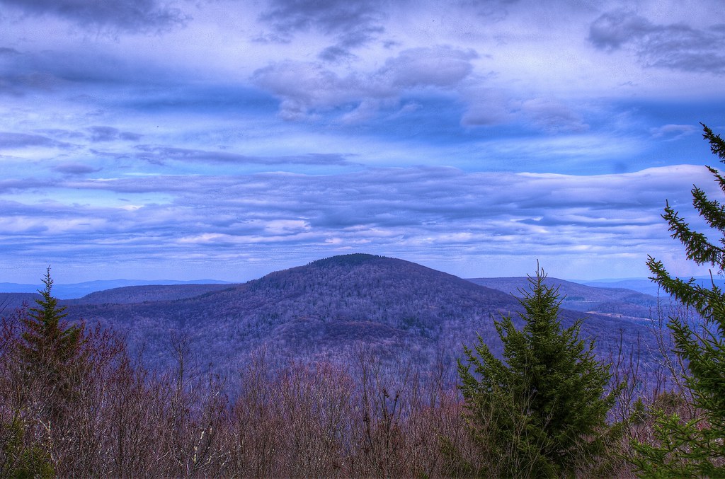
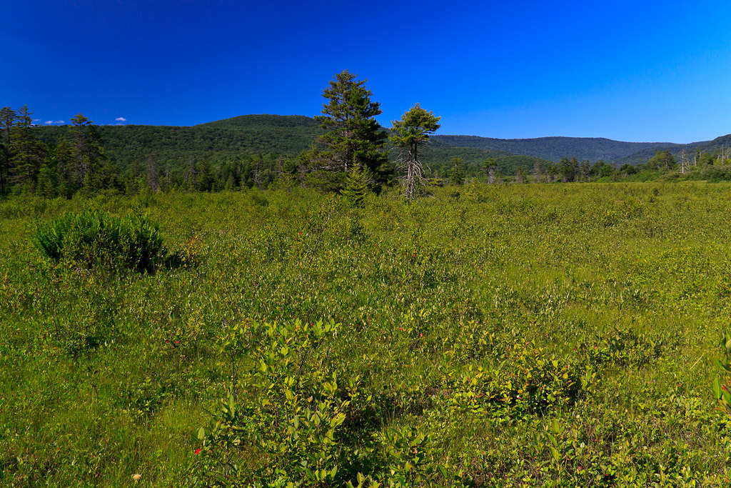
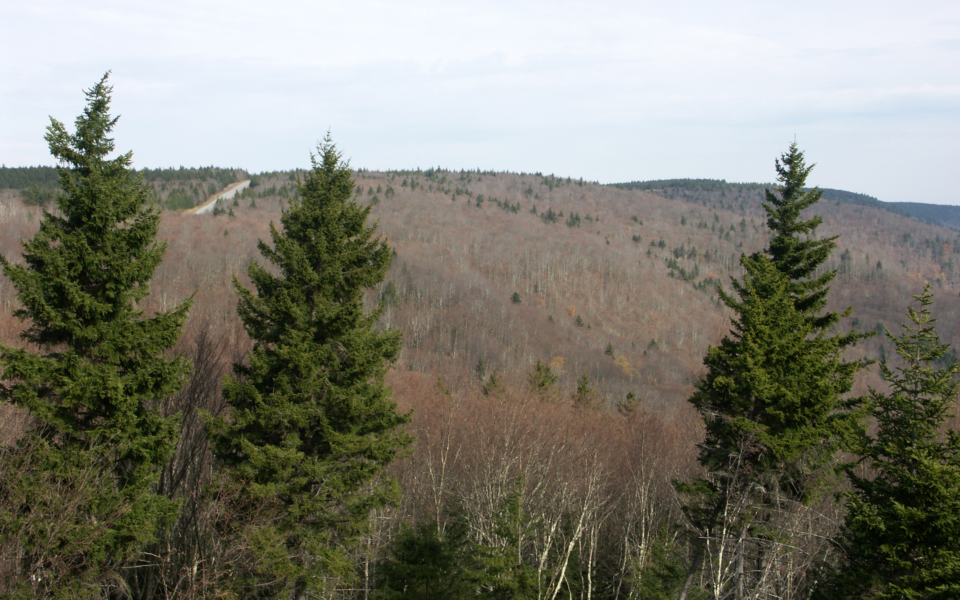
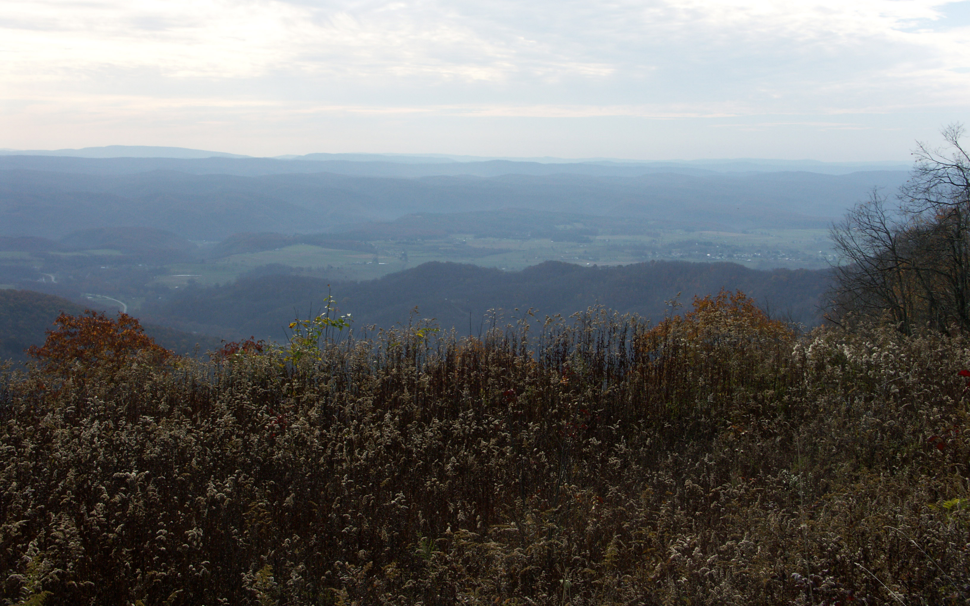
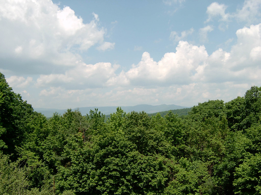
A View from WV's Highland Scenic Highway
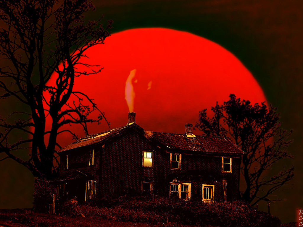
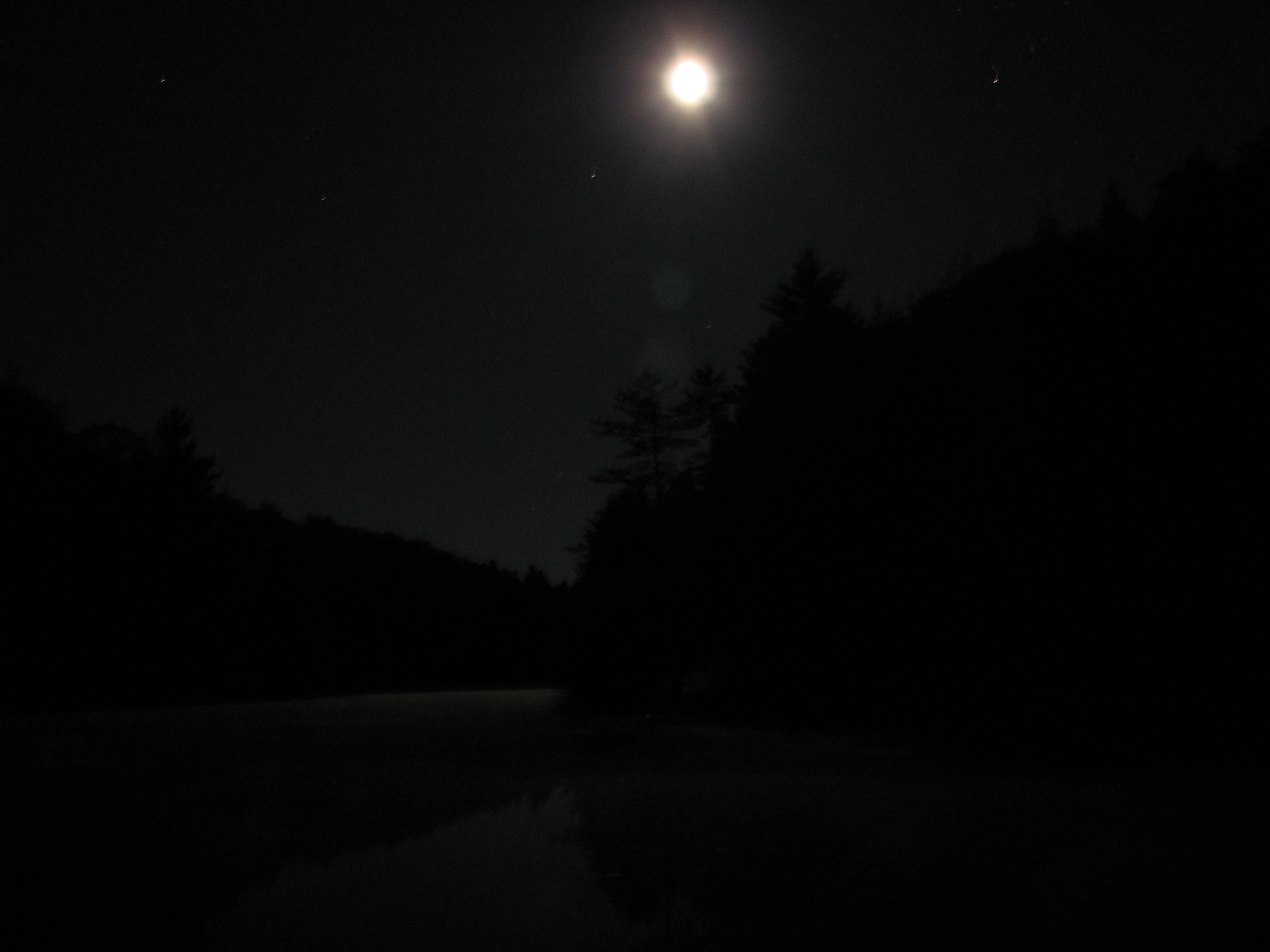
Blood Red Moon
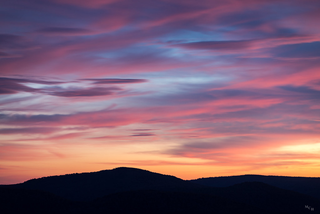
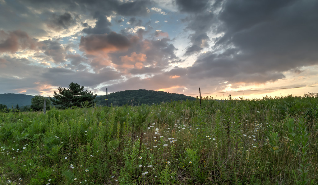
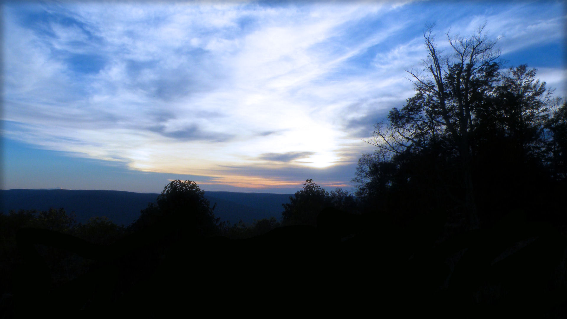
Sunset Over Scenic West Virginia
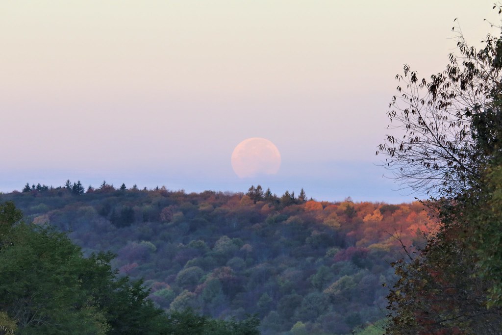
Moonset over the Fall Colors from Little Laurel
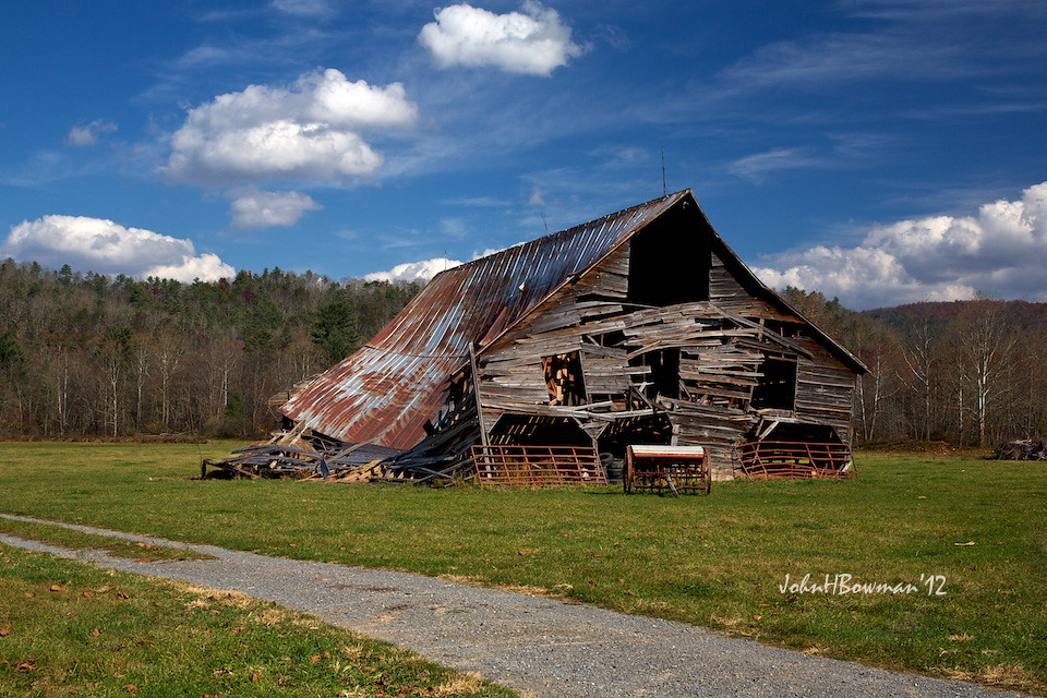
Barn, Beyond Revival
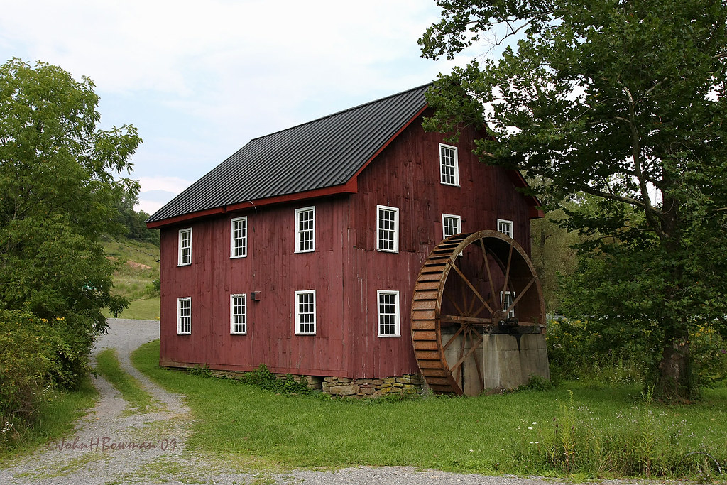
McNeel Mill, rear - West Virginia

#70s_swag
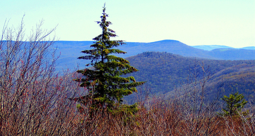
A View from Black Mountain in Spring
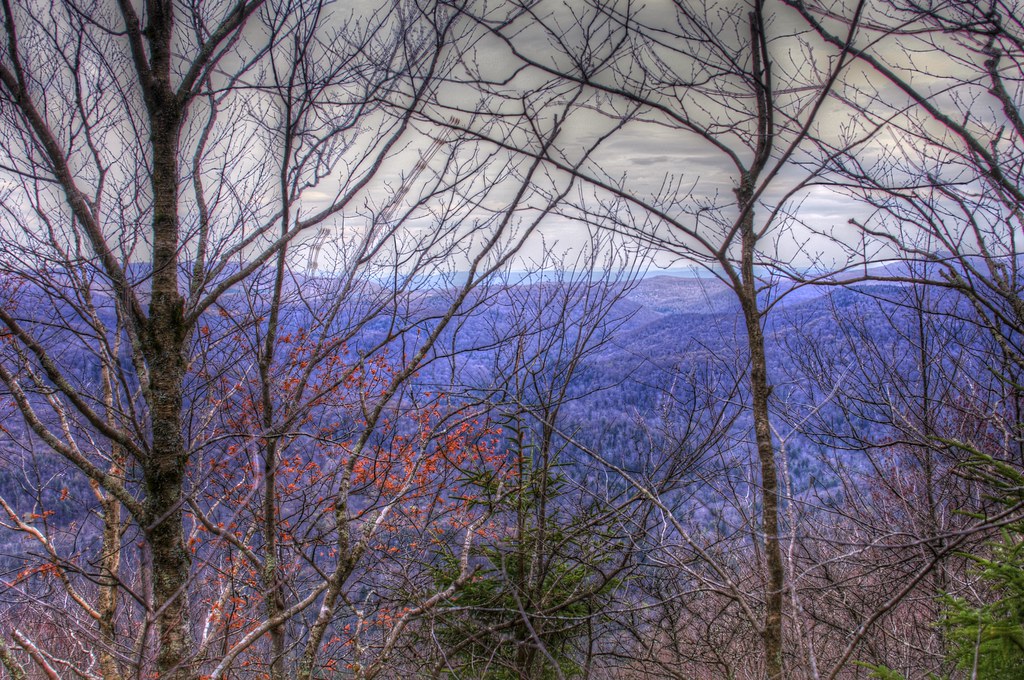
A view from the top
IMG_1525.JPG
Cranberry Glades Botanical Area
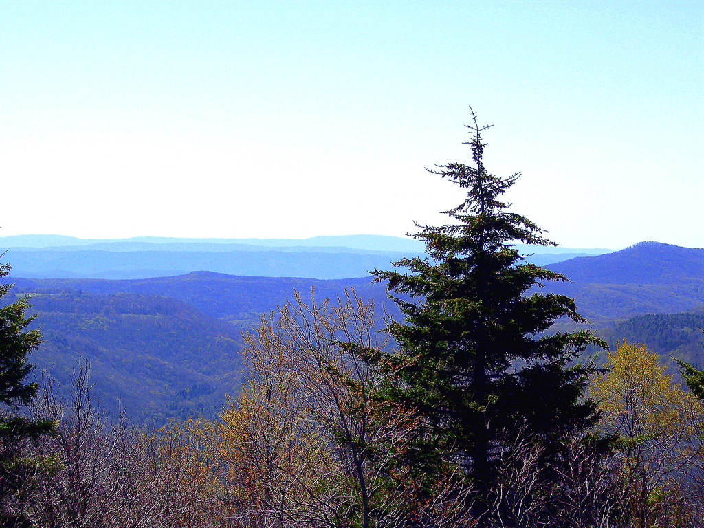
A view from the top
Highland Scenic Highway View 1
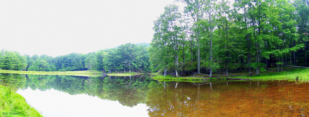
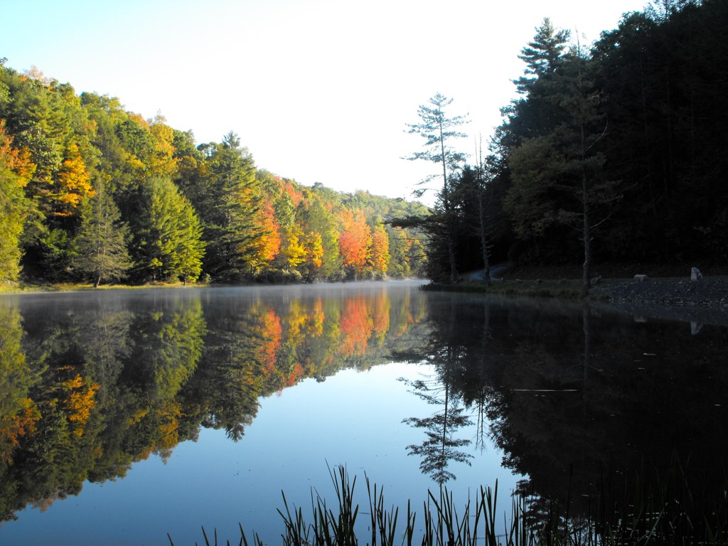
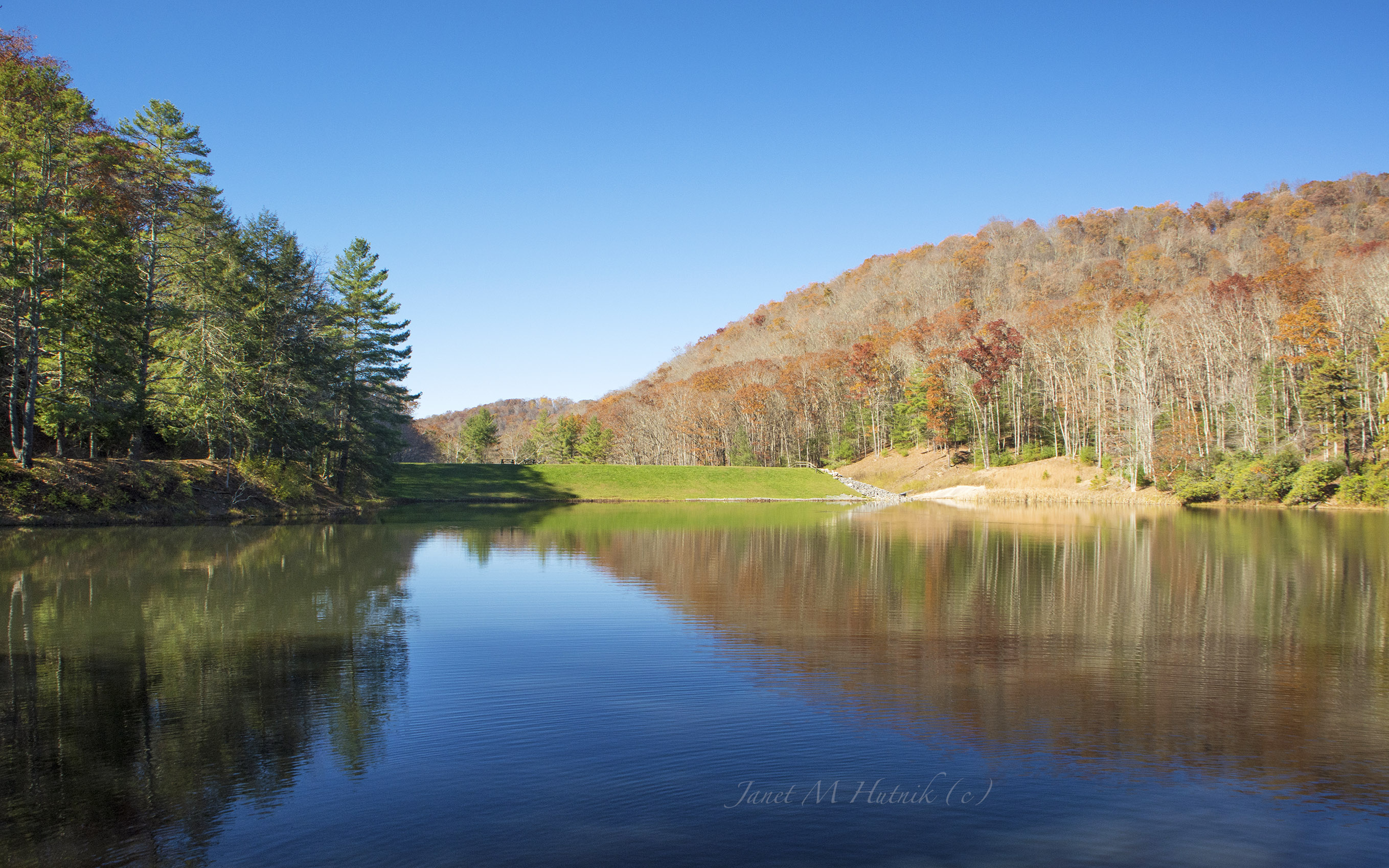
Panoramic Pond
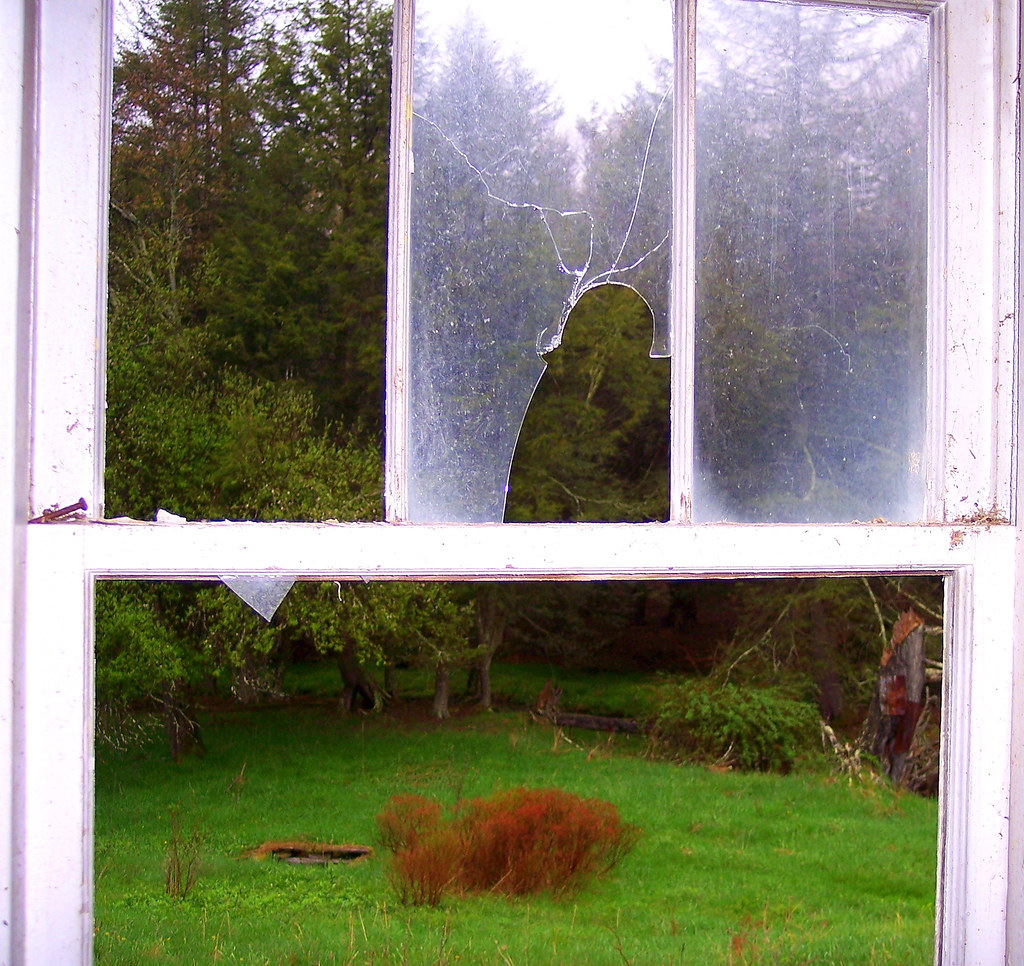
View From The Kitchen Sink

One Headlight
Highland Scenic Highway View 3
Beyond the Red-bud

The View From The Cabin's Bathroom
Highland Scenic Highway View 2

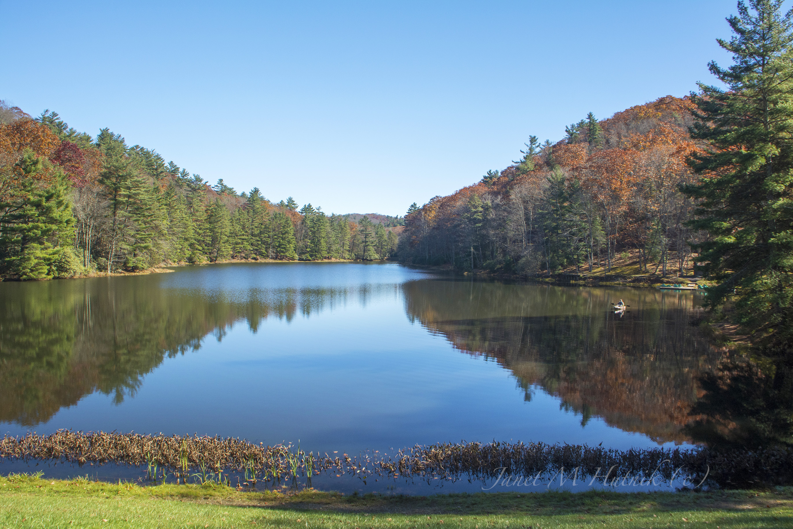
View of the Greenbrier River

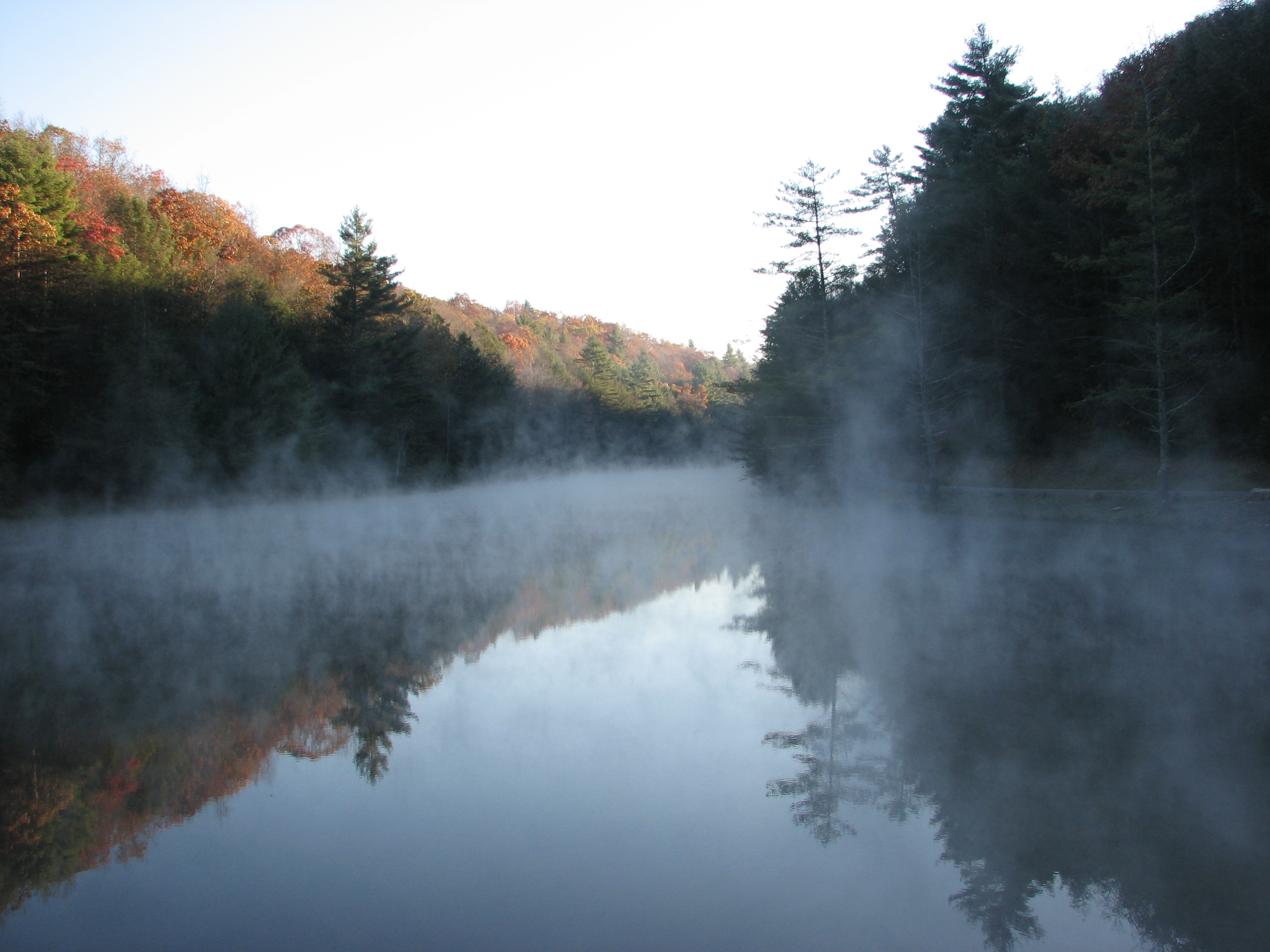
Sunrise Fog Over Marlinton
Break Thru
Cranberry Back Country along the Cow Pasture Trail
Golden Daze
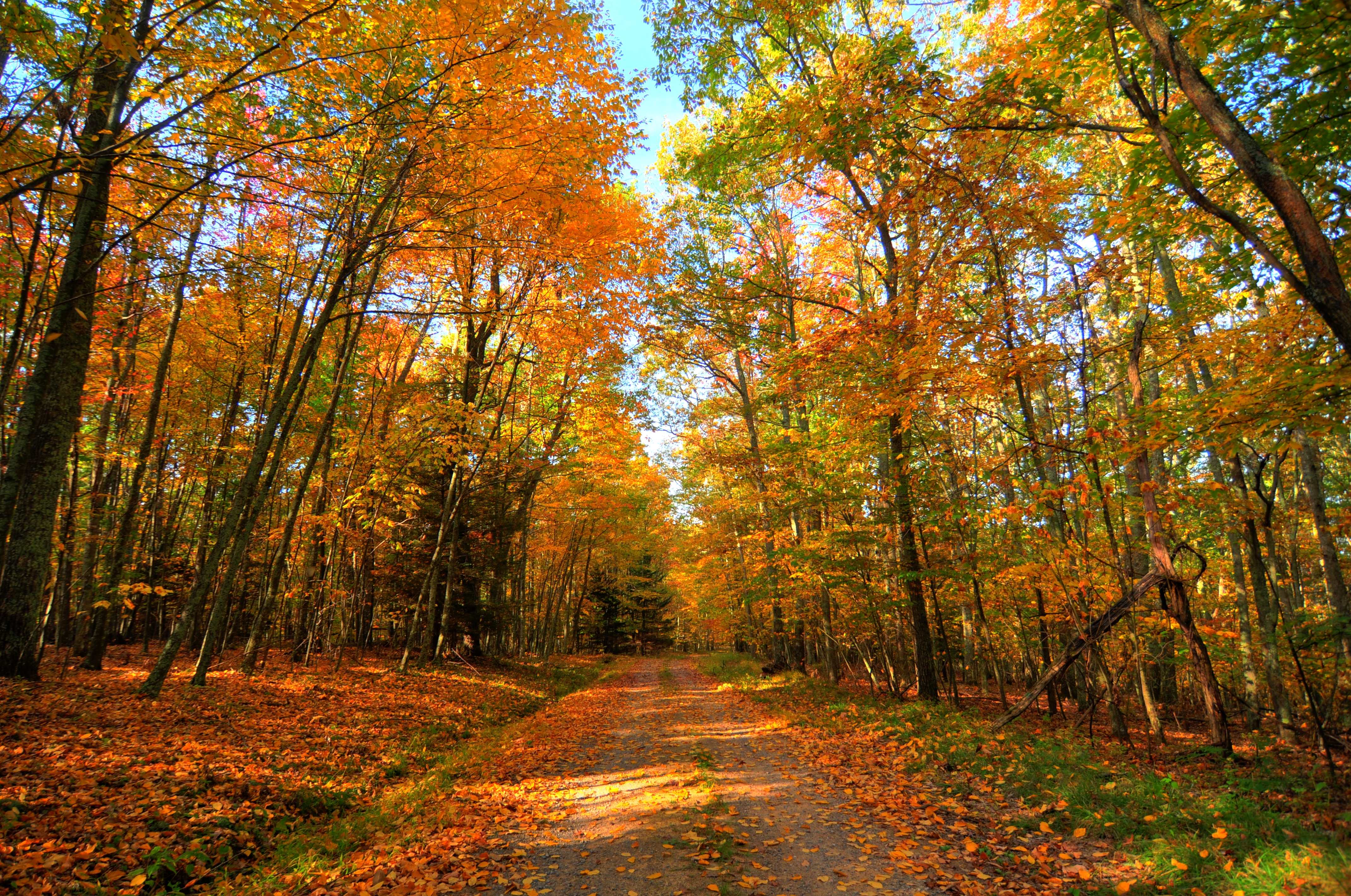
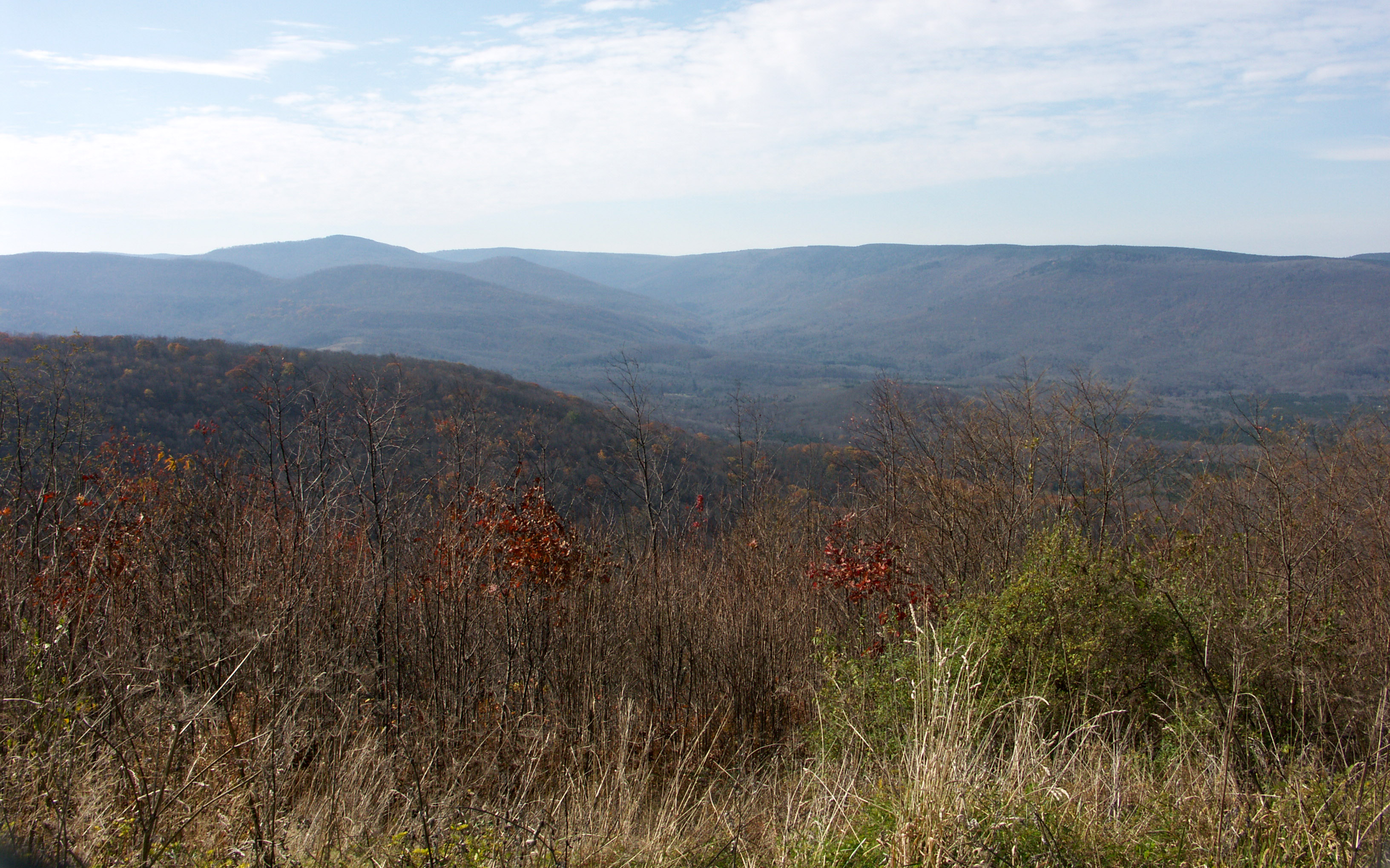
Fall in West Virginia
Sunshine On My Shoulder Makes Me Happy
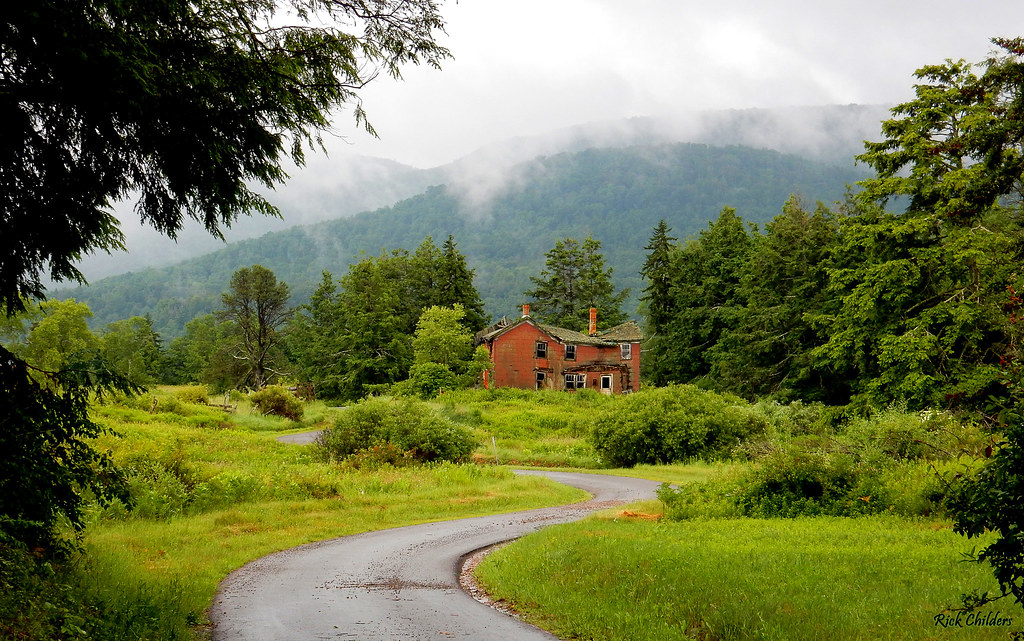
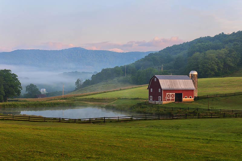
High Country Farmhouse
DSCF0002.JPG
Watoga State Park
Overlook on WV 150
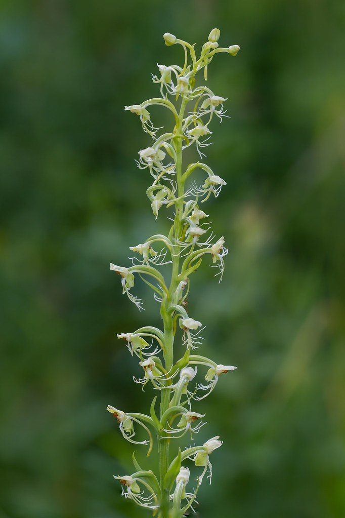
Ragged Fringed Orchid

_DSC0064 (1)
Watoga State Park
November at Watoga
West Virginia Dawn
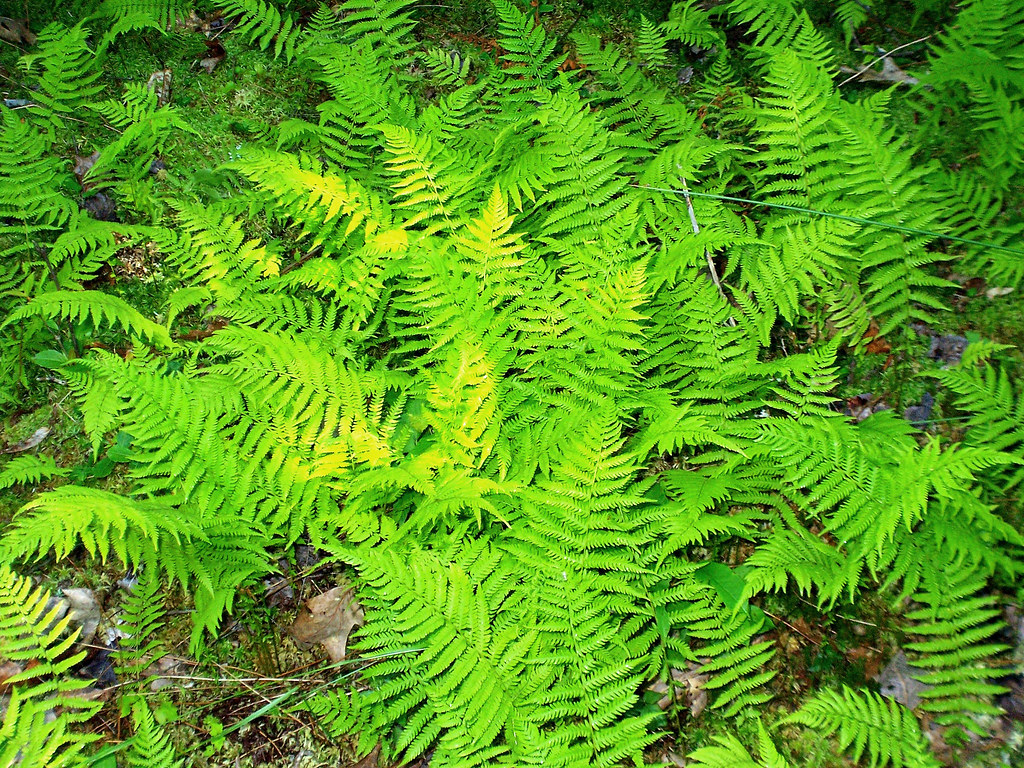
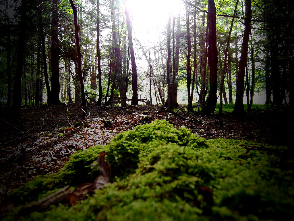
Ground Cover
IMG_1528.JPG
Topographic Map of 96 Caribbean Ln, Marlinton, WV, USA
Find elevation by address:

Places near 96 Caribbean Ln, Marlinton, WV, USA:
Stoney Creek Road
20518 Seneca Trail
Seneca Trail
Marlinton
918 2nd Ave
1105 3rd Ave
1116 3rd Ave
1018 10th St
Locust Hill Inn, Cabin And Pub
983 Woodrow Rd
19 Duncan Rd
E Woodrow Branch Rd, Marlinton, WV, USA
MINEHAHA SPGS, WV, USA
6234 Edray Rd
3000 Beaver Creek Rd
Pocahontas County
Huntersville
Gordon Dilley Road
Gordon Dilley Road
Gordon Dilley Road
Recent Searches:
- Elevation of Corso Fratelli Cairoli, 35, Macerata MC, Italy
- Elevation of Tallevast Rd, Sarasota, FL, USA
- Elevation of 4th St E, Sonoma, CA, USA
- Elevation of Black Hollow Rd, Pennsdale, PA, USA
- Elevation of Oakland Ave, Williamsport, PA, USA
- Elevation of Pedrógão Grande, Portugal
- Elevation of Klee Dr, Martinsburg, WV, USA
- Elevation of Via Roma, Pieranica CR, Italy
- Elevation of Tavkvetili Mountain, Georgia
- Elevation of Hartfords Bluff Cir, Mt Pleasant, SC, USA