Elevation of Huntersville, WV, USA
Location: United States > West Virginia > Pocahontas County >
Longitude: -79.986407
Latitude: 38.2038045
Elevation: 847m / 2779feet
Barometric Pressure: 92KPa
Elevation Map:
Satellite Map:
Related Photos:

Back to the '50s
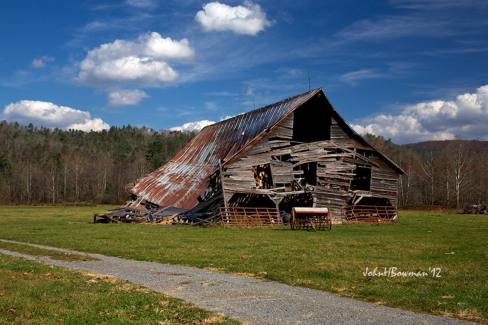
Barn, Beyond Revival

#70s_swag

View of the Greenbrier River
What a pretty view

View of the Greenbrier River from the Watoga Bridge
IMG_1525.JPG
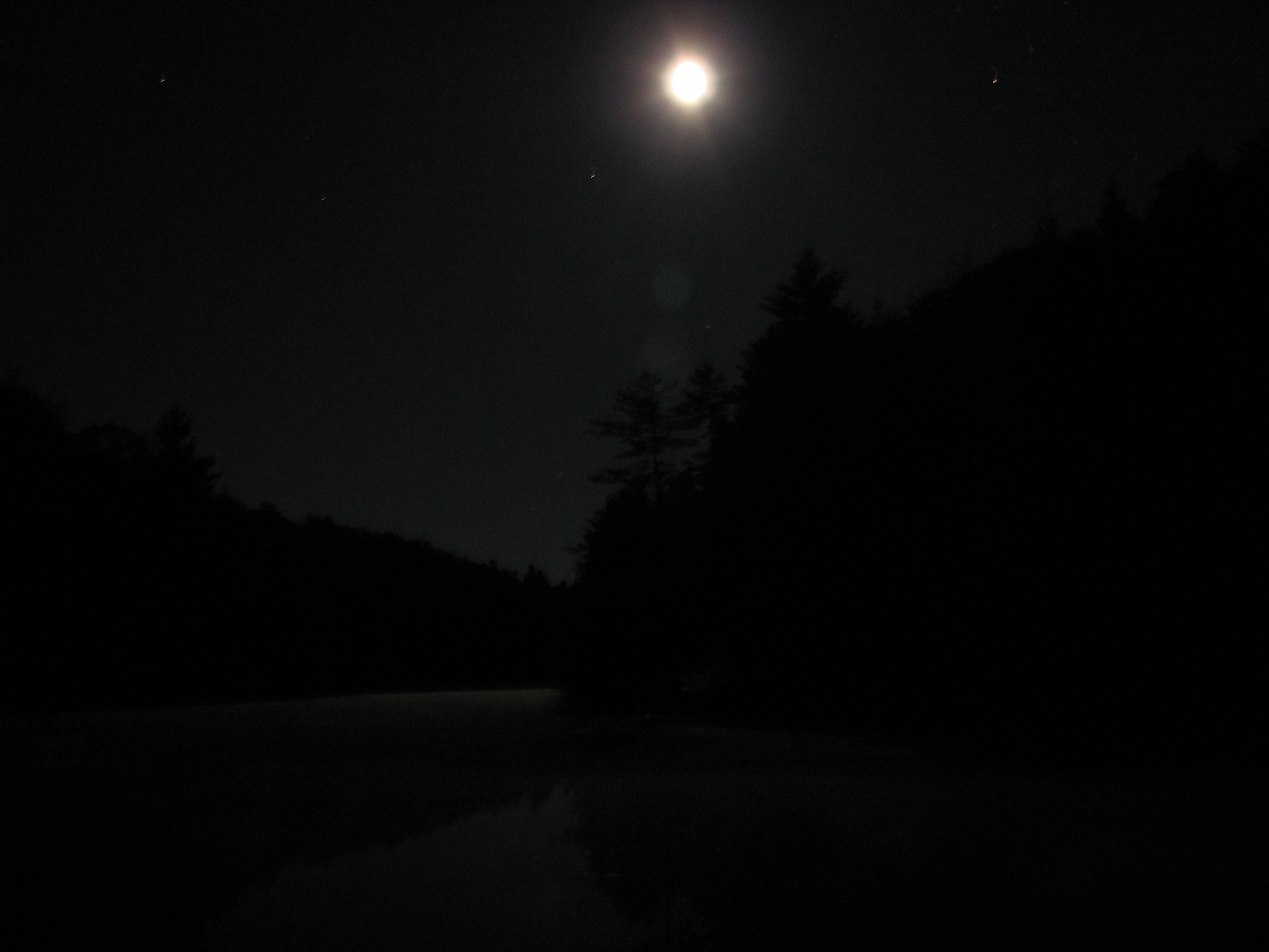
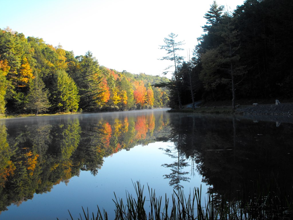
West Virginia Dawn
Little Back Creek, Little Mountain, George Washington National Forest, Bath County, Virginia 1
MountainGrove.jpg
Little Back Creek, Little Mountain, George Washington National Forest, Bath County, Virginia 3

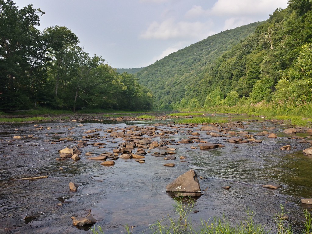
Just north of the Buckeye trail head on the Greenbrier River Trail
IMGP1676.JPG

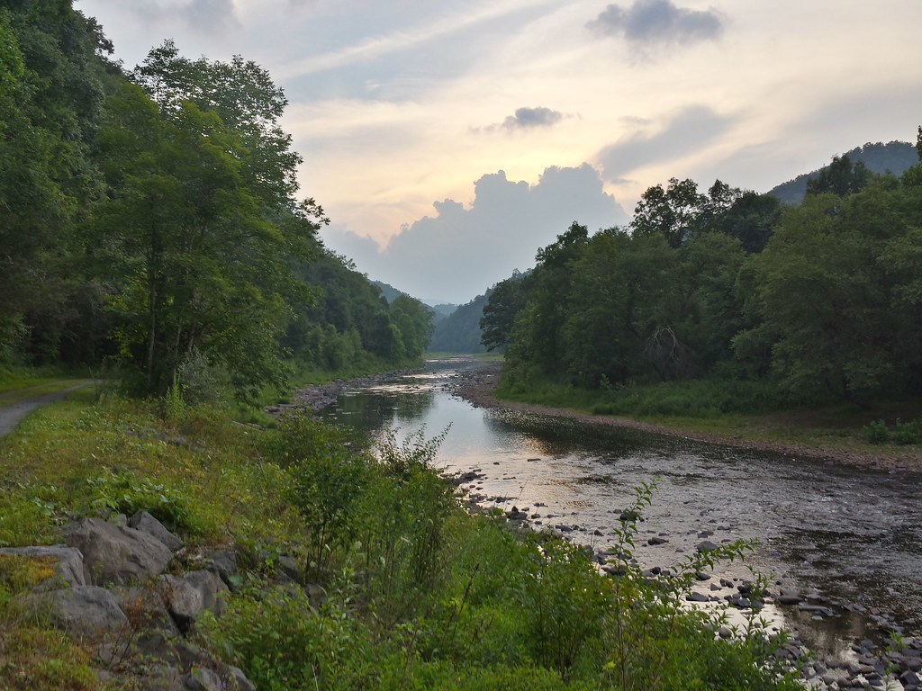
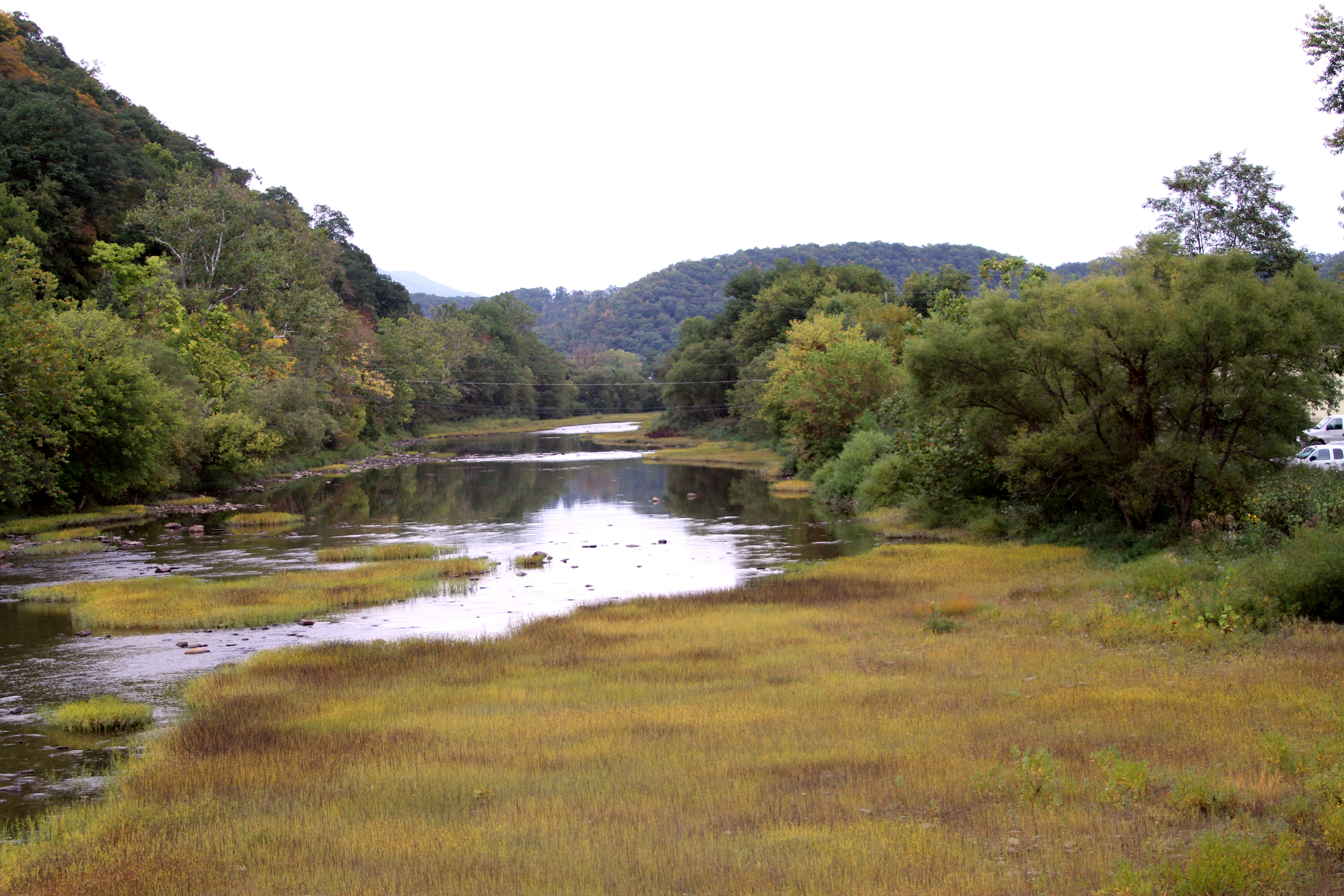
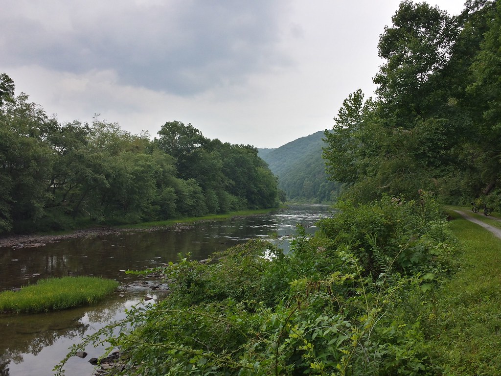
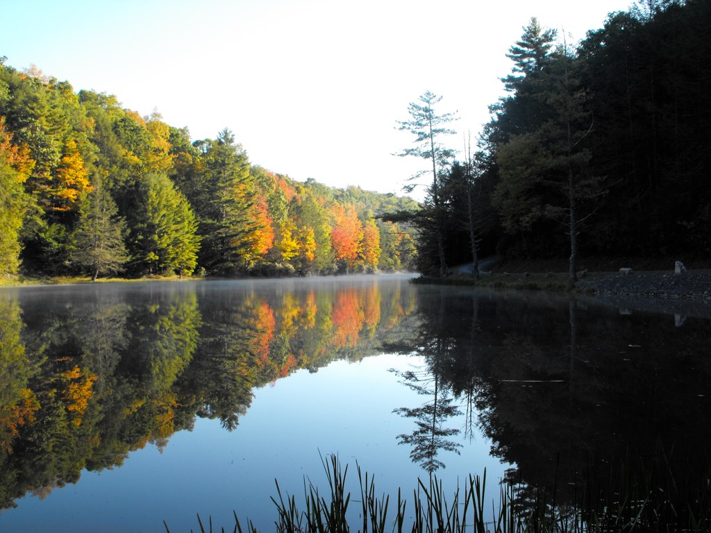
Greenbrier River
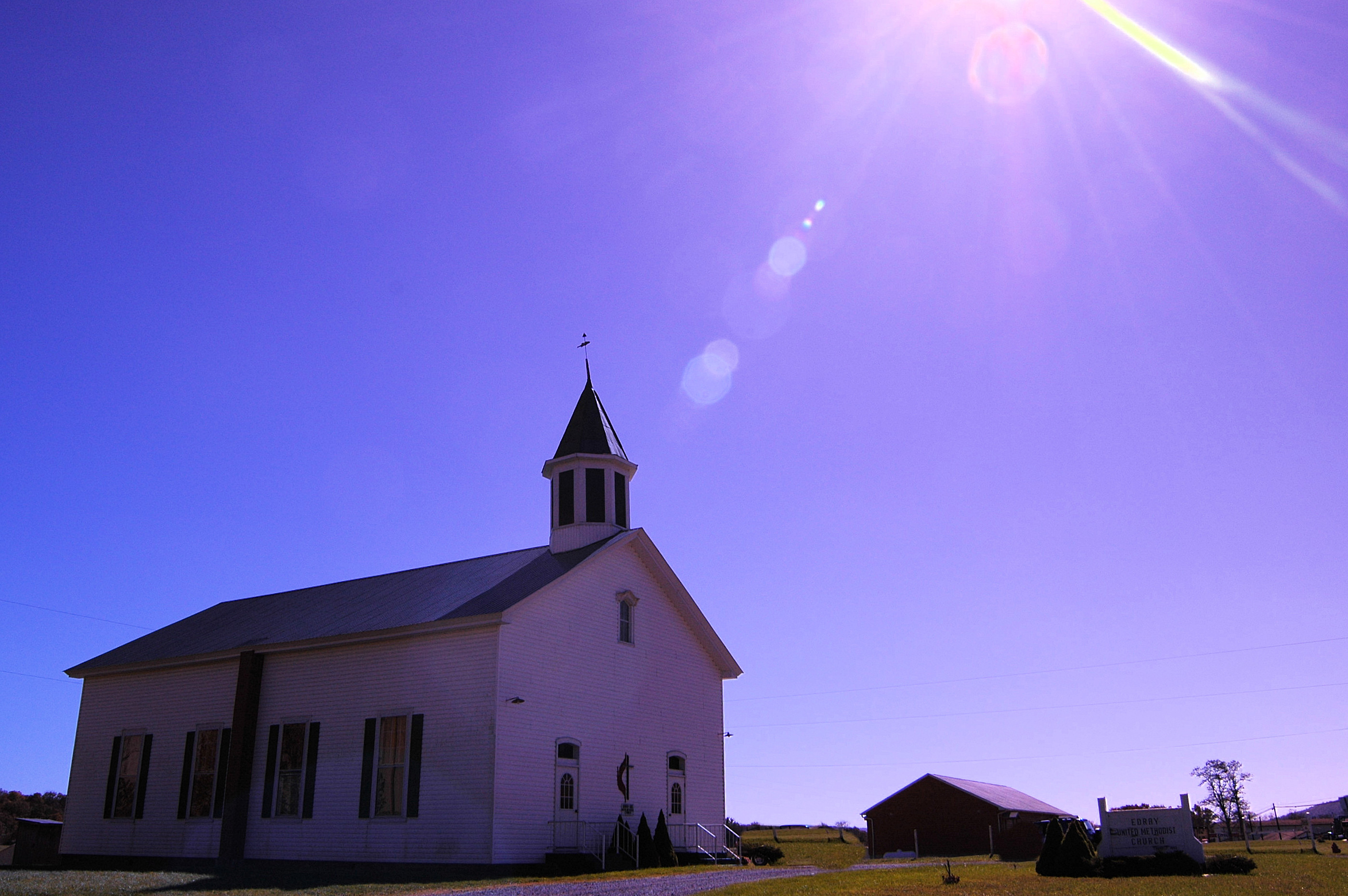
Methodist Church (built 1883) Edray, WV

Greenbrier River
Spring!

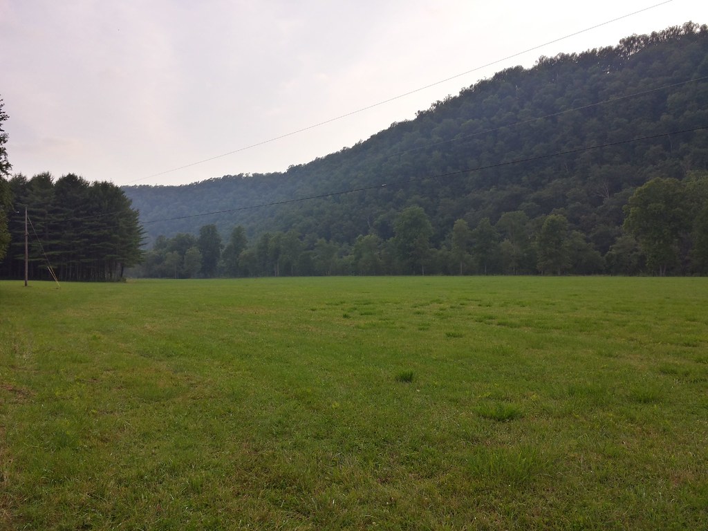
Field near Buckeye on the Greenbrier River Trail
Sunset over the Greenbrier river

IMGP1687.JPG
Watering Hole
Greenbrier river from the path
Greenbrier River
DSCF0001.JPG
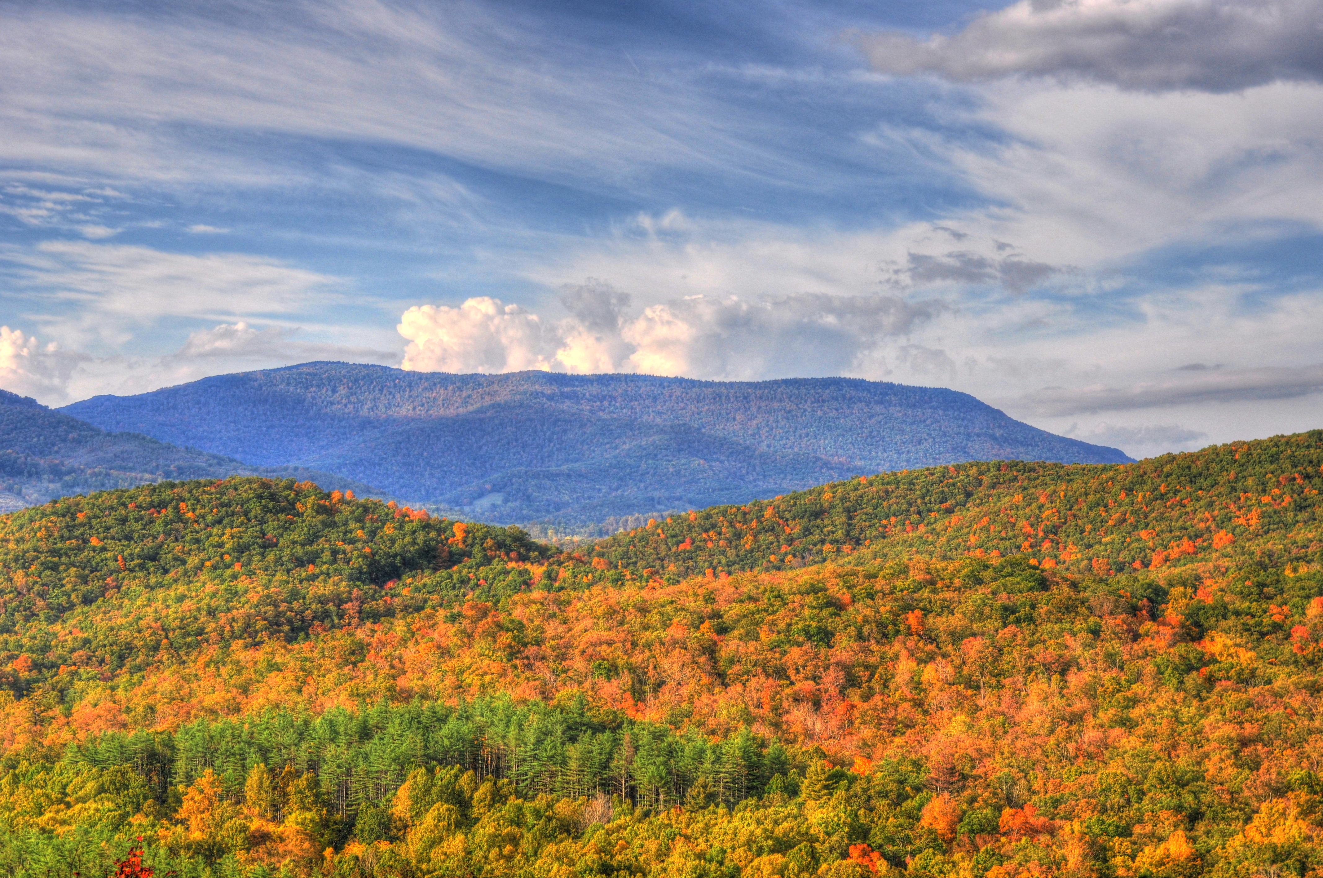
Dirt Road Hills
DSCF0002.JPG
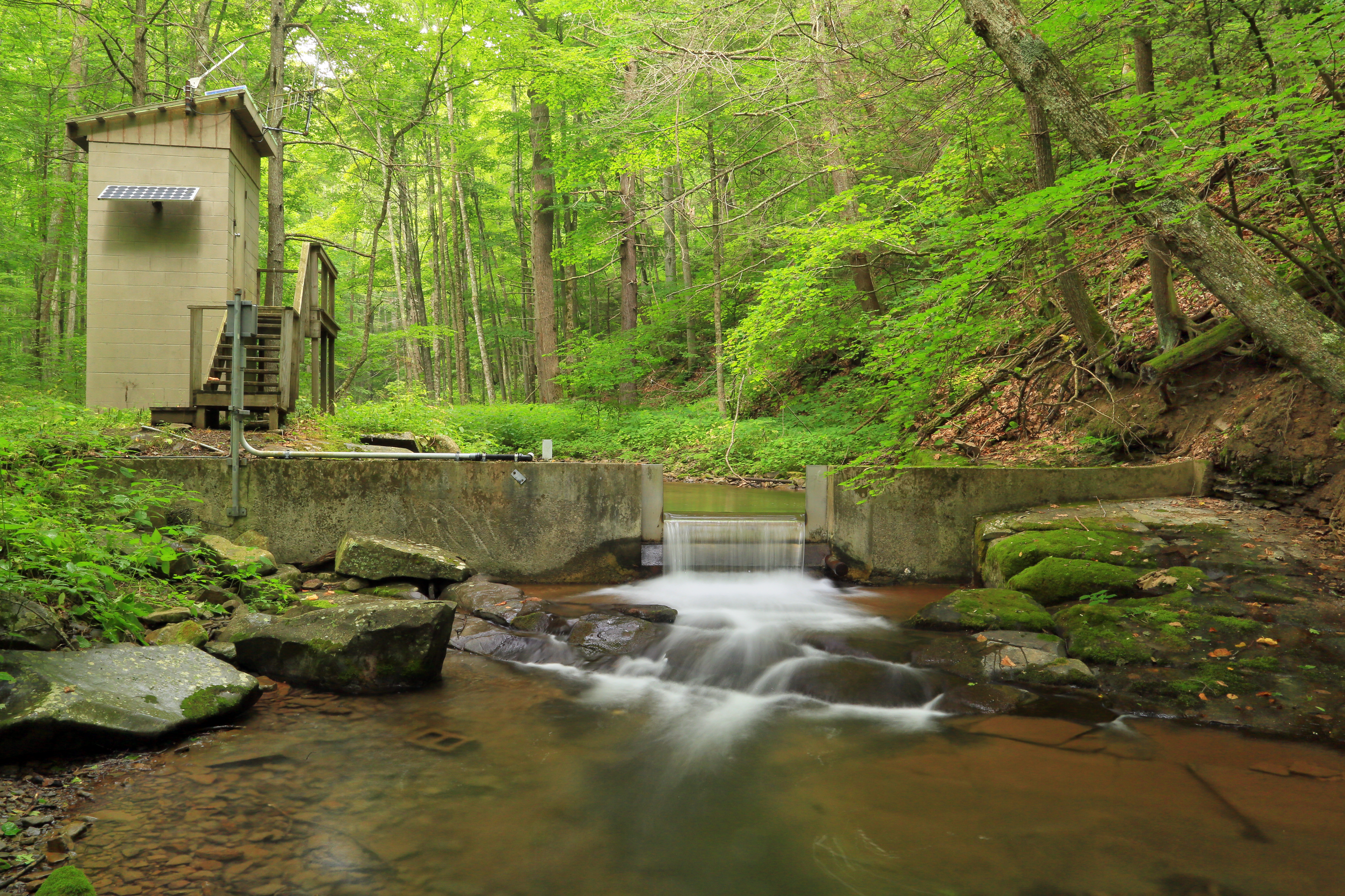
U.S. Geological Survey, Stream Gage, Little Back Creek, Little Mountain, George Washington National Forest, Bath County, Virginia 2
Topographic Map of Huntersville, WV, USA
Find elevation by address:

Places near Huntersville, WV, USA:
3000 Beaver Creek Rd
Gordon Dilley Road
Gordon Dilley Road
Gordon Dilley Road
Gordon Dilley Road
Gordon Dilley Road
Gordon Dilley Road
2850 Odding Gay Rd
Locust Hill Inn, Cabin And Pub
1018 10th St
6234 Edray Rd
Pocahontas County
Marlinton
918 2nd Ave
1105 3rd Ave
1116 3rd Ave
Seneca Trail
20518 Seneca Trail
96 Caribbean Ln
19 Duncan Rd
Recent Searches:
- Elevation of Corso Fratelli Cairoli, 35, Macerata MC, Italy
- Elevation of Tallevast Rd, Sarasota, FL, USA
- Elevation of 4th St E, Sonoma, CA, USA
- Elevation of Black Hollow Rd, Pennsdale, PA, USA
- Elevation of Oakland Ave, Williamsport, PA, USA
- Elevation of Pedrógão Grande, Portugal
- Elevation of Klee Dr, Martinsburg, WV, USA
- Elevation of Via Roma, Pieranica CR, Italy
- Elevation of Tavkvetili Mountain, Georgia
- Elevation of Hartfords Bluff Cir, Mt Pleasant, SC, USA