Elevation of Gordon Dilley Road, Gordon Dilley Rd, Marlinton, WV, USA
Location: United States > West Virginia > Pocahontas County > Greenbank > Dunmore >
Longitude: -79.932819
Latitude: 38.2646675
Elevation: 918m / 3012feet
Barometric Pressure: 91KPa
Elevation Map:
Satellite Map:
Related Photos:

Chestnut-sided Warbler
By Request

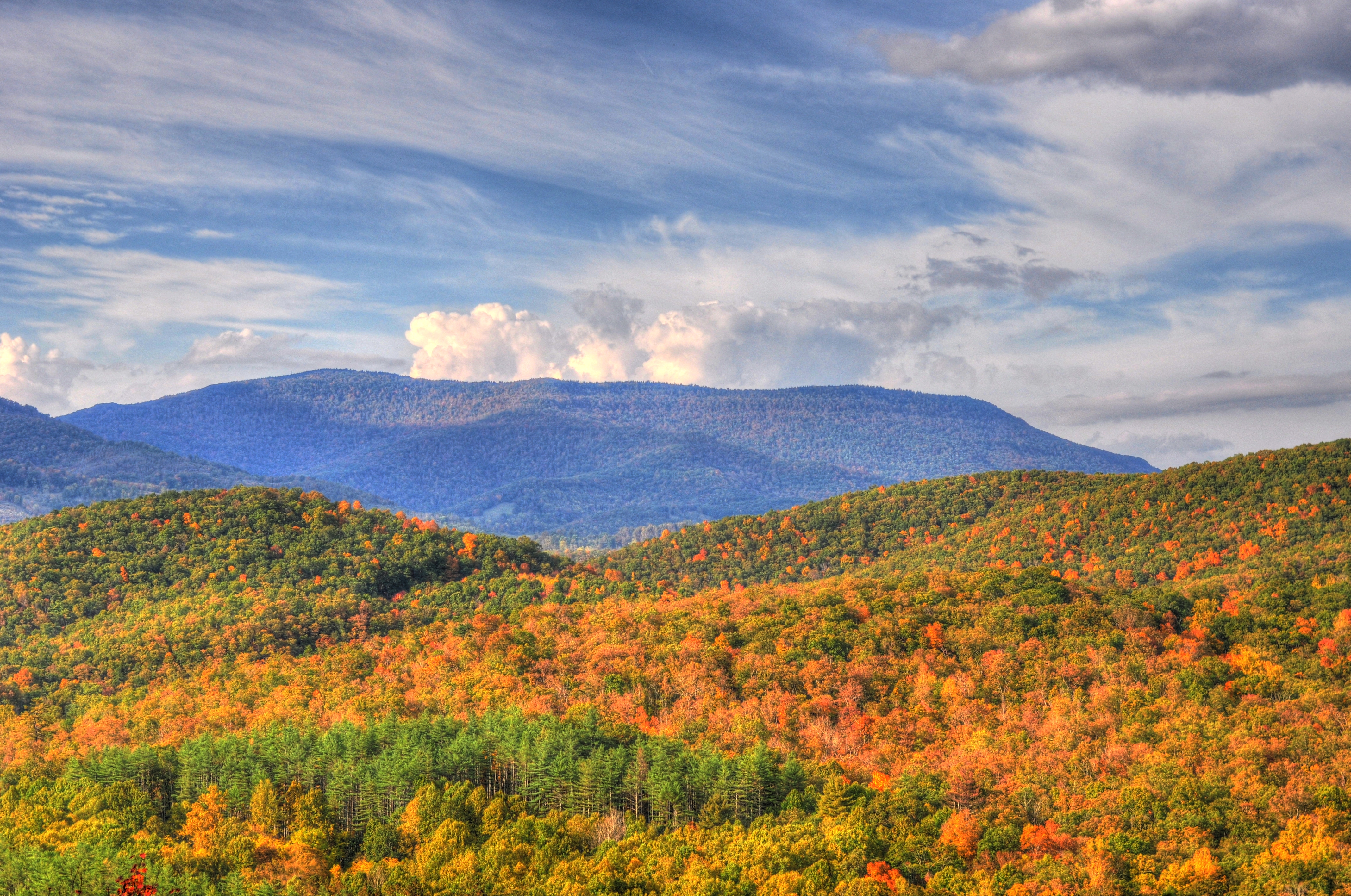
Fall In Full Swing

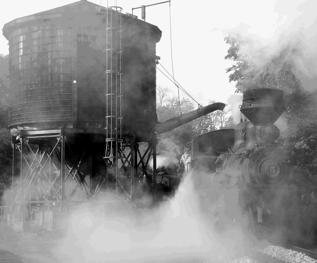
They appear alive, Shay #11 at Cass

Greenbank Observatory

Barn, Beyond Revival

Back to the '50s

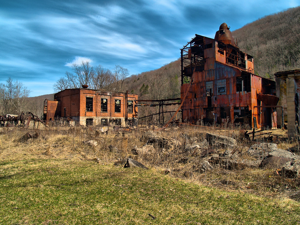
Steam Powered Log Skidder before restoration

Scenic Extreme

Pushing A Load

#70s_swag

Whittaker View

Whittaker Station - Elevation 3280

View from Whittaker on the Cass Scenic Railroad (WV) May 2013

CassRR-5186.jpg

3450 River View

A view from the Cab

View from Whittaker Station

View of the Greenbrier River

Pushing the load
What a pretty view

Spruce Knob-Seneca Rocks

Horses in the fog

Cass Scenic Railroad Light Show

Cass Scenic Railroad State Park, Cass West Virginia
Of Long Ago

Fall in West Virginia

Photo Workshop -Infrared 06
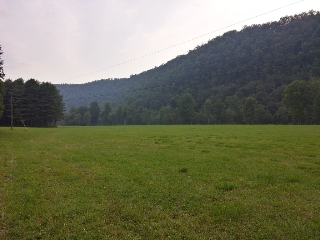
Dirt Road Hills

Freight Train Out Of Cass Station (WV) May 2013

West Virginia Dawn

U.S. Geological Survey, Stream Gage, Little Back Creek, Little Mountain, George Washington National Forest, Bath County, Virginia 2

A Night Out in Slabtown

Little Back Creek, Little Mountain, George Washington National Forest, Bath County, Virginia 3

Little Back Creek, Little Mountain, George Washington National Forest, Bath County, Virginia 1

Photo Workshop -KATHY 28

3636-1 Concrete Wall

Along The Cass Scenic Railroad

Photo Workshop -Infrared 08

Scenic Railroad

IMGP1646.JPG
Topographic Map of Gordon Dilley Road, Gordon Dilley Rd, Marlinton, WV, USA
Find elevation by address:

Places near Gordon Dilley Road, Gordon Dilley Rd, Marlinton, WV, USA:
Gordon Dilley Road
Gordon Dilley Road
2850 Odding Gay Rd
Gordon Dilley Road
Gordon Dilley Road
Gordon Dilley Road
Frost
Huntersville
Pocahontas County
6234 Edray Rd
Big Back Creek Road
Sunrise
Sunrise
3000 Beaver Creek Rd
Locust Hill Inn, Cabin And Pub
1018 10th St
20518 Seneca Trail
Marlinton
918 2nd Ave
96 Caribbean Ln
Recent Searches:
- Elevation of Corso Fratelli Cairoli, 35, Macerata MC, Italy
- Elevation of Tallevast Rd, Sarasota, FL, USA
- Elevation of 4th St E, Sonoma, CA, USA
- Elevation of Black Hollow Rd, Pennsdale, PA, USA
- Elevation of Oakland Ave, Williamsport, PA, USA
- Elevation of Pedrógão Grande, Portugal
- Elevation of Klee Dr, Martinsburg, WV, USA
- Elevation of Via Roma, Pieranica CR, Italy
- Elevation of Tavkvetili Mountain, Georgia
- Elevation of Hartfords Bluff Cir, Mt Pleasant, SC, USA