Elevation of Beaver Creek Rd, Marlinton, WV, USA
Location: United States > West Virginia > Pocahontas County > Edray > Marlinton >
Longitude: -80.041843
Latitude: 38.1622506
Elevation: 738m / 2421feet
Barometric Pressure: 93KPa
Elevation Map:
Satellite Map:
Related Photos:

Back to the '50s
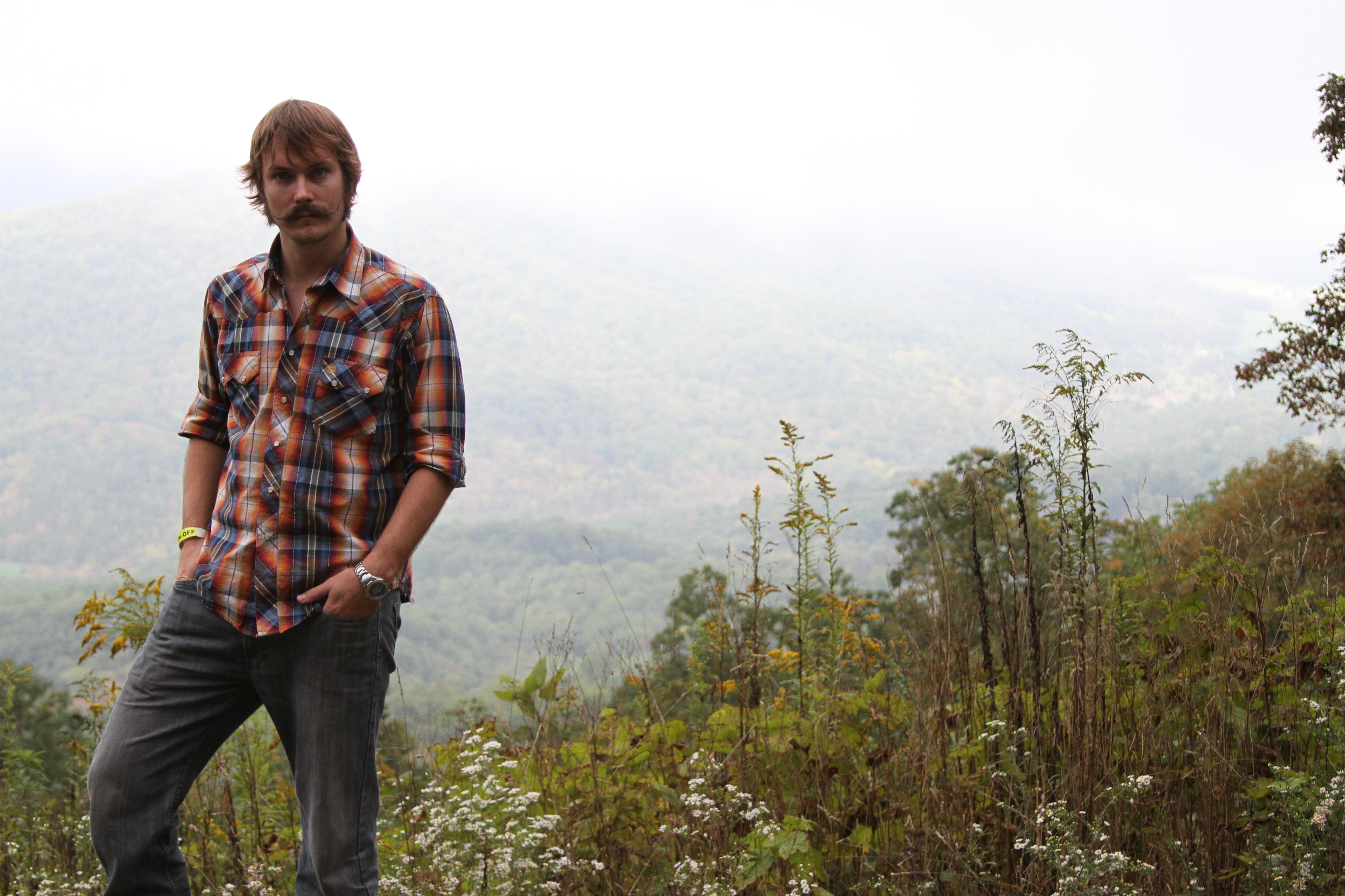
#70s_swag
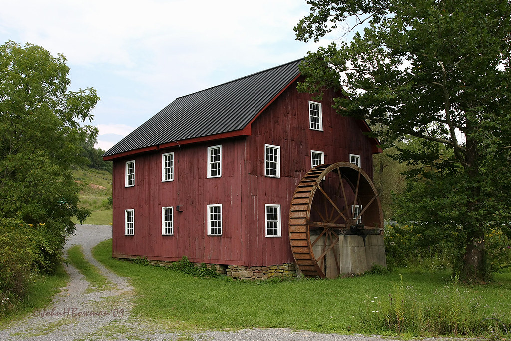
McNeel Mill, rear - West Virginia
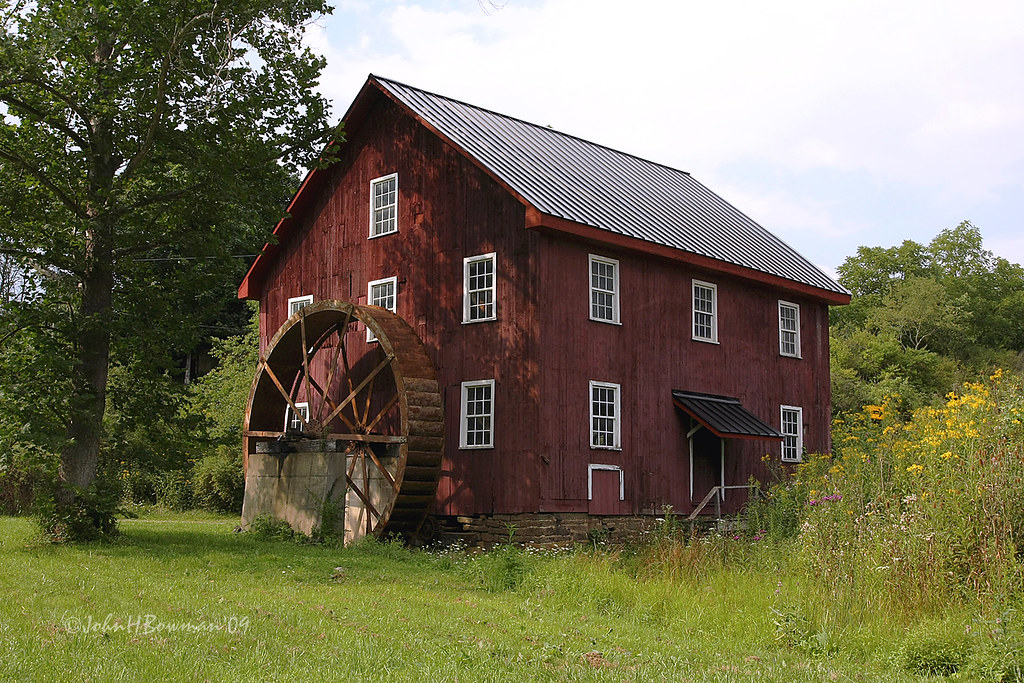
McNeel Mill, front - West Virginia
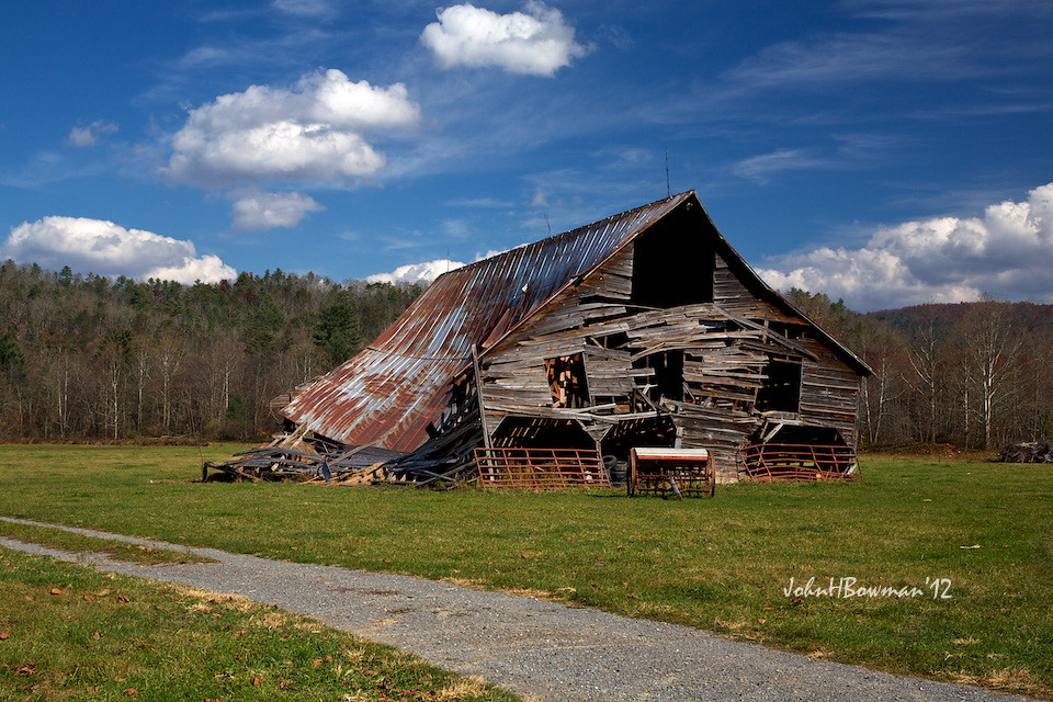
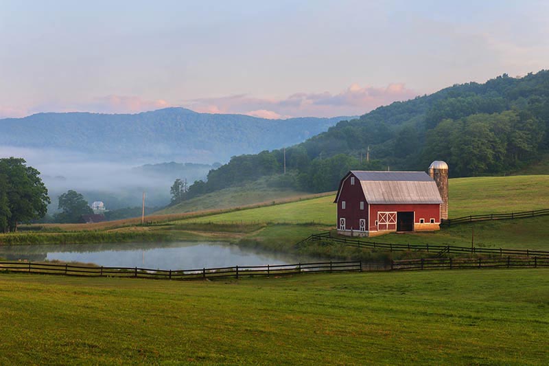
Barn, Beyond Revival

McNeel Mill -- Rear view

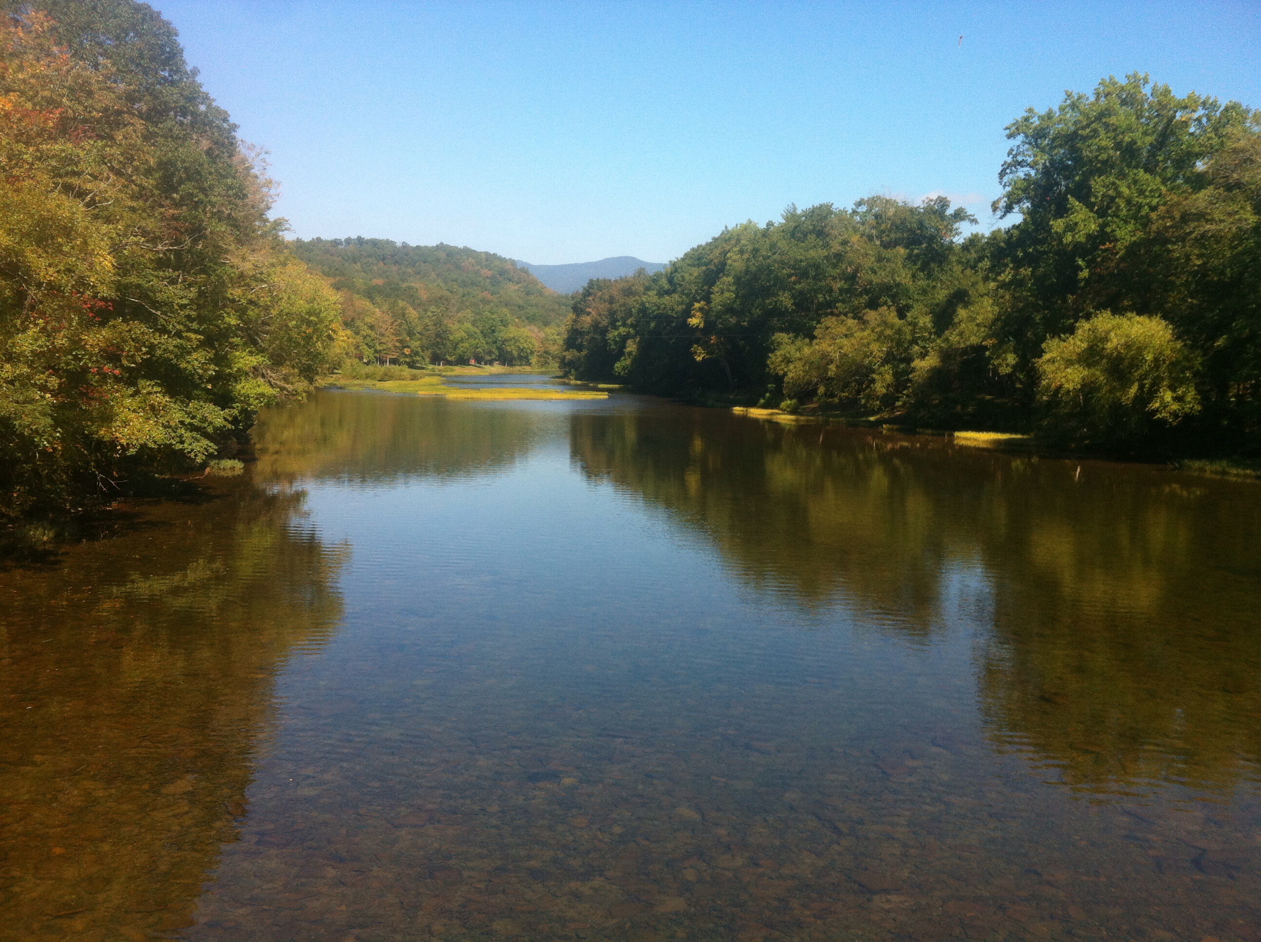
View of the Greenbrier River

McNeel Mill -- Front view
What a pretty view
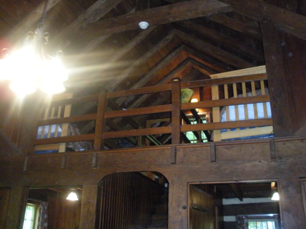
Loft, Watoga Cabin #7 (2237)

View of the Greenbrier River from the Watoga Bridge
West Virginia Dawn
Greenbrier river
November at Watoga
MountainGrove.jpg
Near Hillsboro, WV

Just north of the Buckeye trail head on the Greenbrier River Trail
IMGP1676.JPG

Greenbrier River

Juvenile Indigo Bunting
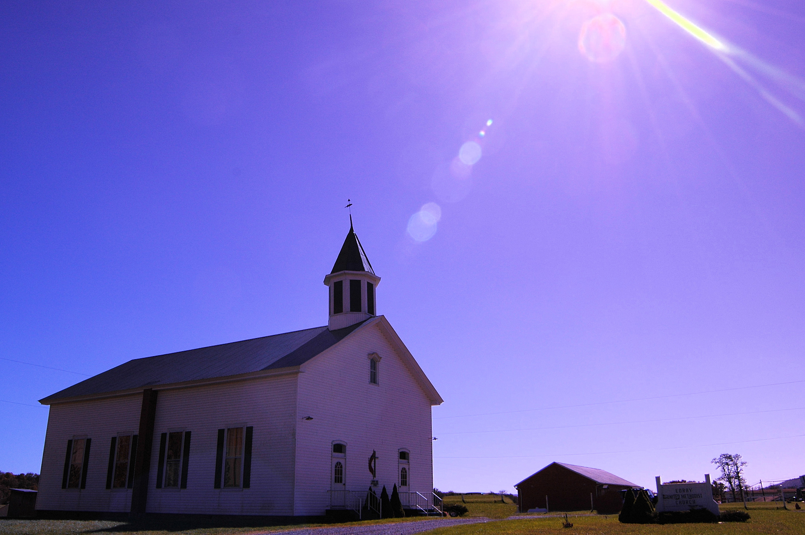
Methodist Church (built 1883) Edray, WV
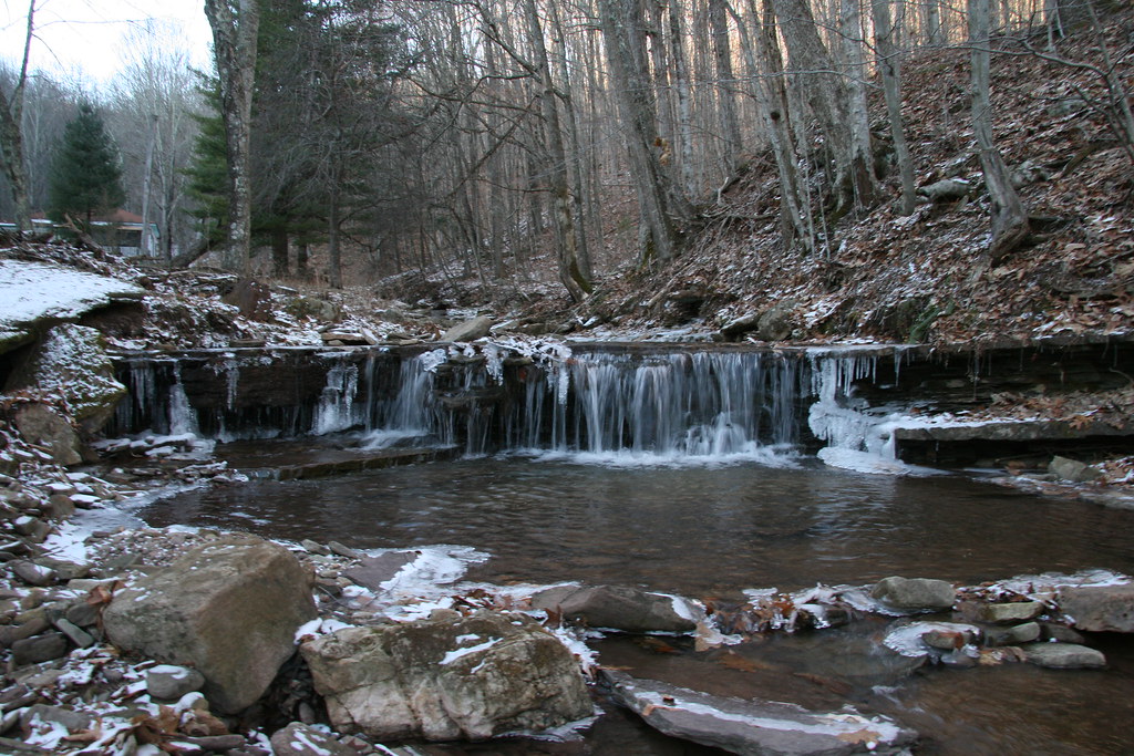
Winter Water in West Virginia
_DSC0097 (1)

Greenbrier River

_DSC0064 (1)
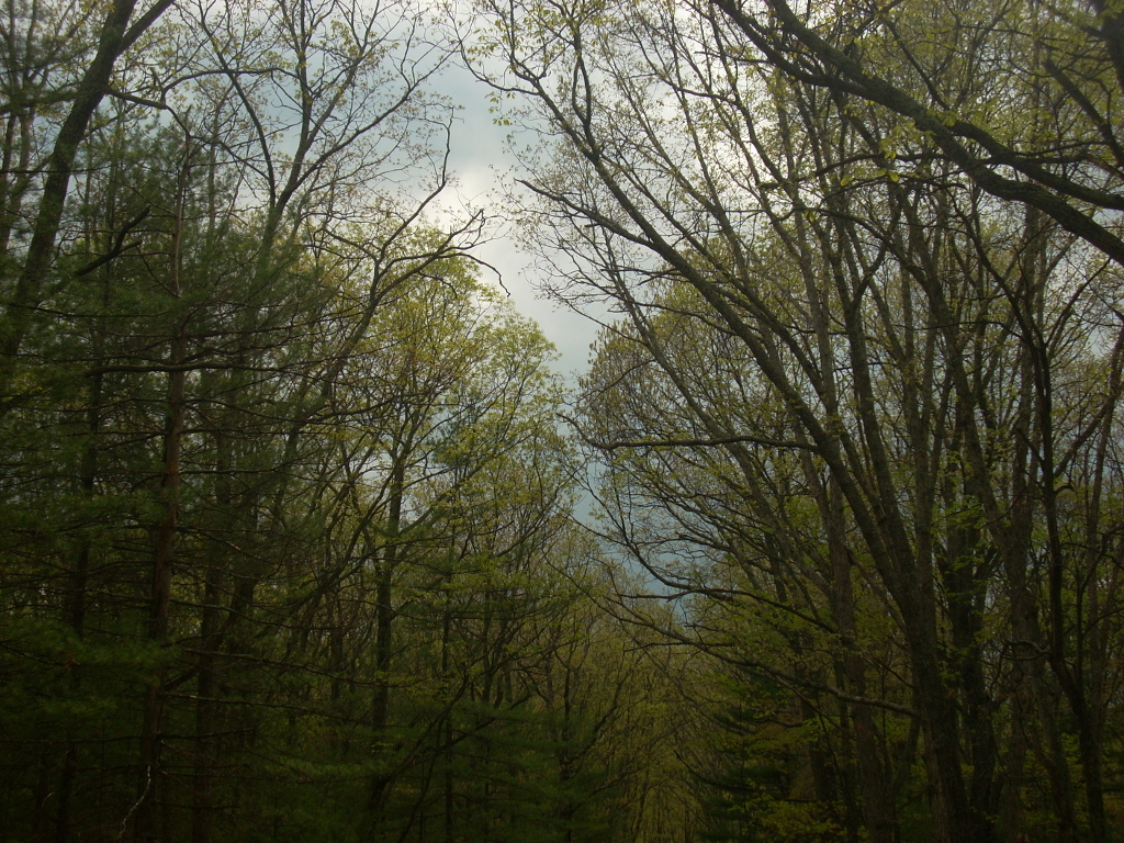
Spring!

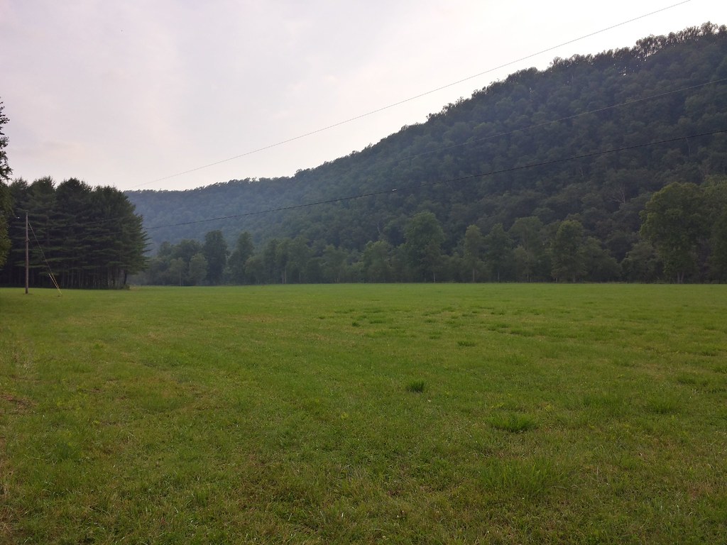
Field near Buckeye on the Greenbrier River Trail
赛珍珠
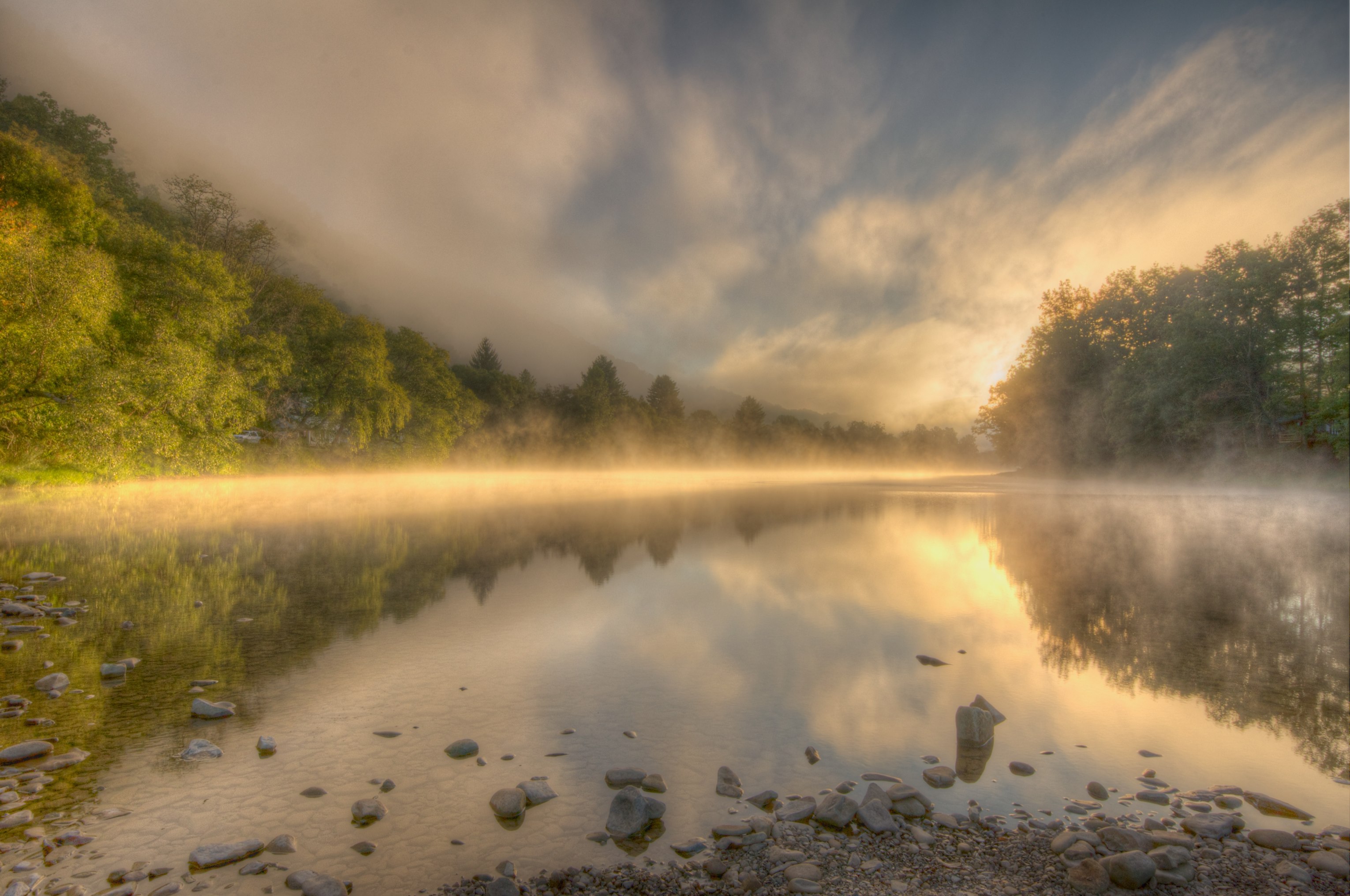
Sunset over the Greenbrier river

IMGP1687.JPG
Watering Hole
Topographic Map of Beaver Creek Rd, Marlinton, WV, USA
Find elevation by address:

Places near Beaver Creek Rd, Marlinton, WV, USA:
Huntersville
Locust Hill Inn, Cabin And Pub
1018 10th St
19 Duncan Rd
1105 3rd Ave
1116 3rd Ave
Marlinton
918 2nd Ave
Seneca Trail
96 Caribbean Ln
20518 Seneca Trail
Stoney Creek Road
6234 Edray Rd
983 Woodrow Rd
Gordon Dilley Road
Gordon Dilley Road
Gordon Dilley Road
Gordon Dilley Road
Gordon Dilley Road
Gordon Dilley Road
Recent Searches:
- Elevation of Corso Fratelli Cairoli, 35, Macerata MC, Italy
- Elevation of Tallevast Rd, Sarasota, FL, USA
- Elevation of 4th St E, Sonoma, CA, USA
- Elevation of Black Hollow Rd, Pennsdale, PA, USA
- Elevation of Oakland Ave, Williamsport, PA, USA
- Elevation of Pedrógão Grande, Portugal
- Elevation of Klee Dr, Martinsburg, WV, USA
- Elevation of Via Roma, Pieranica CR, Italy
- Elevation of Tavkvetili Mountain, Georgia
- Elevation of Hartfords Bluff Cir, Mt Pleasant, SC, USA