Elevation of Stoney Creek Road, Stoney Creek Rd, Edray, WV, USA

Location: United States > West Virginia > Pocahontas County > Edray >

Longitude: -80.101191

Latitude: 38.252363

Elevation: 678m / 2224feet

Barometric Pressure: 93KPa

Elevation Map:

elevation map of Stoney Creek Road, Stoney Creek Rd, Edray, WV, USA
Satellite Map:

Satellite map of Stoney Creek Road, Stoney Creek Rd, Edray, WV, USA
Related Photos:

old trees light red orange moon house art halloween window farmhouse photoshop dark geotagged big decay digitalart surreal haunted creepy computerart aw allrightsreserved redrum bloodmoon photoshopart bloodred rcvernors wowiekazowie bloodredmoon collectivedreamjournal pickyourpoisonchallenges thechallengefactory ayresmi copyright©rickchildersdigitalmedia2007allrightsreserved
Blood Red Moon
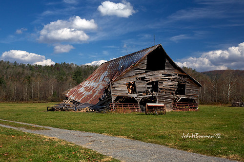
october barns oldbarns westvirginia weatheredwood tinroof 2012 rustyandcrusty mountainviews pocahontascounty greatskies canon24105l derelictbarns october2012
Barn, Beyond Revival
photosbymch landscape sunset longexposure mountains monongahelanationalforest highlandscenichighway westvirginia usa canon 5dmkiv 2017 fall autumn outdoors surreal goldenhour clouds
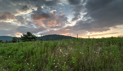
Sunset Over Scenic West Virginia
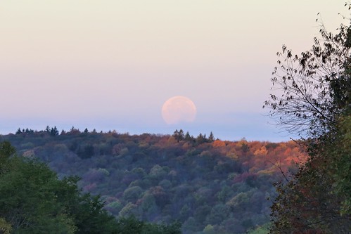
photosbymch landscape moonset sunrise mountains littlelaureloverlook highlandscenichighway monongahelanationalforest westvirginia usa canon 5dmkiii 2016 fullmoon fallcolors autumn outdoors fall
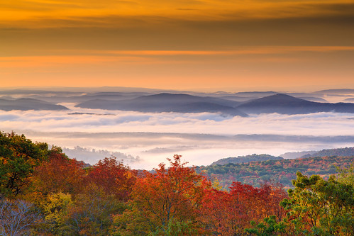
Moonset over the Fall Colors from Little Laurel
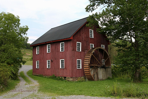
westvirginia pocahontascounty mills mcneelmill nrhp waterwheels weatheredwood august2009 august 2009 canon24105l
McNeel Mill, rear - West Virginia
wv westvirginia mustache swag marlinton roadkillfestival
#70s_swag
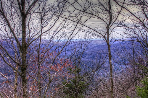
mountains spring scenery wv hdr highlandscenichighway pentaxk7
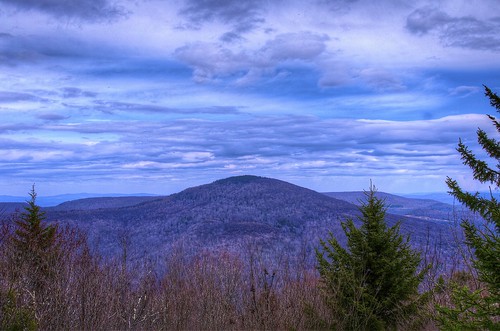
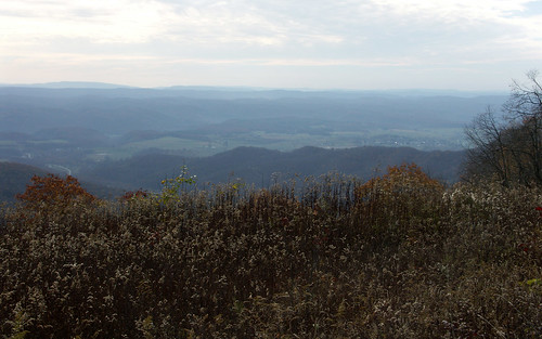
A View from Black Mountain in Spring
mountains nature forest landscape geotagged spring highlands high highway scenery view altitude scenic wv pines national westvirginia vista overlook pocahontas monongahela monongahelanationalforest pocahontascounty blackbearmountain rcvernors
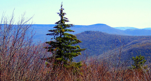
A view from the top
moon lake night geotagged westvirginia geo:lat=38305429 geo:lon=7994339
IMG_1525.JPG
bear mountains west nature forest wonderful landscape geotagged spring highlands high highway scenery view altitude scenic wv pines national vista overlook pocahontas monongahela “black highway” “west county” mountain” “wild forest” rcvernors virginia” “highlands “monongahela “pocahontas
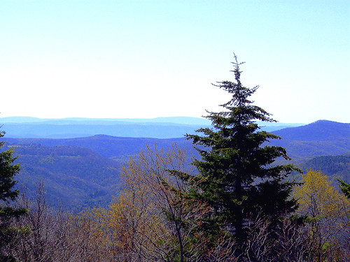
A view from the top
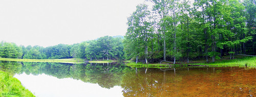
lake reflection tree water landscape pond woods scenery panoramic wv westvirginia woodrow pocahontascounty rcvernors
Panoramic Pond
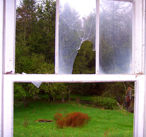
old house mountains abandoned broken window glass rural geotagged gloomy decay farm panes sharp wv rainy westvirginia woodrow pocahontascounty wildwonderfulwestvirginia rcvernors
View From The Kitchen Sink
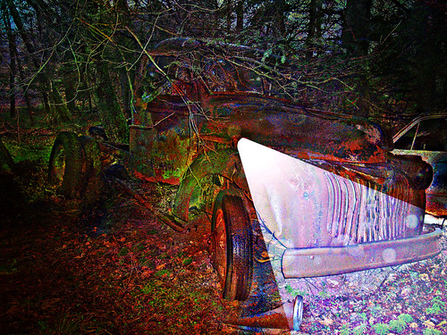
old photoshop altered truck dark geotagged one digitalart rusty computerart modified headlight allrightsreserved photoshopart rcvernors
One Headlight
trees mountains nature forest spring scenery wv vista wilderness hdr monongahelanationalforest
Beyond the Red-bud
county geotagged cabin wv pocahontas rcvernors
The View From The Cabin's Bathroom
county west mill point virginia photo pentax picture places structure historic wv national historical register pocahontas mcneel k10d 3092ed2
McNeel Mill -- Front view
westvirginia greenbrier
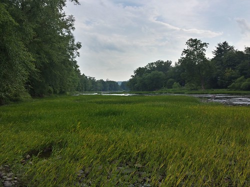
View of the Greenbrier River
road flowers house abandoned nature farmhouse landscape scenery pavement decay low pointofview wv westvirginia wildflower ruraldecay woodrow blacktop pocahontascounty
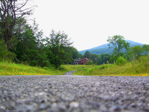
In The Road
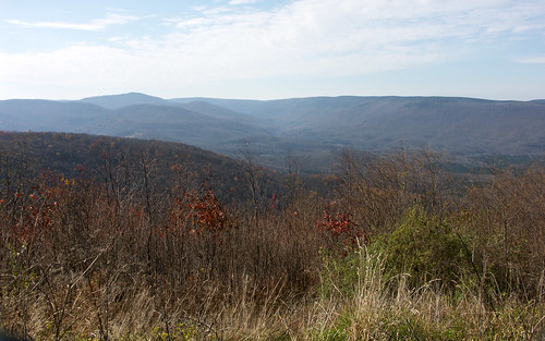
Highland Scenic Highway View 1
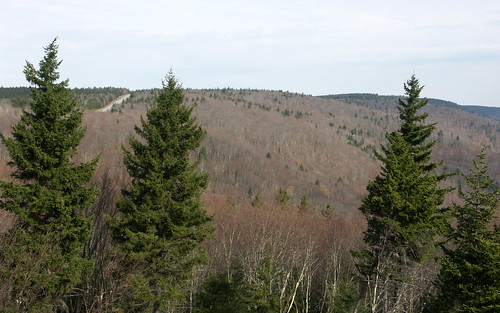
Highland Scenic Highway View 3
Highland Scenic Highway View 2
day cloudy ngc npc pwfall
Sunrise Fog Over Marlinton
county autumn trees fall leaves bicycle bicycling photo pentax path picture trail wv westvirginia pocahontas railstotrails conservancy grt railtrail greenbrierrivertrail k10d
Just north of the Buckeye trail head on the Greenbrier River Trail
county autumn trees reflection fall water leaves bicycle bicycling photo pentax path picture trail wv westvirginia pocahontas railstotrails conservancy grt railtrail greenbrierrivertrail k10d
Greenbrier River
Break Thru
orange art field clouds digital photoshop altered landscape geotagged golden scenery digitalart surreal wv westvirginia computerart modified aw allrightsreserved photoshopart artisticexpression pocahontascounty rcvernors abigfave woodrowwv
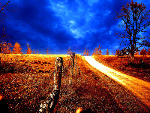
Golden Daze
panorama wv hdr pocahontascounty photomatixpro cranberrybackcountry panoedit pentaxk3
Cranberry Back Country along the Cow Pasture Trail
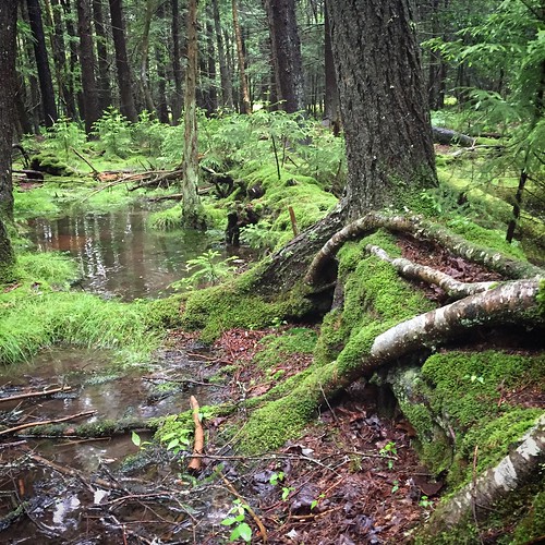
west forest virginia moss highlands woods flooding wv lush mossy pocahontas decayingtree iphone6
Tree Upon Fallen Tree
October 2012
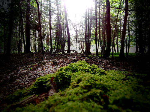
trip morning light vacation tree sunshine fog pine forest landscape geotagged moss woods scenery wv westvirginia soe aw allrightsreserved johndenver pocahontascounty rcvernors
Sunshine On My Shoulder Makes Me Happy
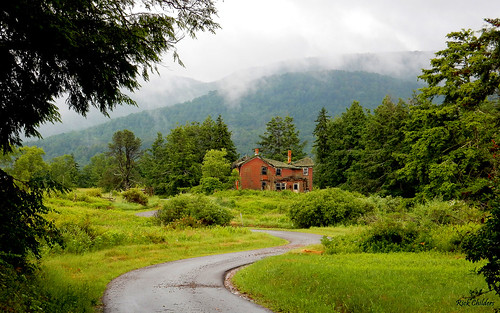
summer green wet clouds farmhouse wv rainy westvirginia summertime lush humid countryroads abandonedfarmhouse rcvernors woodrowwv rickchilders pocahontascountywv jordonroad highcountryfarmhouse woodrowunincorporated
High Country Farmhouse
Overlook on WV 150
DSCF0002.JPG
usa mountains water sunrise river landscape dawn westvirginia appalachia 2010 appalachians greenbrier tonemapped seebert
_DSC0064 (1)
Ragged Fringed Orchid
hillsboro pocahontascounty usa watogastatepark westvirginia marlinton unitedstates
Watoga State Park
trip trees vacation pine landscape geotagged scenery wv westvirginia monongahelanationalforest pocahontascounty rcvernors
Between the Pines
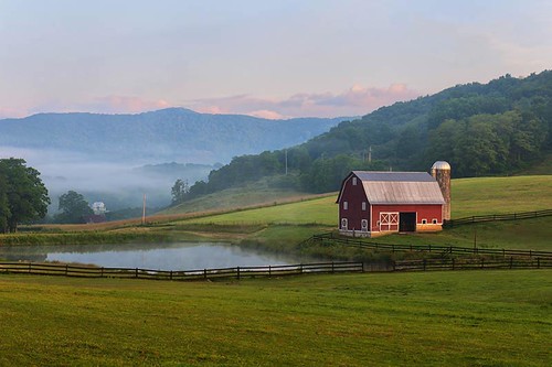
red mountains field clouds barn sunrise pond fences scene
West Virginia Dawn