Elevation of Violet Road, Violet Rd, Marlinton, WV, USA
Location: United States > West Virginia > Pocahontas County > Edray > Marlinton >
Longitude: -80.084167
Latitude: 38.1381988
Elevation: 730m / 2395feet
Barometric Pressure: 93KPa
Elevation Map:
Satellite Map:
Related Photos:

Back to the '50s
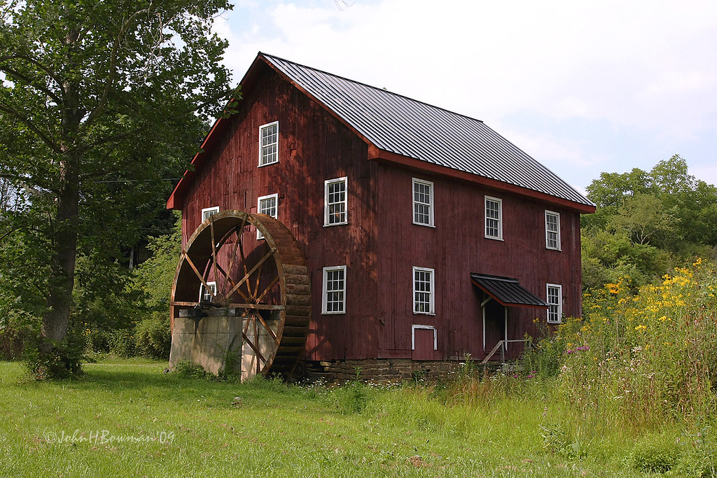
McNeel Mill, front - West Virginia
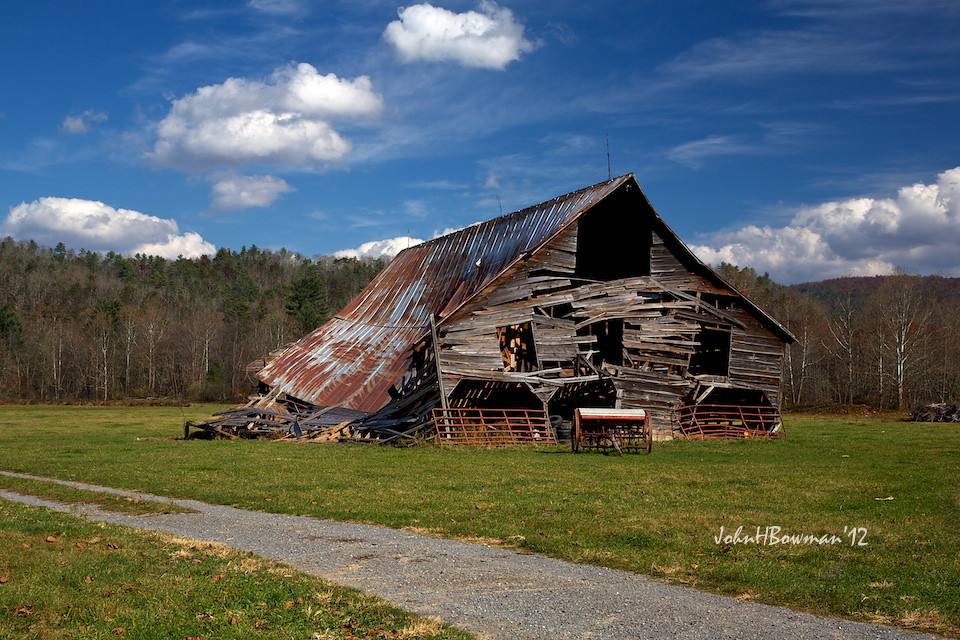
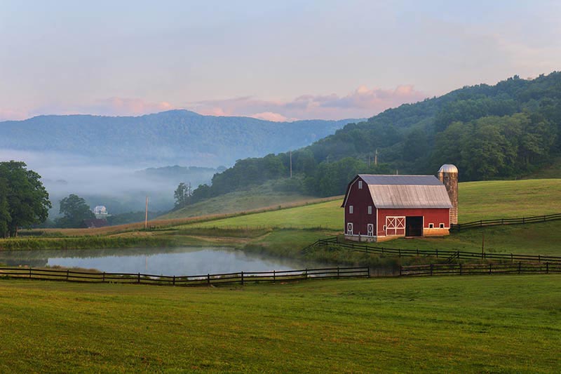
Barn, Beyond Revival
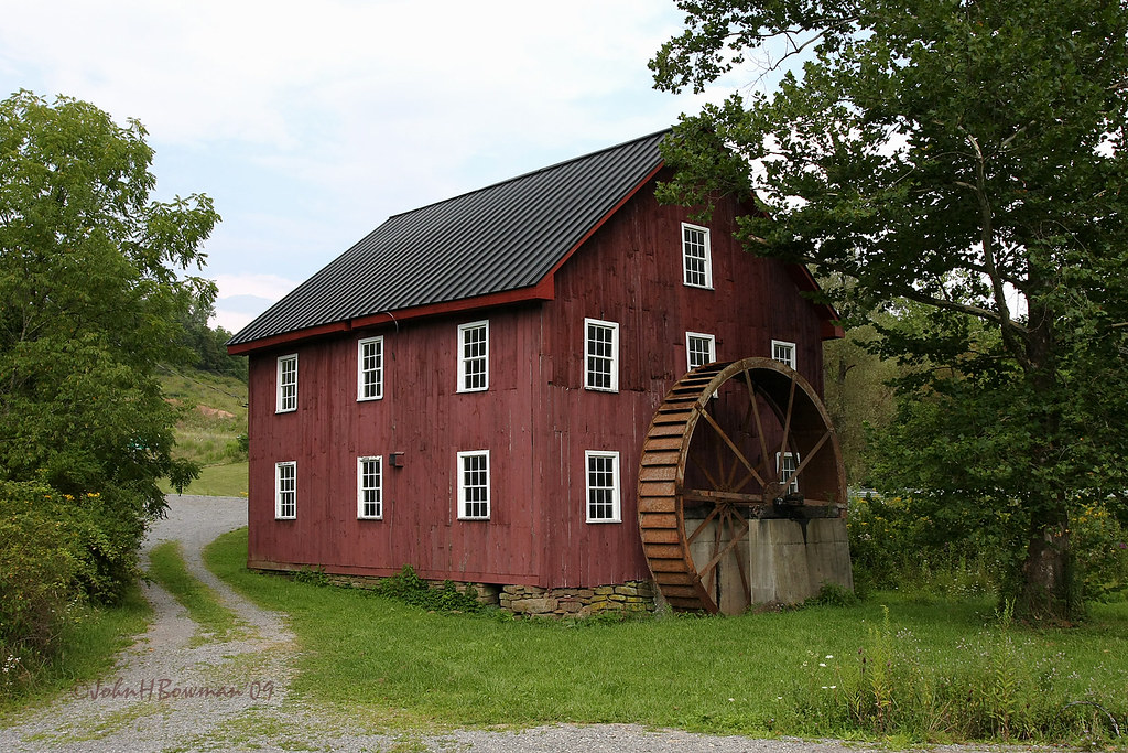
McNeel Mill, rear - West Virginia

#70s_swag
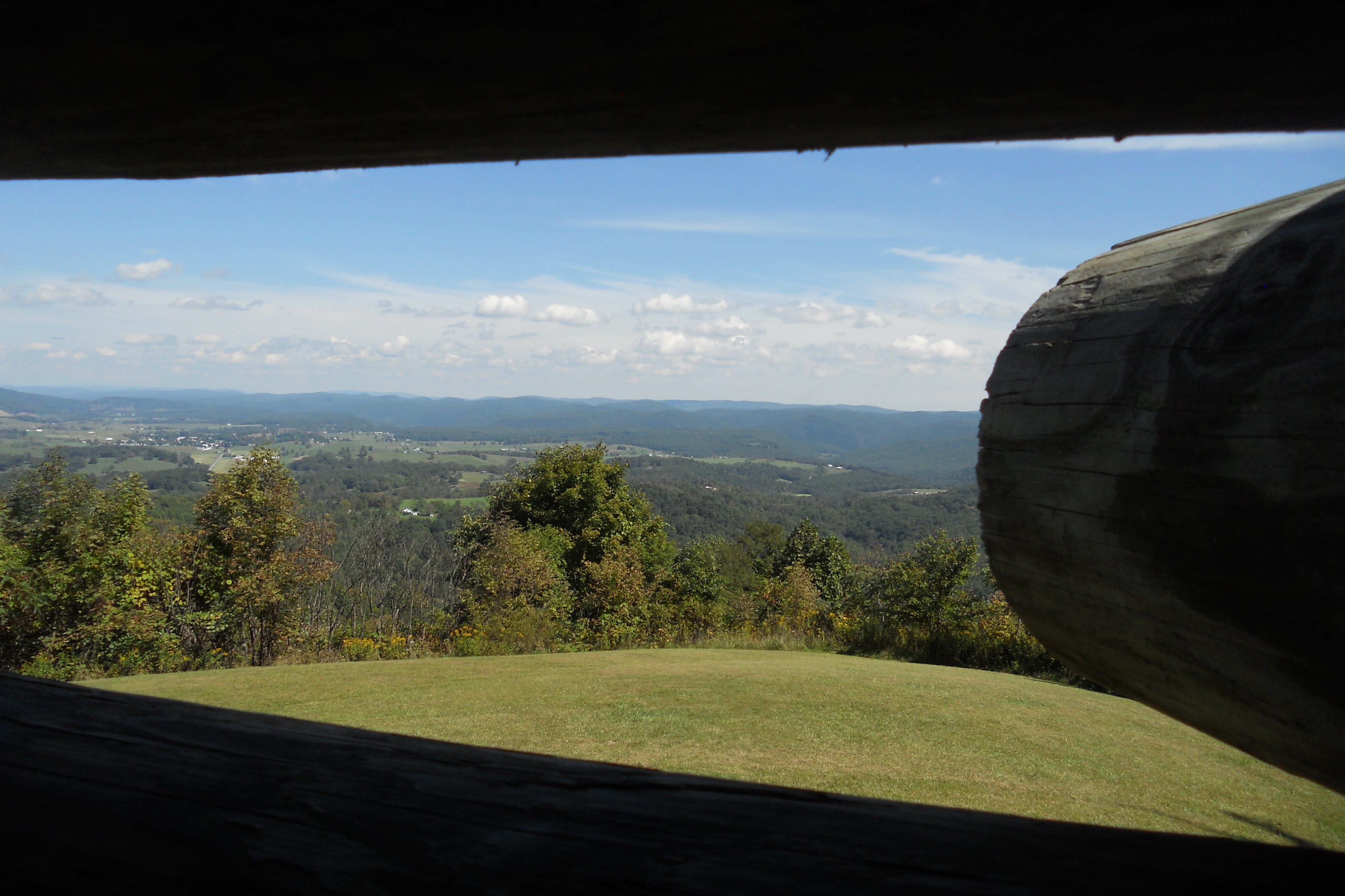
Droop Mountain Lookout Tower

McNeel Mill -- Rear view

View of the Greenbrier River

McNeel Mill -- Front view
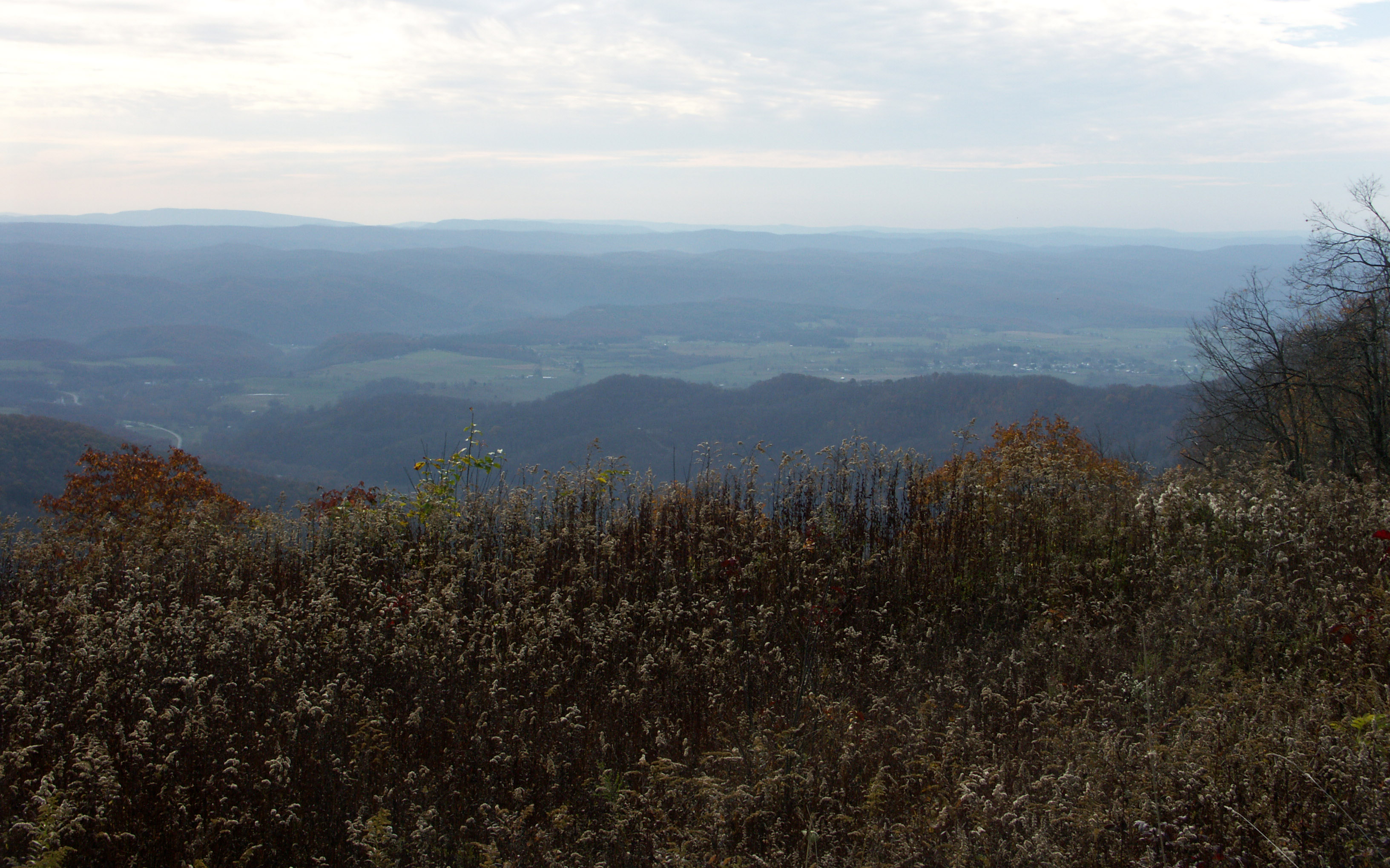
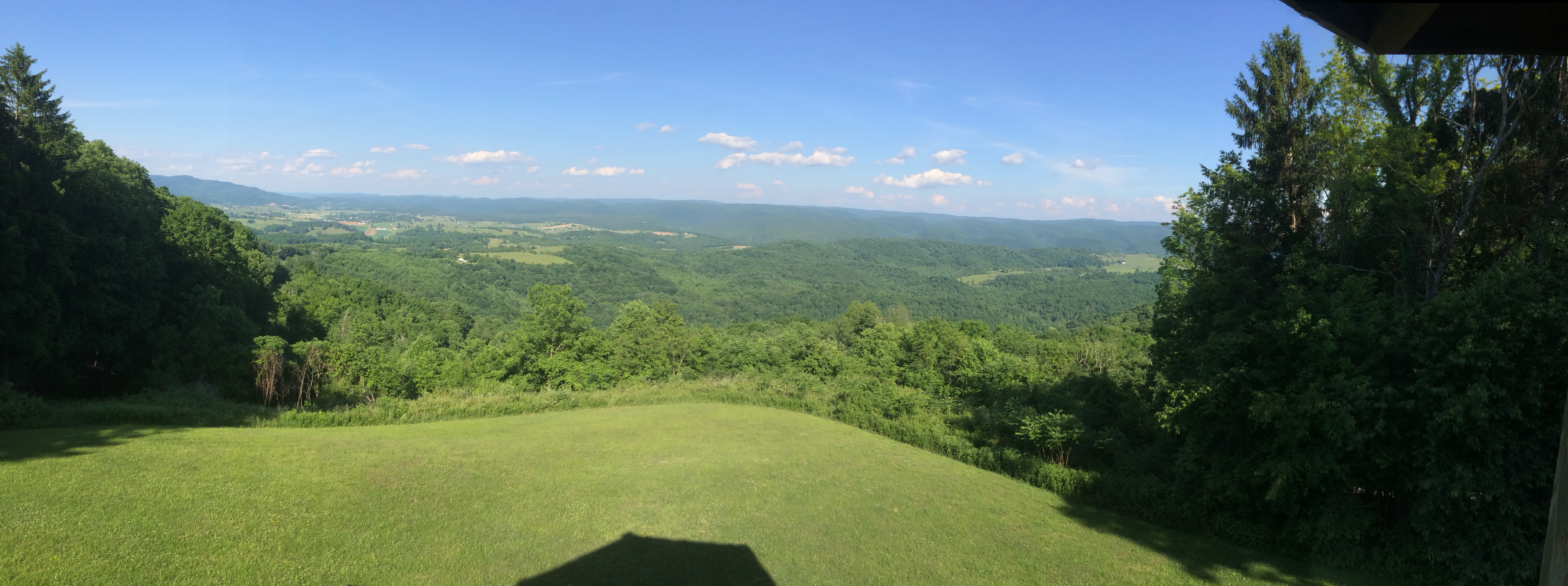
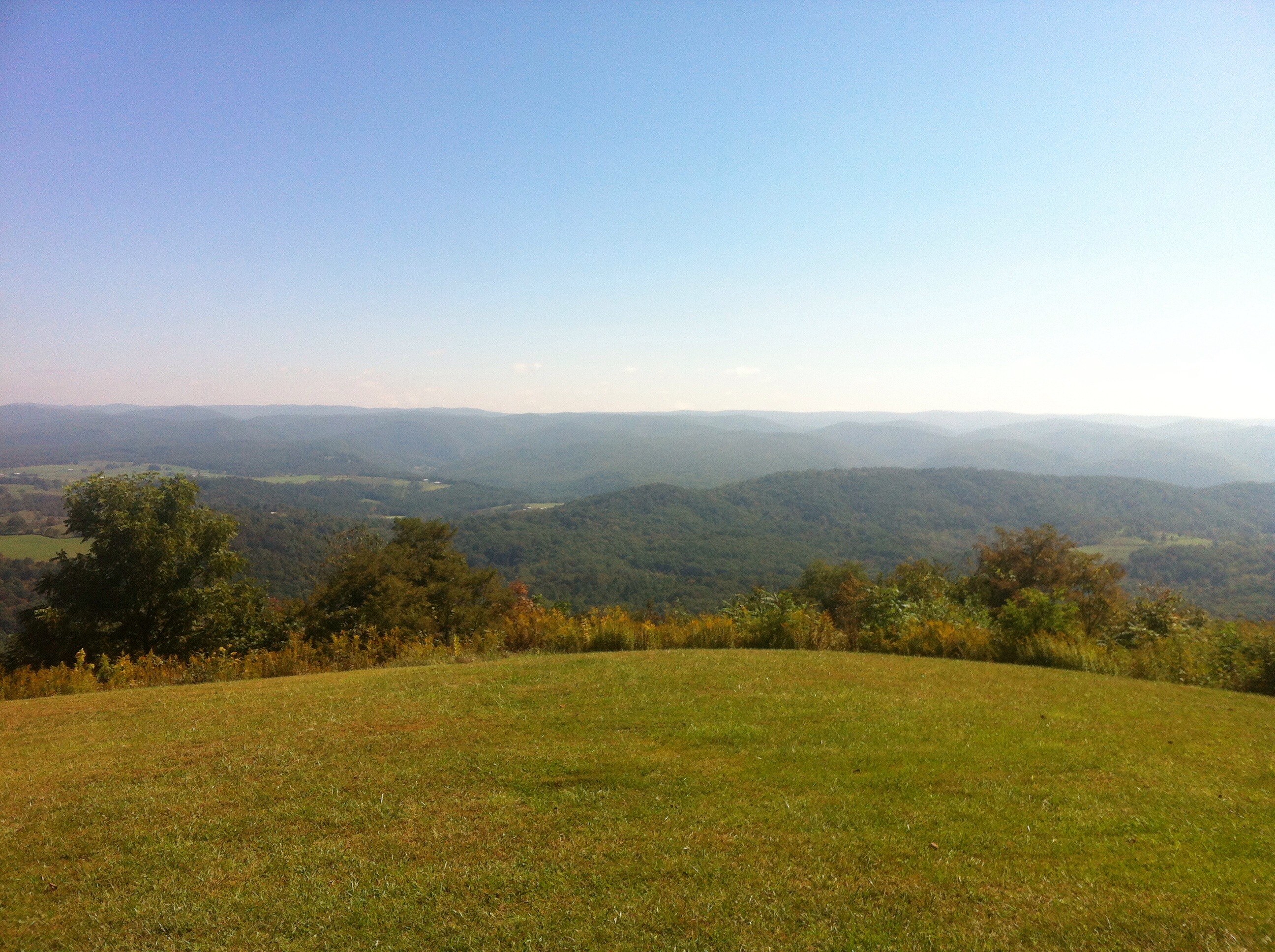
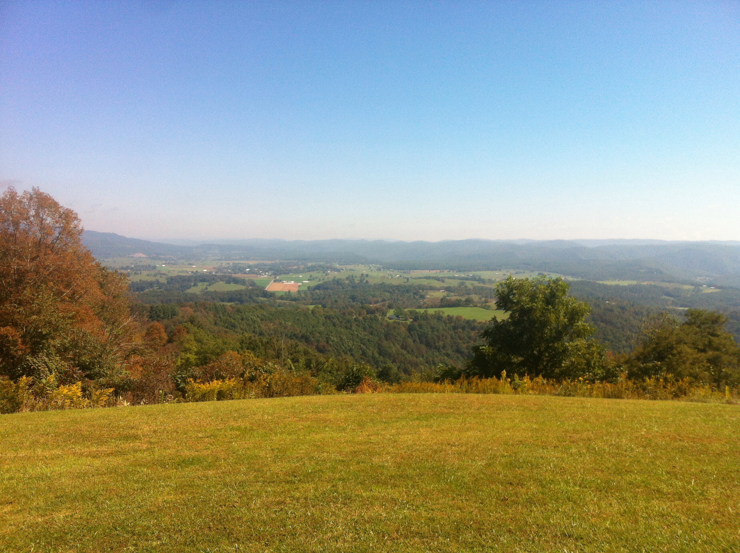
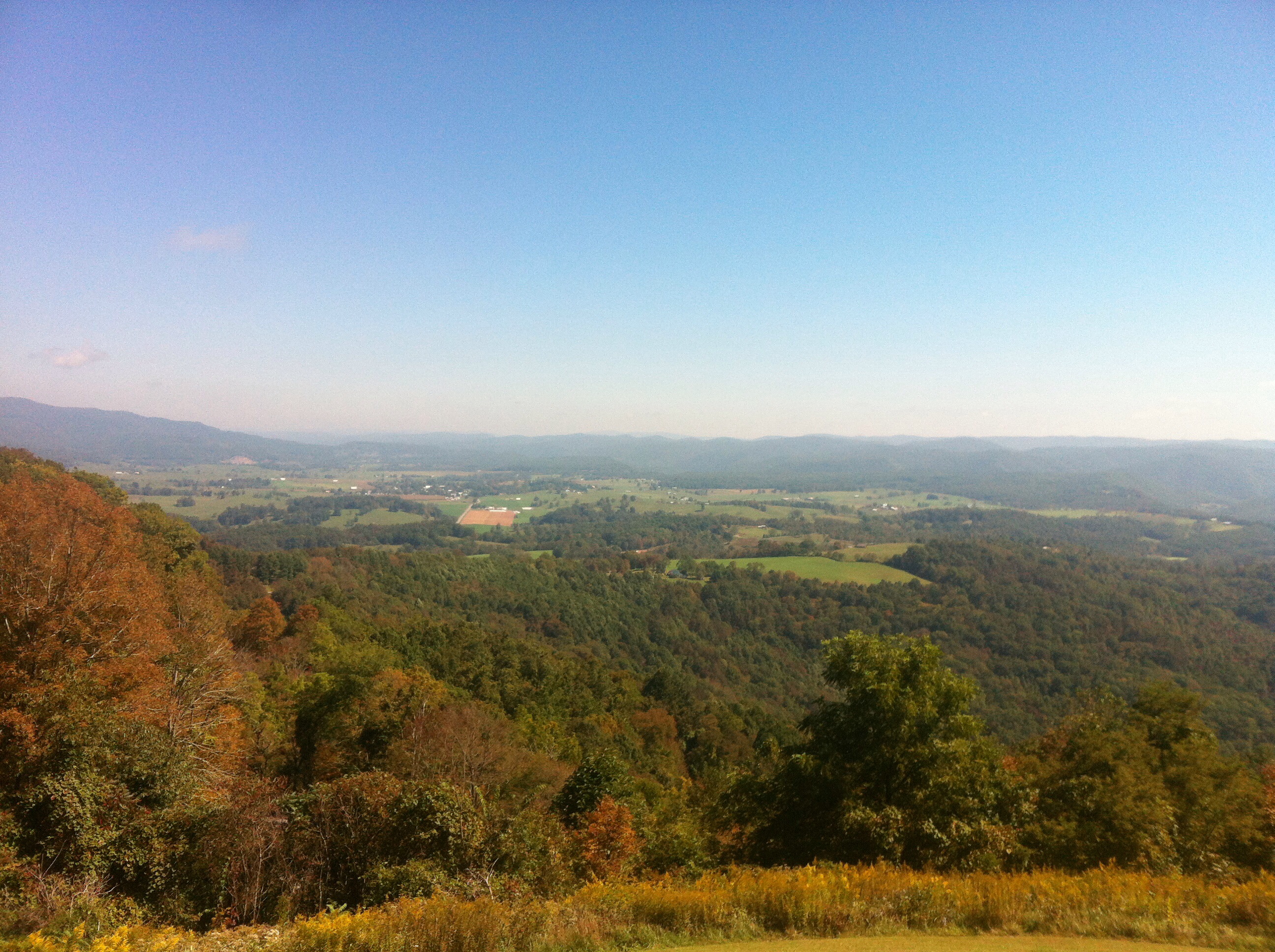
Highland Scenic Highway View 2
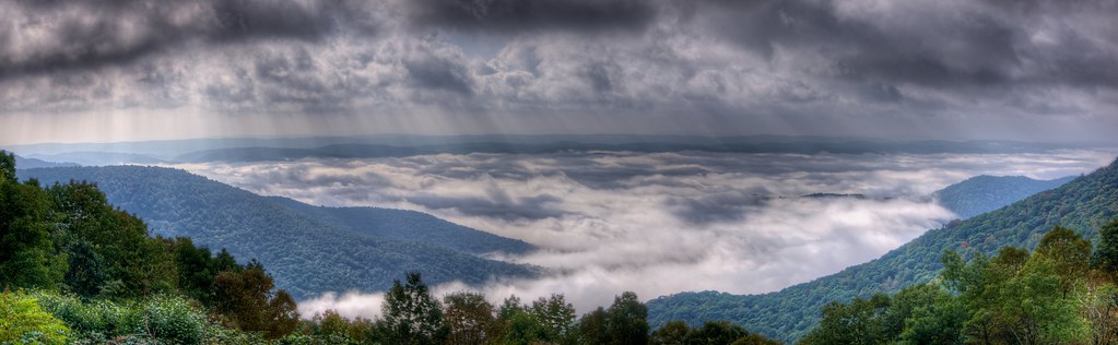
A View from WV's Highland Scenic Highway
What a pretty view
Loft, Watoga Cabin #7 (2237)

View of the Greenbrier River from the Watoga Bridge

Highland Scenic Highway WV - 2016-05-28 (4)
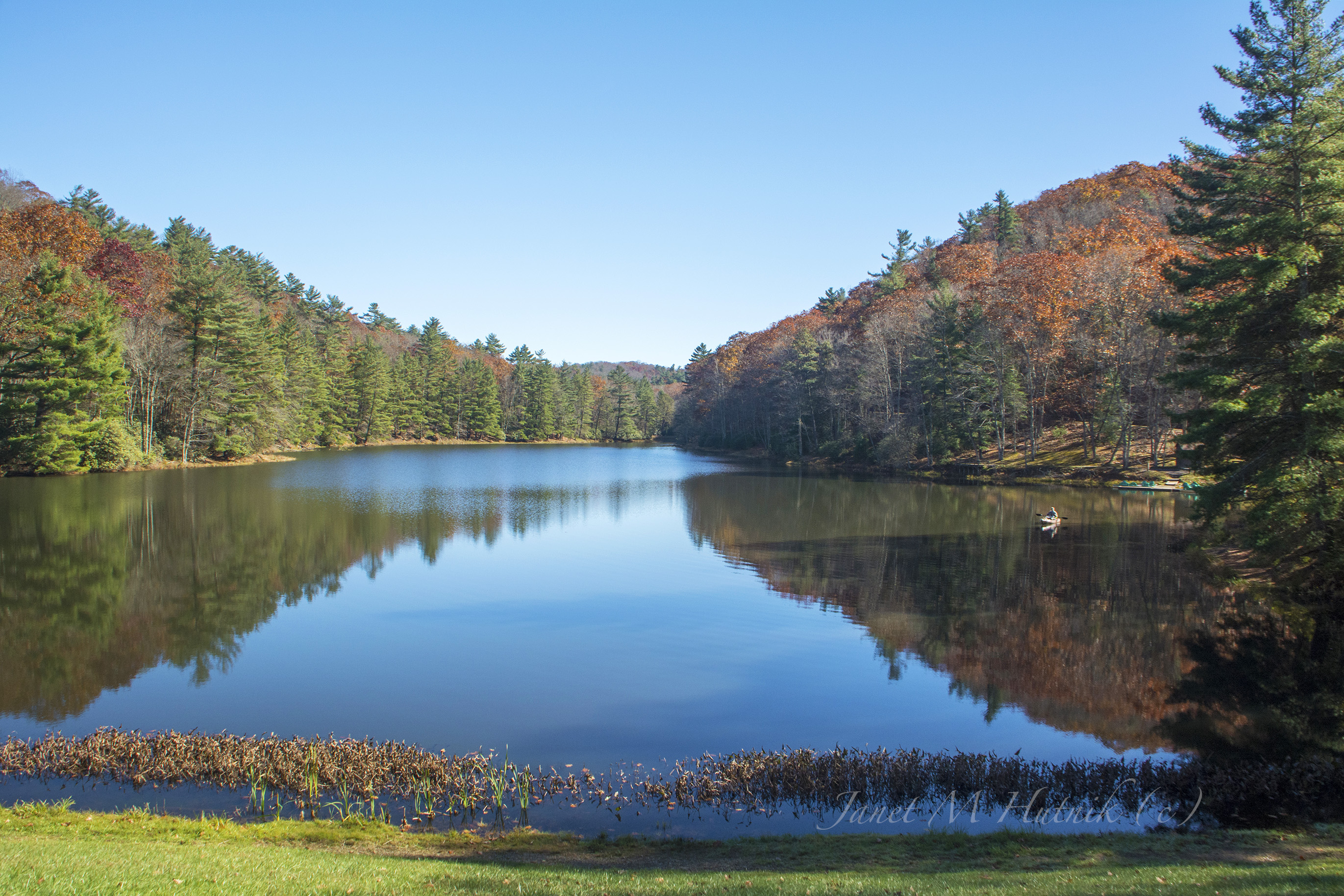
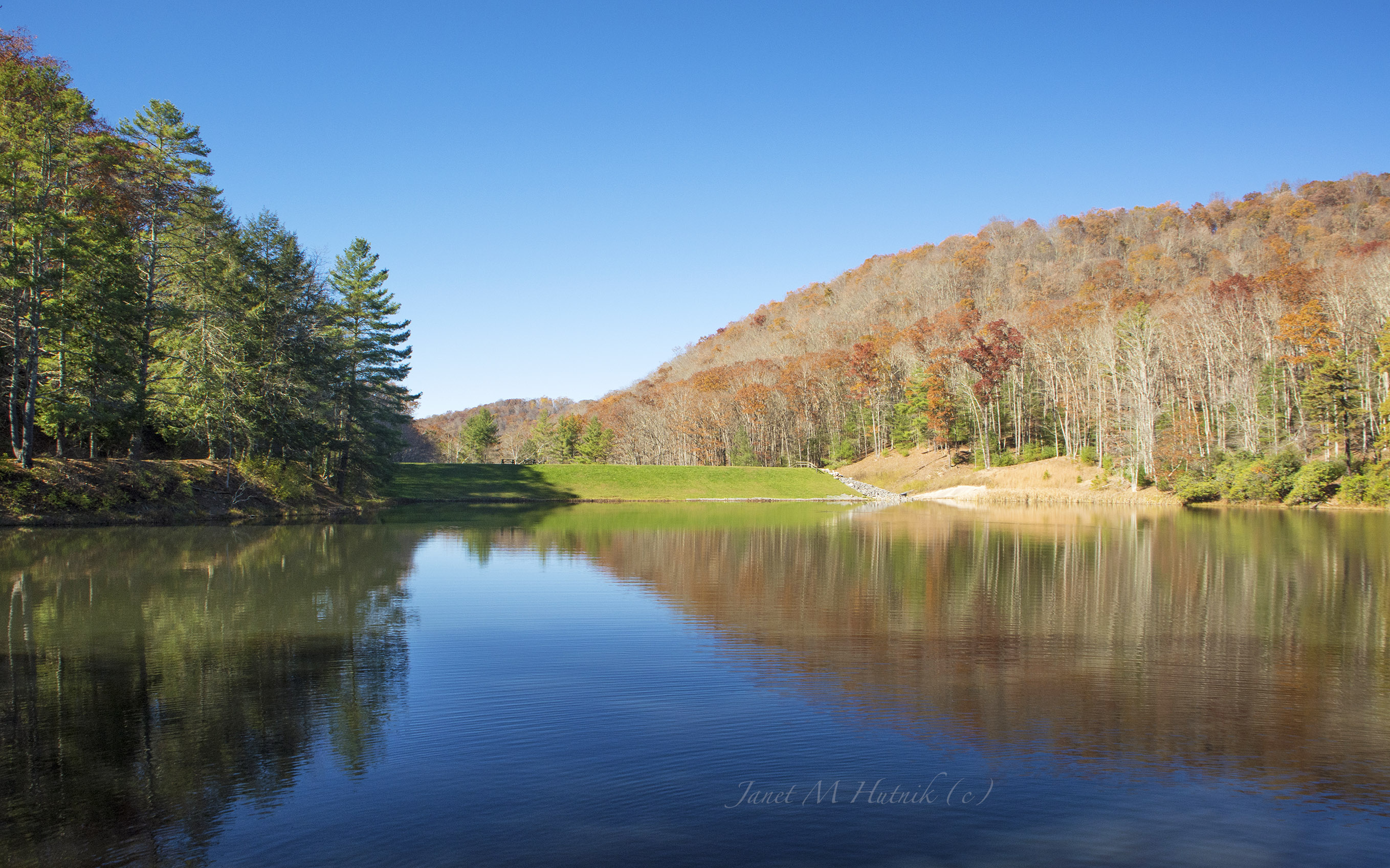
Watoga State Park
November at Watoga
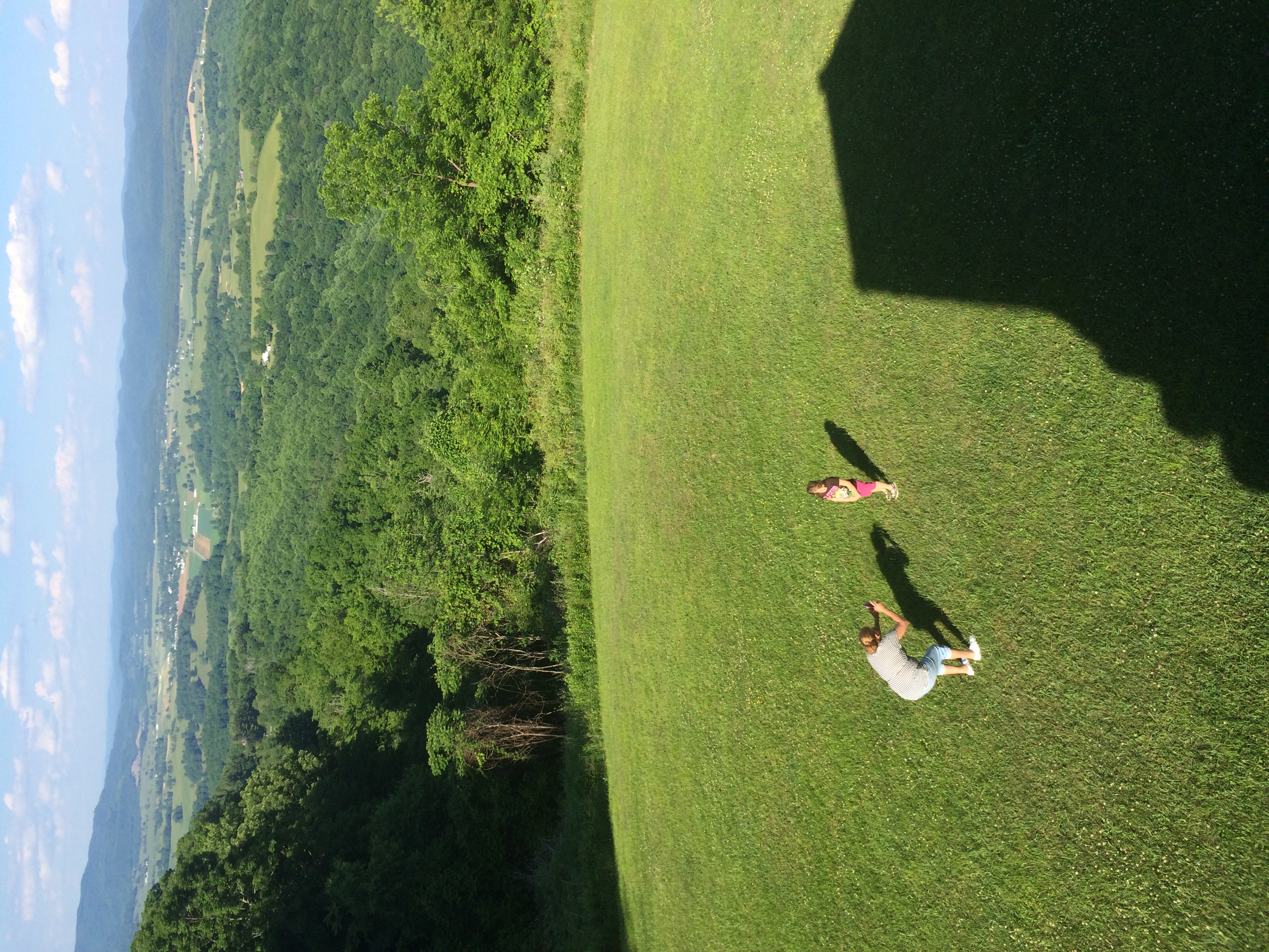
Katie and mom at Droop Mountain WV
WV state trip
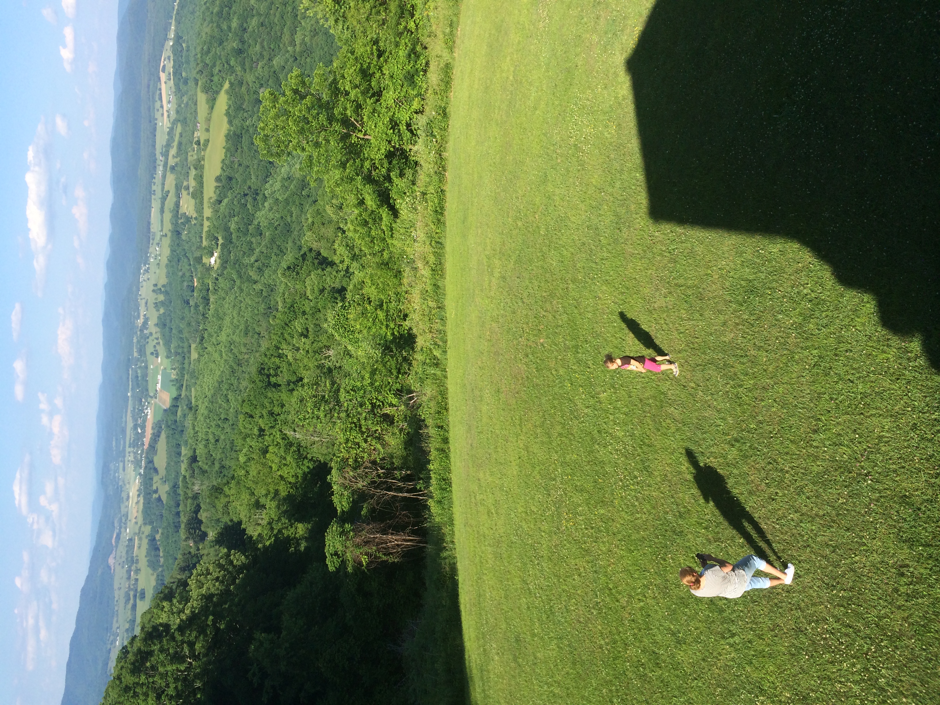
Katie and Mom at Droop Mountain WV
West Virginia Dawn
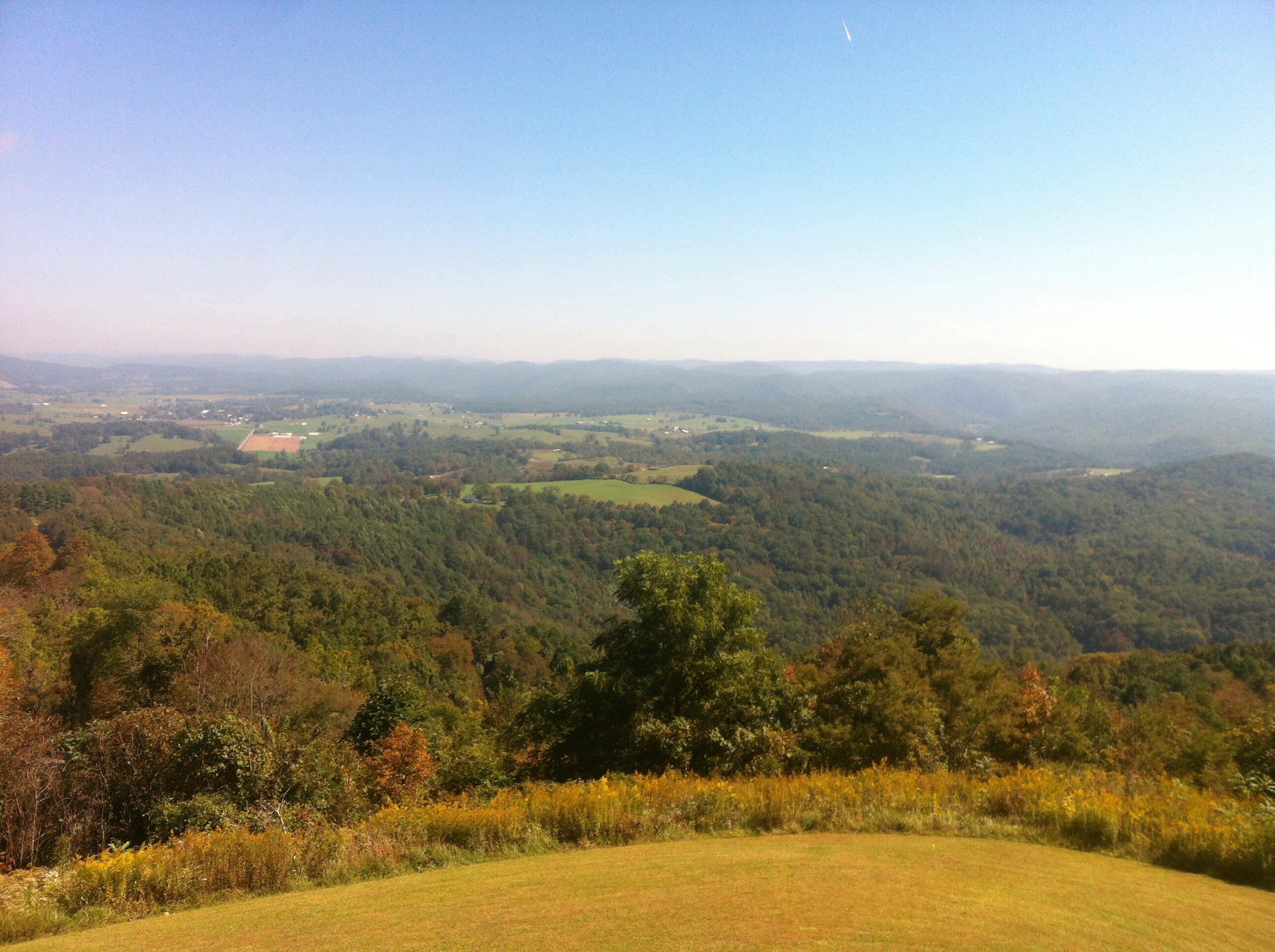
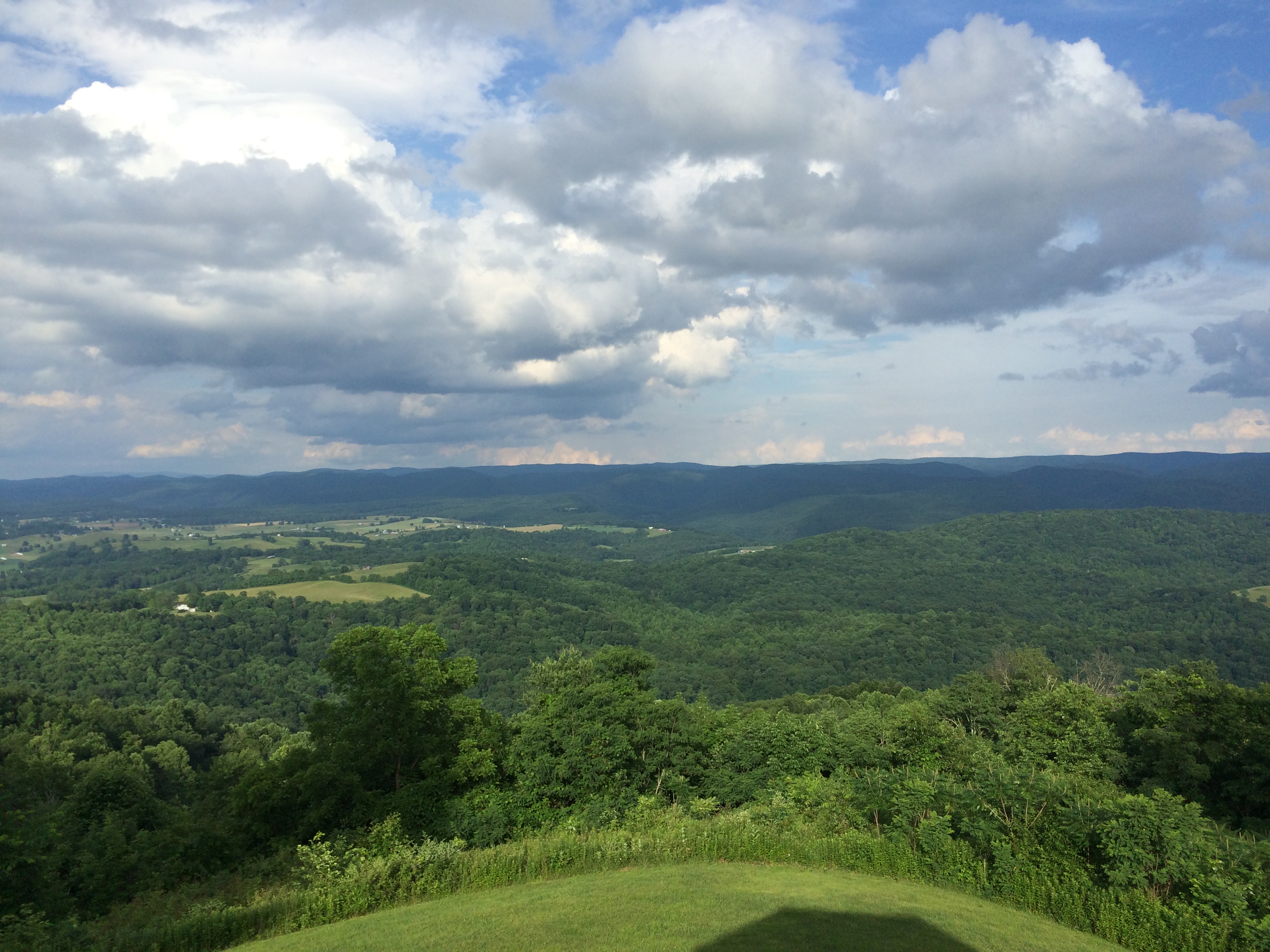
Droop Mountain State Park
Droop Mountain WV
Droop Mountain State Park
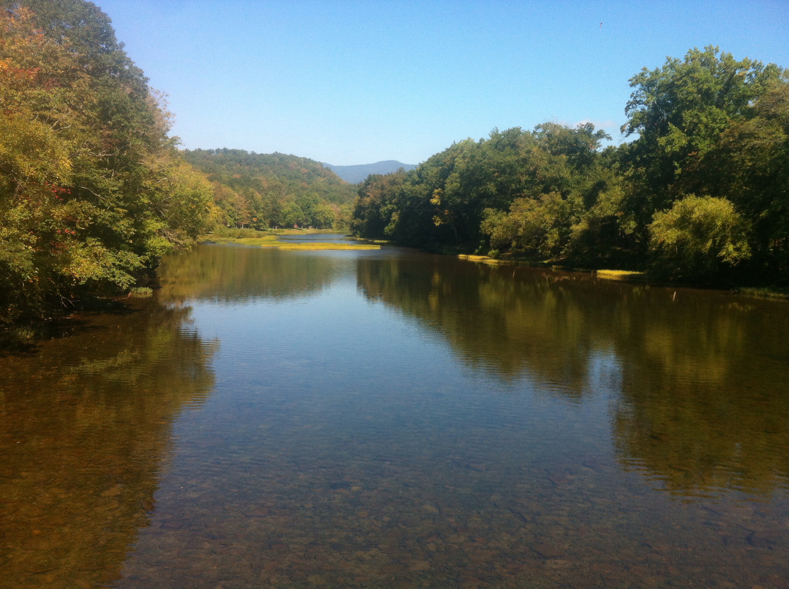
Greenbrier river
Droop Mountain State Park
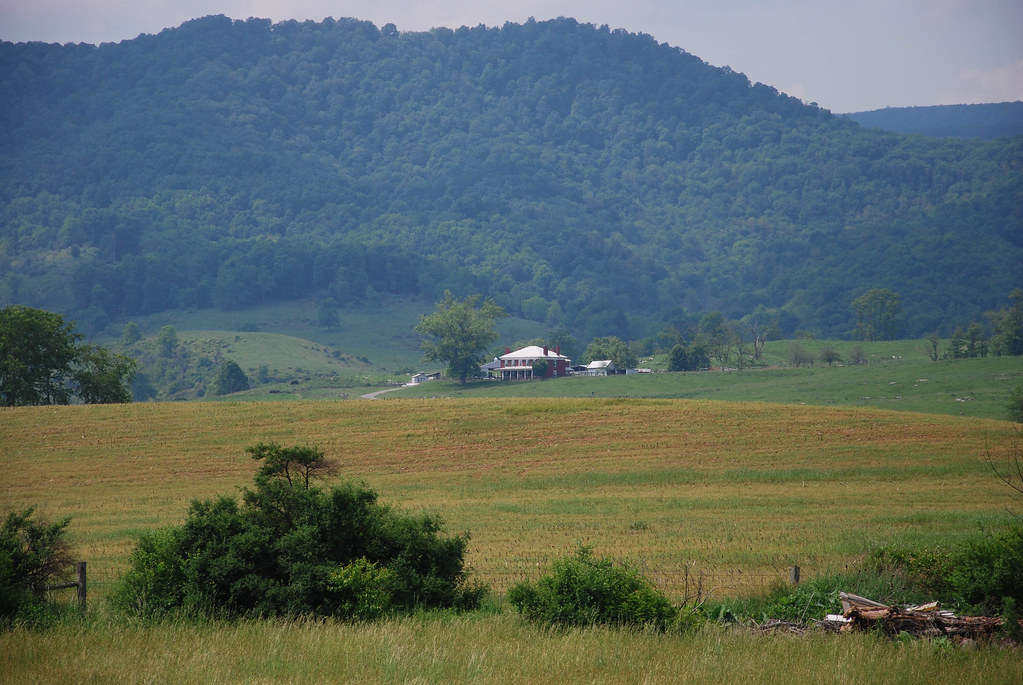
Near Hillsboro, WV

Droop Mountain State Park
Droop Mountain State Park

Just north of the Buckeye trail head on the Greenbrier River Trail
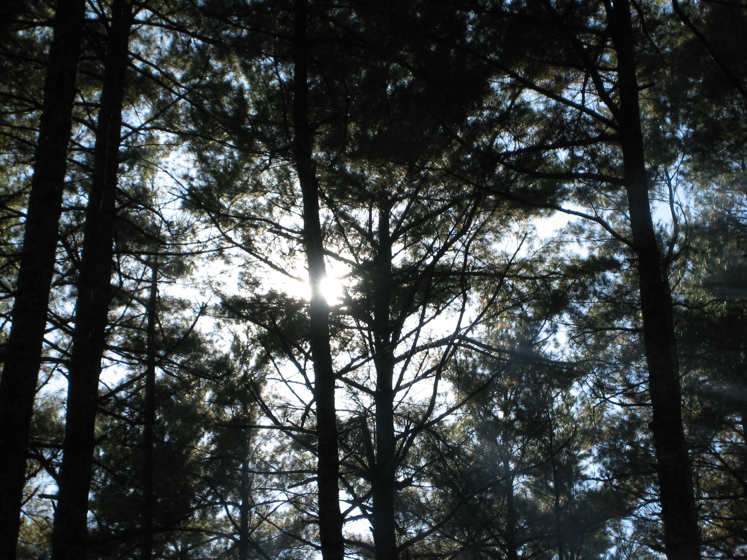
sun and trees

Droop Mountain Battlefield State Park

Greenbrier River
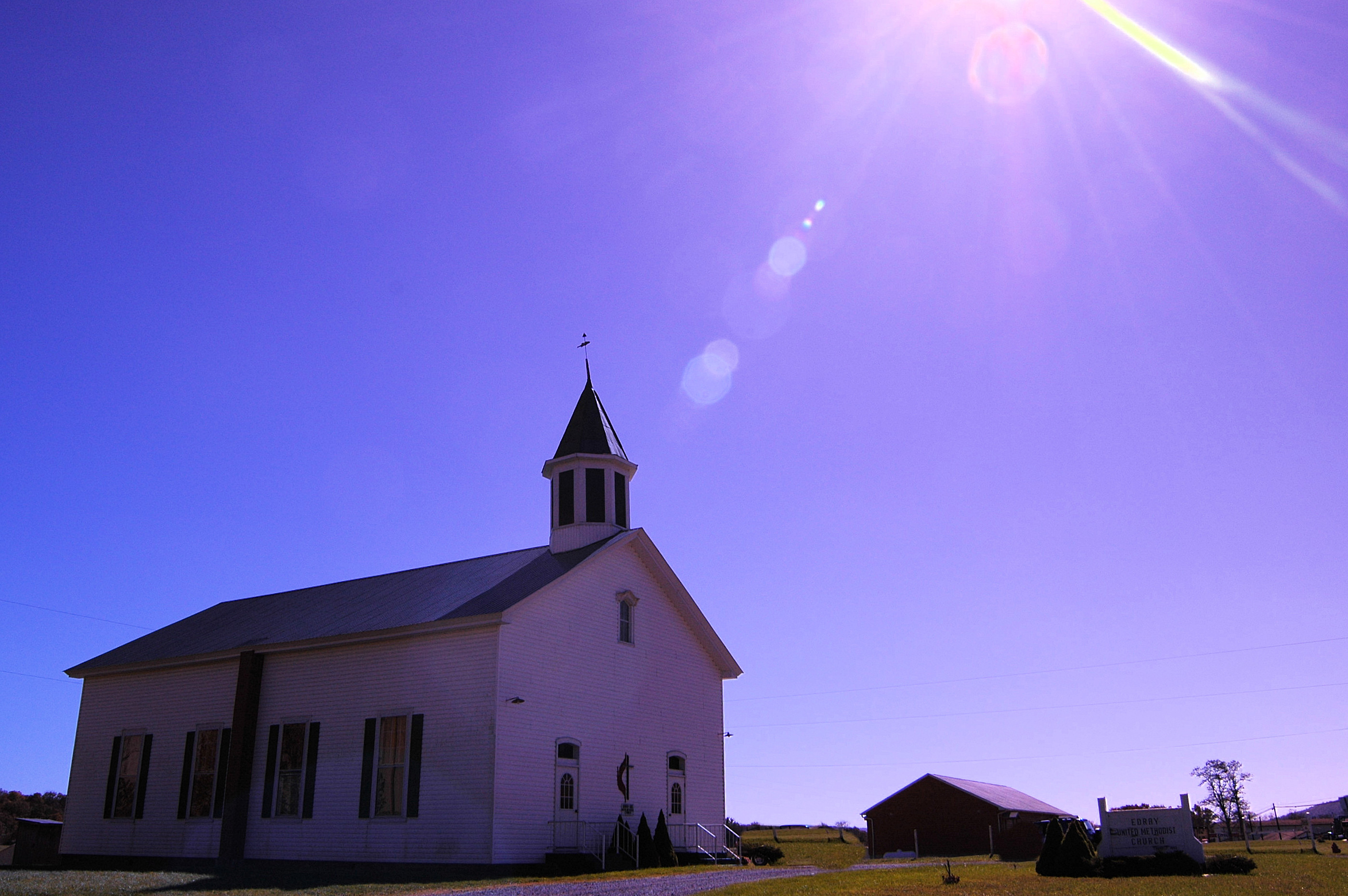
Methodist Church (built 1883) Edray, WV

Juvenile Indigo Bunting
Topographic Map of Violet Road, Violet Rd, Marlinton, WV, USA
Find elevation by address:

Places near Violet Road, Violet Rd, Marlinton, WV, USA:
Watoga State Park
619 Anthony Creek Rd
108 4 Wheel Dr
Mountain Grove
25 Gatewood Dr, Warm Springs, VA, USA
Back Creek
Switzerland Trail
Switzerland Trail
Switzerland Trail
Warm Springs
Jackson River Turnpike, Hot Springs, VA, USA
6414 Jackson River Turnpike
Dinwiddie Trail
Bacova
Lake Bacova
Hidden Valley Campground
Cedar Creek
312 Brighton Ln
Hot Springs
The Omni Homestead Resort
Recent Searches:
- Elevation of Corso Fratelli Cairoli, 35, Macerata MC, Italy
- Elevation of Tallevast Rd, Sarasota, FL, USA
- Elevation of 4th St E, Sonoma, CA, USA
- Elevation of Black Hollow Rd, Pennsdale, PA, USA
- Elevation of Oakland Ave, Williamsport, PA, USA
- Elevation of Pedrógão Grande, Portugal
- Elevation of Klee Dr, Martinsburg, WV, USA
- Elevation of Via Roma, Pieranica CR, Italy
- Elevation of Tavkvetili Mountain, Georgia
- Elevation of Hartfords Bluff Cir, Mt Pleasant, SC, USA