Elevation of Lake Bacova, Warm Springs, VA, USA
Location: United States > Virginia > Bath County > Warm Springs > Bacova >
Longitude: -79.844204
Latitude: 38.0520686
Elevation: 560m / 1837feet
Barometric Pressure: 95KPa
Elevation Map:
Satellite Map:
Related Photos:
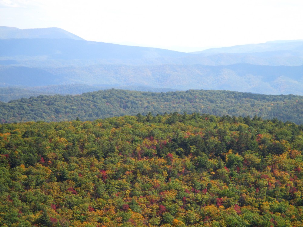
Over the Treetops

Homestead; view from screen porch, July 2007

view from Gathright Dam

view from Gathright Dam

Side View of Bath County (VA) Courthouse

Garden view from the fitness center.

Jefferson Pools
Room with a view

The Homestead Lobby

Weddings at The Homestead Resort

View from the Presidents Lounge

Bedroom View

Ingall's Overlook

Ingall's Overlook

Ingall's Overlook

DAN INGALLS OVERLOOK

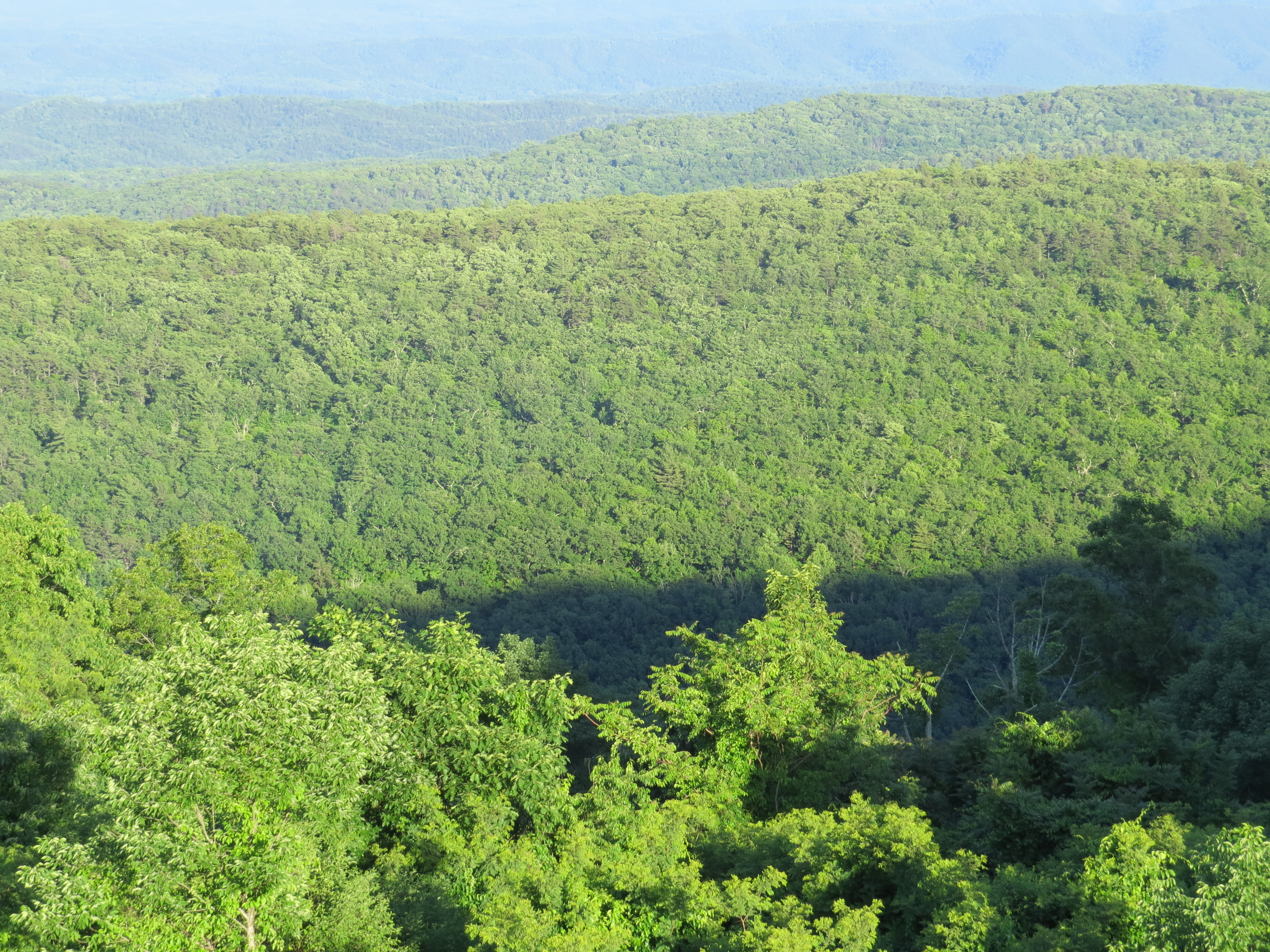
Virginia Mountains
Dan Ingalls Overlook

DAN INGALLS OVERLOOK

Dan Ingalls Overlook

View from the Old Course

Back Creek, upstream of Blowing Springs Campground, George Washington National Forest, Bath County, Virginia 2

Jackson River, The Gorge, below Gathright Dam, George Washington National Forest, Alleghany County, Virginia 2

The Homestead Panorama 2013

Douthat State Park, Virginia

Jackson River, The Gorge, below Gathright Dam, George Washington National Forest, Alleghany County, Virginia 1

Hello DC!

BATH COUNTY FARM

Misty Mountain Hop

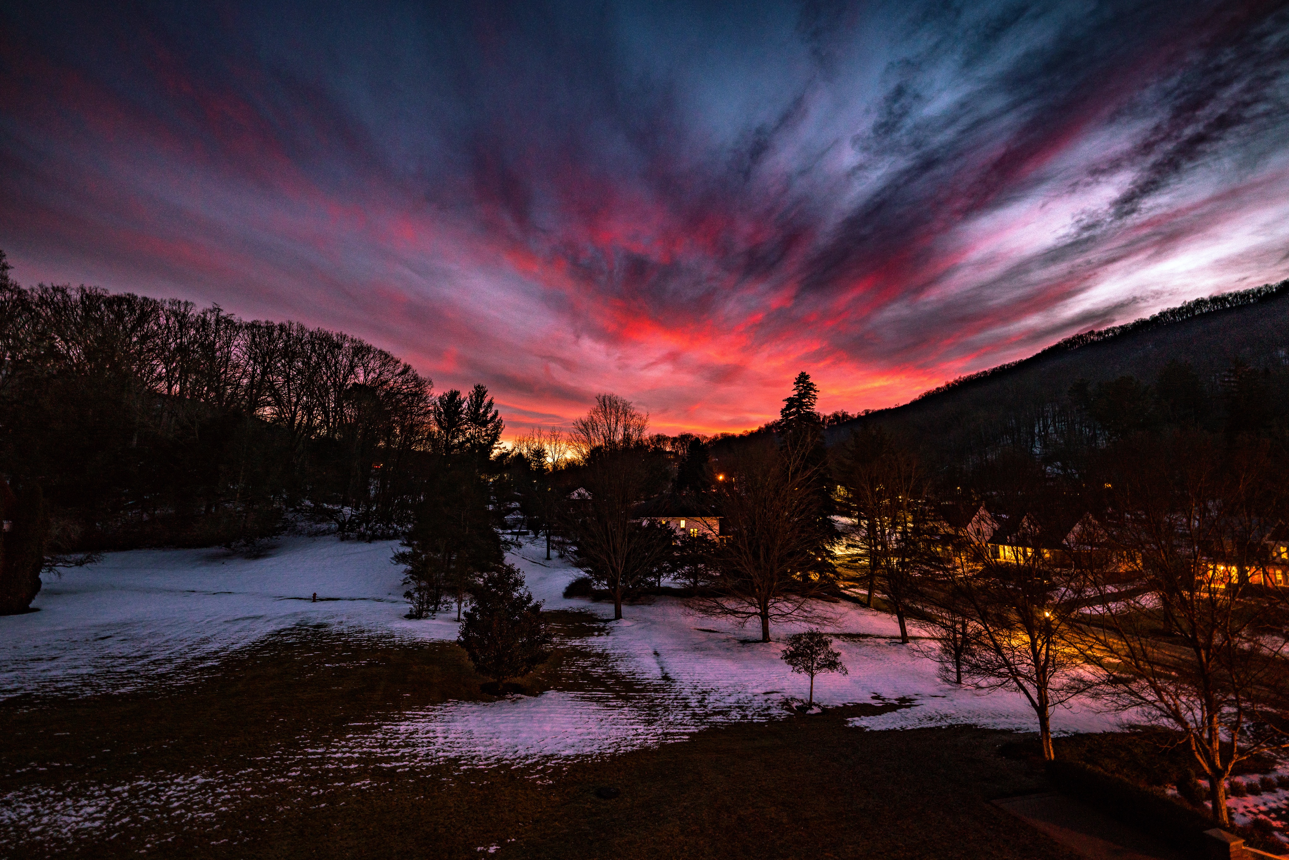
Autumn Fades

2018-09-27_04-11-17

Gorge Hike - Waterfall

Misty Morning Fishermen

Gorge Hike - Waterfall

Hwy 39 VA

The Homestead

Gorge Hike - Waterfall

MountainGrove.jpg

Hwy 39 VA

Gorge Hike - Waterfall

RT 39 Panorama
Topographic Map of Lake Bacova, Warm Springs, VA, USA
Find elevation by address:

Places near Lake Bacova, Warm Springs, VA, USA:
Bacova
Dinwiddie Trail
Cedar Creek
6414 Jackson River Turnpike
Switzerland Trail
Switzerland Trail
Switzerland Trail
Sam Snead Hwy, Hot Springs, VA, USA
Hidden Valley Campground
Jackson River Turnpike, Hot Springs, VA, USA
71 Kingstown Ln
Hot Springs
64 Deepwood Ln
The Omni Homestead Resort
Warm Springs
7696 Sam Snead Hwy
106 Park Dr
Back Creek
25 Gatewood Dr, Warm Springs, VA, USA
Mountain Grove
Recent Searches:
- Elevation of Corso Fratelli Cairoli, 35, Macerata MC, Italy
- Elevation of Tallevast Rd, Sarasota, FL, USA
- Elevation of 4th St E, Sonoma, CA, USA
- Elevation of Black Hollow Rd, Pennsdale, PA, USA
- Elevation of Oakland Ave, Williamsport, PA, USA
- Elevation of Pedrógão Grande, Portugal
- Elevation of Klee Dr, Martinsburg, WV, USA
- Elevation of Via Roma, Pieranica CR, Italy
- Elevation of Tavkvetili Mountain, Georgia
- Elevation of Hartfords Bluff Cir, Mt Pleasant, SC, USA