Elevation of Warm Springs, VA, USA
Location: United States > Virginia > Bath County >
Longitude: -79.852081
Latitude: 38.1085333
Elevation: 895m / 2936feet
Barometric Pressure: 91KPa
Elevation Map:
Satellite Map:
Related Photos:
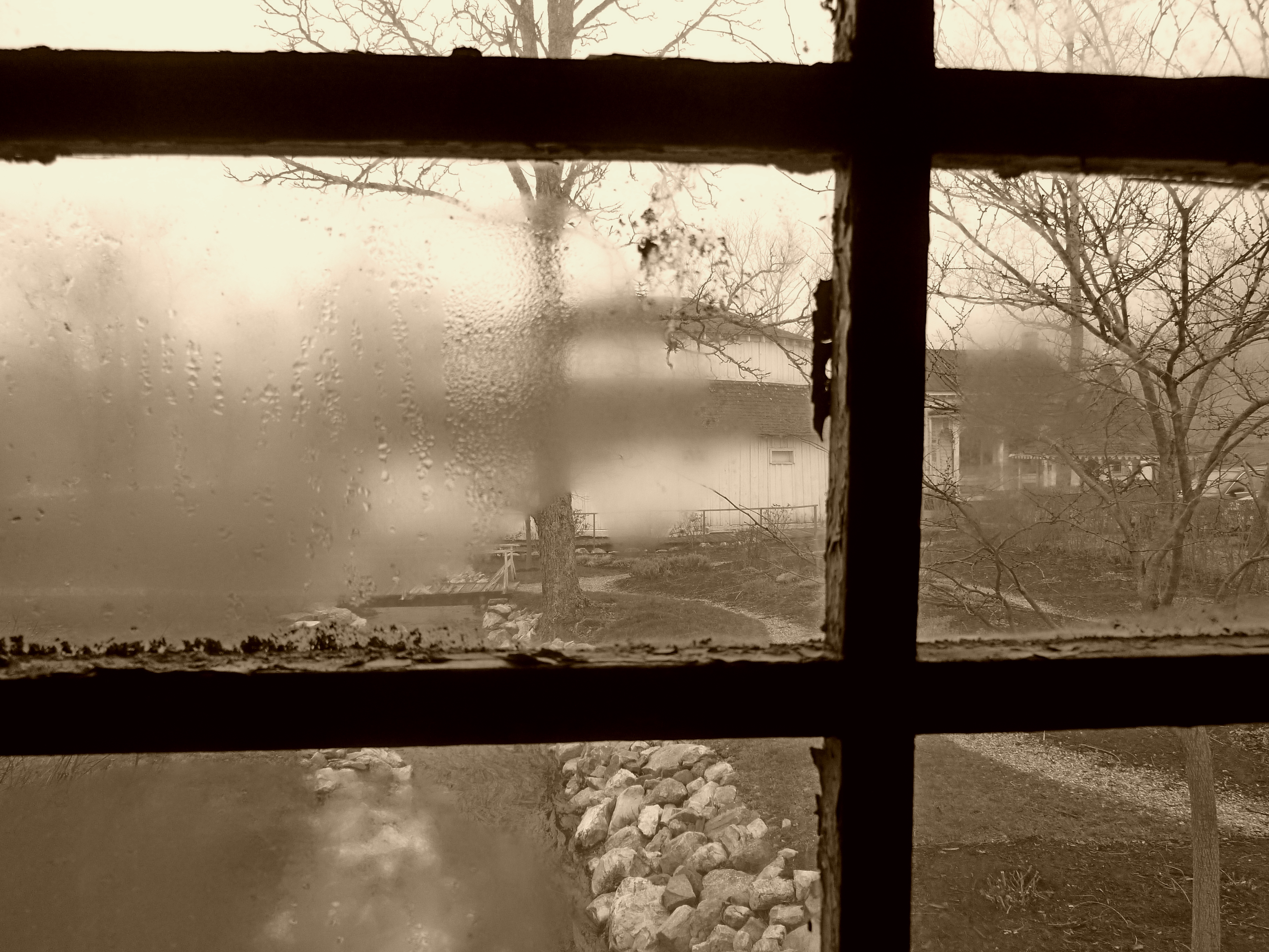
Jefferson Pools
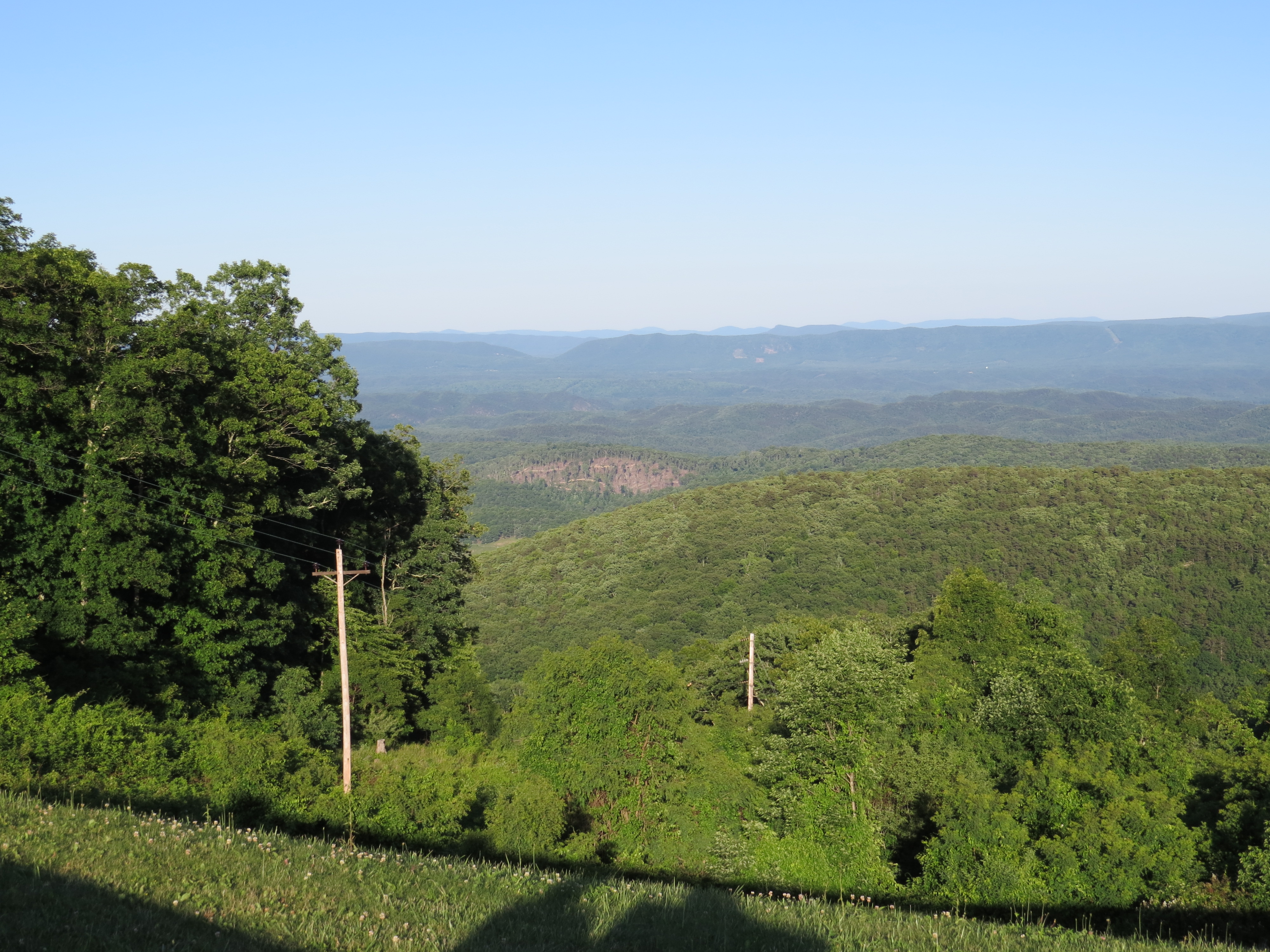
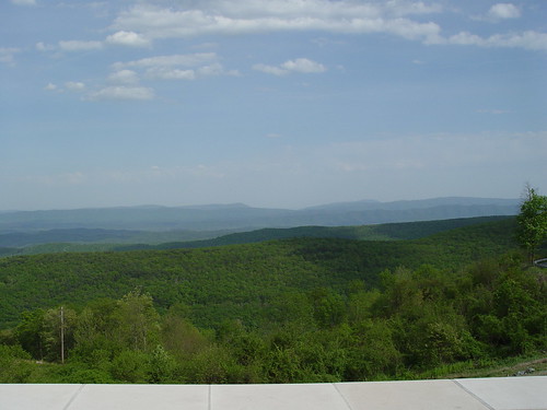
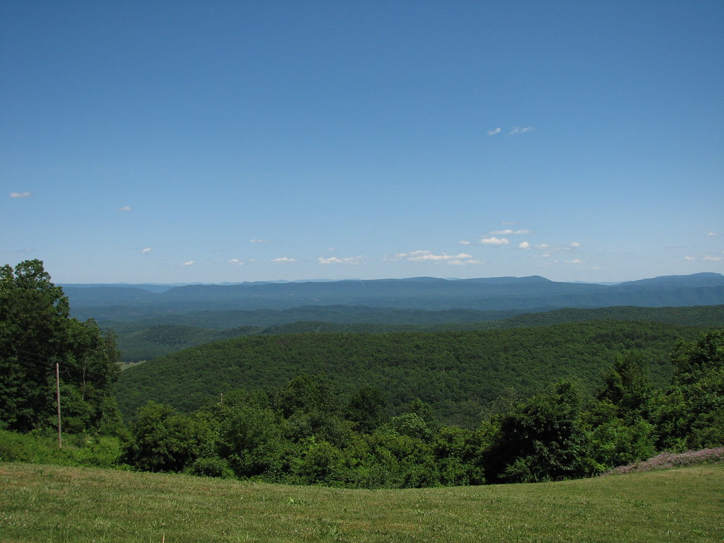
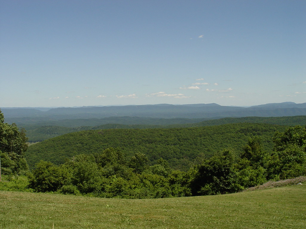
Dan Ingalls Overlook
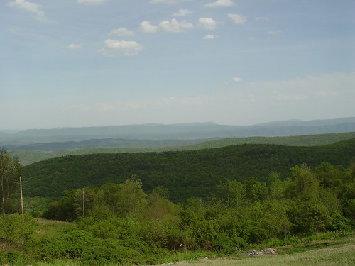
VA Overlook
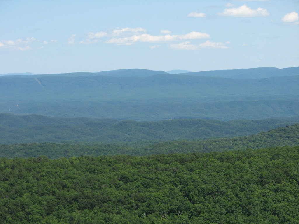
Dan Ingalls Overlook
Dan Ingalls Overlook
Ingall's Overlook
Ingall's Overlook
Ingall's Overlook
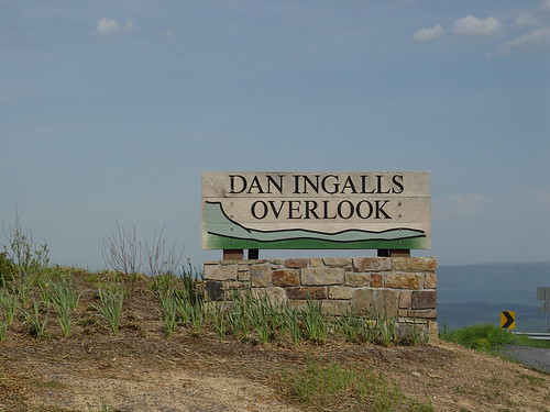
DAN INGALLS OVERLOOK

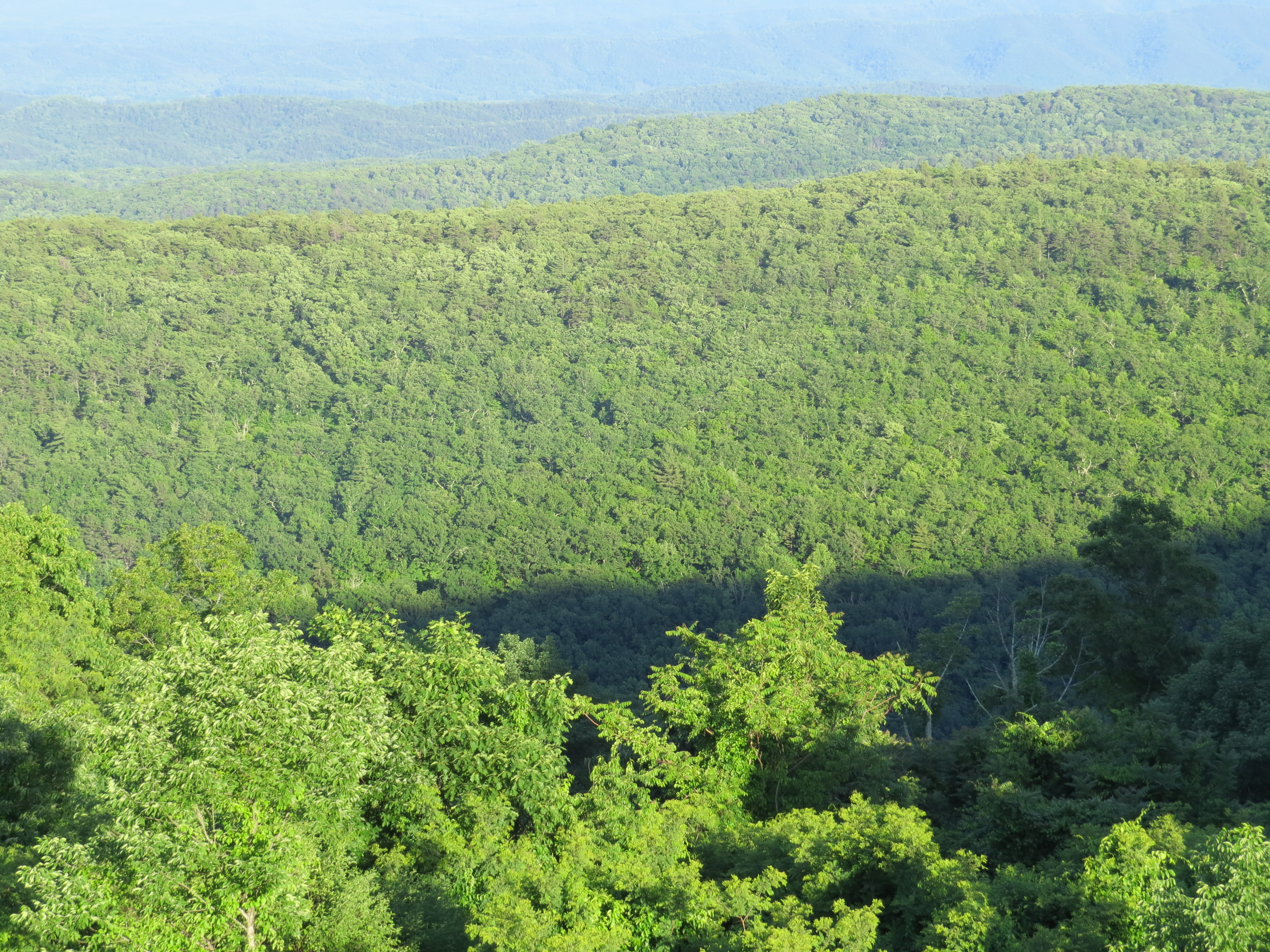
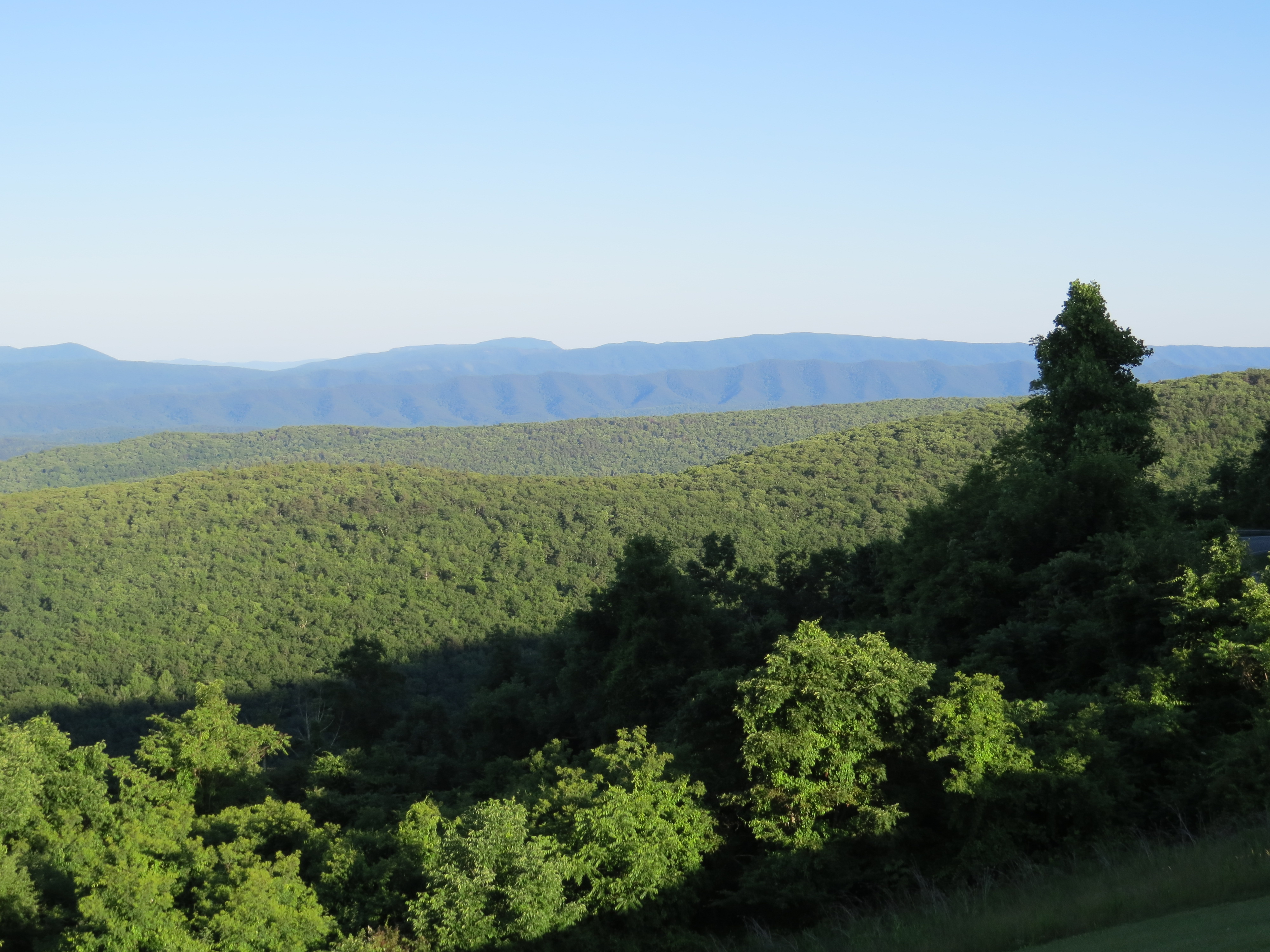
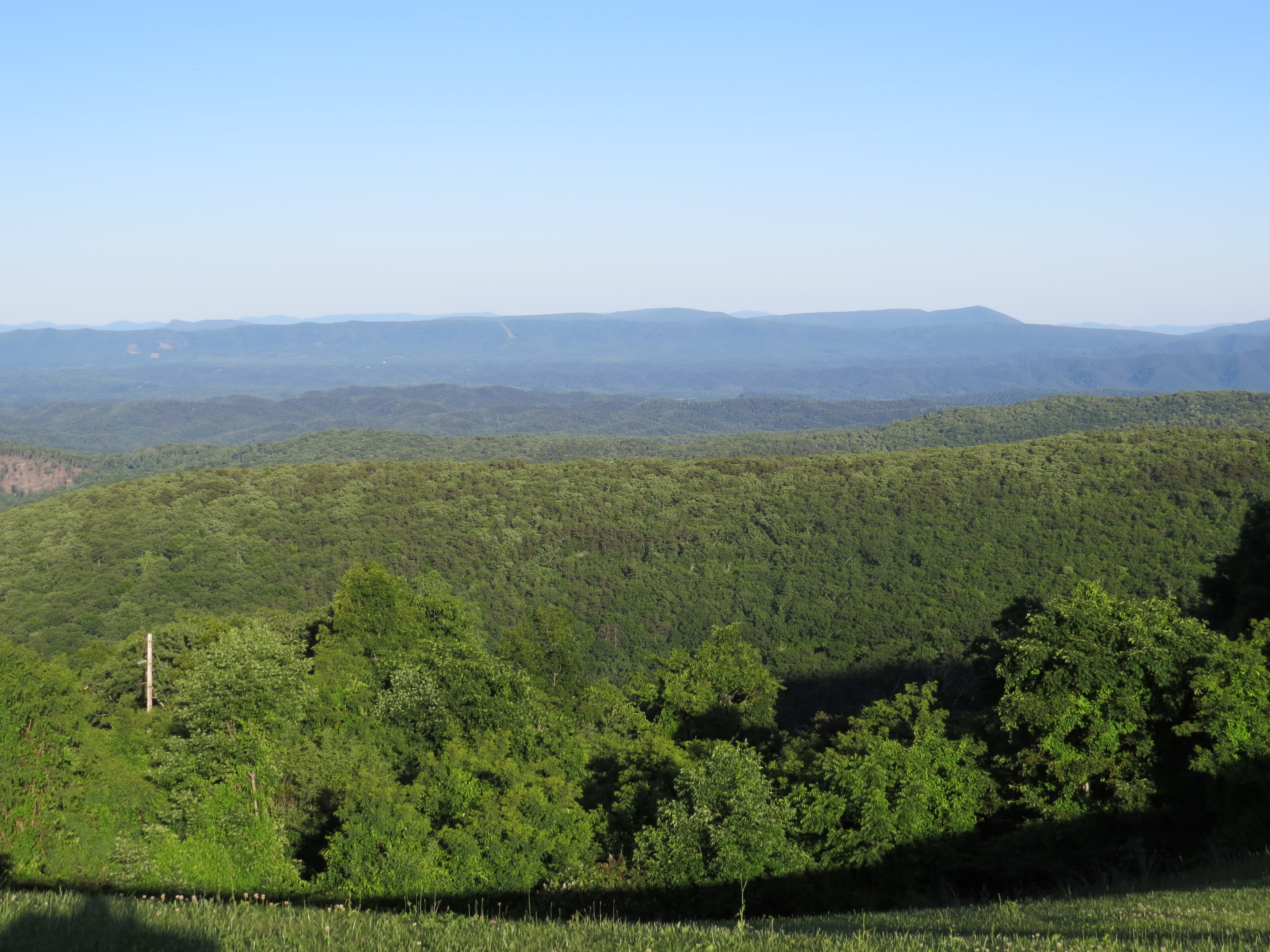
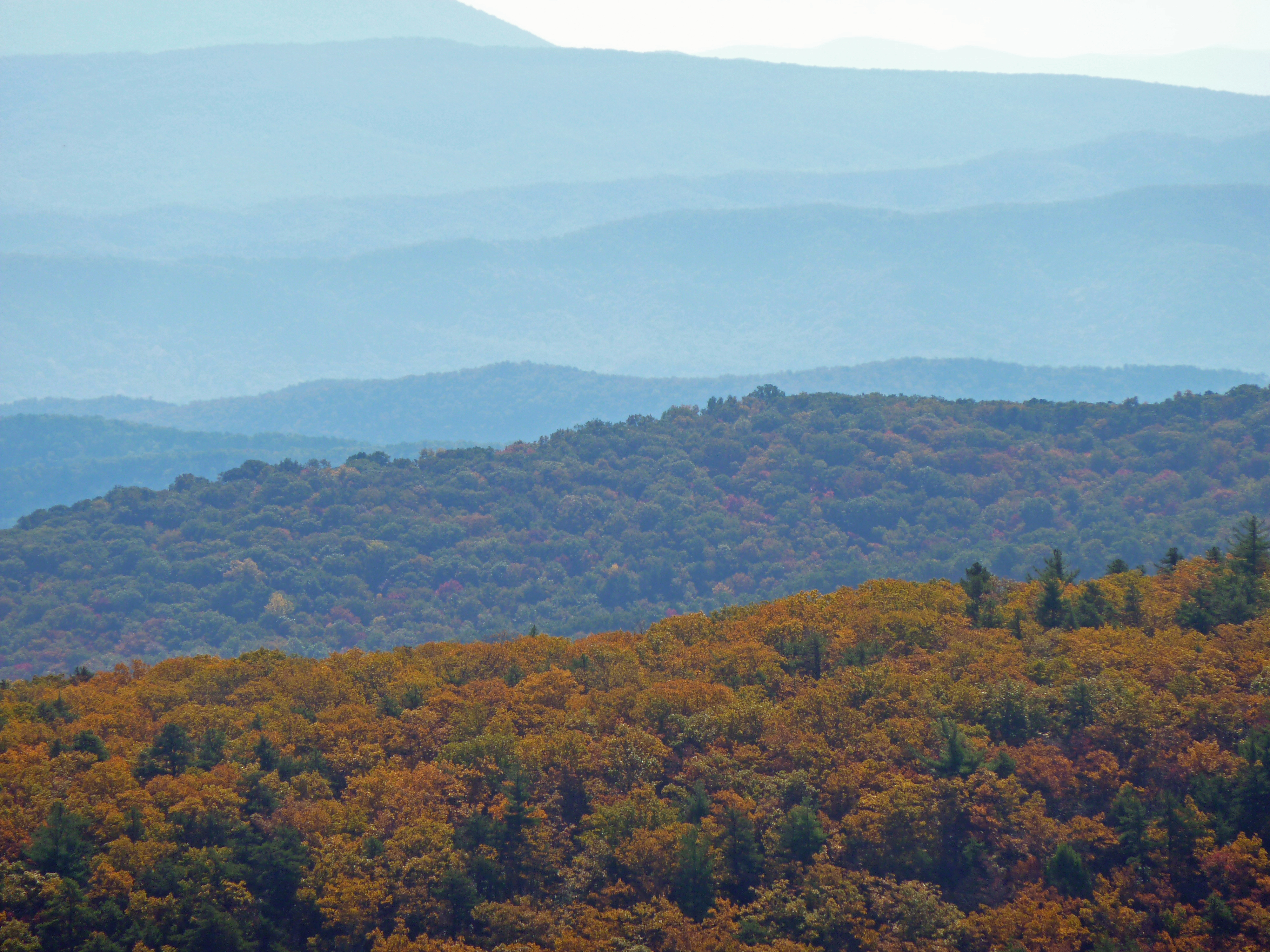
Virginia Mountains
Ingall's Overlook
Dan Ingalls Overlook
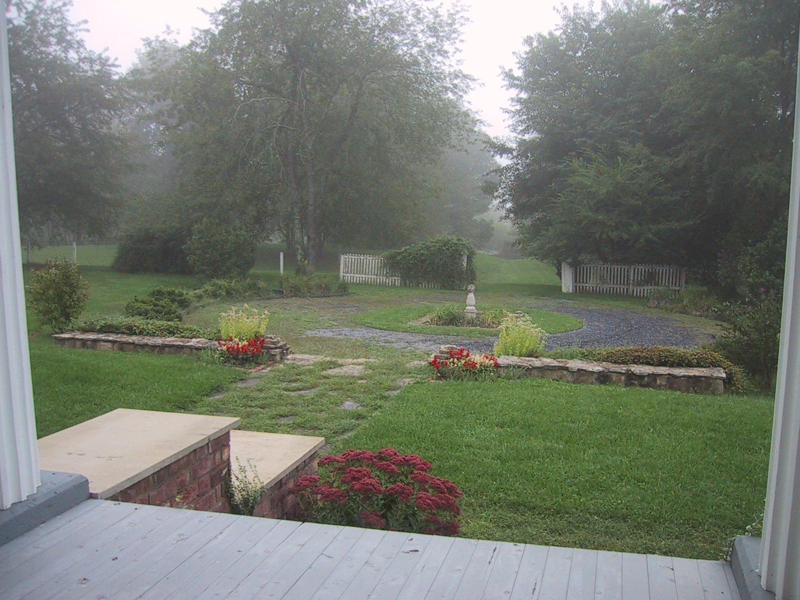
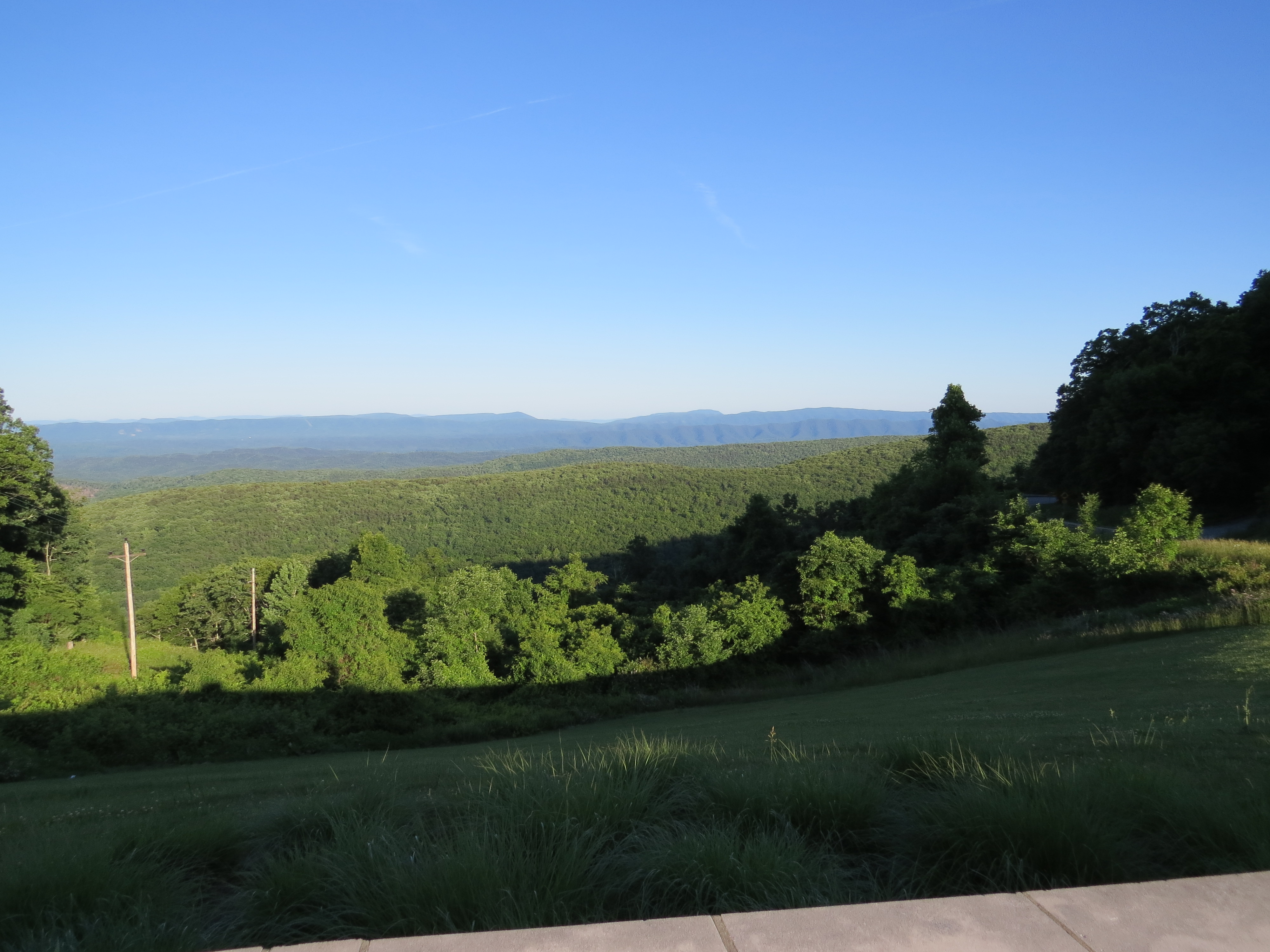
View from the Porch
Dan Ingalls Overlook
Ingall's Overlook
INGALLS OVERLOOK

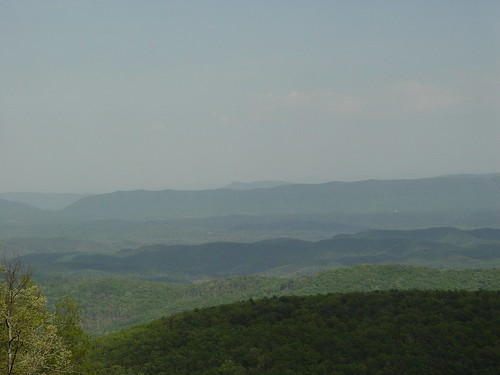
Virginia Mountains - B&W
DAN INGALLS OVERLOOK

Virginia Mountains
DSCS704807.JPG

Garden view from the fitness center.
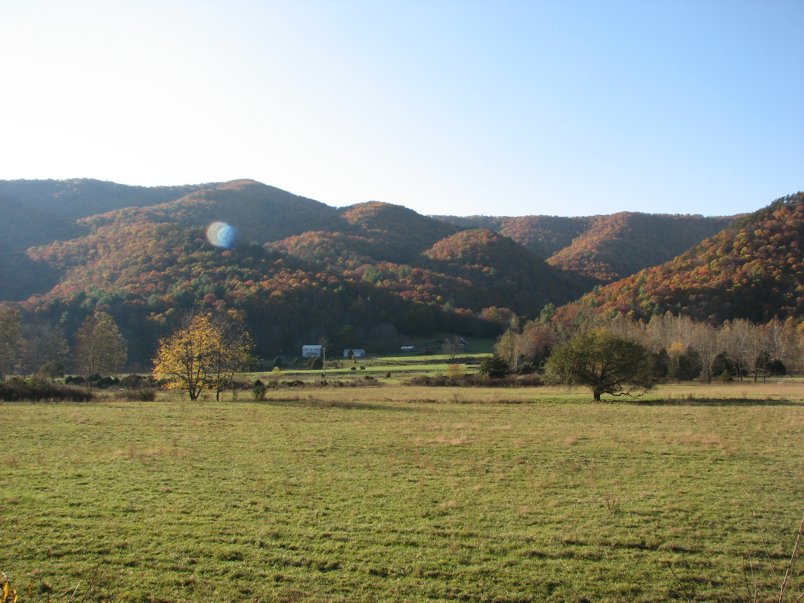
Hidden Valley
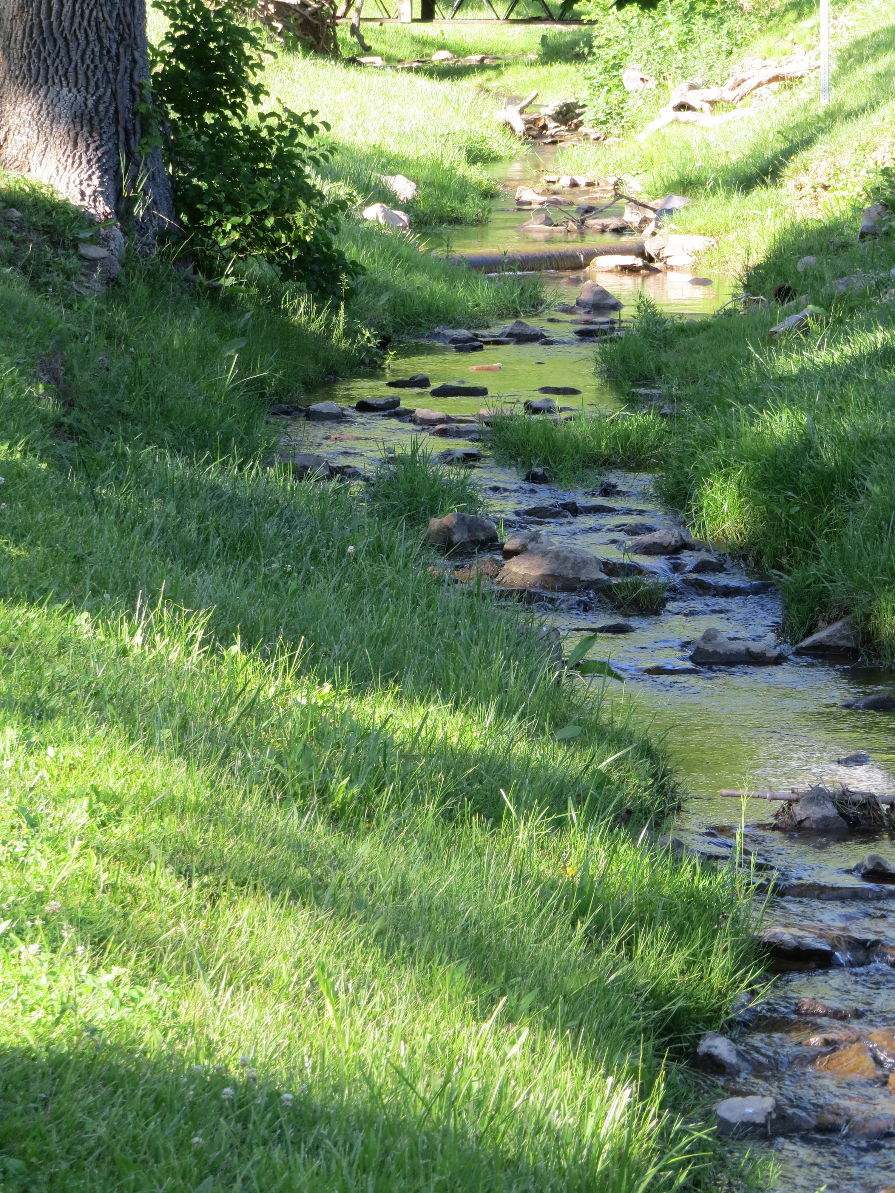
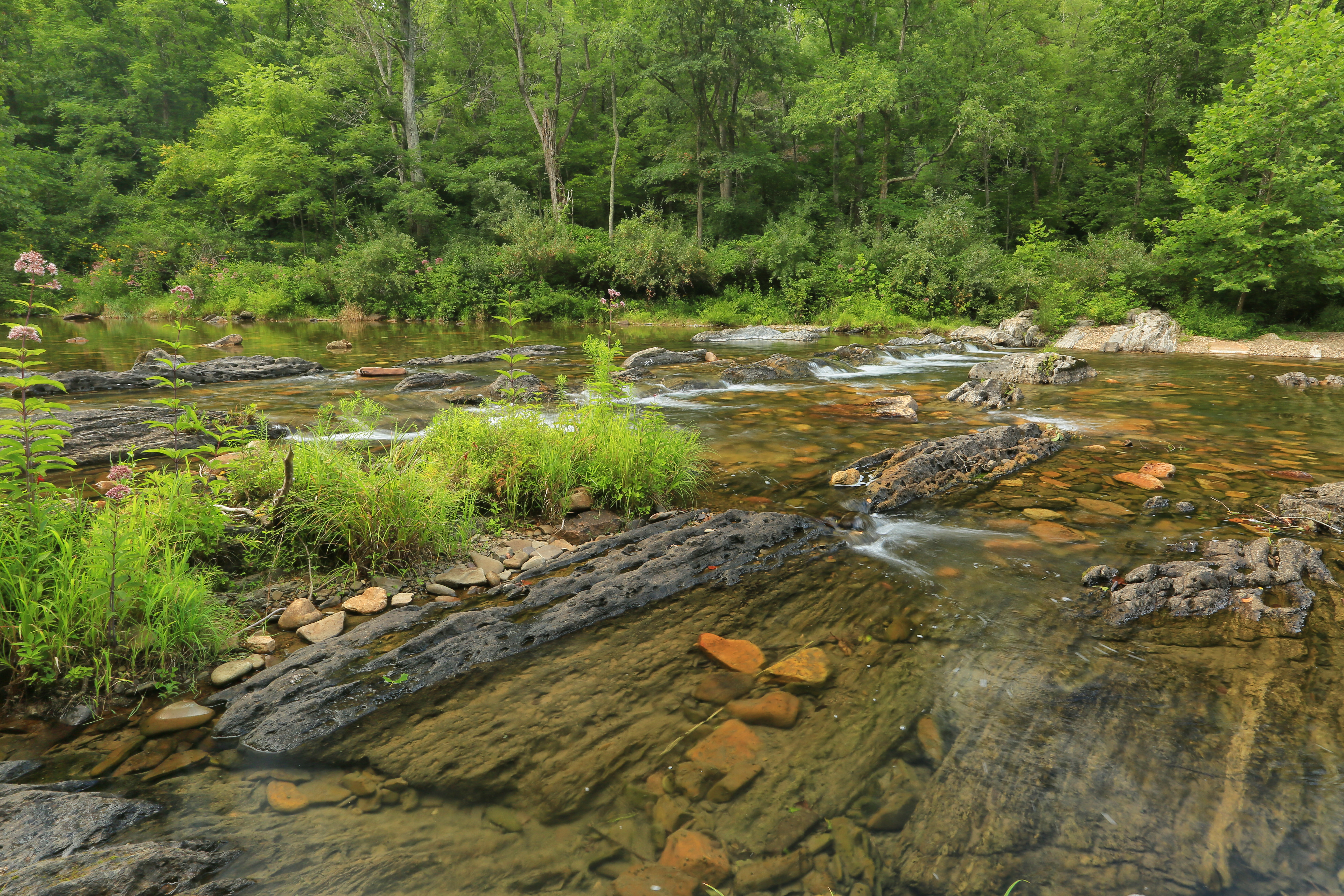
Little Back Creek, Little Mountain, George Washington National Forest, Bath County, Virginia 1
Little Back Creek, Little Mountain, George Washington National Forest, Bath County, Virginia 3
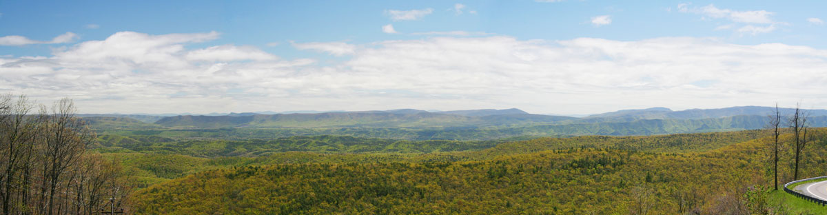
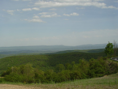
RT 39 Panorama
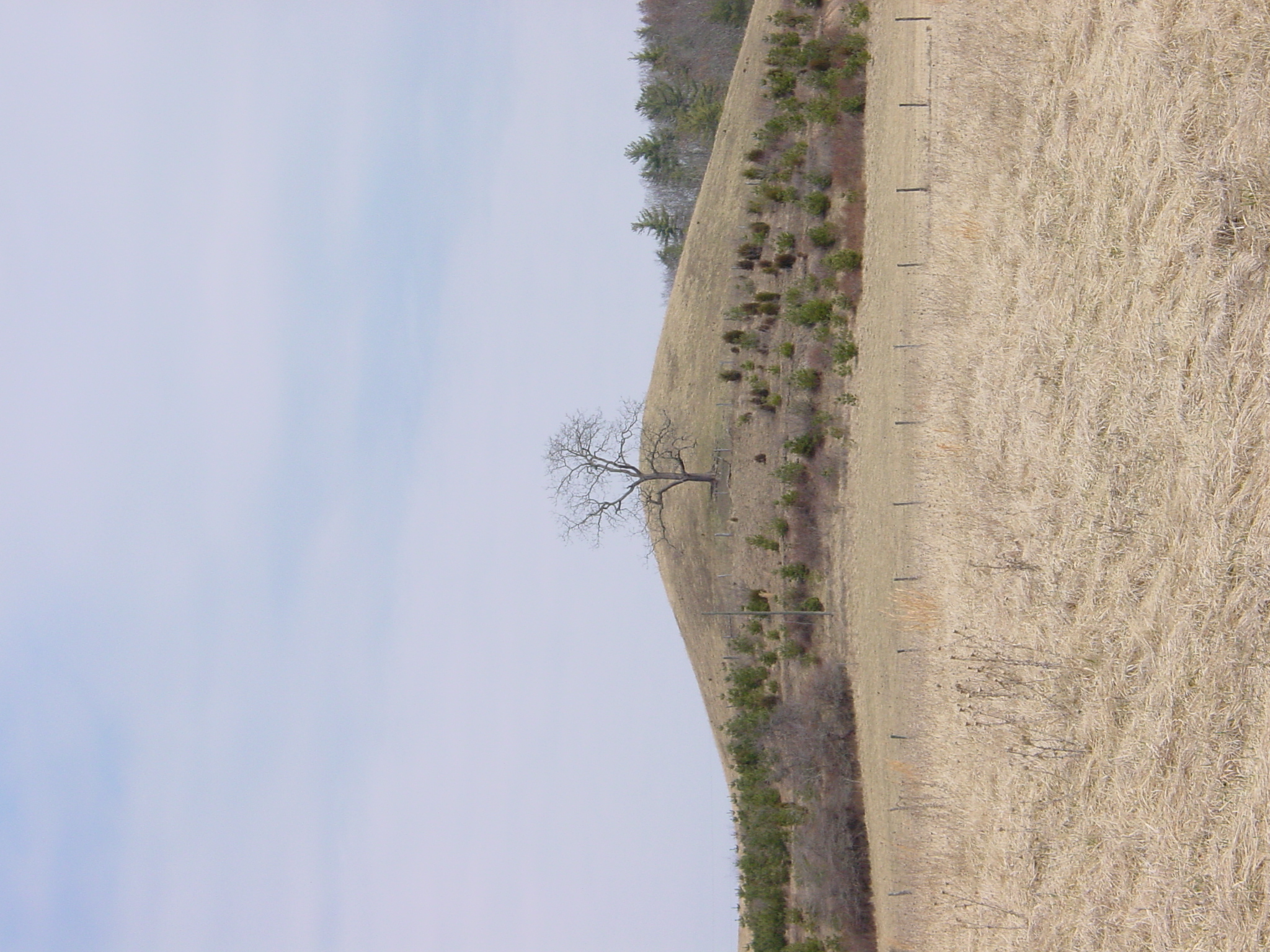
MountainGrove.jpg
U.S. Geological Survey, Stream Gage, Little Back Creek, Little Mountain, George Washington National Forest, Bath County, Virginia 2
Hwy 39 VA

Hwy 39 VA
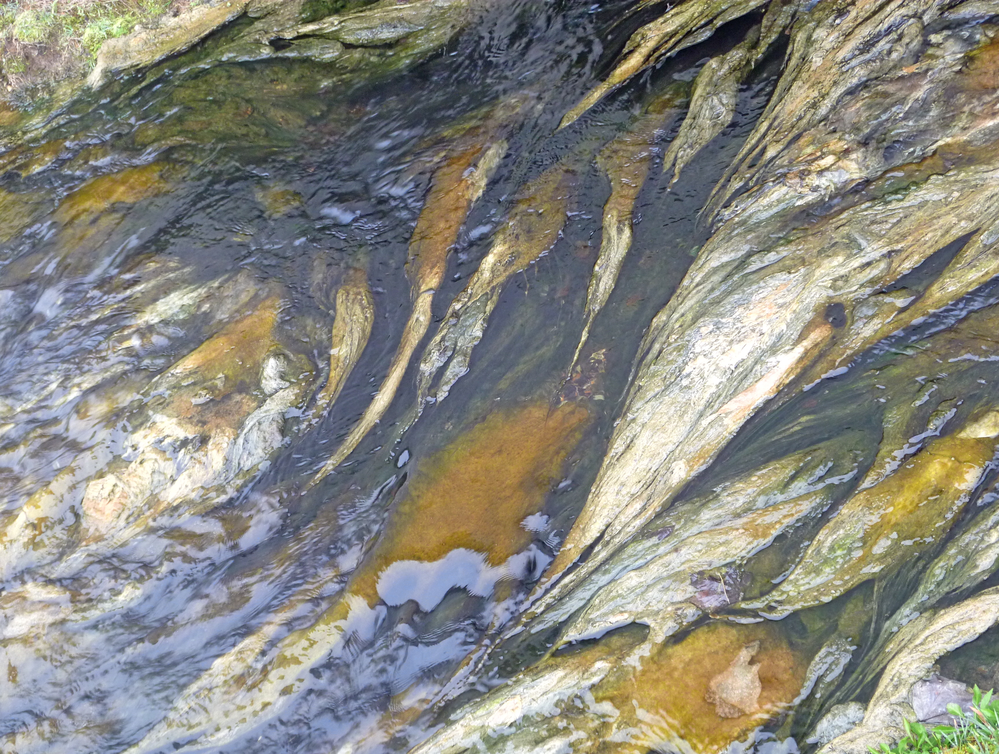
Outlet Creek from The Jefferson Pools
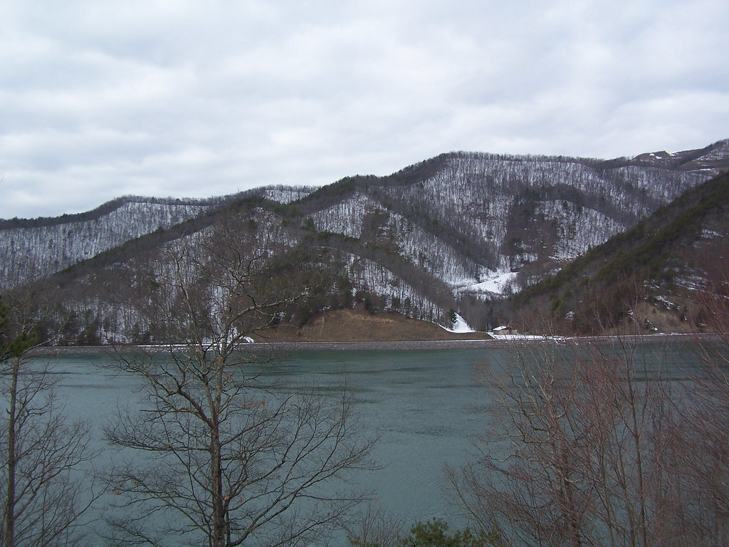
Bath County Pumped Storage Lower Reservoir
Jackson River
Outflow stream...
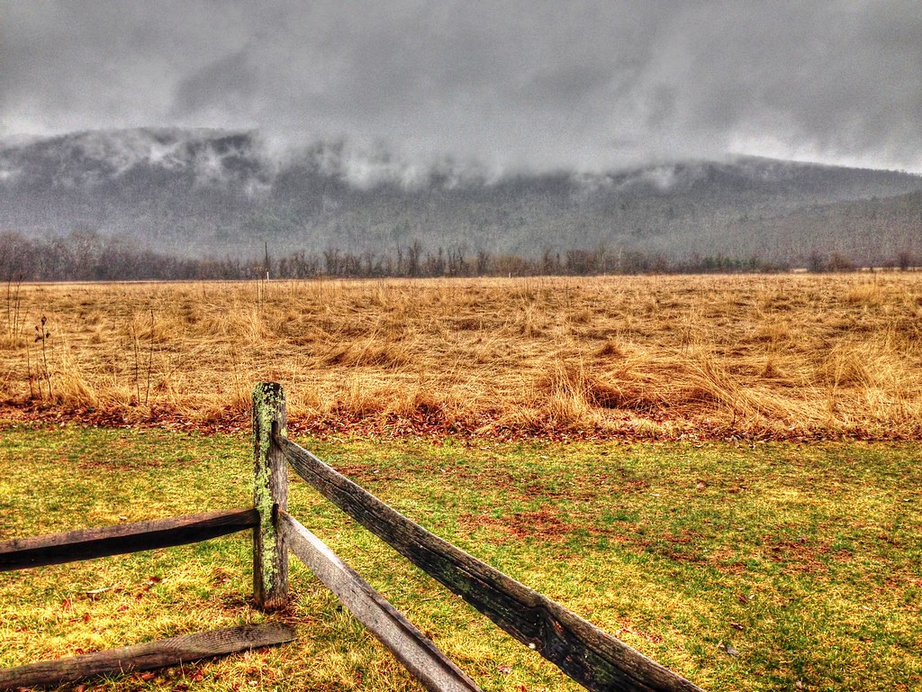
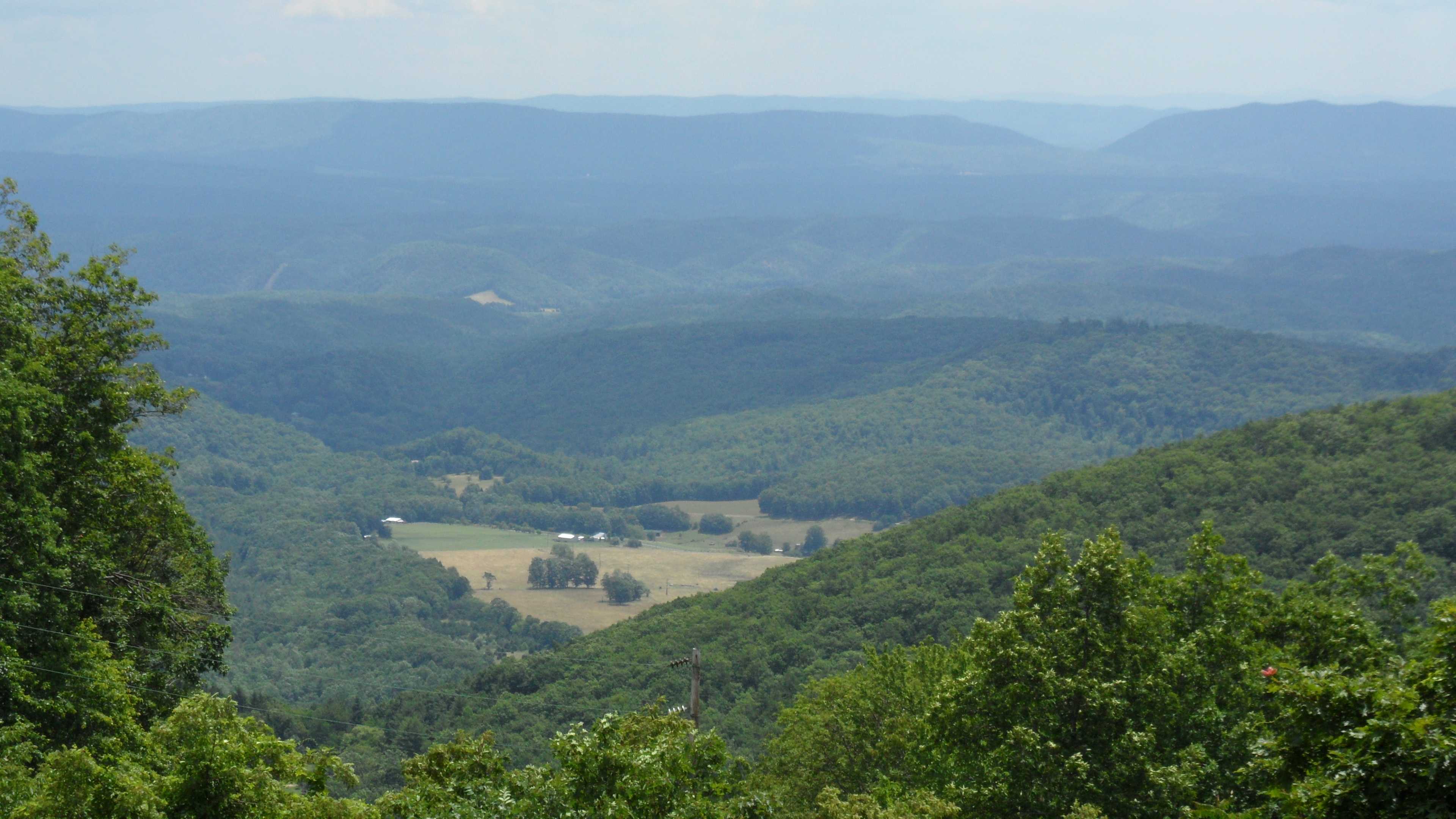
Overlook east of Warm Springs, VA
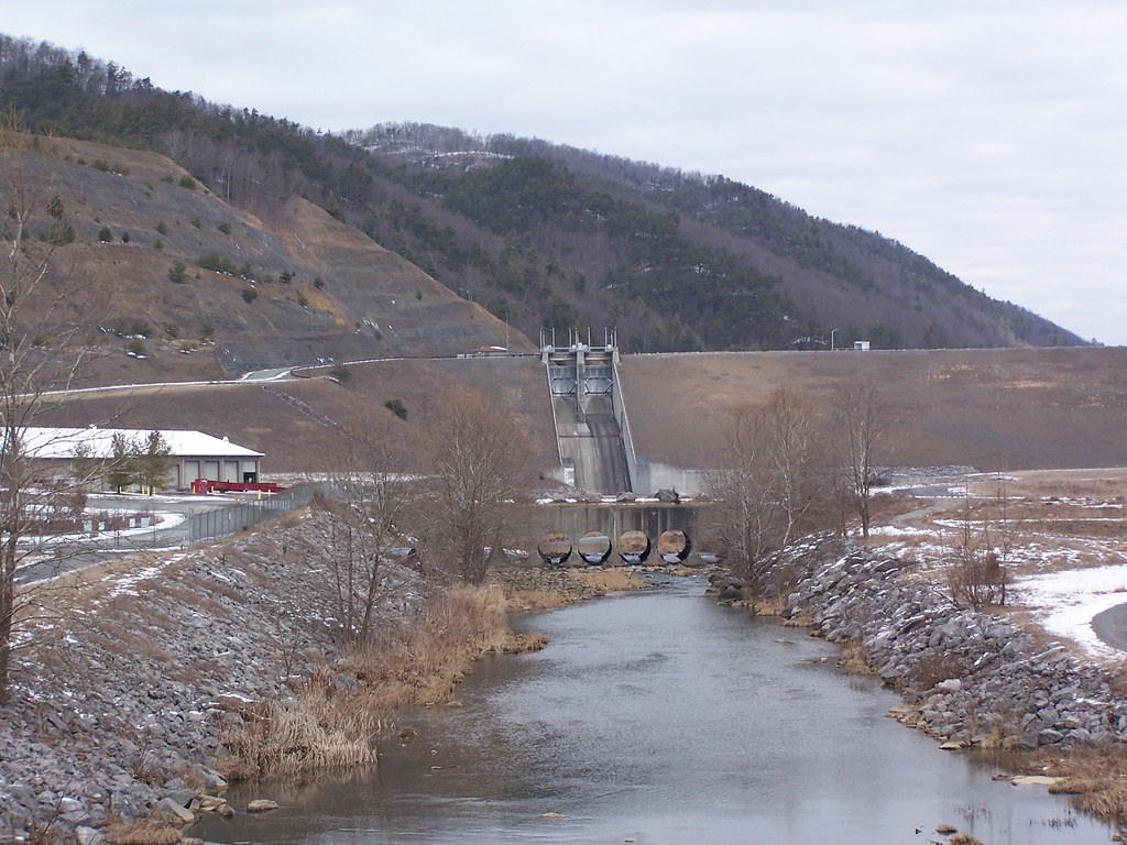
Lower Reservoir Dam
IMG_2722.JPG

Tennis Courts
Hwy 39 VA

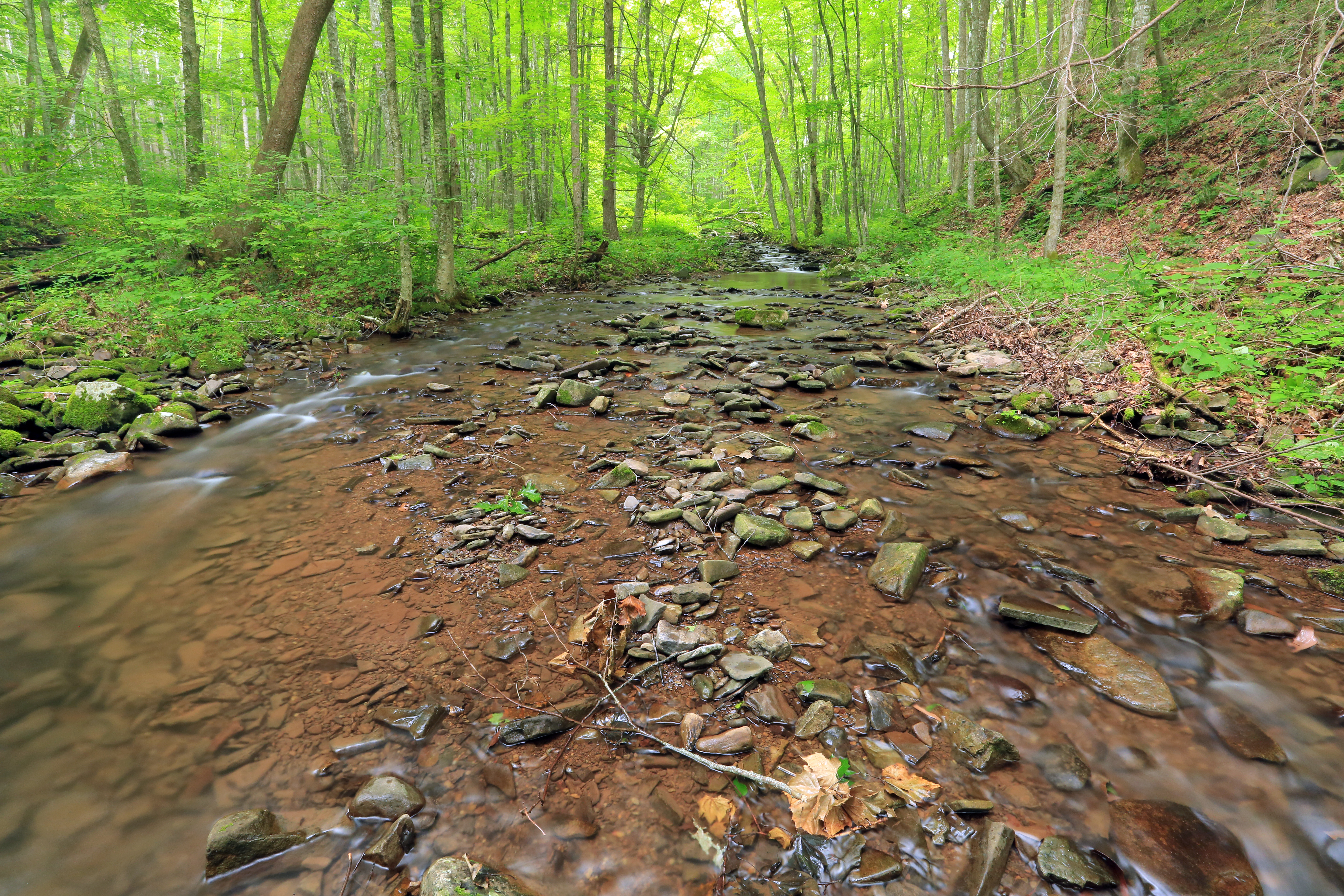
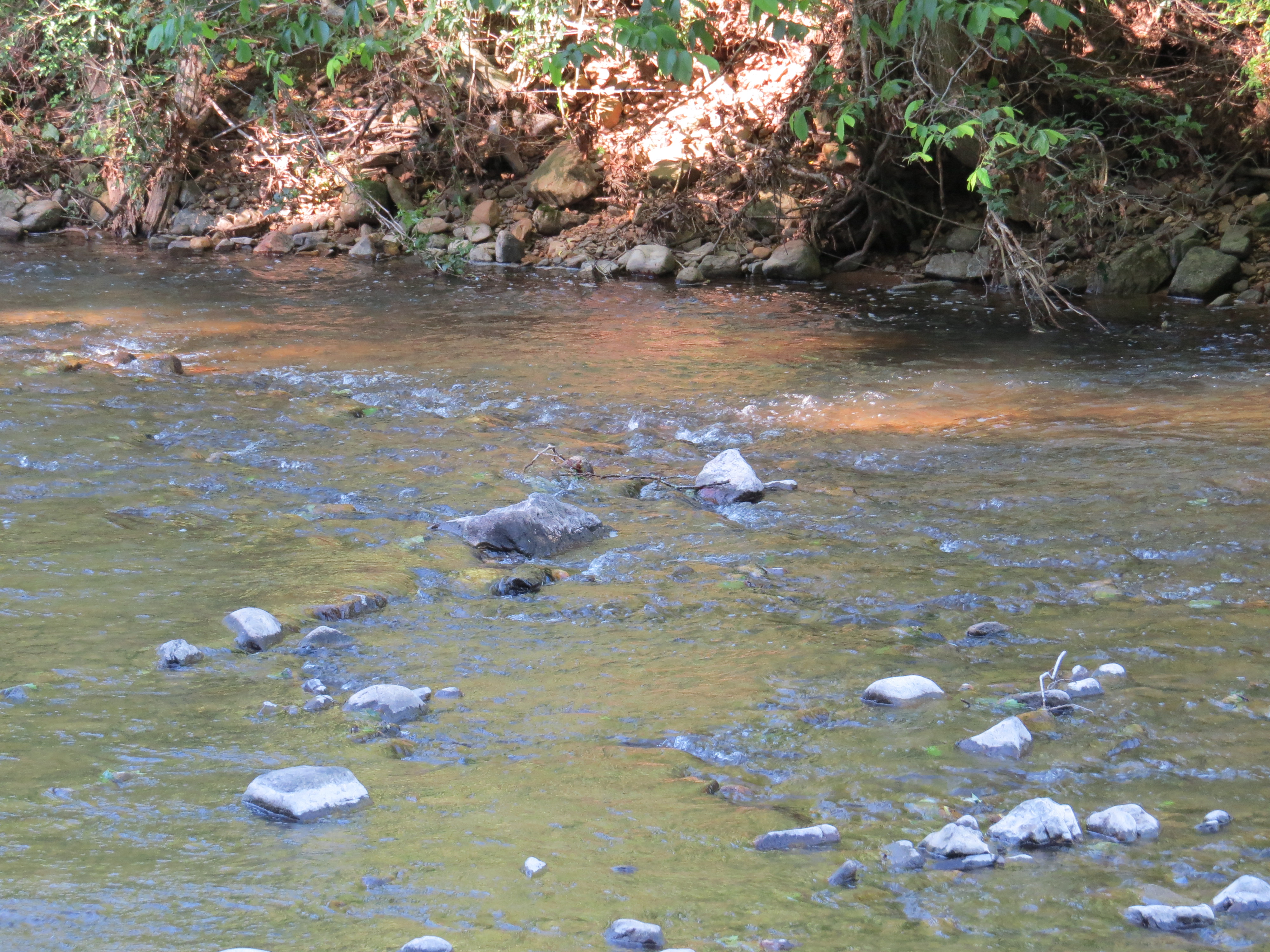
Back Creek, upstream of Blowing Springs Campground, George Washington National Forest, Bath County, Virginia 2
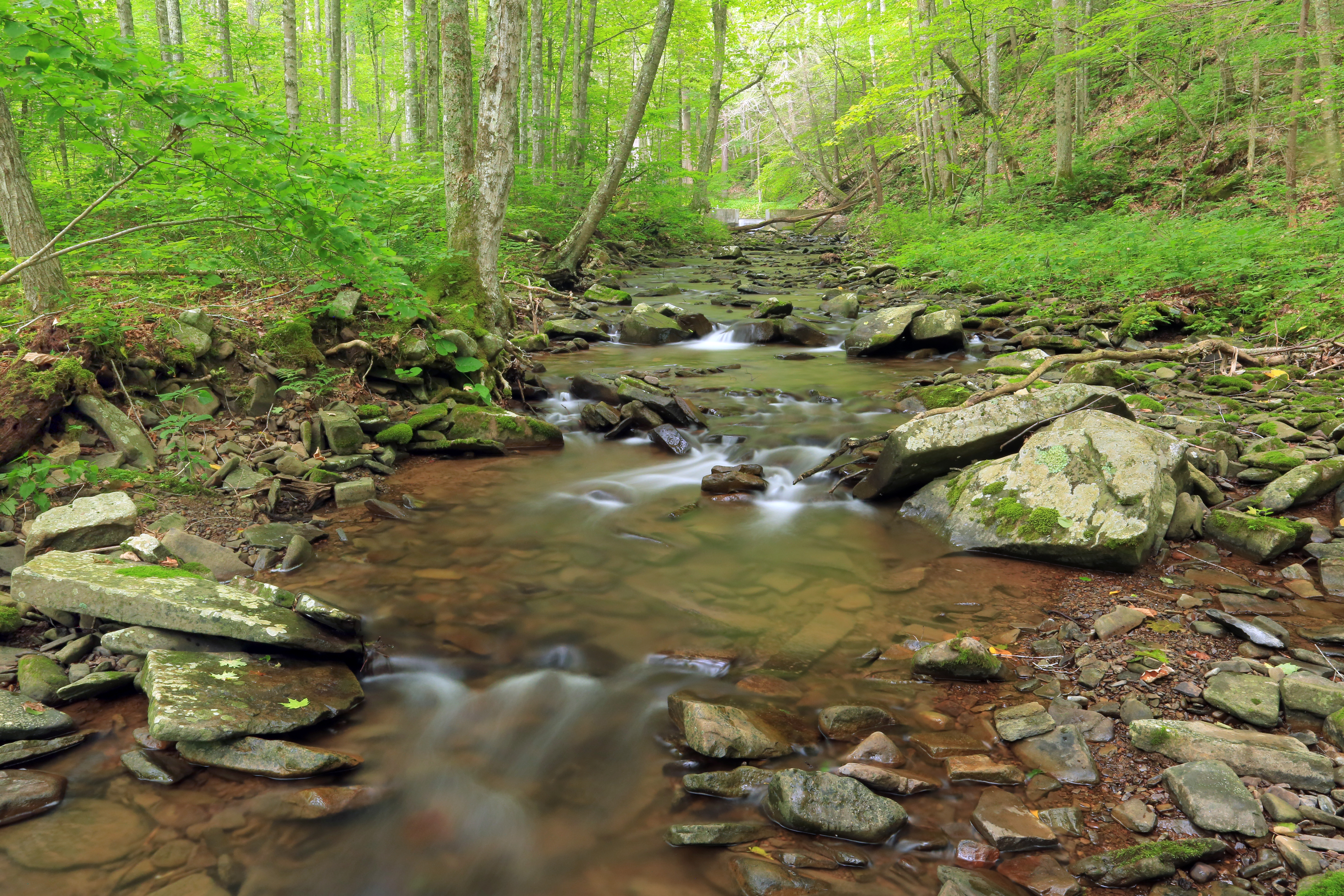
Back Creek, upstream of Blowing Springs Campground, George Washington National Forest, Bath County, Virginia 1
Topographic Map of Warm Springs, VA, USA
Find elevation by address:

Places in Warm Springs, VA, USA:
Places near Warm Springs, VA, USA:
Dinwiddie Trail
Hidden Valley Campground
25 Gatewood Dr, Warm Springs, VA, USA
Mountain Grove
Bacova
Lake Bacova
108 4 Wheel Dr
Switzerland Trail
Switzerland Trail
Switzerland Trail
6414 Jackson River Turnpike
Back Creek
Cedar Creek
Jackson River Turnpike, Hot Springs, VA, USA
619 Anthony Creek Rd
Sam Snead Hwy, Hot Springs, VA, USA
71 Kingstown Ln
64 Deepwood Ln
Hot Springs
The Omni Homestead Resort
Recent Searches:
- Elevation of Corso Fratelli Cairoli, 35, Macerata MC, Italy
- Elevation of Tallevast Rd, Sarasota, FL, USA
- Elevation of 4th St E, Sonoma, CA, USA
- Elevation of Black Hollow Rd, Pennsdale, PA, USA
- Elevation of Oakland Ave, Williamsport, PA, USA
- Elevation of Pedrógão Grande, Portugal
- Elevation of Klee Dr, Martinsburg, WV, USA
- Elevation of Via Roma, Pieranica CR, Italy
- Elevation of Tavkvetili Mountain, Georgia
- Elevation of Hartfords Bluff Cir, Mt Pleasant, SC, USA