Elevation of 25 Gatewood Dr, Warm Springs, VA, USA

Location: United States > Virginia > Bath County > Warm Springs > Warm Springs >

Longitude: -79.886539

Latitude: 38.0986782

Elevation: 539m / 1768feet

Barometric Pressure: 95KPa

Elevation Map:

elevation map of 25 Gatewood Dr, Warm Springs, VA, USA

Satellite Map:

Satellite map of 25 Gatewood Dr, Warm Springs, VA, USA

Related Photos:

sepia virginia womens stressed warmsprings odc1 jeffersonpools mensbathhouse bathdhouse
Jefferson Pools
trees mountains
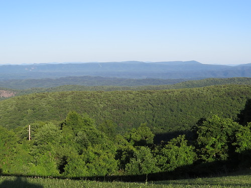
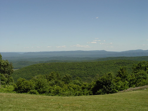
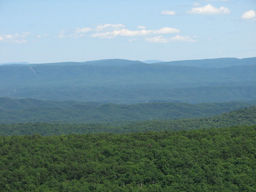
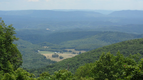
Dan Ingalls Overlook
homestead mountainresort luxuryhotel virginiahotel hotspringsva luxuryresort weddingreceptions famoushotels thehomesteadresort varesort hotspringsresort luxuryspa historicresort hotspringsvirginia vahotel classicwedding luxuryweddings virginiaresort virginialuxuryresort virginialuxuryhotel famousresorts famousspa weddingspaces weddingreceptionspaces virginiaspa homesteadresortvirginia thehomesteadresortvirginia luxuryvirginiahotel luxuryvirginiaresort historicvirginiaresort historicluxuryresort virginiaaccomodations
Weddings at The Homestead Resort
usa virginia nikon nikkor hotsprings lightroom d300 thehomestead frednet 2470mmf28g
The Homestead Lobby
usa virginia nikon nikkor hotsprings lightroom d300 thehomestead frednet 2470mmf28g
Tennis Courts
trees mountains
Dan Ingalls Overlook
usa virginia nikon nikkor hotsprings lightroom d300 thehomestead frednet 2470mmf28g
View from the Presidents Lounge
usa virginia nikon nikkor hotsprings lightroom d300 thehomestead frednet 2470mmf28g
Bedroom View
View from the Old Course
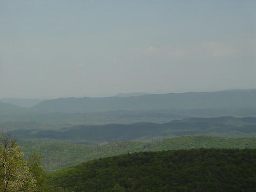
bathcounty scenicoverlook mountainviews daningallsoverlook
Ingall's Overlook
bathcounty scenicoverlook mountainviews daningallsoverlook
Ingall's Overlook
bathcounty scenicoverlook mountainviews daningallsoverlook
Ingall's Overlook
vacation virginia homestead
Homestead; view from screen porch, July 2007
usa virginia nikon nikkor hotsprings lightroom d300 thehomestead frednet 2470mmf28g
Virginia Mountains
View from the 17th hole, Old Course @ The Homestead
flowers virginia
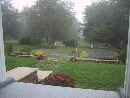
View from the Porch
trees mountains
Dan Ingalls Overlook
bathcounty scenicoverlook mountainviews daningallsoverlook
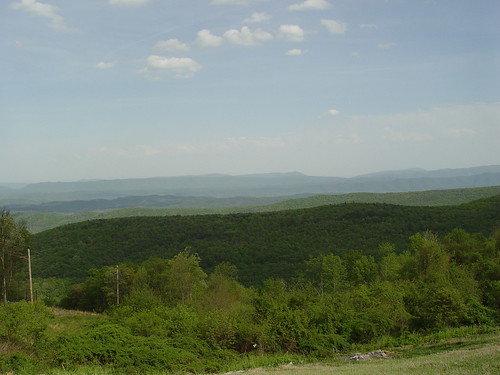
Ingall's Overlook
mountains bath scenic blueridge daningalls
INGALLS OVERLOOK
bath scenic route39 daningalls
DAN INGALLS OVERLOOK
usa virginia nikon nikkor hotsprings lightroom d300 thehomestead frednet 2470mmf28g
Virginia Mountains
RT 39 Panorama
geotagged geo:lat=3805114064 geo:lon=7976610642
Hwy 39 VA
geotagged geo:lat=3805114079 geo:lon=7976610605
Hwy 39 VA
geotagged geo:lat=3805114077 geo:lon=7976610611
Hwy 39 VA
usa nature landscape virginia warmsspringsvirginia
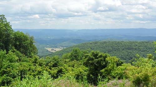
Overlook east of Warm Springs, VA
virginia fishing nationalforest explore trout hdr jacksonriver explored
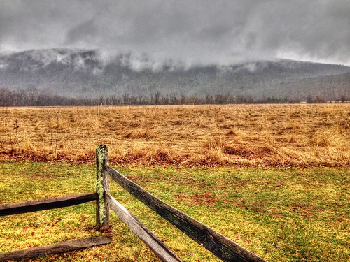
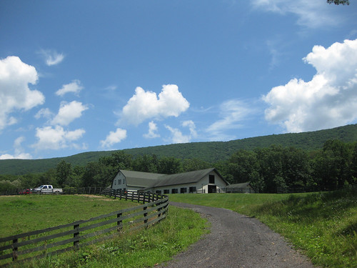
Hidden Valley
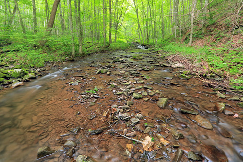
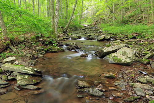
Back Creek, upstream of Blowing Springs Campground, George Washington National Forest, Bath County, Virginia 2
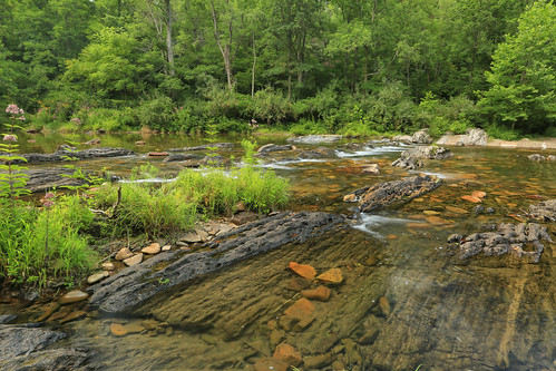
Back Creek, upstream of Blowing Springs Campground, George Washington National Forest, Bath County, Virginia 1
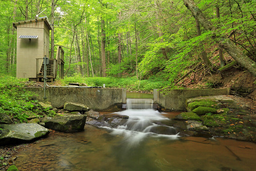
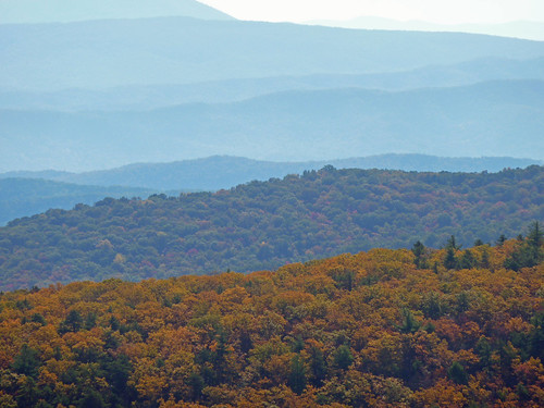
Rolling Fall
autumn mountain geotagged virginia valley geo:lat=3810103 geo:lon=798879
MountainGrove.jpg
Little Back Creek, Little Mountain, George Washington National Forest, Bath County, Virginia 1
usa virginia nikon nikkor hotsprings lightroom d300 thehomestead frednet 2470mmf28g
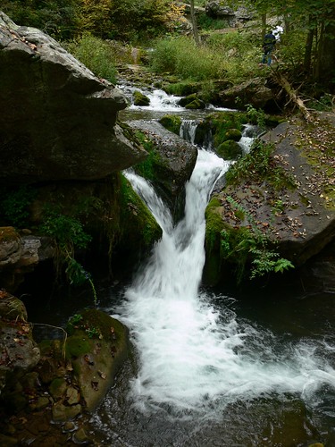
Gorge Hike - Waterfall
Little Back Creek, Little Mountain, George Washington National Forest, Bath County, Virginia 3
forest river waterfall
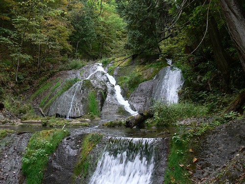
Waterfalls - 5
U.S. Geological Survey, Stream Gage, Little Back Creek, Little Mountain, George Washington National Forest, Bath County, Virginia 2
forest river waterfall
Waterfalls - 4
homestead
The Homestead Resort
usa virginia nikon nikkor hotsprings lightroom d300 thehomestead frednet 2470mmf28g
Gorge Hike - Waterfall
usa virginia nikon nikkor hotsprings lightroom d300 thehomestead frednet 2470mmf28g
Gorge Hike - Waterfall
usa virginia nikon nikkor hotsprings lightroom d300 thehomestead frednet 2470mmf28g
Gorge Hike - Waterfall