Elevation of Anthony Creek Rd, Marlinton, WV, USA
Location: United States > West Virginia > Pocahontas County > Edray > Marlinton >
Longitude: -79.954055
Latitude: 38.1187006
Elevation: 762m / 2500feet
Barometric Pressure: 92KPa
Elevation Map:
Satellite Map:
Related Photos:

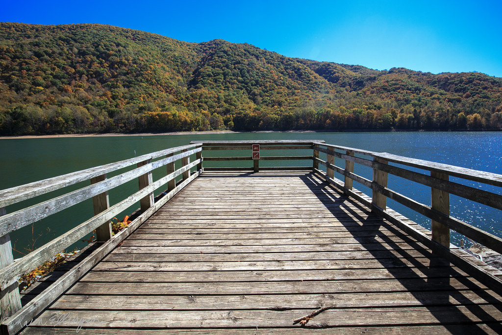
Fall In Full Swing

Barn, Beyond Revival

#70s_swag

View from the Porch

DSCS704807.JPG
Lake Moomaw (near Covington, VA)

Hidden Valley

Back Creek, upstream of Blowing Springs Campground, George Washington National Forest, Bath County, Virginia 2

U.S. Geological Survey, Stream Gage, Little Back Creek, Little Mountain, George Washington National Forest, Bath County, Virginia 2

Little Back Creek, Little Mountain, George Washington National Forest, Bath County, Virginia 3

Little Back Creek, Little Mountain, George Washington National Forest, Bath County, Virginia 1

Hello DC!

DSC04556.JPG

IMG_2714.JPG

IMG_2720.JPG

MountainGrove.jpg
Sunset over the Greenbrier river

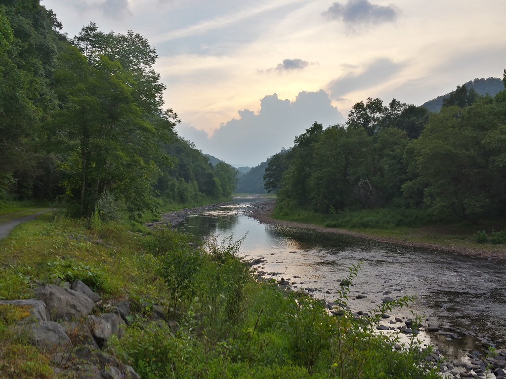
Greenbrier River

Dried up creek

Lower Reservoir Dam

Lake Sherwood
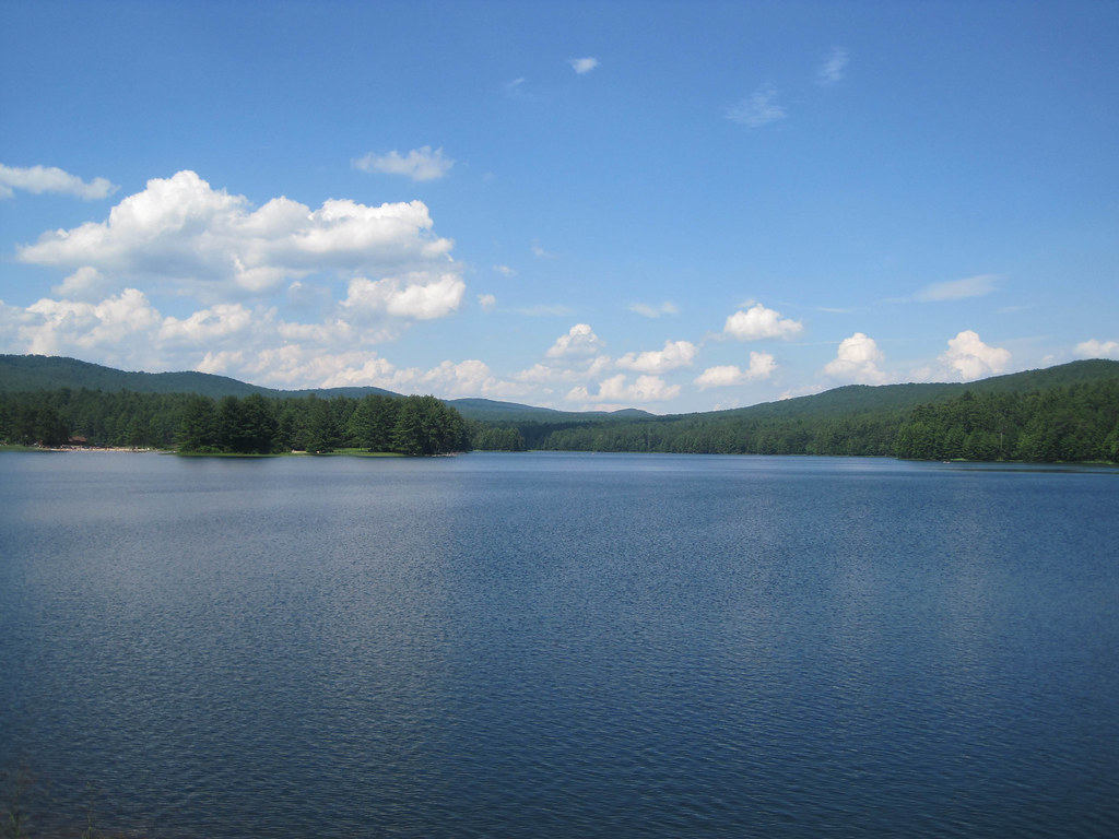
Lake Sherwood

Lake Moomaw

A Hike In the Woods

Watoga State Park

Lake Sherwood
Topographic Map of Anthony Creek Rd, Marlinton, WV, USA
Find elevation by address:

Places near Anthony Creek Rd, Marlinton, WV, USA:
108 4 Wheel Dr
Mountain Grove
25 Gatewood Dr, Warm Springs, VA, USA
Warm Springs
Back Creek
Switzerland Trail
Switzerland Trail
Switzerland Trail
Dinwiddie Trail
Bacova
Lake Bacova
Violet Road
6414 Jackson River Turnpike
Hidden Valley Campground
Jackson River Turnpike, Hot Springs, VA, USA
Cedar Creek
Hot Springs
The Omni Homestead Resort
Watoga State Park
106 Park Dr
Recent Searches:
- Elevation of Corso Fratelli Cairoli, 35, Macerata MC, Italy
- Elevation of Tallevast Rd, Sarasota, FL, USA
- Elevation of 4th St E, Sonoma, CA, USA
- Elevation of Black Hollow Rd, Pennsdale, PA, USA
- Elevation of Oakland Ave, Williamsport, PA, USA
- Elevation of Pedrógão Grande, Portugal
- Elevation of Klee Dr, Martinsburg, WV, USA
- Elevation of Via Roma, Pieranica CR, Italy
- Elevation of Tavkvetili Mountain, Georgia
- Elevation of Hartfords Bluff Cir, Mt Pleasant, SC, USA