Elevation of Hotel Diamond, Main St, Diamond, OR, USA
Location: United States > Oregon > Harney County > Diamond >
Longitude: -118.66610
Latitude: 43.0128689
Elevation: 1285m / 4216feet
Barometric Pressure: 87KPa
Elevation Map:
Satellite Map:
Related Photos:

Long view

View from the Peter French Round Barn

Diamond Craters
Malheur Maar, Diamond Craters Oregon

McCoy Creek Valley

Diamond cloudscape

Diamond sunset

Cycle Oregon 2013 - Diamond Camp Panorama

Steens Mountain from Lava Point Crater

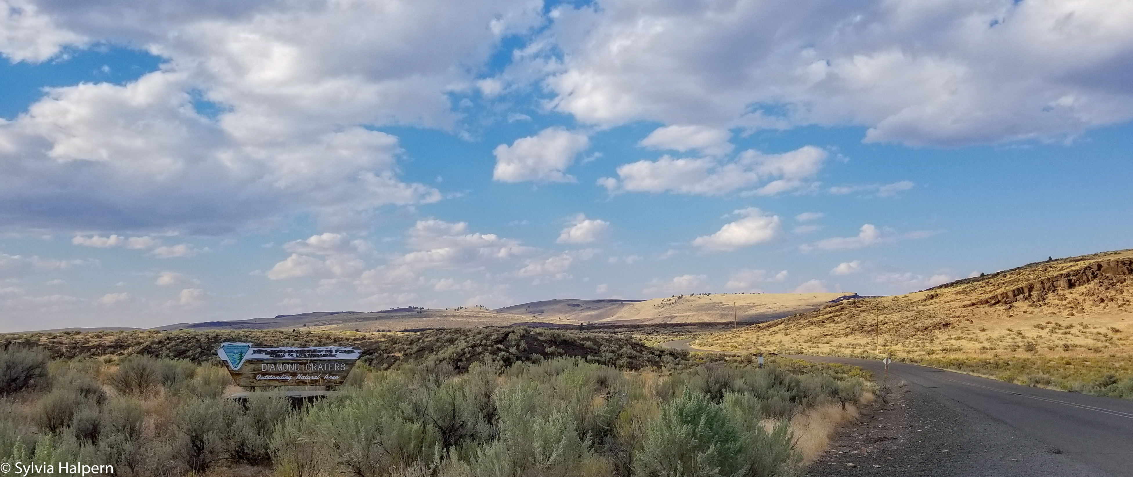
Diamond Craters Outstanding Natural Area

Diamond Craters Outstanding Natural Area

Malheur National Wildlife Refuge, Oregon Route 205 Near Frenchglen, Oregon

Ruin at Diamond Oregon

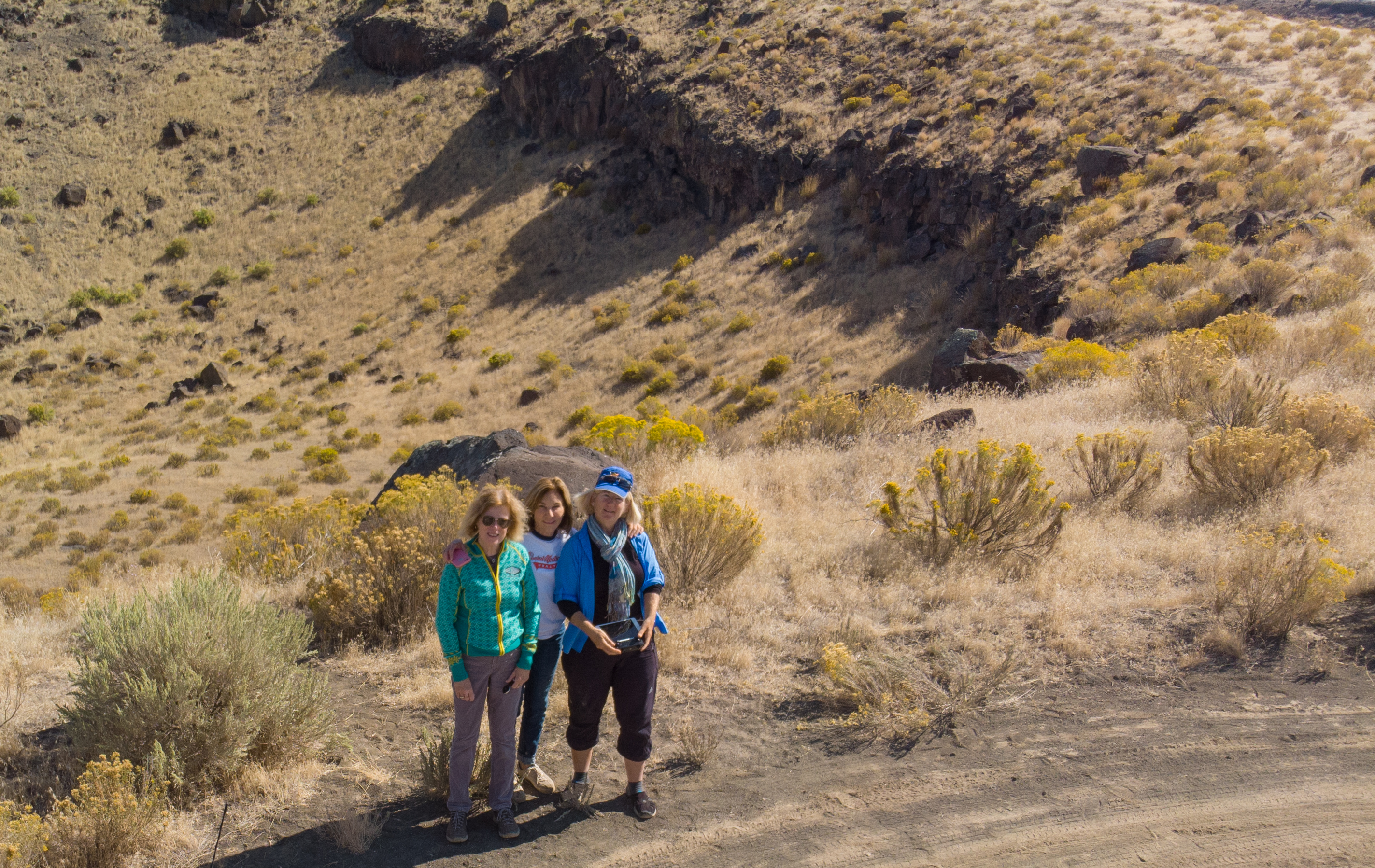
IMG_7013-15

Krumbo Reservoir

Krumbo Reservoir
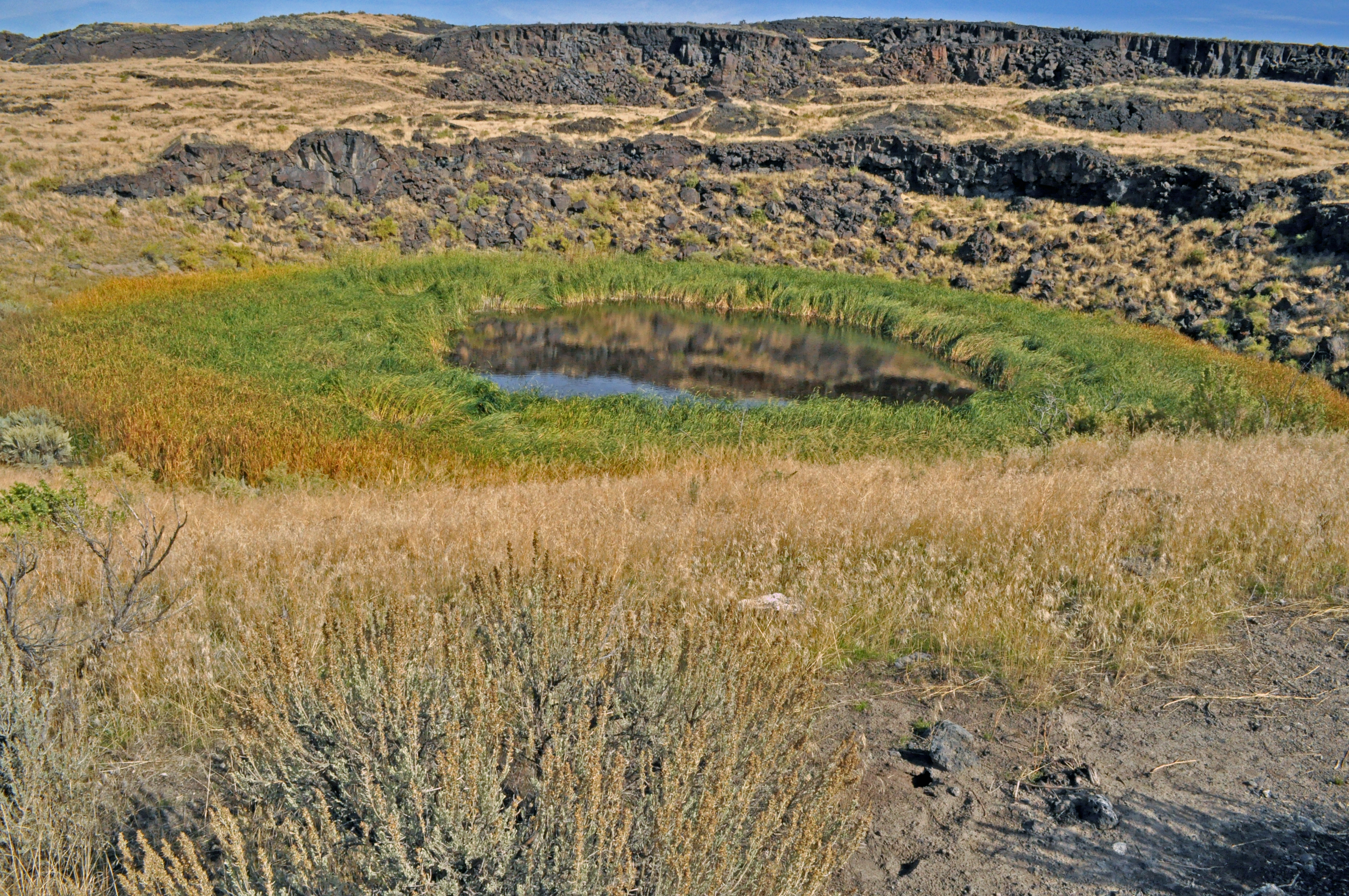
dronecraters-9

IMG_0176.jpg
diamondsamsung-20

Steens Mountain from the Diamond Craters Outstanding Natural Area

IMG_0182.jpg

Keyhole Explosion Crater
Topographic Map of Hotel Diamond, Main St, Diamond, OR, USA
Find elevation by address:

Places near Hotel Diamond, Main St, Diamond, OR, USA:
Diamond
Frenchglen
Malheur Lake
Harney County
Crystal Crane Hot Springs
Quincy Road
South Harney Road
Harney County Fair Office
Hines
US-, Hines, OR, USA
24 E Monroe St, Burns, OR, USA
Burns
Burns, Or
Fields
Fields-Denio Rd, Fields, OR, USA
Riley
Recent Searches:
- Elevation of Corso Fratelli Cairoli, 35, Macerata MC, Italy
- Elevation of Tallevast Rd, Sarasota, FL, USA
- Elevation of 4th St E, Sonoma, CA, USA
- Elevation of Black Hollow Rd, Pennsdale, PA, USA
- Elevation of Oakland Ave, Williamsport, PA, USA
- Elevation of Pedrógão Grande, Portugal
- Elevation of Klee Dr, Martinsburg, WV, USA
- Elevation of Via Roma, Pieranica CR, Italy
- Elevation of Tavkvetili Mountain, Georgia
- Elevation of Hartfords Bluff Cir, Mt Pleasant, SC, USA