Elevation of Fields, OR, USA
Location: United States > Oregon > Harney County >
Longitude: -118.67506
Latitude: 42.2641698
Elevation: 1291m / 4236feet
Barometric Pressure: 87KPa
Elevation Map:
Satellite Map:
Related Photos:

Waiting for wind
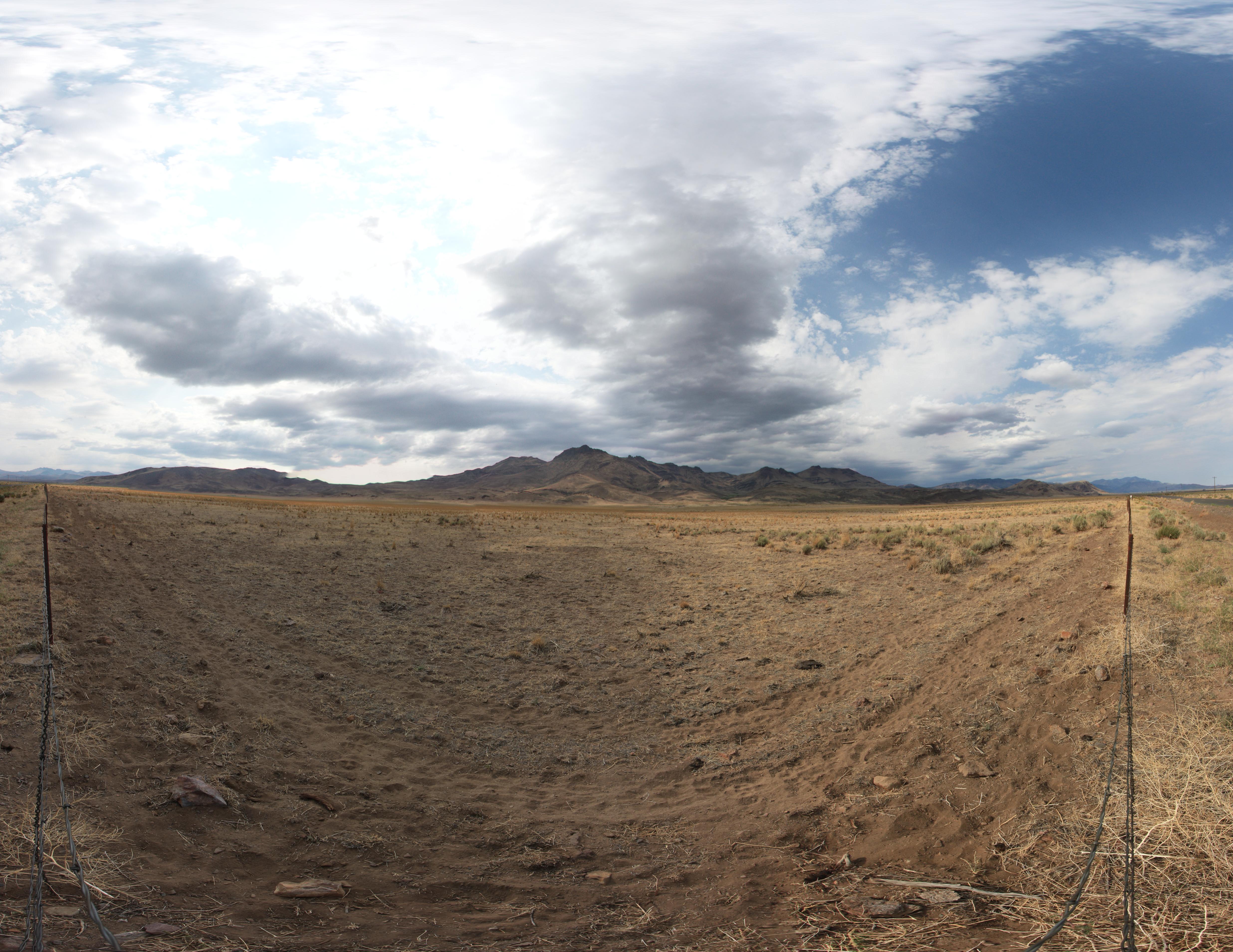
05212013 747 the long view from Fields Station

Great-tailed Grackle pair

Great-tailed Grackle. Fields, Oregon.

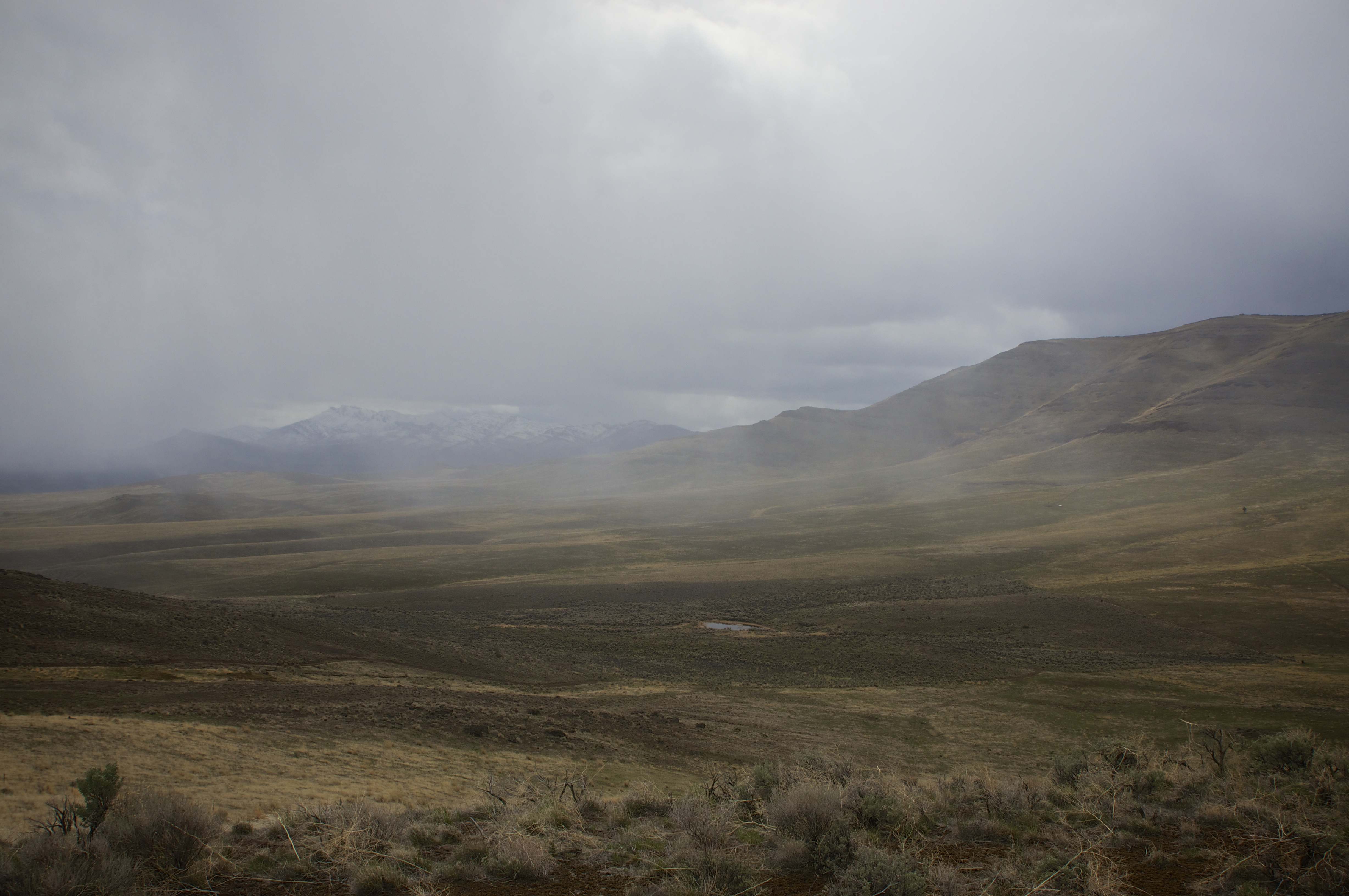
Steens Mountains
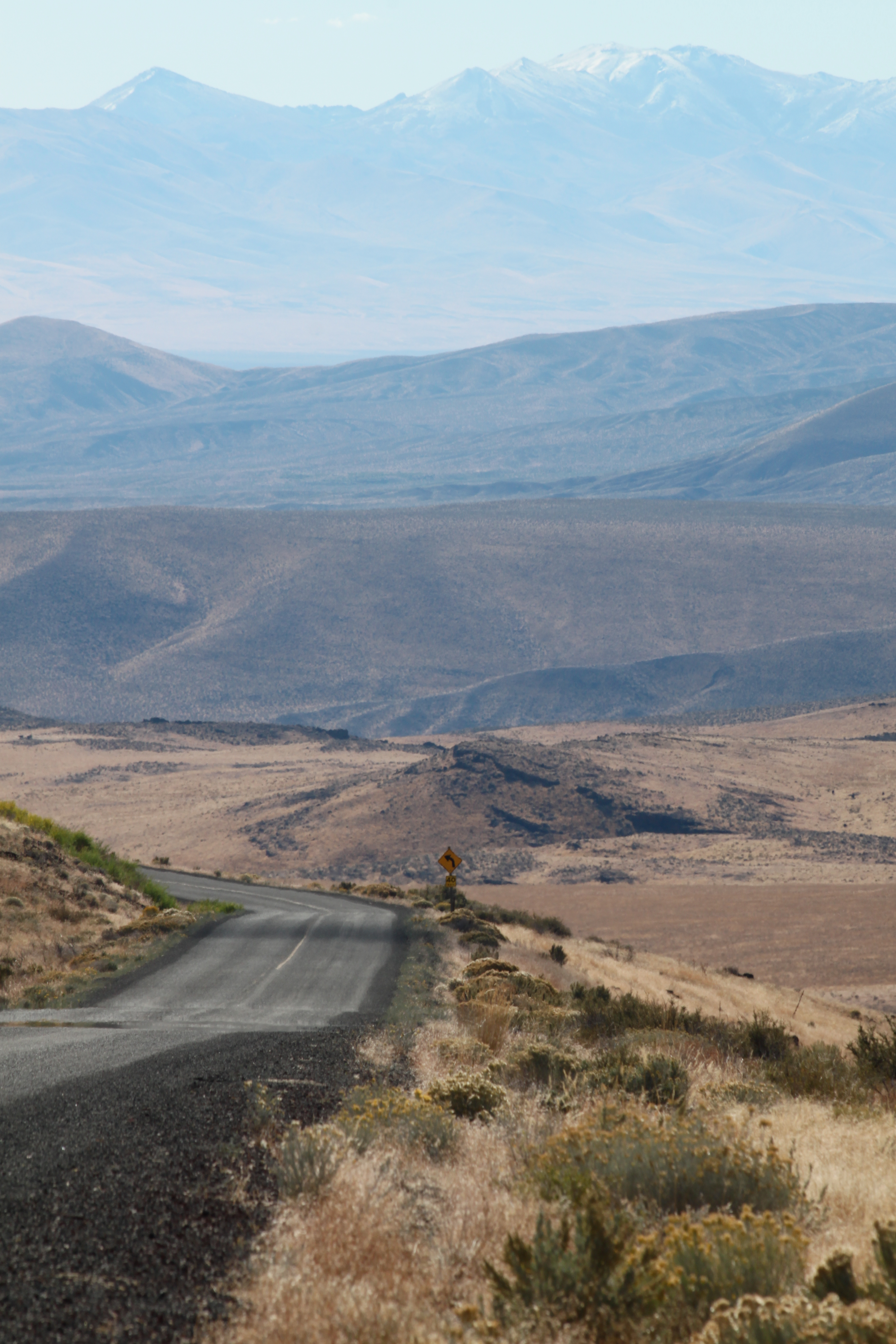
SE Oregon March 2014
Steens Mtn panorama

Steens Mountain

Steens Mtn panorama
20111008-020
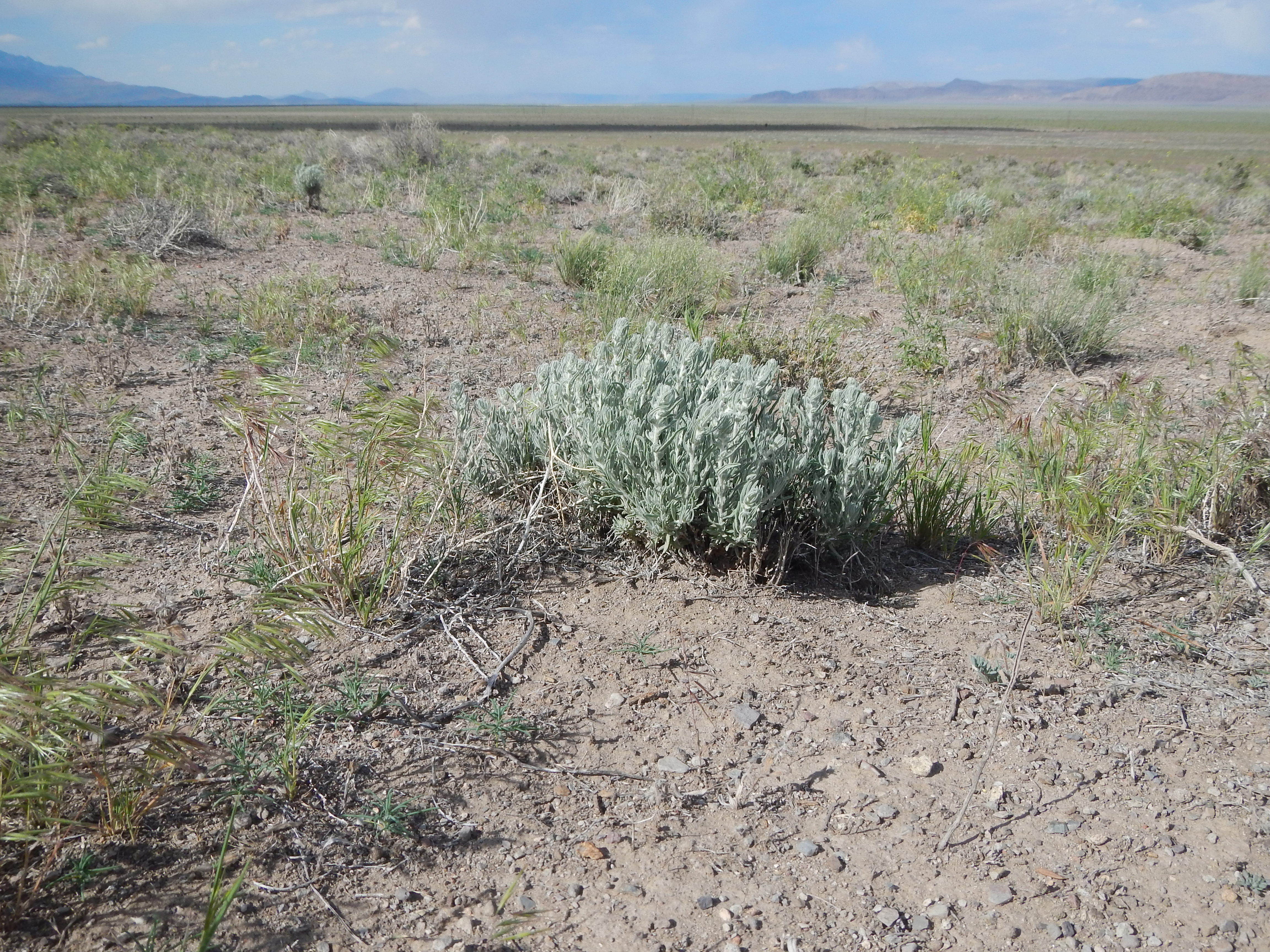
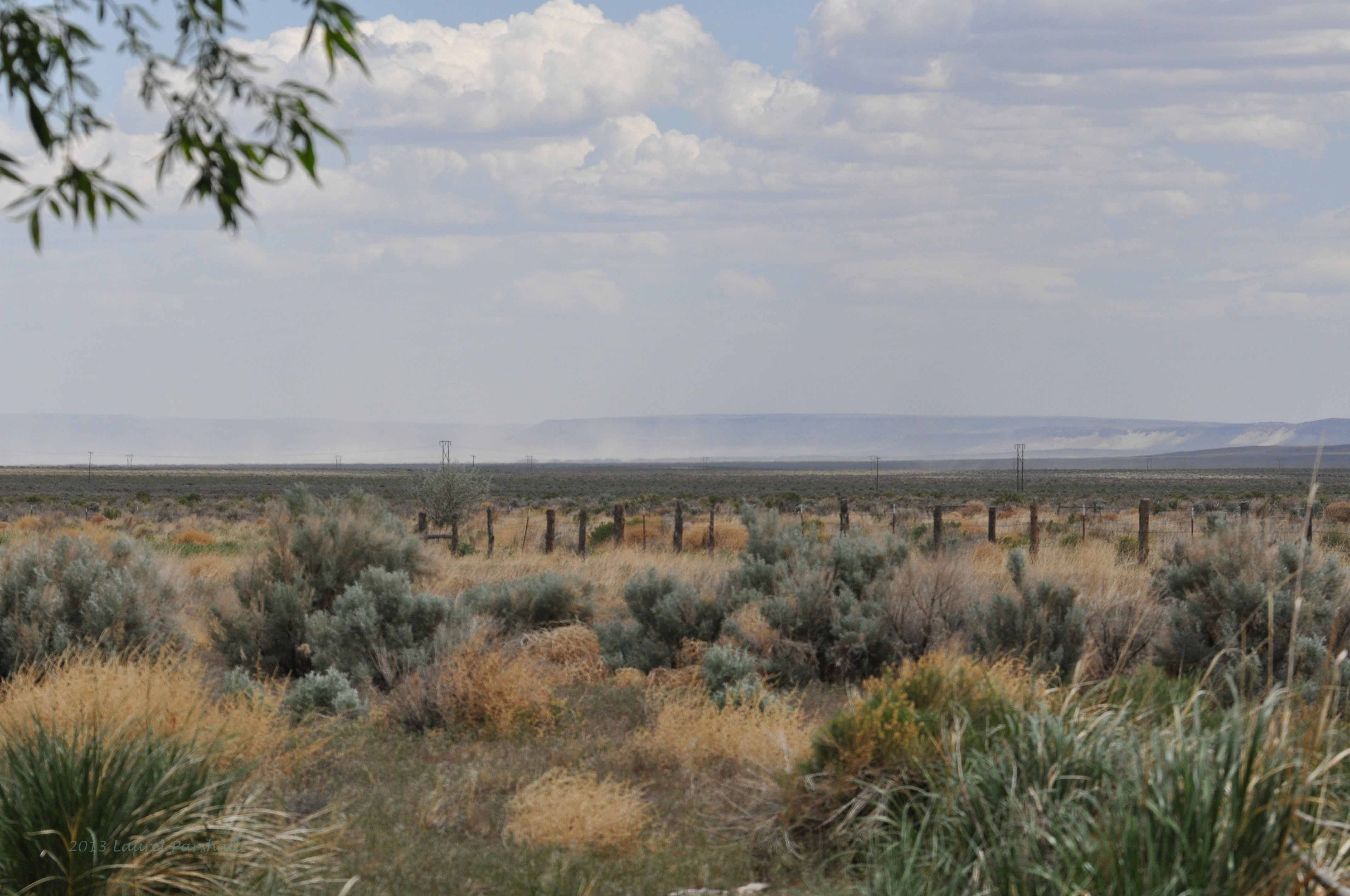
Sagebrush steppe: south of Fields, Oregon
Topographic Map of Fields, OR, USA
Find elevation by address:

Places in Fields, OR, USA:
Places near Fields, OR, USA:
Fields-Denio Rd, Fields, OR, USA
Frenchglen
Diamond
Hotel Diamond
Harney County
South Harney Road
Malheur Lake
Crystal Crane Hot Springs
Quincy Road
US-, Hines, OR, USA
Hines
Harney County Fair Office
24 E Monroe St, Burns, OR, USA
Burns
Burns, Or
Riley
Recent Searches:
- Elevation of Corso Fratelli Cairoli, 35, Macerata MC, Italy
- Elevation of Tallevast Rd, Sarasota, FL, USA
- Elevation of 4th St E, Sonoma, CA, USA
- Elevation of Black Hollow Rd, Pennsdale, PA, USA
- Elevation of Oakland Ave, Williamsport, PA, USA
- Elevation of Pedrógão Grande, Portugal
- Elevation of Klee Dr, Martinsburg, WV, USA
- Elevation of Via Roma, Pieranica CR, Italy
- Elevation of Tavkvetili Mountain, Georgia
- Elevation of Hartfords Bluff Cir, Mt Pleasant, SC, USA