Elevation of South Harney Road, S Harney Rd, Oregon, USA
Location: United States > Oregon > Harney County > Burns >
Longitude: -119.13507
Latitude: 43.193006
Elevation: 1249m / 4098feet
Barometric Pressure: 87KPa
Elevation Map:
Satellite Map:
Related Photos:
-1305_AudubonMalheur_083
DSC_0079-a21

Western Kingbird (Tyrannus verticalis) DDZ_4033

Male Bullock's Oriole (Icterus bullockii) DDZ_4035
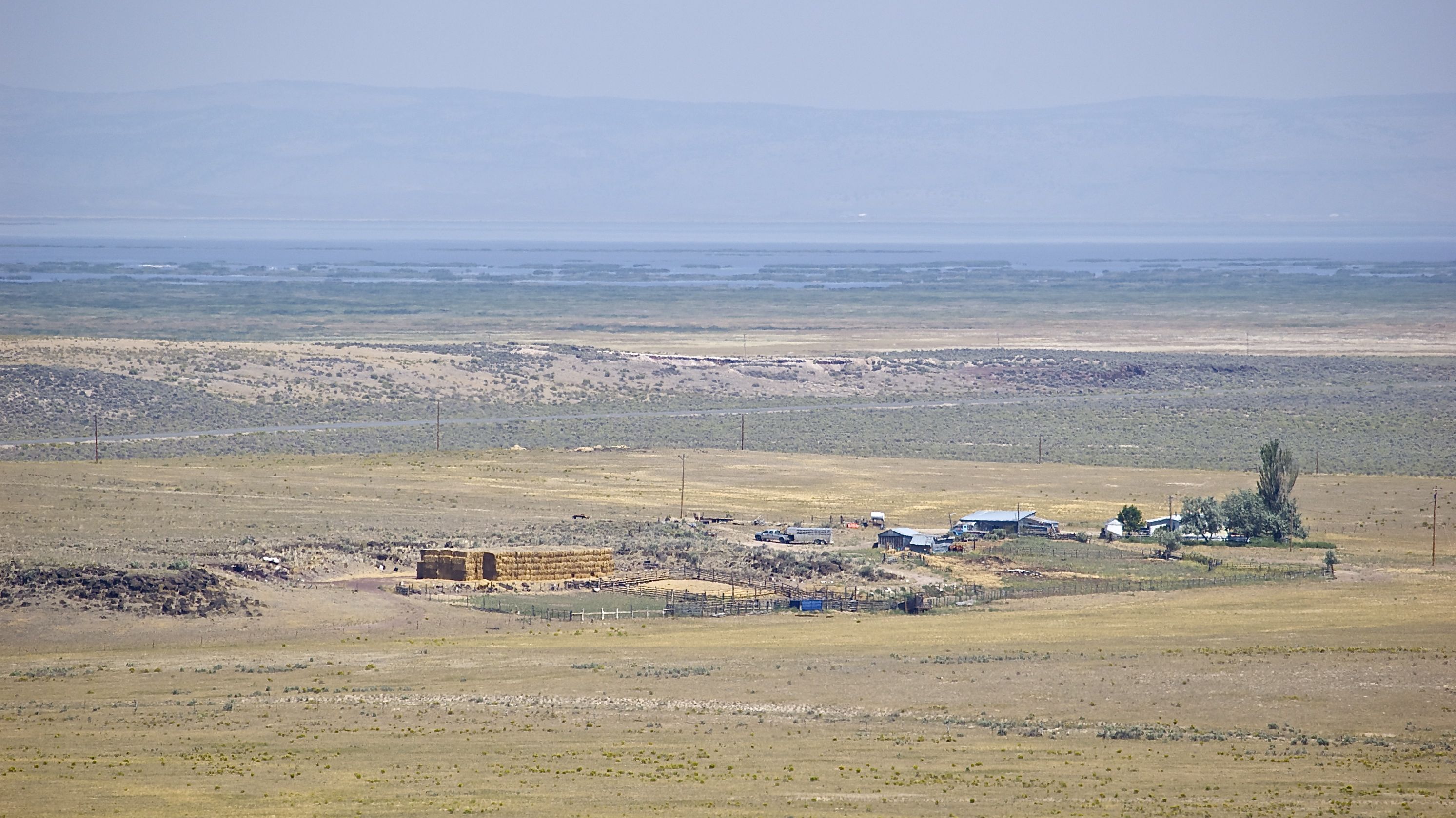
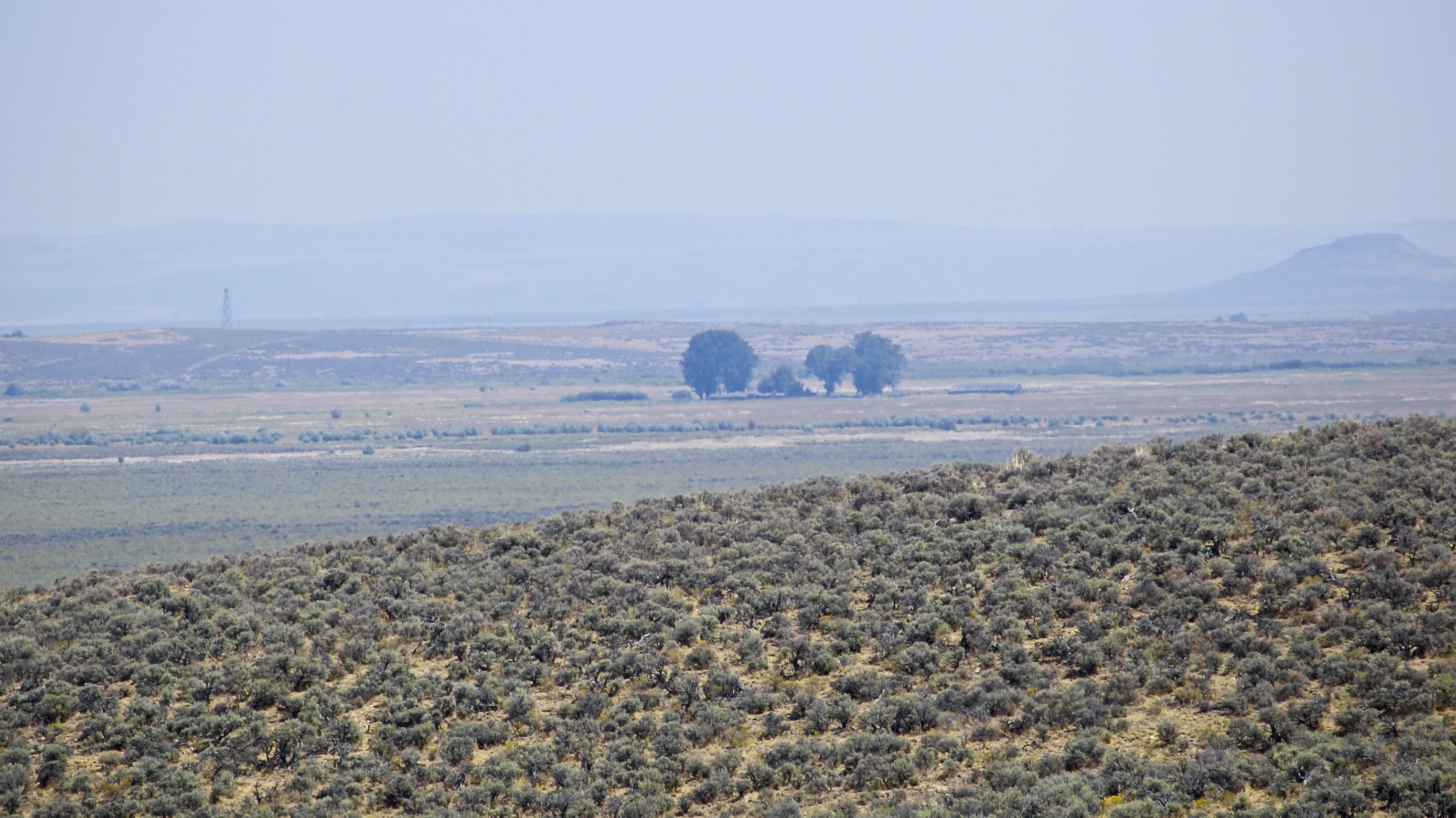
Double O Ranch, Malheur National Wildlife Refuge
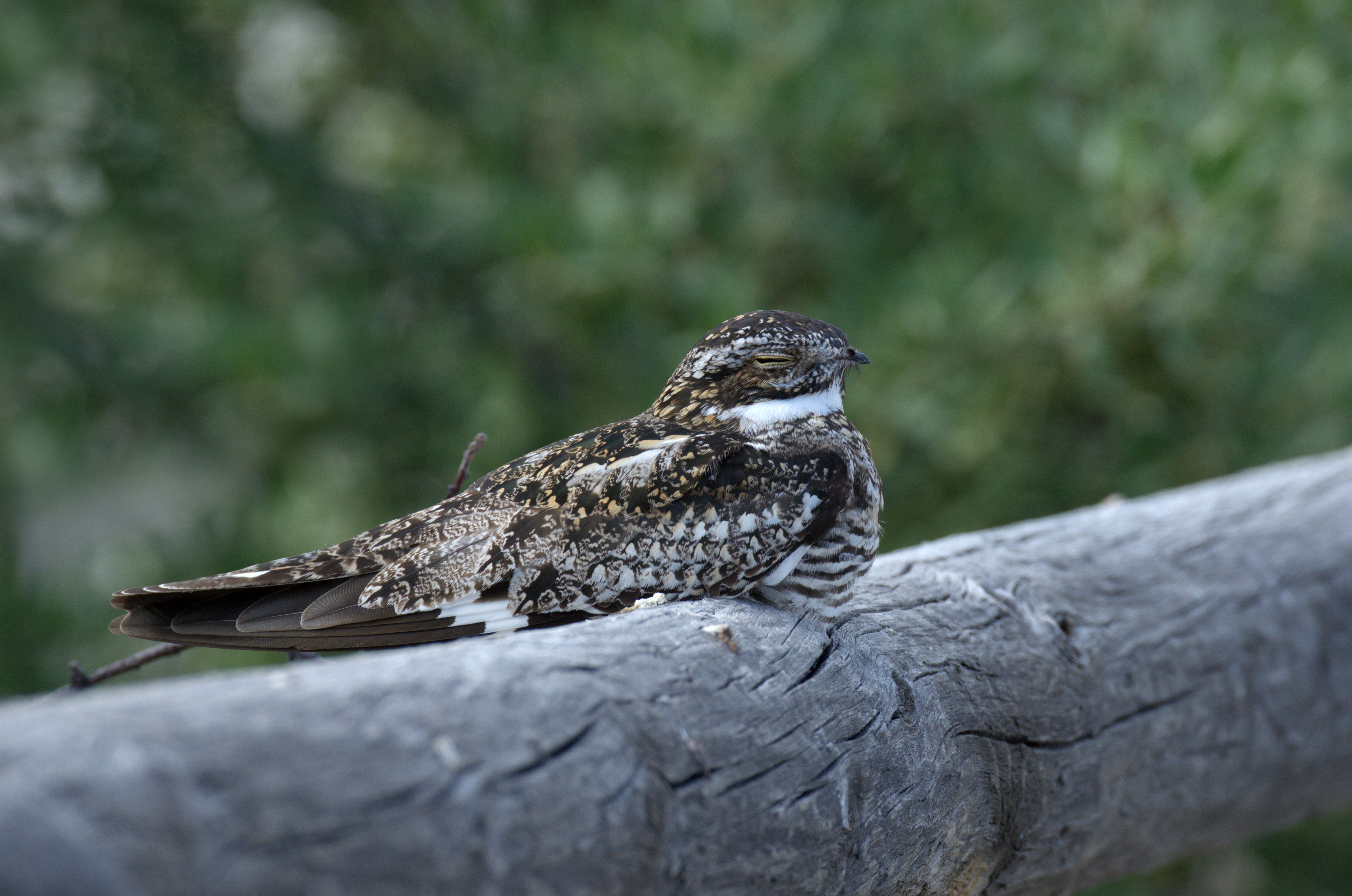
Common Nighthawk (Chordeiles minor) DDZ_5865

Killdeer (Charadrius vociferus) DDZ_5792
DSC_0080-a22

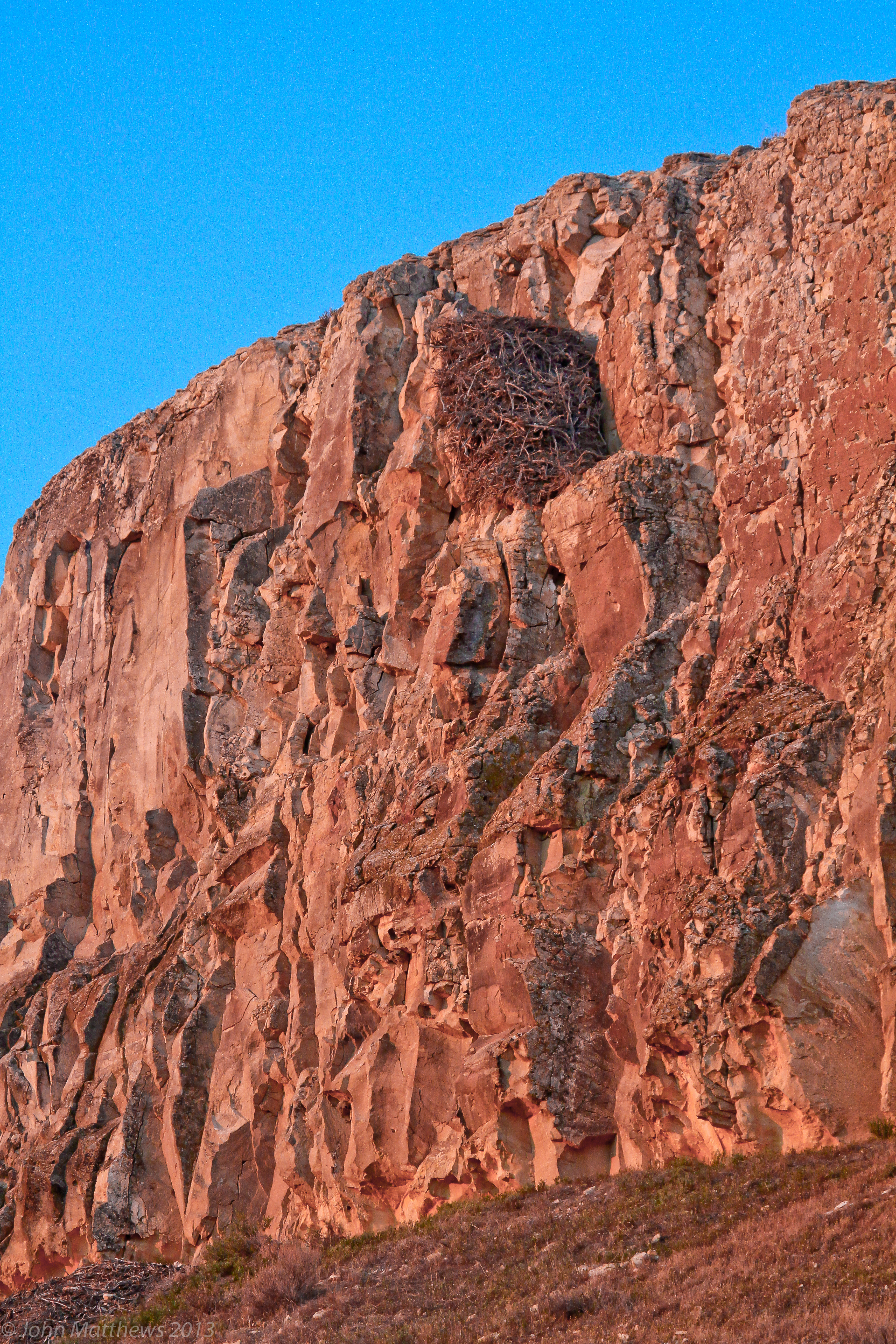
05192013 565 Golden Eagle nest
Double O Ranch, Malheur National Wildlife Refuge

Common Nighthawk (Chordeiles minor) DDZ_5878
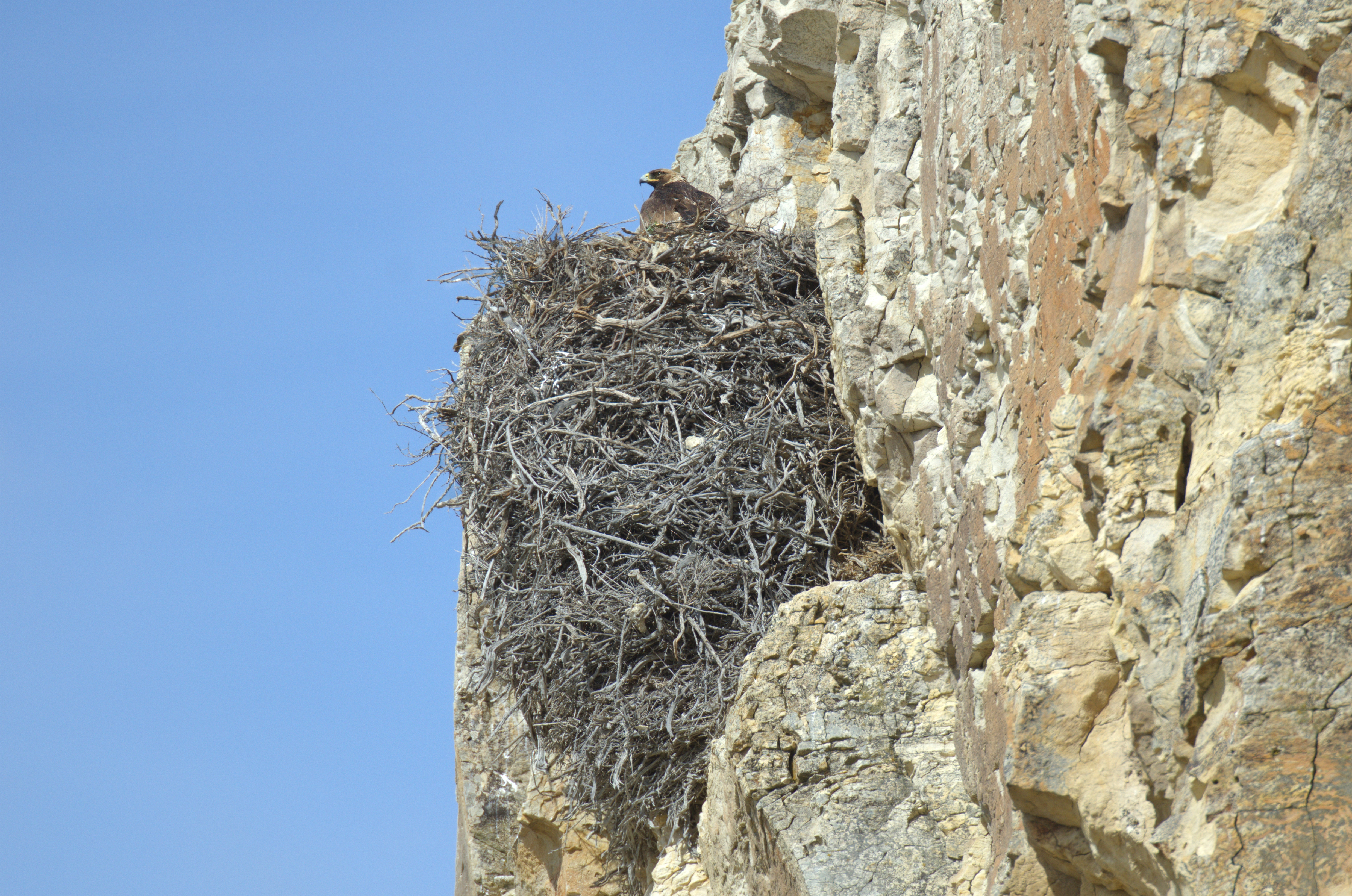
Golden Eagle (Aquila chrysaetos) DDZ_2595

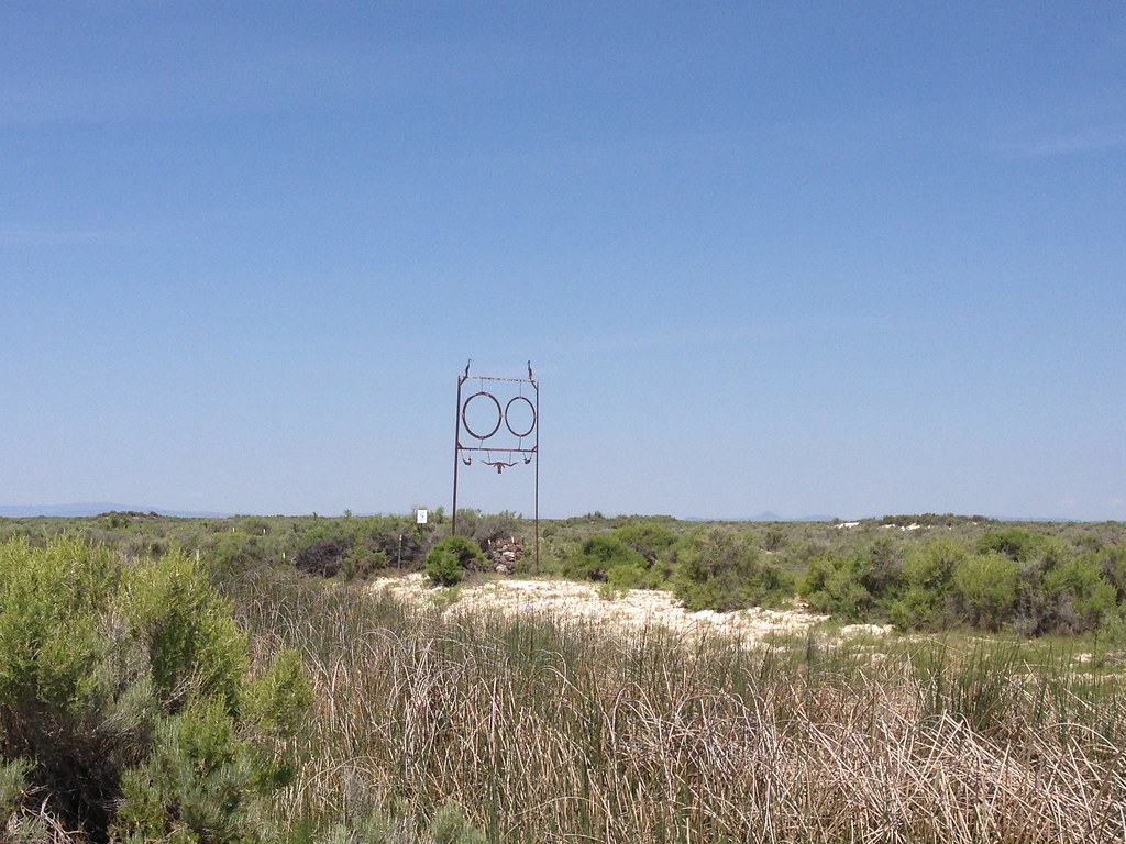
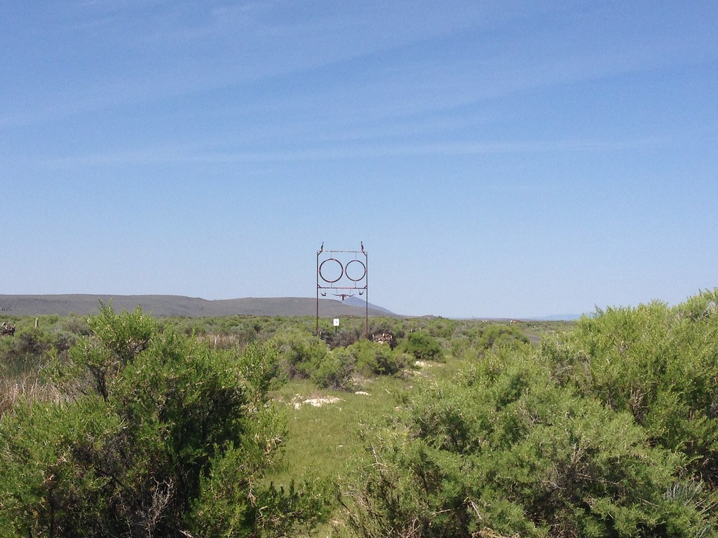
Buena Vista Overlook
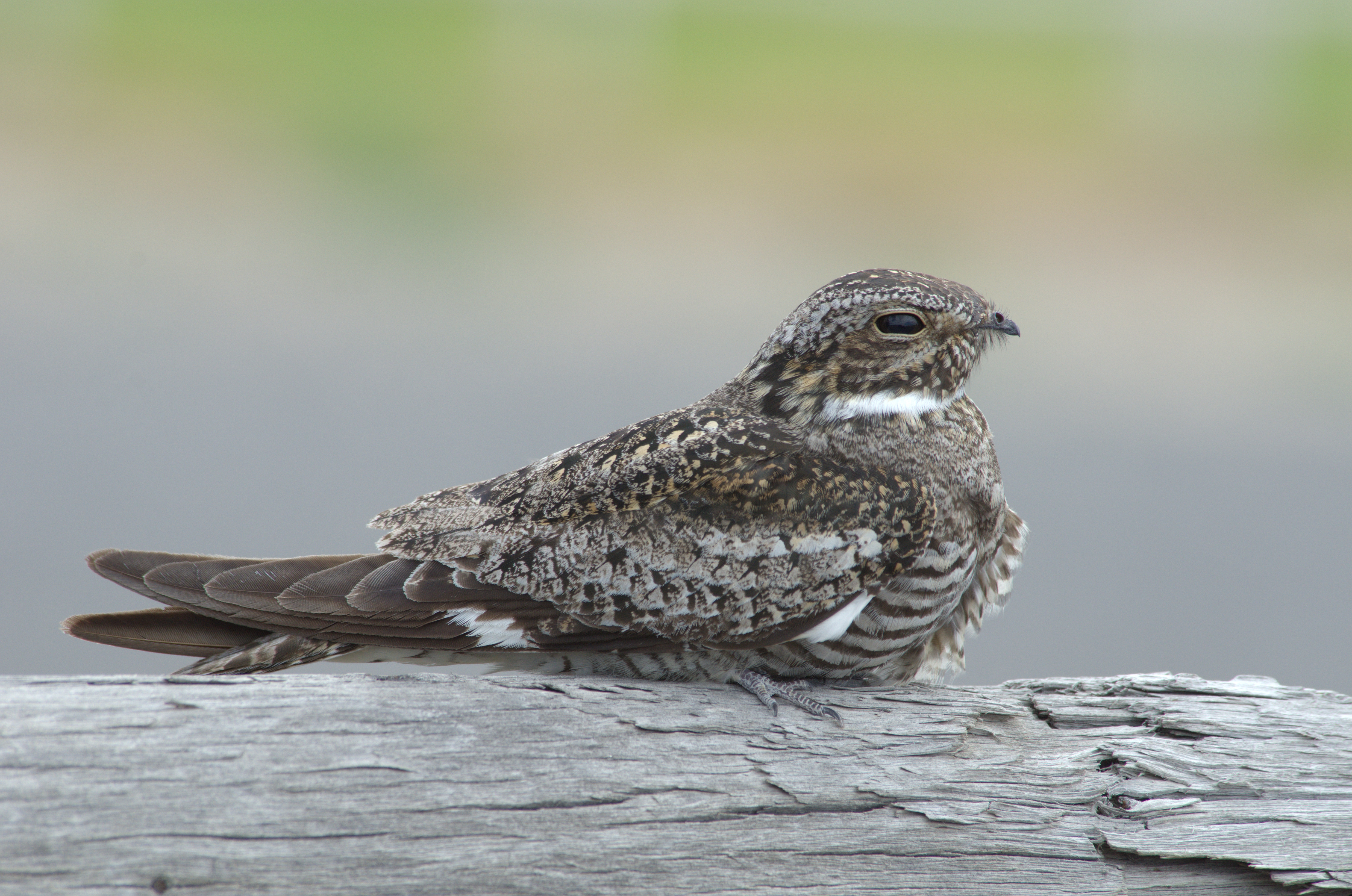
Common Nighthawk (Chordeiles minor) DDZ_7788

Common Nighthawk (Chordeiles minor) DDZ_7943c

Golden Eagle

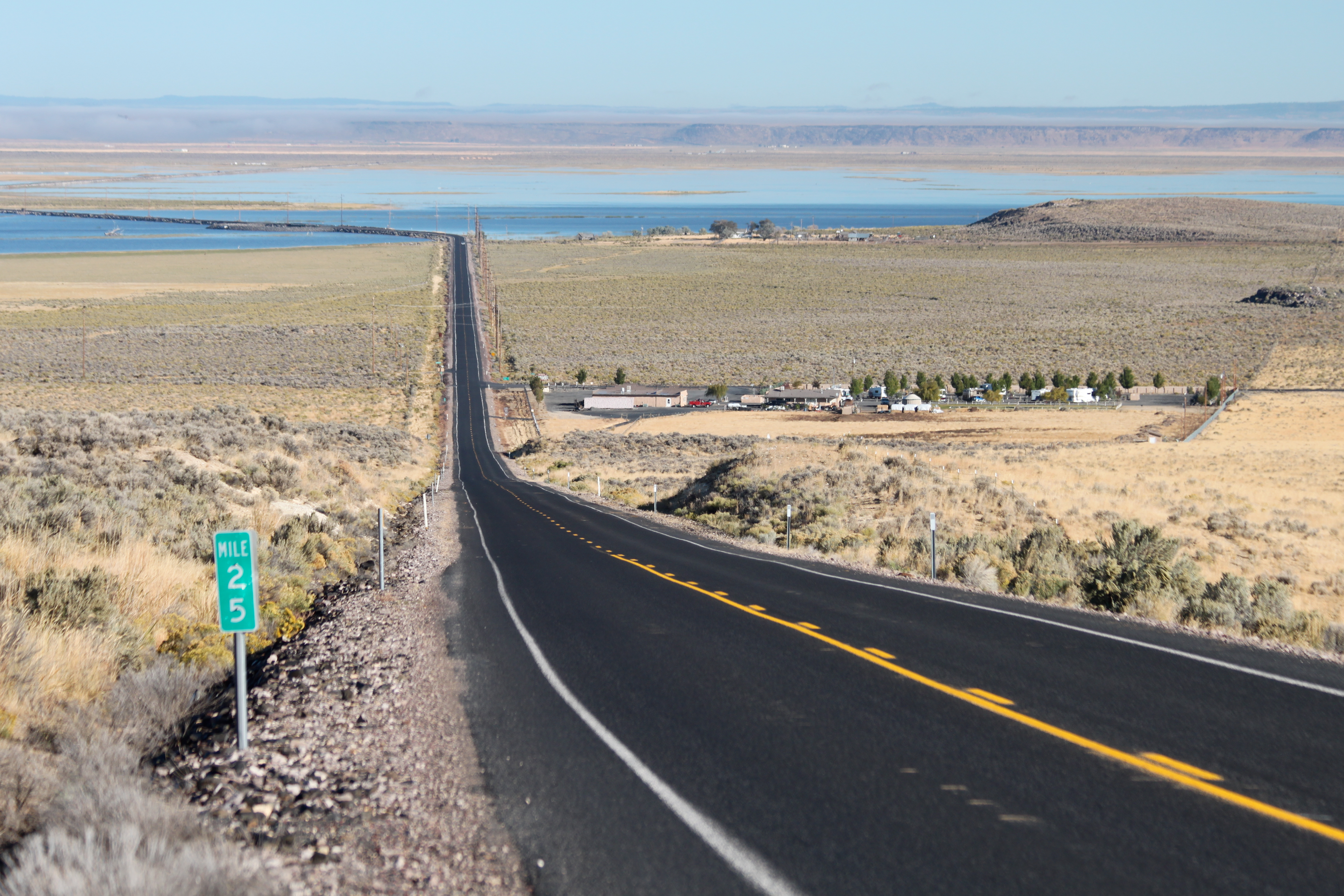
Mile 25

a580 201 (2) Leading the herd

20111008-018
20111008-017
Topographic Map of South Harney Road, S Harney Rd, Oregon, USA
Find elevation by address:

Places near South Harney Road, S Harney Rd, Oregon, USA:
Harney County
US-, Hines, OR, USA
Hines
Harney County Fair Office
Burns, Or
Malheur Lake
24 E Monroe St, Burns, OR, USA
Burns
Frenchglen
Hotel Diamond
Diamond
Riley
Crystal Crane Hot Springs
Quincy Road
Fields
Fields-Denio Rd, Fields, OR, USA
Recent Searches:
- Elevation of Corso Fratelli Cairoli, 35, Macerata MC, Italy
- Elevation of Tallevast Rd, Sarasota, FL, USA
- Elevation of 4th St E, Sonoma, CA, USA
- Elevation of Black Hollow Rd, Pennsdale, PA, USA
- Elevation of Oakland Ave, Williamsport, PA, USA
- Elevation of Pedrógão Grande, Portugal
- Elevation of Klee Dr, Martinsburg, WV, USA
- Elevation of Via Roma, Pieranica CR, Italy
- Elevation of Tavkvetili Mountain, Georgia
- Elevation of Hartfords Bluff Cir, Mt Pleasant, SC, USA