Elevation of Harney County Fair Office, S Egan Ave, Burns, OR, USA
Location: United States > Oregon > Harney County > Burns >
Longitude: -119.05972
Latitude: 43.5785817
Elevation: 1263m / 4144feet
Barometric Pressure: 87KPa
Elevation Map:
Satellite Map:
Related Photos:

The view from my office at the Harney County Fair Grounds tonight. Benefit for all small schools in the region. Great food, great tunes, great people, and a great cause. #Countryfied17 #plusbex

tough guy

sweet plains music

delicate rain walk
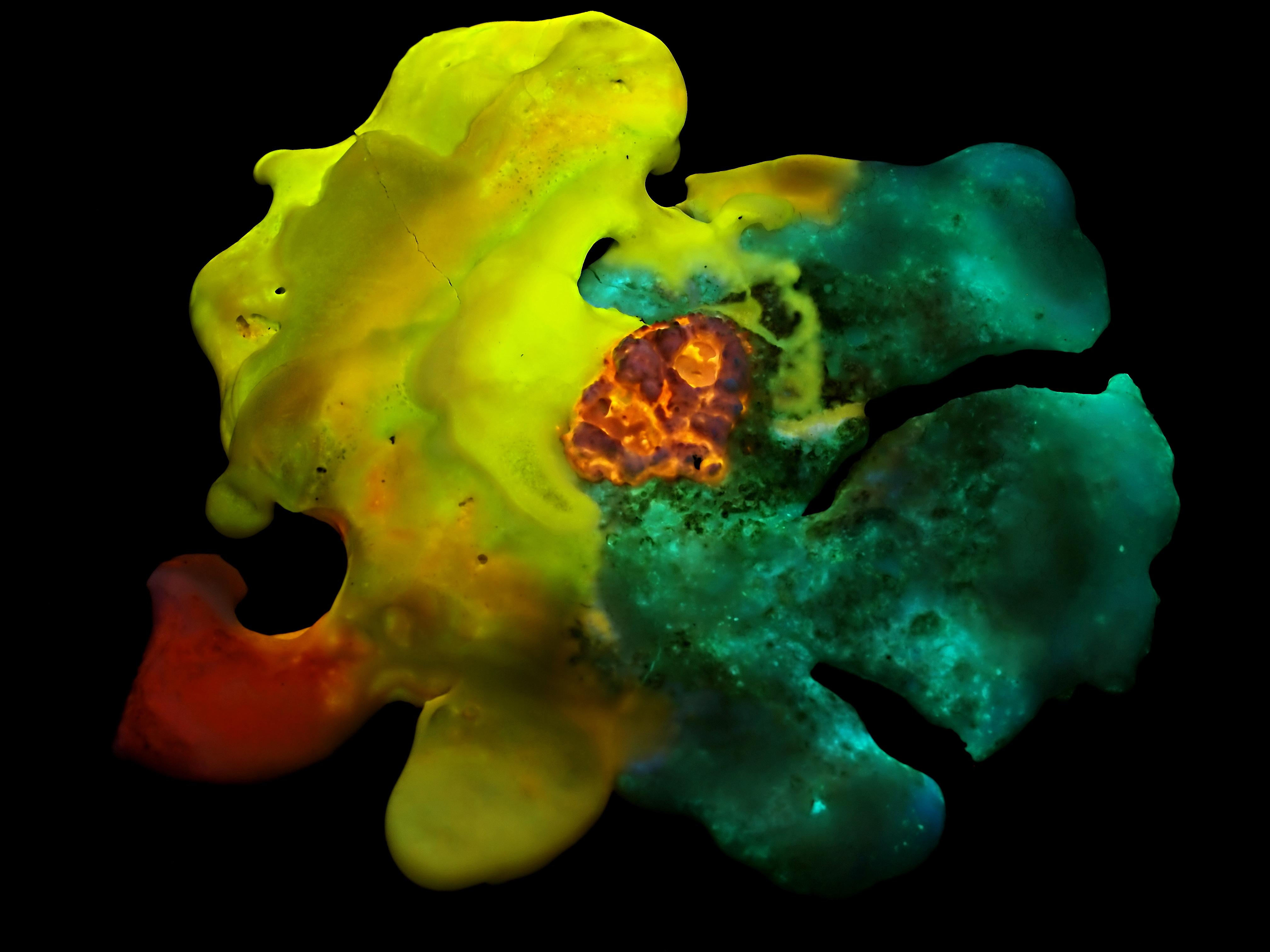
Synthetic Fluorescent Mineral Art: "Harlequin" - UVabc
View looking southwest
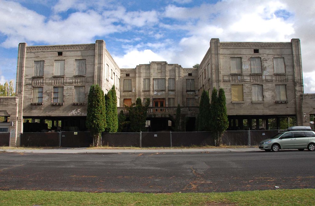
Fortress... 20111016_1912

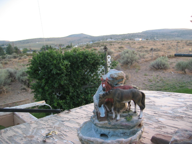
View from my office tonight #Countryfied15 #hcf15

View from my office setting up with #Countryfied15 at the #hcf15 . Show starts at 6..... Stop by and say Hi!

Burns Oregon
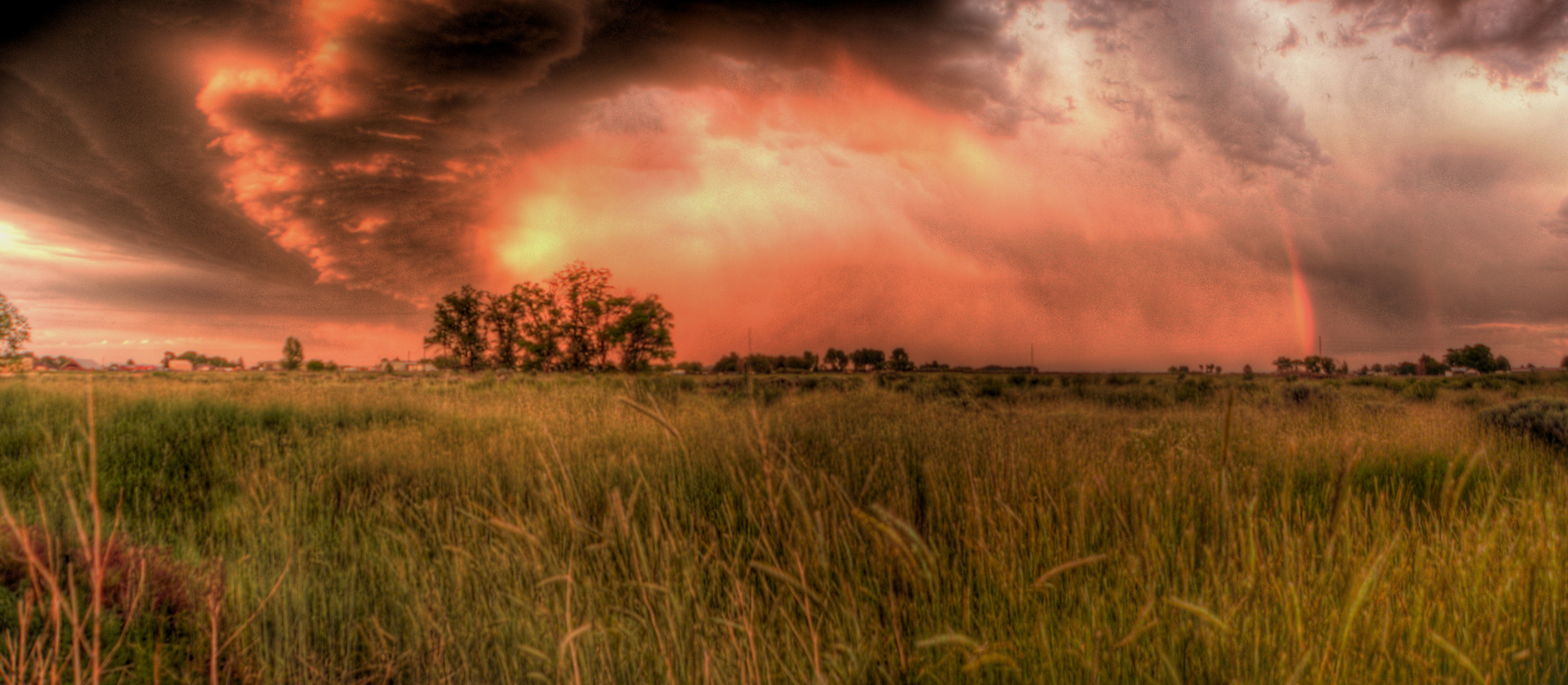
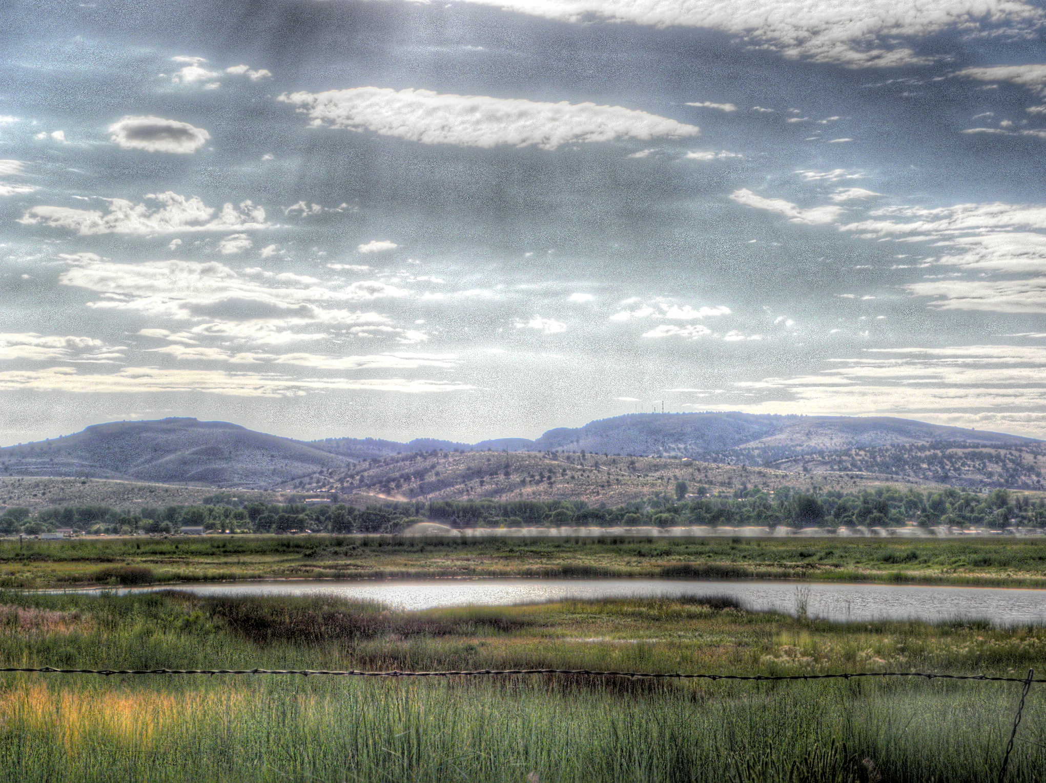
Sunset (HDR) (Panorama)
Ghost Lake
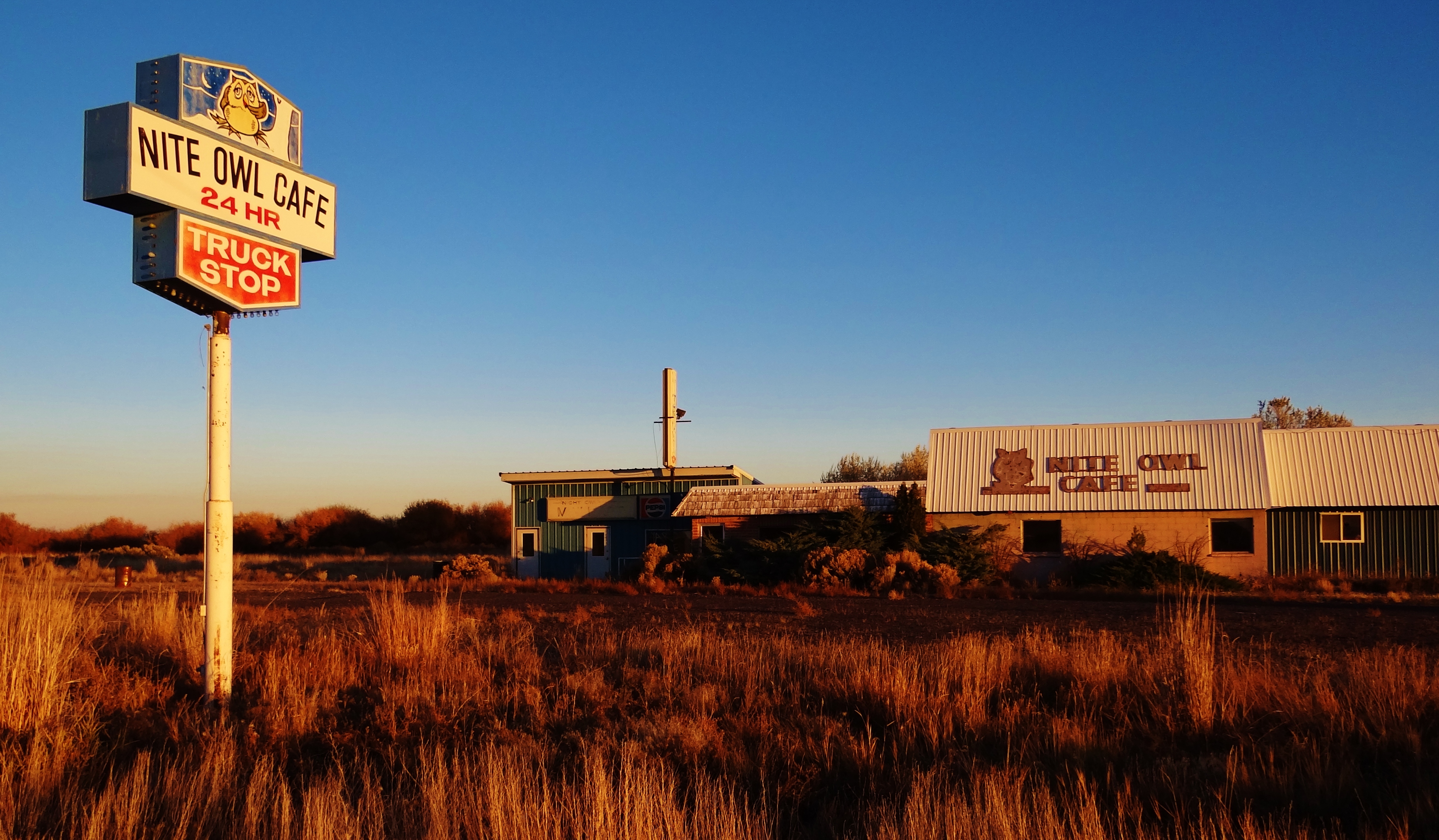
Ghost Truckstop
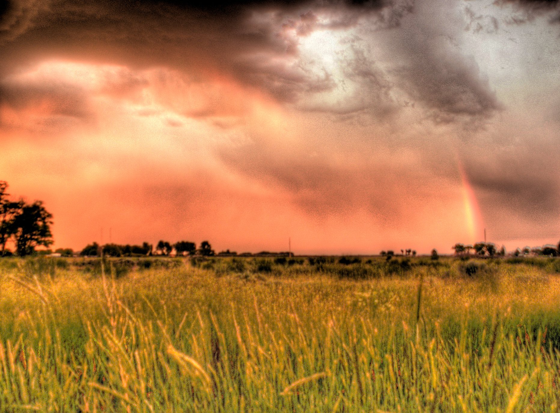
Rainbow Sunset 1 (HDR)
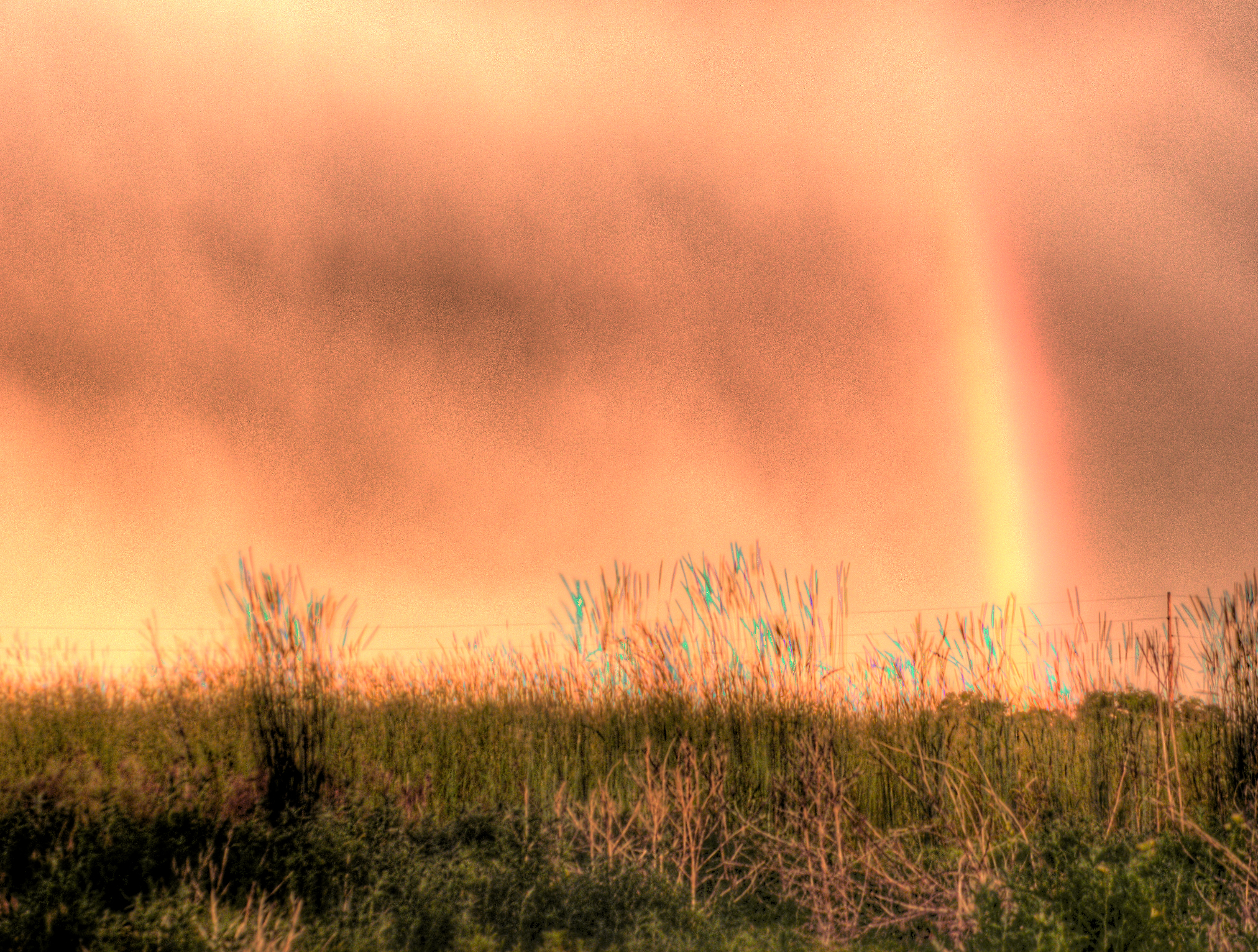
Sunset Rainbow 2 (HDR)
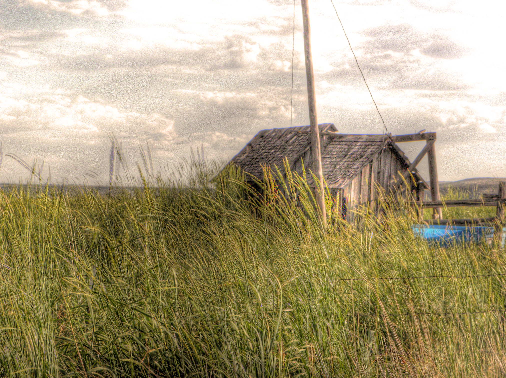
The Outhouse
DSC_0044-a8

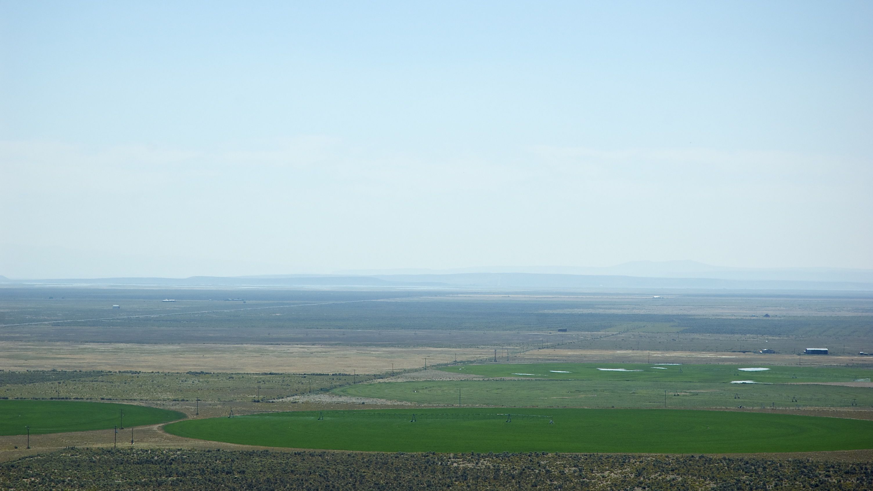
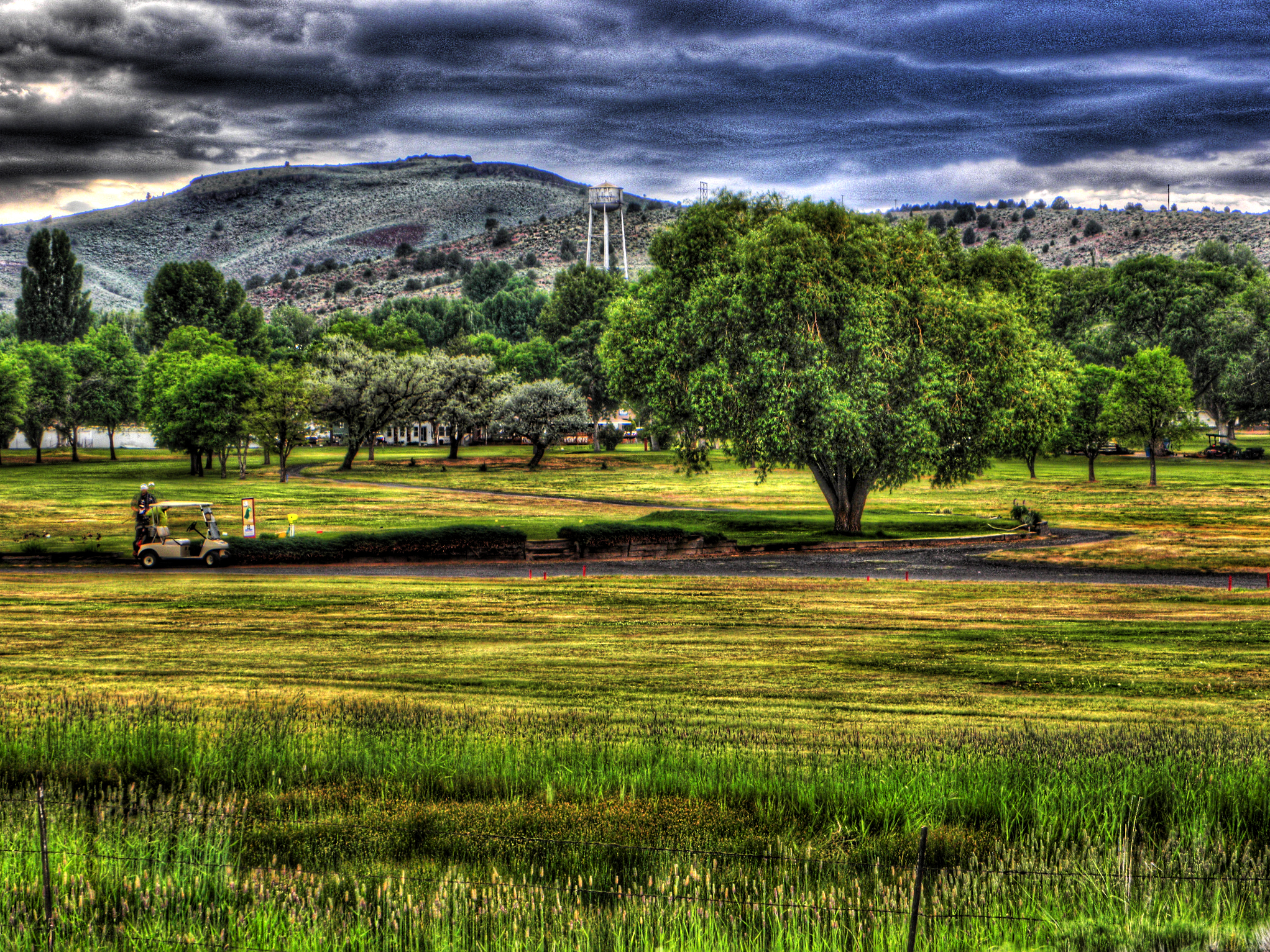
Golf Course
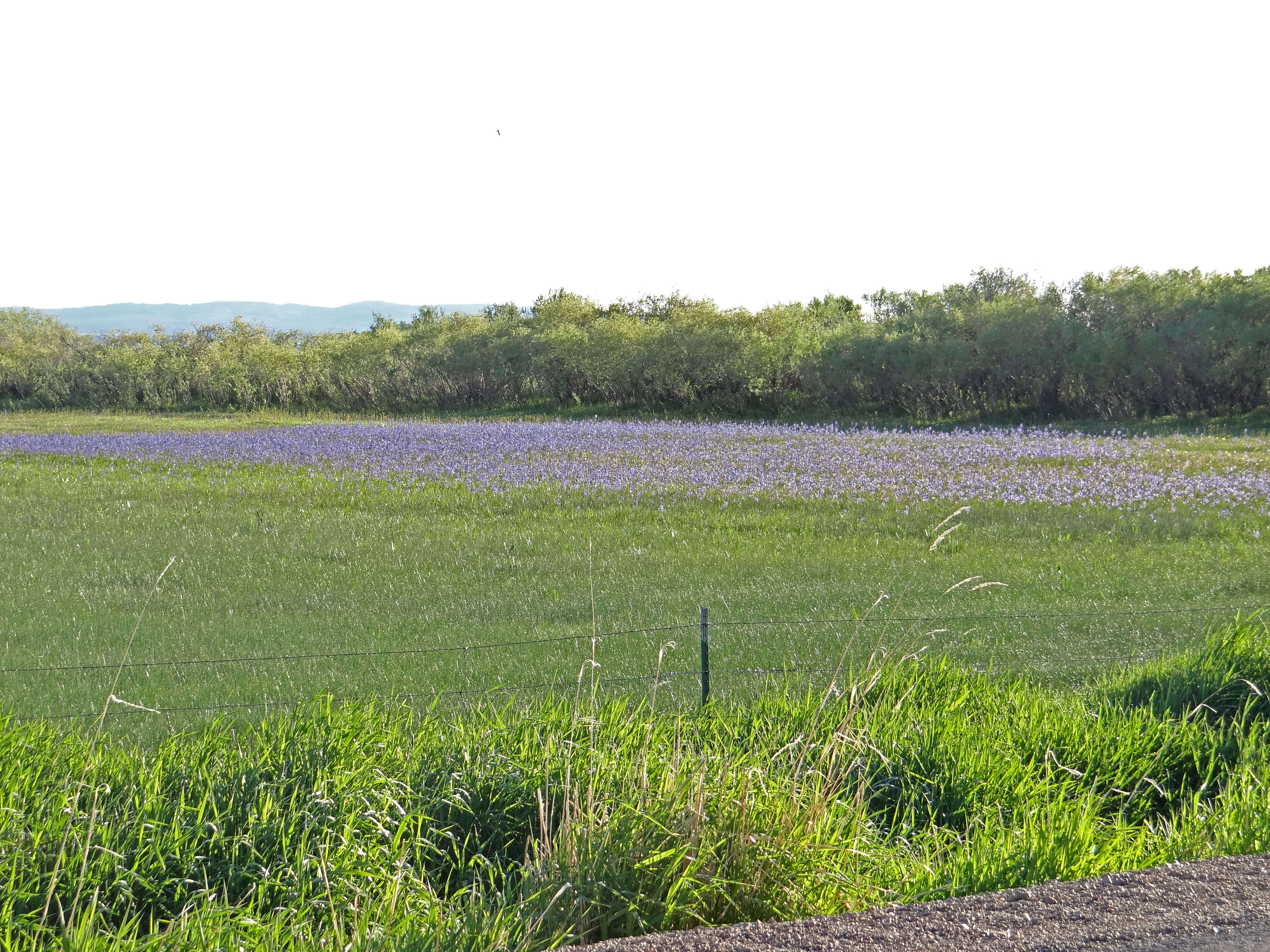
05192013 009 Camassia quamash in the fields around Burns
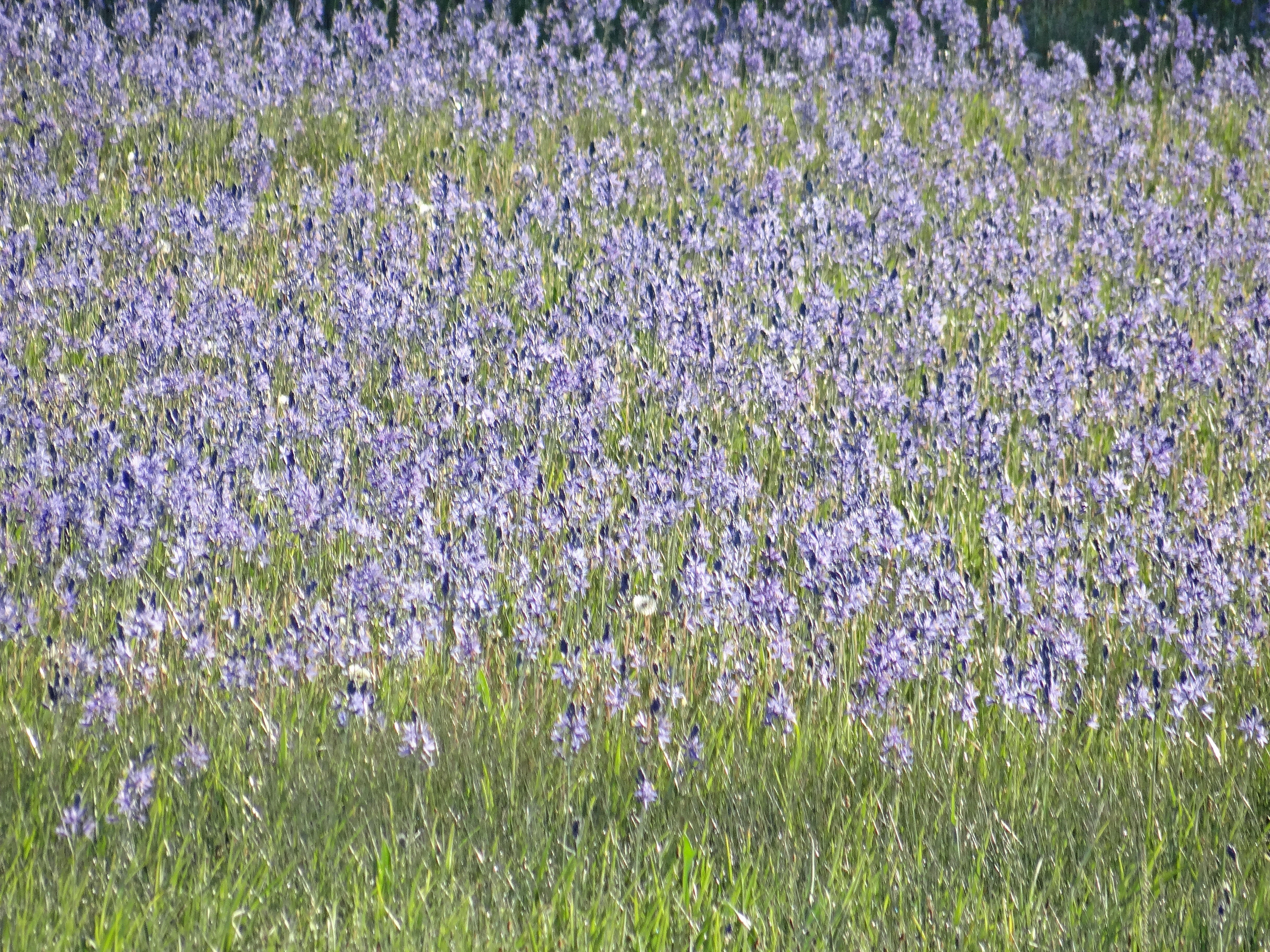
05192013 008 Camassia quamash
SE Oregon March 2014
2009_07_16-16_56_38-IMG_0921
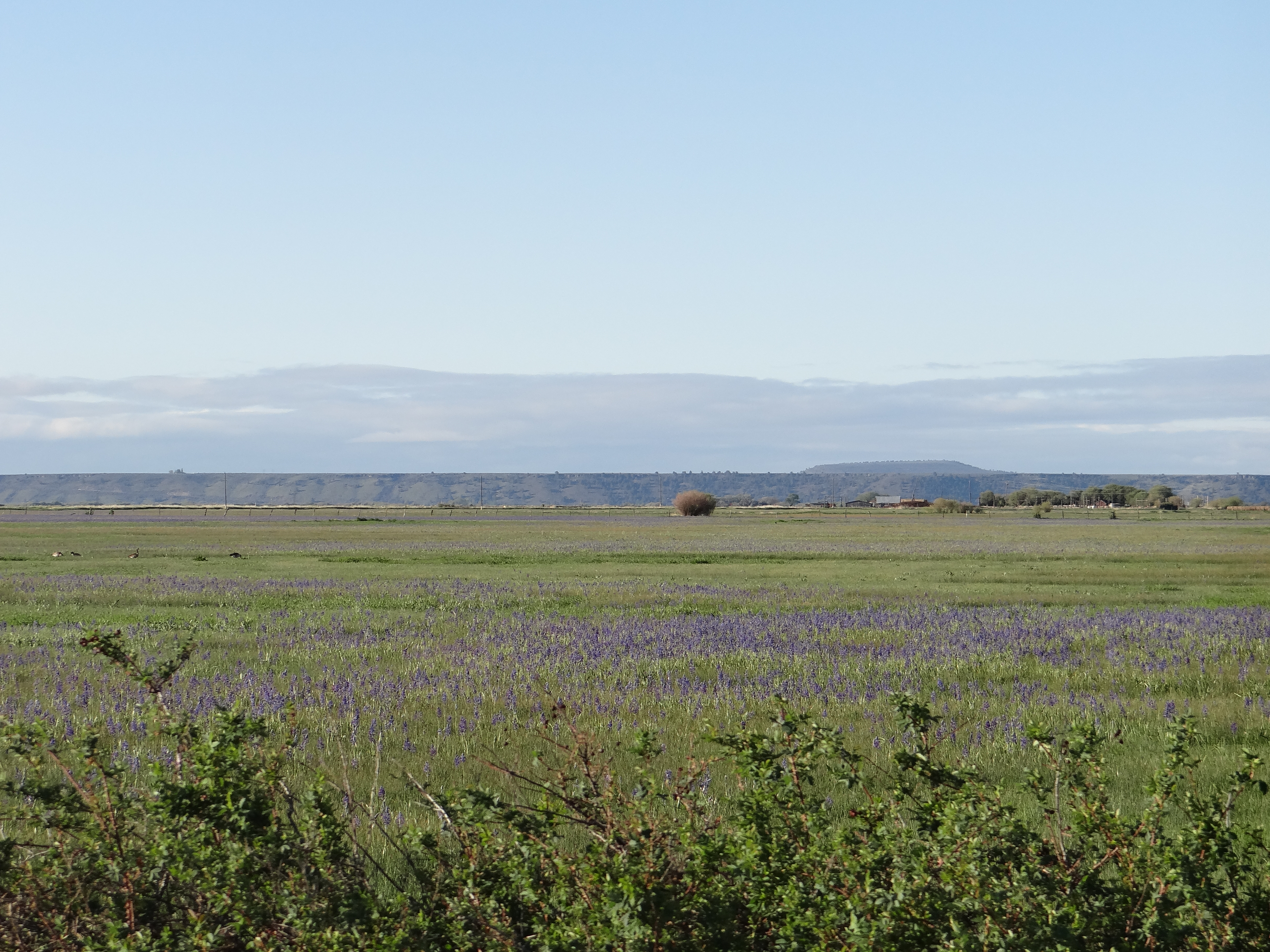
05192013 005 Camas blooming
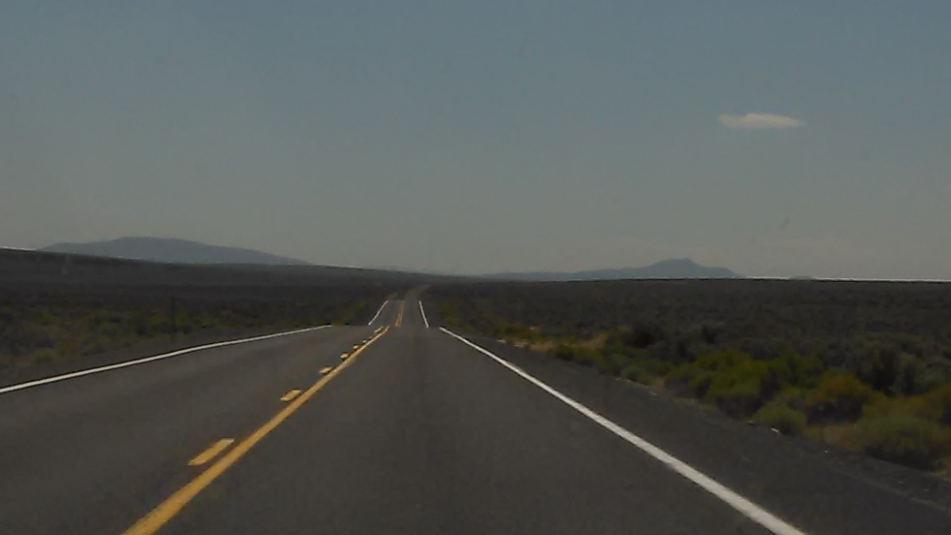
Driving to Lakeview OR

20111008-005
20111008-007

I like when the sky is similar to Mount Vesuvius erupting.
Angels Breath

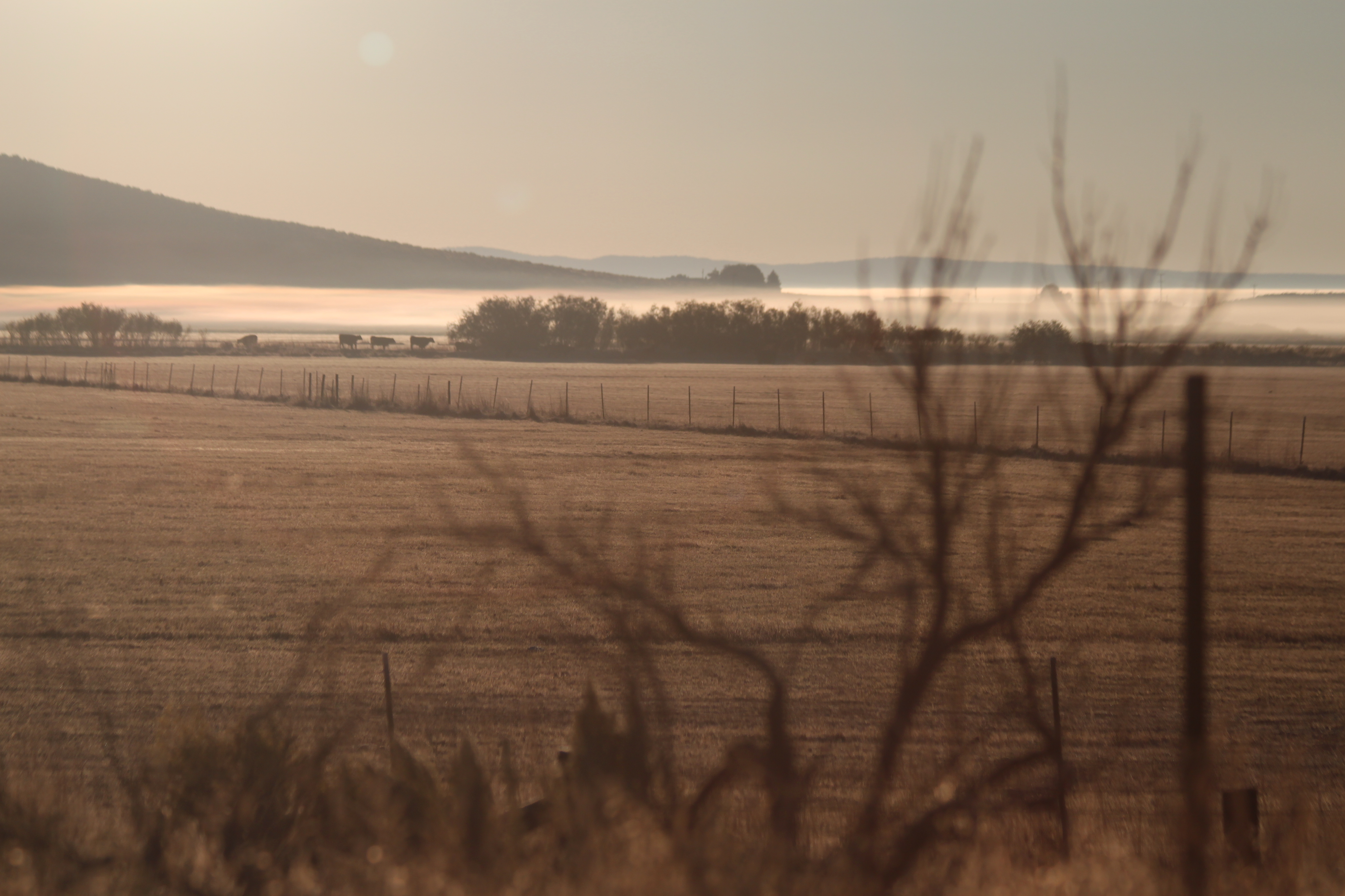
Grassy Field

The Awakening
Topographic Map of Harney County Fair Office, S Egan Ave, Burns, OR, USA
Find elevation by address:

Places near Harney County Fair Office, S Egan Ave, Burns, OR, USA:
Burns, Or
24 E Monroe St, Burns, OR, USA
Burns
Hines
US-, Hines, OR, USA
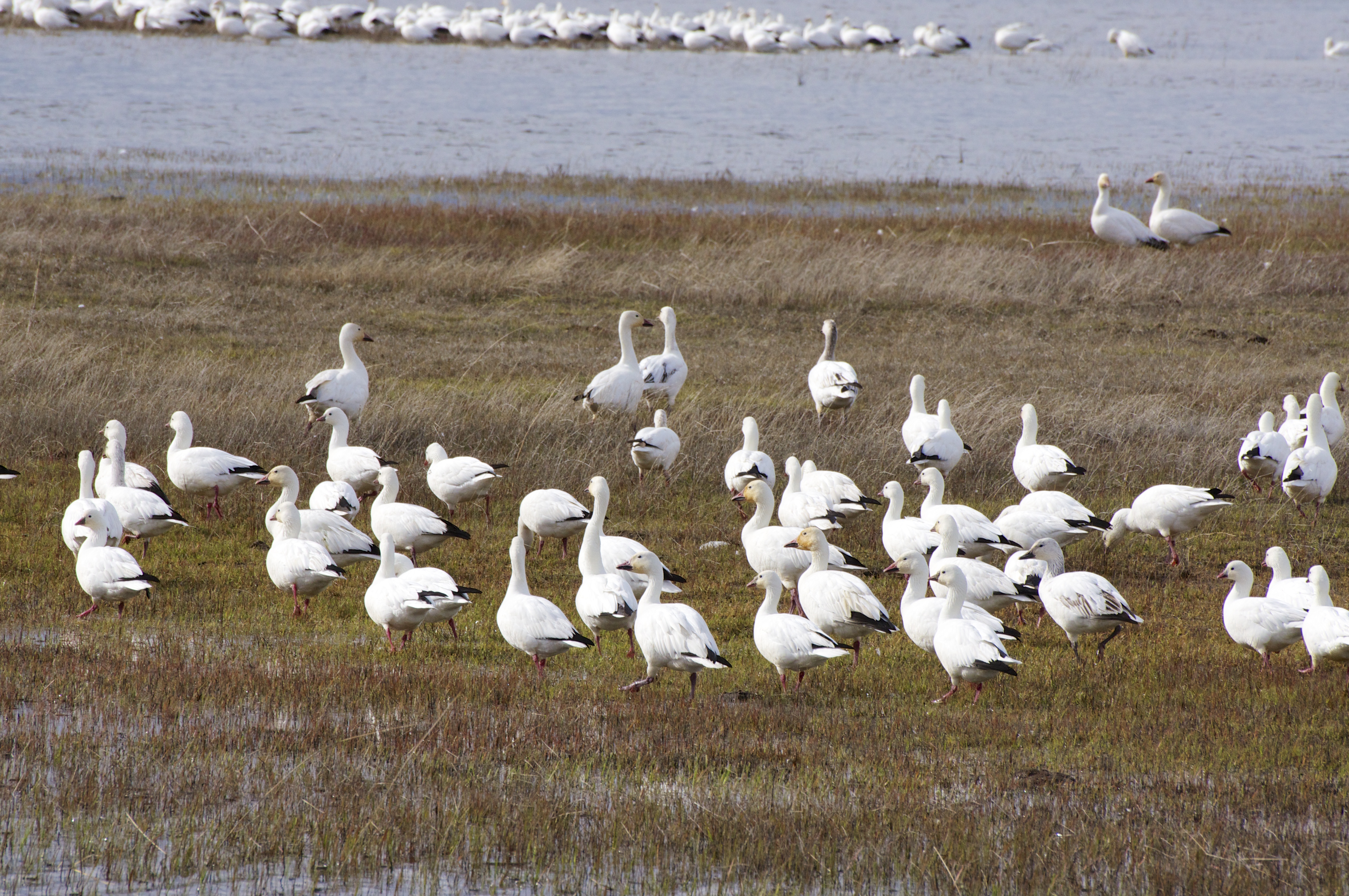
Malheur Lake
South Harney Road
Quincy Road
Harney County
Crystal Crane Hot Springs
Riley
Hotel Diamond
Diamond
Frenchglen
Fields
Fields-Denio Rd, Fields, OR, USA
Recent Searches:
- Elevation of Corso Fratelli Cairoli, 35, Macerata MC, Italy
- Elevation of Tallevast Rd, Sarasota, FL, USA
- Elevation of 4th St E, Sonoma, CA, USA
- Elevation of Black Hollow Rd, Pennsdale, PA, USA
- Elevation of Oakland Ave, Williamsport, PA, USA
- Elevation of Pedrógão Grande, Portugal
- Elevation of Klee Dr, Martinsburg, WV, USA
- Elevation of Via Roma, Pieranica CR, Italy
- Elevation of Tavkvetili Mountain, Georgia
- Elevation of Hartfords Bluff Cir, Mt Pleasant, SC, USA