Elevation map of Harney County, OR, USA
Location: United States > Oregon >
Longitude: -119.01163
Latitude: 43.1423225
Elevation: 1376m / 4514feet
Barometric Pressure: 86KPa
Elevation Map:
Satellite Map:
Related Photos:

Dragonfly Terminal

Great Sunny Egret Soaring
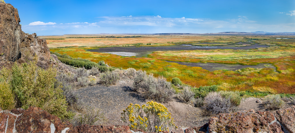
Malheur wetlands September high noon

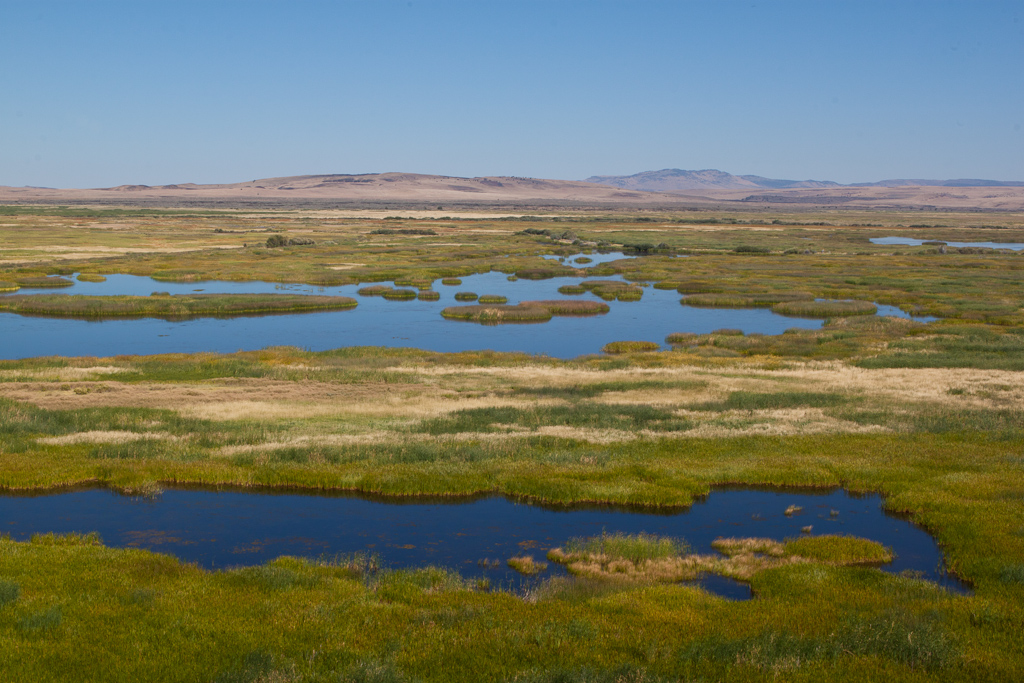
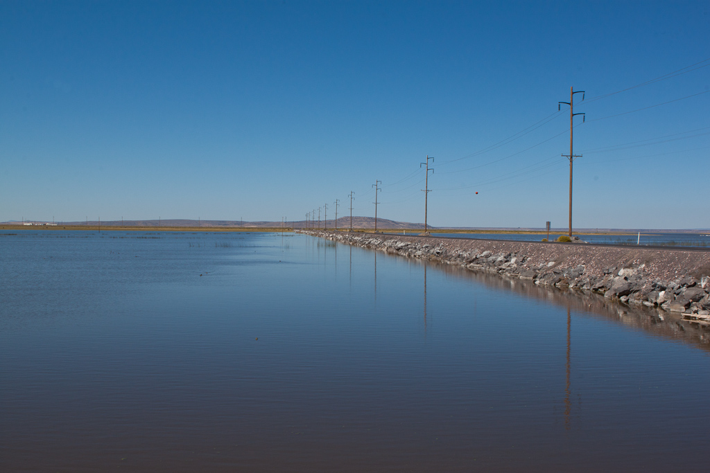
Malheur Lake

-1305_AudubonMalheur_184

-1305_AudubonMalheur_083
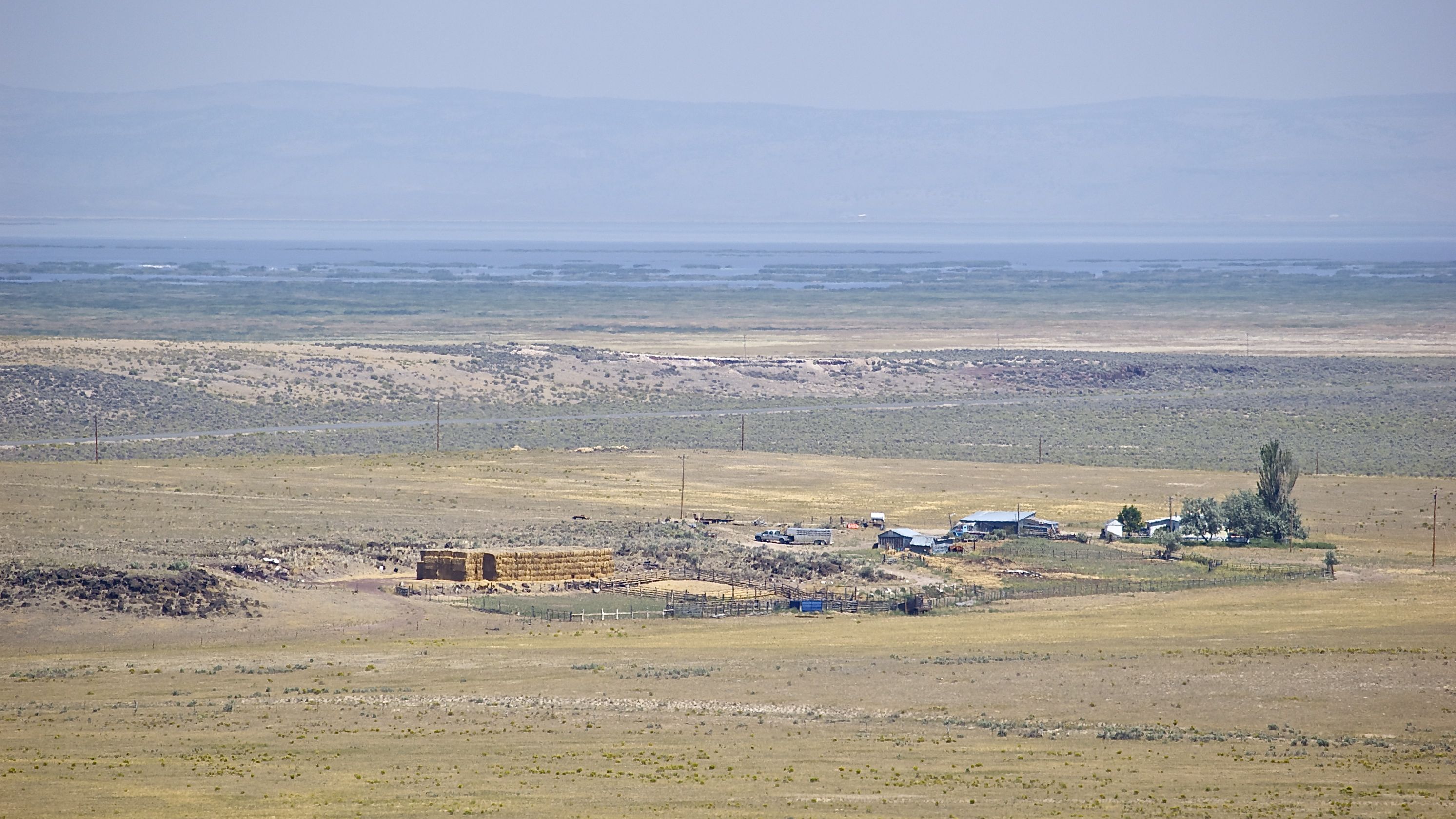
Buena Vista Lookout
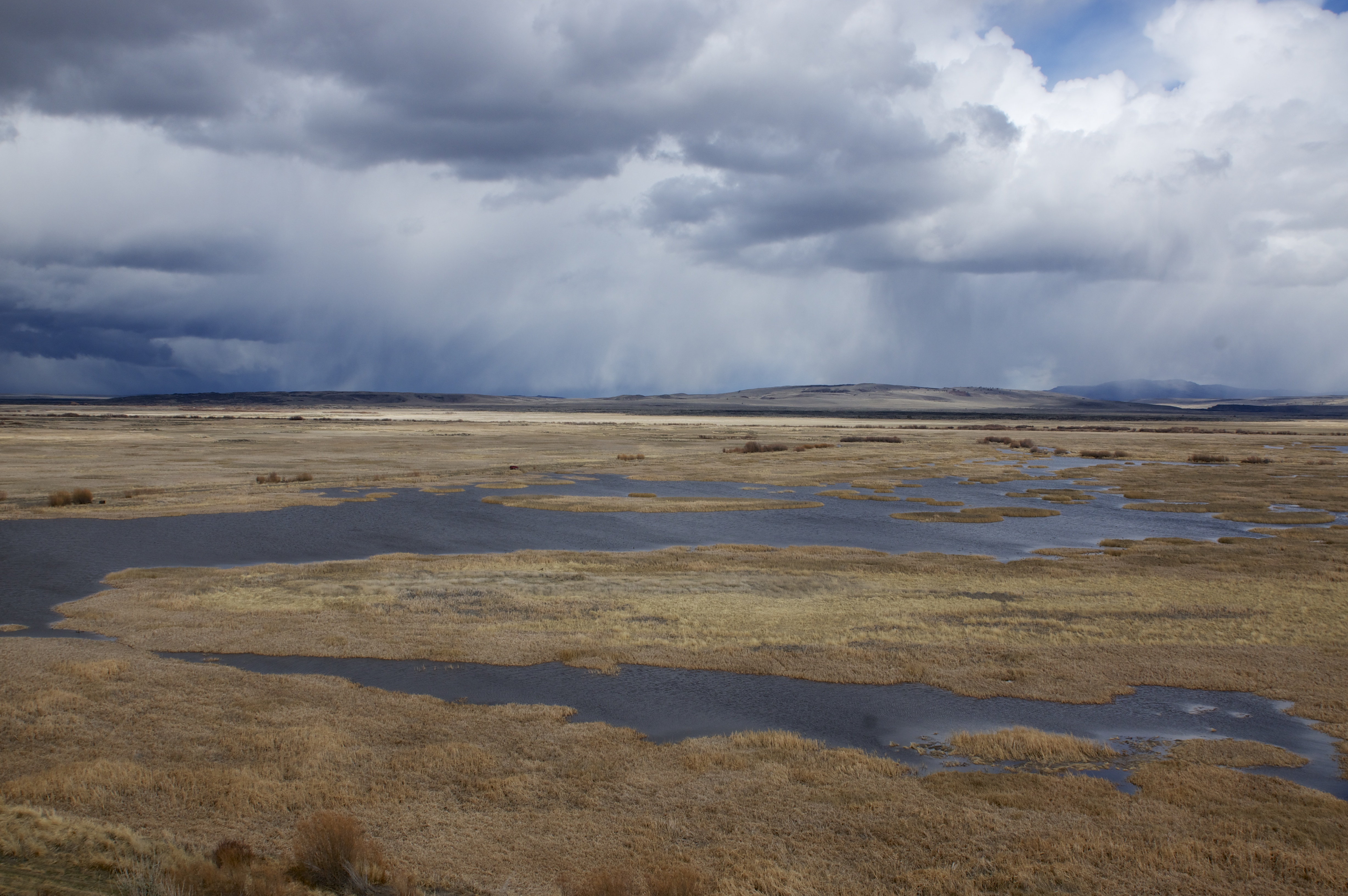
SE Oregon March 2014

Buena Vista Lookout
DSC_0079-a21
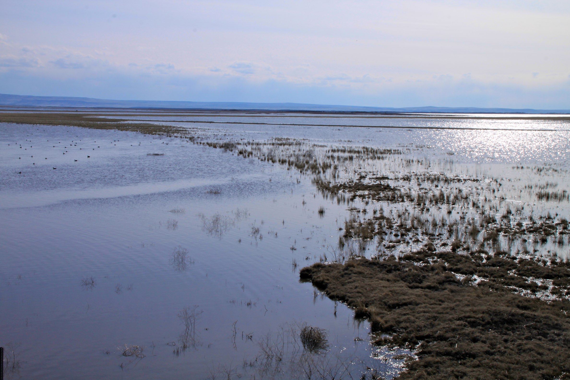
Malheur Lake
SE Oregon March 2014
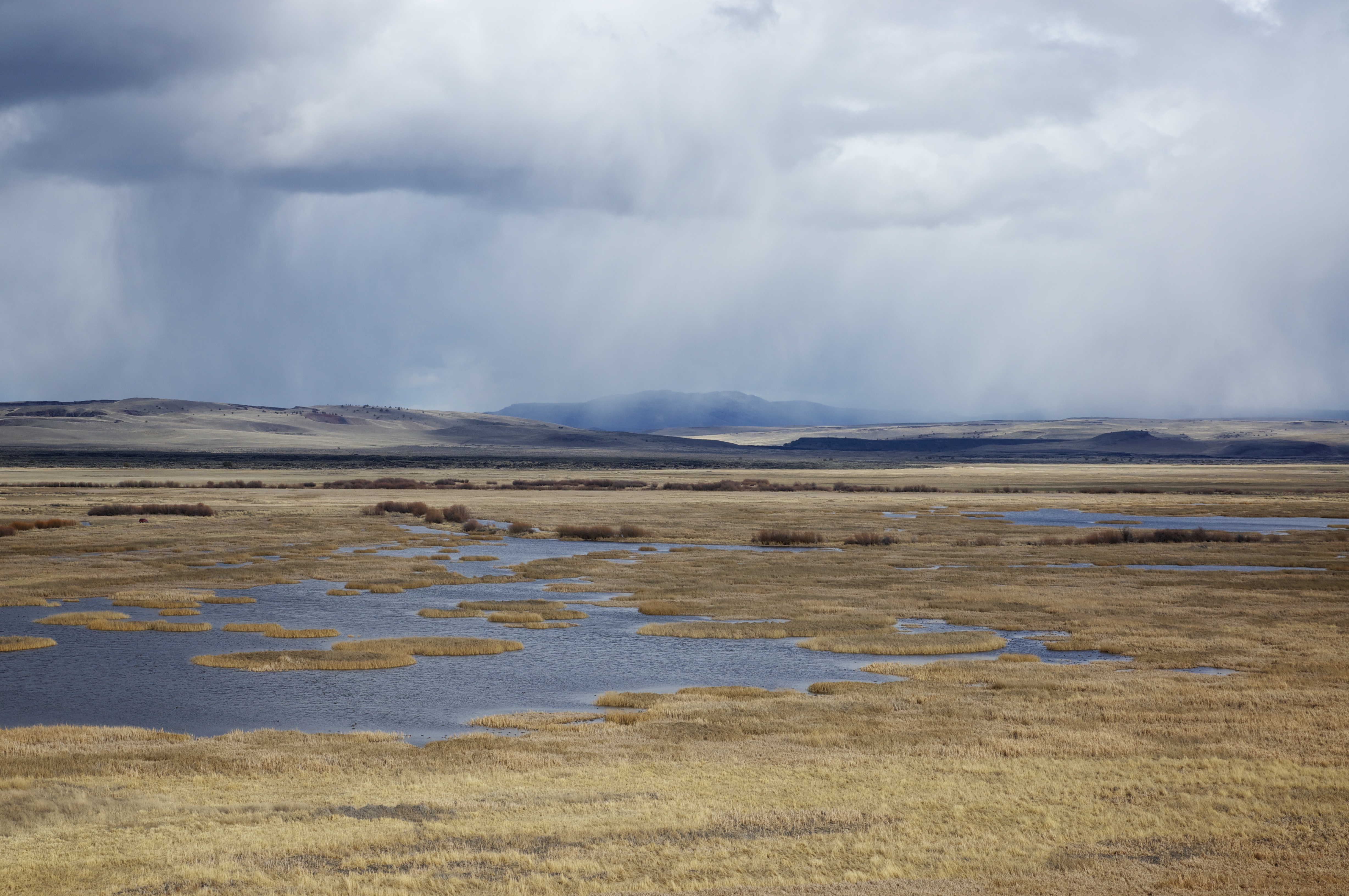
Mud lake curve
Buena Vista Lookout
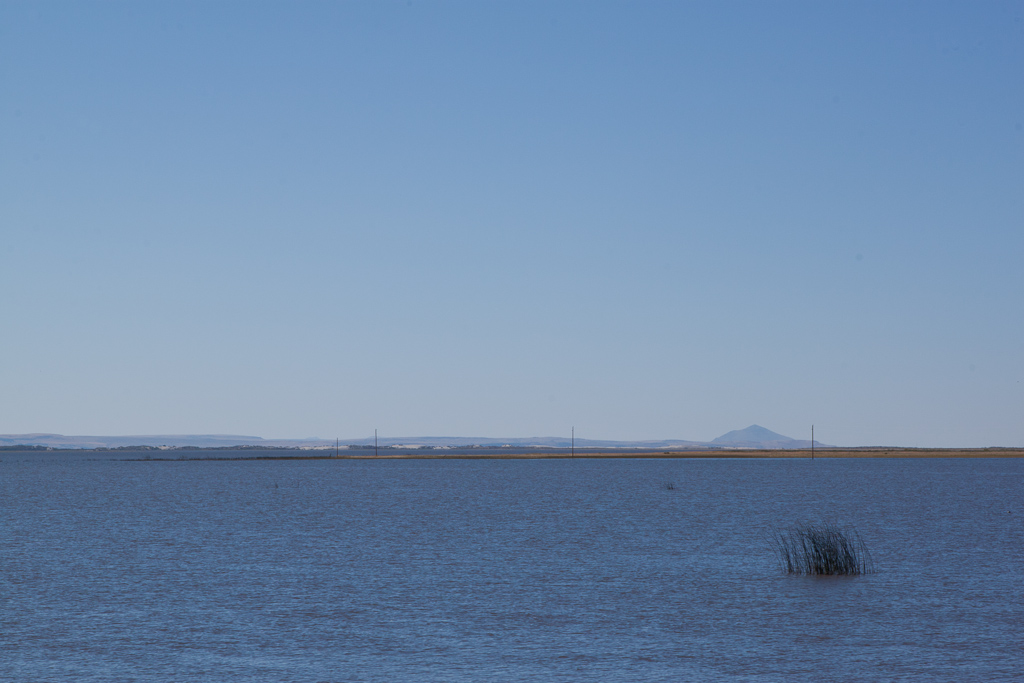
Malheur Lake

Malheur NWR
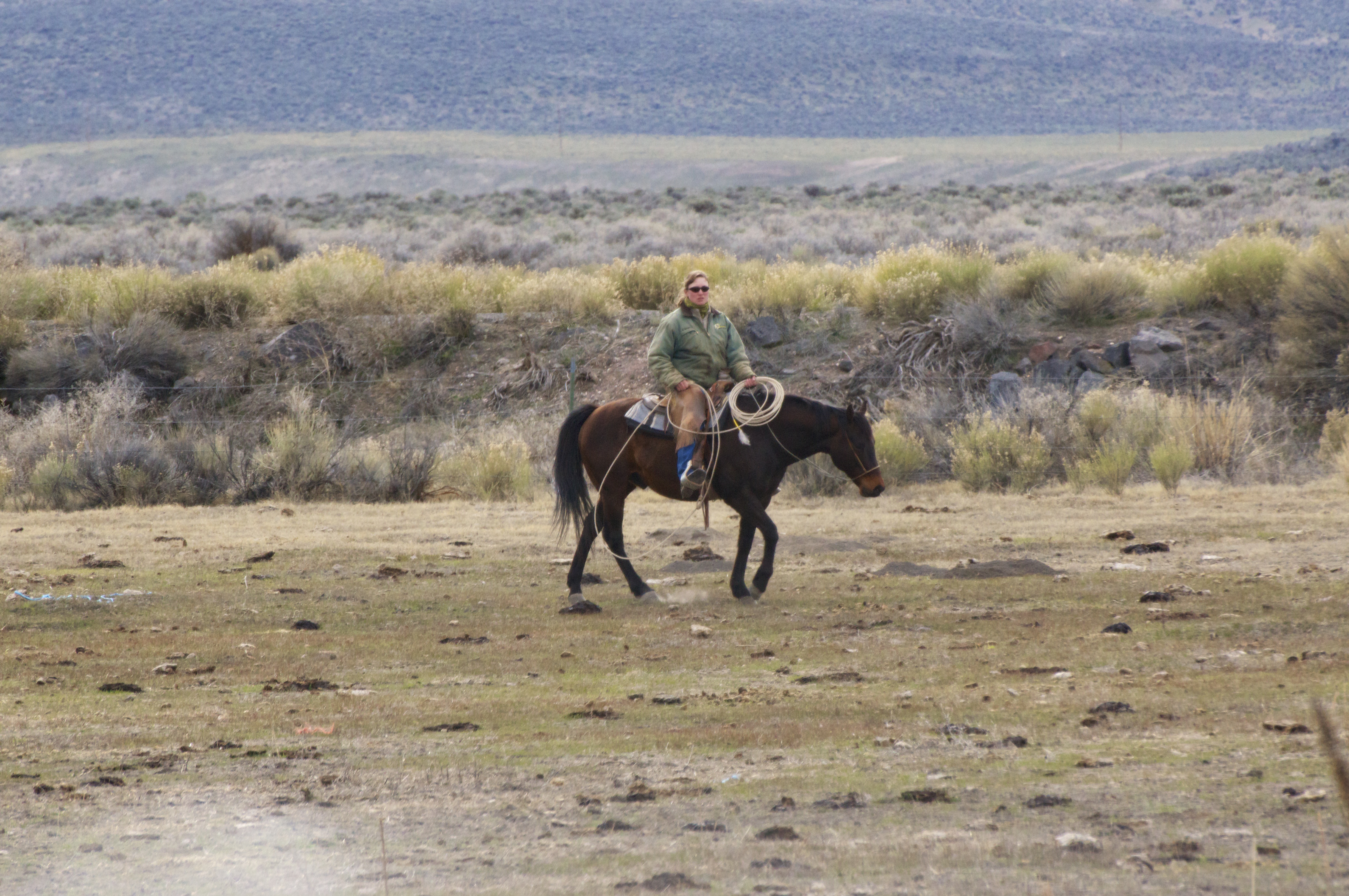
SE Oregon March 2014
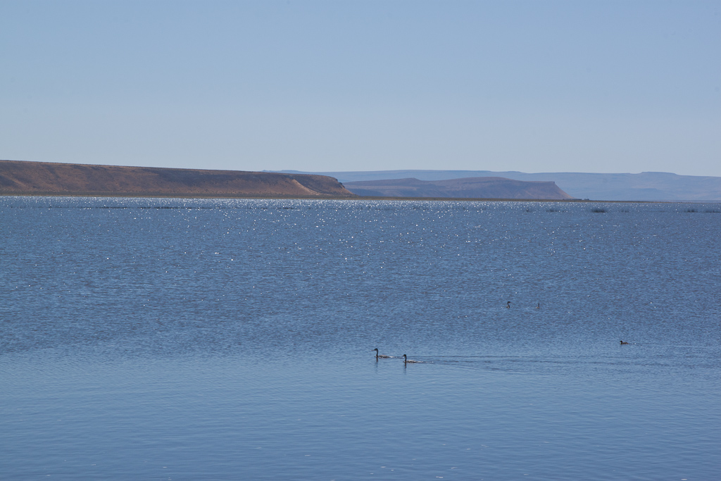
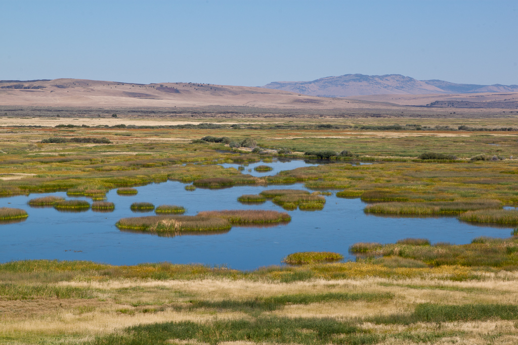
Malheur Lake
Topographic Map of Harney County, OR, USA
Find elevation by address:

Places in Harney County, OR, USA:
Places near Harney County, OR, USA:
South Harney Road
Malheur Lake
Frenchglen
Hotel Diamond
Diamond
US-, Hines, OR, USA
Hines
Harney County Fair Office
Burns, Or
24 E Monroe St, Burns, OR, USA
Burns
Crystal Crane Hot Springs
Quincy Road
Riley
Fields
Fields-Denio Rd, Fields, OR, USA
Recent Searches:
- Elevation of Corso Fratelli Cairoli, 35, Macerata MC, Italy
- Elevation of Tallevast Rd, Sarasota, FL, USA
- Elevation of 4th St E, Sonoma, CA, USA
- Elevation of Black Hollow Rd, Pennsdale, PA, USA
- Elevation of Oakland Ave, Williamsport, PA, USA
- Elevation of Pedrógão Grande, Portugal
- Elevation of Klee Dr, Martinsburg, WV, USA
- Elevation of Via Roma, Pieranica CR, Italy
- Elevation of Tavkvetili Mountain, Georgia
- Elevation of Hartfords Bluff Cir, Mt Pleasant, SC, USA