Elevation of 24 E Monroe St, Burns, OR, USA
Location: United States > Oregon > Harney County > Burns >
Longitude: -119.05399
Latitude: 43.5861539
Elevation: 1266m / 4154feet
Barometric Pressure: 87KPa
Elevation Map:
Satellite Map:
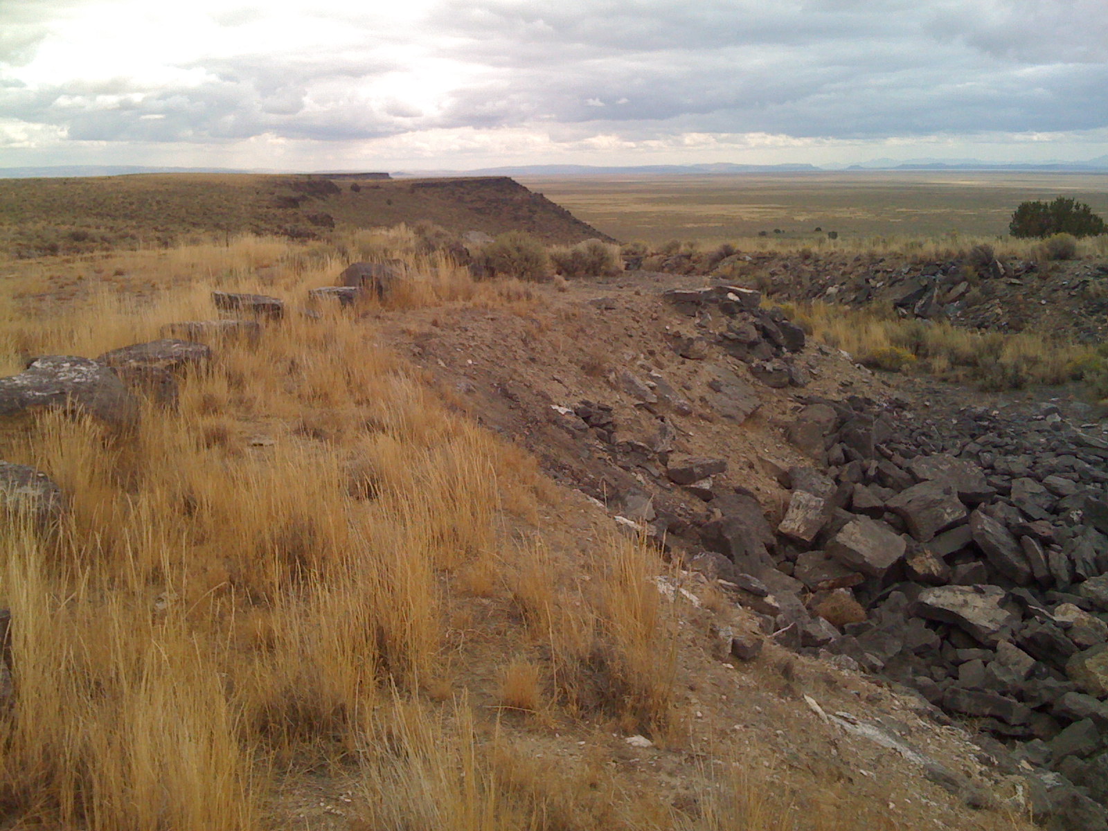
Related Photos:

delicate rain walk
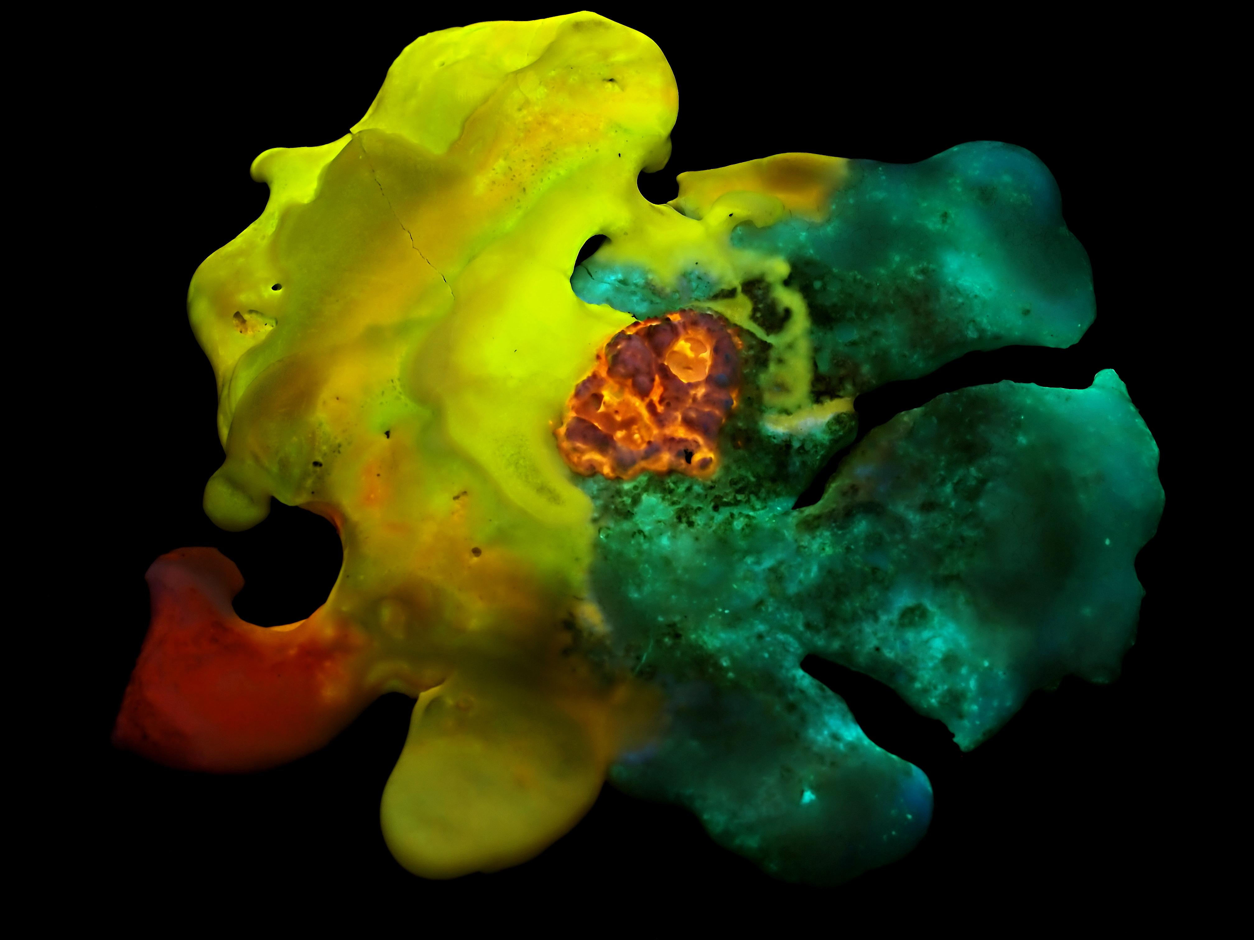
Synthetic Fluorescent Mineral Art: "Harlequin" - UVabc

sweet plains music

tough guy
View looking southwest
Fortress... 20111016_1912

View from my office tonight #Countryfied15 #hcf15

View from my office setting up with #Countryfied15 at the #hcf15 . Show starts at 6..... Stop by and say Hi!

Burns Oregon

05192013 009 Camassia quamash in the fields around Burns

05192013 008 Camassia quamash
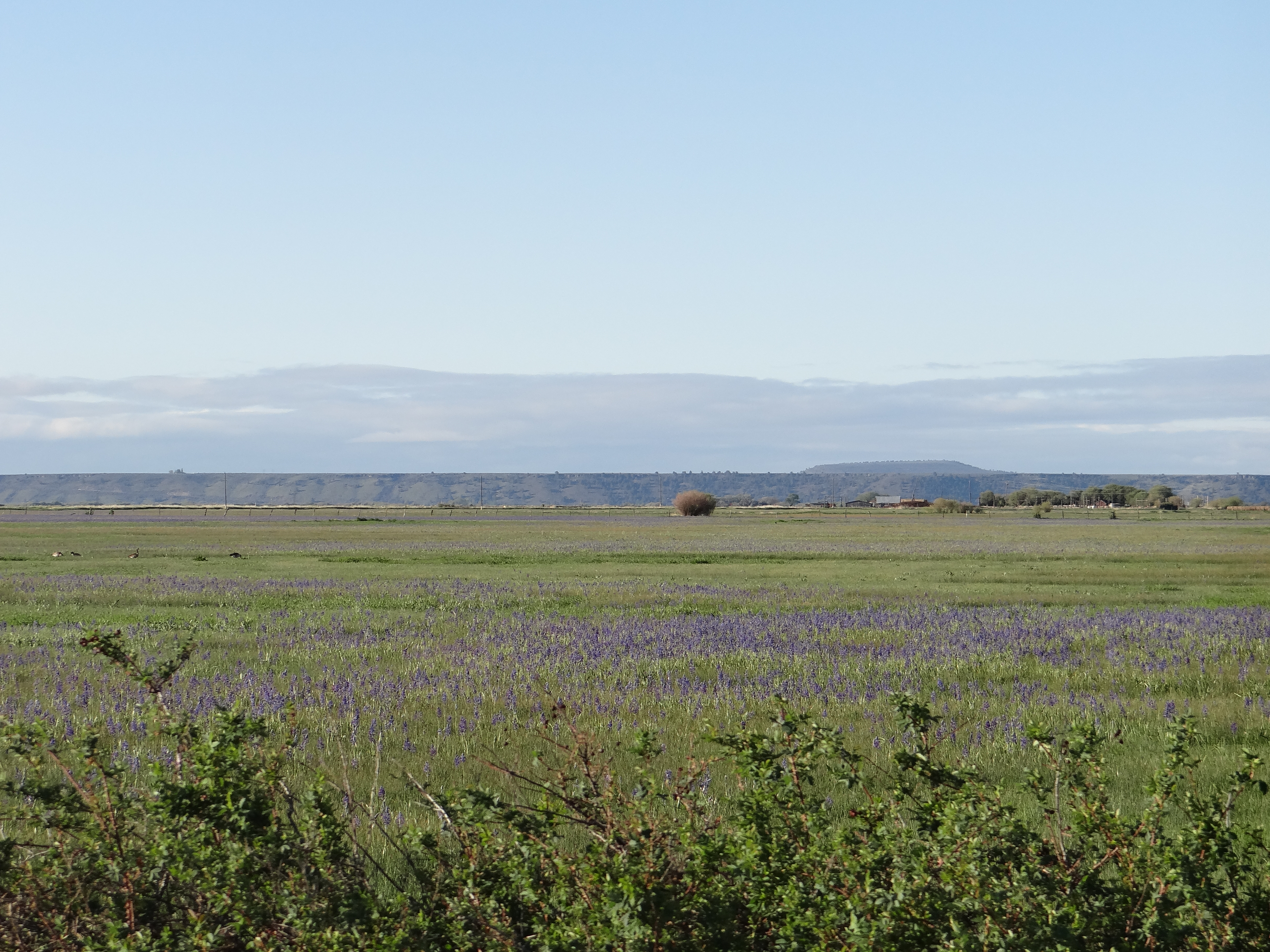
05192013 005 Camas blooming
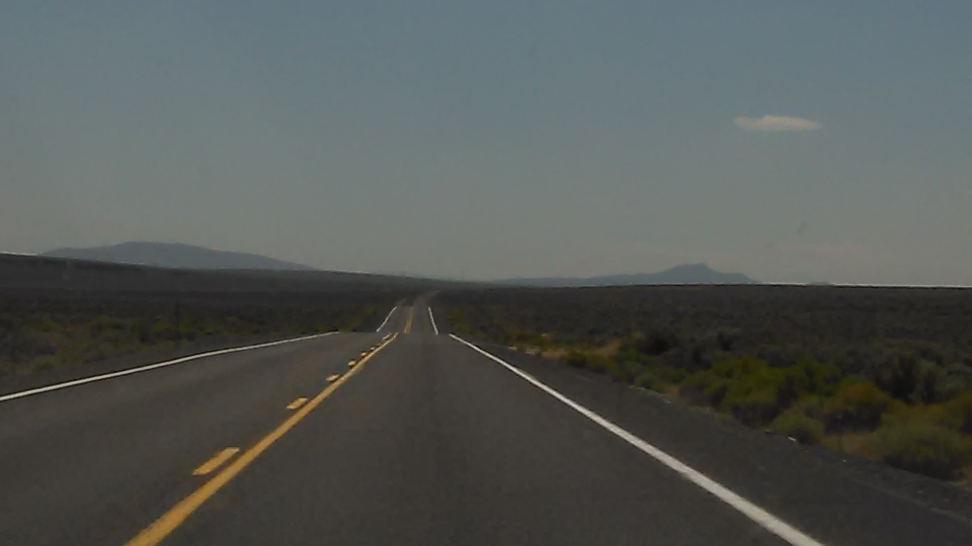
Driving to Lakeview OR

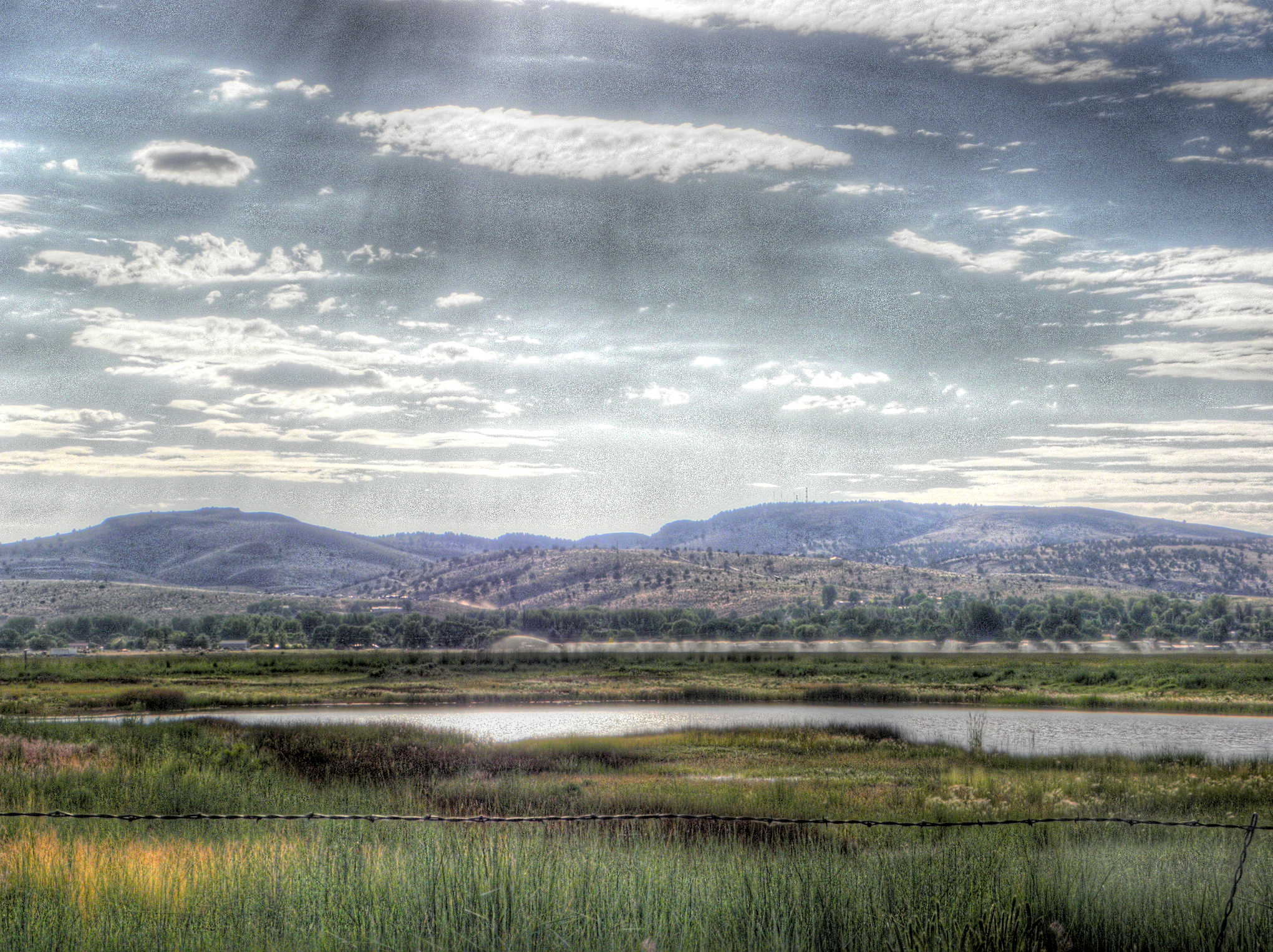
Sunset (HDR) (Panorama)

I like when the sky is similar to Mount Vesuvius erupting.
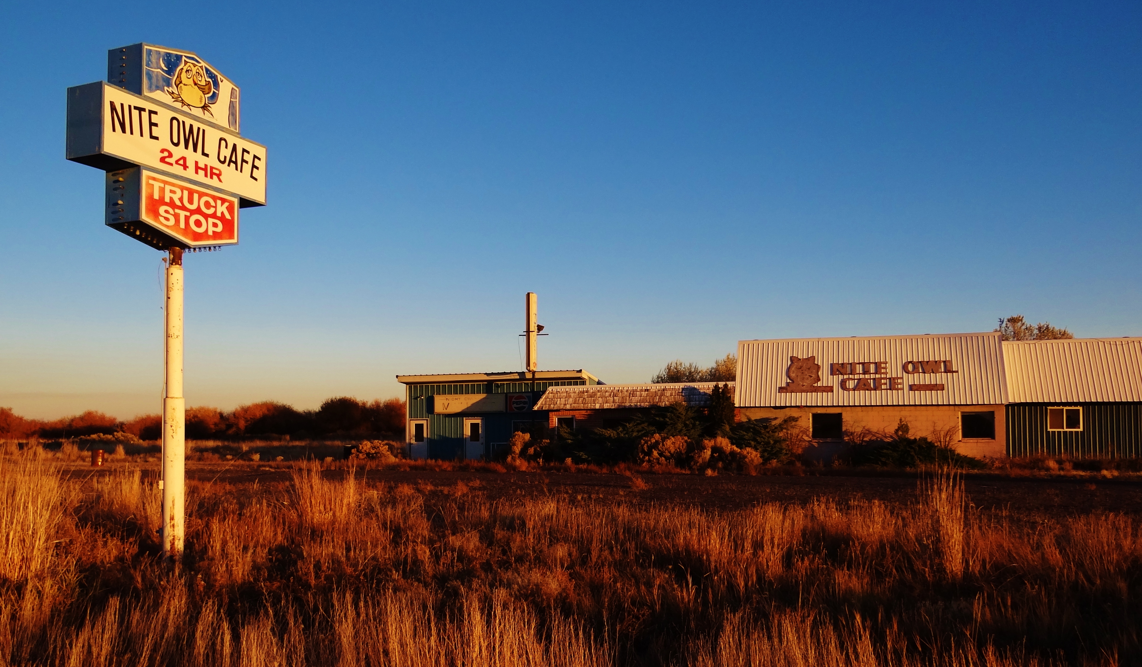
Ghost Truckstop

Rainbow Sunset 1 (HDR)

Grassy Field
Ghost Lake

Sunset Rainbow 2 (HDR)

The Outhouse
DSC_0044-a8
Geo 534 Field Trip 9-21-08 104

Geography Field Trip 2008 - 050
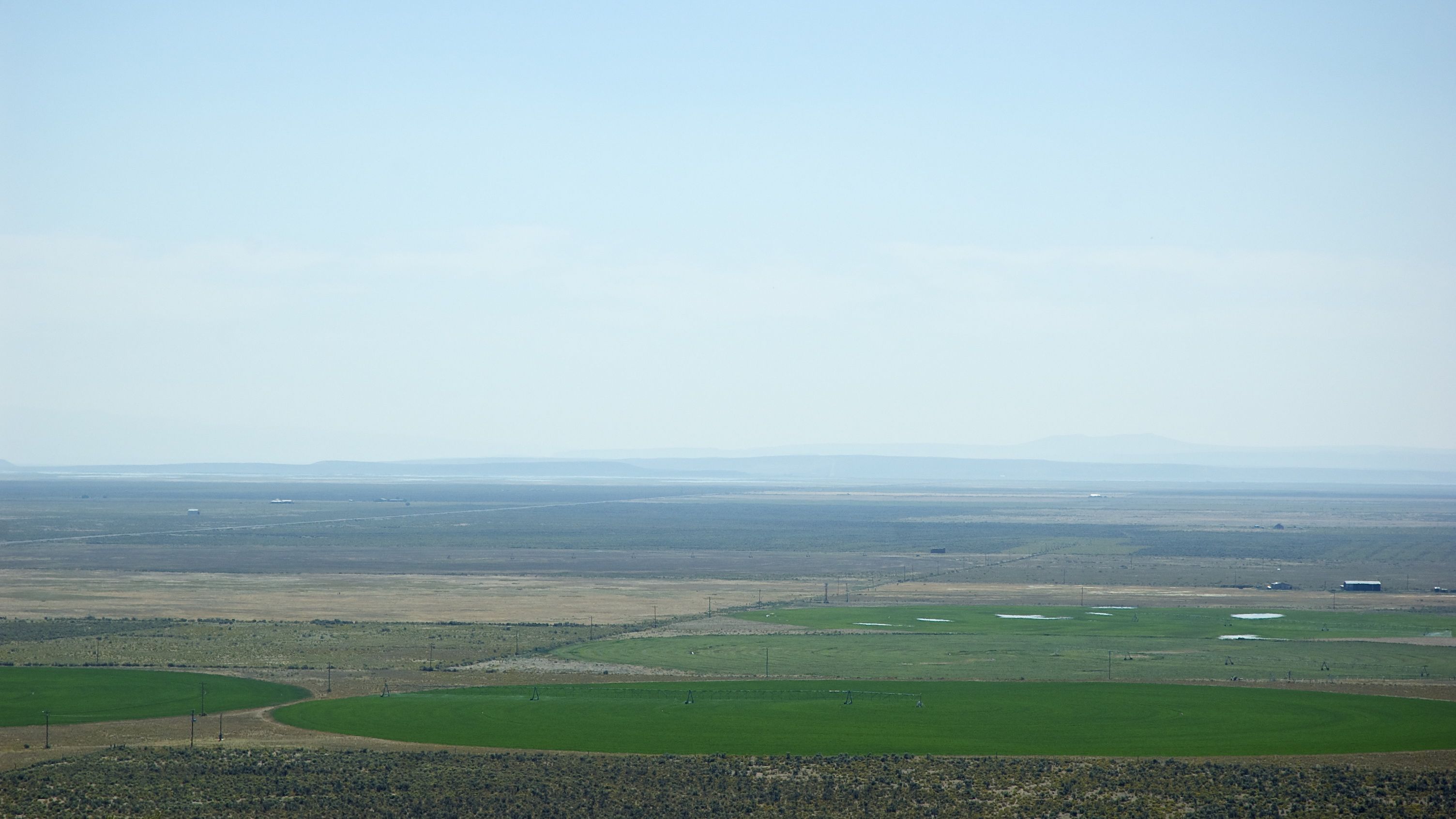
SE Oregon March 2014
2009_07_16-16_56_38-IMG_0921
Topographic Map of 24 E Monroe St, Burns, OR, USA
Find elevation by address:

Places near 24 E Monroe St, Burns, OR, USA:
Burns
Harney County Fair Office
Burns, Or
Hines
US-, Hines, OR, USA
Malheur Lake
South Harney Road
Quincy Road
Crystal Crane Hot Springs
Harney County
Riley
Hotel Diamond
Diamond
Frenchglen
Fields
Fields-Denio Rd, Fields, OR, USA
Recent Searches:
- Elevation of Corso Fratelli Cairoli, 35, Macerata MC, Italy
- Elevation of Tallevast Rd, Sarasota, FL, USA
- Elevation of 4th St E, Sonoma, CA, USA
- Elevation of Black Hollow Rd, Pennsdale, PA, USA
- Elevation of Oakland Ave, Williamsport, PA, USA
- Elevation of Pedrógão Grande, Portugal
- Elevation of Klee Dr, Martinsburg, WV, USA
- Elevation of Via Roma, Pieranica CR, Italy
- Elevation of Tavkvetili Mountain, Georgia
- Elevation of Hartfords Bluff Cir, Mt Pleasant, SC, USA