Elevation of Greenville, WV, USA
Location: United States > West Virginia > Monroe County > Central >
Longitude: -80.681894
Latitude: 37.5442464
Elevation: 518m / 1699feet
Barometric Pressure: 95KPa
Elevation Map:
Satellite Map:
Related Photos:
West Virginia, Mountain Momma

Cook's Mill - West Virginia
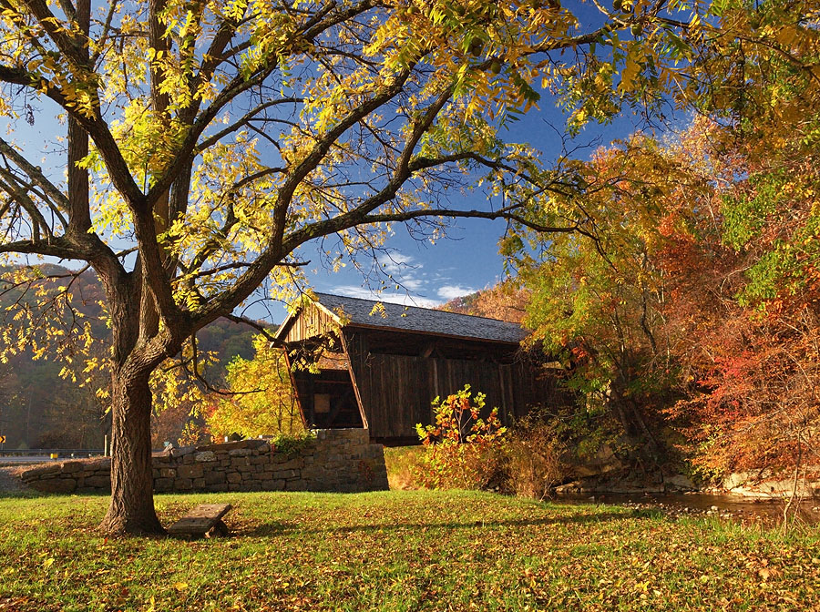
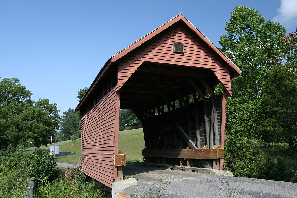
Indian Creek Covered Bridge
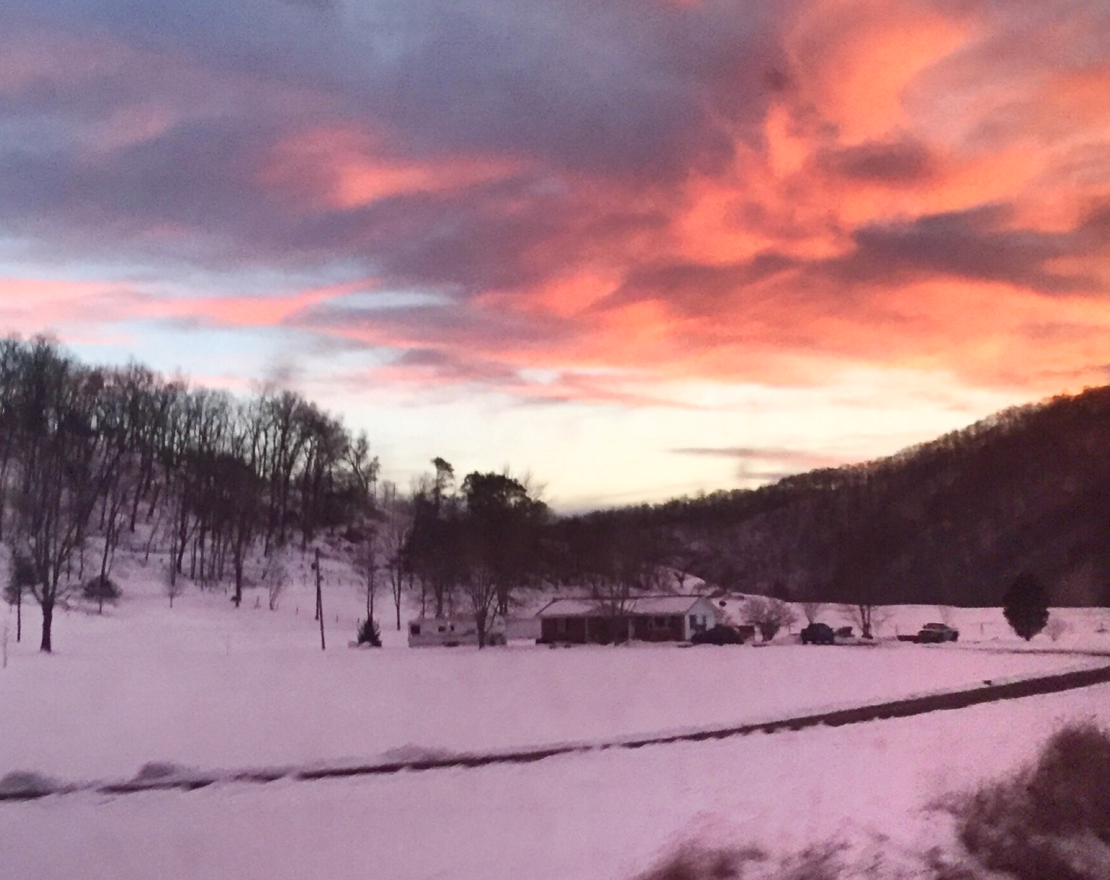
Winter's Afterglow in the Greenbrier Valley
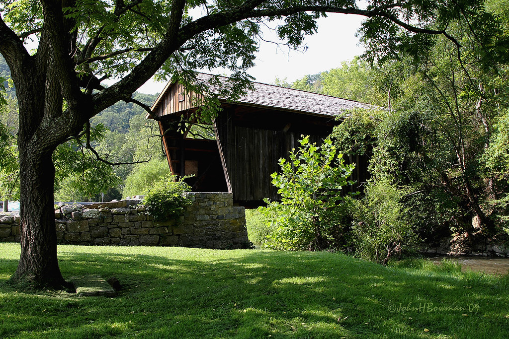
Indian Creek Bridge 2 - West Virginia
Laurel Creek Bridge - West Virginia

John Henry statue, 1999
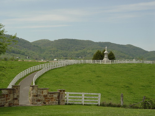
View from Confederate Monument, Monroe County, WV
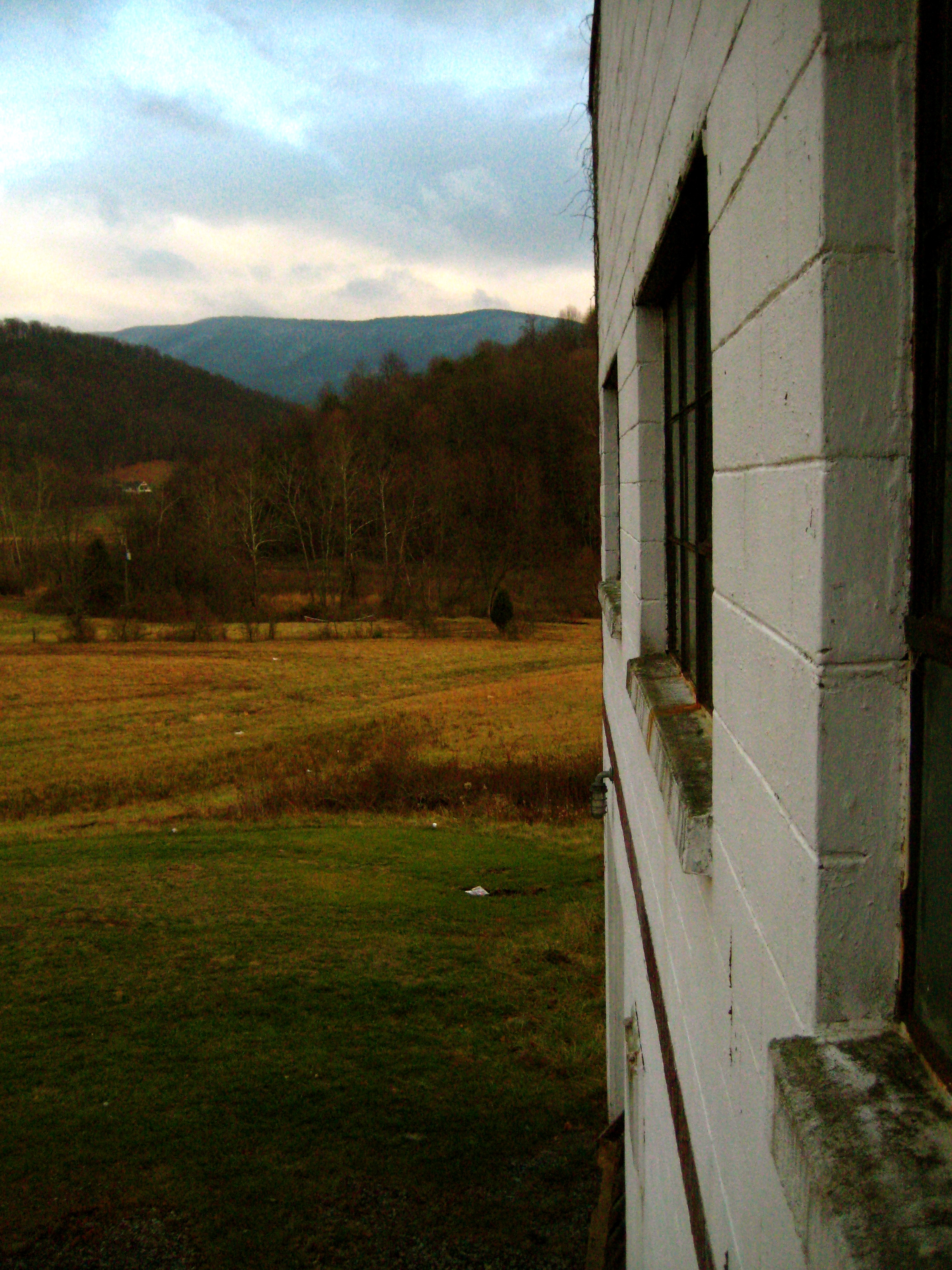
View from Gas Station Bathroom
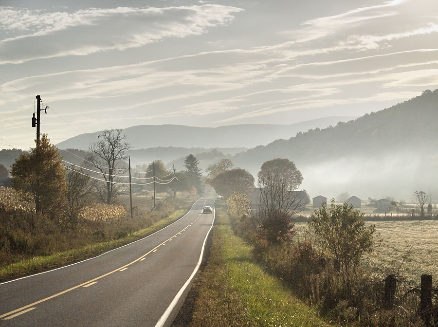
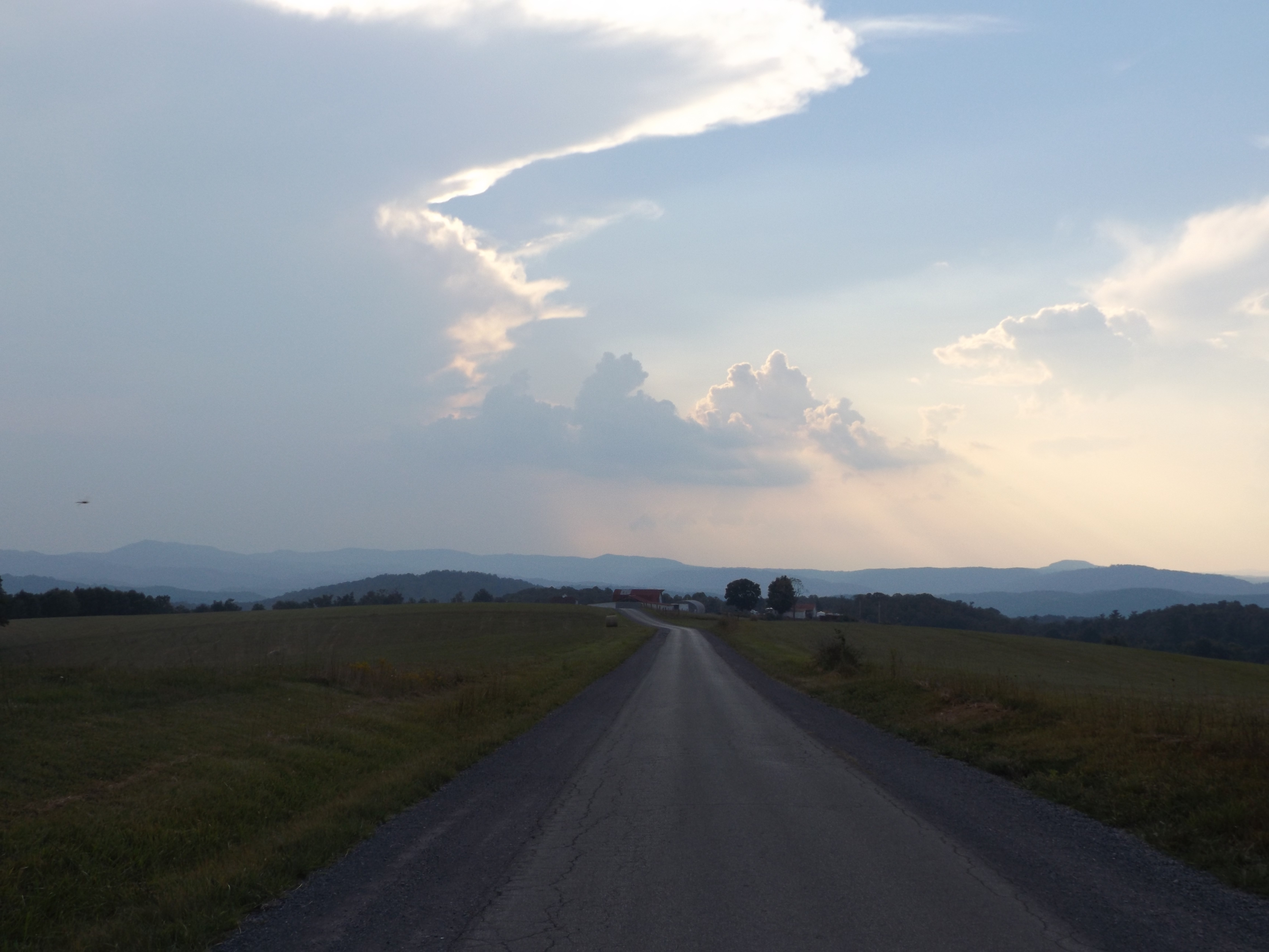
View Southeast from Greenville, WV
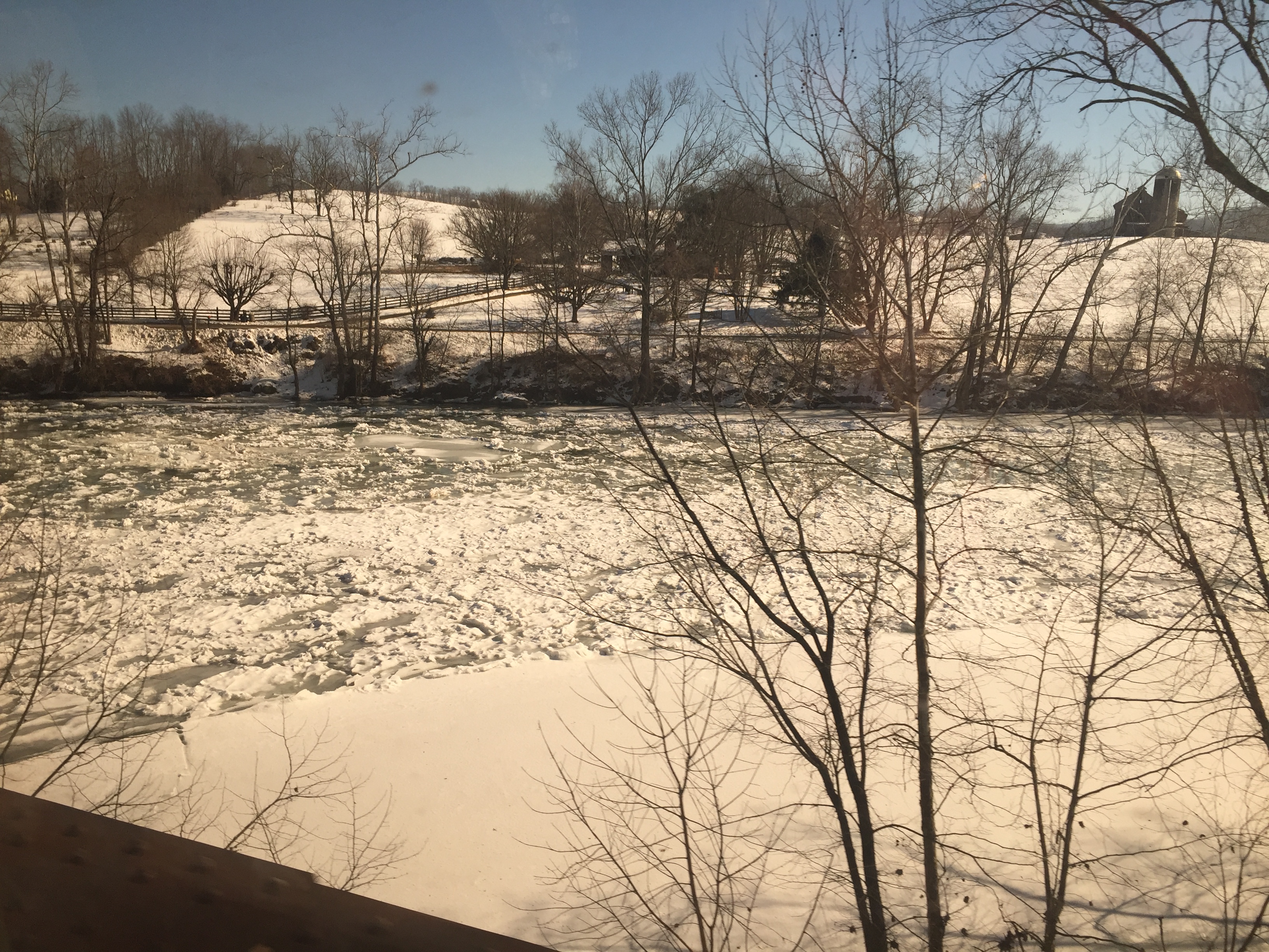
Crossing the Greenbrier River in the winter
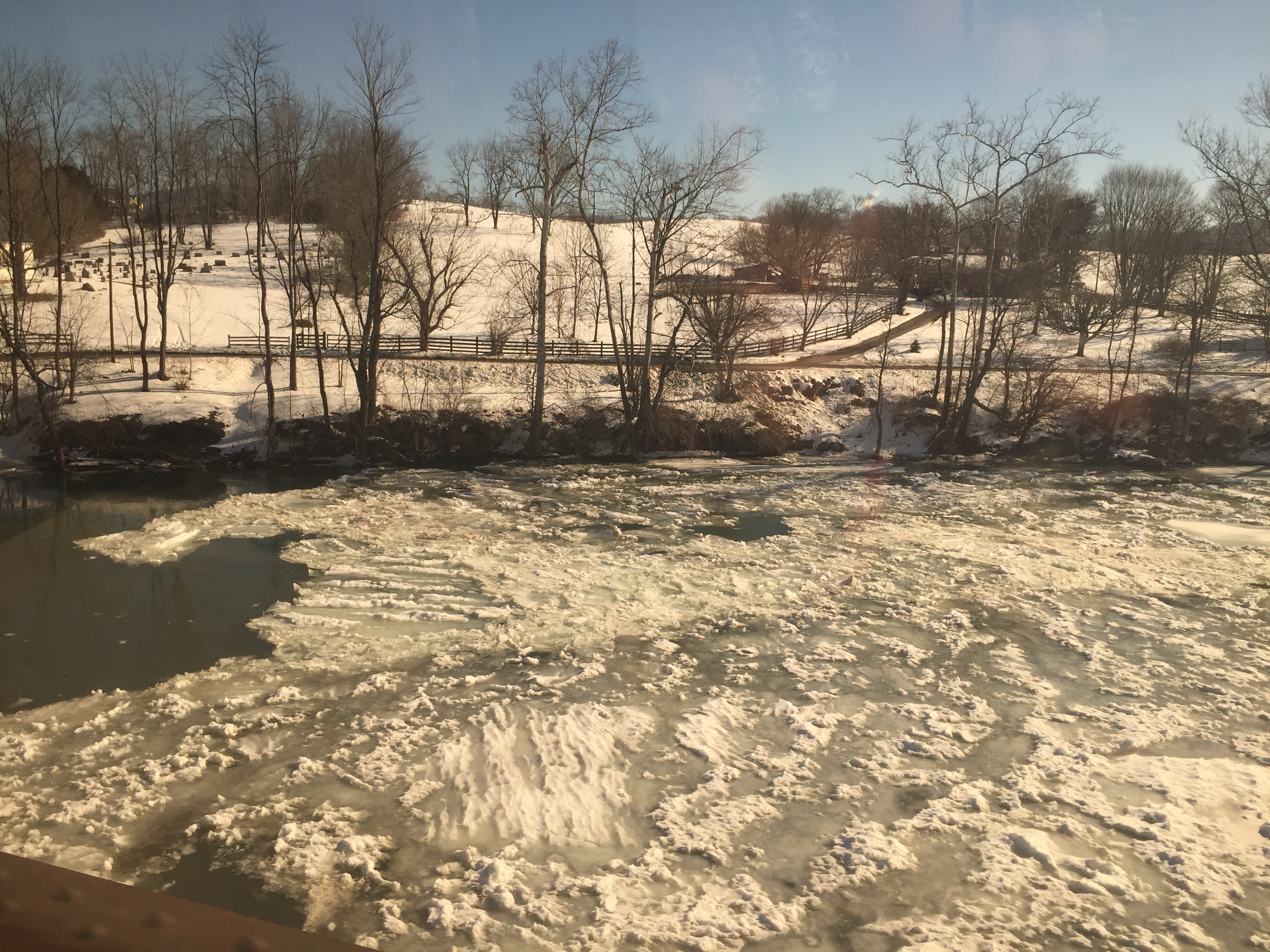
Crossing the Greenbrier River in the winter
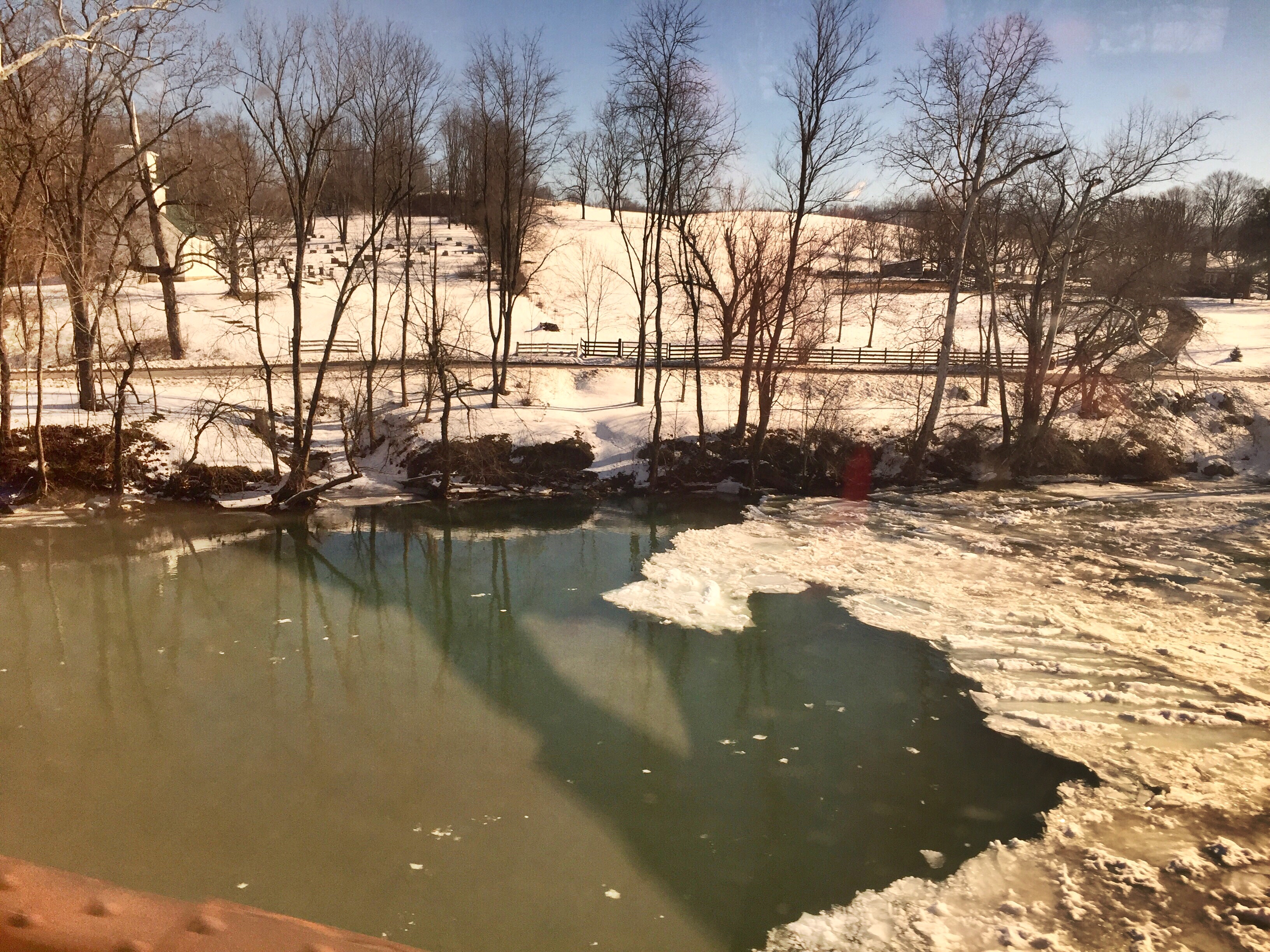
Crossing an ice-choked Greenbrier River.

West Virginia: Summers County
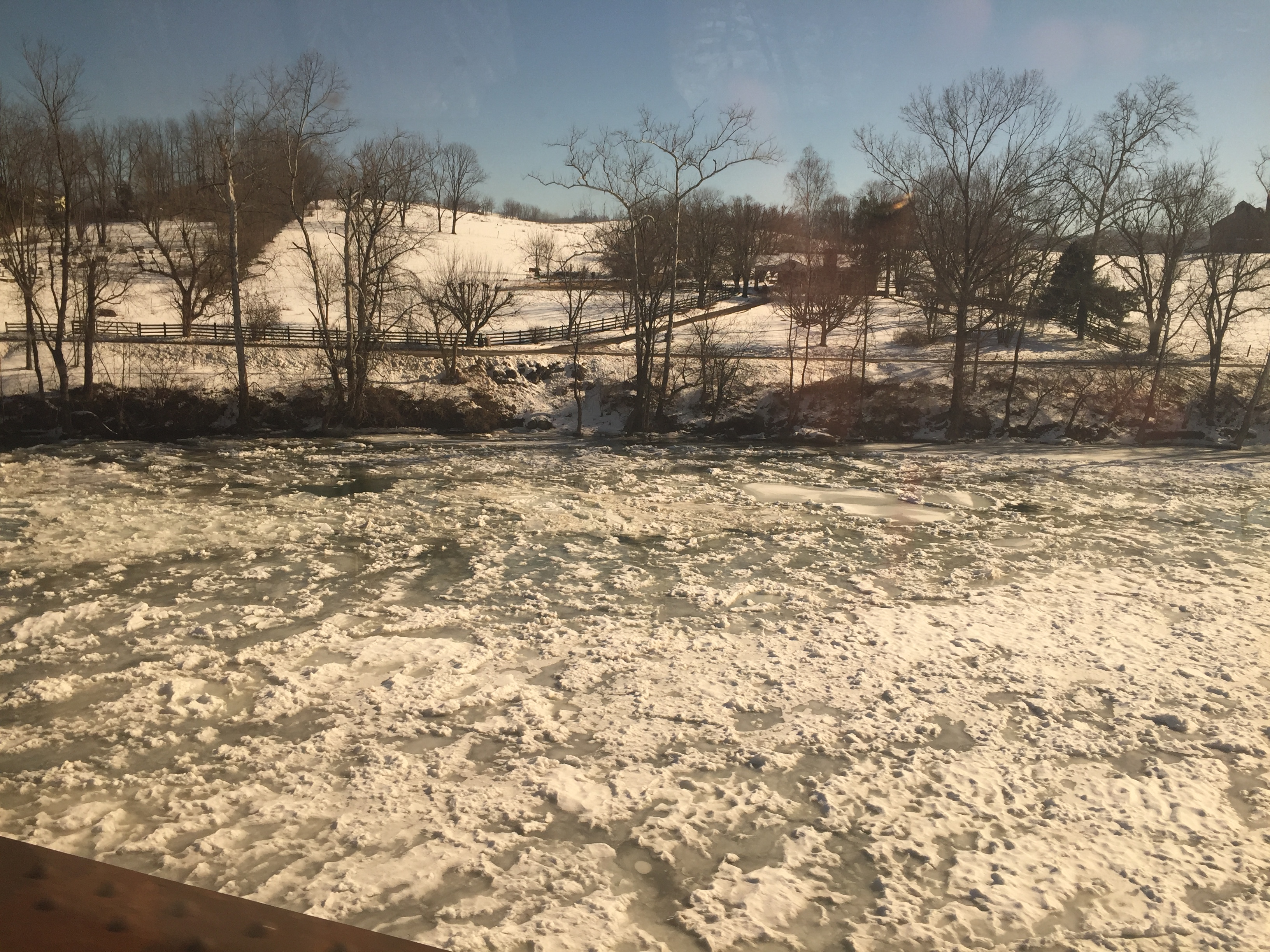
Crossing the Greenbrier River in the winter
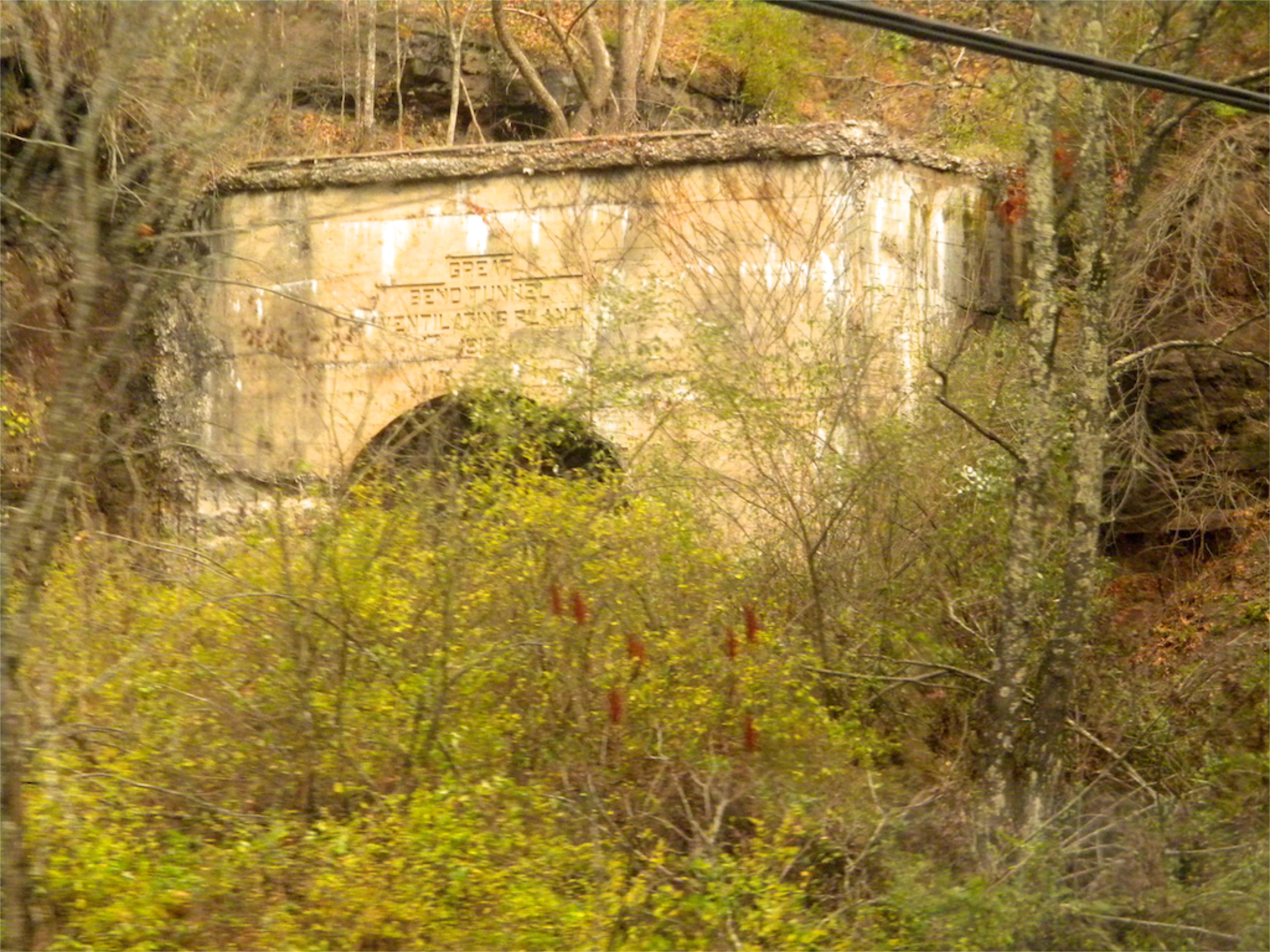
West Virginia: Summers: Great Bend Tunnel
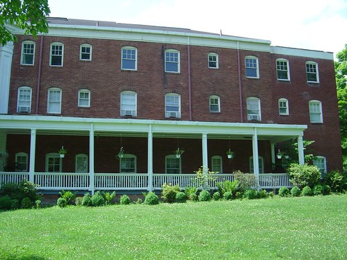
Pence Springs
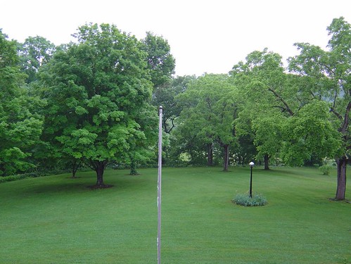
The Grounds
Lowell Pedestrian Bridge
There is strength in numbers #urbangangfamily #igshots #nature #bloom #flower #bush #natural #TAGSTAGRAM #igaddicts #igdaily #ic_landscapes #igshots
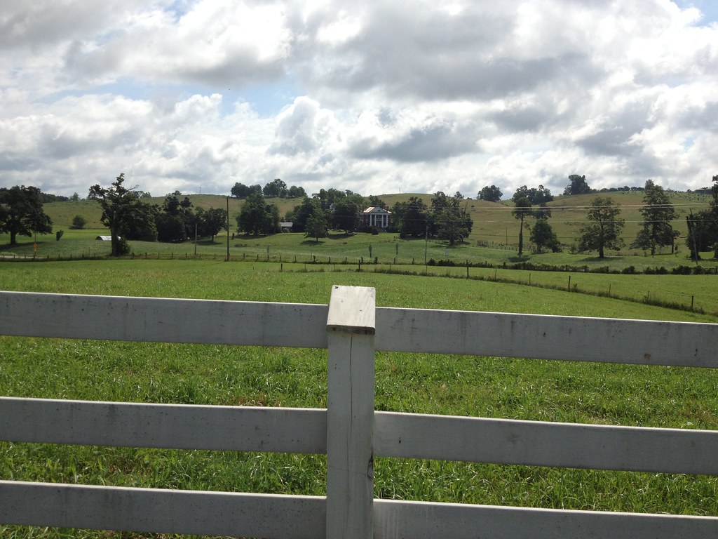
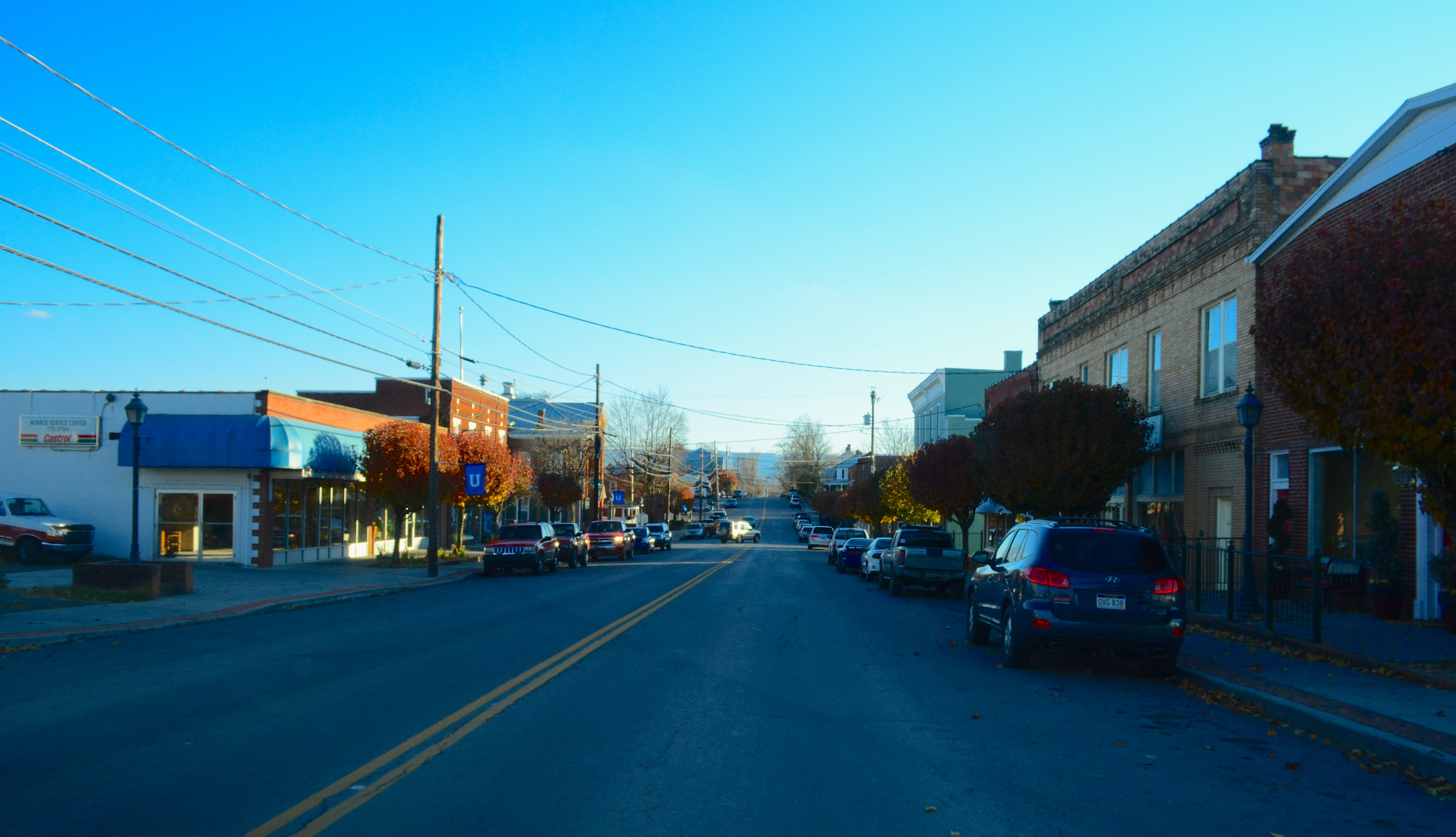
Monroe County
Confederate Monument, Union, Monrow County, WV
Virginia: Jefferson National Forest
2013.11.08.27 West Virginia
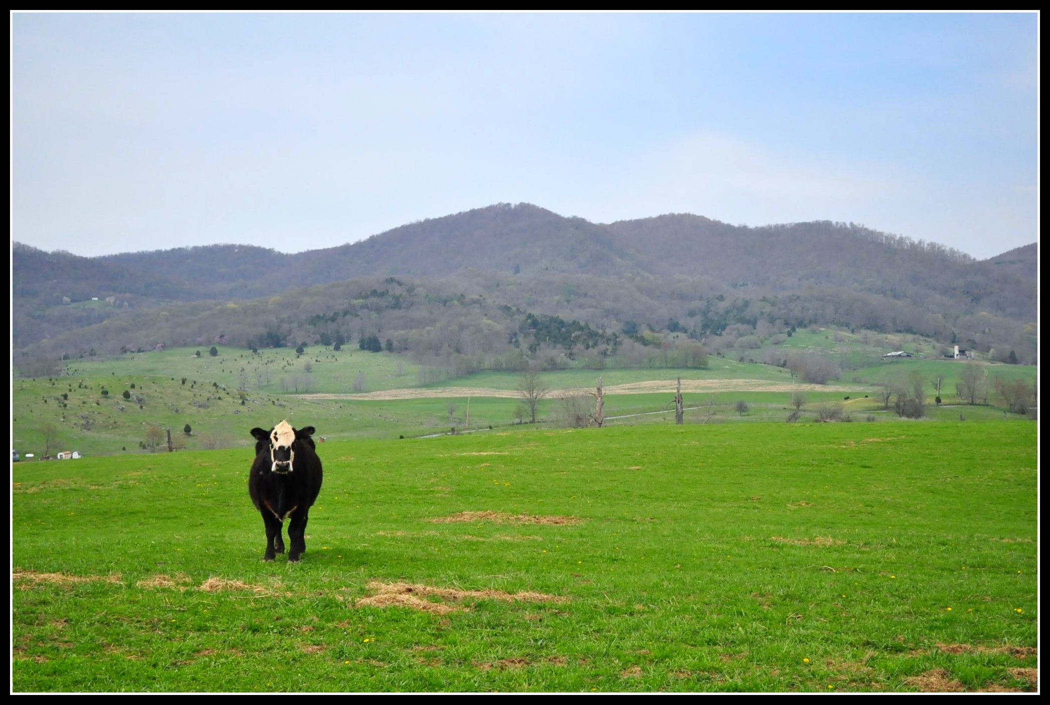
Moo cow
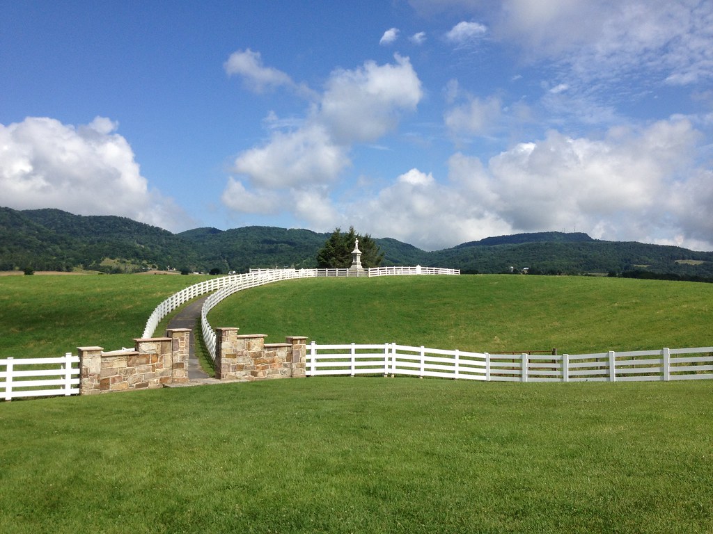
Confederate Monument, Union, Monroe County, WV
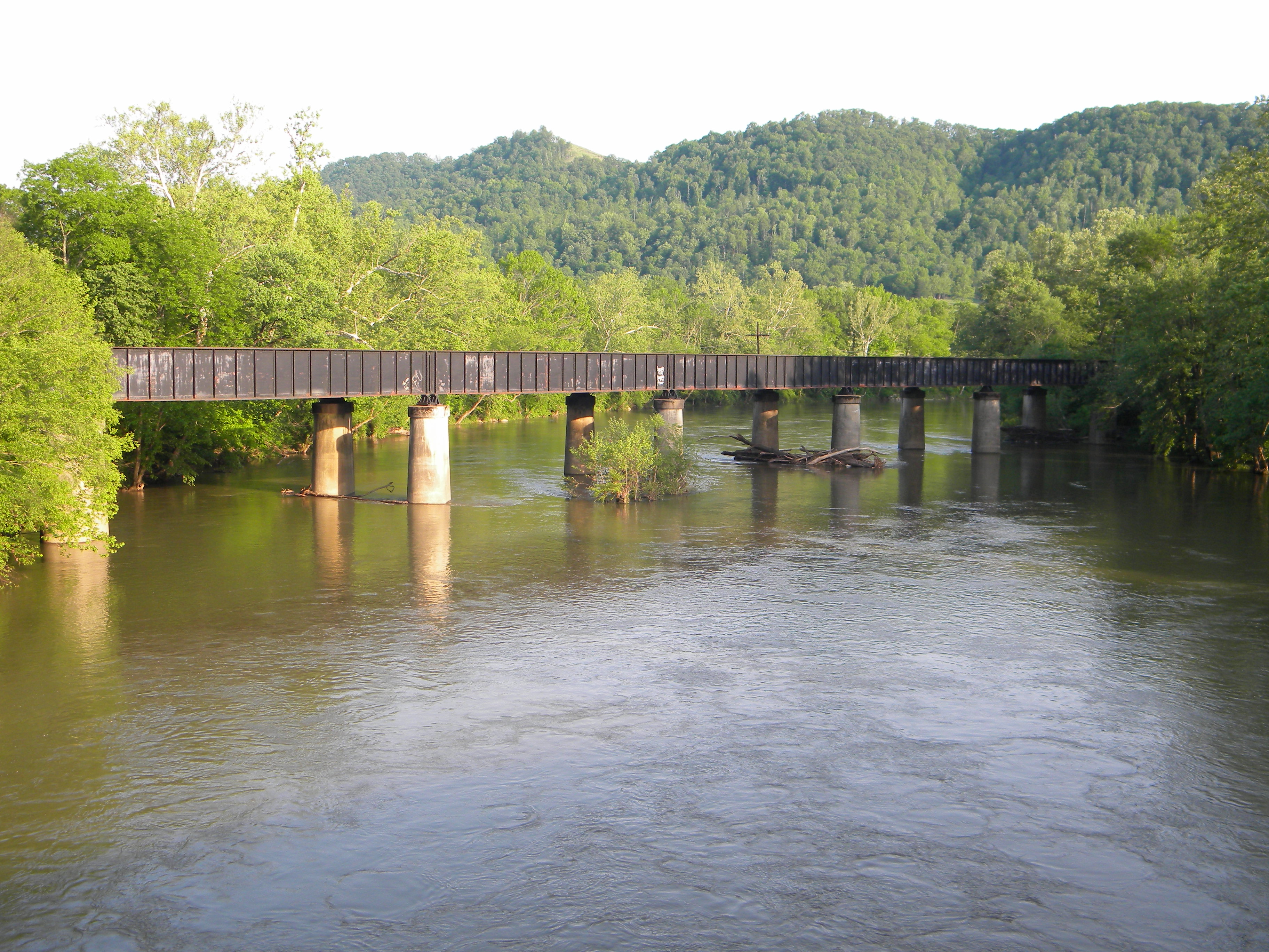
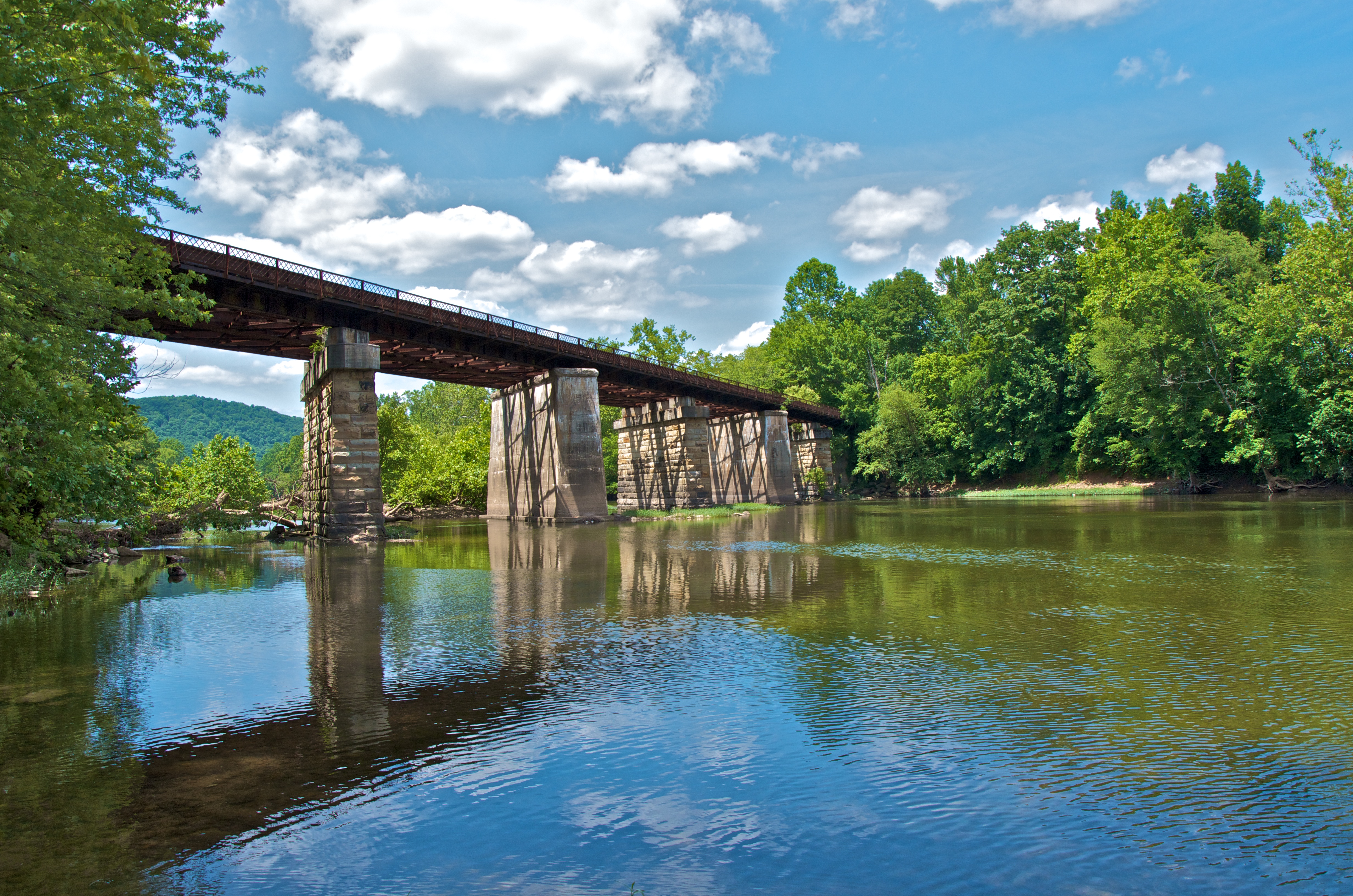
Lowell West Virginia: Summers County: Crossing the Greenbrier River
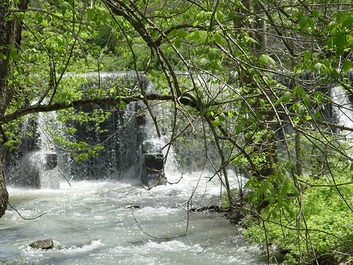
Cook's Mill Dam
Confeerate Memorial
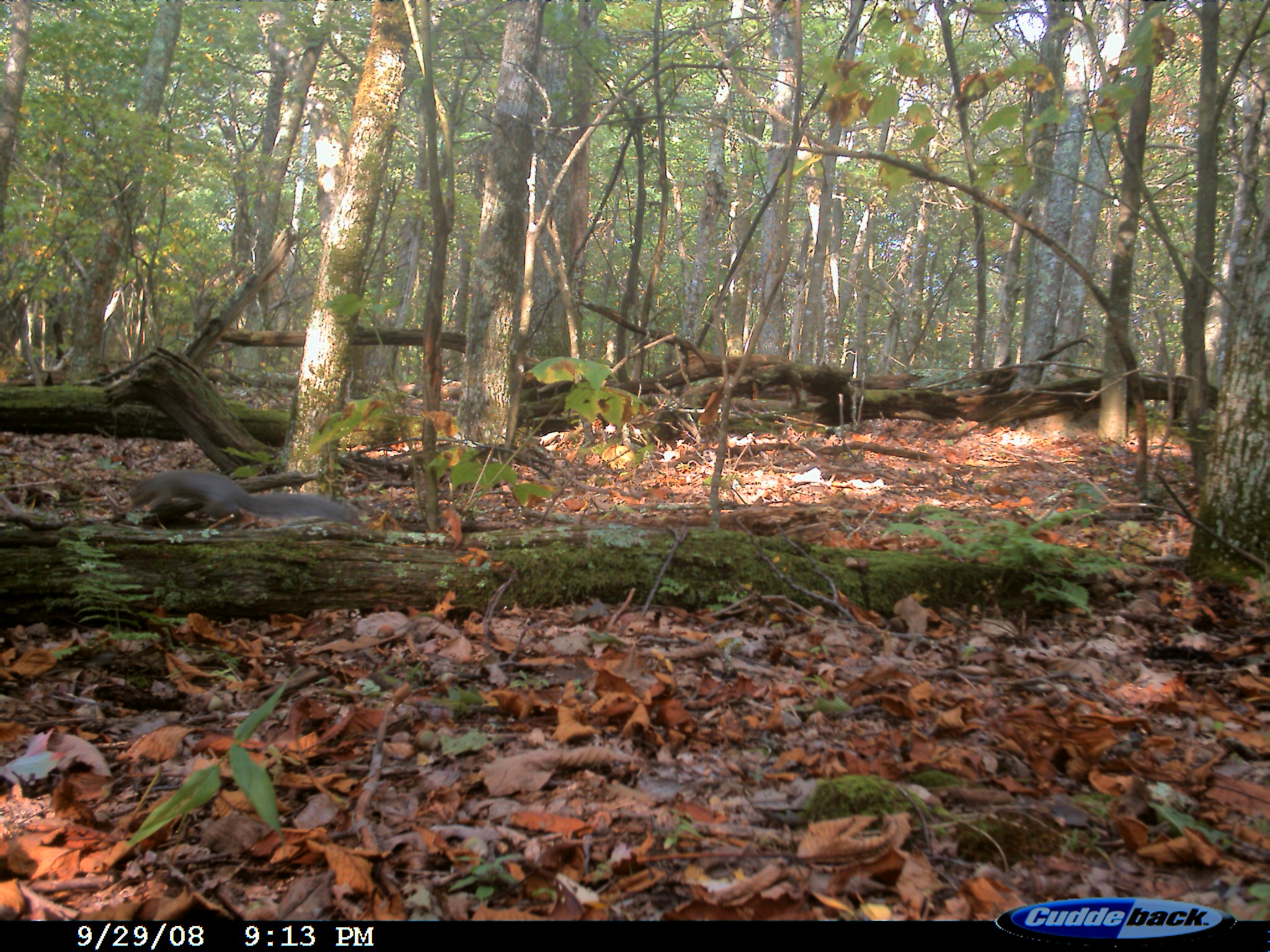
Eastern Gray Squirrel

Lowell, WV

Lowell, WV
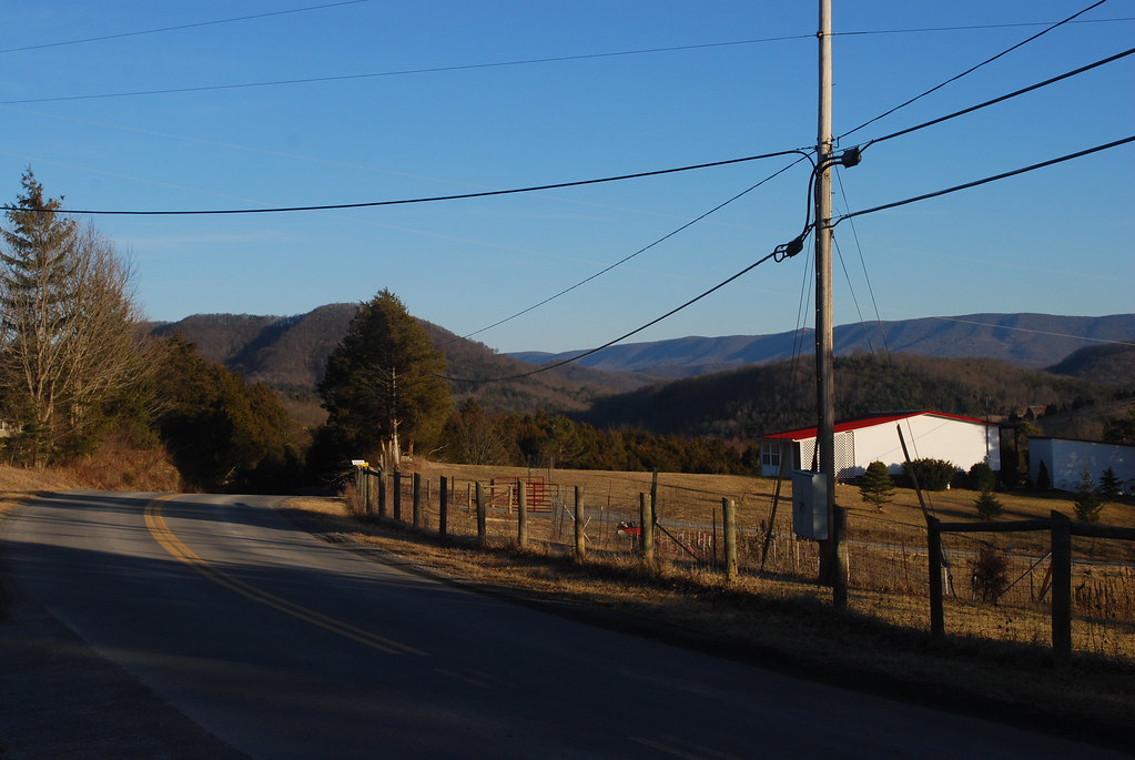
On the top of Bozoo Road.

By the light of the Harvest Moon

Talcott, West Virginia
drops-es
Topographic Map of Greenville, WV, USA
Find elevation by address:

Places in Greenville, WV, USA:
Lillydale-Back Creek Rd, Greenville, WV, USA
Hans Creek Road
Boyd Road
Greenville, WV, USA
Walnut Knob
Places near Greenville, WV, USA:
15 Laurel Creek Rd
Greenville, WV, USA
1595 Wayside Creamery Rd
7332 Greenville Rd
7420 Greenville Rd
Boyd Road
2133 Co Rd 7
Laurel Creek Road
2105 Hans Creek Rd
Hans Creek Road
Wayside
Knobs Rd, Union, WV, USA
866 Co Rd 19/3
Wayside Creamery Road
Walnut Knob
4339 Laurel Creek Rd
Seneca Trail S, Union, WV, USA
Lillydale-Back Creek Rd, Greenville, WV, USA
1056 Pine Grove Rd #27lindside
Red Sulphur Springs
Recent Searches:
- Elevation of Corso Fratelli Cairoli, 35, Macerata MC, Italy
- Elevation of Tallevast Rd, Sarasota, FL, USA
- Elevation of 4th St E, Sonoma, CA, USA
- Elevation of Black Hollow Rd, Pennsdale, PA, USA
- Elevation of Oakland Ave, Williamsport, PA, USA
- Elevation of Pedrógão Grande, Portugal
- Elevation of Klee Dr, Martinsburg, WV, USA
- Elevation of Via Roma, Pieranica CR, Italy
- Elevation of Tavkvetili Mountain, Georgia
- Elevation of Hartfords Bluff Cir, Mt Pleasant, SC, USA