Elevation of Wayside Creamery Road, Wayside Creamery Rd, West Virginia, USA
Location: United States > West Virginia > Pence Springs >
Longitude: -80.6813262
Latitude: 37.60366
Elevation: 636m / 2087feet
Barometric Pressure: 0KPa
Related Photos:

Quilt Pattern Barn - No Fishing

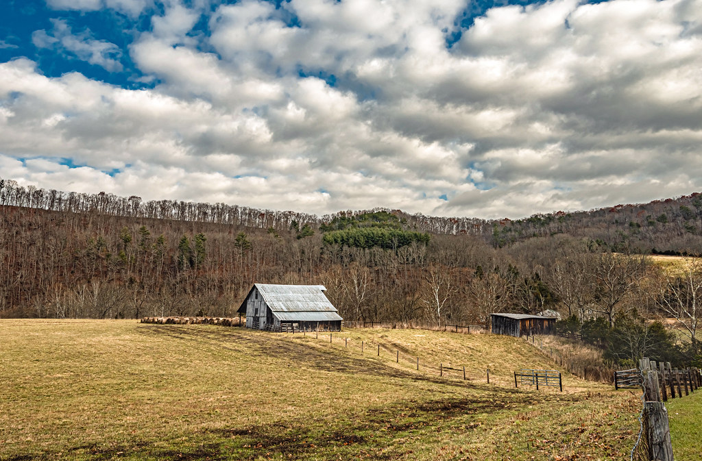
Cooks Run Barn_Wide

Cooks Mill Wheel

John Henry Statue_Fisheye View

Quilt Pattern Barn with Clouds_BW
Indian Creek Barn
River View Church

Rock Camp General Store

Beyond the Sunset

View from Alderson (WV) Cemetery

Cook's Mill - West Virginia

Indian Creek Covered Bridge

View from Alderson (WV) Cemetery

Alderson station

Pence Springs

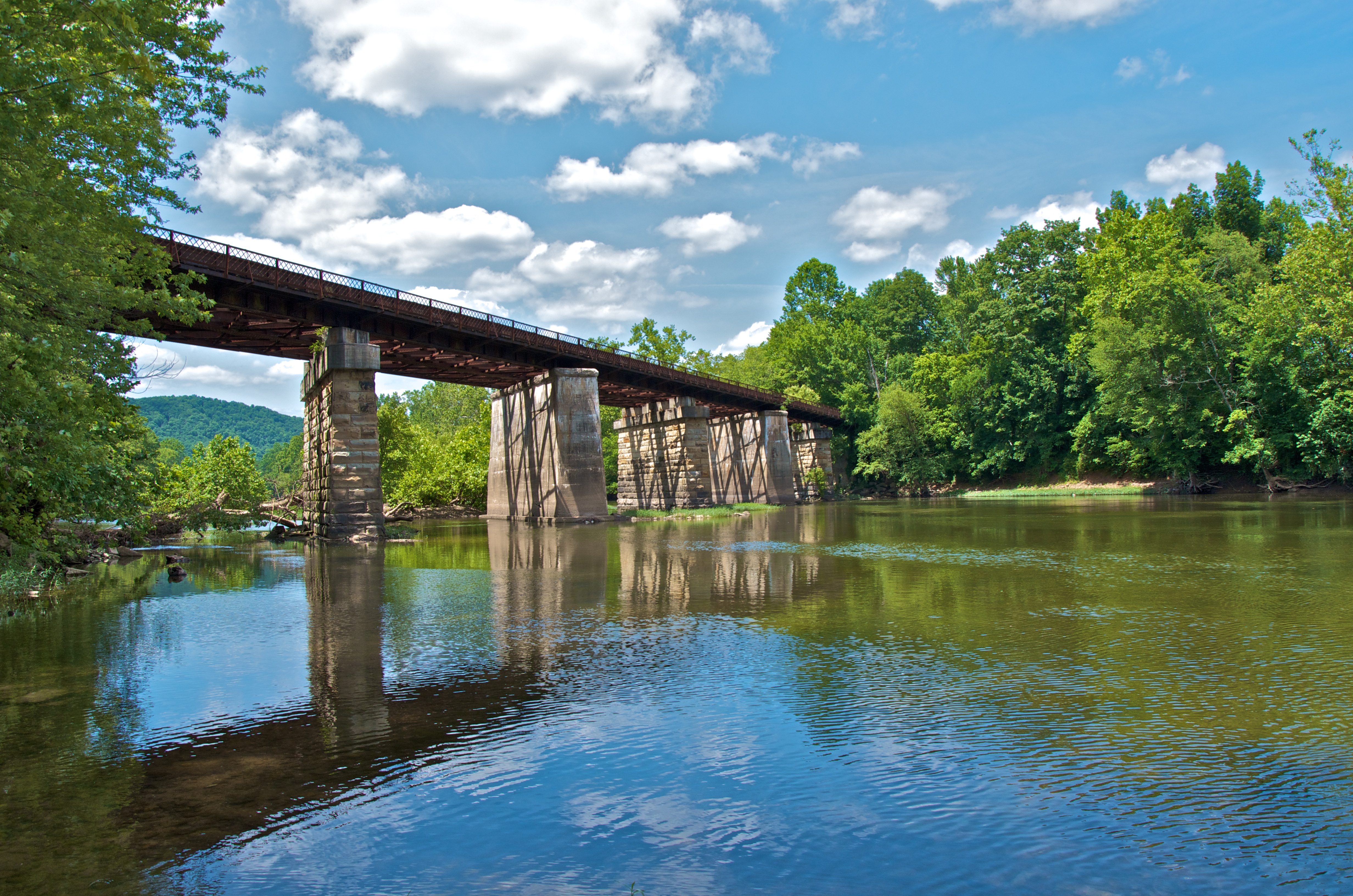
Indian Creek Bridge 2 - West Virginia

Laurel Creek Bridge - West Virginia

The Grounds

View from Alderson Cemetery (WV)
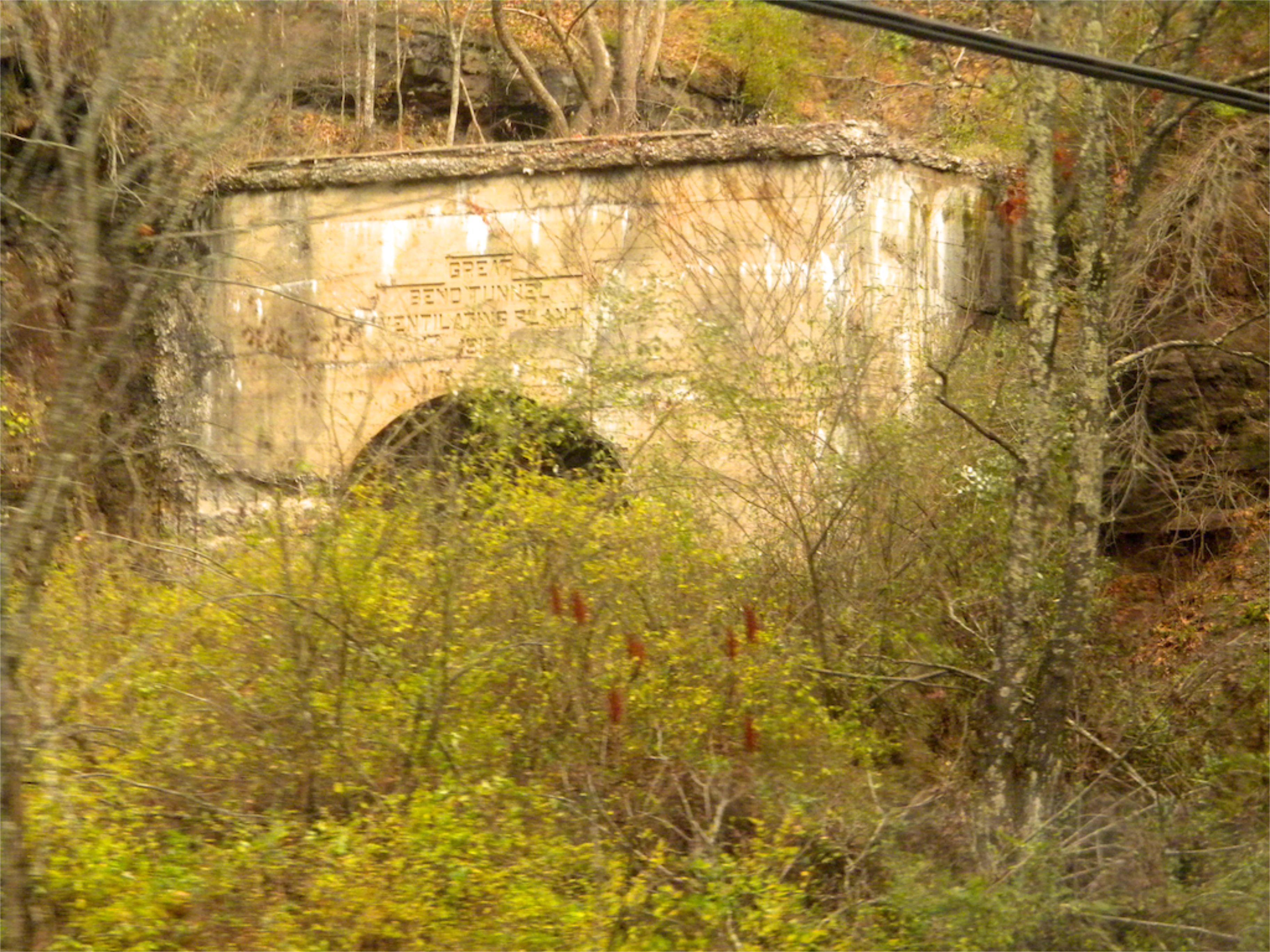
West Virginia: Summers: Great Bend Tunnel

Crossing the Greenbrier River in the winter

Mill and Daffodil

Little Wolf Creek Falls

Mill, Irises and Clouds

Mennonite Country_BW

Quilt Barn_BW

Greenville Farm_BW

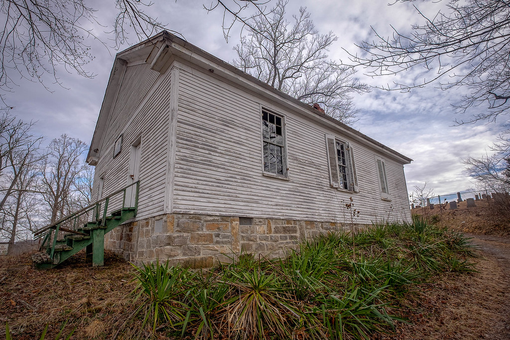
Keller Church _BW

Farmhouse on Flat Mountain (2 of 2)

Greenville Farm
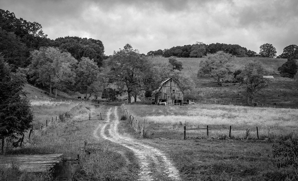
Barn on Cook's Run

Farmhouse on Flat Mountain (1 of 2)

Farm on Cook's Run_BW

West Virginia Farm_BW

Quilt Pattern Barn_BW
Lowell Pedestrian Bridge

Swings on the Tree

John Henry
Topographic Map of Wayside Creamery Road, Wayside Creamery Rd, West Virginia, USA
Find elevation by address:

Places near Wayside Creamery Road, Wayside Creamery Rd, West Virginia, USA:
Wayside
2133 Co Rd 7
Boyd Road
1595 Wayside Creamery Rd
Knobs Rd, Union, WV, USA
Laurel Creek Road
15 Laurel Creek Rd
Ballengee
Greenville
7332 Greenville Rd
7420 Greenville Rd
866 Co Rd 19/3
Greenville, WV, USA
4339 Laurel Creek Rd
Lillydale-Back Creek Rd, Greenville, WV, USA
2105 Hans Creek Rd
Hans Creek Road
Knobs Rd, Union, WV, USA
Walnut Knob
Monroe County
Recent Searches:
- Elevation map of Greenland, Greenland
- Elevation of Sullivan Hill, New York, New York, 10002, USA
- Elevation of Morehead Road, Withrow Downs, Charlotte, Mecklenburg County, North Carolina, 28262, USA
- Elevation of 2800, Morehead Road, Withrow Downs, Charlotte, Mecklenburg County, North Carolina, 28262, USA
- Elevation of Yangbi Yi Autonomous County, Yunnan, China
- Elevation of Pingpo, Yangbi Yi Autonomous County, Yunnan, China
- Elevation of Mount Malong, Pingpo, Yangbi Yi Autonomous County, Yunnan, China
- Elevation map of Yongping County, Yunnan, China
- Elevation of North 8th Street, Palatka, Putnam County, Florida, 32177, USA
- Elevation of 107, Big Apple Road, East Palatka, Putnam County, Florida, 32131, USA
- Elevation of Jiezi, Chongzhou City, Sichuan, China
- Elevation of Chongzhou City, Sichuan, China
- Elevation of Huaiyuan, Chongzhou City, Sichuan, China
- Elevation of Qingxia, Chengdu, Sichuan, China
- Elevation of Corso Fratelli Cairoli, 35, Macerata MC, Italy
- Elevation of Tallevast Rd, Sarasota, FL, USA
- Elevation of 4th St E, Sonoma, CA, USA
- Elevation of Black Hollow Rd, Pennsdale, PA, USA
- Elevation of Oakland Ave, Williamsport, PA, USA
- Elevation of Pedrógão Grande, Portugal