Elevation of Ballengee, WV, USA
Location: United States > West Virginia > Summers County > Greenbrier River >
Longitude: -80.738135
Latitude: 37.6170654
Elevation: 577m / 1893feet
Barometric Pressure: 95KPa
Elevation Map:
Satellite Map:
Related Photos:

Cooks Run Barn_Wide

Cooks Mill Wheel

Across the Tracks

John Henry Statue_Fisheye View
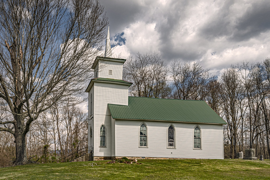
River View Church
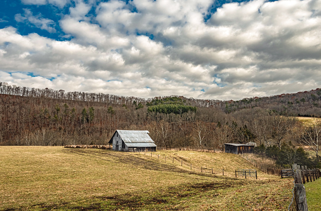
Indian Creek Barn

Beyond the Sunset

View from Alderson (WV) Cemetery

Cook's Mill - West Virginia

View from Alderson (WV) Cemetery

Winter's Afterglow in the Greenbrier Valley: Haiku #16

Alderson Cemetery (WV)

Dairy Queen (Hinton, WV)

Alderson station

Pence Springs

Panorama Of The Bluestone Dam

Side Street

Laurel Creek Bridge - West Virginia

The Grounds

View from Alderson Cemetery (WV)

Railroad YMCA and Station Hinton WV

House on War Ridge Road

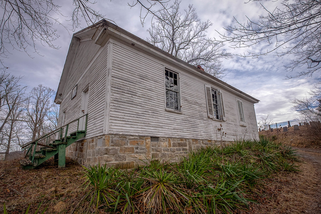
Wolf Creek Church Explored)
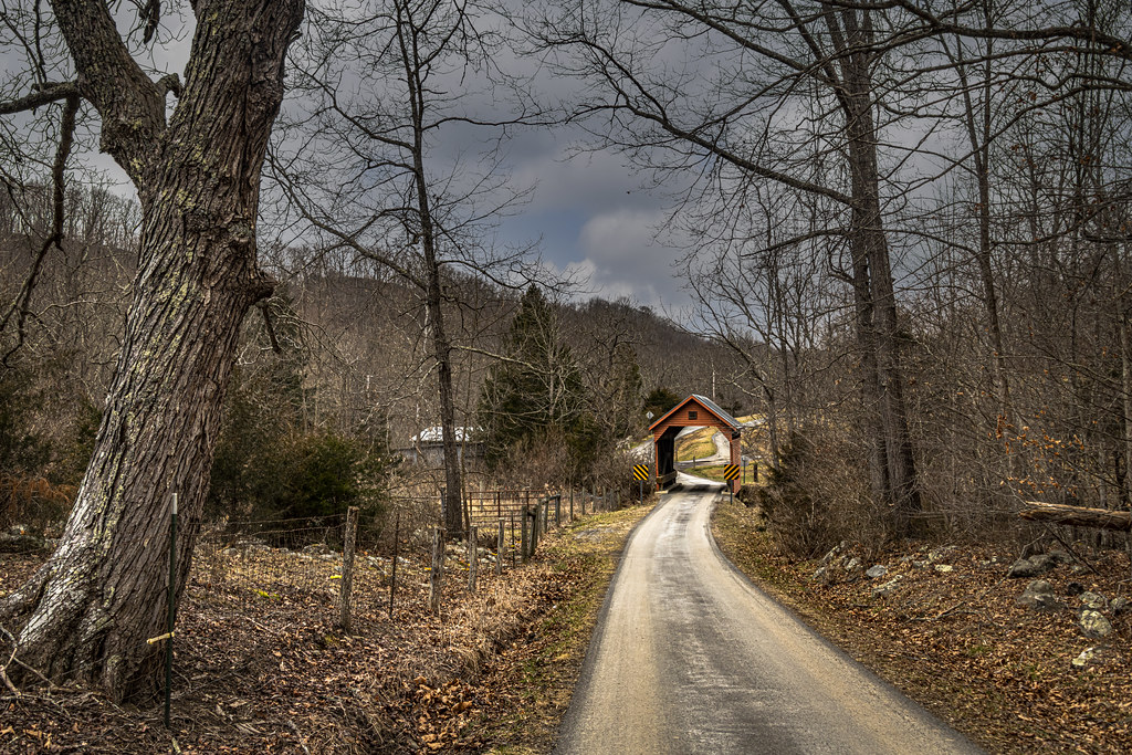
Laurel Creek Covered Bridge
Fall Colors on Indian Creek Road

Cook's Mill (Explored)

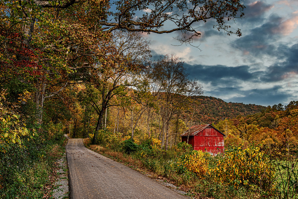
Red Barn on Laurel Creek Road

Cooks Run Farm B&W

Hans Creek Union Church, Greenville, WV. (Explored)

Mt. Hedding Church

Marie General Store
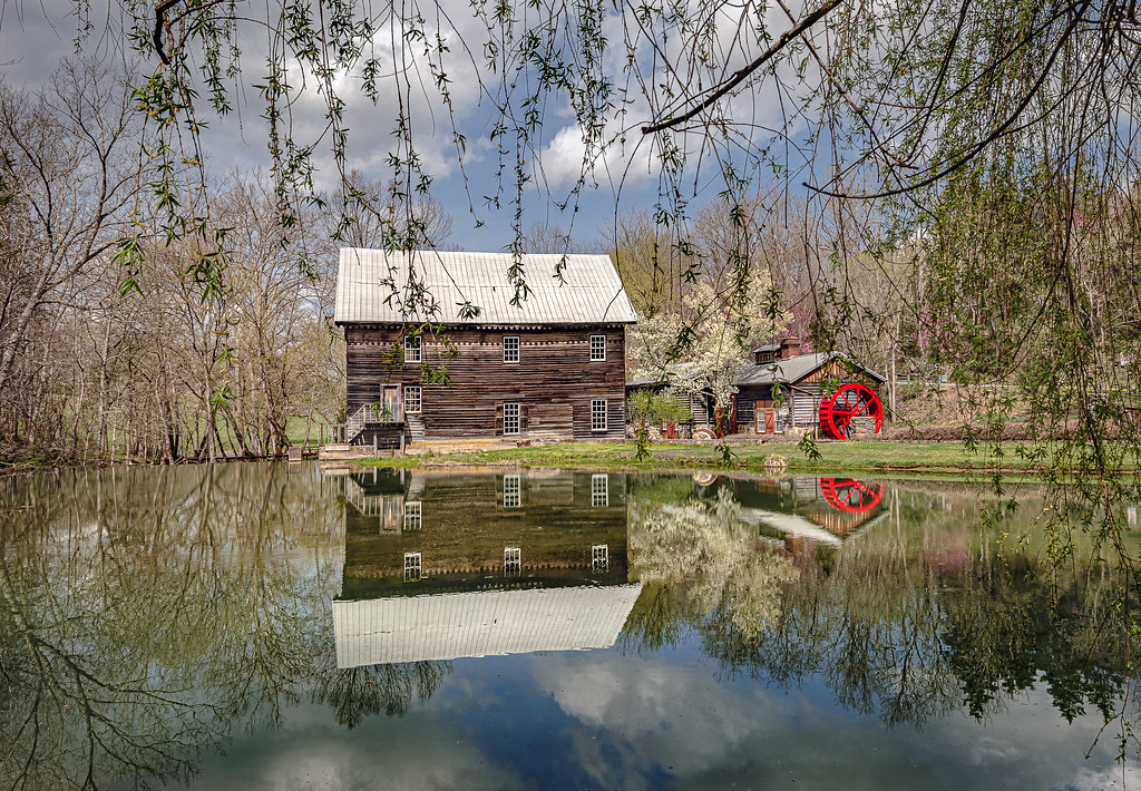
Cook's Mill and Reflections

Wolf Creek Church

Historic WV Barn

Fall Colors at Cook's Mill

Mill and Daffodil

House on Indian Creek, Oct 1, 2020

Ellison Ridge Farm

Dry Pond Primitive Baptist Church

American Spirit
Keller's Creek Church

Greenville Road Barn Quilts
Topographic Map of Ballengee, WV, USA
Find elevation by address:

Places in Ballengee, WV, USA:
Places near Ballengee, WV, USA:
866 Co Rd 19/3
Wayside
Wayside Creamery Road
2133 Co Rd 7
1595 Wayside Creamery Rd
7420 Greenville Rd
7332 Greenville Rd
19 Seminole Rd, Forest Hill, WV, USA
Forest Hill
Boyd Road
2105 Hans Creek Rd
Greenville
Hans Creek Road
15 Laurel Creek Rd
Greenbrier River
Knobs Rd, Union, WV, USA
Red Sulphur Springs
Laurel Creek Road
Greenville, WV, USA
3349 Adair Ridge Rd
Recent Searches:
- Elevation of Corso Fratelli Cairoli, 35, Macerata MC, Italy
- Elevation of Tallevast Rd, Sarasota, FL, USA
- Elevation of 4th St E, Sonoma, CA, USA
- Elevation of Black Hollow Rd, Pennsdale, PA, USA
- Elevation of Oakland Ave, Williamsport, PA, USA
- Elevation of Pedrógão Grande, Portugal
- Elevation of Klee Dr, Martinsburg, WV, USA
- Elevation of Via Roma, Pieranica CR, Italy
- Elevation of Tavkvetili Mountain, Georgia
- Elevation of Hartfords Bluff Cir, Mt Pleasant, SC, USA