Elevation of Red Sulphur Springs, WV, USA
Location: United States > West Virginia > Monroe County > Central >
Longitude: -80.7653594
Latitude: 37.5136893
Elevation: 471m / 1545feet
Barometric Pressure: 0KPa
Related Photos:

Quilt Pattern Barn - No Fishing

Cooks Run Barn_Wide

John Henry Statue_Fisheye View

Cooks Mill Wheel

Quilt Pattern Barn with Clouds_BW
Indian Creek Barn

Happies Wide

Rock Camp General Store

West Virginia, Mountain Momma

Cook's Mill - West Virginia

Laurel Creek Bridge - West Virginia
Overlooking The Barbed Wire

View from Gas Station Bathroom

Crossing the Greenbrier River in the winter

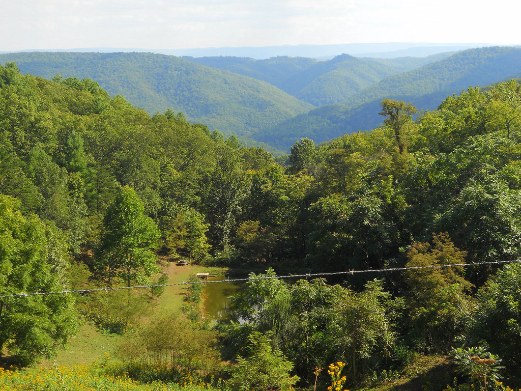
The View from Indian Ridge
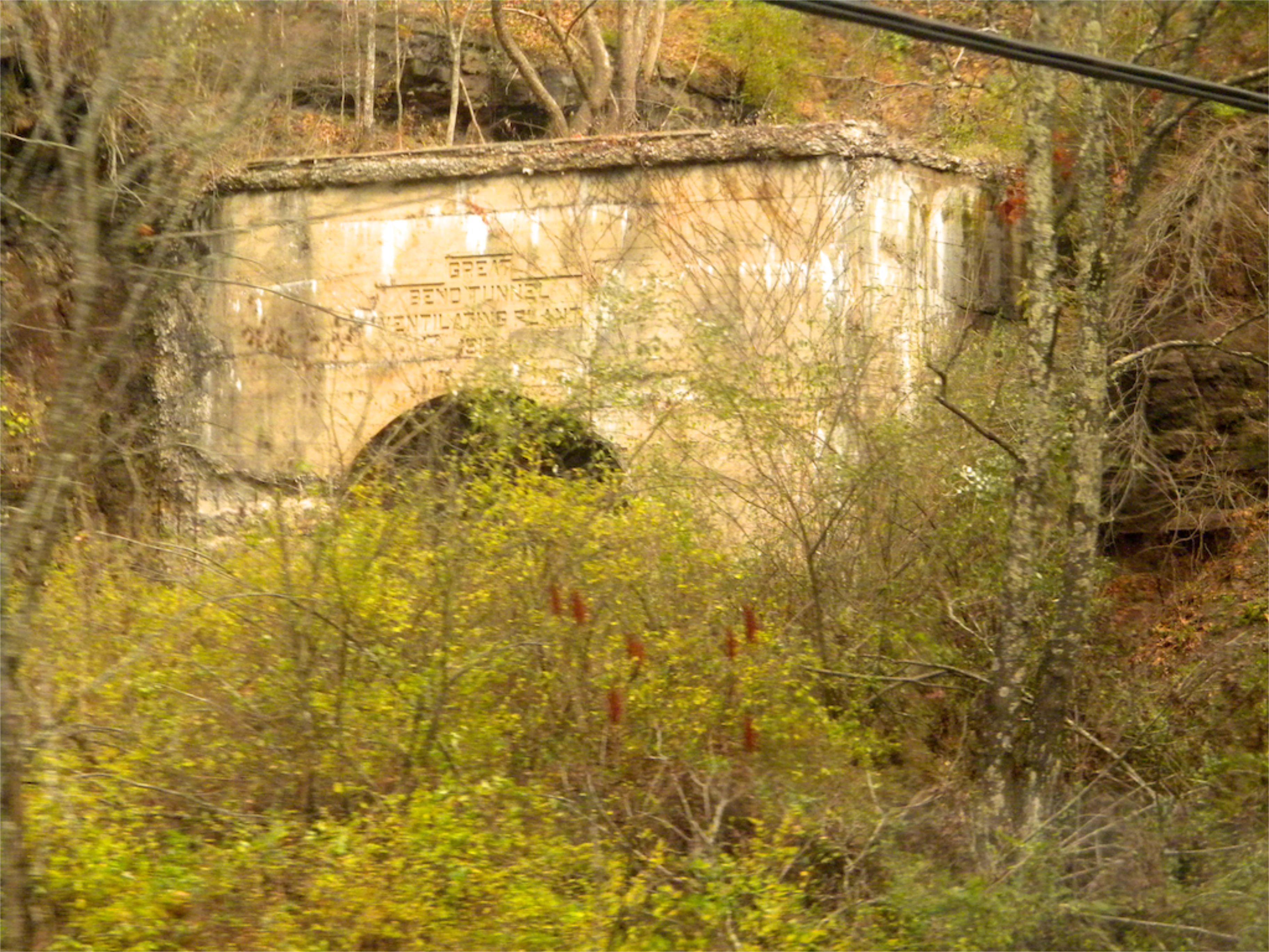
West Virginia: Summers: Great Bend Tunnel

View Southeast from Greenville, WV

Crossing an ice-choked Greenbrier River.
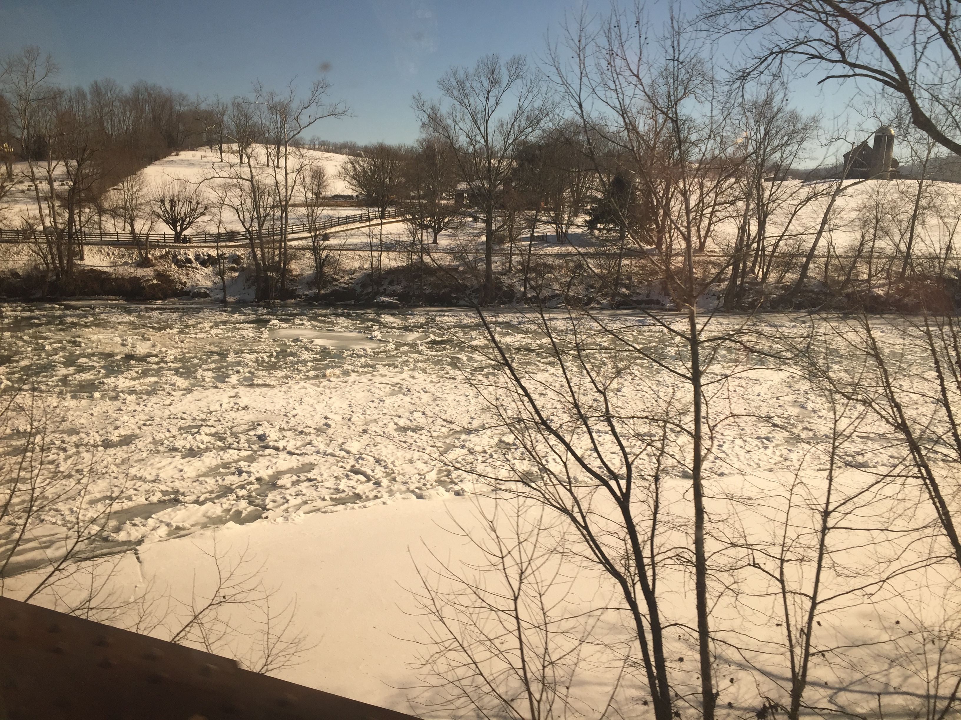
Crossing the Greenbrier River in the winter

Crossing the Greenbrier River in the winter

House on War Ridge Road

Farmhouse on US 219

Peterstown Home in Snow (Explored)

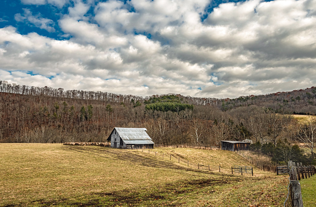
Working Farm
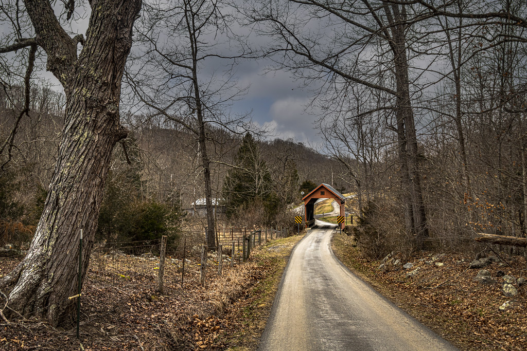
Laurel Creek Covered Bridge
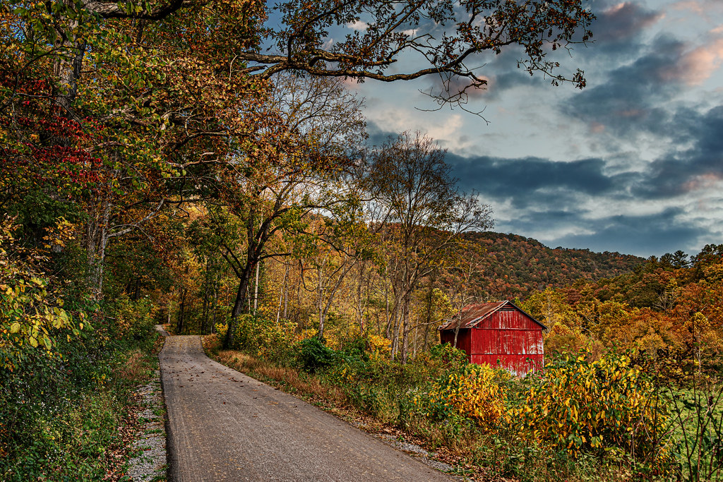
Fall Colors on Indian Creek Road

Cook's Mill (Explored)

Red Barn on Laurel Creek Road

Cooks Run Farm B&W

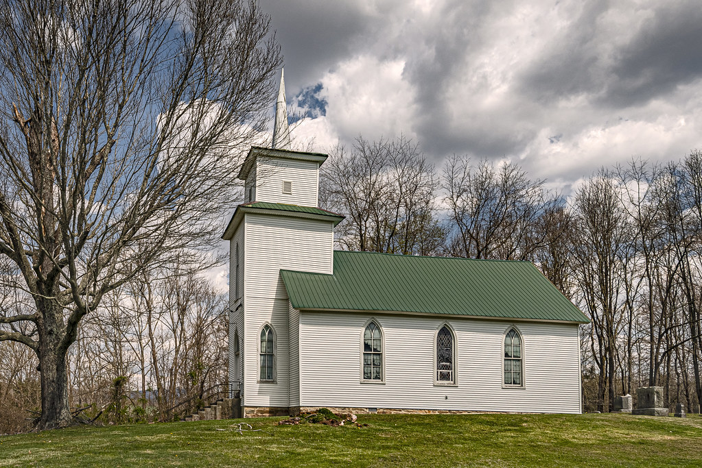
Hans Creek Union Church, Greenville, WV. (Explored)

West Virginia Farm

Mt. Hedding Church

Marie General Store
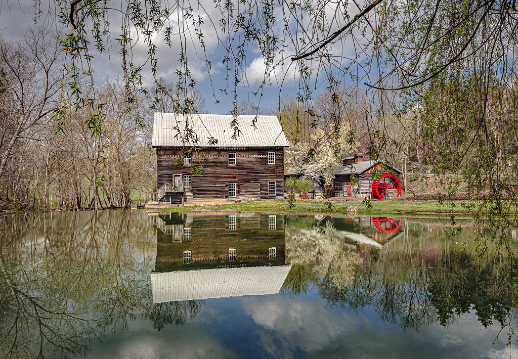
Cook's Mill and Reflections

Historic WV Barn

Ellison Ridge Farm

Queen Anne in Lindside

Snow in the Hollow

Dry Pond Primitive Baptist Church

American Spirit
Keller's Creek Church
Topographic Map of Red Sulphur Springs, WV, USA
Find elevation by address:

Places near Red Sulphur Springs, WV, USA:
3349 Adair Ridge Rd
Ballard
Hans Creek Road
2105 Hans Creek Rd
Mandeville Road
Mandeville Road
Mandeville Road
Stinking Lick Rd, Hinton, WV, USA
Forest Hill
19 Seminole Rd, Forest Hill, WV, USA
7420 Greenville Rd
7332 Greenville Rd
866 Co Rd 19/3
Bozoo
4609 Bozoo Rd
Bozoo Rd, Peterstown, WV, USA
Greenville
1056 Pine Grove Rd #27lindside
15 Laurel Creek Rd
1595 Wayside Creamery Rd
Recent Searches:
- Elevation map of Greenland, Greenland
- Elevation of Sullivan Hill, New York, New York, 10002, USA
- Elevation of Morehead Road, Withrow Downs, Charlotte, Mecklenburg County, North Carolina, 28262, USA
- Elevation of 2800, Morehead Road, Withrow Downs, Charlotte, Mecklenburg County, North Carolina, 28262, USA
- Elevation of Yangbi Yi Autonomous County, Yunnan, China
- Elevation of Pingpo, Yangbi Yi Autonomous County, Yunnan, China
- Elevation of Mount Malong, Pingpo, Yangbi Yi Autonomous County, Yunnan, China
- Elevation map of Yongping County, Yunnan, China
- Elevation of North 8th Street, Palatka, Putnam County, Florida, 32177, USA
- Elevation of 107, Big Apple Road, East Palatka, Putnam County, Florida, 32131, USA
- Elevation of Jiezi, Chongzhou City, Sichuan, China
- Elevation of Chongzhou City, Sichuan, China
- Elevation of Huaiyuan, Chongzhou City, Sichuan, China
- Elevation of Qingxia, Chengdu, Sichuan, China
- Elevation of Corso Fratelli Cairoli, 35, Macerata MC, Italy
- Elevation of Tallevast Rd, Sarasota, FL, USA
- Elevation of 4th St E, Sonoma, CA, USA
- Elevation of Black Hollow Rd, Pennsdale, PA, USA
- Elevation of Oakland Ave, Williamsport, PA, USA
- Elevation of Pedrógão Grande, Portugal