Elevation of Bozoo, WV, USA
Location: United States > West Virginia > Monroe County > Western > Peterstown >
Longitude: -80.822301
Latitude: 37.462899
Elevation: 676m / 2218feet
Barometric Pressure: 93KPa
Elevation Map:
Satellite Map:
Related Photos:
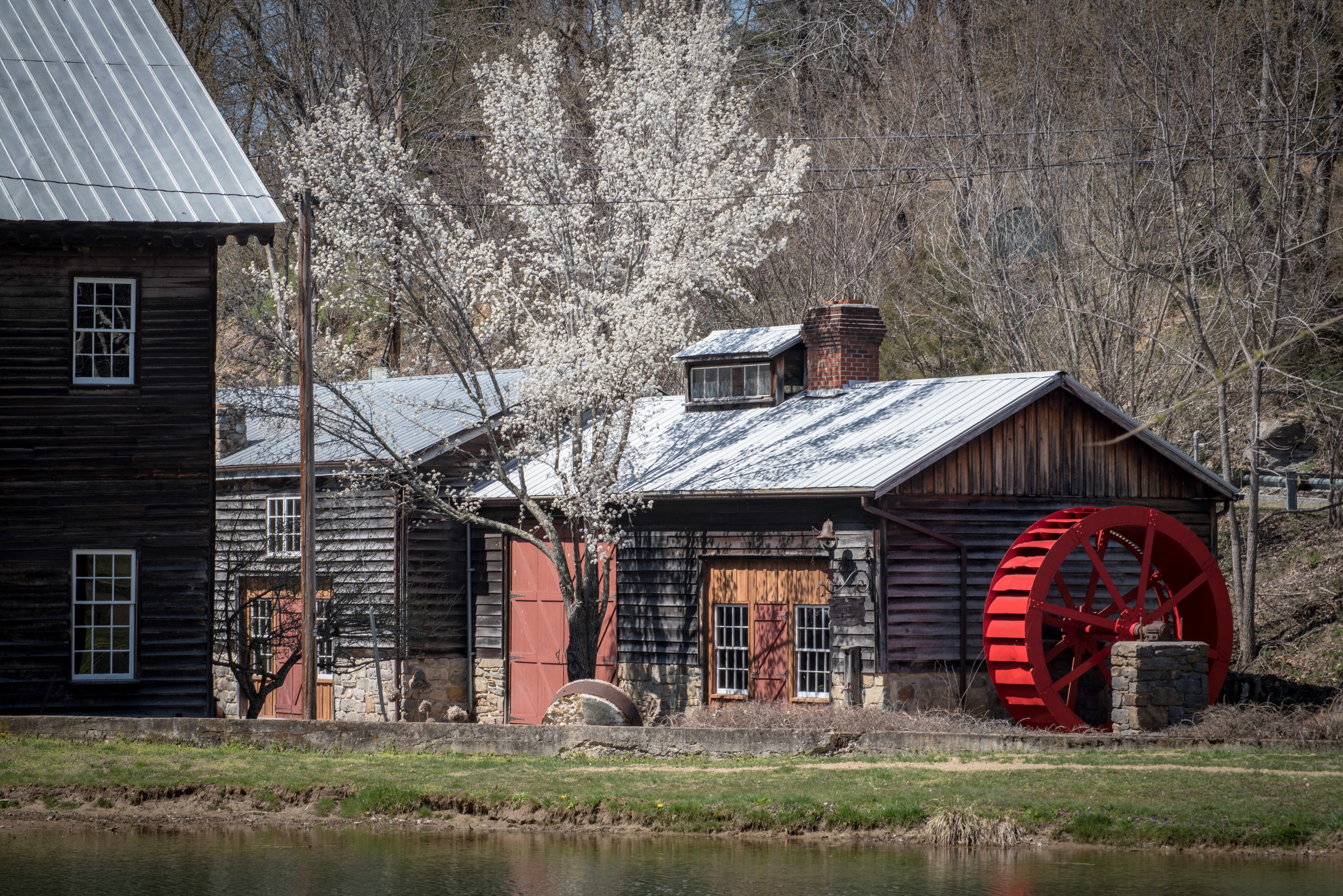
Cooks Mill Wheel

Cook's Mill - West Virginia

Cooks Run Barn_Wide

Culturefest Clouds

Texture of terrain and clouds

Under the narrows Bridge with hoppers

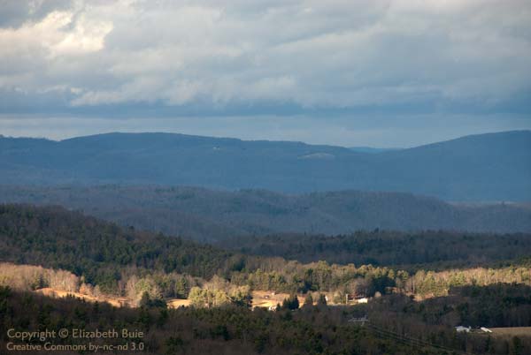
View Southeast from Greenville, WV

Texture of terrain and clouds
Small town in the hills

beautiful view near rich creek

New River

IMG_0102_First Views of Pearisburg near VA 460

stone, green, and iron

side view

bottom bridge

Pipestem Tower View

Pipestem Tower View

Mill and Daffodil

Mill, Irises and Clouds

By the light of the Harvest Moon

Mennonite Country_BW
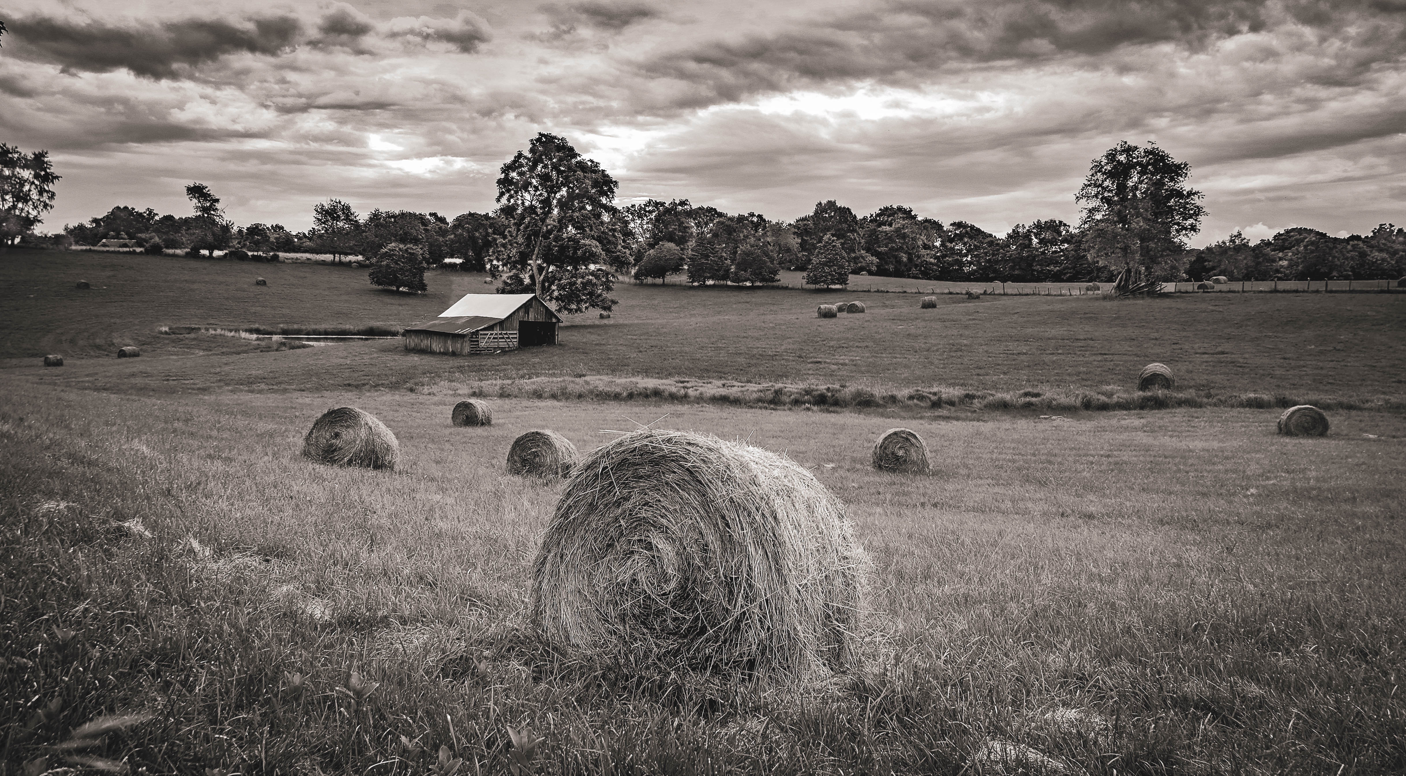
Hay in a Field_BW

Greenville Farm

Small town, WV

Farm on Cook's Run_BW

Greenville Farm_BW
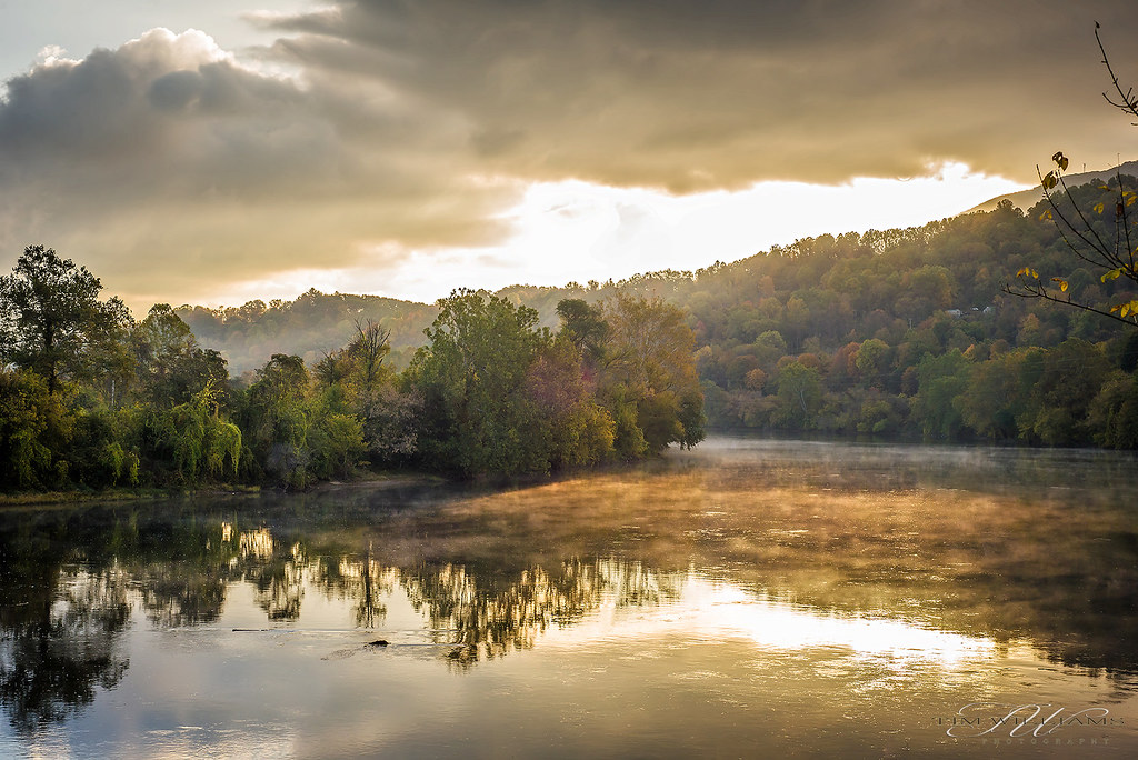
Fall morning on the New River

Allegany Baptist Church_BW

JFRM-2017-05-7882-Pano.jpg

2013.11.08.30 West Virginia

Little Wolf Creek Falls

New River

New River (15/52)

Narrows, Virginia

The Duck Pond
Topographic Map of Bozoo, WV, USA
Find elevation by address:

Places near Bozoo, WV, USA:
4609 Bozoo Rd
Bozoo Rd, Peterstown, WV, USA
Stinking Lick Rd, Hinton, WV, USA
Mandeville Road
Mandeville Road
Mandeville Road
Ballard
3349 Adair Ridge Rd
Red Sulphur Springs
Forest Hill
19 Seminole Rd, Forest Hill, WV, USA
Hans Creek Road
2105 Hans Creek Rd
Summers County
1056 Pine Grove Rd #27lindside
Greenbrier River
7420 Greenville Rd
866 Co Rd 19/3
7332 Greenville Rd
All Smiles Photography
Recent Searches:
- Elevation of Corso Fratelli Cairoli, 35, Macerata MC, Italy
- Elevation of Tallevast Rd, Sarasota, FL, USA
- Elevation of 4th St E, Sonoma, CA, USA
- Elevation of Black Hollow Rd, Pennsdale, PA, USA
- Elevation of Oakland Ave, Williamsport, PA, USA
- Elevation of Pedrógão Grande, Portugal
- Elevation of Klee Dr, Martinsburg, WV, USA
- Elevation of Via Roma, Pieranica CR, Italy
- Elevation of Tavkvetili Mountain, Georgia
- Elevation of Hartfords Bluff Cir, Mt Pleasant, SC, USA