Elevation of Hans Creek Rd, Greenville, WV, USA
Location: United States > West Virginia > Monroe County > Central > Greenville >
Longitude: -80.726441
Latitude: 37.528199
Elevation: 501m / 1644feet
Barometric Pressure: 0KPa
Related Photos:

John Henry Statue_Fisheye View

West Virginia, Mountain Momma

Indian Creek Covered Bridge

The View from Indian Ridge

Quilt Pattern Barn - No Fishing

Cooks Run Barn_Wide

Cooks Mill Wheel

Quilt Pattern Barn with Clouds_BW
Indian Creek Barn

Happies Wide

Rock Camp General Store

Cook's Mill - West Virginia

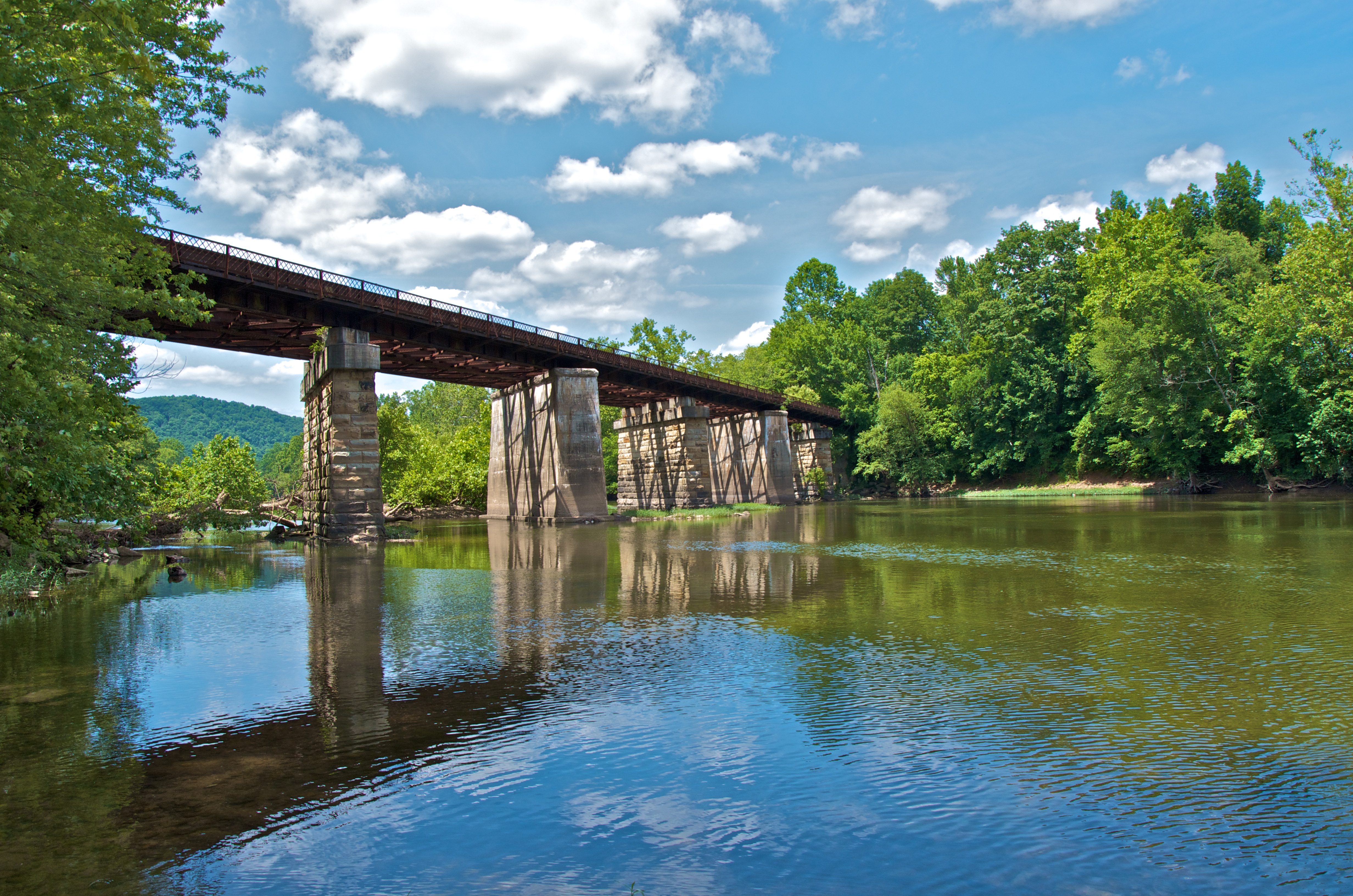
Indian Creek Bridge 2 - West Virginia

Laurel Creek Bridge - West Virginia

View from Gas Station Bathroom
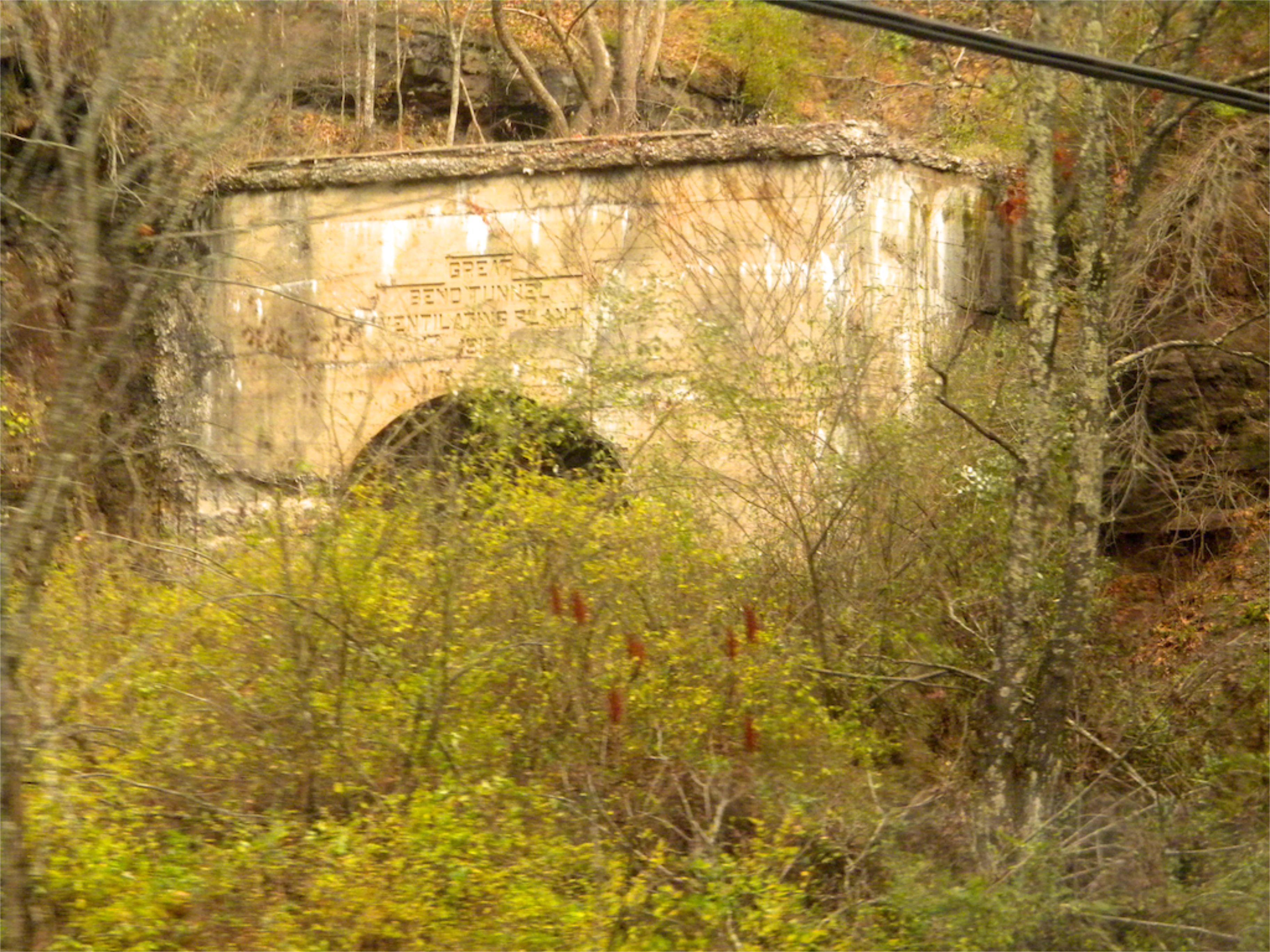
West Virginia: Summers: Great Bend Tunnel

Crossing the Greenbrier River in the winter

View Southeast from Greenville, WV

Crossing an ice-choked Greenbrier River.
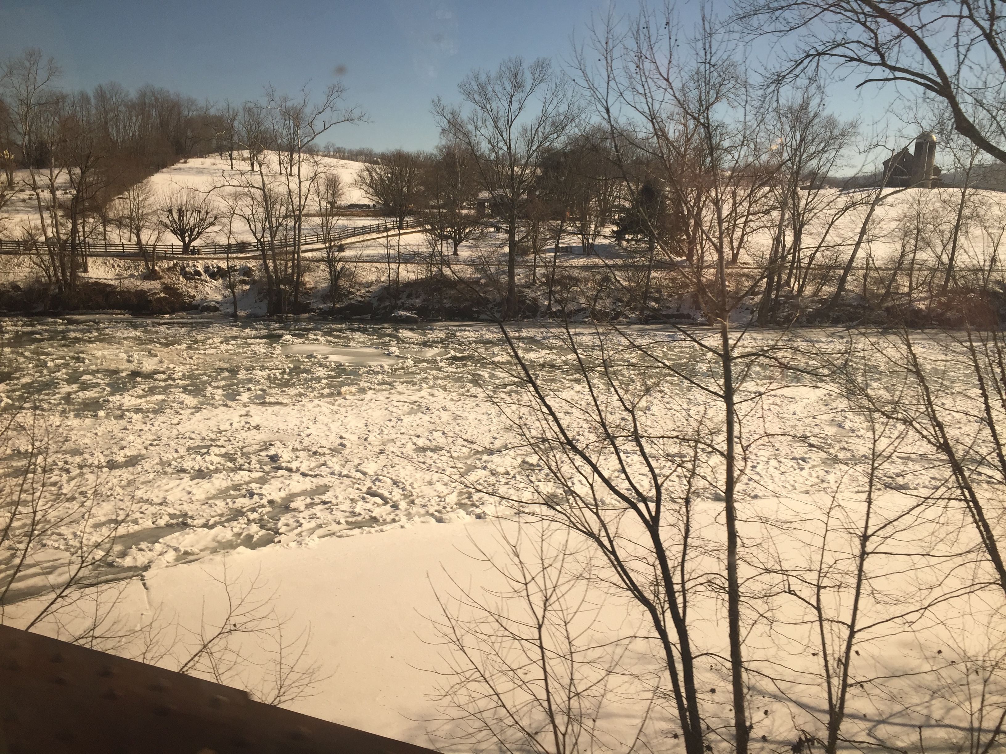
Crossing the Greenbrier River in the winter

Crossing the Greenbrier River in the winter

Mennonite Country_BW

Keller Church _BW
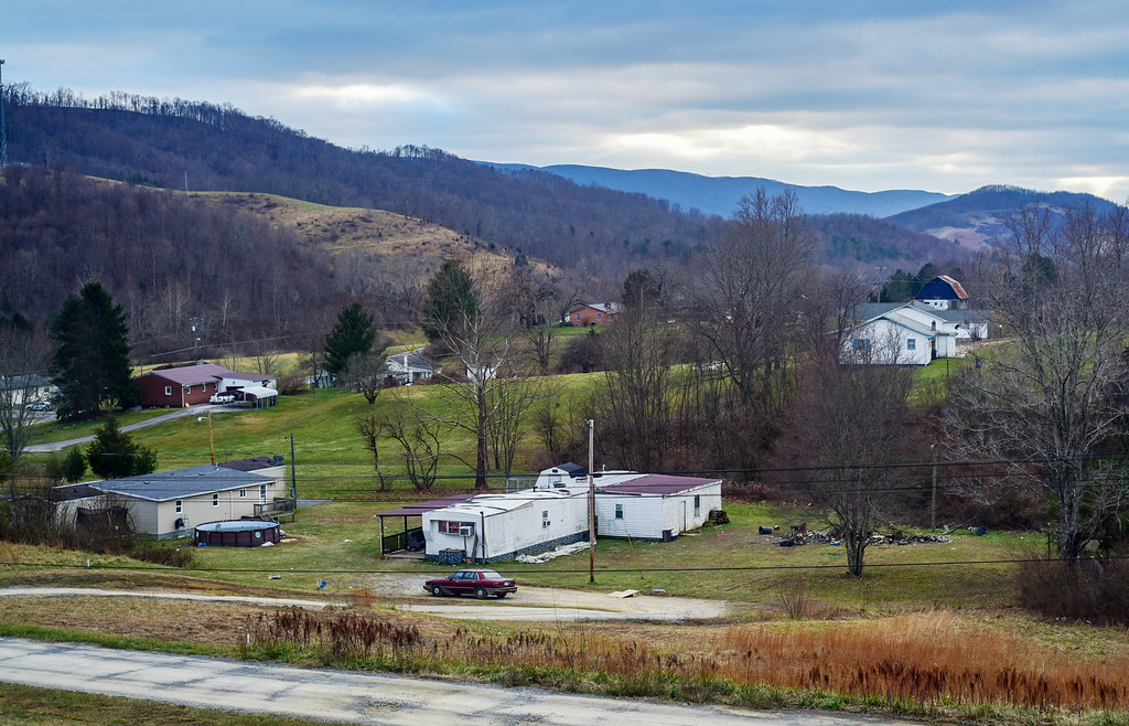
Small town, WV

Farm on Cook's Run_BW

By the light of the Harvest Moon
Lowell Pedestrian Bridge

On the top of Bozoo Road.
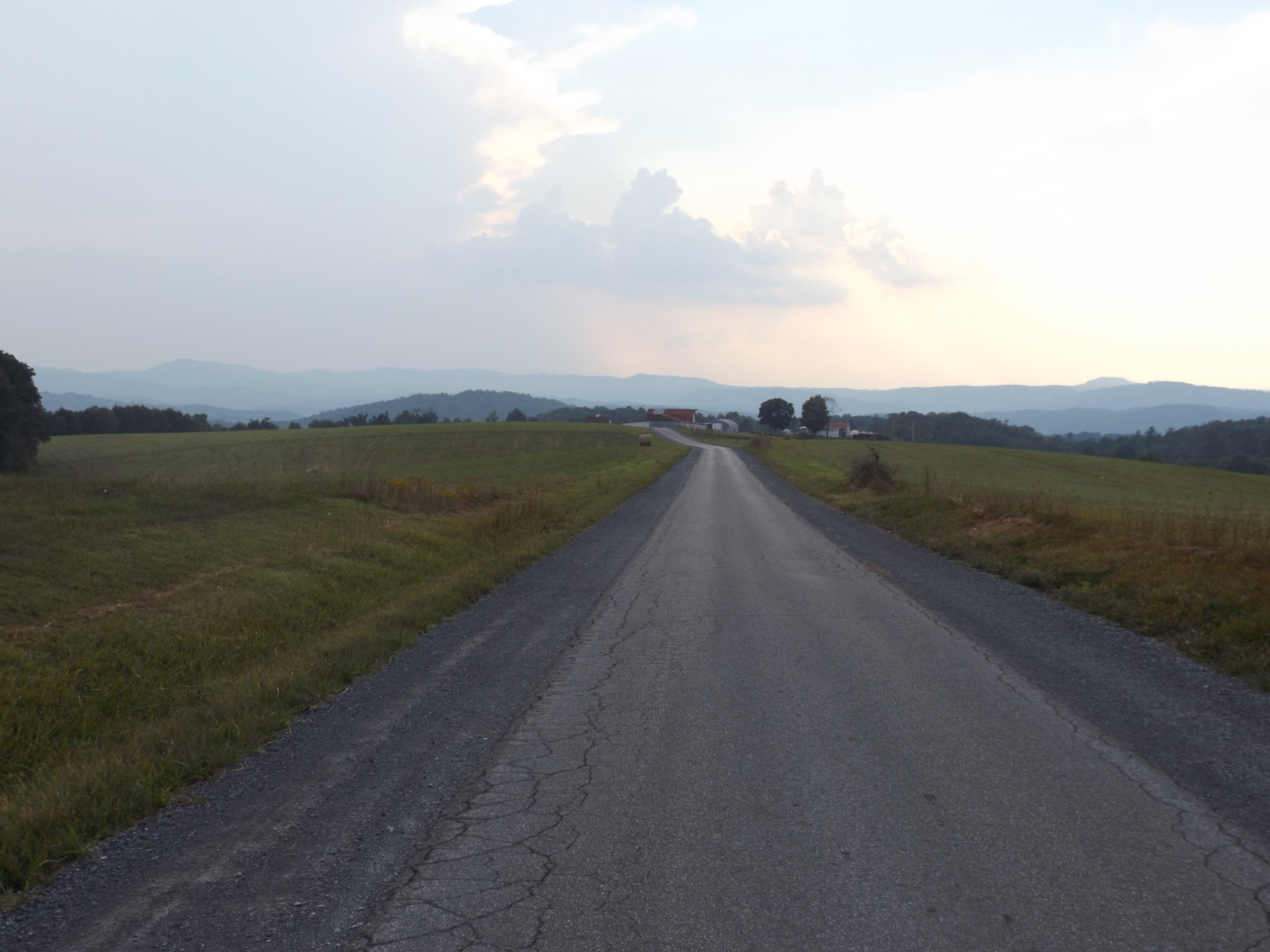
On the top of Bozoo Road.

On the top of Bozoo Road.

New River at Indian Creek

Mill and Daffodil

Little Wolf Creek Falls

Mill, Irises and Clouds

Square Farm House_BW

Quilt Barn_BW

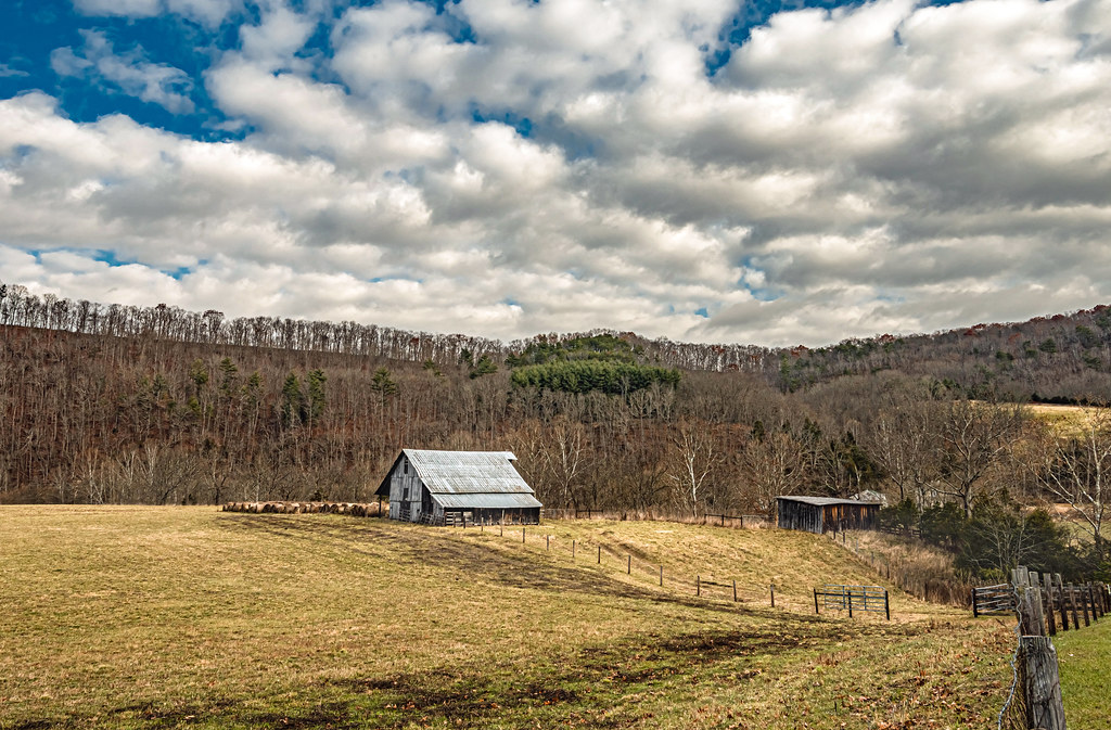
Greenville Farm_BW

Greenville Farm
Topographic Map of Hans Creek Rd, Greenville, WV, USA
Find elevation by address:

Places near Hans Creek Rd, Greenville, WV, USA:
Hans Creek Road
7420 Greenville Rd
7332 Greenville Rd
Red Sulphur Springs
866 Co Rd 19/3
Greenville
15 Laurel Creek Rd
1595 Wayside Creamery Rd
2133 Co Rd 7
3349 Adair Ridge Rd
Greenville, WV, USA
Wayside
Ballard
Forest Hill
Boyd Road
19 Seminole Rd, Forest Hill, WV, USA
Mandeville Road
Mandeville Road
Mandeville Road
1056 Pine Grove Rd #27lindside
Recent Searches:
- Elevation of Pasing, Munich, Bavaria, 81241, Germany
- Elevation of 24, Auburn Bay Crescent SE, Auburn Bay, Calgary, Alberta, T3M 0A6, Canada
- Elevation of Denver, 2314, Arapahoe Street, Five Points, Denver, Colorado, 80205, USA
- Elevation of Community of the Beatitudes, 2924, West 43rd Avenue, Sunnyside, Denver, Colorado, 80211, USA
- Elevation map of Litang County, Sichuan, China
- Elevation map of Madoi County, Qinghai, China
- Elevation of 3314, Ohio State Route 114, Payne, Paulding County, Ohio, 45880, USA
- Elevation of Sarahills Drive, Saratoga, Santa Clara County, California, 95070, USA
- Elevation of Town of Bombay, Franklin County, New York, USA
- Elevation of 9, Convent Lane, Center Moriches, Suffolk County, New York, 11934, USA
- Elevation of Saint Angelas Convent, 9, Convent Lane, Center Moriches, Suffolk County, New York, 11934, USA
- Elevation of 131st Street Southwest, Mukilteo, Snohomish County, Washington, 98275, USA
- Elevation of 304, Harrison Road, Naples, Cumberland County, Maine, 04055, USA
- Elevation of 2362, Timber Ridge Road, Harrisburg, Cabarrus County, North Carolina, 28075, USA
- Elevation of Ridge Road, Marshalltown, Marshall County, Iowa, 50158, USA
- Elevation of 2459, Misty Shadows Drive, Pigeon Forge, Sevier County, Tennessee, 37862, USA
- Elevation of 8043, Brightwater Way, Spring Hill, Williamson County, Tennessee, 37179, USA
- Elevation of Starkweather Road, San Luis, Costilla County, Colorado, 81152, USA
- Elevation of 5277, Woodside Drive, Baton Rouge, East Baton Rouge Parish, Louisiana, 70808, USA
- Elevation of 1139, Curtin Street, Shepherd Park Plaza, Houston, Harris County, Texas, 77018, USA