Elevation of Co Rd 7, Greenville, WV, USA
Location: United States > West Virginia > Monroe County > Eastern > Wayside >
Longitude: -80.6887552
Latitude: 37.5803248
Elevation: 518m / 1699feet
Barometric Pressure: 0KPa
Related Photos:

Quilt Pattern Barn - No Fishing

Quilt Pattern Barn with Clouds_BW

Happies Wide

Rock Camp General Store

Alderson WV

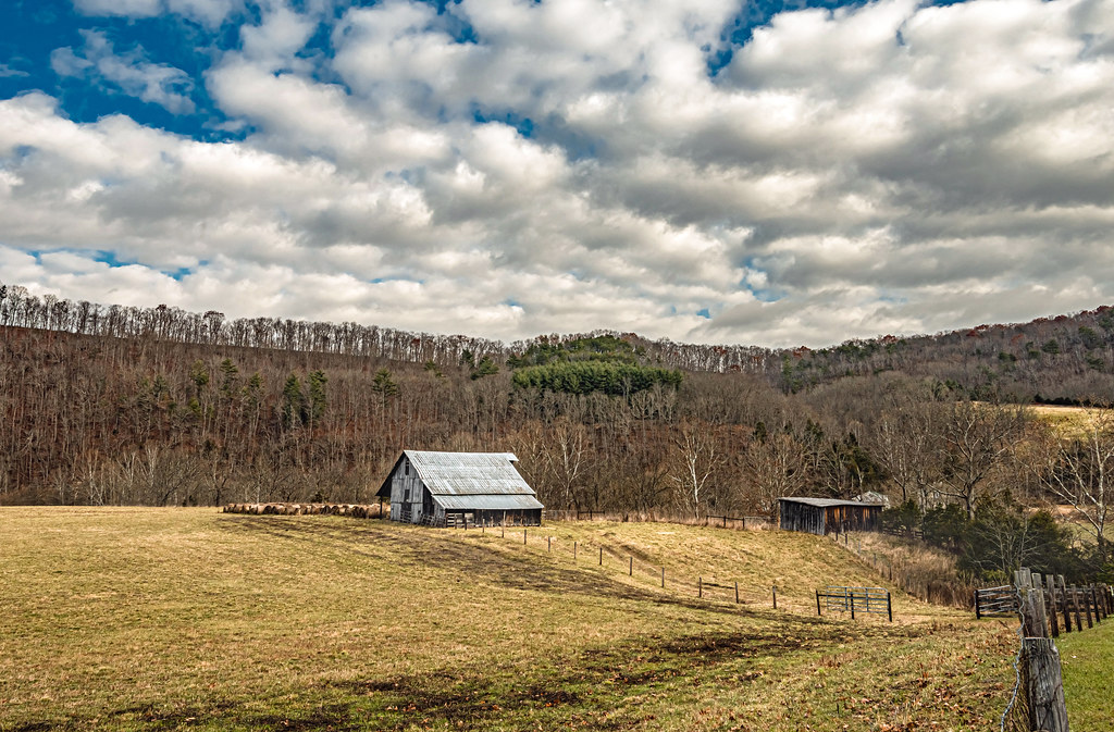
Cooks Run Barn_Wide

Cooks Mill Wheel

John Henry Statue_Fisheye View
Indian Creek Barn
River View Church

West Virginia, Mountain Momma

Cook's Mill - West Virginia
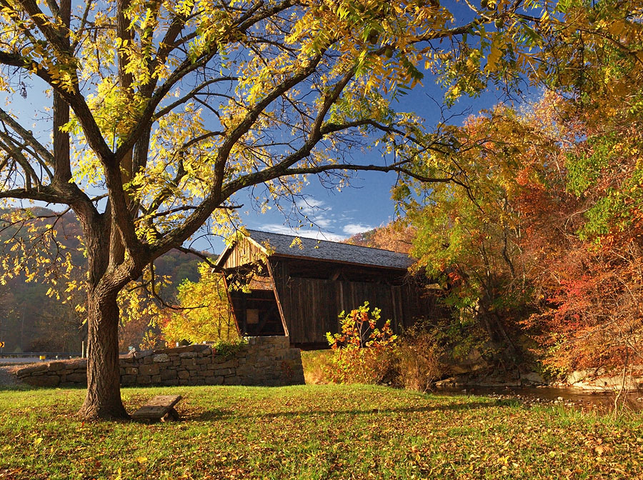
Indian Creek Covered Bridge

Winter's Afterglow in the Greenbrier Valley: Haiku #16

Pence Springs

Indian Creek Bridge 2 - West Virginia

Laurel Creek Bridge - West Virginia

The Grounds

View from Gas Station Bathroom
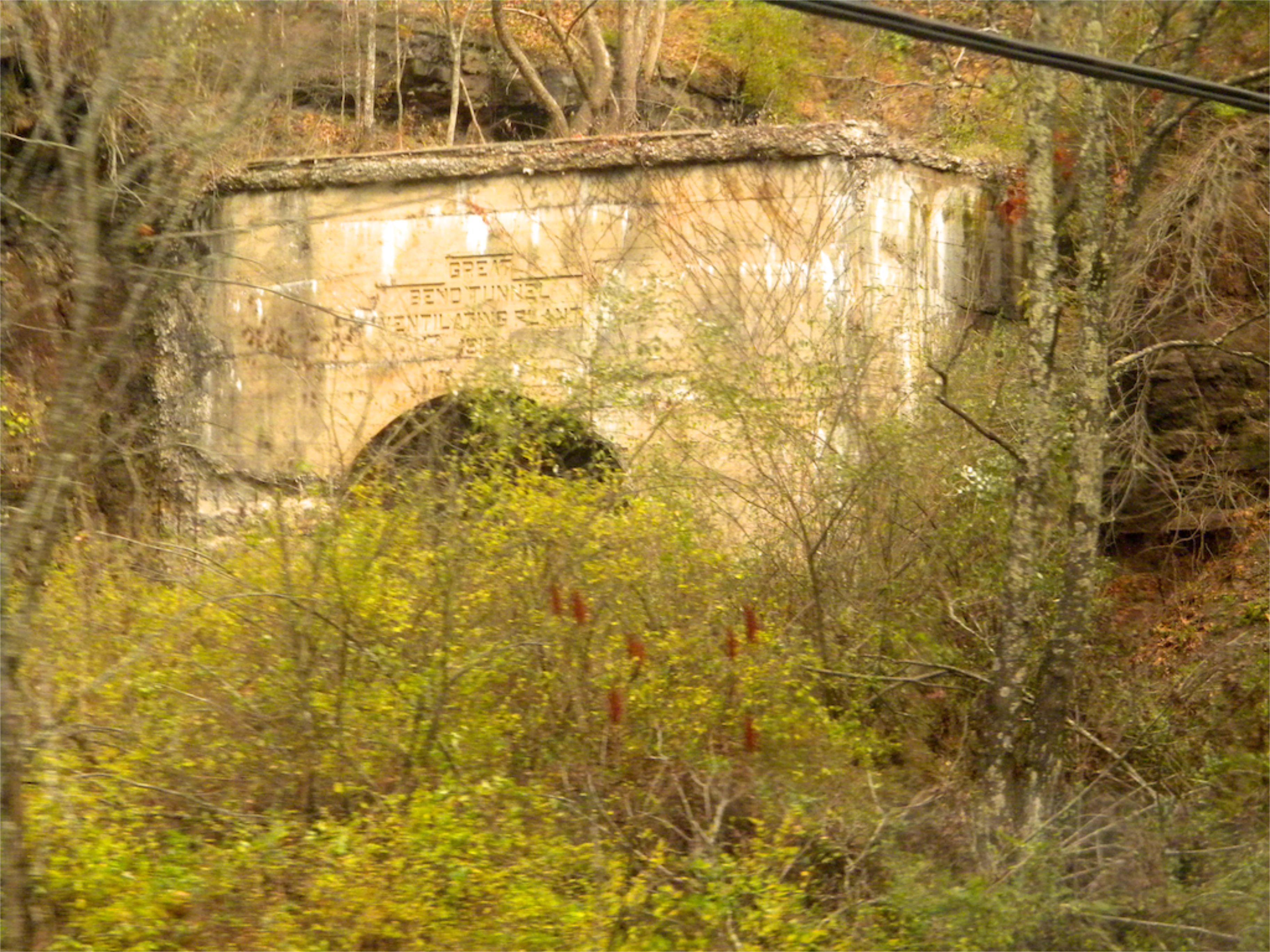
West Virginia: Summers: Great Bend Tunnel

Crossing the Greenbrier River in the winter

Mill and Daffodil

Mennonite Country_BW
Small town, WV
Barn on Cook's Run

Old Mansion in Union, WV

View from Confederate Monument, Monroe County, WV

There is strength in numbers #urbangangfamily #igshots #nature #bloom #flower #bush #natural #TAGSTAGRAM #igaddicts #igdaily #ic_landscapes #igshots

Monroe County

Indian Creek Valley

old farm fields

John Henry Park

Little Wolf Creek Falls

Mill, Irises and Clouds

Wolf Creek Church_BW

Square Farm House_BW

Greenville Farm_BW

Quilt Barn_BW

Keller Church _BW
Topographic Map of Co Rd 7, Greenville, WV, USA
Find elevation by address:

Places near Co Rd 7, Greenville, WV, USA:
1595 Wayside Creamery Rd
Wayside
Boyd Road
Wayside Creamery Road
Greenville
15 Laurel Creek Rd
7332 Greenville Rd
7420 Greenville Rd
866 Co Rd 19/3
Laurel Creek Road
Knobs Rd, Union, WV, USA
Greenville, WV, USA
Ballengee
2105 Hans Creek Rd
Hans Creek Road
4339 Laurel Creek Rd
Lillydale-Back Creek Rd, Greenville, WV, USA
Walnut Knob
Seneca Trail S, Union, WV, USA
19 Seminole Rd, Forest Hill, WV, USA
Recent Searches:
- Elevation of 10370, West 107th Circle, Westminster, Jefferson County, Colorado, 80021, USA
- Elevation of 611, Roman Road, Old Ford, Bow, London, England, E3 2RW, United Kingdom
- Elevation of 116, Beartown Road, Underhill, Chittenden County, Vermont, 05489, USA
- Elevation of Window Rock, Colfax County, New Mexico, 87714, USA
- Elevation of 4807, Rosecroft Street, Kempsville Gardens, Virginia Beach, Virginia, 23464, USA
- Elevation map of Matawinie, Quebec, Canada
- Elevation of Sainte-Émélie-de-l'Énergie, Matawinie, Quebec, Canada
- Elevation of Rue du Pont, Sainte-Émélie-de-l'Énergie, Matawinie, Quebec, J0K2K0, Canada
- Elevation of 8, Rue de Bécancour, Blainville, Thérèse-De Blainville, Quebec, J7B1N2, Canada
- Elevation of Wilmot Court North, 163, University Avenue West, Northdale, Waterloo, Region of Waterloo, Ontario, N2L6B6, Canada
- Elevation map of Panamá Province, Panama
- Elevation of Balboa, Panamá Province, Panama
- Elevation of San Miguel, Balboa, Panamá Province, Panama
- Elevation of Isla Gibraleón, San Miguel, Balboa, Panamá Province, Panama
- Elevation of 4655, Krischke Road, Schulenburg, Fayette County, Texas, 78956, USA
- Elevation of Carnegie Avenue, Downtown Cleveland, Cleveland, Cuyahoga County, Ohio, 44115, USA
- Elevation of Walhonding, Coshocton County, Ohio, USA
- Elevation of Clifton Down, Clifton, Bristol, City of Bristol, England, BS8 3HU, United Kingdom
- Elevation map of Auvergne-Rhône-Alpes, France
- Elevation map of Upper Savoy, Auvergne-Rhône-Alpes, France