Elevation of Seneca Trail S, Union, WV, USA
Location: United States > West Virginia > Monroe County > Central > Union >
Longitude: -80.616646
Latitude: 37.5192368
Elevation: 526m / 1726feet
Barometric Pressure: 95KPa
Elevation Map:
Satellite Map:
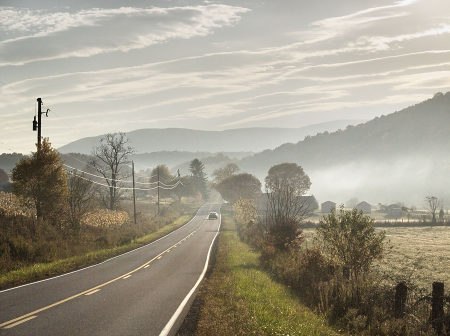
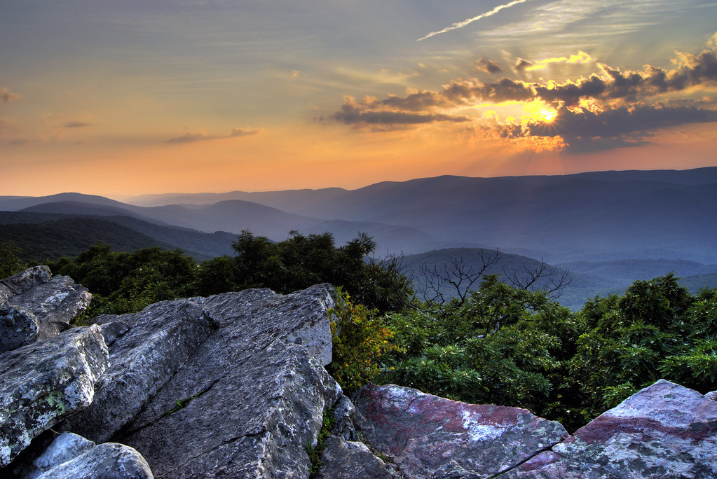
Related Photos:
West Virginia, Mountain Momma

Cook's Mill - West Virginia
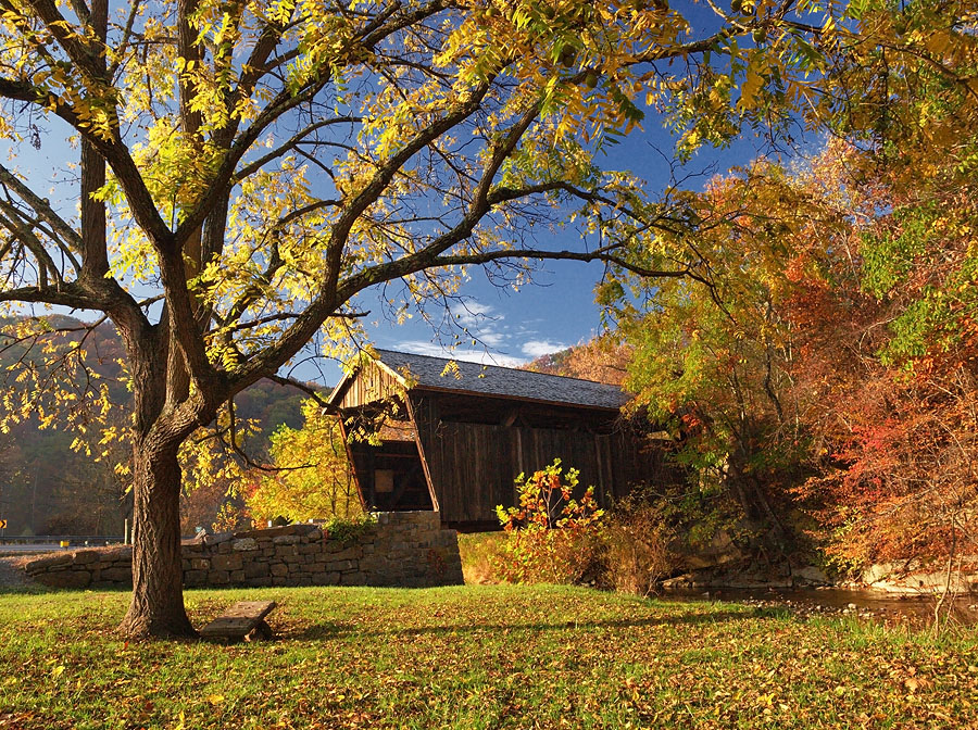
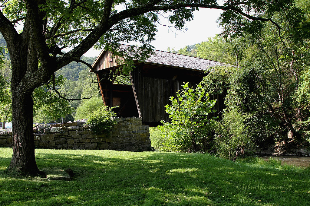
Indian Creek Covered Bridge
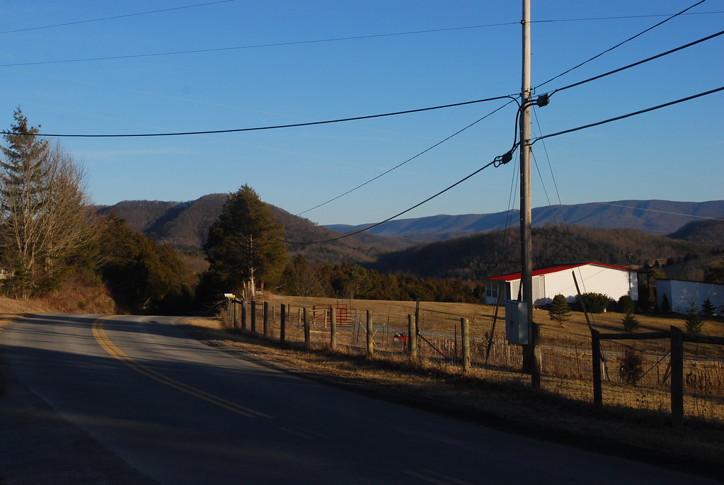
View Southeast from Greenville, WV
Western Sky
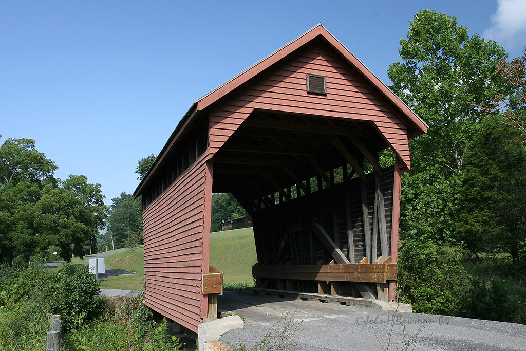
Indian Creek Bridge 2 - West Virginia
Laurel Creek Bridge - West Virginia

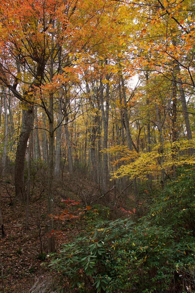
Wind Rock Trees
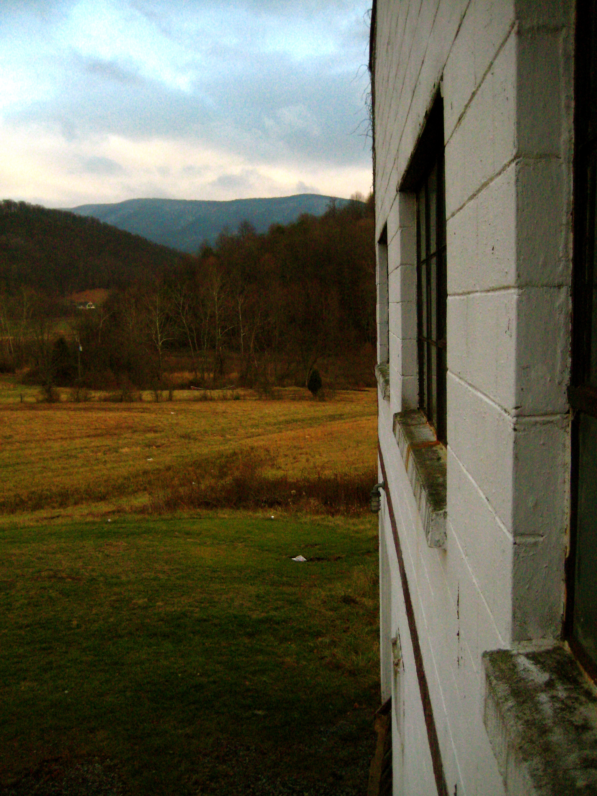
View from Gas Station Bathroom
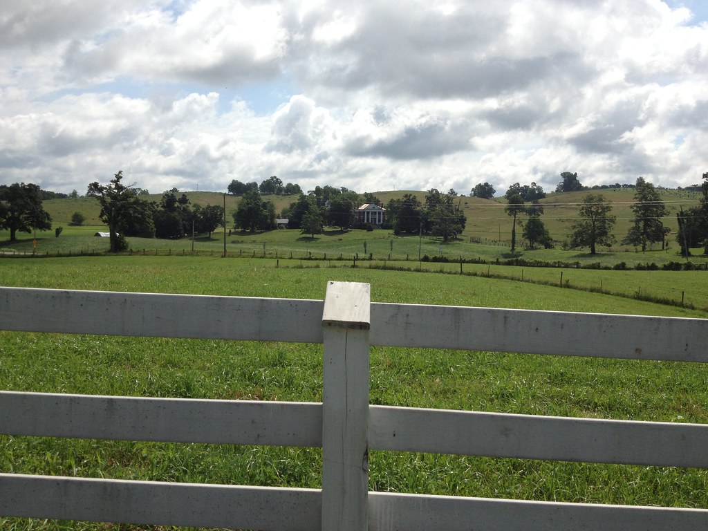
View from Confederate Monument, Monroe County, WV
Sunset View from Wind Rock
Wind Rock Summit
Snowy Reflection

By the light of the Harvest Moon
Kids fishing pond 2
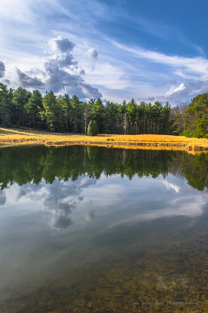
Kids fishing pond
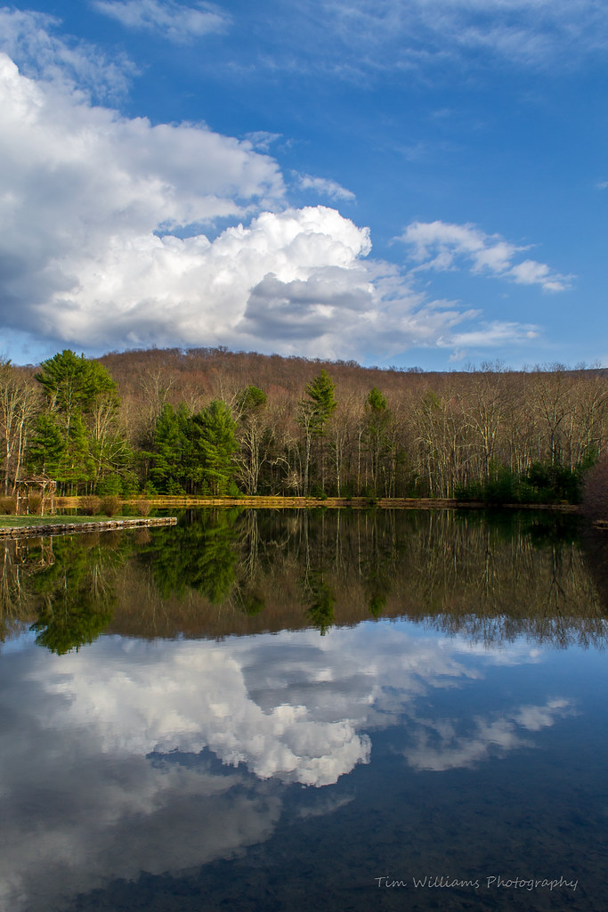
Mirror Image
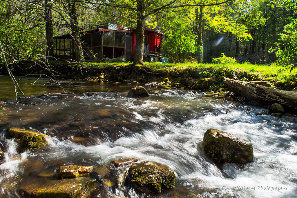
Caboose in the woods (18/52)

There is strength in numbers #urbangangfamily #igshots #nature #bloom #flower #bush #natural #TAGSTAGRAM #igaddicts #igdaily #ic_landscapes #igshots

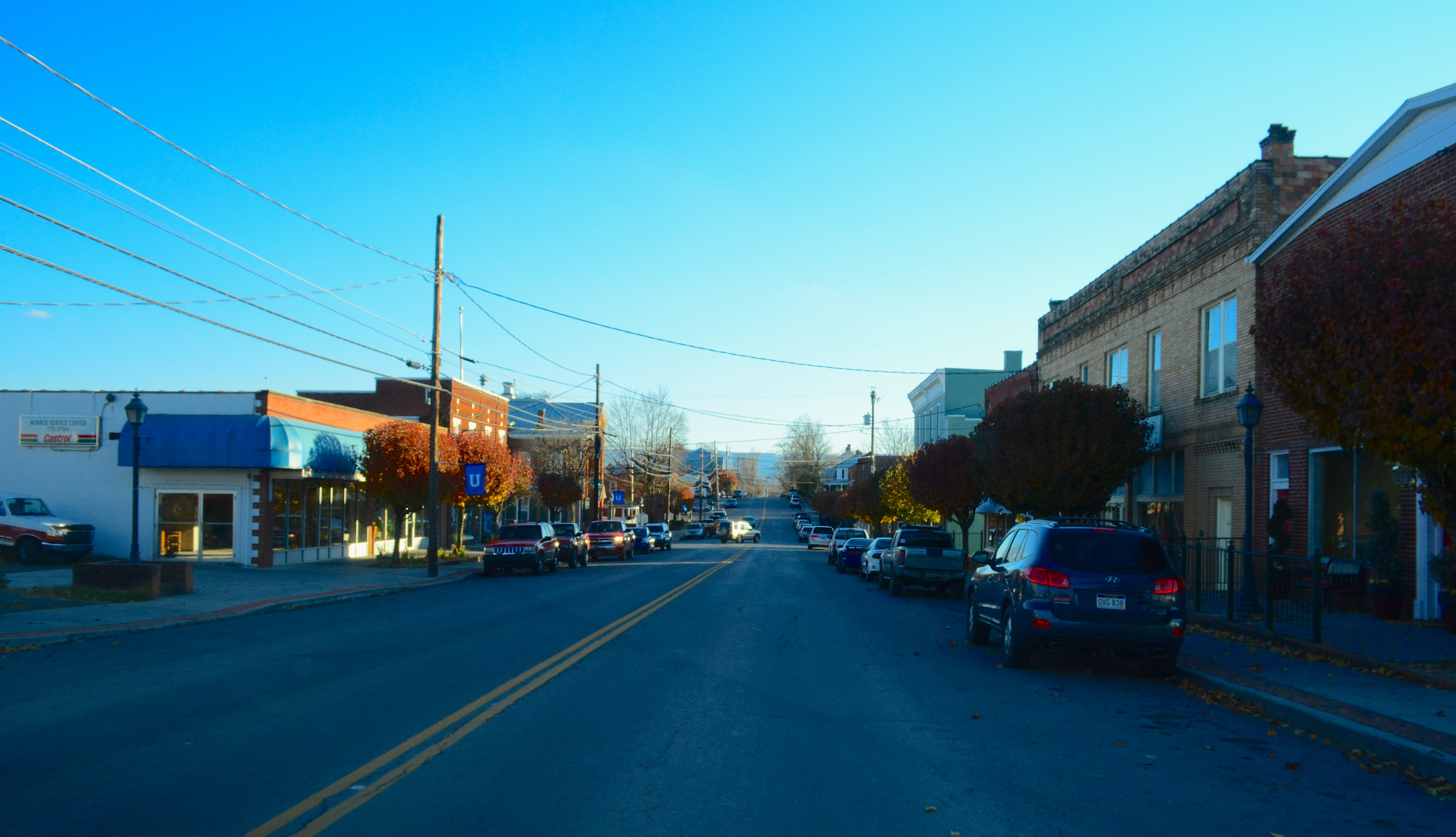
Zenith, WV
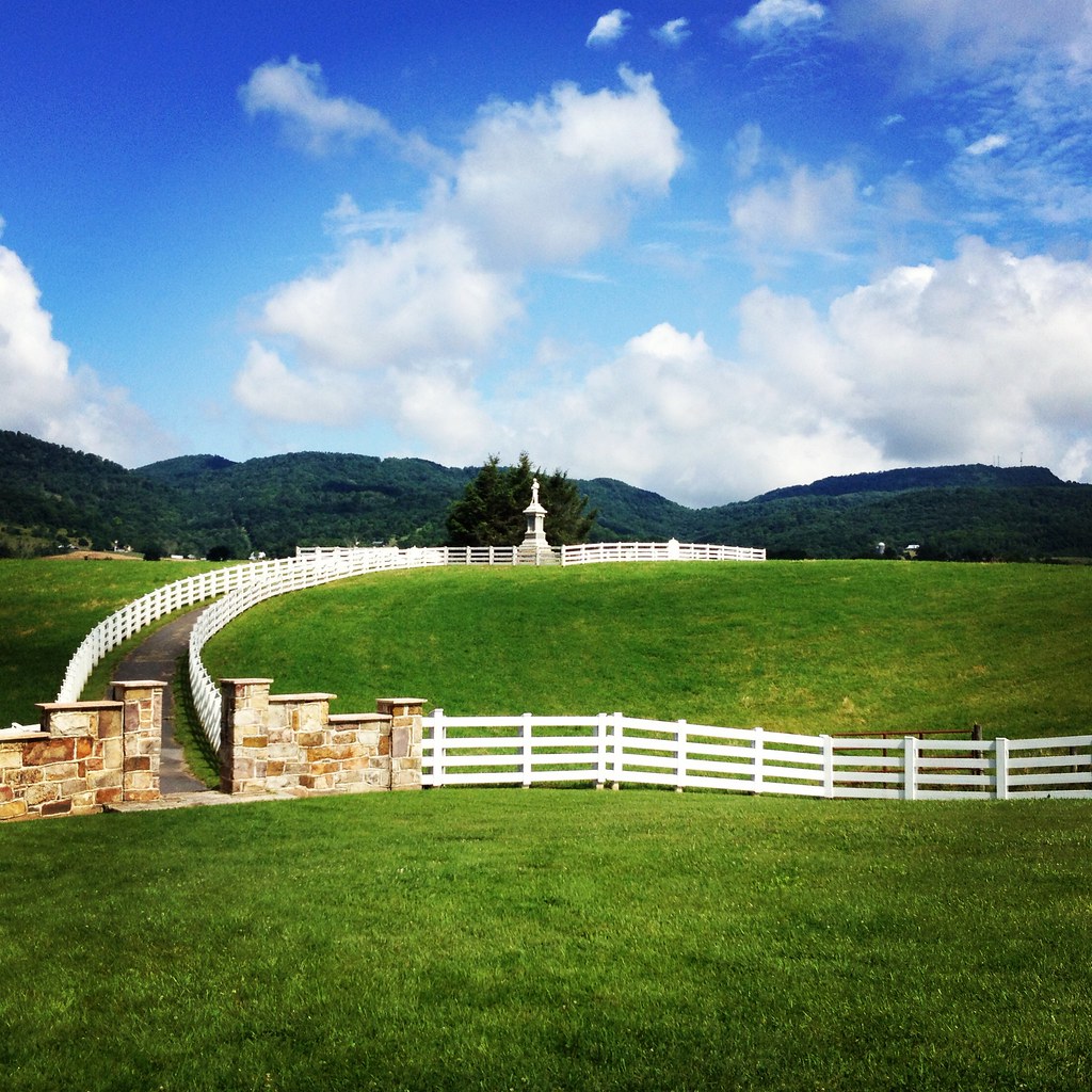
Confederate Monument, Union, Monrow County, WV

Rehoboth Church Cemetery
Virginia: Jefferson National Forest

Monroe County
2013.11.08.27 West Virginia
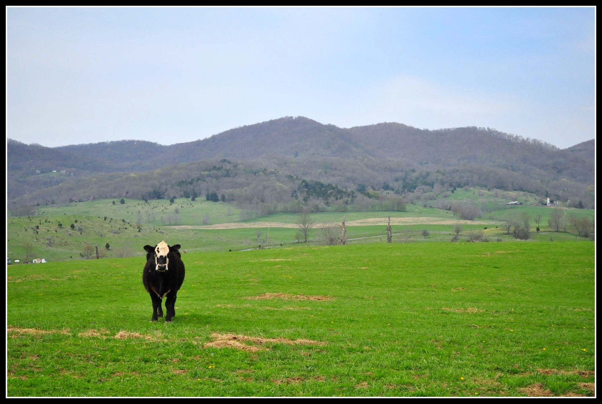
Moo cow
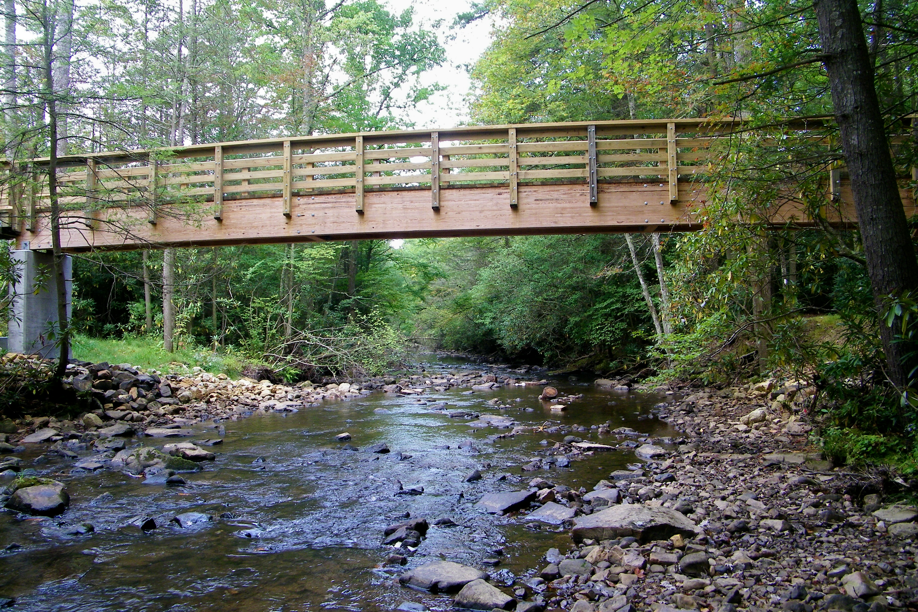
Appalachian Trail foot bridge over Stony Creek
drops-es
Topographic Map of Seneca Trail S, Union, WV, USA
Find elevation by address:

Places near Seneca Trail S, Union, WV, USA:
Walnut Knob
Lillydale-Back Creek Rd, Greenville, WV, USA
4339 Laurel Creek Rd
Greenville, WV, USA
Monroe County
Central
Laurel Creek Road
15 Laurel Creek Rd
Knobs Rd, Union, WV, USA
Greenville
9950 Zenith Rd
Union, WV, USA
Boyd Road
Dunkard Church Road
Dunkard Church Road
Dunkard Church Road
All Smiles Photography
Lindside
1595 Wayside Creamery Rd
2133 Co Rd 7
Recent Searches:
- Elevation of Corso Fratelli Cairoli, 35, Macerata MC, Italy
- Elevation of Tallevast Rd, Sarasota, FL, USA
- Elevation of 4th St E, Sonoma, CA, USA
- Elevation of Black Hollow Rd, Pennsdale, PA, USA
- Elevation of Oakland Ave, Williamsport, PA, USA
- Elevation of Pedrógão Grande, Portugal
- Elevation of Klee Dr, Martinsburg, WV, USA
- Elevation of Via Roma, Pieranica CR, Italy
- Elevation of Tavkvetili Mountain, Georgia
- Elevation of Hartfords Bluff Cir, Mt Pleasant, SC, USA