Elevation of Union, WV, USA
Location: United States > West Virginia > Monroe County > Central > Union >
Longitude: -80.566065
Latitude: 37.5795369
Elevation: 605m / 1985feet
Barometric Pressure: 94KPa
Elevation Map:
Satellite Map:
Related Photos:

Quilt Pattern Barn - No Fishing

Cooks Run Barn_Wide

Cooks Mill Wheel

Quilt Pattern Barn with Clouds_BW
Indian Creek Barn
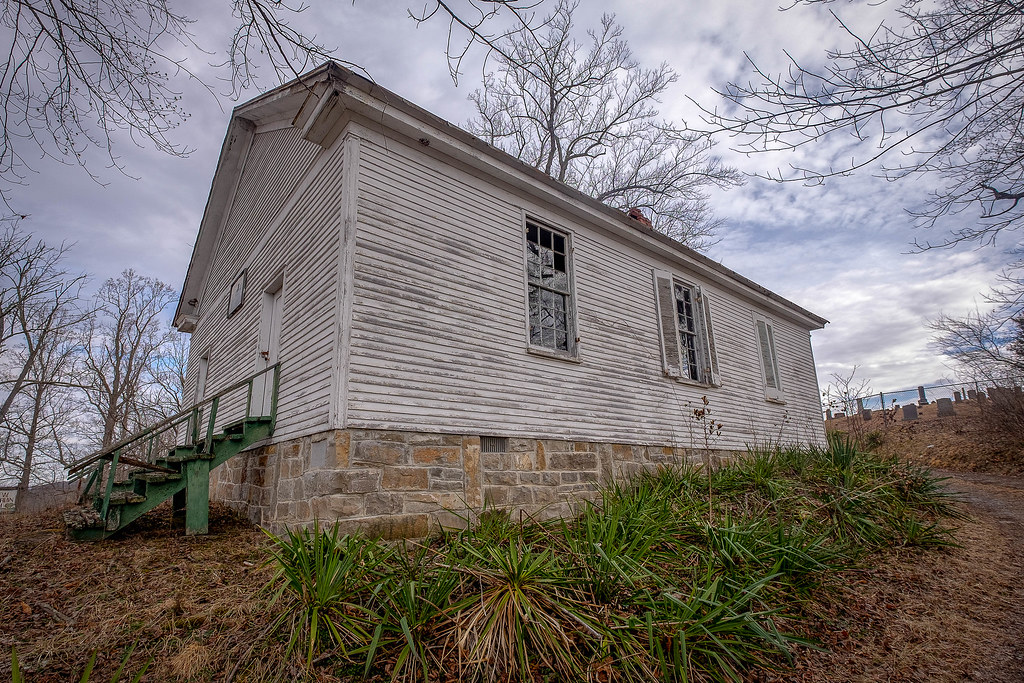
River View Church

Rock Camp General Store

Cook's Mill - West Virginia
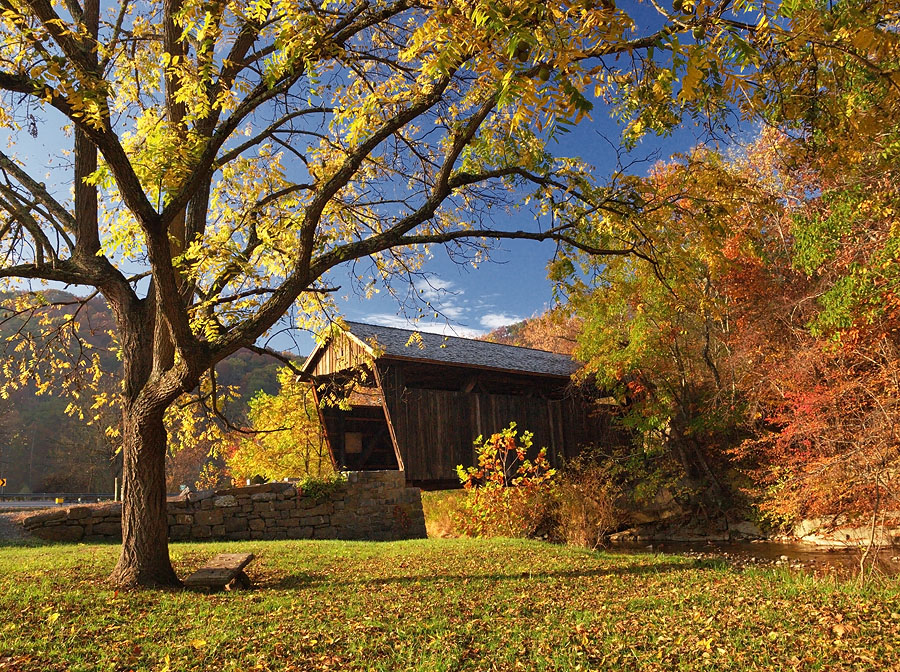
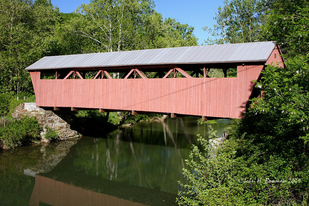
Indian Creek Covered Bridge
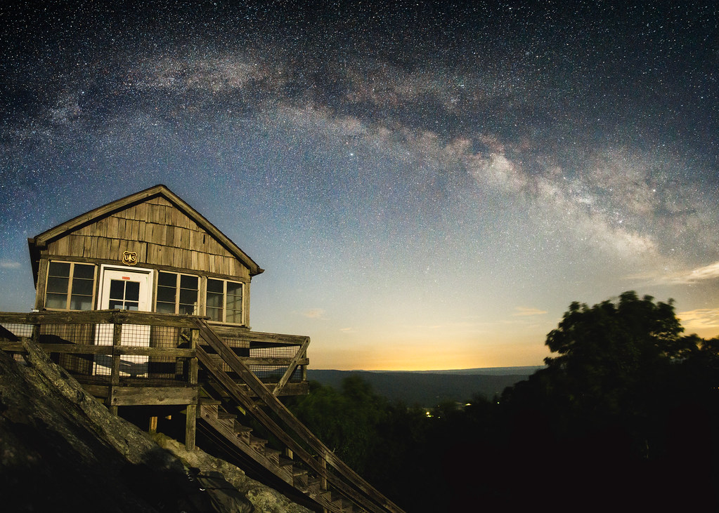
Hanging Rock Raptor Observatory

Hokes Mill Bridge 2
Hokes Mill Bridge

Past the point of no return

Indian Creek Bridge 2 - West Virginia

Laurel Creek Bridge - West Virginia
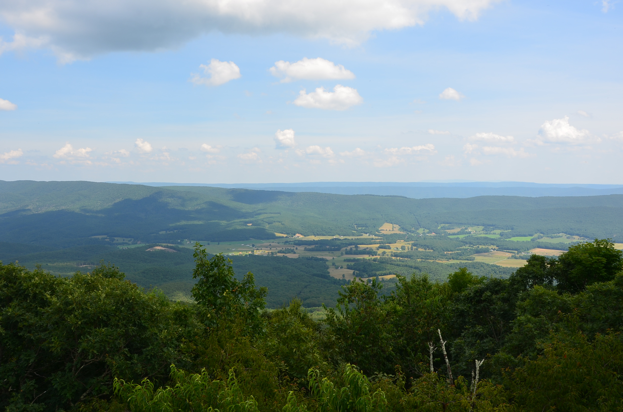
Above the ridge

Hanging Rock panorama

View Southeast from Greenville, WV

View from Confederate Monument, Monroe County, WV

10/22/2016 So I drove to here from Salem, VA not knowing I would end up in West Virginia. From the Hanging Rock Allegheny trail parking lot it's about a mile of fairly easy climb to the top. The views are just spectacular up there. The observatory is open

10/22/2016 One of the views to the NE from Hanging Rock Observatory #hangingrock #wv #westvirginia #wvwildandwonderful #waitevillewv #alleghenytrail #raptorobservatory #hangingrockobservatory #fall2016 #wvfall #explorewv #lovewv #visitwv #instafotoameric

Mill and Daffodil

Mill, Irises and Clouds

Wolf Creek Church_BW

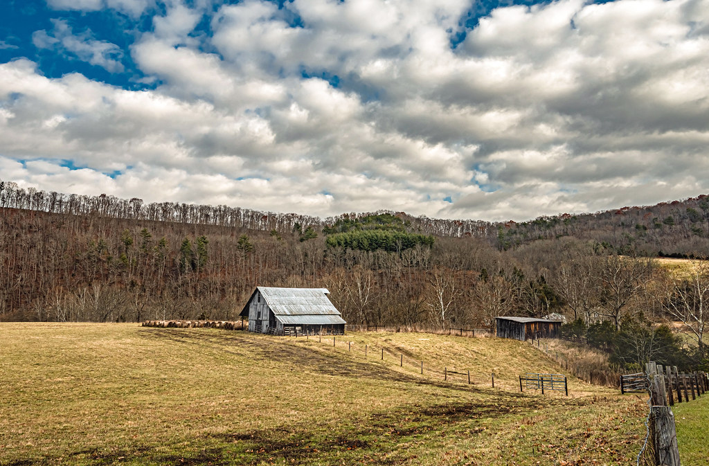
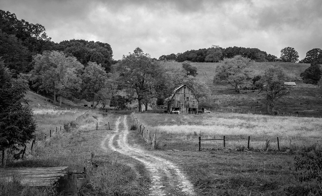
Greenville Farm_BW

Quilt Barn_BW

Greenville Farm
Barn on Cook's Run

Farmhouse on Flat Mountain (1 of 2)

Farm on Cook's Run_BW

West Virginia Farm_BW

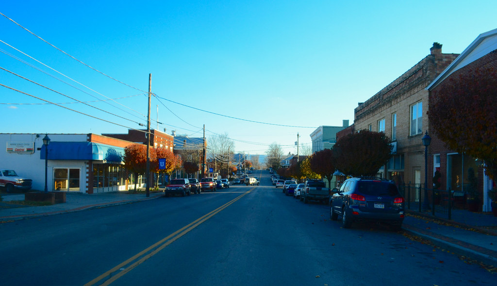
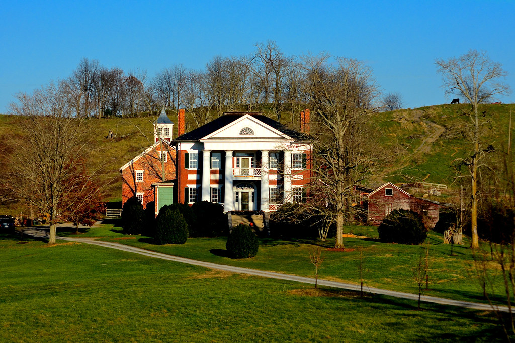
Old Mansion in Union, WV
2013.11.08.27 West Virginia
2013.11.08.20 West Virginia

Hanging Rock Stair Trails

Farmhouse on Flat Mountain (2 of 2)

Hiking at dawn
Topographic Map of Union, WV, USA
Find elevation by address:

Places near Union, WV, USA:
Union
Monroe County
Central
Knobs Rd, Union, WV, USA
Lillydale-Back Creek Rd, Greenville, WV, USA
Co Rd 13/1, Union, WV, USA
4339 Laurel Creek Rd
Hillsdale Toll Gate Road
Walnut Knob
Knobs Rd, Union, WV, USA
Seneca Trail S, Union, WV, USA
Laurel Creek Road
9950 Zenith Rd
Greenville, WV, USA
Boyd Road
Peters Mountain
15 Laurel Creek Rd
Wayside Creamery Road
1595 Wayside Creamery Rd
Greenville
Recent Searches:
- Elevation of Corso Fratelli Cairoli, 35, Macerata MC, Italy
- Elevation of Tallevast Rd, Sarasota, FL, USA
- Elevation of 4th St E, Sonoma, CA, USA
- Elevation of Black Hollow Rd, Pennsdale, PA, USA
- Elevation of Oakland Ave, Williamsport, PA, USA
- Elevation of Pedrógão Grande, Portugal
- Elevation of Klee Dr, Martinsburg, WV, USA
- Elevation of Via Roma, Pieranica CR, Italy
- Elevation of Tavkvetili Mountain, Georgia
- Elevation of Hartfords Bluff Cir, Mt Pleasant, SC, USA