Elevation of Peters Mountain, Peters Mtn, Eastern, VA, USA
Location: United States > West Virginia > Monroe County > Central > Union >
Longitude: -80.525
Latitude: 37.4766666
Elevation: 1235m / 4052feet
Barometric Pressure: 87KPa
Elevation Map:
Satellite Map:
Related Photos:
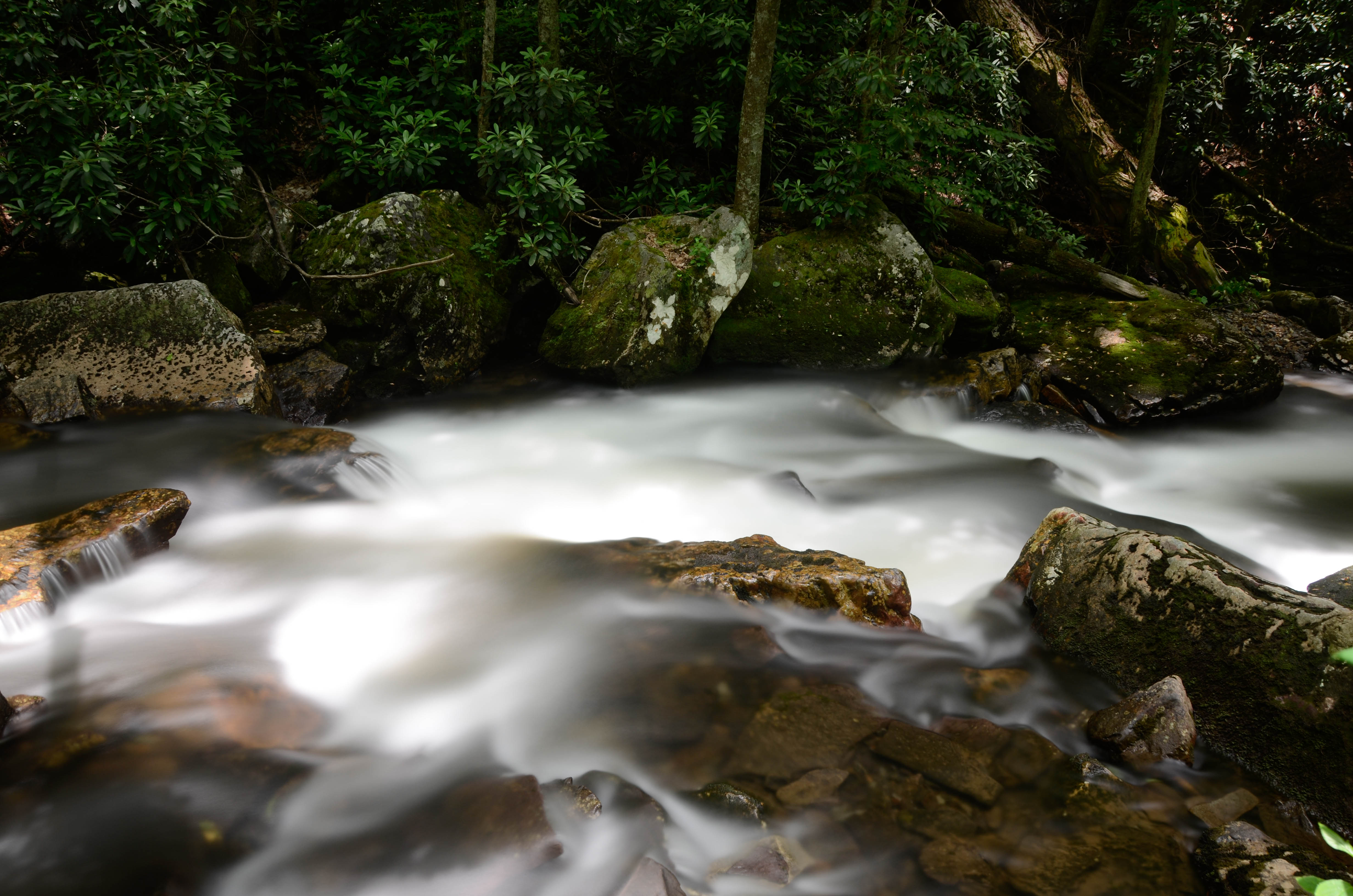
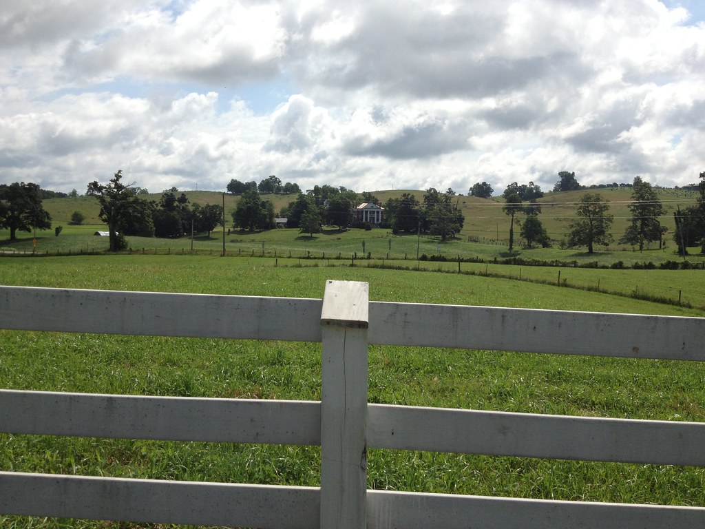
Little Stony Creek

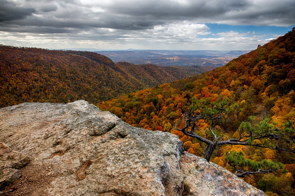
Lookoff Rock
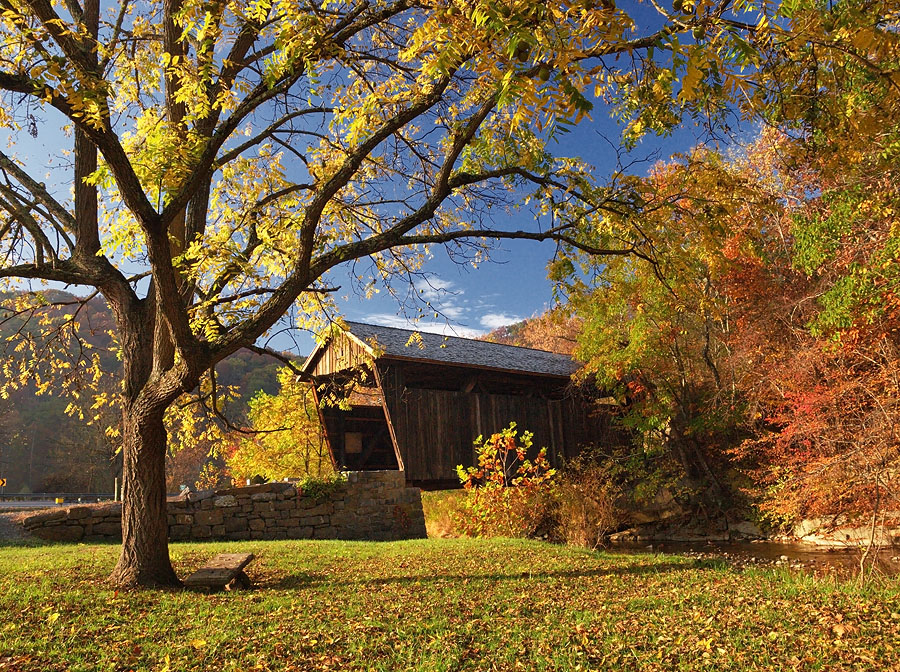
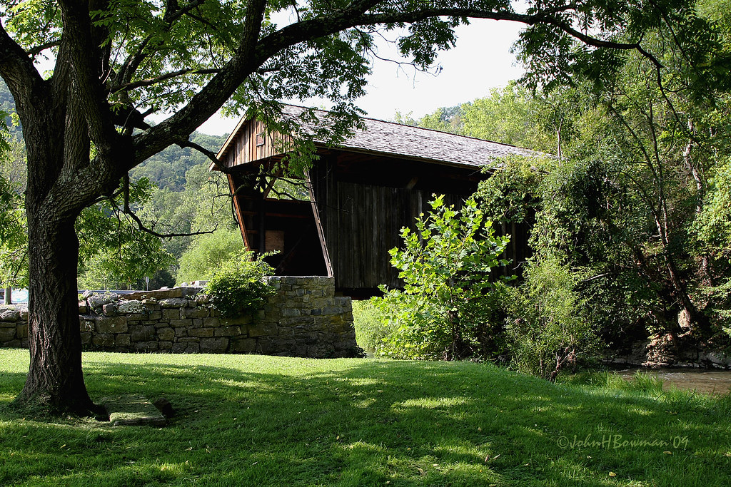
Indian Creek Covered Bridge

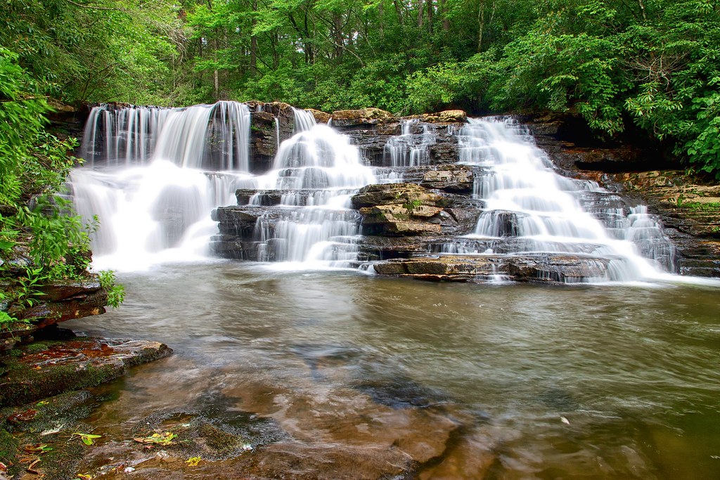
Little Stony Creek II

Bald Knob Sunset Overlook

Mountain Lake Overlook
West Virginia, Mountain Momma
Mountain Lake Overlook

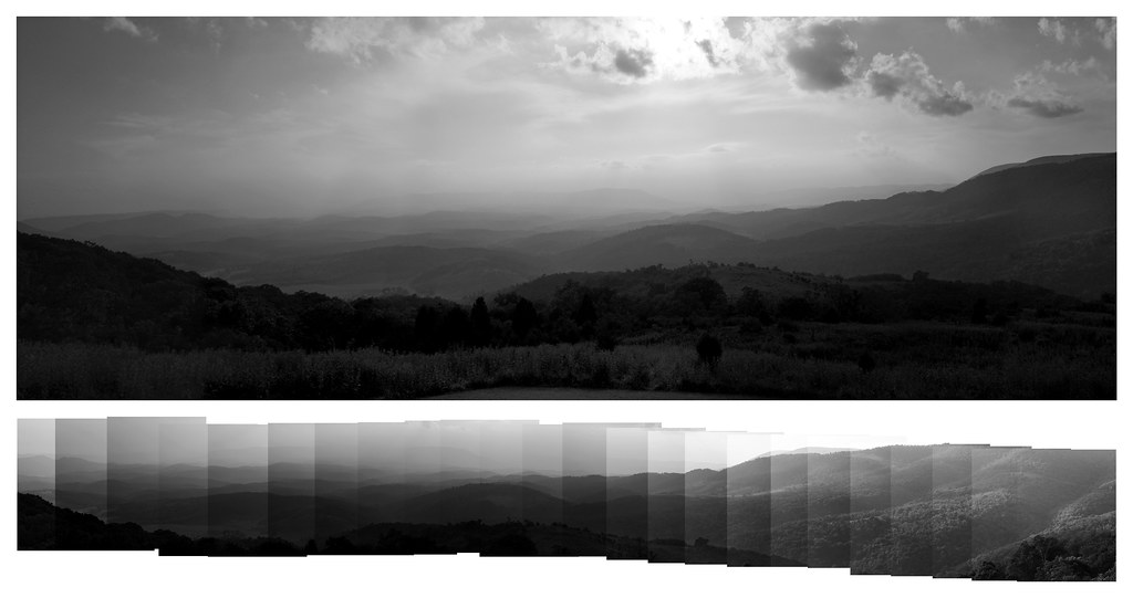
Western Sky
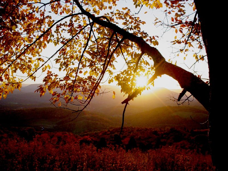
Autumn Sunset
Nature's Canvas
Ephimeral Frame
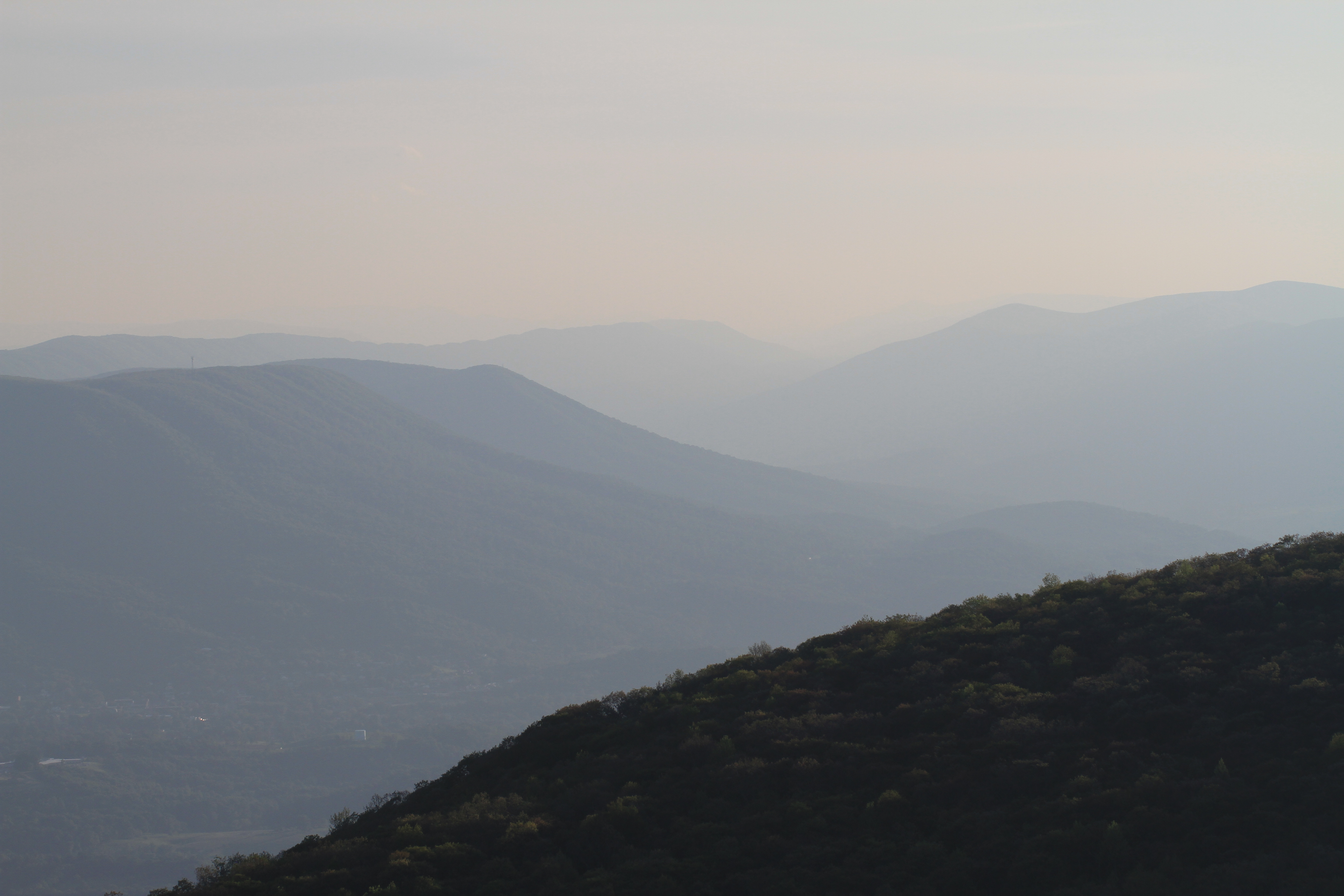
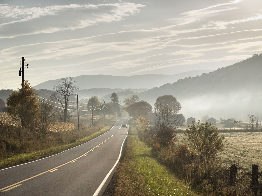
View over Pembroke
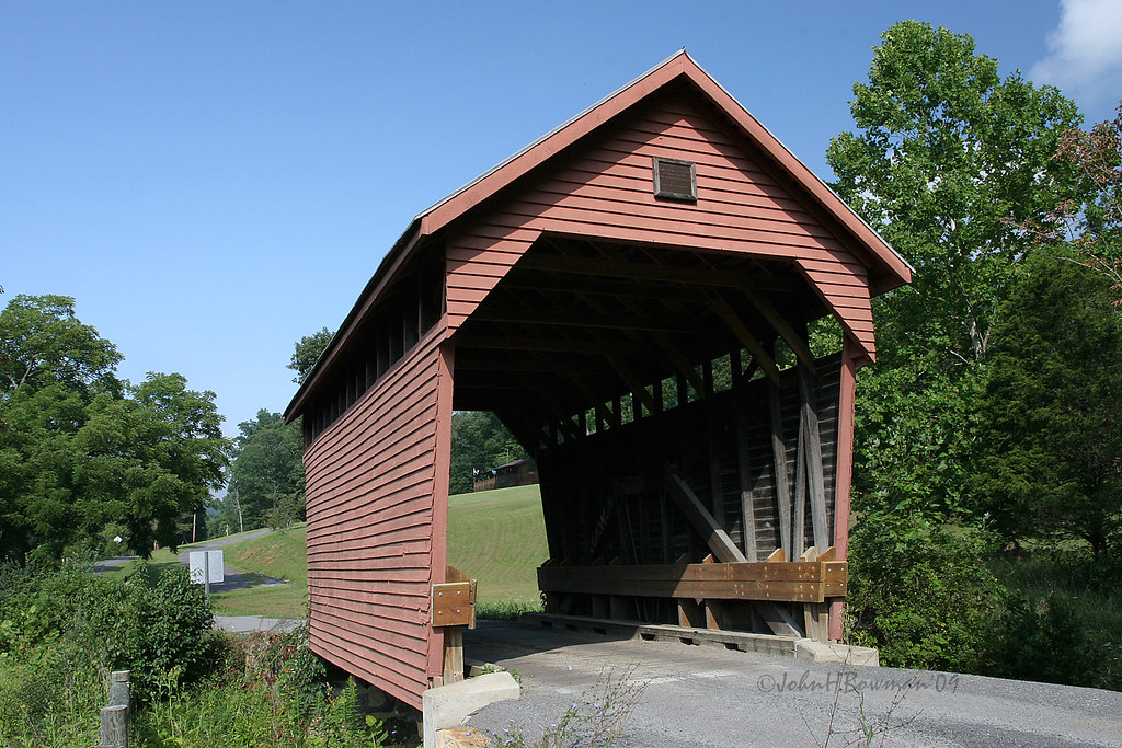
Indian Creek Bridge 2 - West Virginia
Laurel Creek Bridge - West Virginia
View from Barney's wall

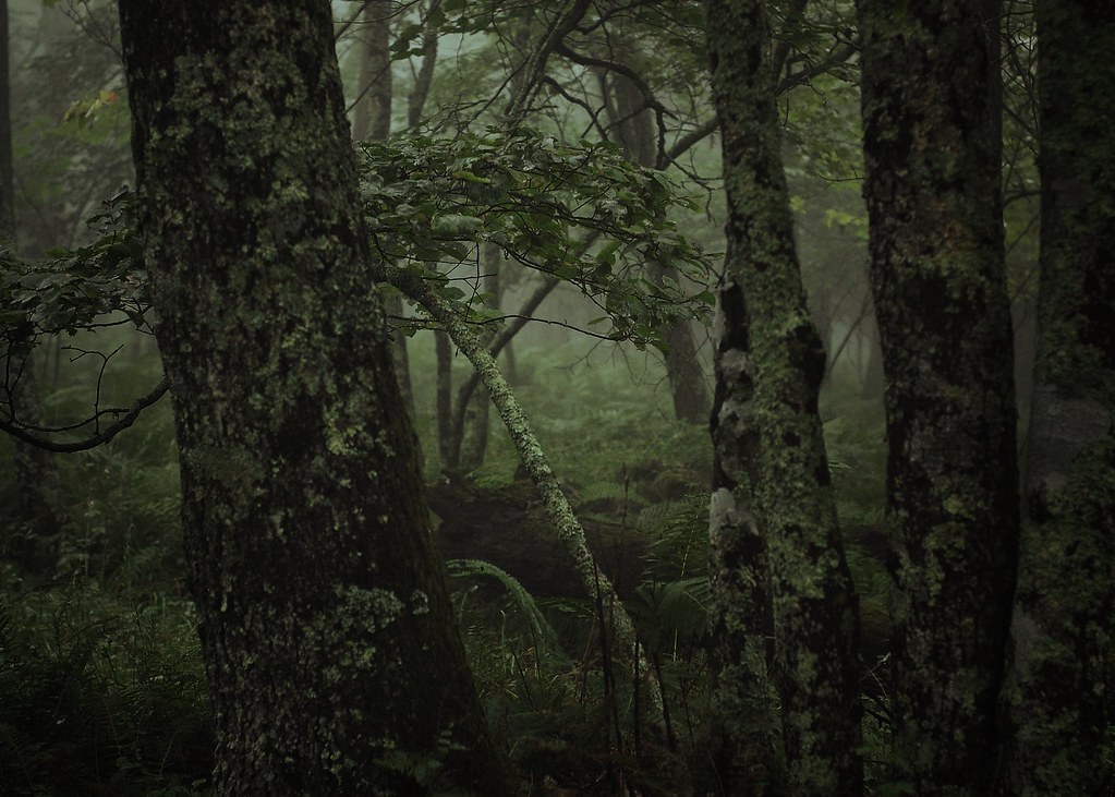
Wind Rock Trees
View from Gas Station Bathroom
View from Confederate Monument, Monroe County, WV
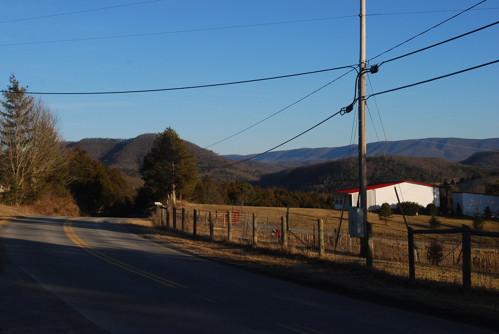
View Southeast from Greenville, WV
War Spur Overlook

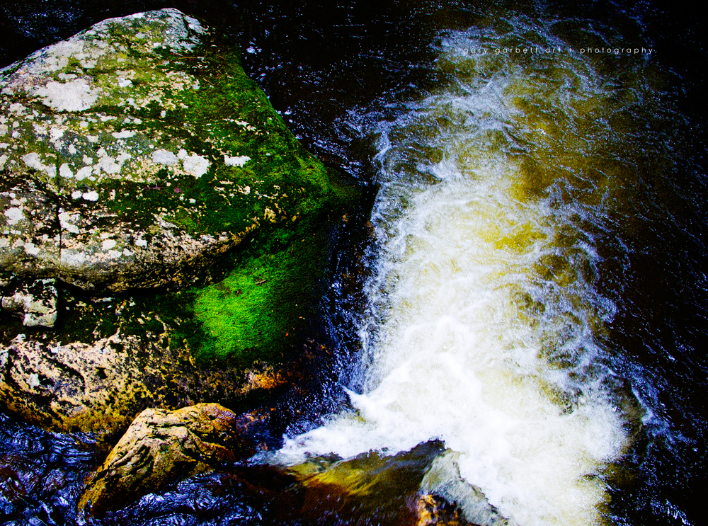
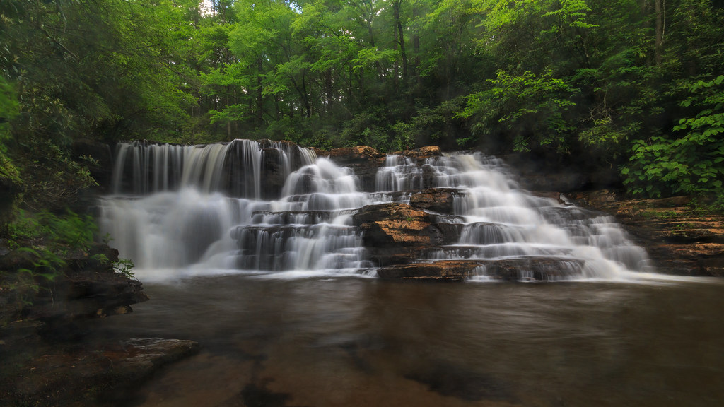
Little Stony Creek
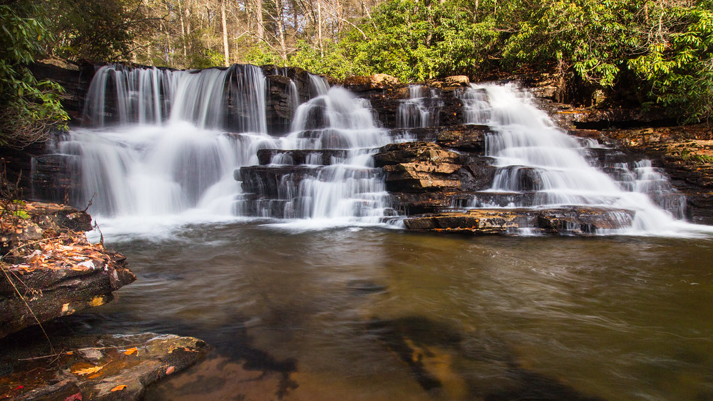
Upper Cascades Falls
Upper Cascades
Barney's Wall
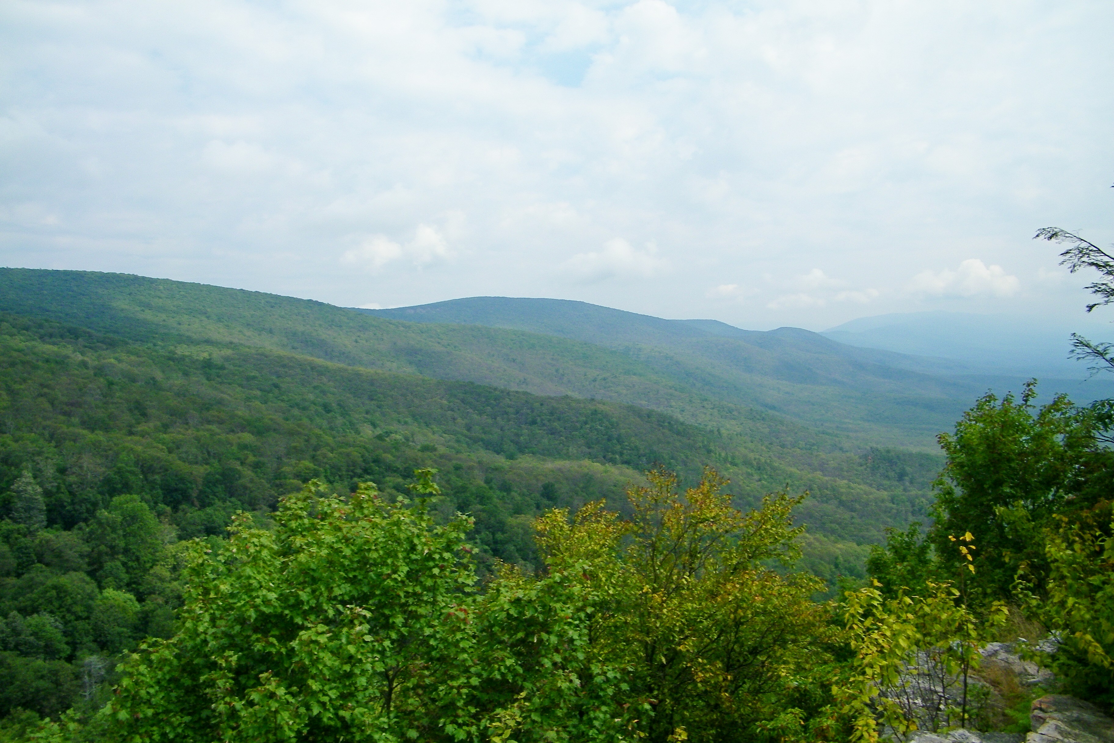
Blue Ridge Mountains

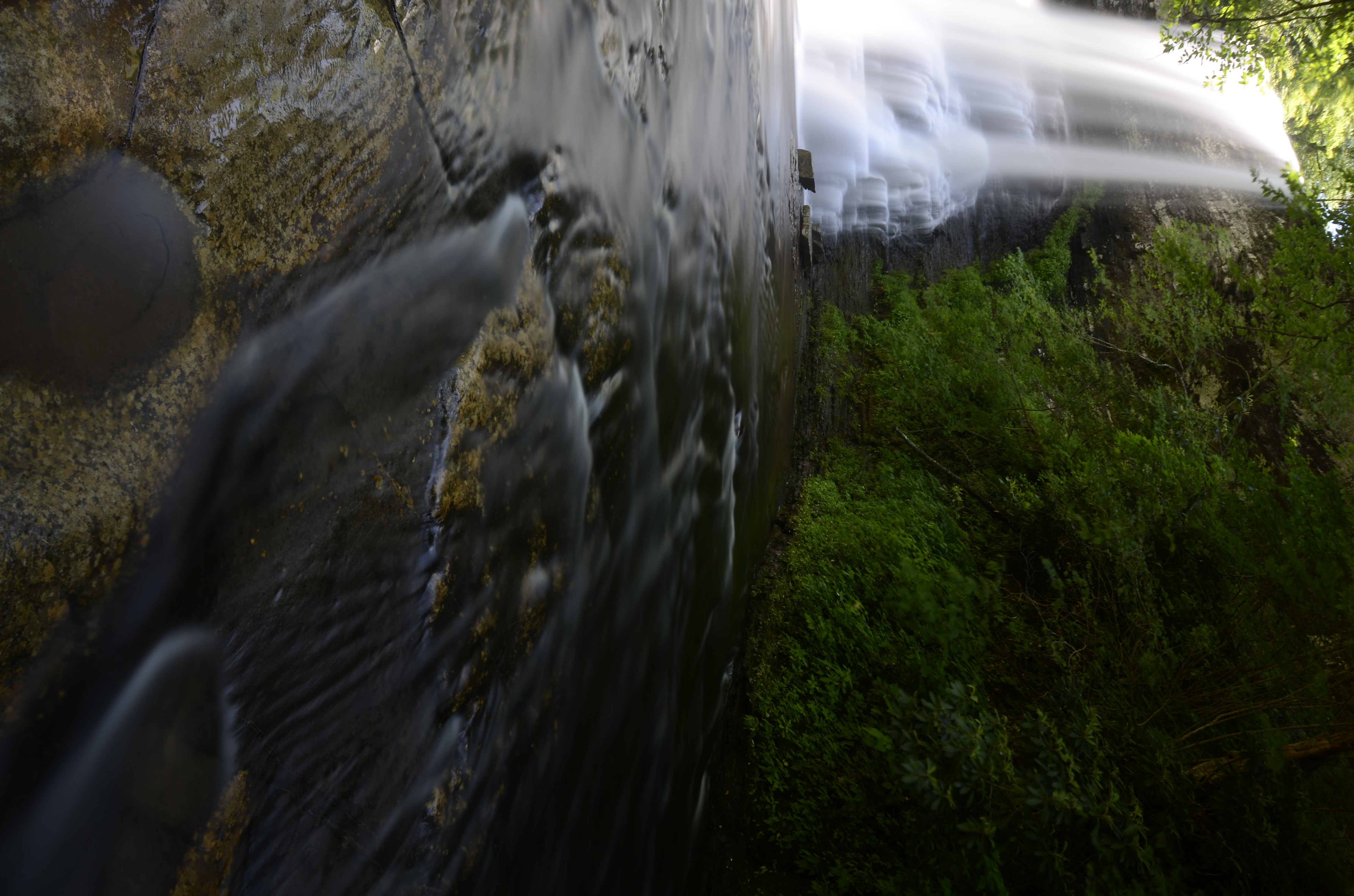
Icy Falls

Stars Over the Cascades
Upper Falls - Cascades, Pembroke, Giles Co., Virginia

Cascades Waterfall

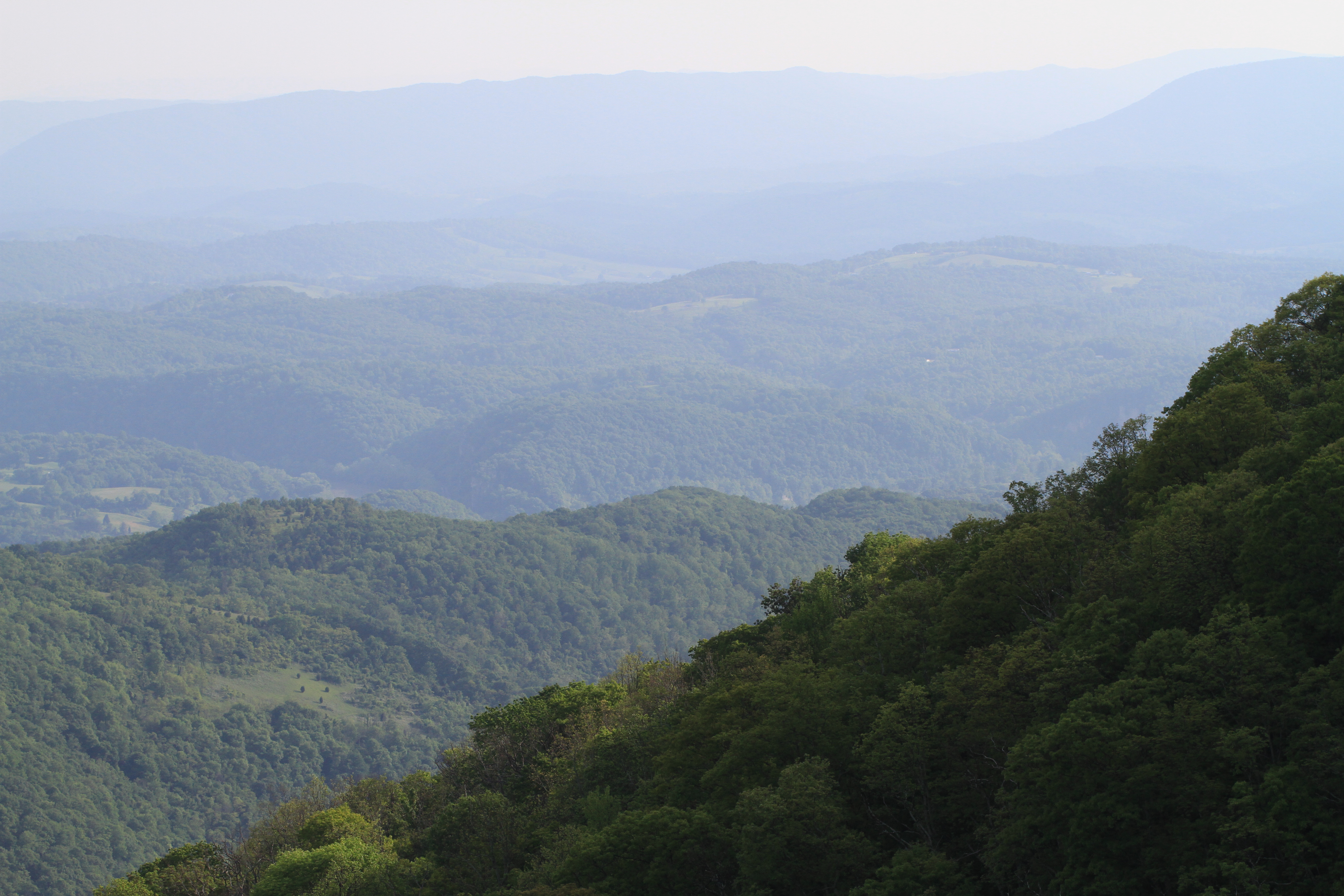
Blue Ridge Mountains

Shooting Sunset
Cascades Falls

soft shock

chasing light
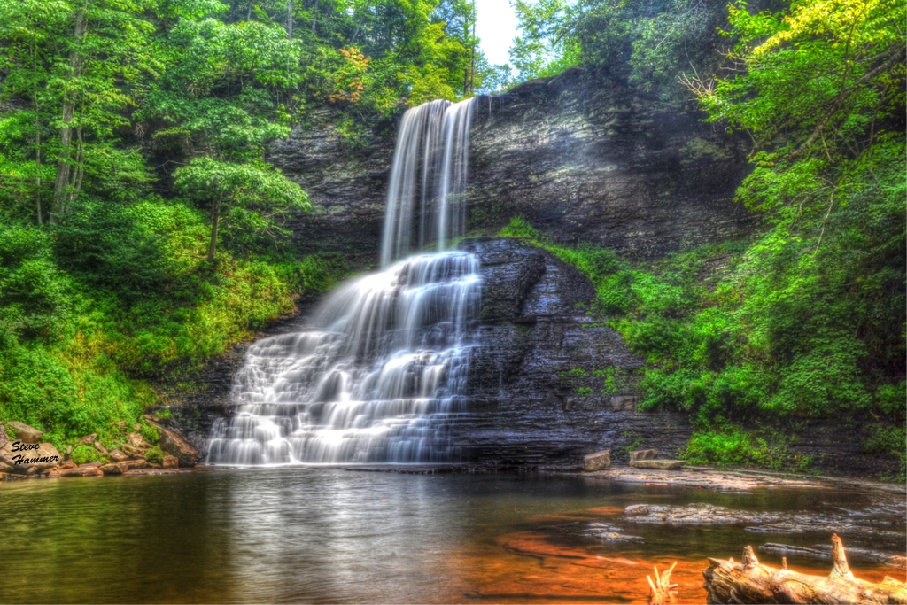
The Cascades - Giles County, VA
Topographic Map of Peters Mountain, Peters Mtn, Eastern, VA, USA
Find elevation by address:

Places near Peters Mountain, Peters Mtn, Eastern, VA, USA:
9950 Zenith Rd
Co Rd 13/1, Union, WV, USA
Seneca Trail S, Union, WV, USA
Monroe County
Central
Walnut Knob
Union, WV, USA
Union
Lillydale-Back Creek Rd, Greenville, WV, USA
4339 Laurel Creek Rd
Hillsdale Toll Gate Road
Dunkard Church Road
Dunkard Church Road
Dunkard Church Road
Lindside
All Smiles Photography
Greenville, WV, USA
Laurel Creek Road
Knobs Rd, Union, WV, USA
Knobs Rd, Union, WV, USA
Recent Searches:
- Elevation of Corso Fratelli Cairoli, 35, Macerata MC, Italy
- Elevation of Tallevast Rd, Sarasota, FL, USA
- Elevation of 4th St E, Sonoma, CA, USA
- Elevation of Black Hollow Rd, Pennsdale, PA, USA
- Elevation of Oakland Ave, Williamsport, PA, USA
- Elevation of Pedrógão Grande, Portugal
- Elevation of Klee Dr, Martinsburg, WV, USA
- Elevation of Via Roma, Pieranica CR, Italy
- Elevation of Tavkvetili Mountain, Georgia
- Elevation of Hartfords Bluff Cir, Mt Pleasant, SC, USA