Elevation of Laurel Creek Rd, Union, WV, USA
Location: United States > West Virginia > Monroe County > Central > Union >
Longitude: -80.61547
Latitude: 37.560911
Elevation: 600m / 1968feet
Barometric Pressure: 0KPa
Related Photos:

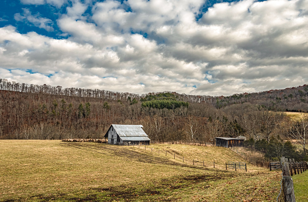
Cooks Run Barn_Wide

Cooks Mill Wheel

Quilt Pattern Barn with Clouds_BW
Indian Creek Barn
River View Church

Rock Camp General Store

Happies Wide

West Virginia, Mountain Momma
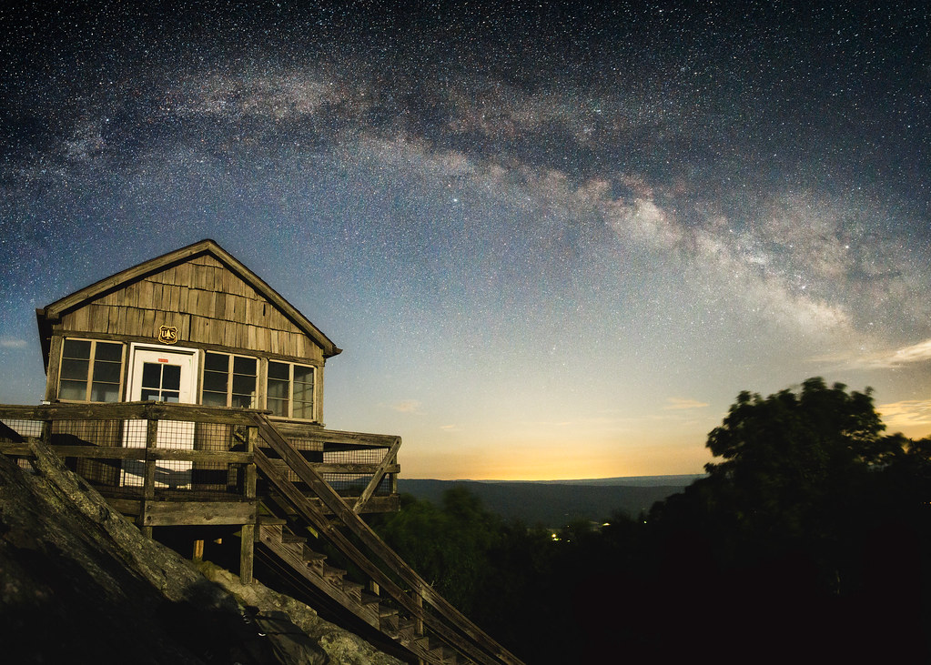
Hanging Rock Raptor Observatory

Laurel Creek Bridge - West Virginia

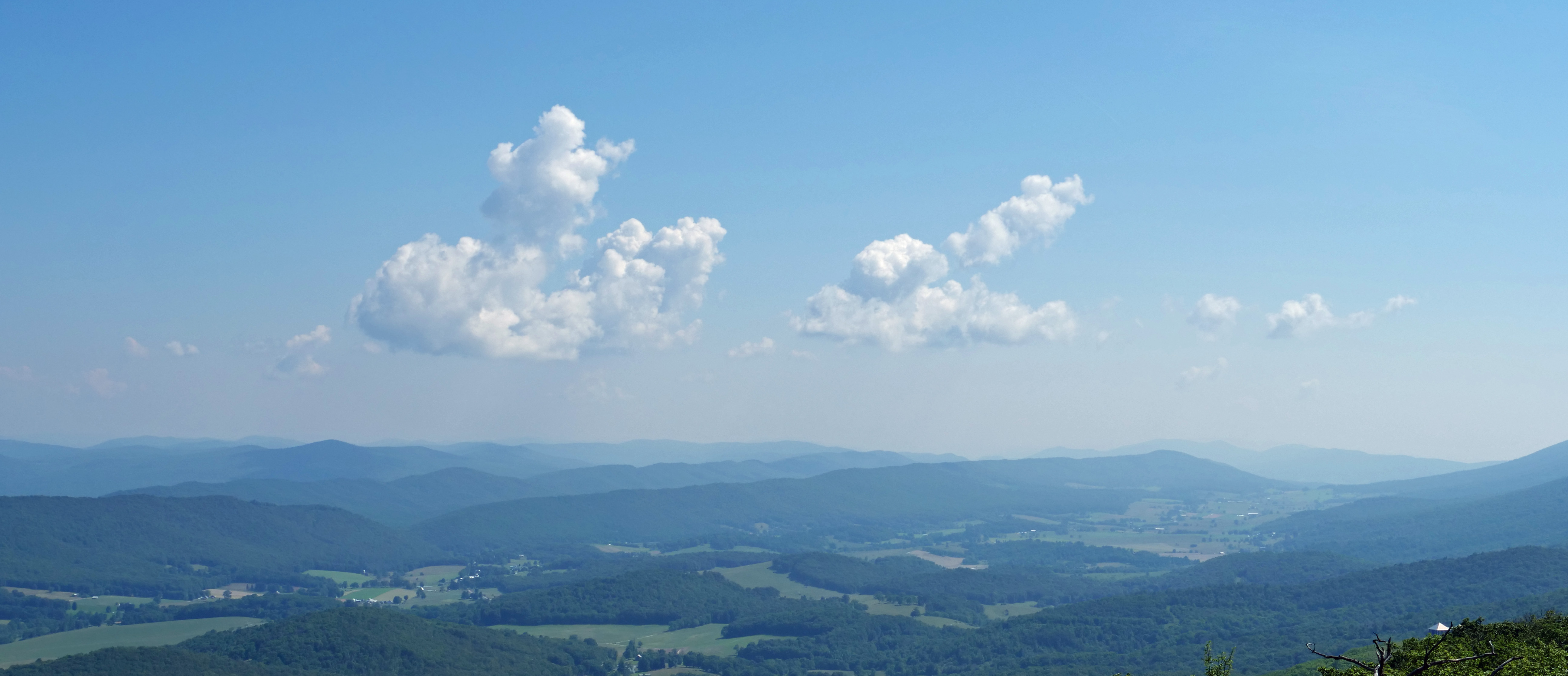
Hanging Rock panorama

View from Gas Station Bathroom

Crossing the Greenbrier River in the winter
Above the ridge
Hanging Rock 2

Hanging Rock 1

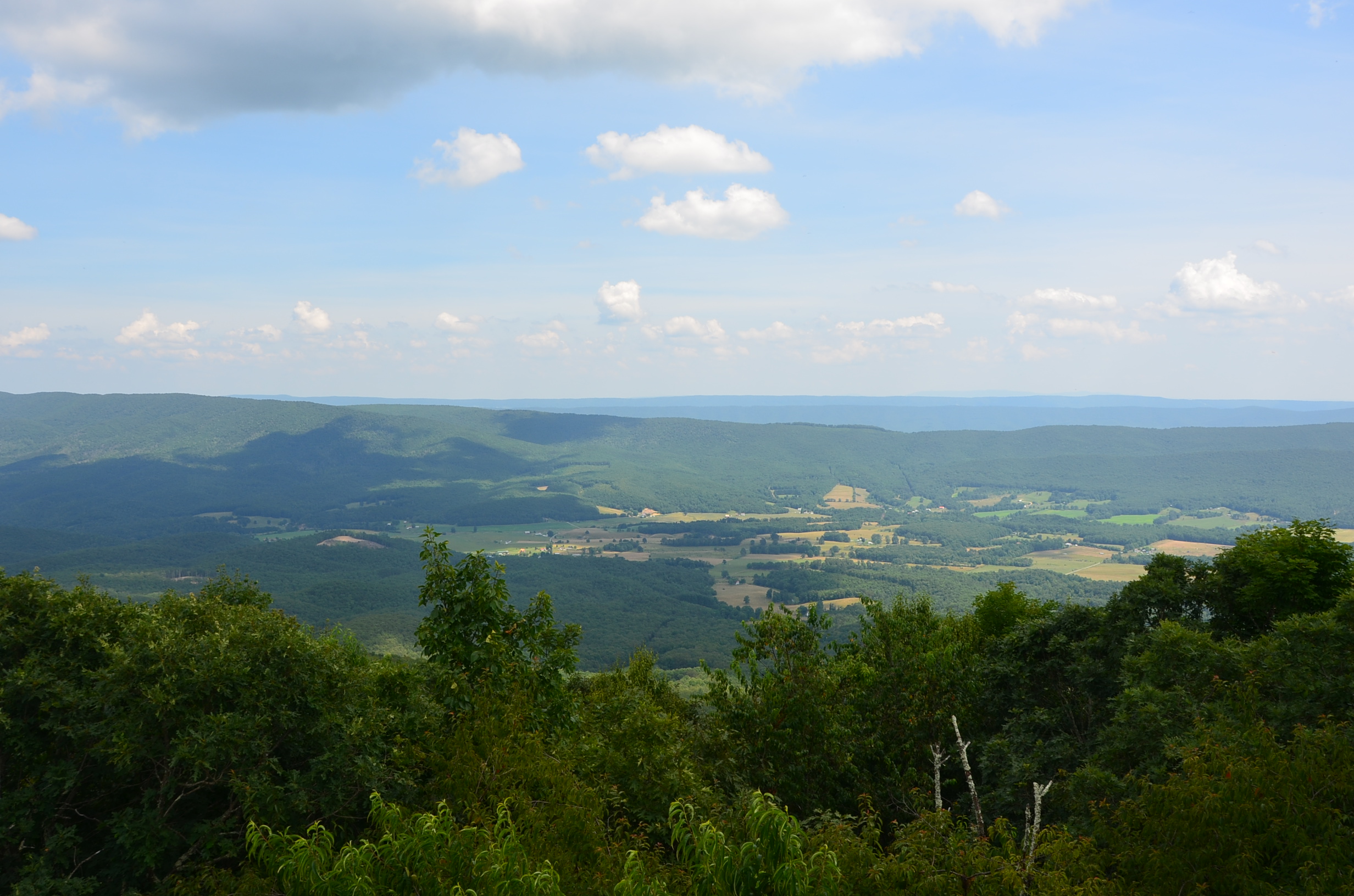
View Southeast from Greenville, WV

Crossing an ice-choked Greenbrier River.
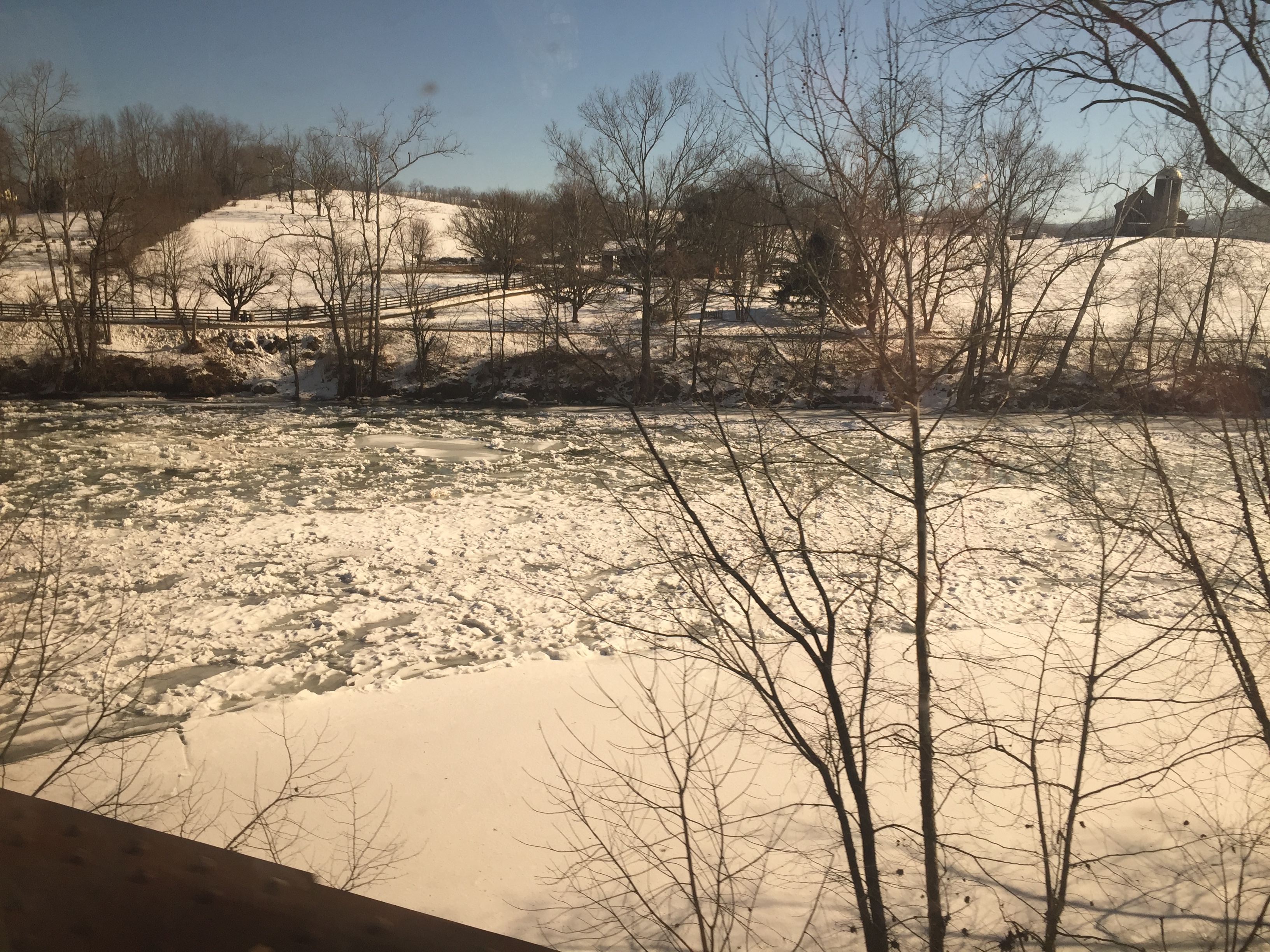
Crossing the Greenbrier River in the winter

Crossing the Greenbrier River in the winter

West Virginia: Summers County

Mill and Daffodil

House on Indian Creek, Oct 1, 2020
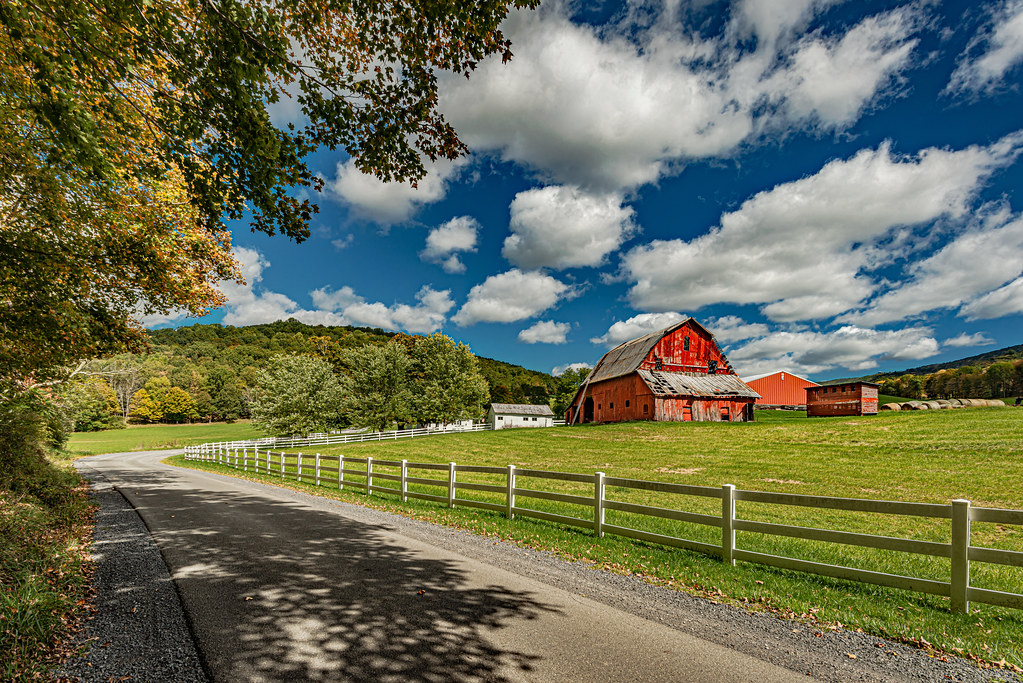
Red Barn on Zenith Road

Mill, Irises and Clouds

Red Barn on Zenith Road

Valley Baptist Church

Mennonite Country_BW

Wolf Creek Church_BW

Square Farm House_BW

Quilt Barn_BW

Greenville Farm_BW

Keller Church _BW

Hanging Rock Stair Trails
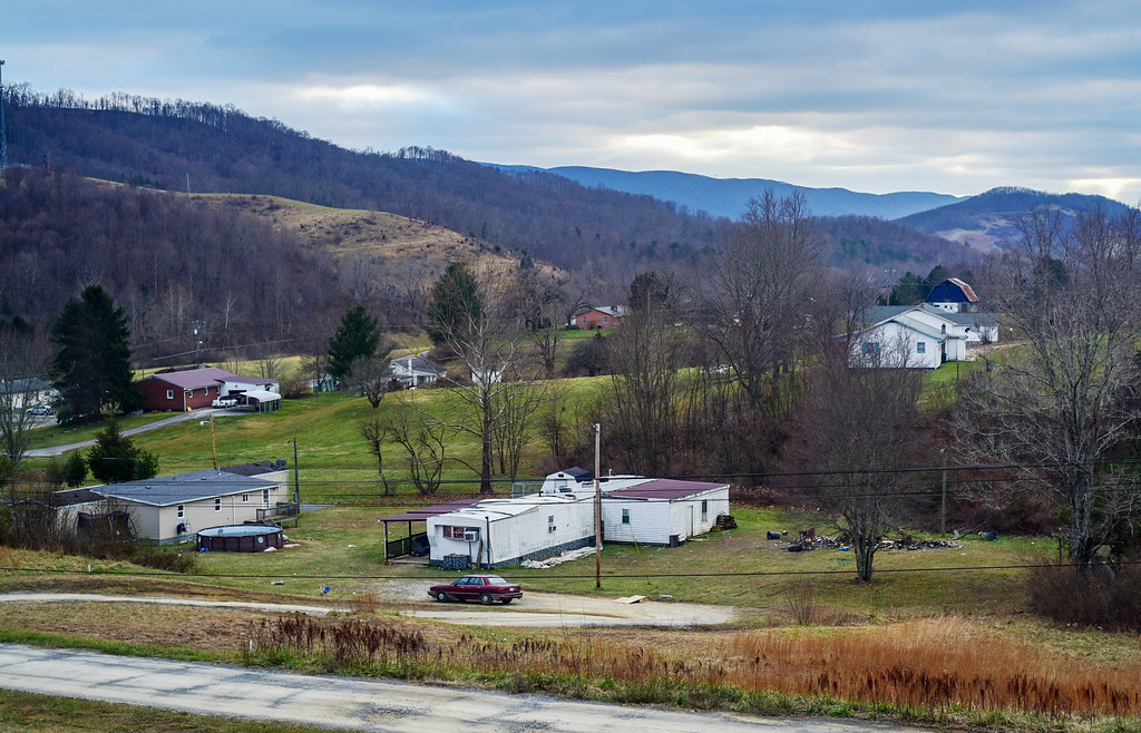
Small town, WV

Greenville Farm
Barn on Cook's Run

Farm on Cook's Run_BW

West Virginia Farm_BW
Topographic Map of Laurel Creek Rd, Union, WV, USA
Find elevation by address:

Places near Laurel Creek Rd, Union, WV, USA:
Lillydale-Back Creek Rd, Greenville, WV, USA
Monroe County
Central
Laurel Creek Road
Walnut Knob
Knobs Rd, Union, WV, USA
Seneca Trail S, Union, WV, USA
Greenville, WV, USA
Union, WV, USA
Boyd Road
Knobs Rd, Union, WV, USA
15 Laurel Creek Rd
Greenville
1595 Wayside Creamery Rd
2133 Co Rd 7
Union
Wayside Creamery Road
Wayside
9950 Zenith Rd
Co Rd 13/1, Union, WV, USA
Recent Searches:
- Elevation of Clifton Down, Clifton, Bristol, City of Bristol, England, BS8 3HU, United Kingdom
- Elevation map of Auvergne-Rhône-Alpes, France
- Elevation map of Upper Savoy, Auvergne-Rhône-Alpes, France
- Elevation of Chamonix-Mont-Blanc, Upper Savoy, Auvergne-Rhône-Alpes, France
- Elevation of 908, Northwood Drive, Bridge Field, Chesapeake, Virginia, 23322, USA
- Elevation map of Nagano Prefecture, Japan
- Elevation of 587, Bascule Drive, Oakdale, Stanislaus County, California, 95361, USA
- Elevation of Stadion Wankdorf, Sempachstrasse, Breitfeld, Bern, Bern-Mittelland administrative district, Bern, 3014, Switzerland
- Elevation of Z024, 76, Emil-von-Behring-Straße, Marbach, Marburg, Landkreis Marburg-Biedenkopf, Hesse, 35041, Germany
- Elevation of Gaskill Road, Hunts Cross, Liverpool, England, L24 9PH, United Kingdom
- Elevation of Speke, Liverpool, England, L24 9HD, United Kingdom
- Elevation of Seqirus, 475, Green Oaks Parkway, Holly Springs, Wake County, North Carolina, 27540, USA
- Elevation of Pasing, Munich, Bavaria, 81241, Germany
- Elevation of 24, Auburn Bay Crescent SE, Auburn Bay, Calgary, Alberta, T3M 0A6, Canada
- Elevation of Denver, 2314, Arapahoe Street, Five Points, Denver, Colorado, 80205, USA
- Elevation of Community of the Beatitudes, 2924, West 43rd Avenue, Sunnyside, Denver, Colorado, 80211, USA
- Elevation map of Litang County, Sichuan, China
- Elevation map of Madoi County, Qinghai, China
- Elevation of 3314, Ohio State Route 114, Payne, Paulding County, Ohio, 45880, USA
- Elevation of Sarahills Drive, Saratoga, Santa Clara County, California, 95070, USA