Elevation of Hillsdale Toll Gate Road, Hillsdale Toll Gate Rd, Central, WV, USA

Location: United States > West Virginia > Monroe County > Central > Union >

Longitude: -80.511914

Latitude: 37.6100975

Elevation: 688m / 2257feet

Barometric Pressure: 93KPa

Elevation Map:

elevation map of Hillsdale Toll Gate Road, Hillsdale Toll Gate Rd, Central, WV, USA

Satellite Map:

Satellite map of Hillsdale Toll Gate Road, Hillsdale Toll Gate Rd, Central, WV, USA

Related Photos:

generalstore store rockcamp monroe nikon d750 bobbell
Rock Camp General Store
eso servicestation greenbrier lewisburg gas gasstation clouds sky bobbell xm1 fujifilm 7artisans12mmlens
Esso Station
road morning autumn red usa mist mountain tree fall nature leaves car yellow electric fog rural forest sunrise landscape outdoors fire leaf nc wire highway scenery view unitedstates south scenic utility cable southern westvirginia vista hamlet telefone attraction lpbridges
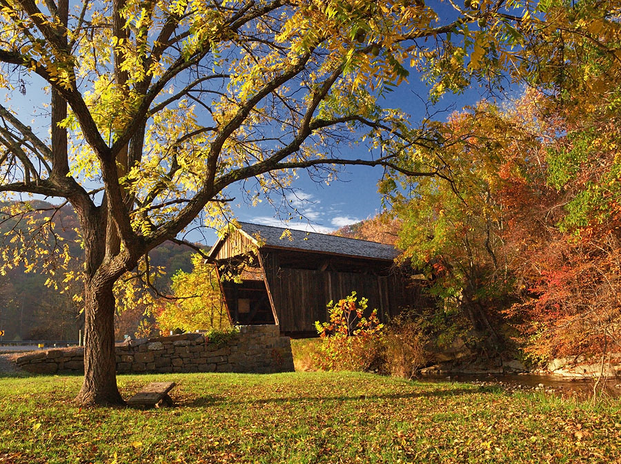
Indian Creek Covered Bridge
may explore westvirginia 2009 coveredbridges riversandstreams nrhp canon24105l greenbriercounty secondcreek may2009 westvirginiacoveredbridges hokesmillbridge longtrussvariant
Hokes Mill Bridge 2
may westvirginia 2009 coveredbridges riversandstreams nrhp canon24105l greenbriercounty secondcreek may2009 westvirginiacoveredbridges hokesmillbridge longtrussvariant
Hokes Mill Bridge
abandoned may westvirginia 2009 oldhouses canon24105l greenbriercounty
Past the point of no return
barns may oldbarns westvirginia weatheredwood 2009 tinroof rustyandcrusty mountainviews canon24105l greenbriercounty may2009 fencesgates westvirginiabarns
Out to pasture
industrial westvirginia transportation csx monroecountywv amtrakviews
Snowflake WV: West Virginia: Snowflake Quarry
august westvirginia 2009 coveredbridges indiancreek monroecounty riversandstreams nrhp canon24105l indiancreekbridge august2009 westvirginiacoveredbridges longtruss
Indian Creek Bridge 2 - West Virginia
august westvirginia 2009 laurelcreek coveredbridges monroecounty canon1740l riversandstreams queenposttruss nrhp august2009 westvirginiacoveredbridges laurelcreekbridge
Laurel Creek Bridge - West Virginia
summer nightshot august westvirginia 2009 trainstations canon24105l greenbriercounty ronceverte august2009
Ronceverte, West Virginia train station & tracks
westvirginia transportation csx amtrakviews railroadscenes greenbrierctywv
Fort Spring WV: One of Two Tunnels
westvirginia hangingrockraptorobservatory hangingrocktower alleghenytrail panorama movie
Hanging Rock panorama
westvirginia hangingrockraptorobservatory hangingrocktower alleghenytrail
Above the ridge
usa unitedstates westvirginia greenville
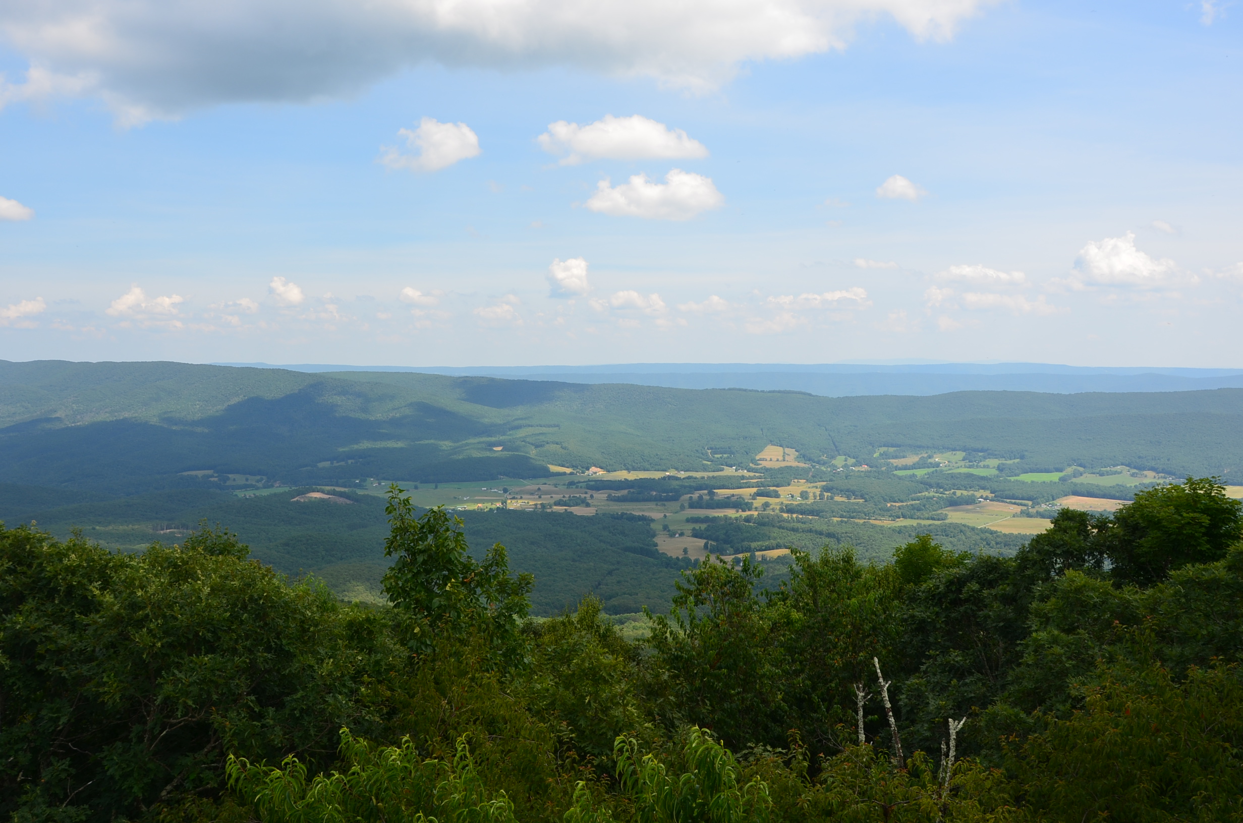
View Southeast from Greenville, WV
westvirginia
View from Confederate Monument, Monroe County, WV
amtrakviews greenbrierriver rivers greenbrierctywv westvirginia
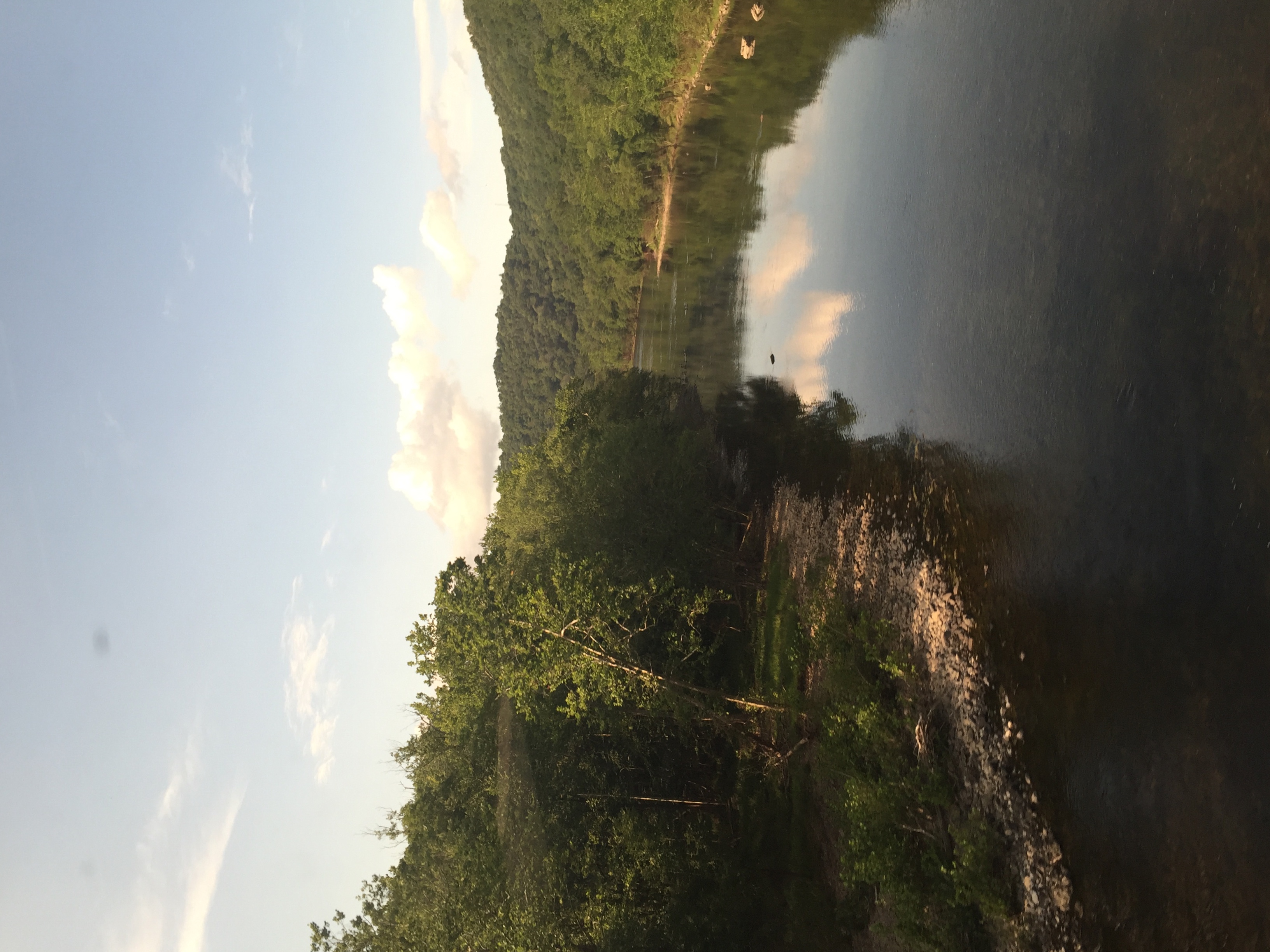
Crossing the Greenbrier in the summer
milky way long exposure hanging rock raptor observatory west virginia night time photography astrophotography astronomy summer appalachian mountains blue ridge jefferson national forest roanoke dark sky clear moonlight firewatch fire watch tower look out mountain top hiking camping sonya6000 samyangrokinon12mmf20 allegheny trail peters
Hanging Rock Raptor Observatory
panasoniclumixg9 panasonicg9 lumixg9 hangingrockraptorobservatory westvirginia panasoniclumixgleica1260mm
Hanging Rock 1
panasoniclumixg9 panasonicg9 lumixg9 hangingrockraptorobservatory westvirginia panasoniclumixgleica1260mm
Hanging Rock 2
panasoniclumixg9 panasonicg9 lumixg9 hangingrockraptorobservatory westvirginia panasoniclumixgleica1260mm
Hanging Rock 5
church abandoned abandonedchurch monroecounty wolfcreek monochrome bw nikon d800 wv westvirginia landscape trinitychurch carpentergothic gothic
Wolf Creek Church Explored)
chevy chevrolet truck antiquetruck classictruck smalltownsunset landscape union wv monroecounty bobbekk nikon d850
1952 Chevy in Union
barn redbarn farm mountains landscape clouds bobbell nikon d750 gapmills monroecounty
Gap Mills Barn (Explored)
coveredbridge laurelcreek road rural bobbell monroecounty nikon d850 winter weather landscape
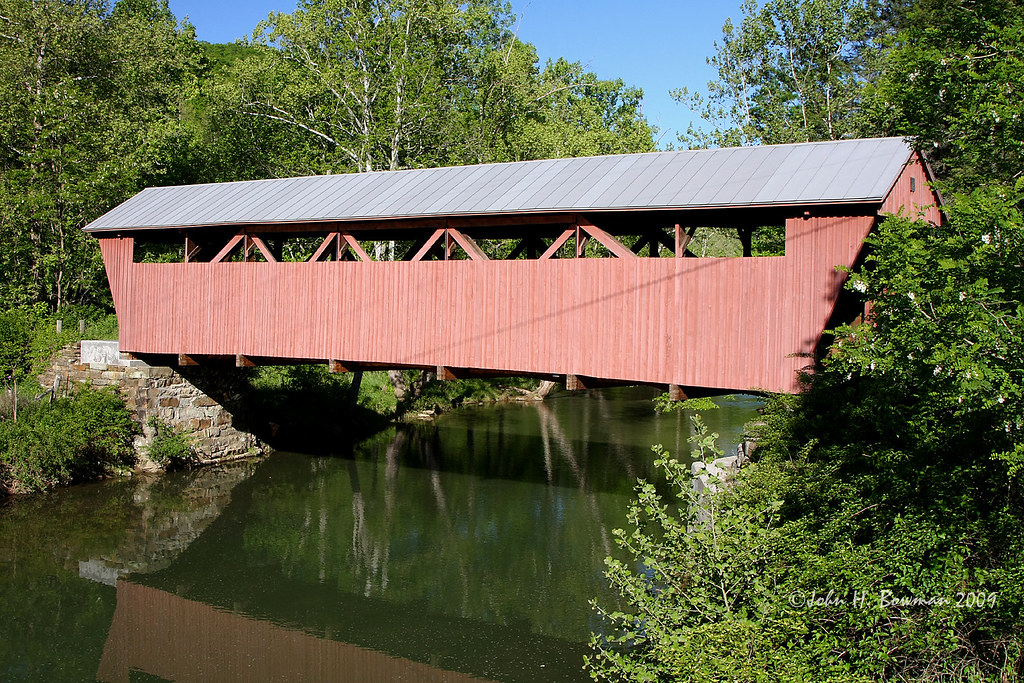
Laurel Creek Covered Bridge
barn redbarn farm fall clouds landscape ruraldecay bobbell nikon monroecounty wv westvirginia zenith autumn d800
Red Barn on Zenith Road
barn road ruralwinter landscape farm fence bobbell nikon d800 monroecounty wv westvirginia
Red Barn on Laurel Creek Road
church countrychurch mthedding mounthedding road farm clouds landscape rurallandscape bobbell nikon d850
Mt. Hedding Church
woldcreek church methodistchurch abandoned countrychurch clouds sky landscape monroecounty wv westvirginia bobbell nikon d750
Wolf Creek Church
barn farm sky clouds landscape monroecounty wv bobbell nikon d850
Historic WV Barn
fallcolors fall autumn landscape creek reflection sky clouds secondcreek greenbriercounty wv westvirginia bobbell nikon d850
Fall Colors on Second Creek
elmwood mansion mountains coulds landscape union wv monroecounty westvirginia winter farm bobbell nikon d850
Elmwood Estate from Green Hill Cemetery
mtvernon cemetery church countrychurch clouds sky landscape wv westvirginia greenbrier bobbell nikon d850
Mt. Vernon Church and Cemetery
church outhouse clouds landscape monroecounty wv countrychurch pencesprings creamery bobbell nikon d800
Flint's Church
fall clouds landscape ruraldecay bobbell nikon d850 monroecounty wv zenith autumn church valleychurch
Valley Baptist Church
church countrychurch pickaway fcog clouds landscape bobbell nikon d850 wv westvirginia monroecounty
Pickaway First Church of God
church abandoned abandonedchurch landscape road wv monroe wolfcreek bobbell nikon d750
Wolf Creek Church_BW
sky cloud clouds farmhouse landscape scenic westvirginia sunnyday monroecounty aldersonwv southernwestvirginia flatmountain dscn0141pse
Farmhouse on Flat Mountain (1 of 2)
mansion farm house mountains sky clouds wv union monroe bobbell nikon
Old Mansion in Union, WV
westvirginia greenbriercounty organcave
Organ Cave