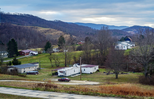
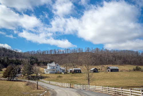
Elevation of Pine Grove Rd #27lindside, Lindside, WV, USA

Location: United States > West Virginia > Monroe County > Western > Lindside >

Longitude: -80.688394

Latitude: 37.456838

Elevation: 645m / 2116feet

Barometric Pressure: 94KPa

Elevation Map:

elevation map of Pine Grove Rd #27lindside, Lindside, WV, USA

Satellite Map:

Satellite map of Pine Grove Rd #27lindside, Lindside, WV, USA

Related Photos:

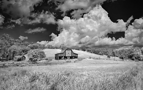
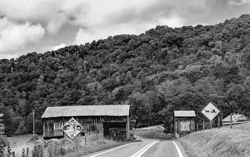
clouds barn farm quilttile quilt road countryroad monroe wv lindside bobbell nikon d750
Quilt Pattern Barn - No Fishing
mill millwheel cooksmill greenville wv pear bradleypear spring bobbell nikon d750
Cooks Mill Wheel
quiltbarn clouds barn farm puffyclouds weather bobbell nikon d750
Quilt Pattern Barn with Clouds_BW
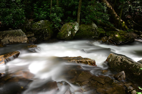
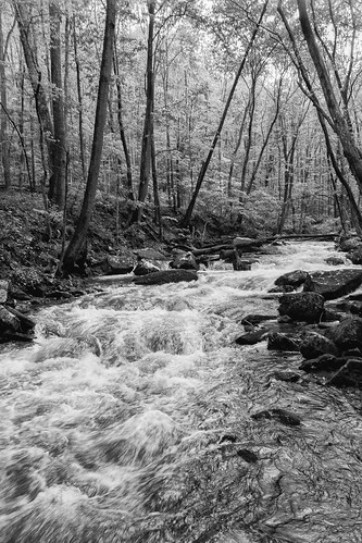
park longexposure bw water creek forest trek landscape pembroke virginia waterfall nikon rocks stream walk hike nationalforest trail filter va cascades runningwater blueridgemountains vr movingwater cascadefalls blackglass montgomerycounty southwestvirginia 18200mm thecascades newrivervalley jeffersonnationalforest gilescounty 18200mmvr nd110 bwnd110 littlestonycreek d7000 montgomerycountyva tenstop nikond7000
Little Stony Creek
park longexposure bw water creek forest trek landscape pembroke virginia waterfall nikon rocks stream walk hike nationalforest trail filter va cascades runningwater blueridgemountains vr movingwater cascadefalls blackglass montgomerycounty southwestvirginia 18200mm thecascades newrivervalley jeffersonnationalforest gilescounty 18200mmvr nd110 bwnd110 littlestonycreek d7000 montgomerycountyva tenstop nikond7000
Little Stony Creek II
august westvirginia 2009 coveredbridges indiancreek monroecounty riversandstreams nrhp canon24105l indiancreekbridge august2009 westvirginiacoveredbridges longtruss
Indian Creek Bridge 2 - West Virginia
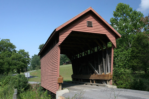
august westvirginia 2009 laurelcreek coveredbridges monroecounty canon1740l riversandstreams queenposttruss nrhp august2009 westvirginiacoveredbridges laurelcreekbridge
Laurel Creek Bridge - West Virginia
landscape farm barn sky clouds fence gate stream creek flood road rural country trees wv westvirginia monroe bobbell nikon d750
Cooks Run Barn_Wide
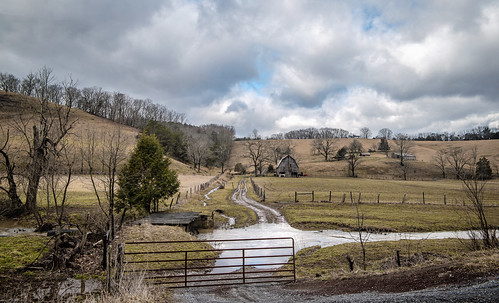
barn farm clouds monrow wv greenville fence winter bobbell nikon d800
Indian Creek Barn
road wood bridge autumn red usa mountain tree history fall monument nature leaves yellow rural forest river landscape outdoors fire wooden leaf nc scenery crossing view cross unitedstates south scenic historic southern westvirginia covered vista hamlet attraction settlement midatlantic uplandsouth
West Virginia, Mountain Momma
westvirginia monroecounty mills cooksmill nrhp weatheredwood tinroof waterwheels lakesandponds reflections august2009 august 2009 canon24105l explore
Cook's Mill - West Virginia
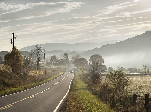
road morning autumn red usa mist mountain tree fall nature leaves car yellow electric fog rural forest sunrise landscape outdoors fire leaf nc wire highway scenery view unitedstates south scenic utility cable southern westvirginia vista hamlet telefone attraction lpbridges
Indian Creek Covered Bridge
sunset summer mountains forest virginia hiking trail hiker overlook appalachiantrail windrock
Western Sky
virginia pearisburginn riverbendbed breakfastbed breakfastbbinnnew river
Porch view
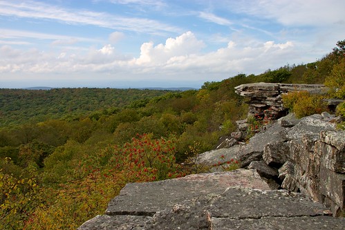
landscape geotagged virginia nationalforest overlook hdr mountainash jeffersonnationalforest gilescounty lookoffrock
Lookoff Rock
nature water river virginia n falls motionblur giles cascade vt virginiatech cascadefalls d90 jeffersonnationalforest gyawali blacksgurg mankotphotography gilescountry cascadefallsvirginia
Cascade Falls, Jefferson National Forest, Virginia
bridge virginia nikon highway zoom bridges appalachiantrail newriver angelsrest scenicview southwestvirginia newrivervalley 55200mm pearisburg gilescounty ushighway us460 pearisburgvirginia nikond5000 skyemarthaler angelsrestoverlook
US Highway 460, Pearisburg, Virginia
virginia hiking pearisburg at 2000miler 10millionphotos appalachiantrailhike2008day3 everything00
IMG_0106_View of New River under the bridge_Pearisburg_080526
panorama 350d virginia hiking appalachiantrail windrock xti rebelxti
Wind Rock Summit
trees blackandwhite bw panorama white black forest 350d virginia woods perfect pano panoramas mountainlake verticalpanorama undisturbed windrock perfectpanoramas xti rebelxti
Wind Rock Trees
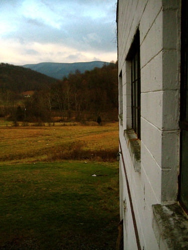
winter mountains field scenic wv westvirginia vista cinderblock appalachia monroecounty lindside
View from Gas Station Bathroom
virginia gilescounty nationalforests jeffersonnf virginiamountains cascadesrapids riversandstreams littlestonycreek waterfalls virginiawaterfalls spring april2018 april 2018 canon24704l
Cascades on Little Stony Creek
hike bw pembroke virginia unitedstates cascades littlestonycreek jeffersonnationalforest blackandwhite landscape polarizer
Little Stony Creek
iris irises flowers field clouds mill bridge landscape monroe greenville bobbell nikon d750
Mill, Irises and Clouds
virginia gilescounty nationalforests jeffersonnf virginiamountains cascadesrapids riversandstreams littlestonycreek waterfalls virginiawaterfalls spring april2018 april 2018 canon24704l
Mountain Stream
mennonite road quiltbarn quiltpattern quilt barn mountain monroe bobbell wv westvirginia clouds sky trees nature
Mennonite Country_BW
longexposure autumn fall creek virginia nationalforest jeffersonnationalforest gilescounty gilesco littlestonycreek
Little Stony Creek
barn quiltpattern wv monroe bobbell lindside farm nikon landscape cow cattle
Quilt Barn_BW
farm barn house farmhouse greenville wv monroe bobbell nikon d750 clouds winter sky fence road landscape
Greenville Farm_BW
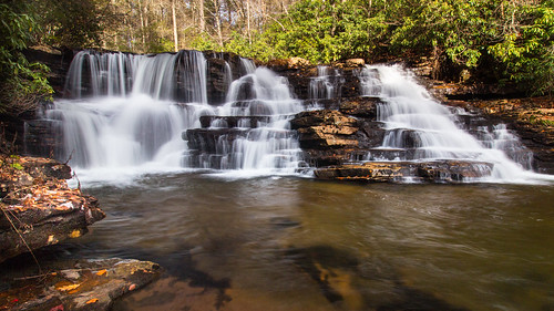
longexposure usa nature canon landscape virginia waterfall hiking hike nationalforest cascades upperfalls pembrokeva jeffersonnationalforest uppercascades nikcolorefex cascadeswaterfall niksharpenerpro canont1i canon1585 nikcolorefexpro4 uppercascadeswaterfall gilescova
Upper Falls - Cascades, Pembroke, Giles Co., Virginia
longexposure usa canon pembroke virginia waterfall tripod hike nationalforest cascades circularpolarizer jeffersonnationalforest cascadeswaterfall canon70d canon1018stm
Upper Cascades Falls
smalltown appalachia lindside wv mobilehome mountains sky bobbell nikon d750 nikond750
Small town, WV
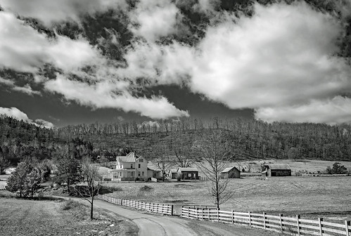
farm fence plankfenceroad clouds sky farmhouse house greenville wv bobbell weather winter landscape
Greenville Farm
pembroke virginia us unitedstates cascades aerialphotography virginiacascades gilescounty virginiatourism virginiawaterfalls michaelspeed djiphantom3pro
The Cascades of Giles County Virginia. Via dji phantom 3pro.
bridge autumn trees fall water newriver
New River
park longexposure bw water creek forest trek landscape pembroke virginia waterfall nikon rocks stream walk hike nationalforest trail filter va cascades runningwater blueridgemountains vr movingwater cascadefalls blackglass montgomerycounty southwestvirginia 18200mm thecascades newrivervalley jeffersonnationalforest gilescounty 18200mmvr nd110 bwnd110 littlestonycreek d7000 montgomerycountyva tenstop nikond7000
Cascades Falls
farm barn lindside monroe clouds blackandwhite bw cattle road weather bobbell nikon d750 wv westvirginia
West Virginia Farm_BW
pembroke virginia us stream unitedstates hike cascades
Hold my beer and watch this!