Elevation of Pence Springs, WV, USA
Location: United States > West Virginia >
Longitude: -80.7250808
Latitude: 37.6781762
Elevation: 469m / 1539feet
Barometric Pressure: 0KPa
Related Photos:

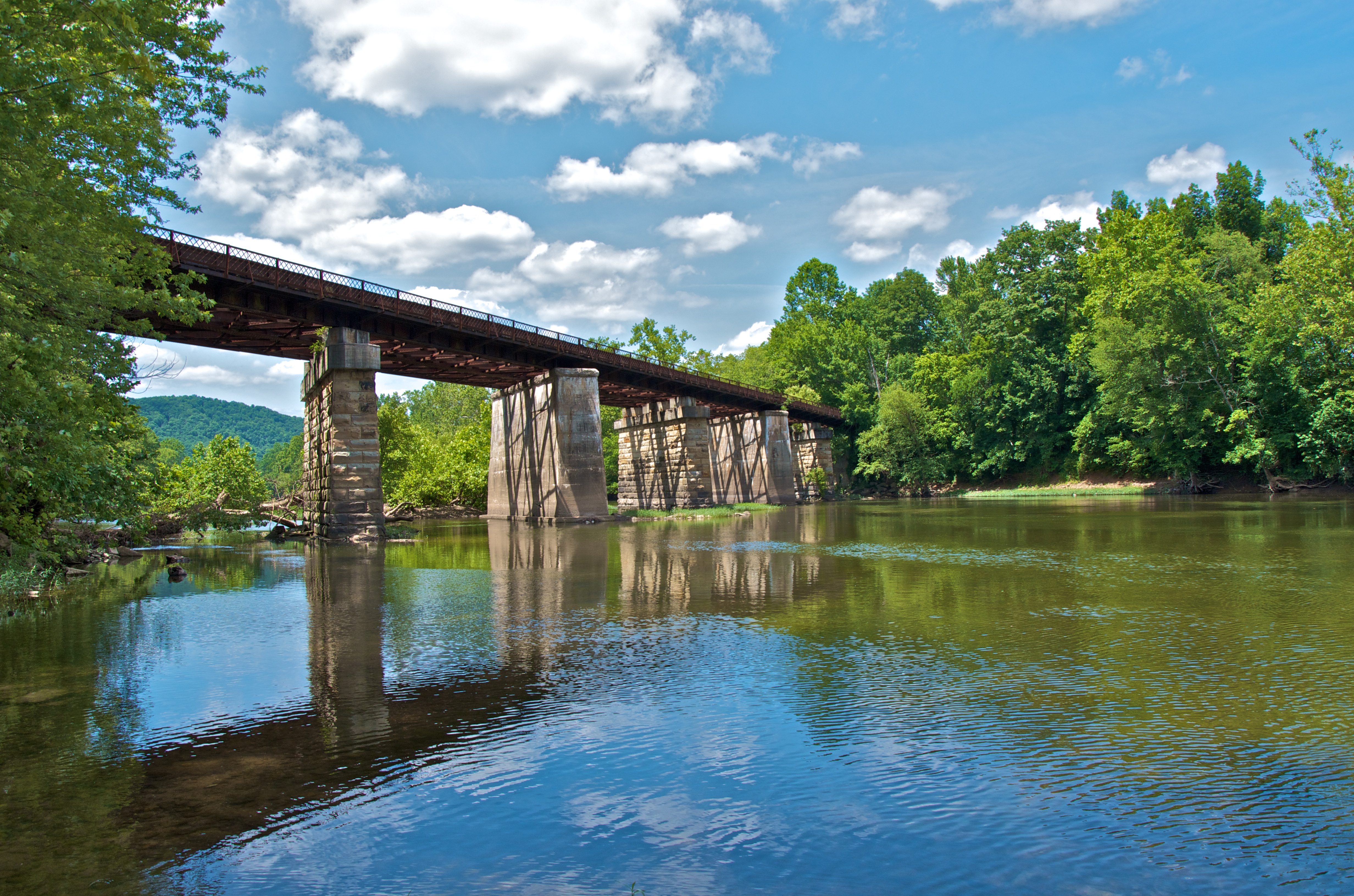
Cooks Mill Wheel

Across the Tracks

John Henry Statue_Fisheye View
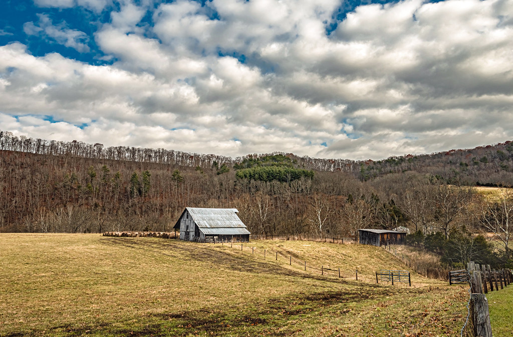
Indian Creek Barn
River View Church

Beyond the Sunset

View from Alderson (WV) Cemetery

Cook's Mill - West Virginia

View from Alderson (WV) Cemetery

Winter's Afterglow in the Greenbrier Valley: Haiku #16

Alderson Cemetery (WV)

Alderson station

Pence Springs

Panorama Of The Bluestone Dam

Laurel Creek Bridge - West Virginia

The Grounds

View from Alderson Cemetery (WV)
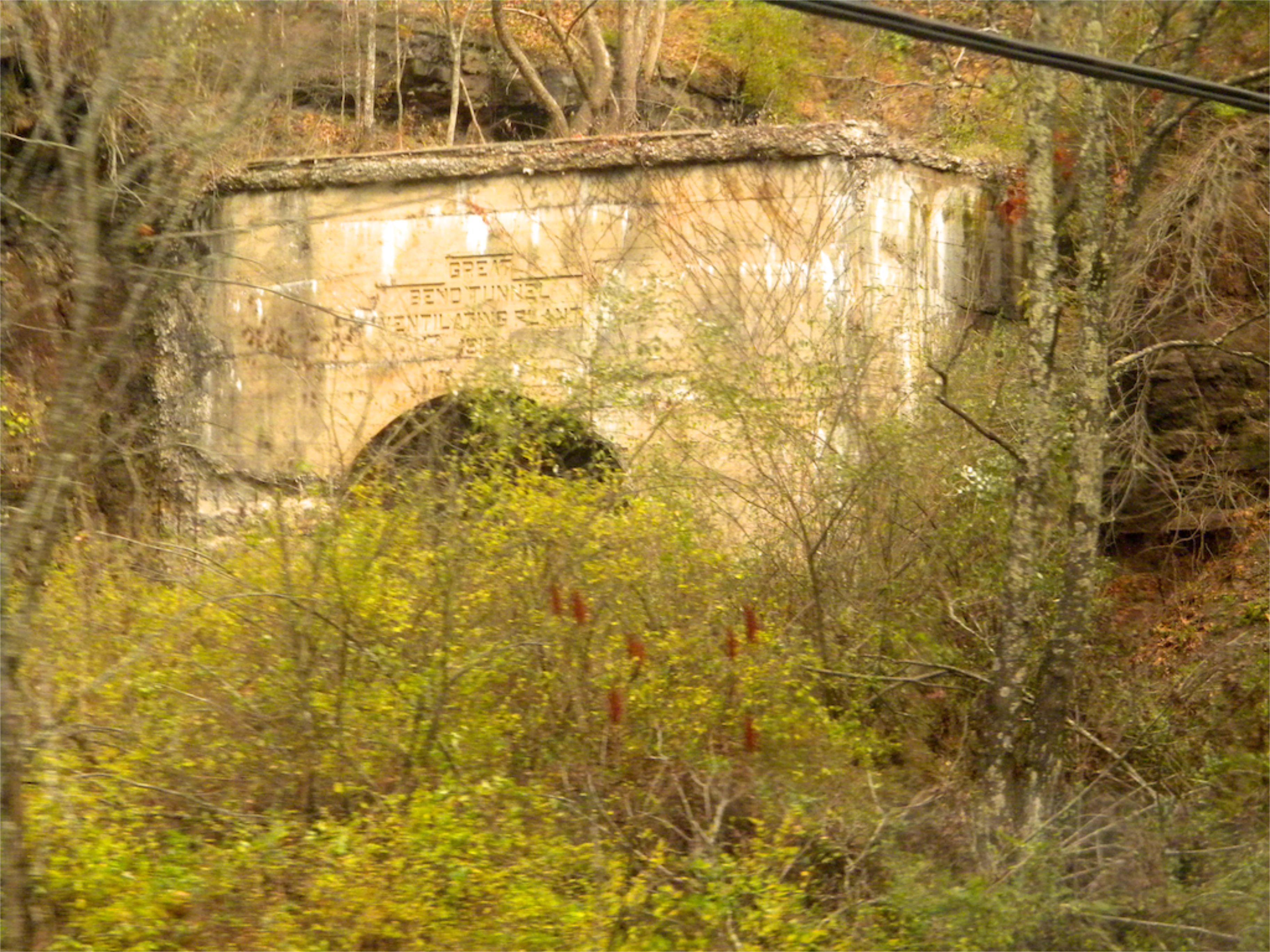
West Virginia: Summers: Great Bend Tunnel

Alderson WV

Crossing the Greenbrier River in the winter

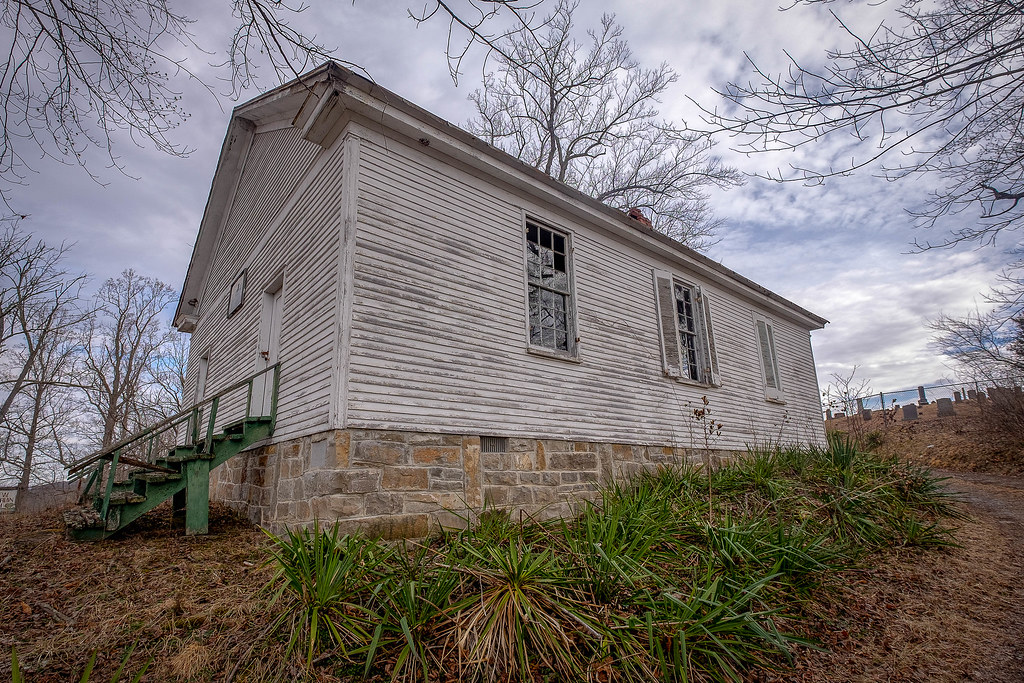
Alderson WV Women's Reformatory

Mill and Daffodil

Little Wolf Creek Falls

Mill, Irises and Clouds

Mennonite Country_BW

Wolf Creek Church_BW

New River

Greenville Farm_BW

Keller Church _BW

Farmhouse on Flat Mountain (2 of 2)
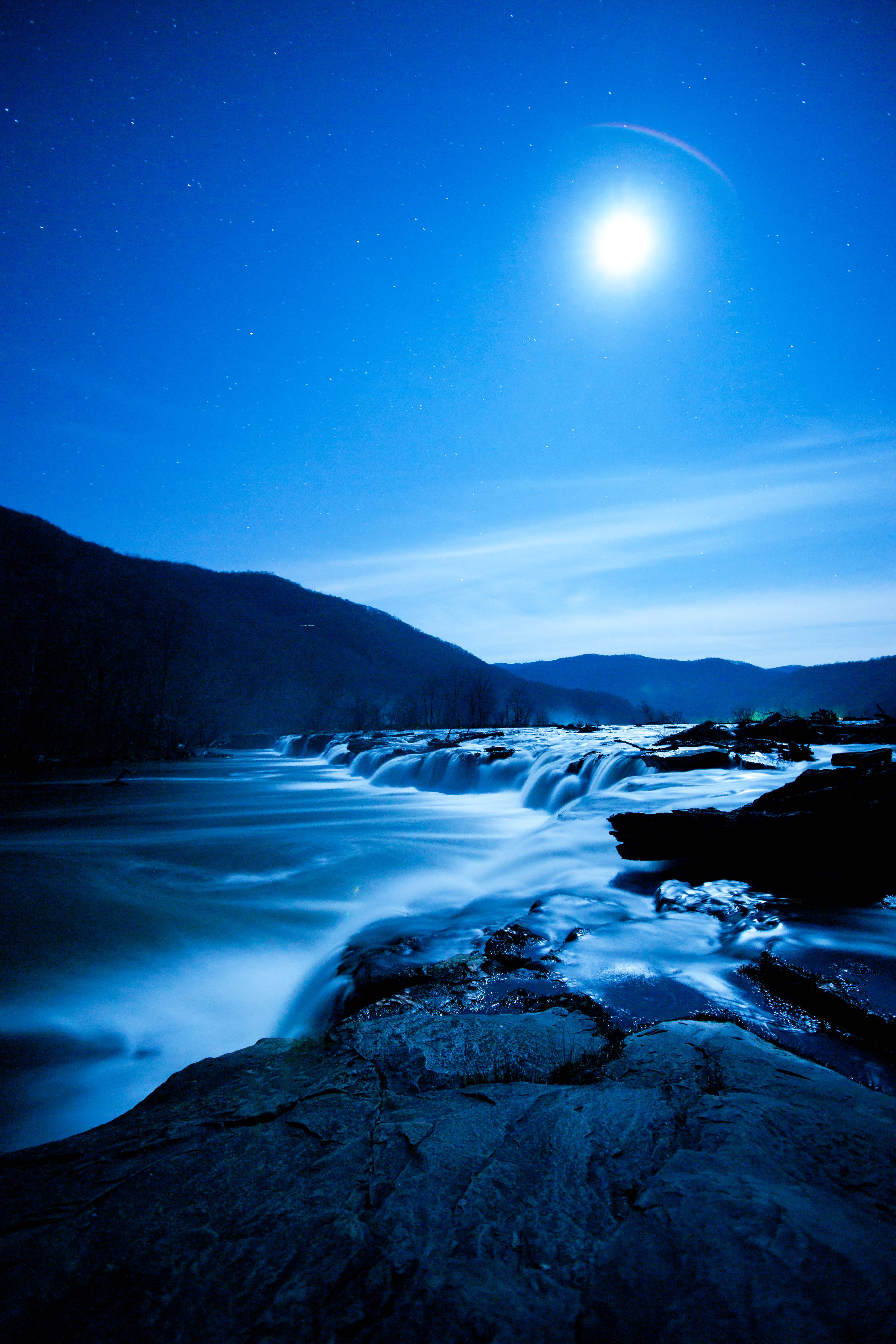
Moon over Sandstone Falls

Greenville Farm

Farmhouse on Flat Mountain (1 of 2)

Quilt Pattern Barn_BW
Lowell Pedestrian Bridge

The Greenbrier River in Alderson, WV

Held By The Bluestone Dam

Swings on the Tree

John Henry

Bluestone Dam
Topographic Map of Pence Springs, WV, USA
Find elevation by address:

Places in Pence Springs, WV, USA:
Places near Pence Springs, WV, USA:
Lowell Rd, Pence Springs, WV, USA
Hungards Creek Road
West Virginia 12
Talcott
Red Sulphur Turnpike
4443 Judson Rd
Riverside Rest Rd, Alderson, WV, USA
Sr 3 And 12, Hinton, WV, USA
Powley Creek Road
495 Big Branch Rd
1924 Big Creek Rd
Alderson Station
West Maple Avenue
4305 Greenbrier Dr
4305 Greenbrier Dr
4305 Greenbrier Dr
Alderson
Avalon Way
New River
Ridgeview Lane
Recent Searches:
- Elevation of Jiezi, Chongzhou City, Sichuan, China
- Elevation of Chongzhou City, Sichuan, China
- Elevation of Huaiyuan, Chongzhou City, Sichuan, China
- Elevation of Qingxia, Chengdu, Sichuan, China
- Elevation of Corso Fratelli Cairoli, 35, Macerata MC, Italy
- Elevation of Tallevast Rd, Sarasota, FL, USA
- Elevation of 4th St E, Sonoma, CA, USA
- Elevation of Black Hollow Rd, Pennsdale, PA, USA
- Elevation of Oakland Ave, Williamsport, PA, USA
- Elevation of Pedrógão Grande, Portugal
- Elevation of Klee Dr, Martinsburg, WV, USA
- Elevation of Via Roma, Pieranica CR, Italy
- Elevation of Tavkvetili Mountain, Georgia
- Elevation of Hartfords Bluff Cir, Mt Pleasant, SC, USA
- Elevation of SW Barberry Dr, Beaverton, OR, USA
- Elevation of Old Ahsahka Grade, Ahsahka, ID, USA
- Elevation of State Hwy F, Pacific, MO, USA
- Elevation of Chemin de Bel air, Chem. de Bel air, Mougins, France
- Elevation of Cloverdale Dr, Bloomingdale, GA, USA
- Elevation of 3FPP+WP4, Alajuela Province, San Ramon, Costa Rica