Elevation map of Colorado, USA
Location: United States >
Longitude: -105.78206
Latitude: 39.5500507
Elevation: 3499m / 11480feet
Barometric Pressure: 66KPa
Elevation Map:
Satellite Map:
Related Photos:
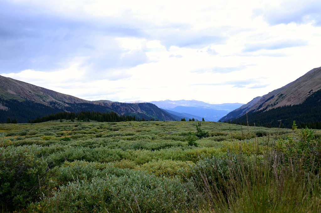
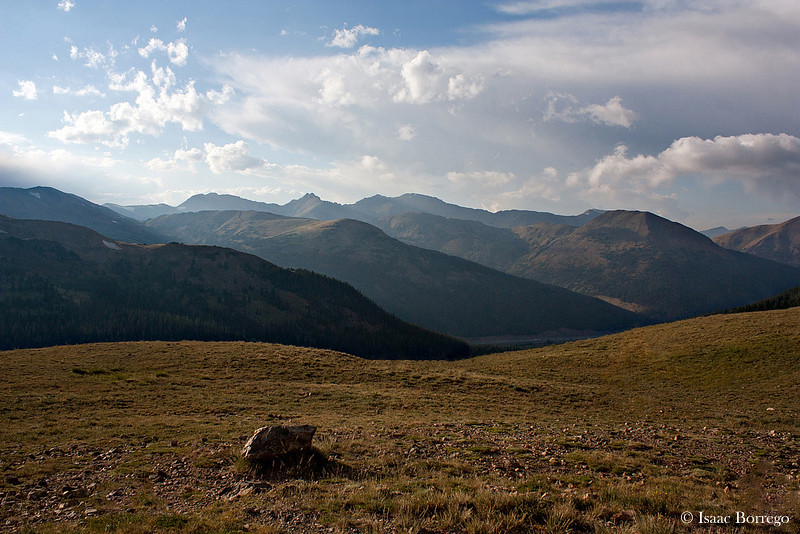
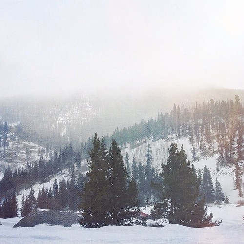
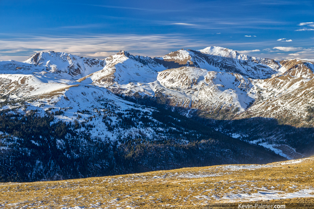
Summit View
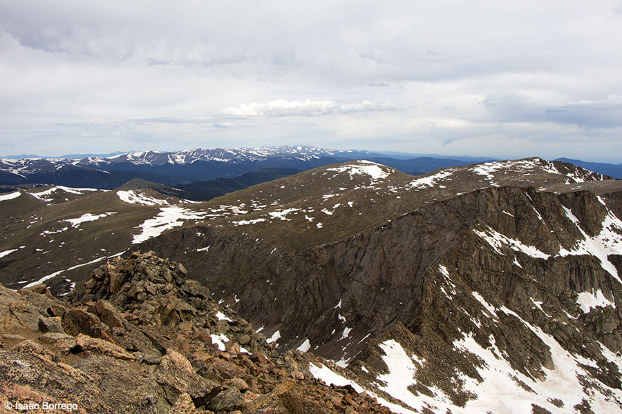
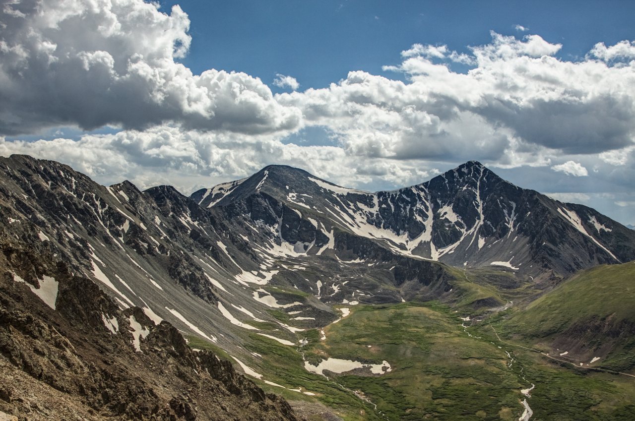
Cupid View
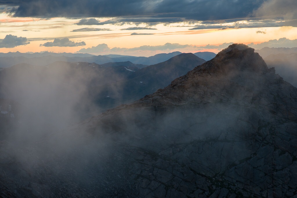
Clouds at Sunset - Mt. Evans Summit, CO
05-17-2014

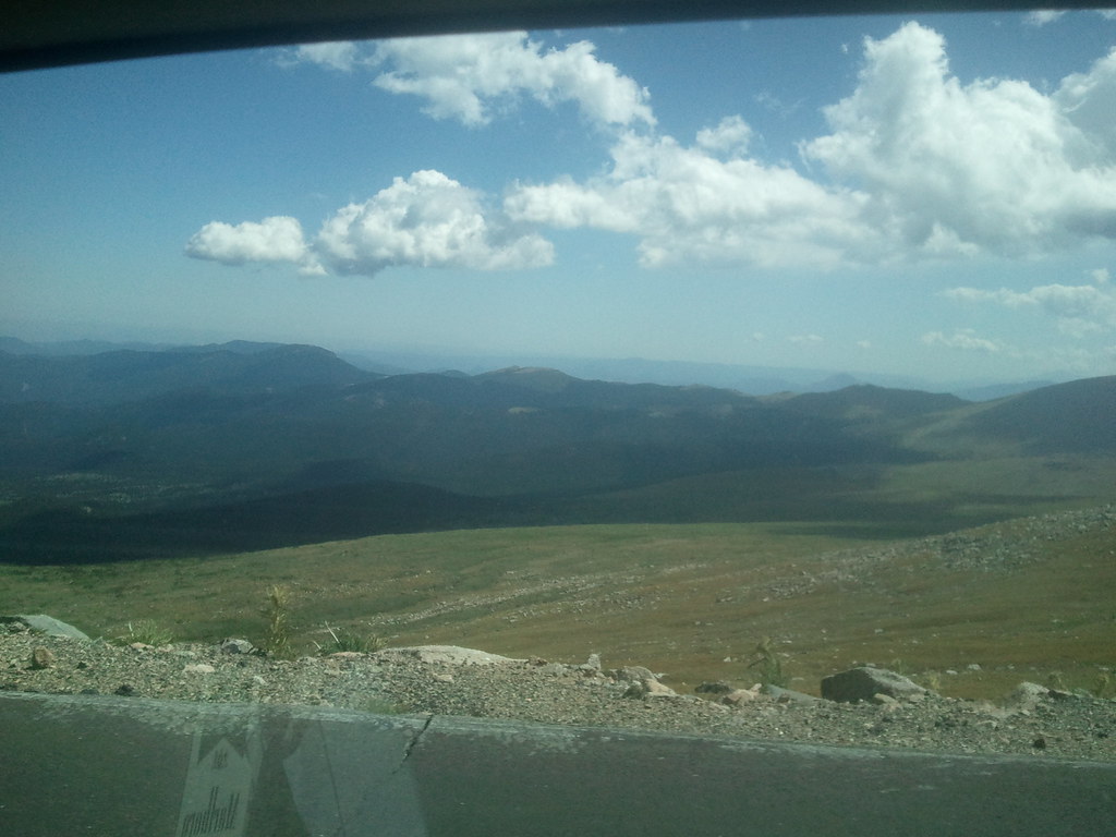
The View From Mt Evans

View From Mount Evans
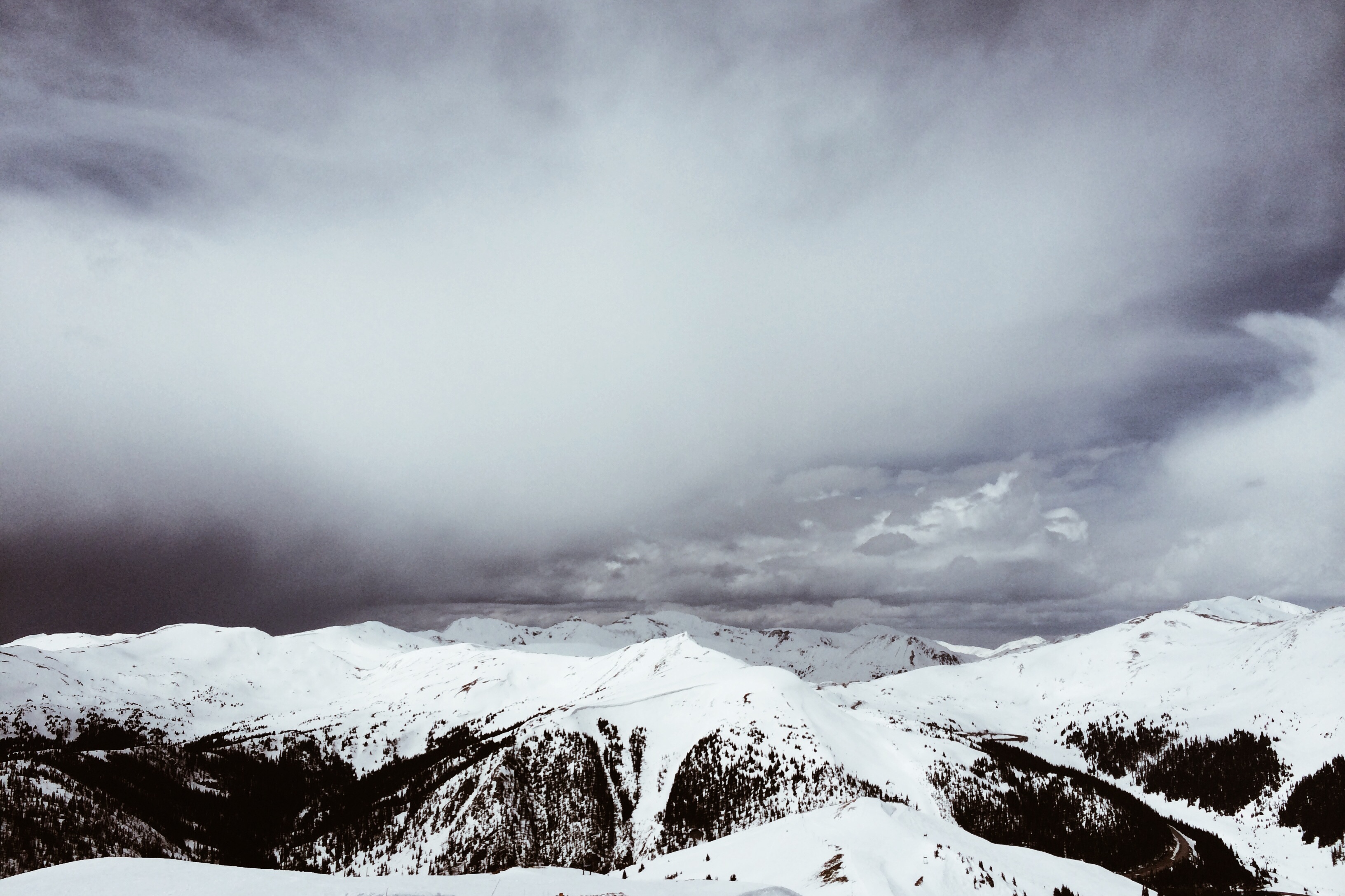
View from the Tundra - Loveland Pass, Colorado
View from Bierstadt

Loveland Pass View, Continental Divide, Colorado (DTA_4777)
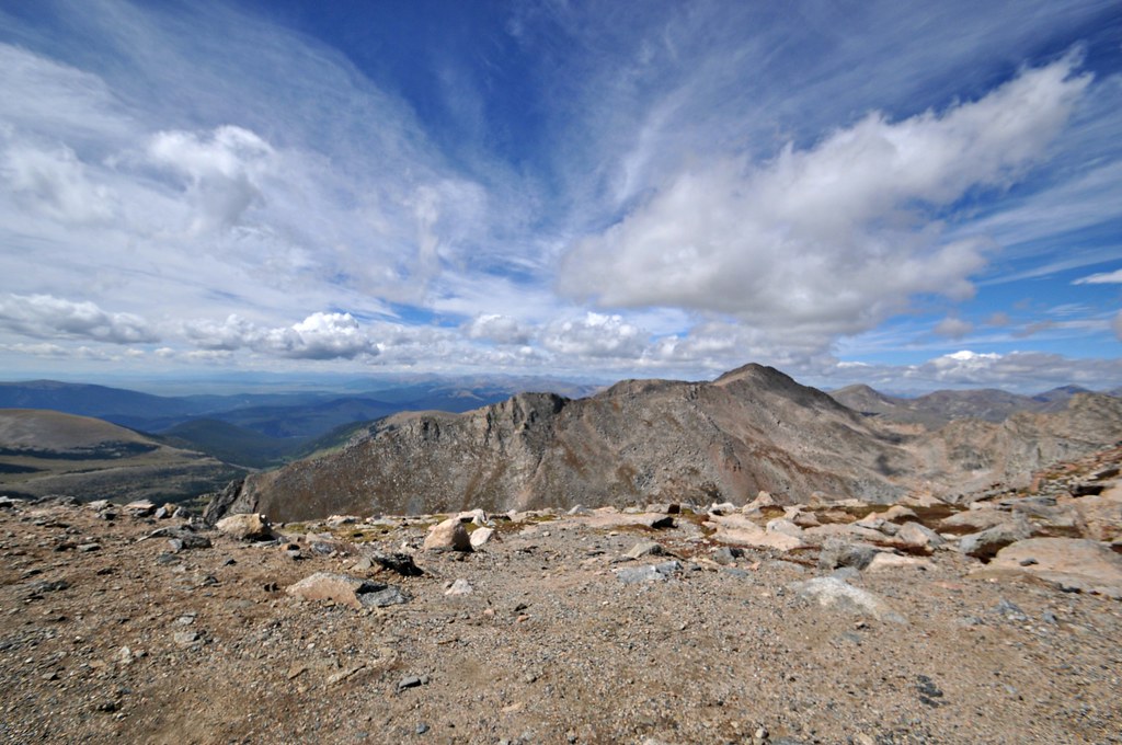
The View From Mt Evans
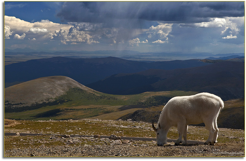
White Mountain Goat,MT. Evans,CO

Bicycling Loveland Pass (DTA_4769)
"We are now in the mountains and they are in us, kindling enthusiasm, making every nerve quiver, filling every pore and cell of us."- John Muir (omg the views here- seriously, amazing!!!!) #breckbecause #gobreck #chrystiincolorado #itsamazingoutthere
2011-09-04 13.08.55
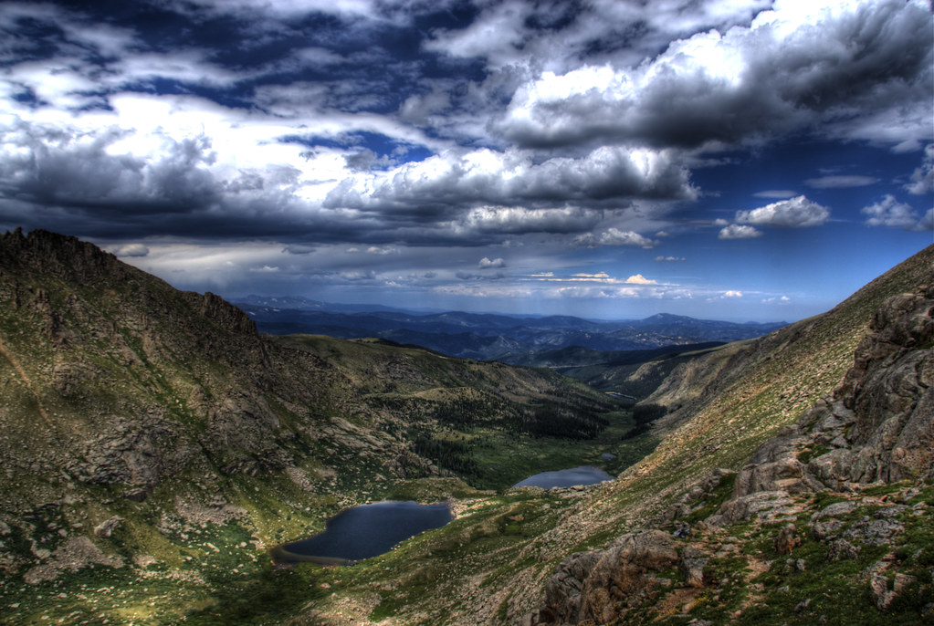
Chicago Lakes

865: Mt Bierstadt w/2013 KTM 690 Enduro R

Heavenly Aspen - Portrait
2011-09-04 13.40.31
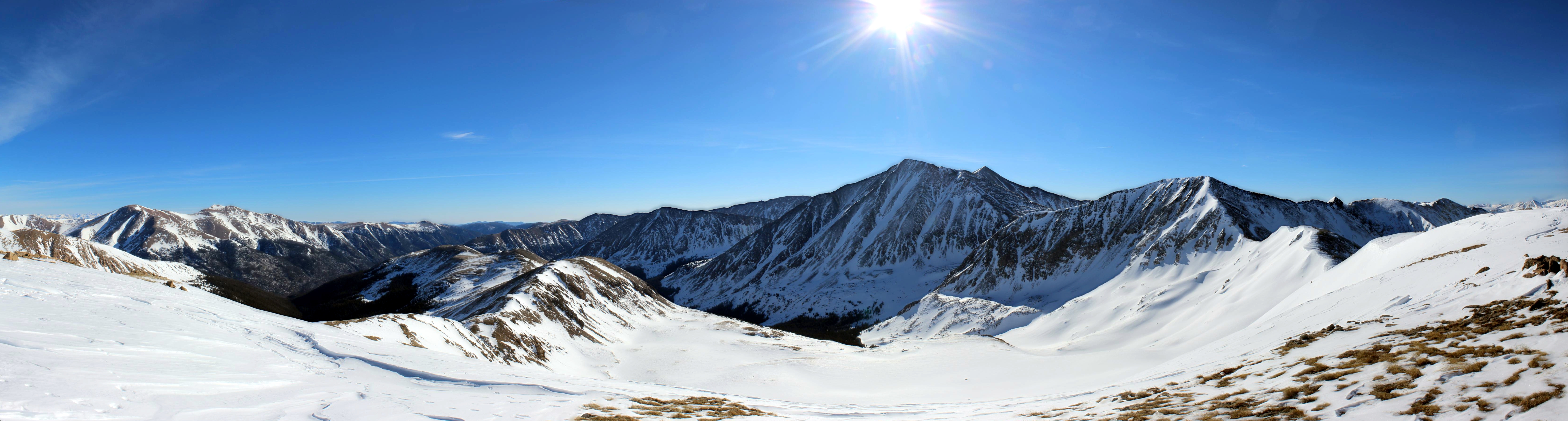
Continental Divide

Transitional Colors
Top-O-The-World
Topographic Map of Colorado, USA
Find elevation by address:

Places in Colorado, USA:
Jefferson County
El Paso County
Larimer County
Douglas County
Clear Creek County
Denver County
Boulder County
Arapahoe County
Park County
Gunnison County
Bailey
Weld County
Pueblo County
Durango
Mesa County
Adams County
Florissant
Montrose County
Gilpin County
Archuleta County
Cotopaxi
Cañon City
Las Animas County
Westcliffe
Grand County
Estes Park
Delta County
Eagle County
Bellvue
Breckenridge
Bayfield
Teller County
Fairplay
Rio Grande County
Fremont County
Huerfano County
Custer County
Fort Garland
Meeker
Gunnison
Hartsel
Routt County
Costilla County
La Veta
Summit County
Buena Vista
San Miguel County
Walden
Aspen
Elbert County
Idaho Springs
Rye
Ridgway
Manitou Springs
Montezuma County
Nathrop
Steamboat Springs
Carbondale
Woodland Park
Del Norte
Hotchkiss
Basalt
Allenspark
Craig
Lake City
Hinsdale County
Saguache County
Mineral County
Almont
Antonito
Clark
La Plata County
Morgan County
Somerset
Collbran
Lake County
Pitkin County
Garfield County
Logan County
Villa Grove
San Luis
Ouray County
Kremmling
Glenwood Springs
Vail
New Castle
Yuma County
Bent County
Dillon
Gardner
Leadville
Whitewater
Snowmass
Dolores County
Coalmont
Dolores
Silverton
Washington County
Broomfield County
Creede
Places near Colorado, USA:
Tumbling River Ranch
US-, Bailey, CO, USA
Kataka Mountain
Kenosha Pass
Grant
Mount Logan
323 N Fork Rd
100 Hilltop Rd
Jefferson
US-, Bailey, CO, USA
US-, Bailey, CO, USA
39 Skyline Dr
511 Cline Dr W
Royal Mountain
7731 Co Rd 43
1288 Royal Ridge Dr
890 Royal Ridge Dr
56 Highlands End
7297 Co Rd 43
349 Royal Ridge Dr
Recent Searches:
- Elevation of Corso Fratelli Cairoli, 35, Macerata MC, Italy
- Elevation of Tallevast Rd, Sarasota, FL, USA
- Elevation of 4th St E, Sonoma, CA, USA
- Elevation of Black Hollow Rd, Pennsdale, PA, USA
- Elevation of Oakland Ave, Williamsport, PA, USA
- Elevation of Pedrógão Grande, Portugal
- Elevation of Klee Dr, Martinsburg, WV, USA
- Elevation of Via Roma, Pieranica CR, Italy
- Elevation of Tavkvetili Mountain, Georgia
- Elevation of Hartfords Bluff Cir, Mt Pleasant, SC, USA