Elevation map of Adams County, CO, USA
Location: United States > Colorado >
Longitude: -104.19309
Latitude: 39.8398269
Elevation: 1525m / 5003feet
Barometric Pressure: 84KPa
Elevation Map:
Satellite Map:
Related Photos:
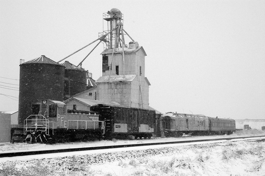
Strasburg Grain Elevator 2
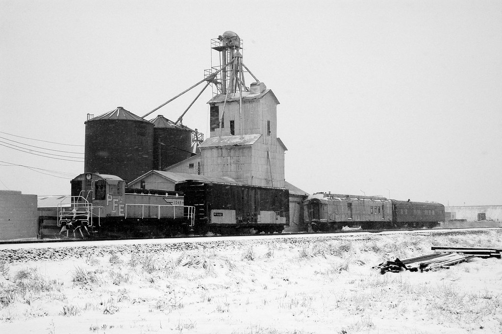
Strasburg Grain Elevator 1

Beautiful #sunset heading into #Denver this evening! #70 #roadtrip #travel #drive #colorado #journey #adventure #landscape #highway #interstate
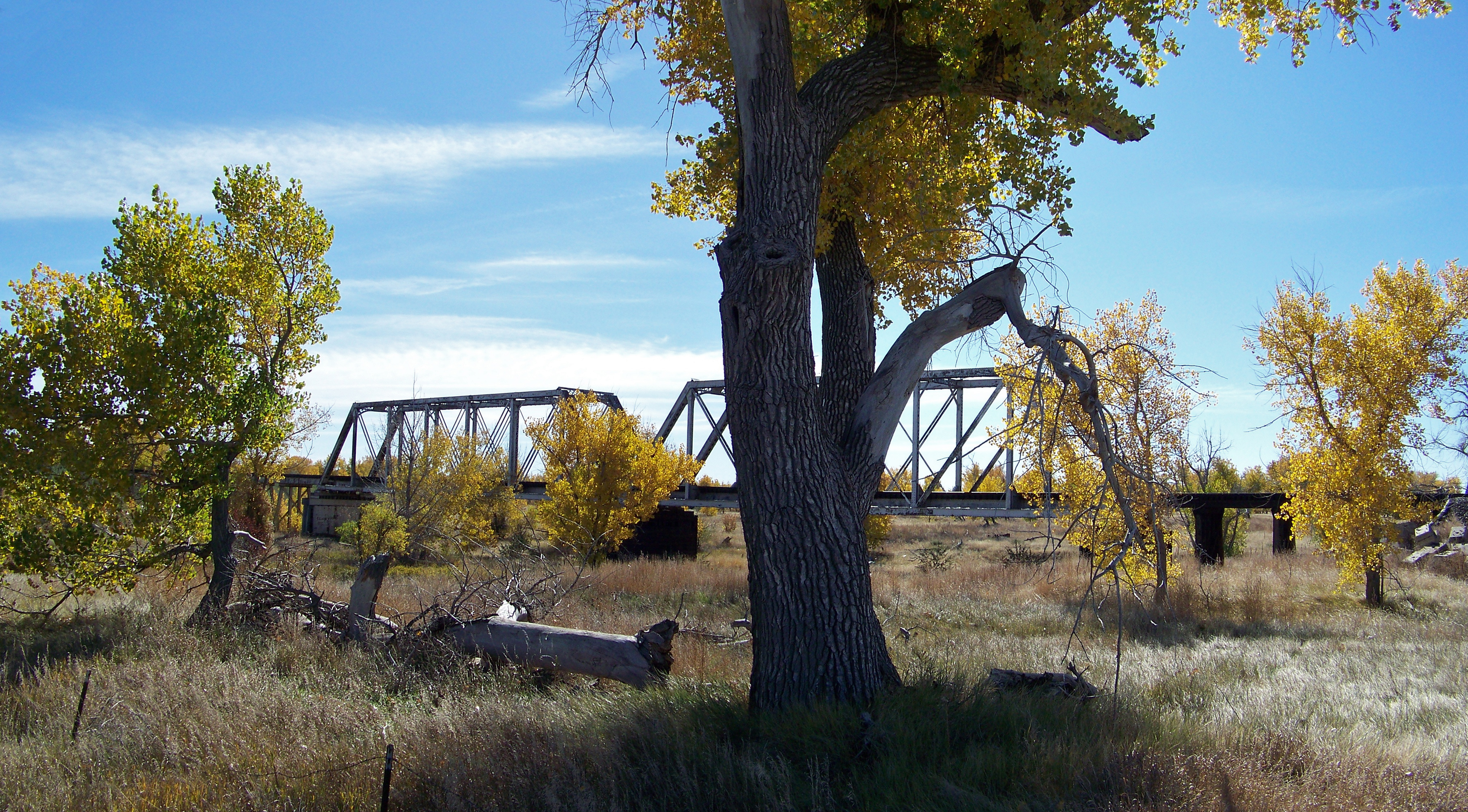
Steel Truss Bridge
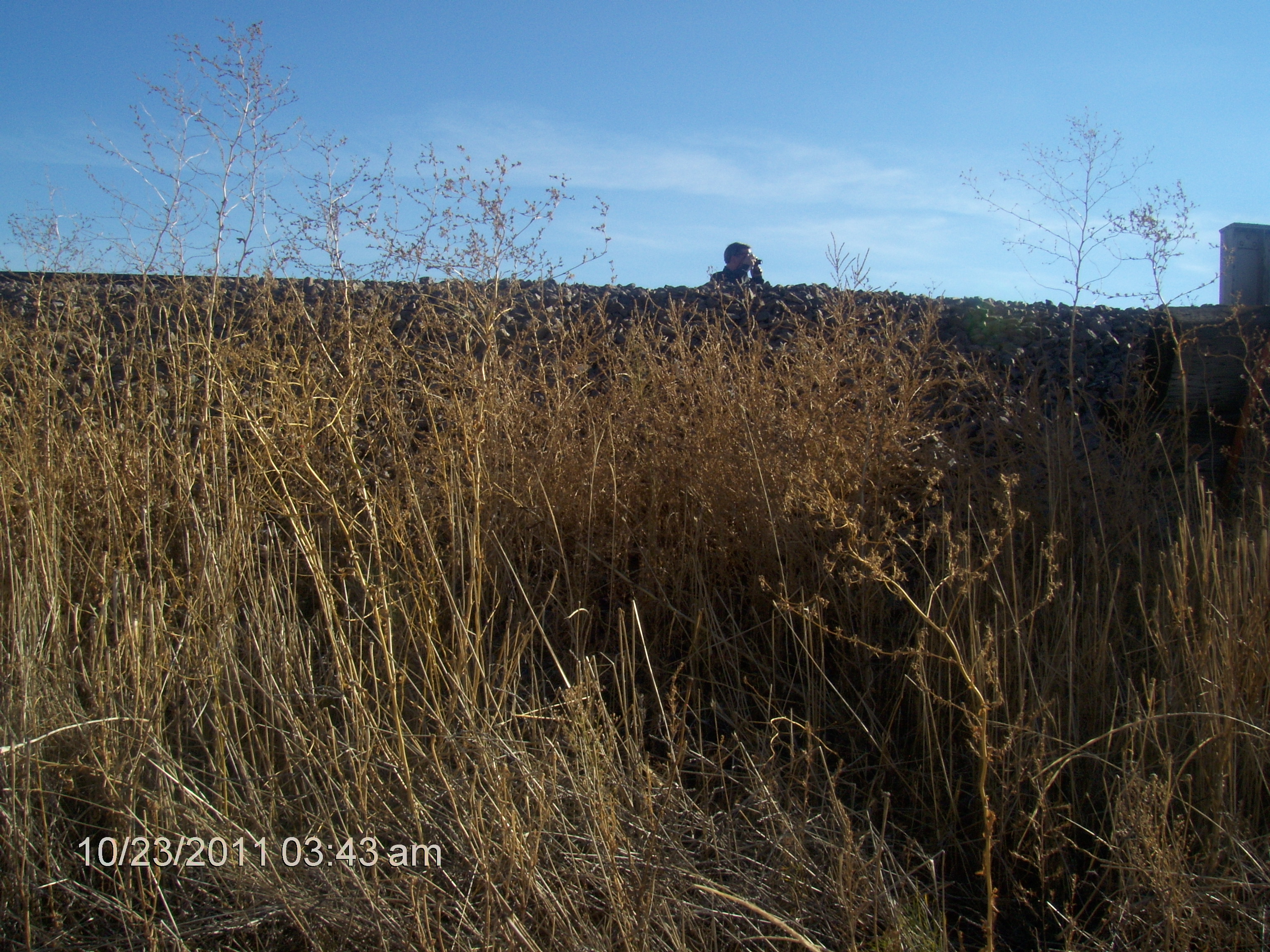
Picture Taking
Looking Linear

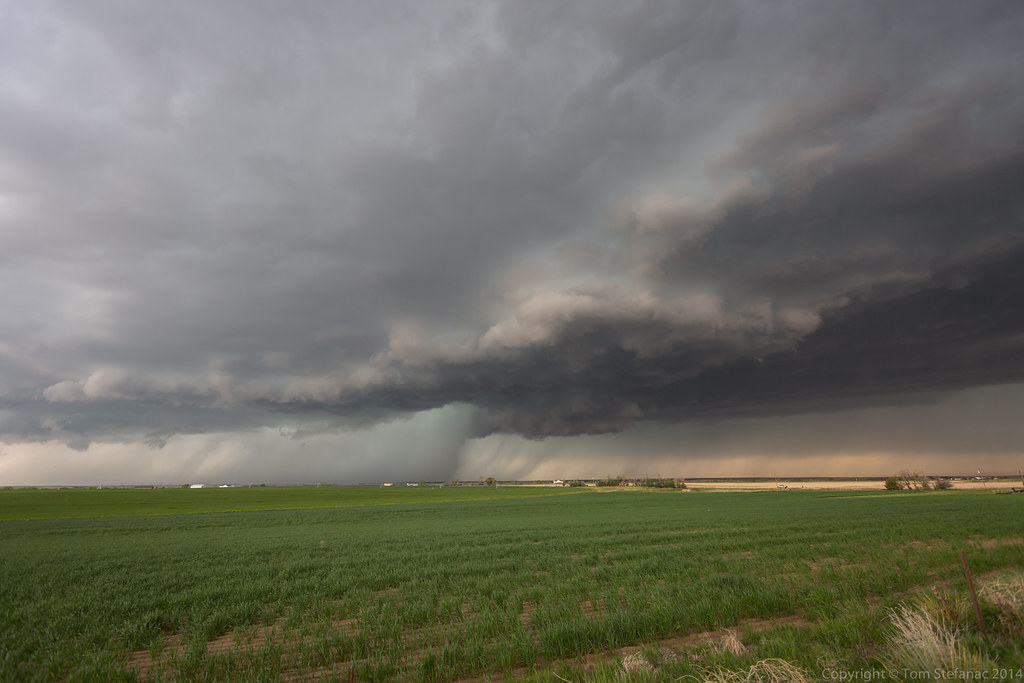
DIA Supercell

Even More Structure

Trying Again

More Structure

Ramping Back Up

CH330 Farmland from the Air
Topographic Map of Adams County, CO, USA
Find elevation by address:

Places in Adams County, CO, USA:
Brighton
Thornton
Westminster
Strasburg
Commerce City
Henderson
Northglenn
Berkley
Sherrelwood
Welby
Federal Heights
Bennett
North Washington
Kimberly St, Commerce City, CO, USA
Brighton Rd, Henderson, CO, USA
Derby
Todd Creek
Shaw Heights
Twin Lakes
Watkins
Places near Adams County, CO, USA:
E th Ave, Strasburg, CO, USA
Headlight Rd, Strasburg, CO, USA
Comanche Creek
Byers
1596 Arapahoe St
Strasburg
3800 Co Rd 95
4766 S Co Rd 157
East Powers Place
6th St, Bennett, CO, USA
Bennett
59696 East Powers Place
41509 State Hwy 52
Arapahoe County
Co Rd 16, Roggen, CO, USA
7337 Schumaker Rd
7240 S Co Rd 149
37415 Co Rd 16
North Co Road 129
CO-52, Keenesburg, CO, USA
Recent Searches:
- Elevation of Corso Fratelli Cairoli, 35, Macerata MC, Italy
- Elevation of Tallevast Rd, Sarasota, FL, USA
- Elevation of 4th St E, Sonoma, CA, USA
- Elevation of Black Hollow Rd, Pennsdale, PA, USA
- Elevation of Oakland Ave, Williamsport, PA, USA
- Elevation of Pedrógão Grande, Portugal
- Elevation of Klee Dr, Martinsburg, WV, USA
- Elevation of Via Roma, Pieranica CR, Italy
- Elevation of Tavkvetili Mountain, Georgia
- Elevation of Hartfords Bluff Cir, Mt Pleasant, SC, USA