Elevation map of Arapahoe County, CO, USA
Location: United States > Colorado >
Longitude: -104.33264
Latitude: 39.62031
Elevation: 1716m / 5630feet
Barometric Pressure: 82KPa
Elevation Map:
Satellite Map:
Related Photos:

Swainsons Hawk
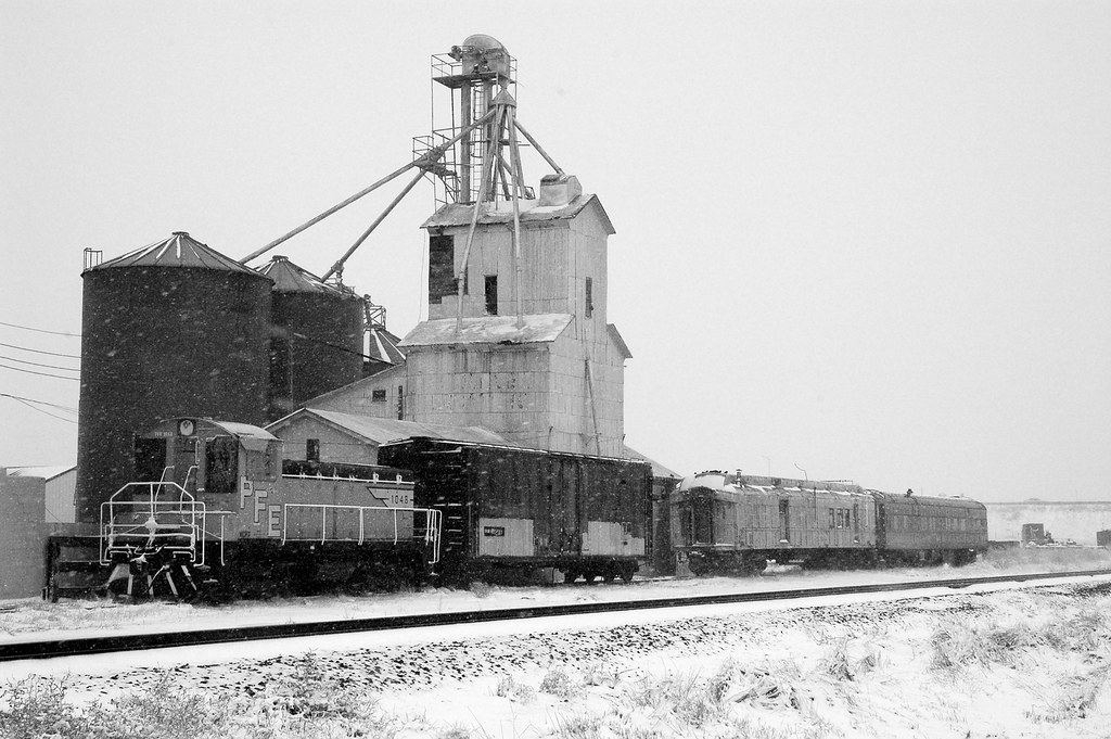
Strasburg Grain Elevator 2
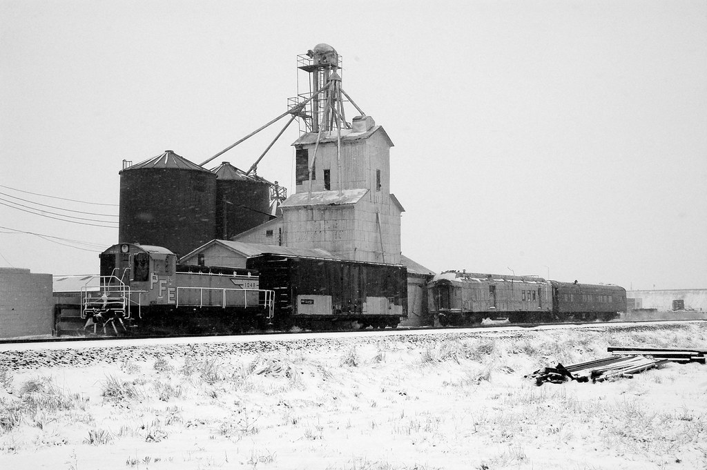
Strasburg Grain Elevator 1
SAN-NYC (351)

SAN-NYC (353)

January in Colorado... #healthydinner #leanprotein #colorado
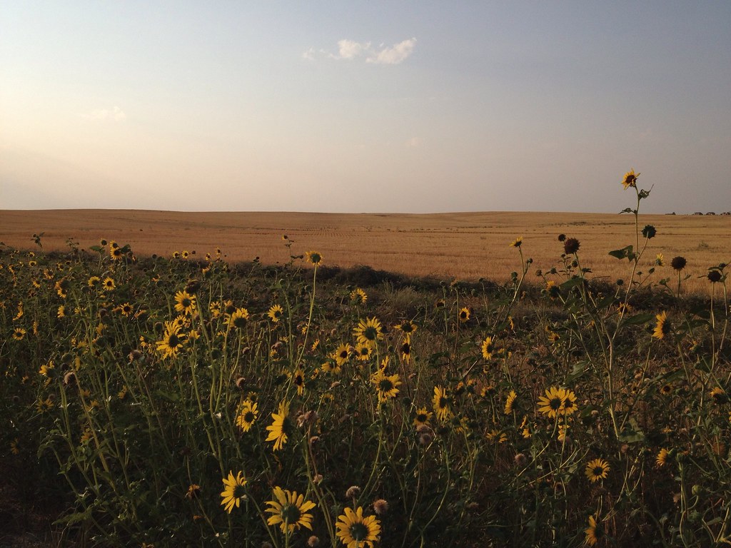
From Whence I Came
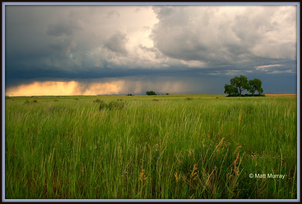
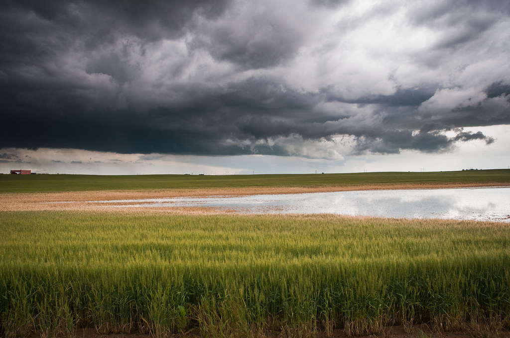
Rain Sweeps the Prairie
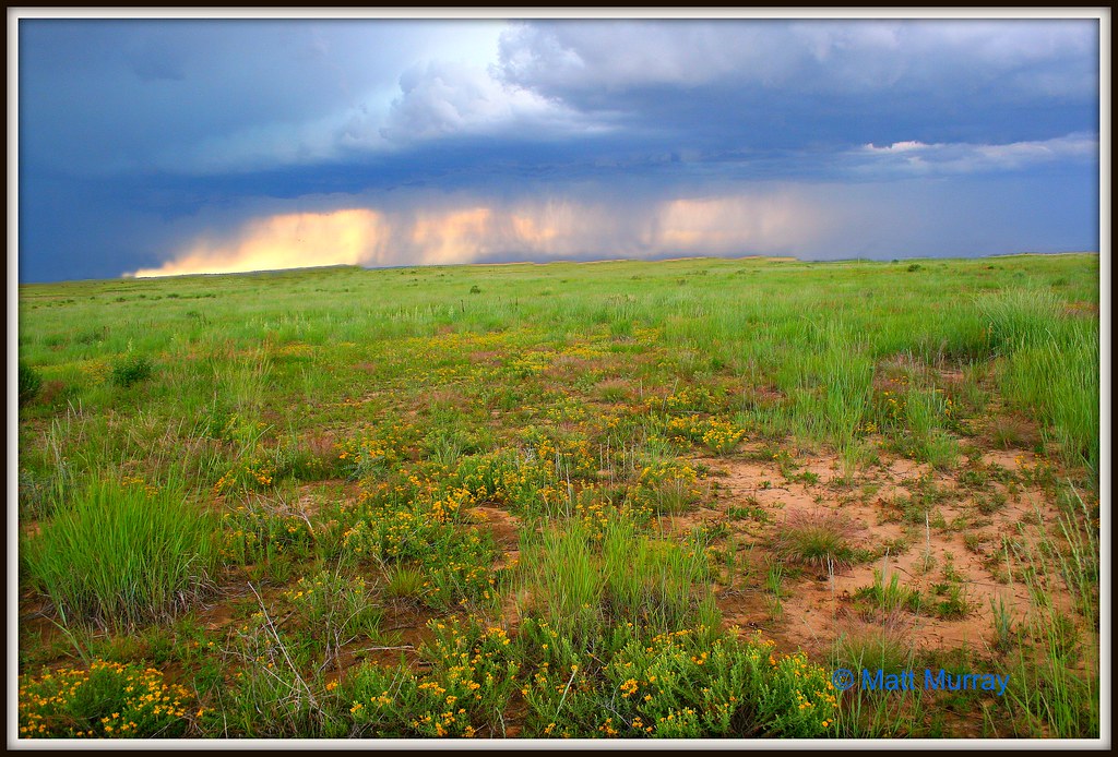
The Approaching Rain
Green from the Rains

Sunset from my Back Porch
CAP_3081.jpg

2012.06.06_0085
Prairie Good Morning

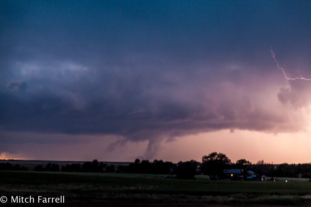
Cold War Relic and Storm
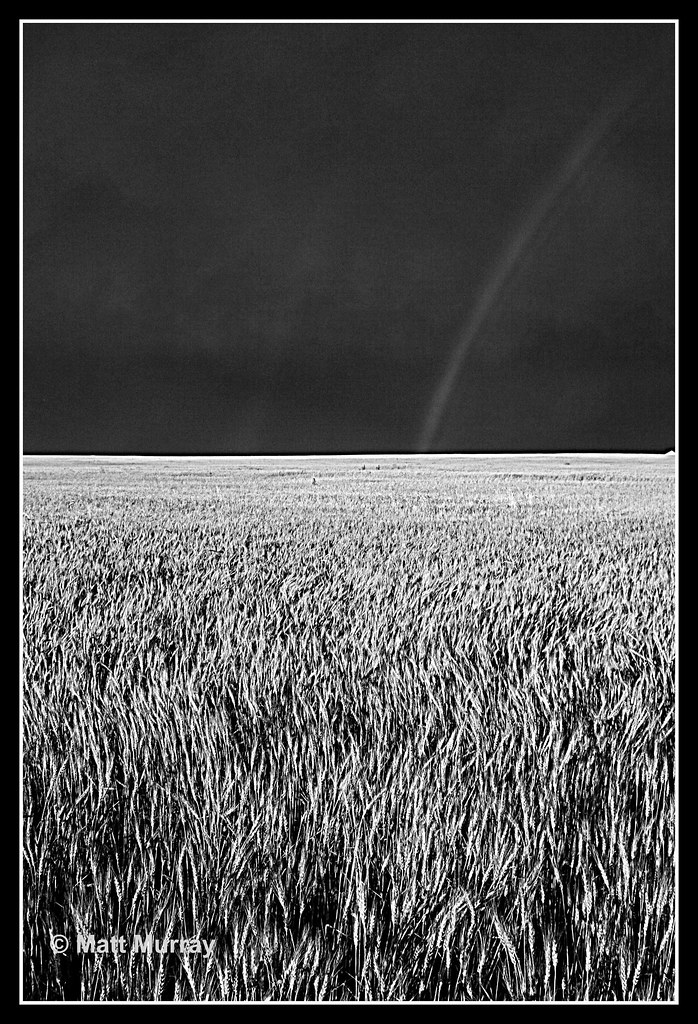
B&W Rainbow over Summer Wheat
CAP_3108.jpg
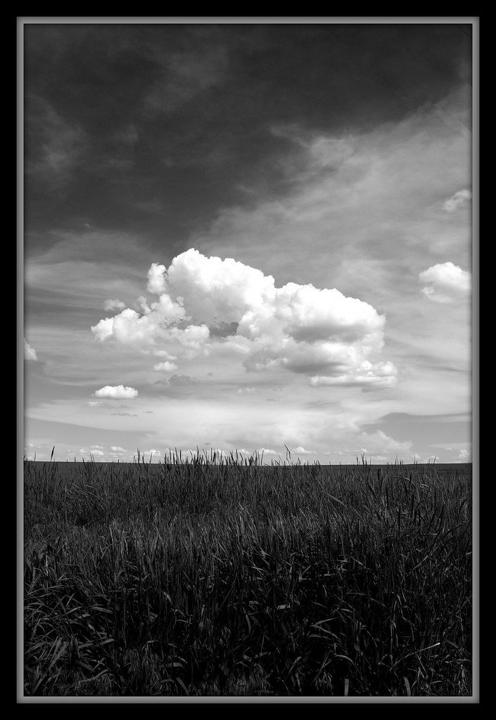
High Praire Spring
2012.06.06_0057

I see mountains

The sun sinking beyond the Rockies, the moon rising in the plains.

Beautiful #sunset heading into #Denver this evening! #70 #roadtrip #travel #drive #colorado #journey #adventure #landscape #highway #interstate

Minor Flash Flooding
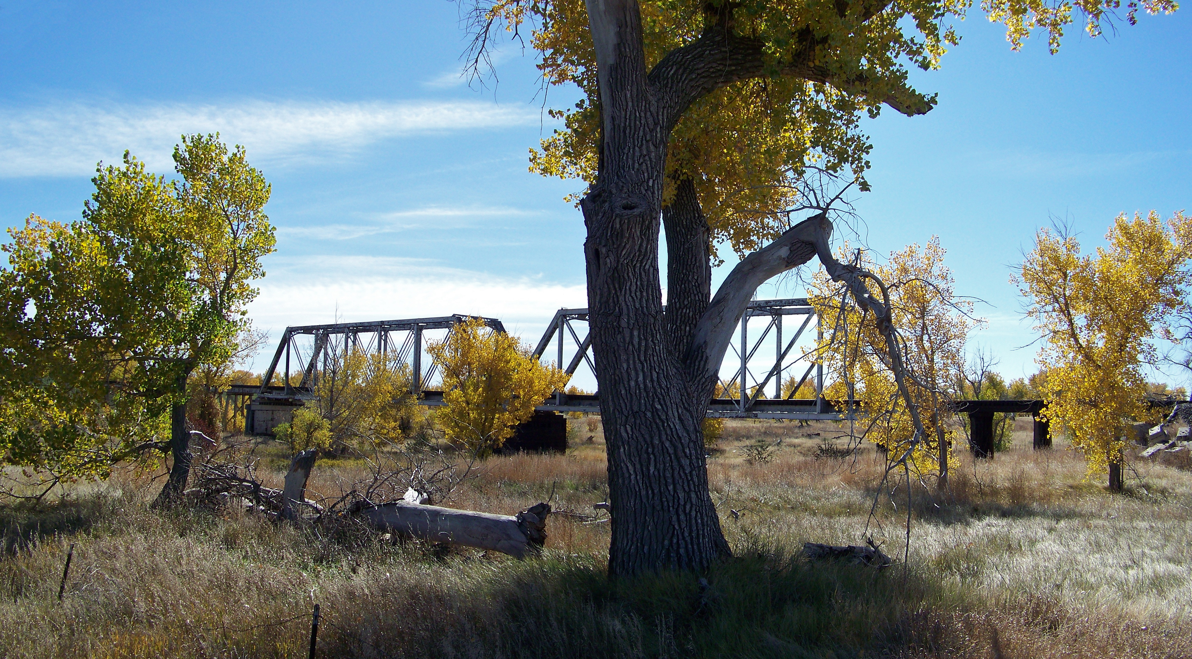
Steel Truss Bridge
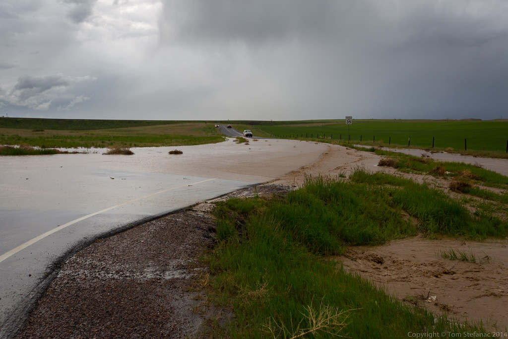
Flooding Continued...
Topographic Map of Arapahoe County, CO, USA
Find elevation by address:

Places in Arapahoe County, CO, USA:
Aurora
Littleton
Centennial
Englewood
Glendale
Greenwood Village
Deer Trail
Sheridan
Tallgrass
Dove Valley
Byers
Castlewood
Southglenn
Cherry Hills Village
Foxfield
Places near Arapahoe County, CO, USA:
4766 S Co Rd 157
East Powers Place
59696 East Powers Place
7240 S Co Rd 149
5885 Kiowa-bennett Rd
Strasburg
1596 Arapahoe St
3789 S County Rd 129
North Co Road 129
Byers
42959 E Arkansas Pl
6th St, Bennett, CO, USA
Bennett
44626 Lariat Trail
24160 Agate Trail
7142 Sun Country Dr
Ridge Rd, Agate, CO, USA
8096 Co Rd 162
Adams County
35265 E 10th Dr
Recent Searches:
- Elevation of Corso Fratelli Cairoli, 35, Macerata MC, Italy
- Elevation of Tallevast Rd, Sarasota, FL, USA
- Elevation of 4th St E, Sonoma, CA, USA
- Elevation of Black Hollow Rd, Pennsdale, PA, USA
- Elevation of Oakland Ave, Williamsport, PA, USA
- Elevation of Pedrógão Grande, Portugal
- Elevation of Klee Dr, Martinsburg, WV, USA
- Elevation of Via Roma, Pieranica CR, Italy
- Elevation of Tavkvetili Mountain, Georgia
- Elevation of Hartfords Bluff Cir, Mt Pleasant, SC, USA