Elevation of S Co Rd, Strasburg, CO, USA
Location: United States > Colorado > Adams County > Strasburg >
Longitude: -104.35921
Latitude: 39.583922
Elevation: 1743m / 5718feet
Barometric Pressure: 82KPa
Elevation Map:
Satellite Map:
Related Photos:

Swainsons Hawk

January in Colorado... #healthydinner #leanprotein #colorado
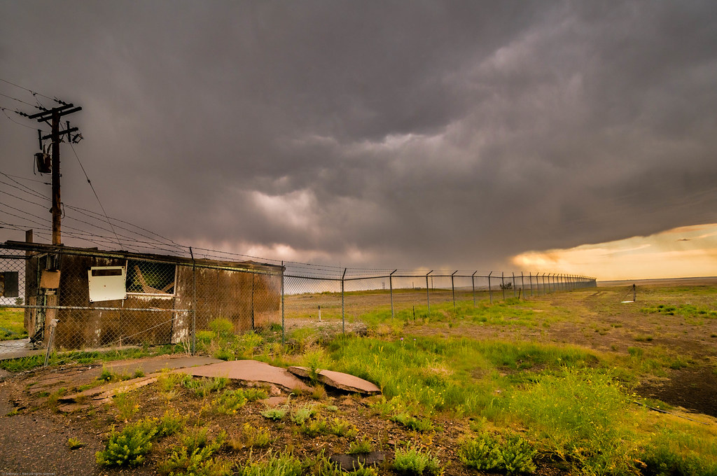
Cold War Relic and Storm

Sunset from my Back Porch

2012.06.06_0057

2012.06.06_0085

Rain Sweeps the Prairie

CAP_3108.jpg

CAP_3081.jpg
2017 Day 297 - Meanwhile in Colorado

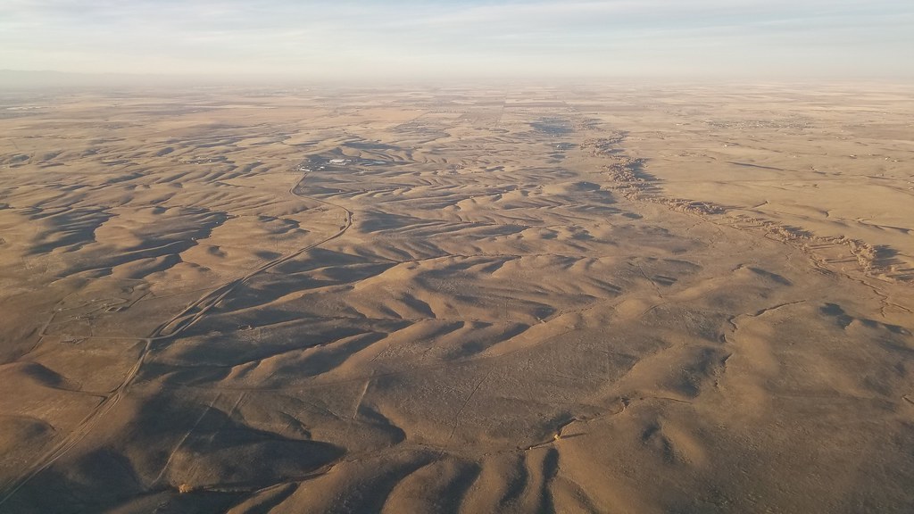
High Praire Spring

Path back west

Green from the Rains

I see mountains
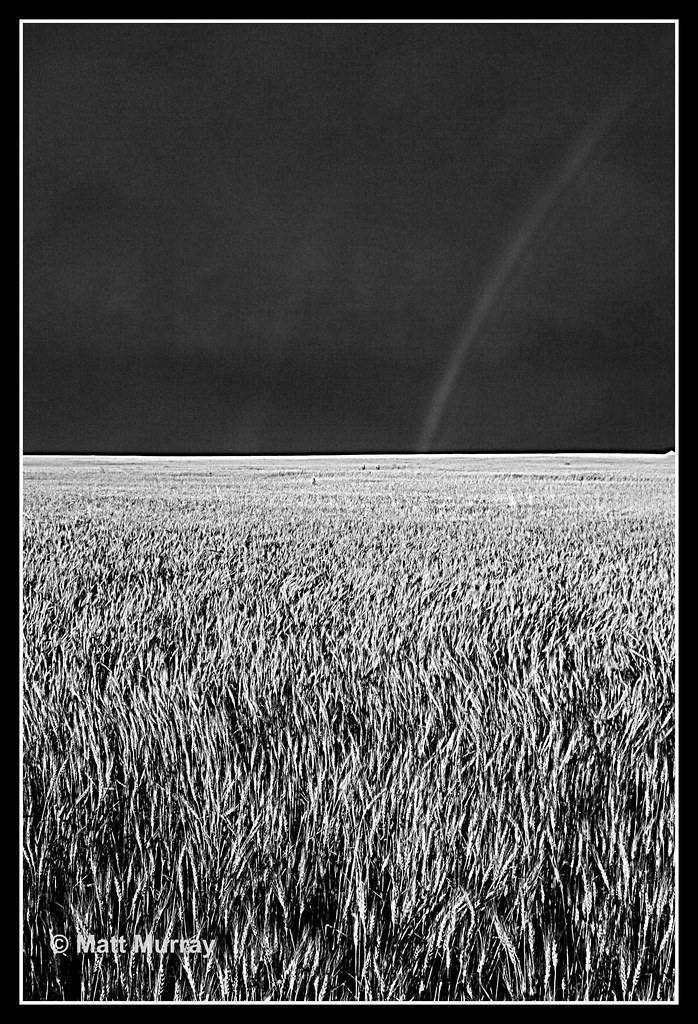
B&W Rainbow over Summer Wheat
Topographic Map of S Co Rd, Strasburg, CO, USA
Find elevation by address:

Places near S Co Rd, Strasburg, CO, USA:
Arapahoe County
4766 S Co Rd 157
5885 Kiowa-bennett Rd
East Powers Place
59696 East Powers Place
3789 S County Rd 129
North Co Road 129
Strasburg
1596 Arapahoe St
42959 E Arkansas Pl
44626 Lariat Trail
Byers
7142 Sun Country Dr
6th St, Bennett, CO, USA
Bennett
24160 Agate Trail
8096 Co Rd 162
Ridge Rd, Agate, CO, USA
40355 Rendezvous Cir
42350 Co Rd 17/21
Recent Searches:
- Elevation of Corso Fratelli Cairoli, 35, Macerata MC, Italy
- Elevation of Tallevast Rd, Sarasota, FL, USA
- Elevation of 4th St E, Sonoma, CA, USA
- Elevation of Black Hollow Rd, Pennsdale, PA, USA
- Elevation of Oakland Ave, Williamsport, PA, USA
- Elevation of Pedrógão Grande, Portugal
- Elevation of Klee Dr, Martinsburg, WV, USA
- Elevation of Via Roma, Pieranica CR, Italy
- Elevation of Tavkvetili Mountain, Georgia
- Elevation of Hartfords Bluff Cir, Mt Pleasant, SC, USA