Elevation of Agate Trail, Deer Trail, CO, USA
Location: United States > Colorado > Elbert County >
Longitude: -104.2091013
Latitude: 39.4564204
Elevation: 1865m / 6119feet
Barometric Pressure: 0KPa
Related Photos:
near bijou
the sky swam into view
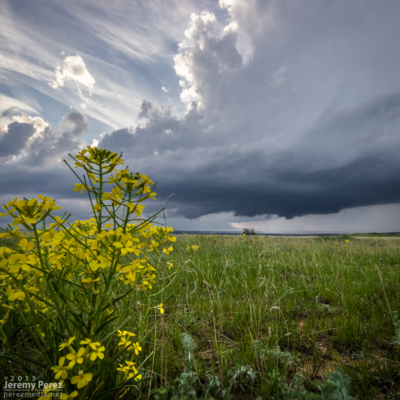
Spring Gulch Supercell
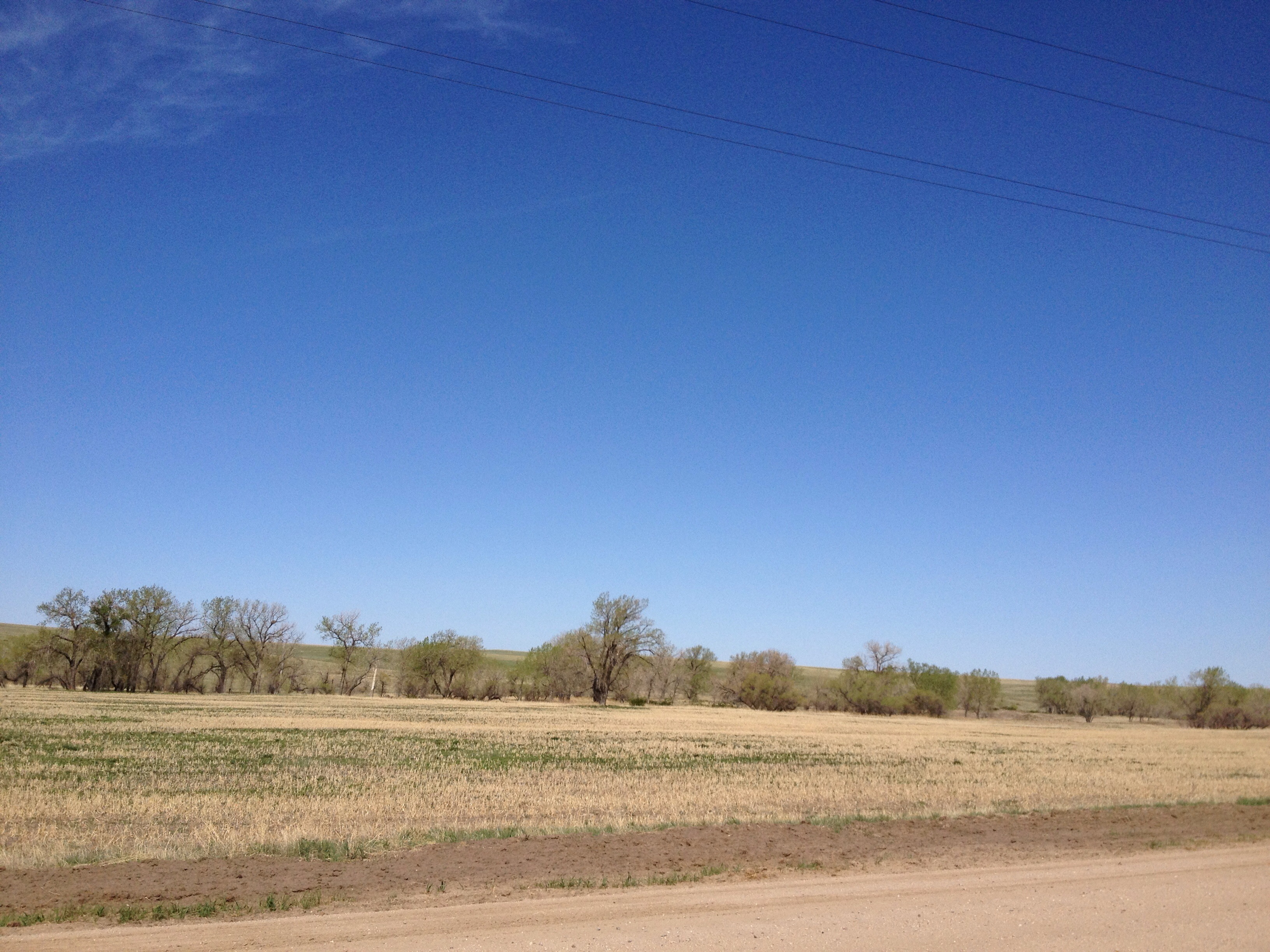
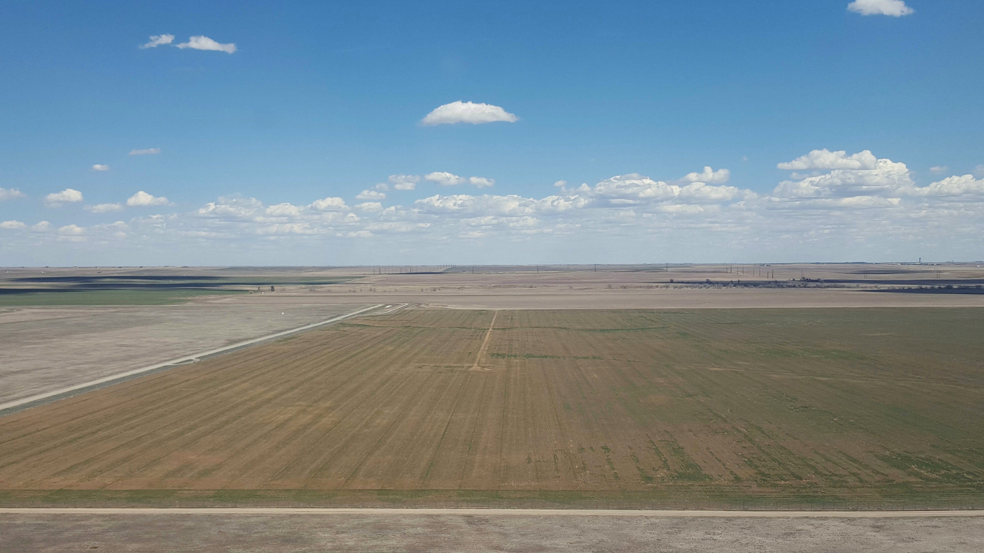
High Plains

it takes a million years to become diamonds so lets just burn
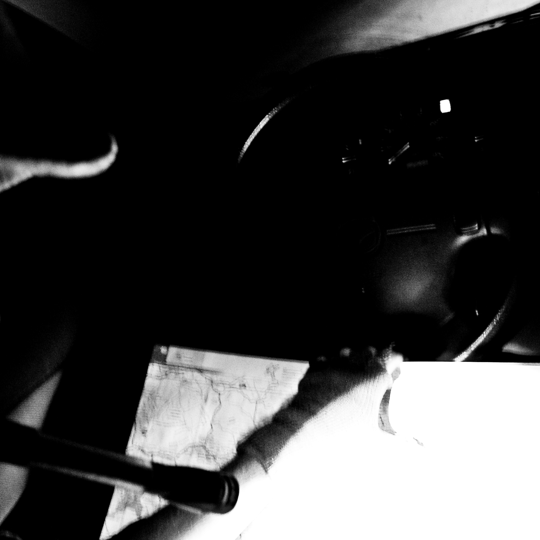
2016-04-06_01-30-34

I see mountains
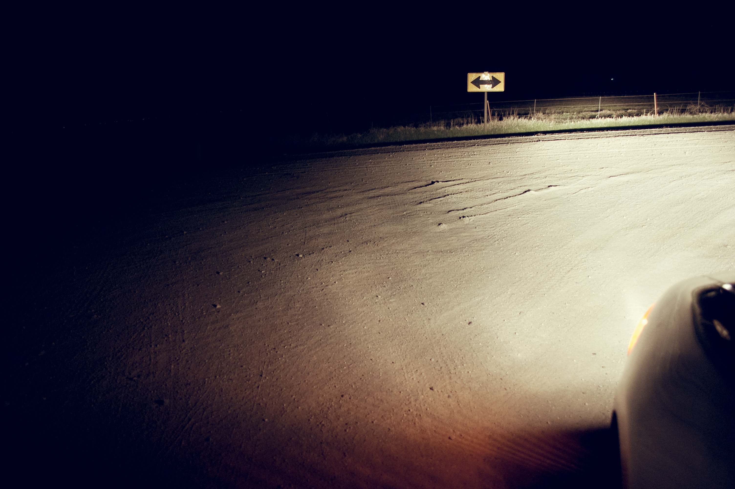
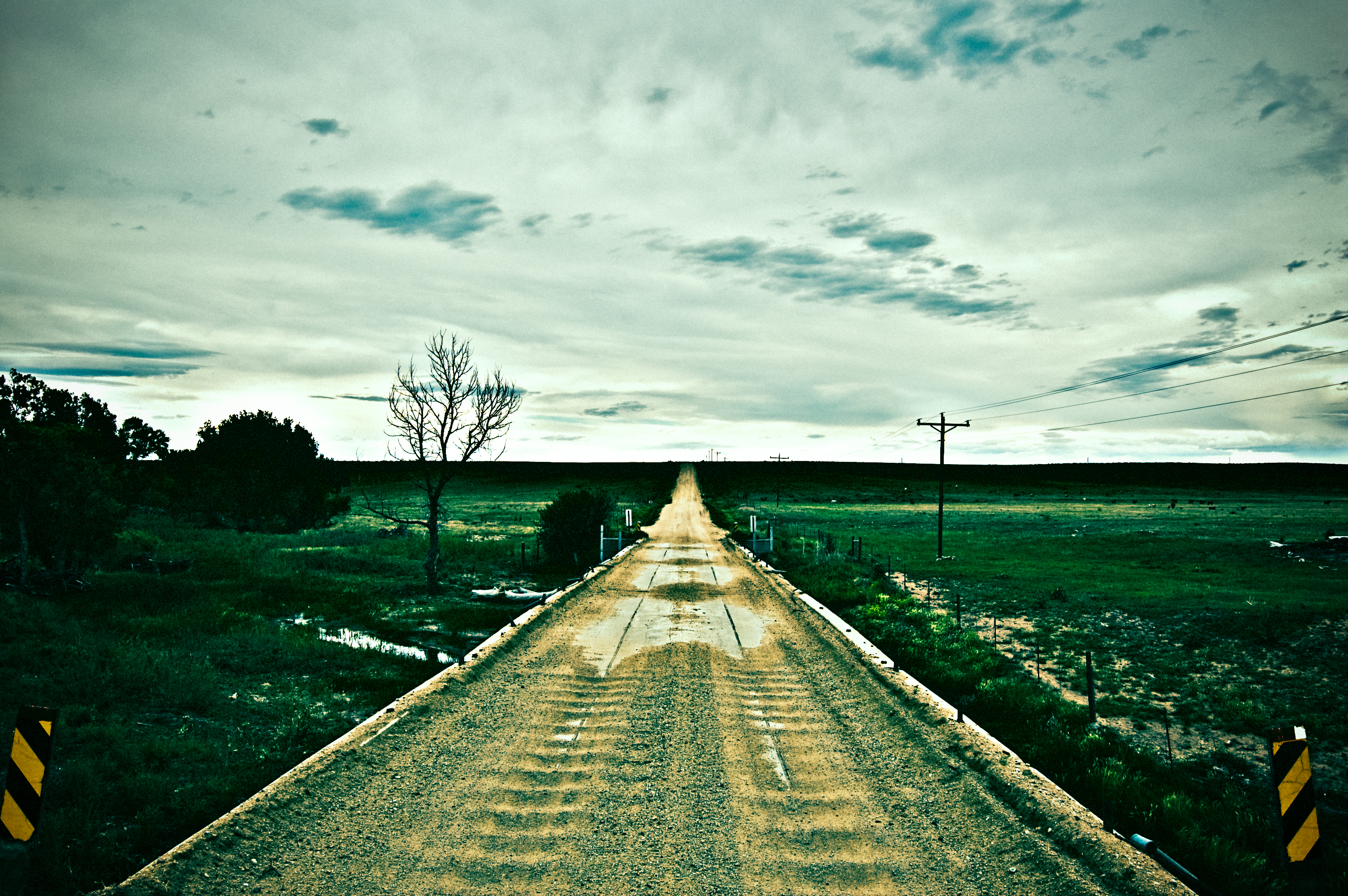
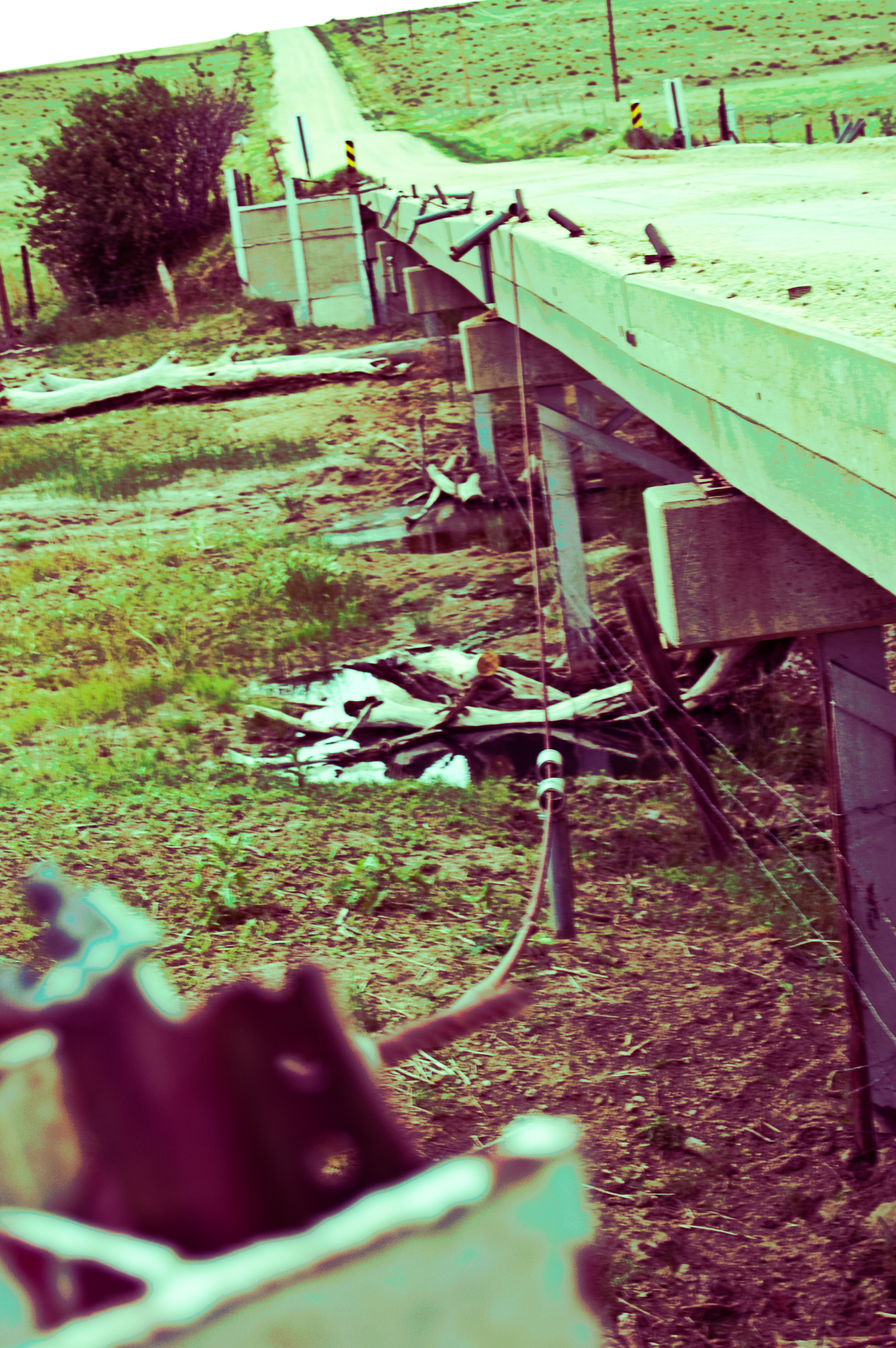
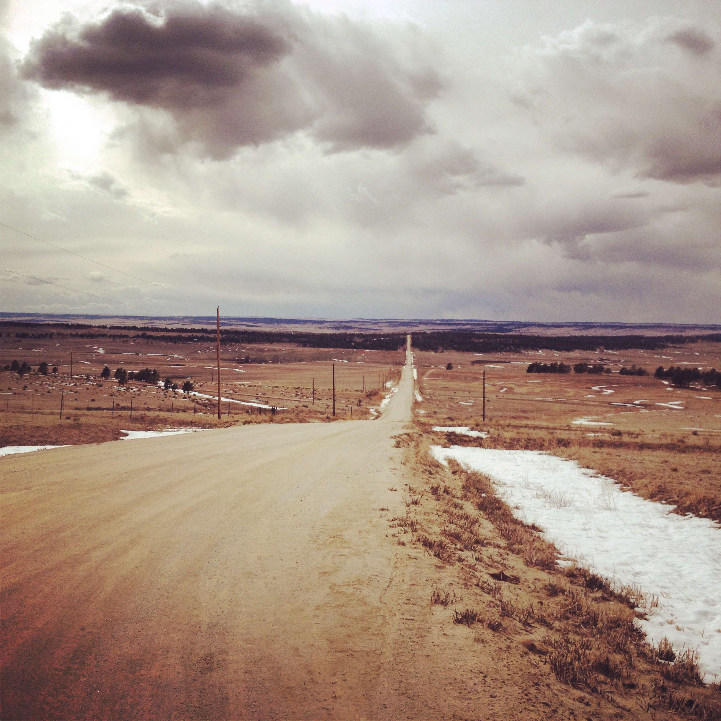
we build roads
how far does your road go?

Carl panoncillon

Cloud shadows
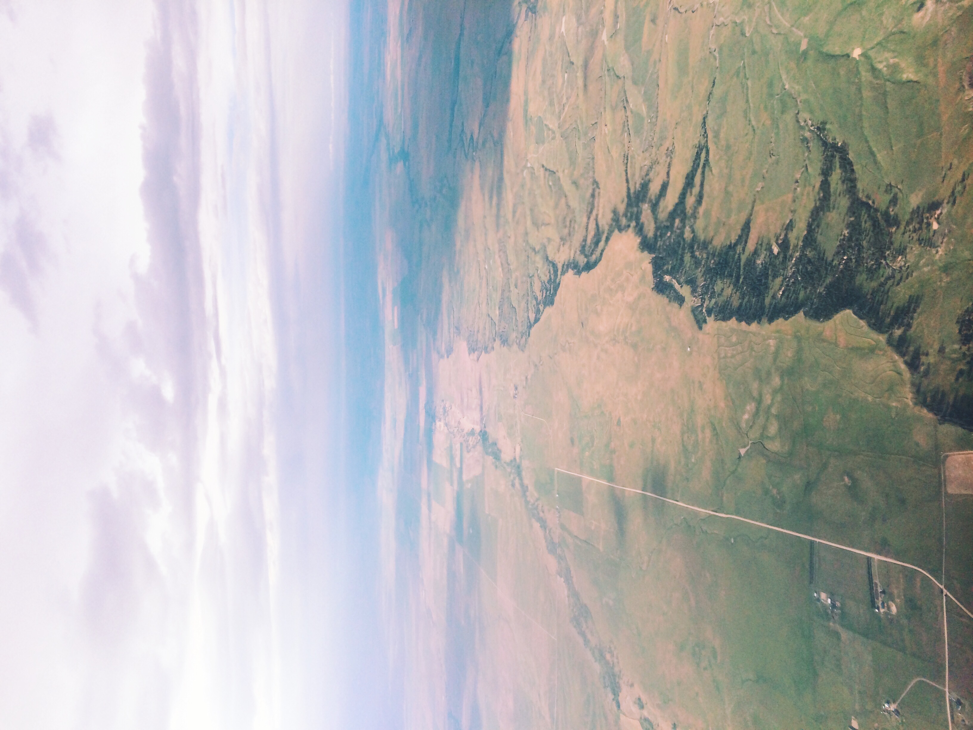
Up over Colorado
AntiEpic 2014
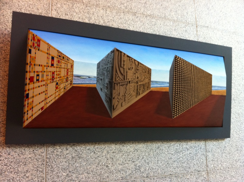
IMG 0651
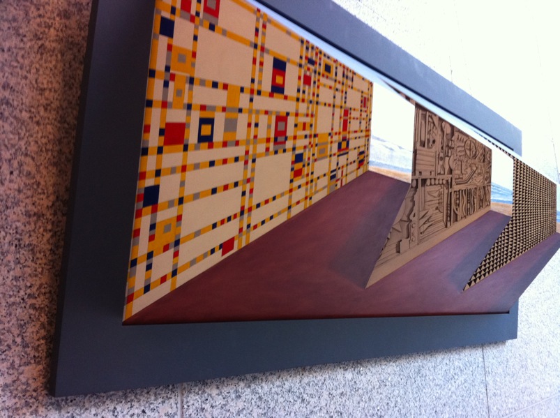
IMG 0652

Bling Bling
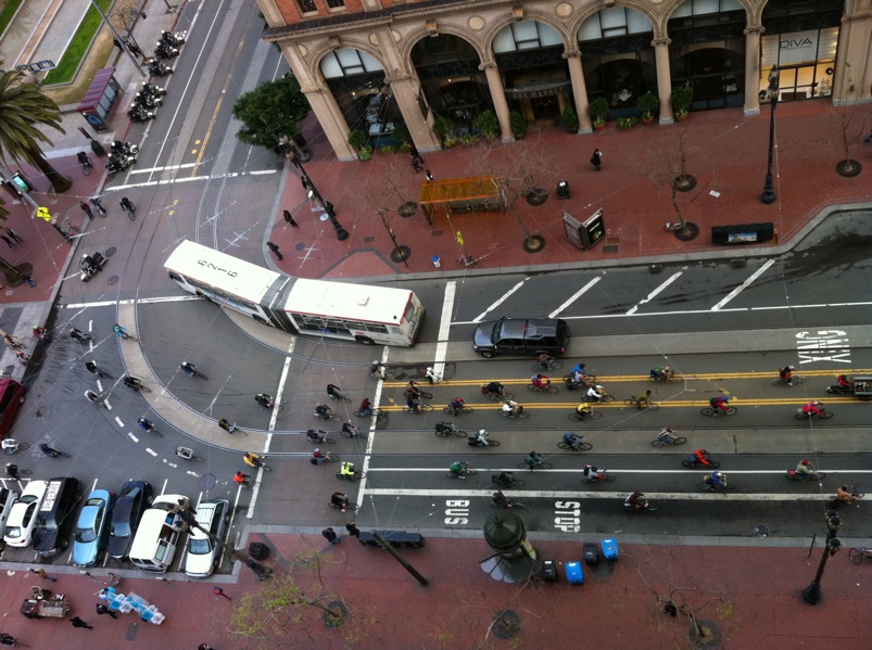
Critical Mass

Fix MUNI Now

Fire is Fun

IMG 0460
IMG 0494
Topographic Map of Agate Trail, Deer Trail, CO, USA
Find elevation by address:

Places near Agate Trail, Deer Trail, CO, USA:
Ridge Rd, Agate, CO, USA
59696 East Powers Place
East Powers Place
7240 S Co Rd 149
4766 S Co Rd 157
Arapahoe County
Byers
5885 Kiowa-bennett Rd
44626 Lariat Trail
8096 Co Rd 162
Strasburg
1596 Arapahoe St
3789 S County Rd 129
North Co Road 129
7142 Sun Country Dr
40355 Rendezvous Cir
40555 Valley View Ct
42959 E Arkansas Pl
5245 Timber Pl
5030 Cedar Way
Recent Searches:
- Elevation map of Greenland, Greenland
- Elevation of Sullivan Hill, New York, New York, 10002, USA
- Elevation of Morehead Road, Withrow Downs, Charlotte, Mecklenburg County, North Carolina, 28262, USA
- Elevation of 2800, Morehead Road, Withrow Downs, Charlotte, Mecklenburg County, North Carolina, 28262, USA
- Elevation of Yangbi Yi Autonomous County, Yunnan, China
- Elevation of Pingpo, Yangbi Yi Autonomous County, Yunnan, China
- Elevation of Mount Malong, Pingpo, Yangbi Yi Autonomous County, Yunnan, China
- Elevation map of Yongping County, Yunnan, China
- Elevation of North 8th Street, Palatka, Putnam County, Florida, 32177, USA
- Elevation of 107, Big Apple Road, East Palatka, Putnam County, Florida, 32131, USA
- Elevation of Jiezi, Chongzhou City, Sichuan, China
- Elevation of Chongzhou City, Sichuan, China
- Elevation of Huaiyuan, Chongzhou City, Sichuan, China
- Elevation of Qingxia, Chengdu, Sichuan, China
- Elevation of Corso Fratelli Cairoli, 35, Macerata MC, Italy
- Elevation of Tallevast Rd, Sarasota, FL, USA
- Elevation of 4th St E, Sonoma, CA, USA
- Elevation of Black Hollow Rd, Pennsdale, PA, USA
- Elevation of Oakland Ave, Williamsport, PA, USA
- Elevation of Pedrógão Grande, Portugal